Get Lost Mountaineering
You are here: England » Lake District » 2 Far Eastern Fells
Sleet Fell, High Dodd, Place Fell & Beda Fell from Sandwick
Sleet Fell, High Dodd, Place Fell & Beda Fell from Sandwick
Start/Finish
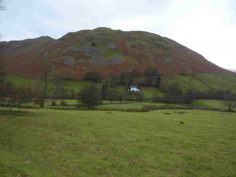
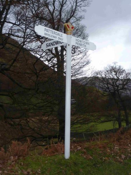
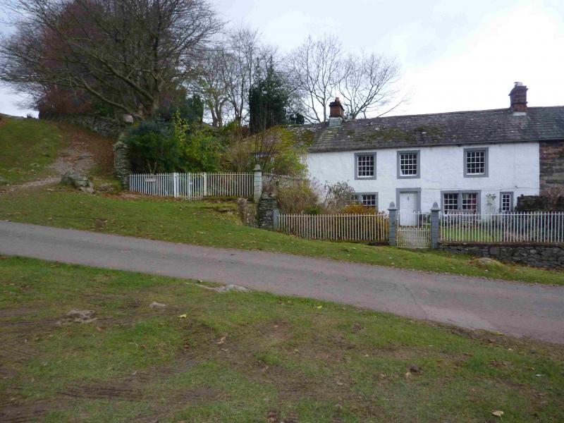
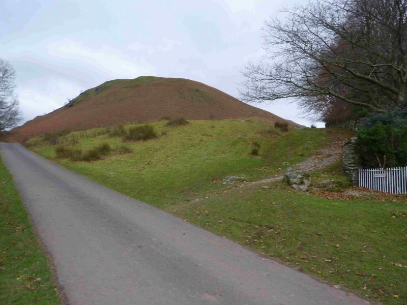
Sandwick which is beyond Martindale Church on the eastern side of Ullswater. From Pooley Bridge, at the N end of Ullswater, take the road S signposted Howtown & Martindale. In places, this road is very narrow with passing places so you may need to reverse if you meet another car! Continue past Howtown then climb over the low pass – lots of tight bends – to the E of Hallin Fell. Take the right turn for Sandwick and continue ahead on an even narrower road. Further on take a left fork then a reverse right fork (posh road sign with a crown on top) and continue past the N end of Sleet Fell (above the road on the left) to Sandwick where there is a row of cottages on the left. The left hand one is called Townhead Cottage. (See photo) There is some parking opposite these cottages but if not then it may be necessary to park further back beyond the reverse right fork. This is not too much of a problem as this bit of road is walked at the end anyway. Please do not park where you may irritate local residents.
Distance/Time
12 km About 4 – 5 hours
Peaks
Sleet Fell, 378 m, NY 422 189.
High Dodd, 501 m, NY 415 182.
Place Fell, 657 m, NY 406 170
Beda Fell, 509 m, NY 428 170. OS 1 : 50 000 , sheet 90.
OS 1 : 25 000 Outdoor Leisure 5, English Lake District NE Area.
Introduction
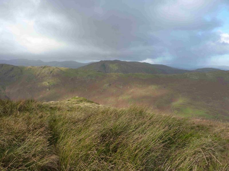
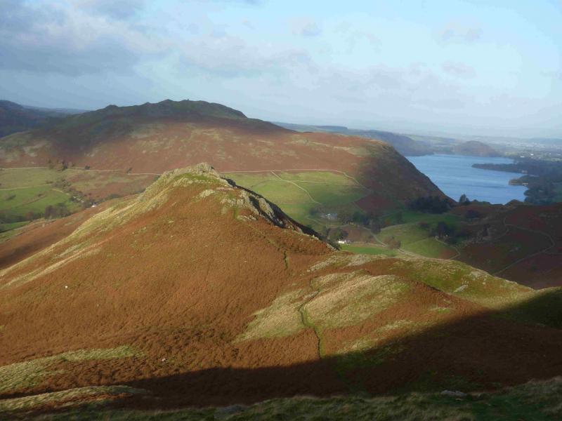
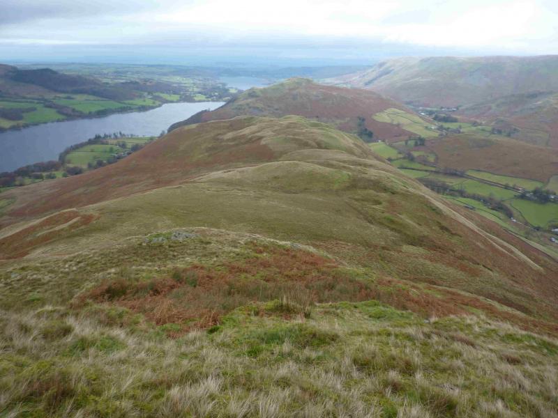
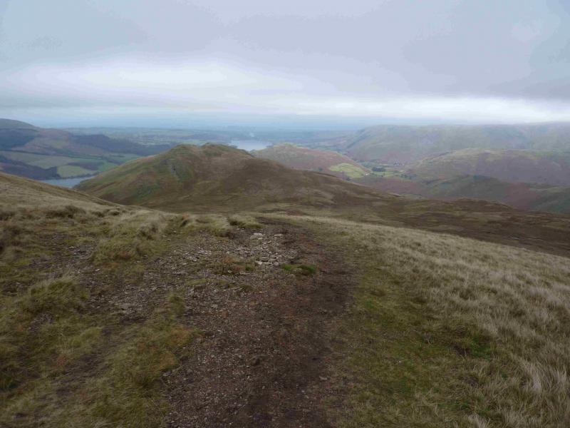
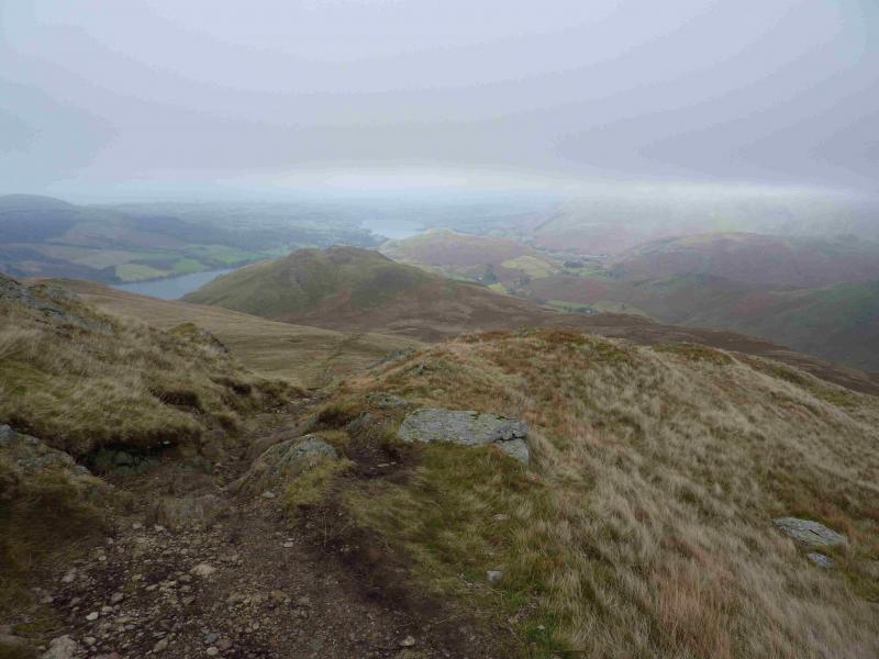
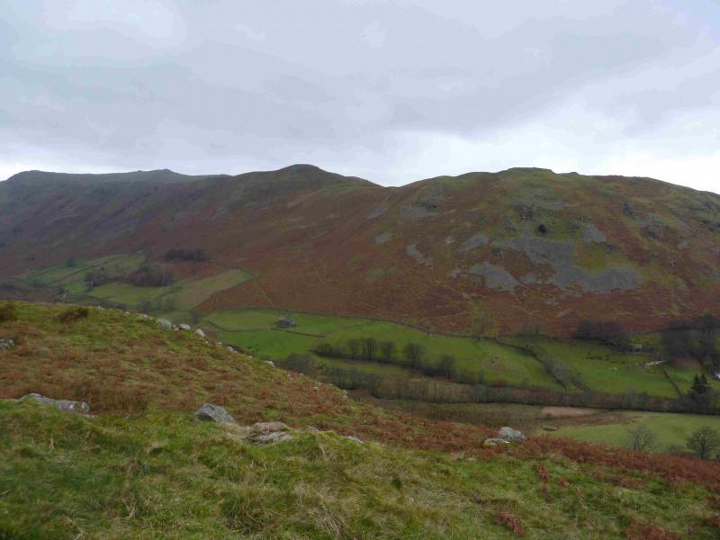
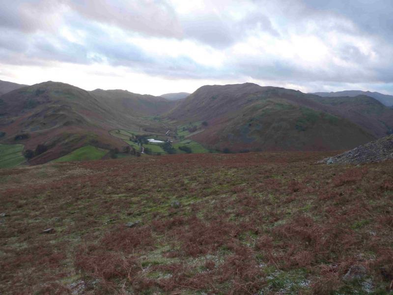
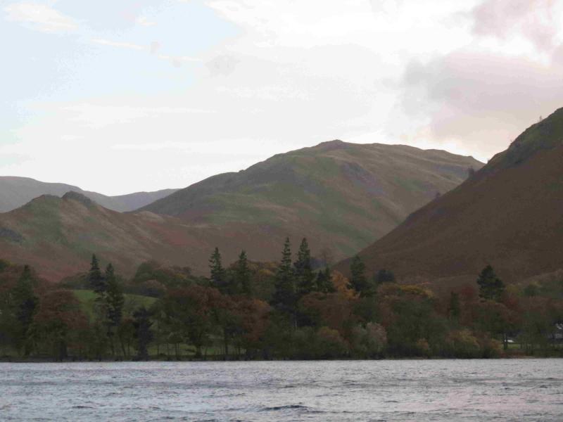
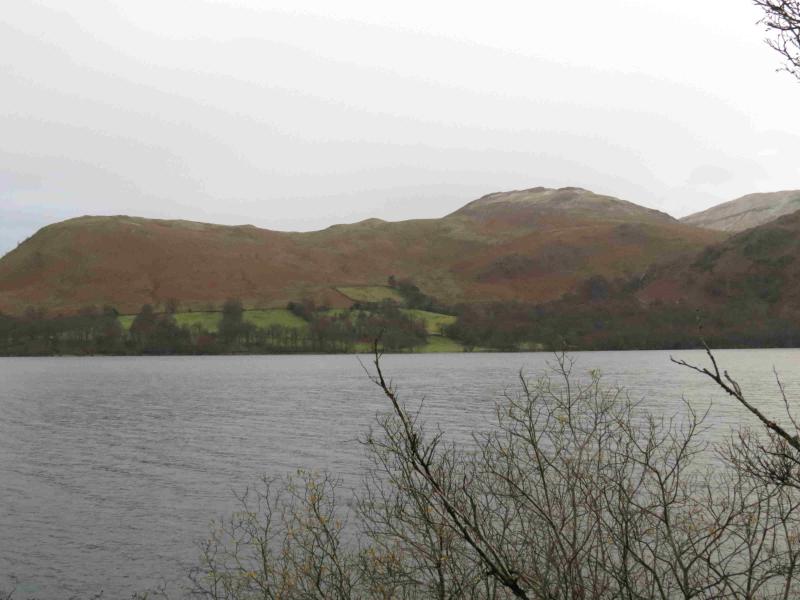
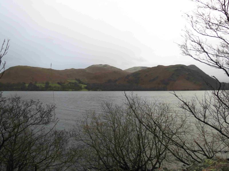
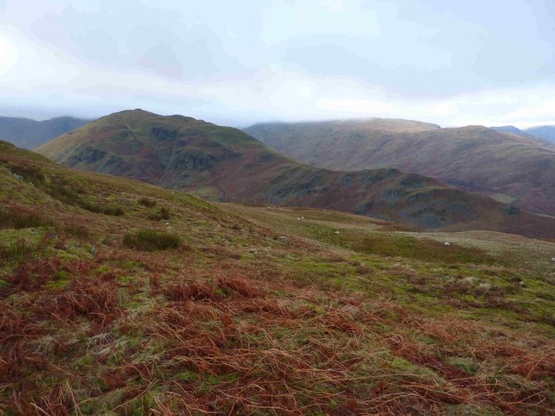
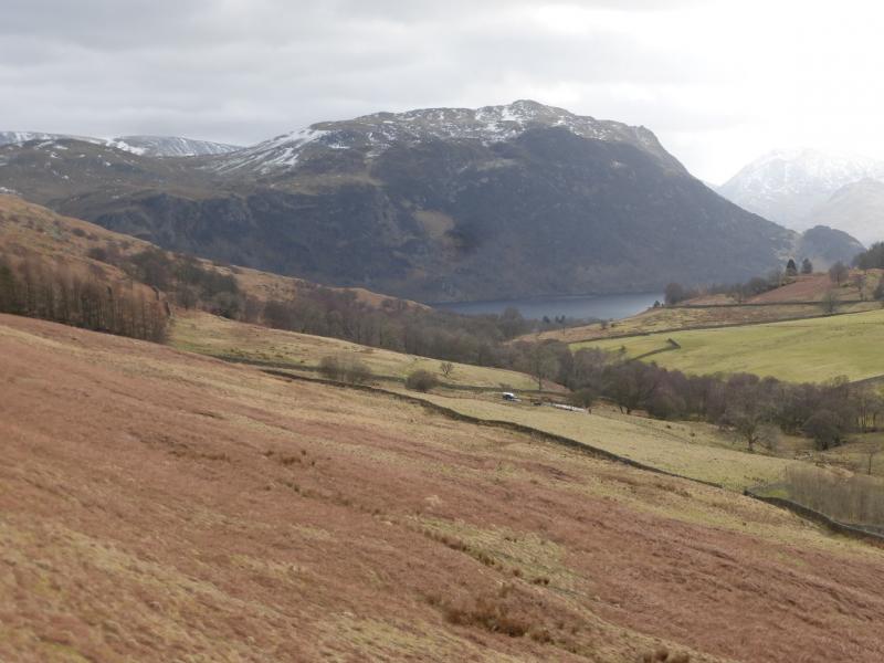
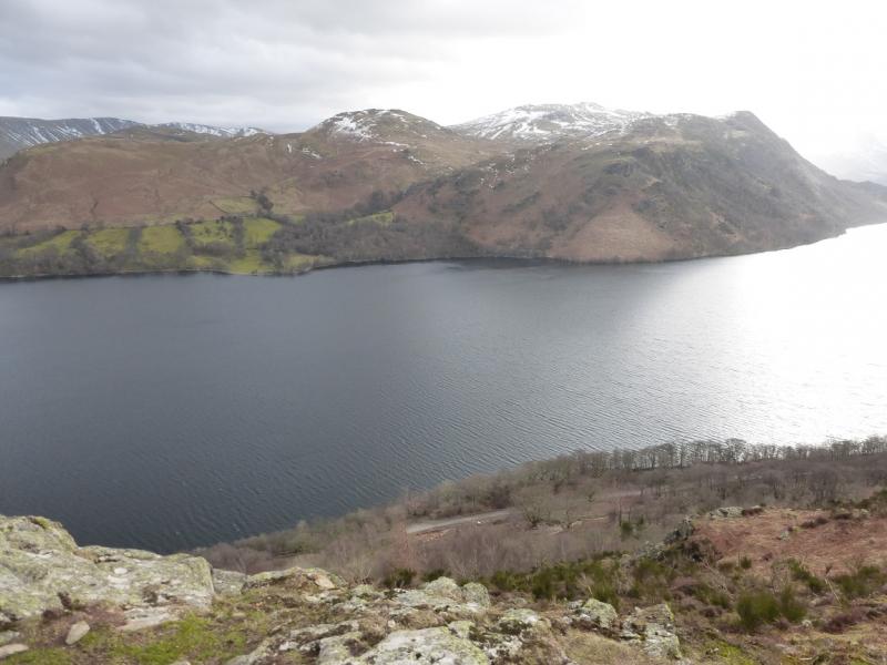
This is a lovely walk. There are good and very distinctive paths most of the way. On a clear day, there are extensive views especially to Loadpot Hill, Wether Hill, High Raise and Rampsgill Head and Place Fell. The Angletarn Pikes can also be seen to the S and Hallin Fell is prominent to the N. Across Ullswater, most of the Helvellyn range will be seen on a clear day as well as Gowbarrow (directly across the lake) and Great and Little Mell Fells.
Route
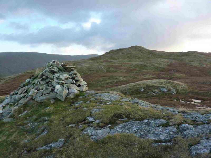
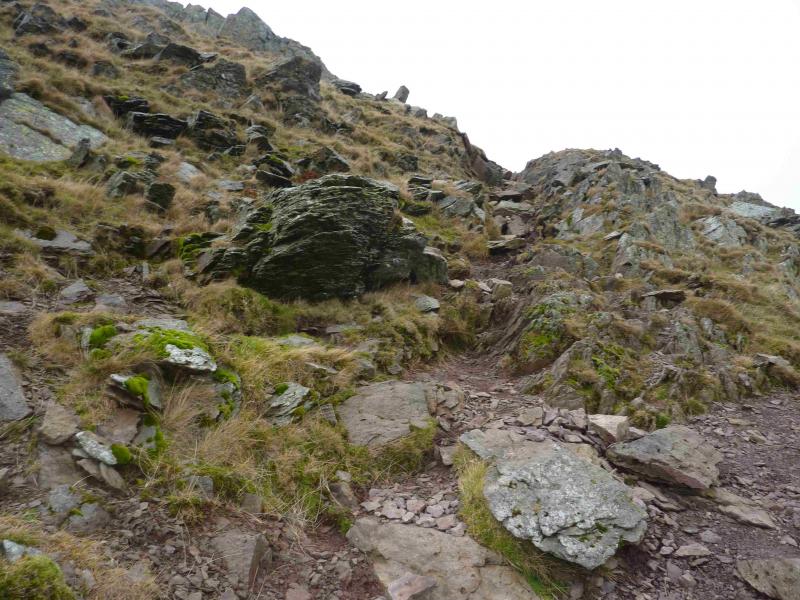
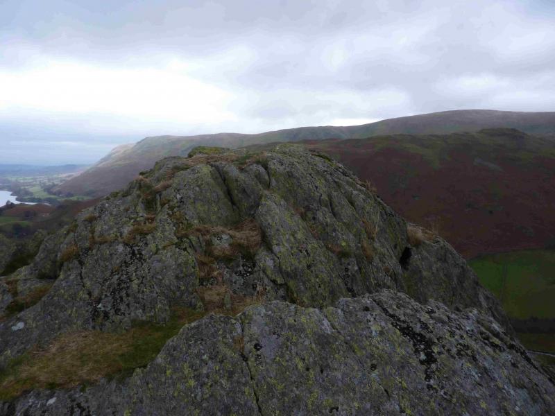
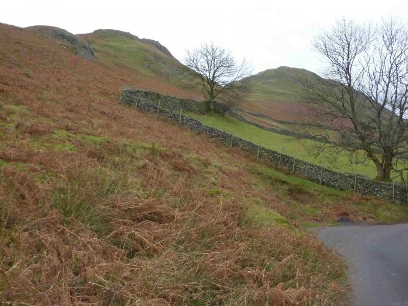
(1) Walk up the path by the wall on the left of Townhead Cottage. Just after a gate marked private look for a path going left and climbing. This goes to a memorial seat then continues up, steeply in places, to the top of Sleet Fell, 378 m. There is a cairn but it is not on the highest point.
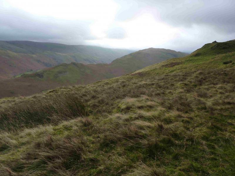
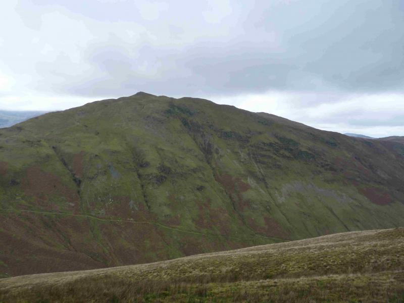
(2) There is virtually no descent so just continue, roughly SW, on the path which rises ever so gently. As High Dodd is approached, the main path appears to go to its left side. Leave it and go right to the crest (faint path) then head S up the moderately steep slopes which are fairly short lived to reach the top of High Dodd, 501 m. Again the cairn is not on the highest point.
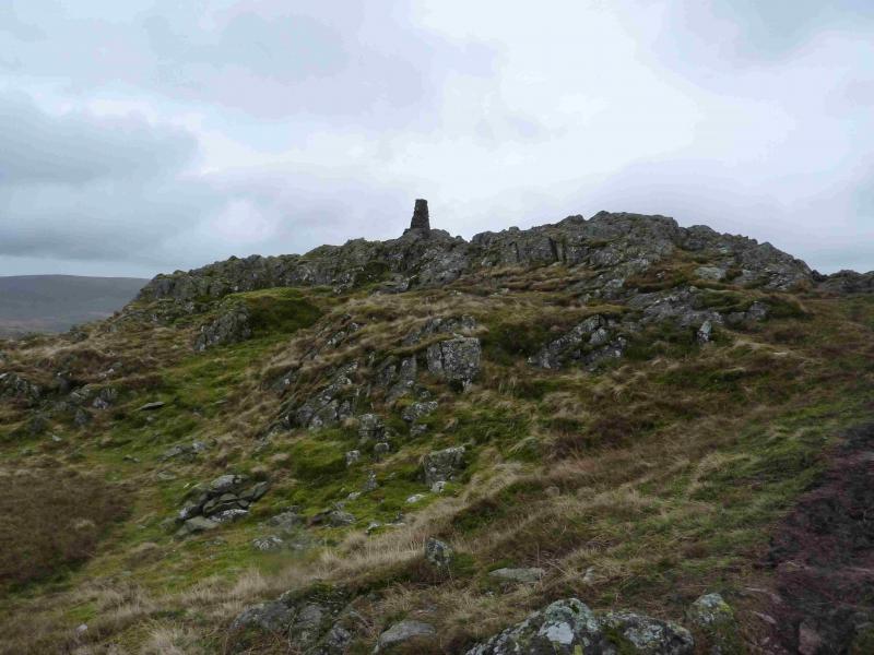
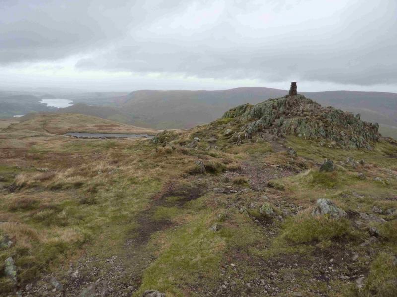
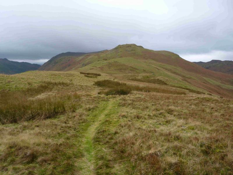
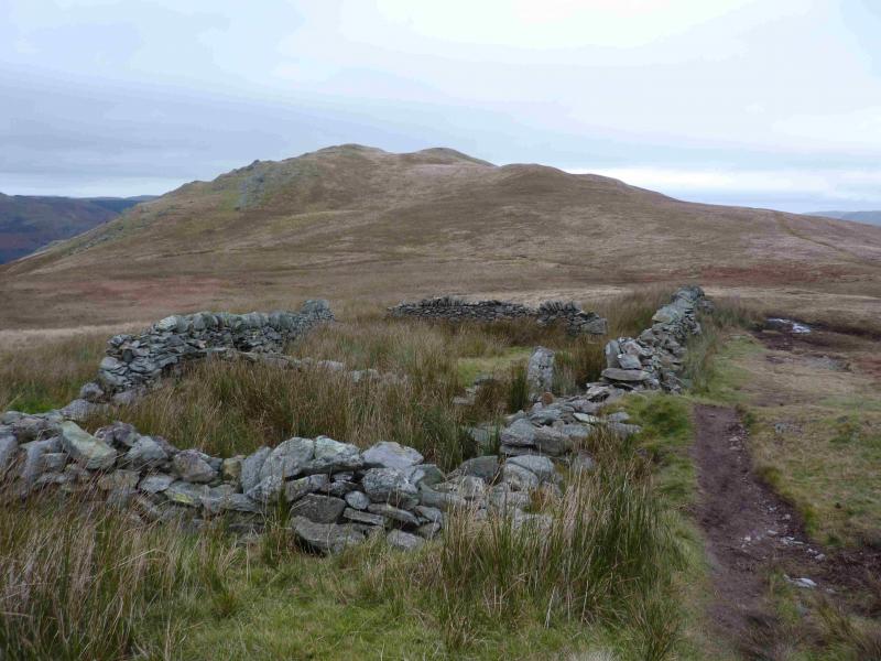
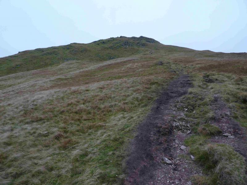
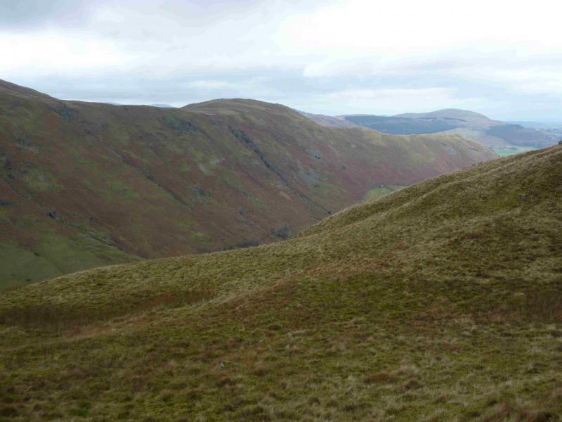
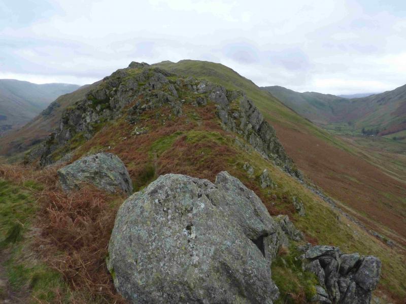
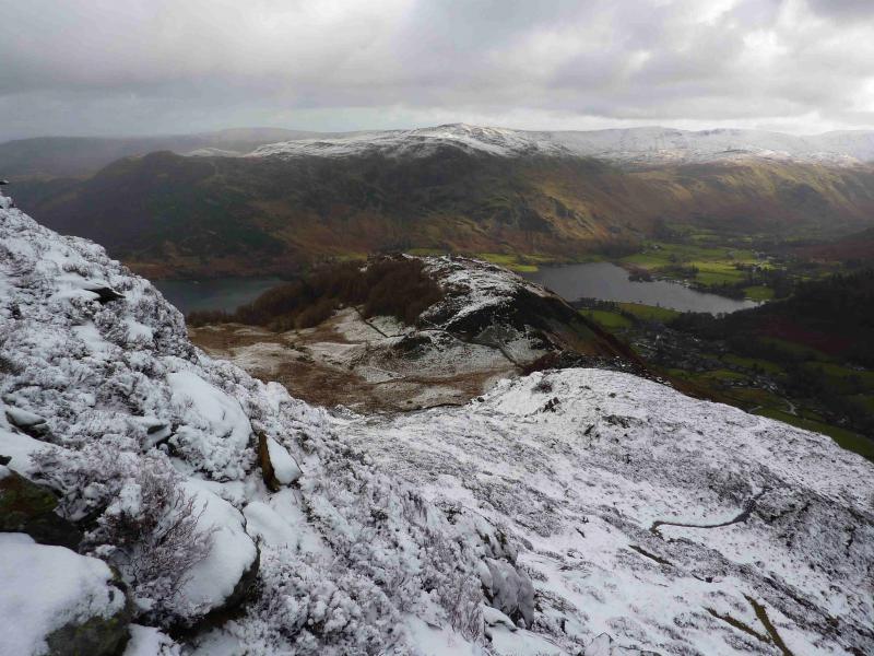
(3) Descend roughly S to rejoin the main path on Low Moss where there is an old sheep fold of stone walls. A path goes off right near here and slants across the fell side but another path goes ahead and this is the preferred route. Continue, roughly SW, climbing gently, and follow the path above Hart Crag then past the N end of the moorland tarn. The summit cairn and outcrop is usually visible from here. Continue on the path which leads to the summit outcrop, steep on the E side (left) where a traditional stone trig point marks the summit of Place Fell, 657 m.
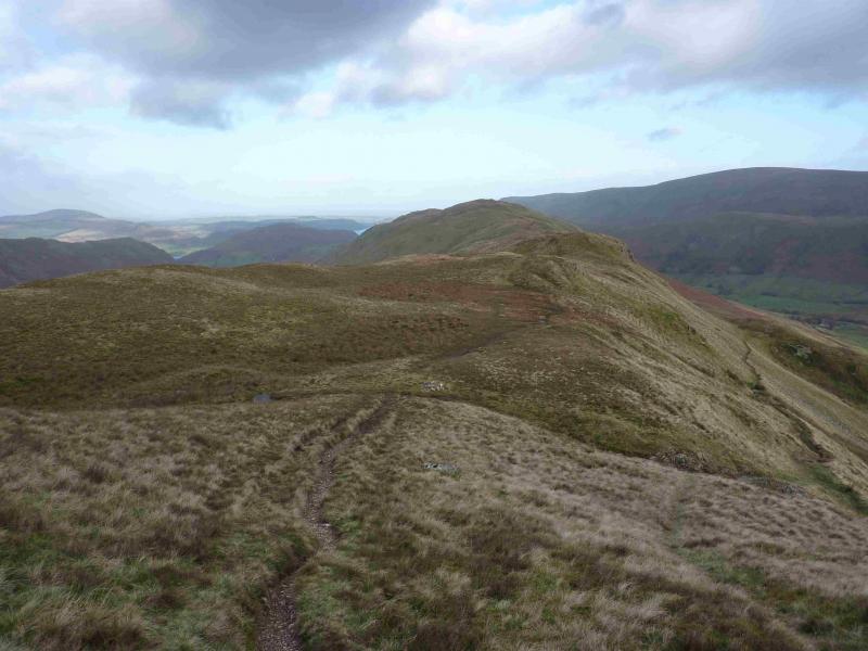
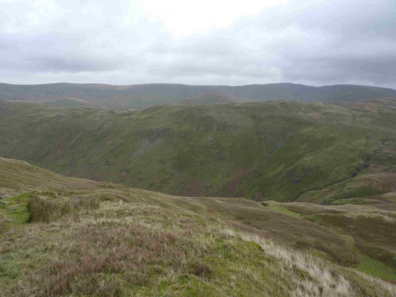
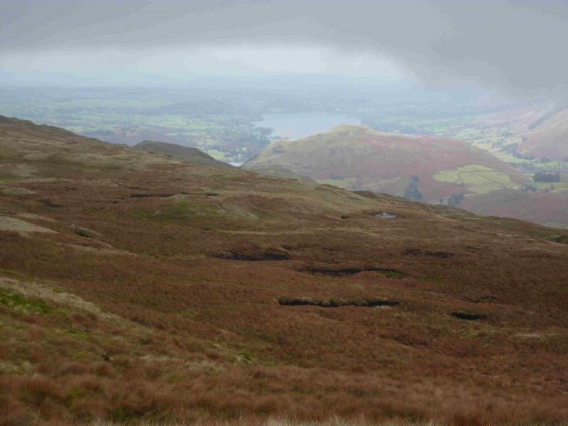
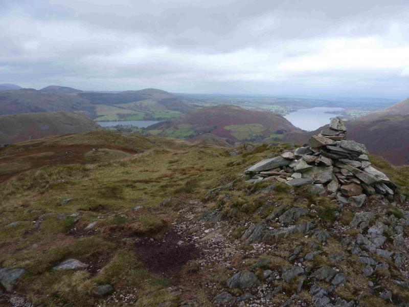
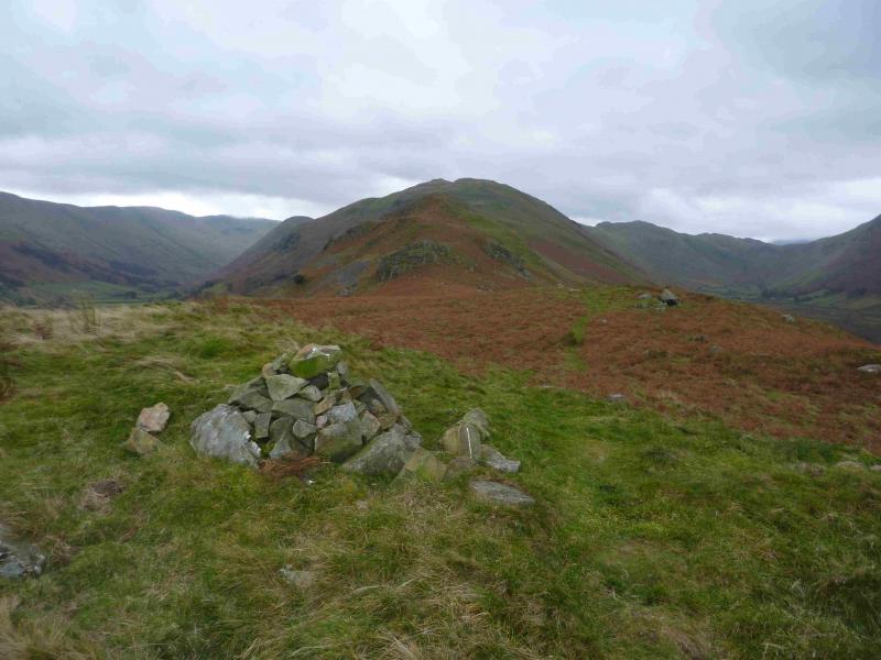
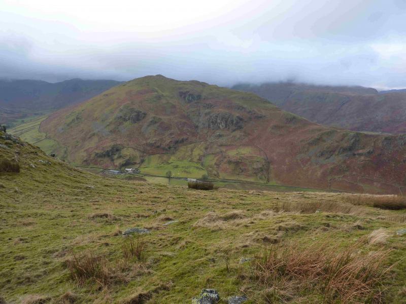
(4) Descend the very obvious path along the S ridge, almost level at first, then down, descending an easy rocky groove after which the path zig zags. Almost on the last corner, a faint grassy path goes off ahead, where the main path goes right and this crosses above Boredale Hause then eventually joins a path, usually around Freeze Beck, making a slanting ascent on to the Beda Fell ridge. The path joins the crest path at a cairn which is also where another path descends into Bannerdale. Alternatively, make a direct ascent on to the Beda Fell crest and follow the crest path N to the above cairn. From the cairn, the path descends then rises gently to the medium cairn which marks the summit of Beda Fell, 509 m, also known as Beda Head.
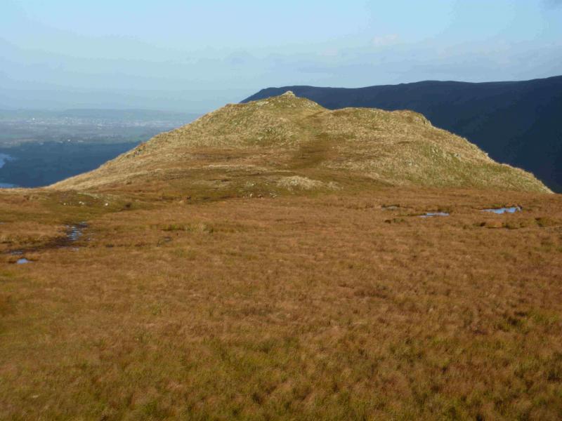
(5) Descend NNE on the path. There is a lower top just off this path to the left. Continue down, still on the path which eventually leads down to a col before Winter Crag. Continue on the crest over Winter Crag then down the N side and continue along the crest until reaching a “hole” in a wall beyond which is a grassy field. A little further, on the left, is a gap in a wall where there used to be a gate. This is just before a small tree. Beyond the wall, a rough grassy track leads down to the road between the two forks. Turn left then take the reverse right fork back to the start.
Notes
(a) This walk took place on 3rd December, 2013.
Photos - Hover over photo for caption. Click on to enlarge. Click on again to reduce.