Get Lost Mountaineering
You are here: England » Peak District » Kinder, Brown Knoll & South Head from Hayfield
Kinder Low End, Kinder Low, South Head & Mount Famine from Hayfield campsite or Bowden Bridge car park
Kinder Low End, Kinder Low, South Head & Mount Famine
from Hayfield campsite or Bowden Bridge car park
Start/Finish
Hayfield campsite or Bowden Bridge car park. If coming from the south or east, take the A619 from Chesterfield to Baslow before picking up the A623 signed for Manchester. Those approaching from Buxton, on the A6, will meet this route at a roundabout just before Chapel-en-le-Frith. Soon after, take the A624 signed for Glossop. Continue on this road until the right turn into Hayfield village is reached. Turn in then go left and pass the church before crossing the river then follow the road on the N side of the river until past the Sportsman pub. Soon after there is a right turn, over a bridge, for the campsite. There are public toilets just across this bridge. The Bowden Bridge car park is a little further along the road after this turning. Those approaching from Glossop should fork left on the one way street into the village until the above route is joined. There are a few signs in the village for the campsite which may help.
Distance/Time
11 km About 4 – 5 hours
Peaks
Kinder Low, 633 m, SK 079 870.
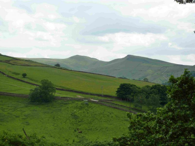
South Head, 494 m, SK 061 845.
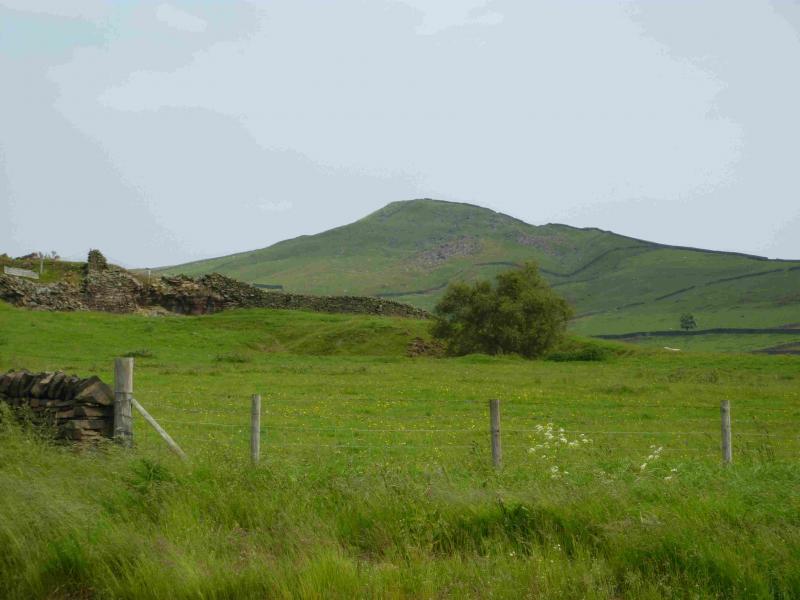
Mount Famine, c 470 m, SK 056 849.
OS Outdoor Leisure 1: Dark Peak. OS 110 (1:50 000).
Introduction
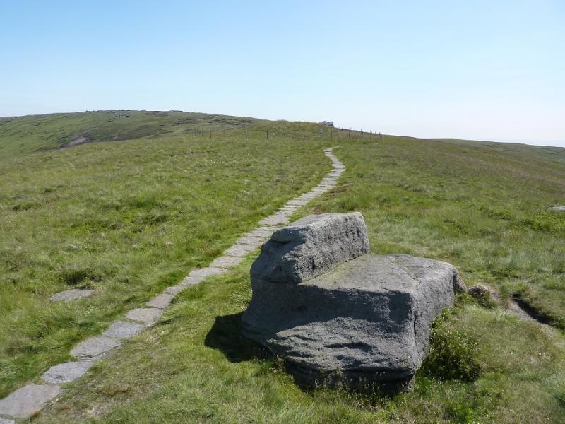
This is a lovely walk, ideal for a short winter's day, but it does cross some boggy peaty ground on the approach to South Head so is best tackled either when the ground is frozen hard or when it has been baked dry by the summer sun. The campsite at Hayfield is very pleasant and well equipped. It is owned by the Camping and Caravanning Club. The rates for members, about £7 less per night, are very much below those for non-members. It may be worth joining as it only takes about six nights to break even. The path up the steep section of Kinder Low End has been constructed and is one of the finest paths in the Peak District. It knocks spots off the over romanticised Jacob's Ladder. There is a longer version of this walk posted which includes the highest point on Kinder Scout and a short detour to the Woolpacks where there is a rock shaped like Winnie the Pooh!
Route
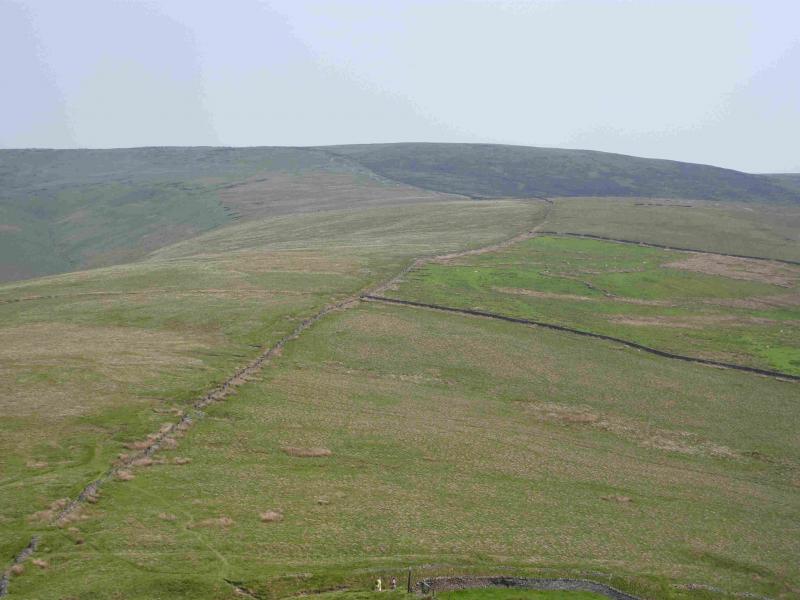
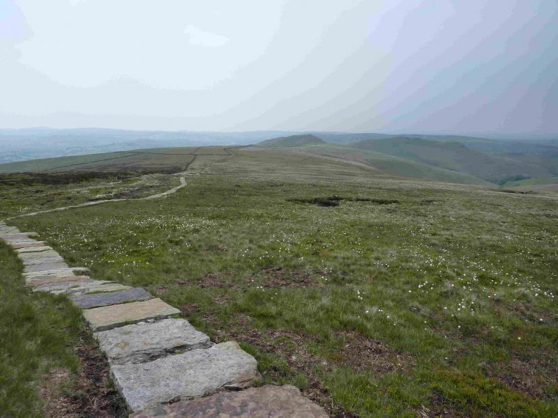
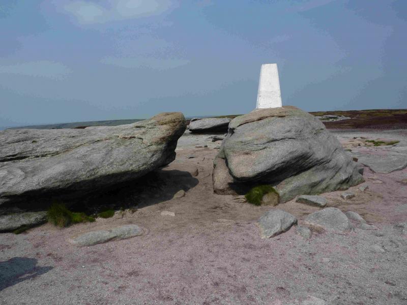
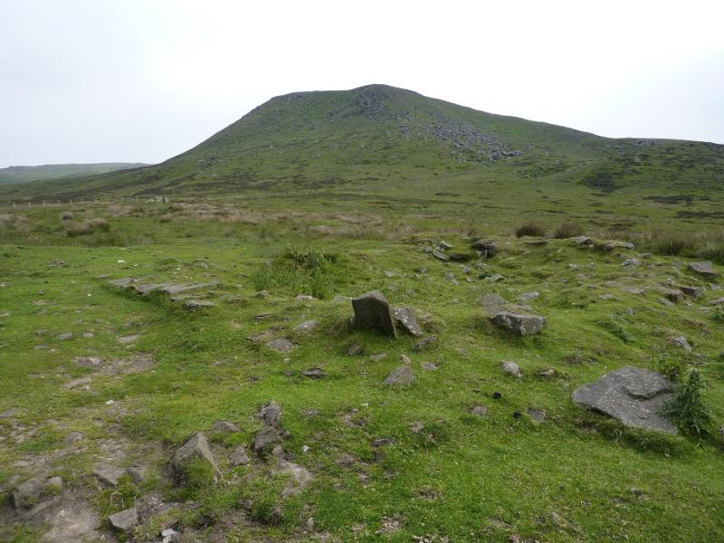
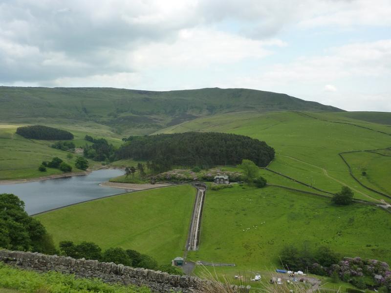
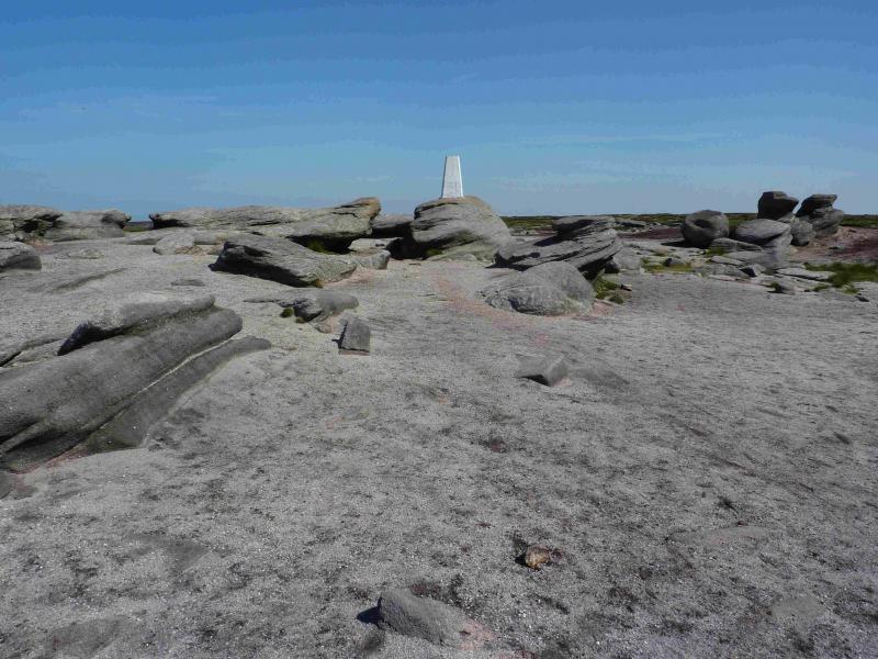
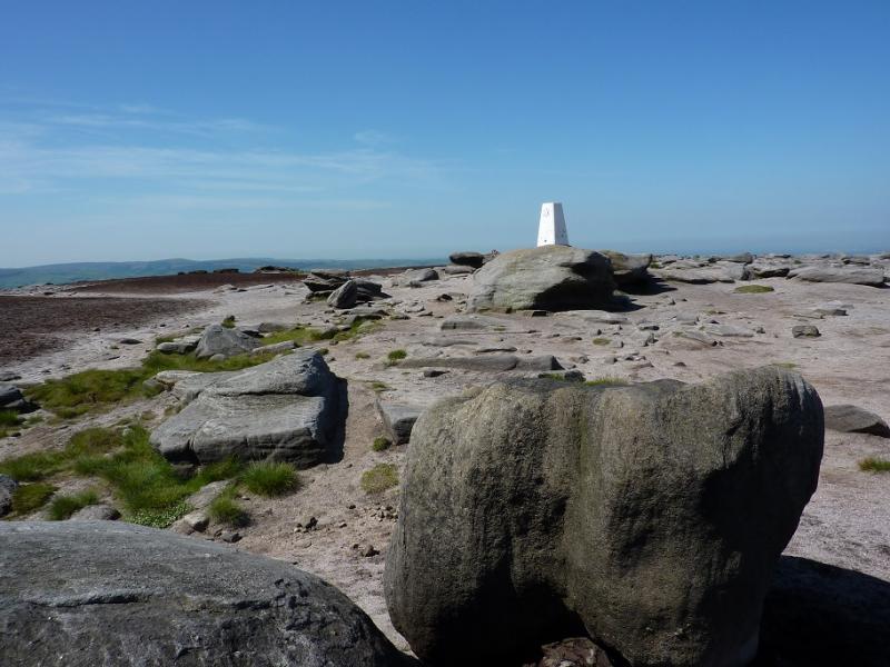
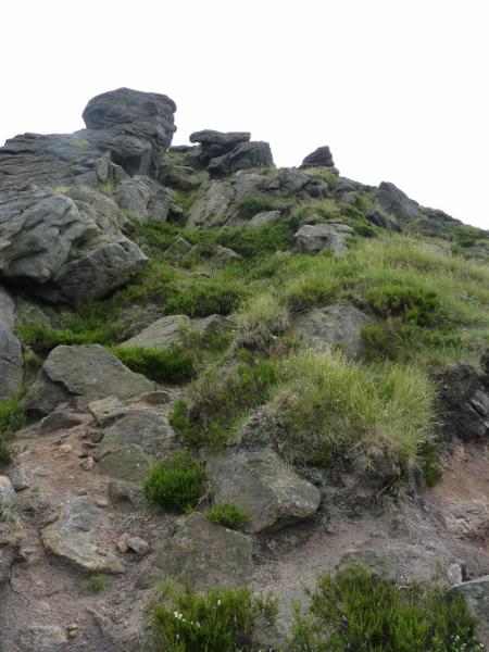
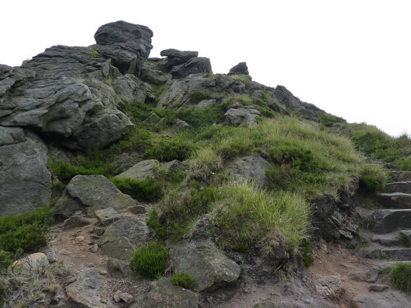
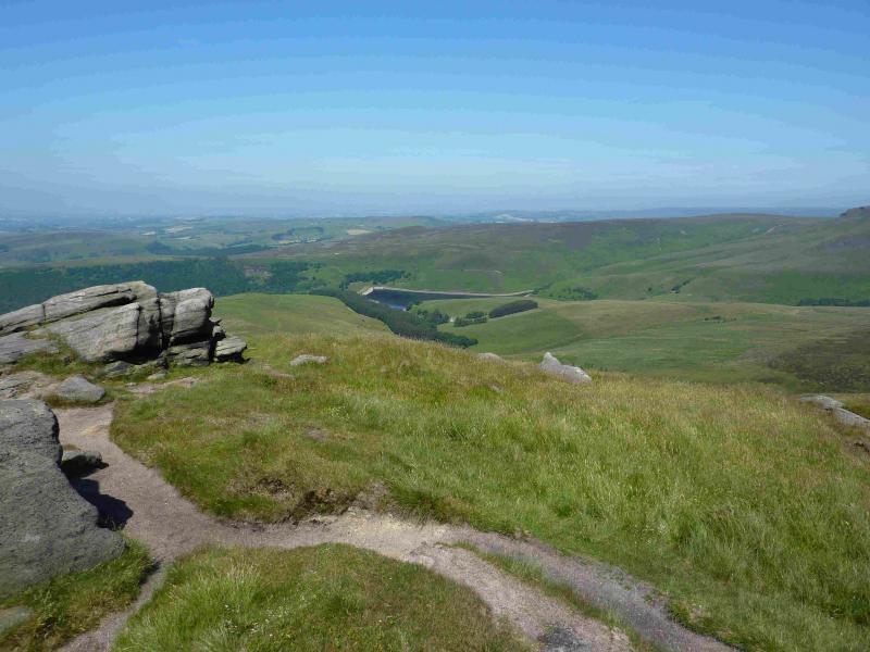
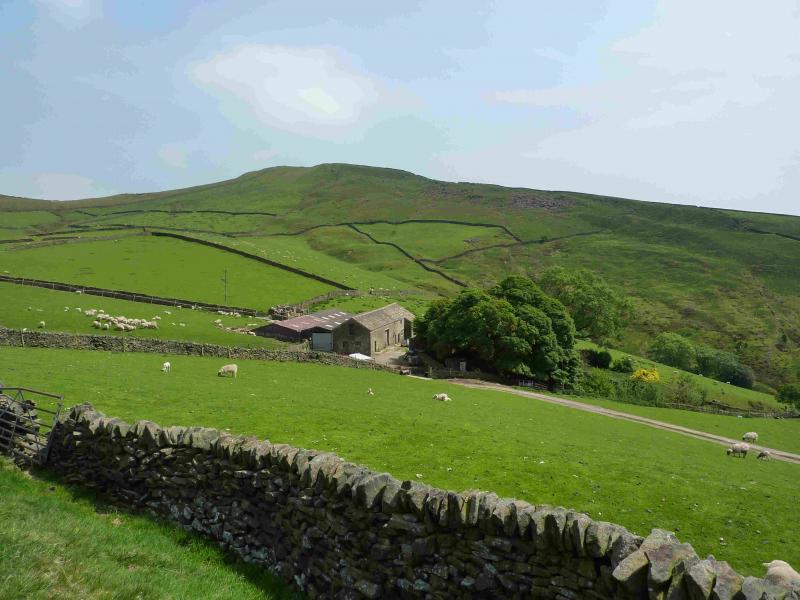
(1) From the bridge by the public toilets, turn left (camp site is right) and walk up the minor road with the river on the left. Soon the river is on the right. Keep going ahead at junctions, aiming for Tunstead House which is signposted. Walk up the track which goes around the right hand side of the buildings before heading E up a green lane. Follow this, shadowing a wall on the right, crossing stiles and passing through gates. Finally cross the wall on the right near to the National Trust sign, just past the wall. Walk up the side of the same wall, soon passing through another gate, before a path goes off to the right aiming for the obvious nose of Kinder Low End. A lovely engineered path takes over for the steep section. When the path levels out, continue. It soon becomes a slabbed path. Ignore another slabbed path going off right. Soon some cairns appear. Follow them until a very large cairn is reached. Turn right here and within 40 m, reach the trig point of Kinder Low, 633 m which stands on a boulder.
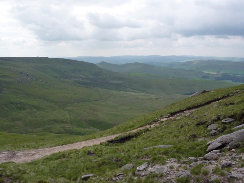
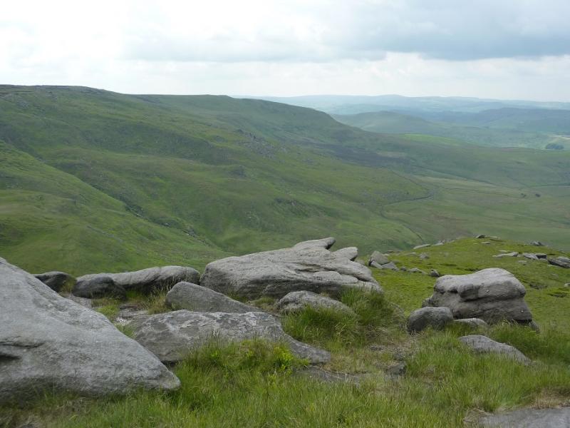
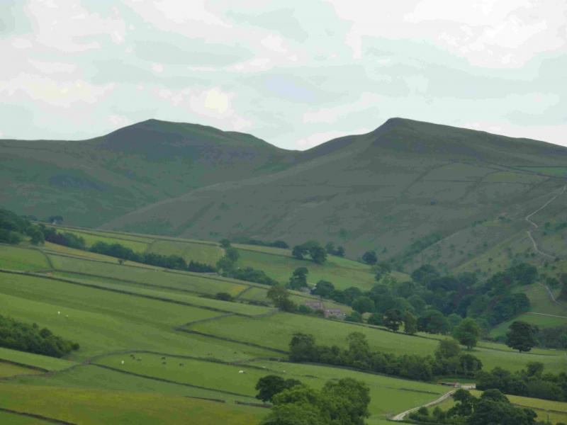
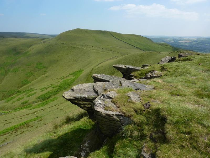
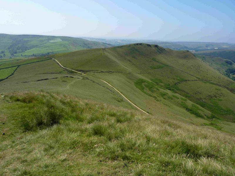
(2) Walk roughly S to pick up a path, the Pennine Way. This soon splits so take the right fork and it soon becomes more constructed. Follow it down to reach a crossroad with a sign post. Go almost directly across and follow the slabbed path across the NW flank of Brown Knoll. Pass hill 489 and continue, following a wall. The slabbed path will run out at some stage but the wall is still there as a guide. The path eventually goes through a gap in the wall and reaches a main path. Cross this and follow the fainter grassy path up to the medium cairn of South Head, 494 m.
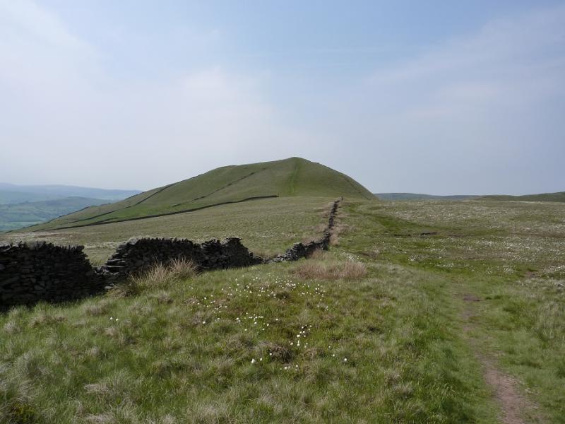
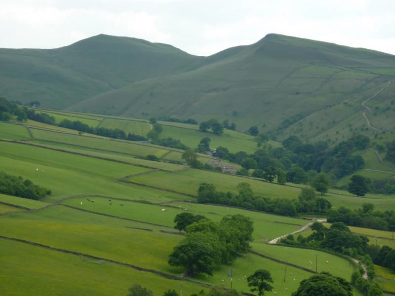
(3) Descend, on a faint path, roughly W to rejoin the main path recently crossed. Follow this for a short distance before turning right up a rough grassy track. This soon becomes a path and leads up on to Mount Famine, 470 m, where there is no cairn. Continue on the path which leaves the wall to follow the edge before coming back to the wall later on. Descend, with a short steep section, crossing a high stile at some stage. Soon reach a track coming down from a gate in the wall and follow this track which is above Coldwell Clough. The road should soon be seen below but do not take the track forking right which leads to a tarmac track which leads to the road. Instead continue ahead, forking left through a diamond crossroads of paths and follow this past a house from where the camp site will be seen. Soon a crossroads of signed paths is reached. Turn right, either over the stile or through the gate, then walk down some steps to emerge in the campsite. If returning to Bowden Bridge car park, cross the camp site drive then soon turn right, by the river, signed back to Bowden Bridge.
Notes
(a) This walk took place on 12th December, 2013.
(b) After Mount Famine, it is possible to stay on the crest for longer than described above as the crest path continues with, initially, the wall on the left. There are various paths descending to the right which would join the above route. It is possible to continue across the top of the wood above the camp site which is obvious even when there are no tents on it (out of season). When just past the camp site, a path slants back to the right to join the path at the top of the steps above the camp site. In Autumn, this path may not be that obvious, especially lower down so if you don't come out at the top of the steps, you probably need to go right to find them!
Photos - Hover over photo for caption. Click on to enlarge. Click on again to reduce.