Get Lost Mountaineering
You are here: England » Peak District » Kinder & Mill Hill from Snake Road
Mill Hill, Kinder Edge NW Trig Point and Downfall from top of Snake Pass
Mill Hill, Kinder Edge NW Trig Point and Downfall
from top of Snake Pass
Start/Finish
The top of the Snake Pass, the A57 between Sheffield and Glossop where there is usually plenty of verge parking.
Distance/Time
13 km About 4 hours
Peaks
Mill Hill, 544 m, SK 061 504.
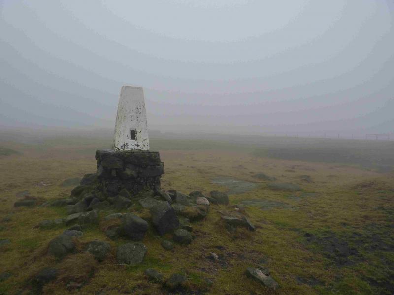
Kinder NW Trig Point, 624 m, SK 077 894.
The rest of the walk is on edges, ridges and open moorland.
OS Outdoor Leisure 1: Dark Peak. OS 110 (1:50 000).
Introduction
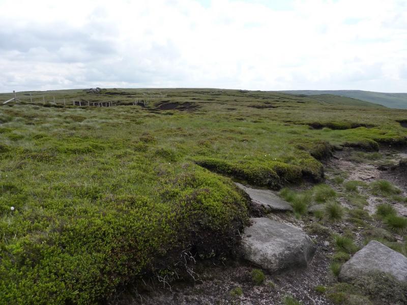
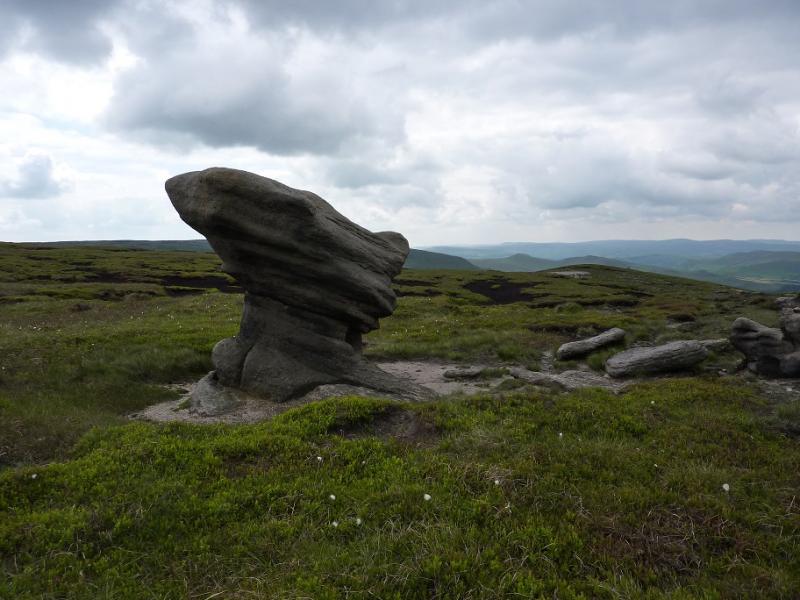
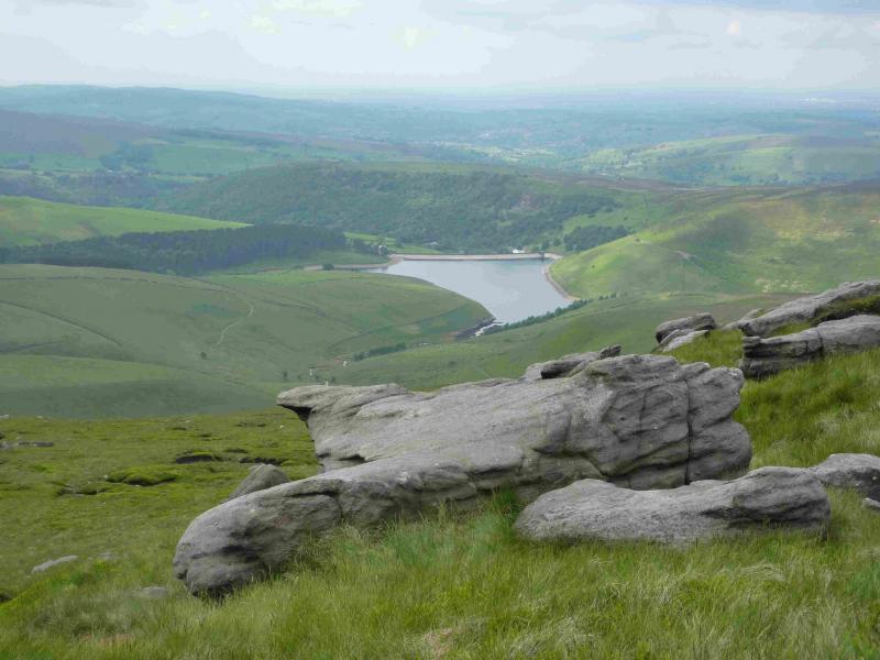
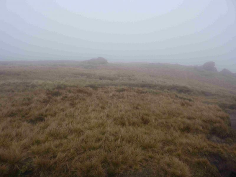
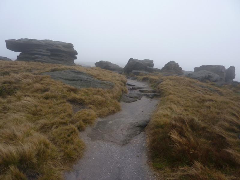
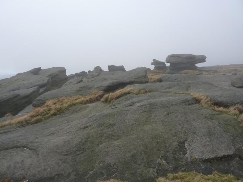
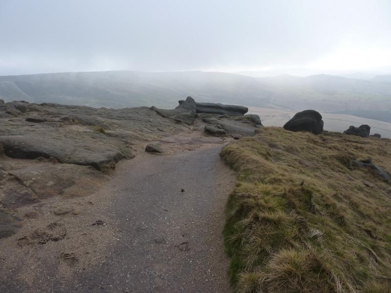
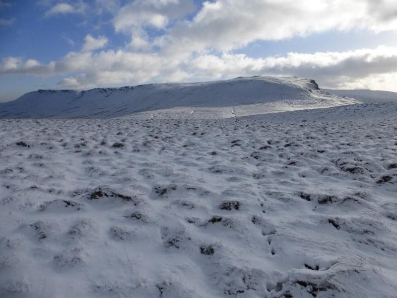
This is mainly a pleasant ridge walk which takes in part of the western edge of Kinder, Kinder NW Trig Point and Kinder Downfall (which often blows back in a strong westerly!). Starting at the top of the Snake Pass minimises the ascent as it is at 512 m. The price for this, however, is that the route has to be reversed. However, with a second car at Bowden Bridge in Hayfield or in Edale a very pleasant through route can be enjoyed. All of the Kinder edges have interesting rock “scupltures” on them and the western edge is no exception. In clear weather, there are excellent views to Higher Shelf Stones and Bleaklow, Kinder Reservoir, South Head and Mount Famine. The interior of the Kinder plateau used to be mainly grass free probably as a result of over grazing (sheep) and the dumping of aviation fuel by some incoming aircraft (Manchester airport) during the 1950's) but restoration is underway and the area around the NW Trig Point is now fairly grassy. This is an ideal walk for a short winter's day but under snow and ice, be very careful on the steep ascent and descent of Kinder.
Route
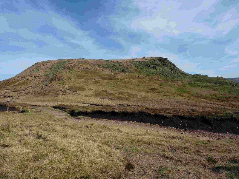
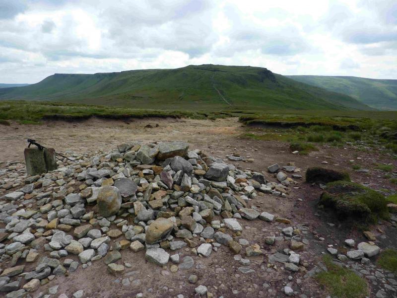
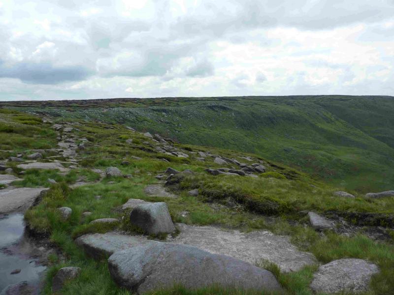
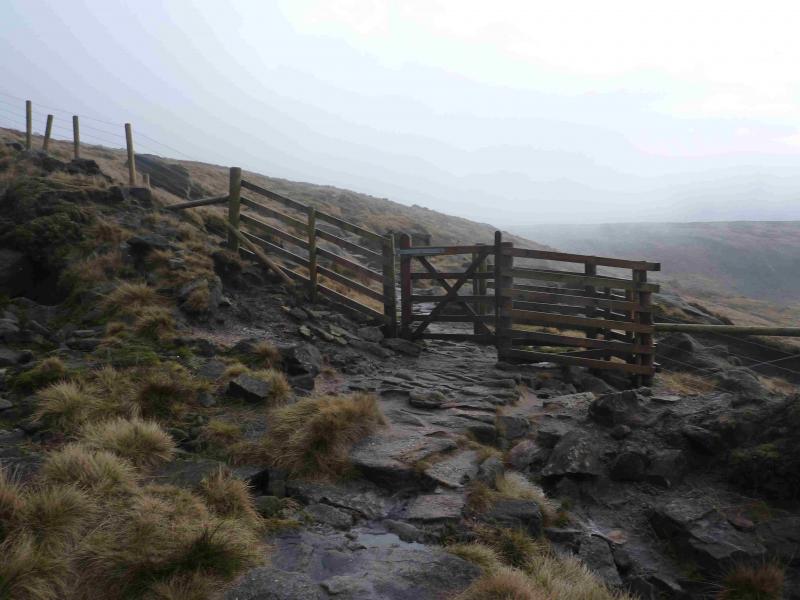
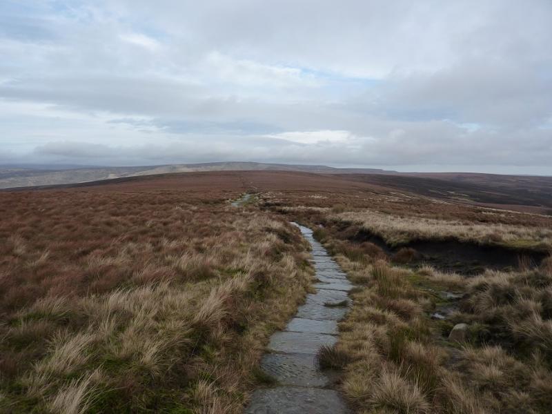
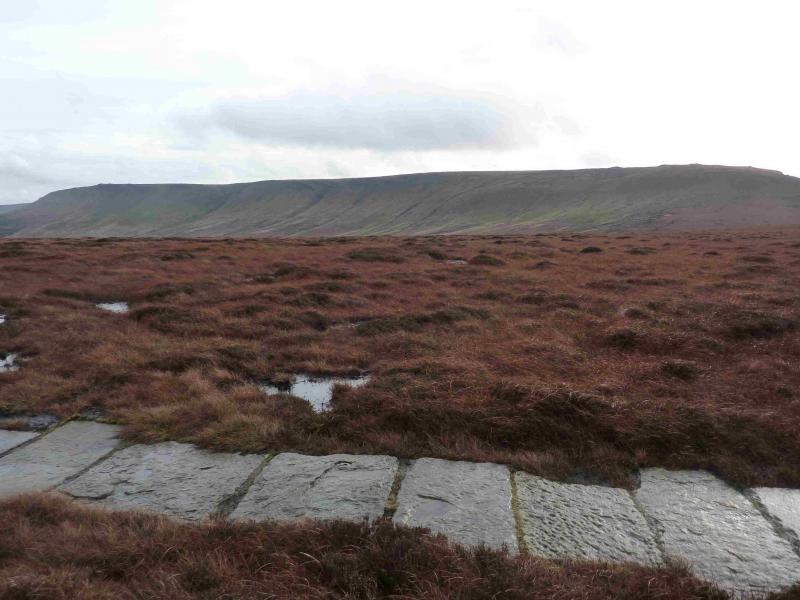
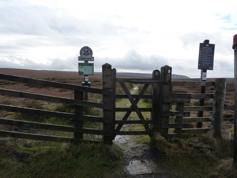
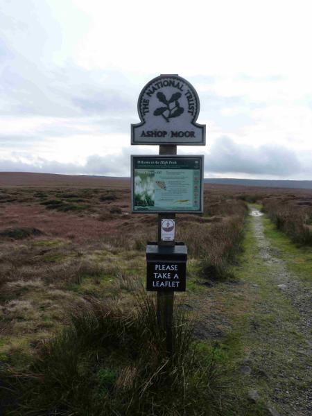
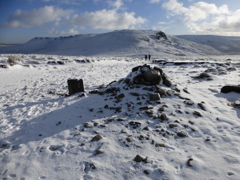
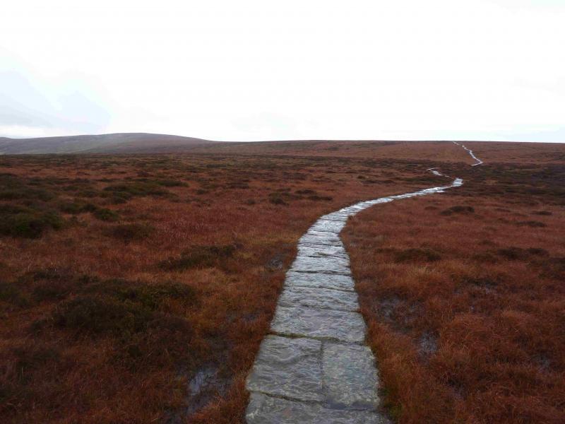
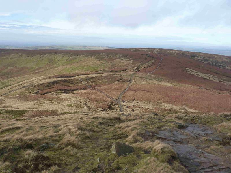
(1) On the S side of the Snake Pass summit is a gate and a sign for Ashop Moor. Follow this path which soon becomes a slabbed path and eases the crossing of the boggy moorland. The path winds around a bit but it very easy to follow. After about 4 km it reaches a large but low cairn which is the summit of Mill Hill, 544 m. There is a crossroads of paths here. Left is the Pennine Way, ahead is a faint path heading towards Leygatehead Moor and right is the descent to the Grouse Inn.
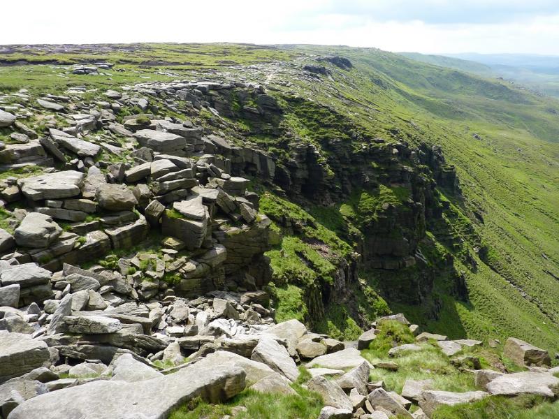
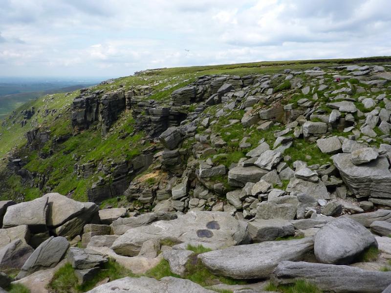
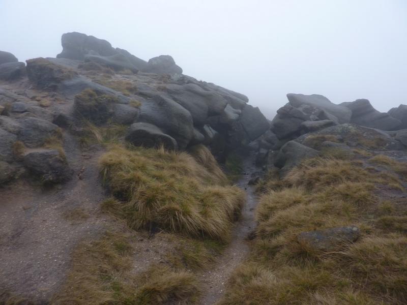
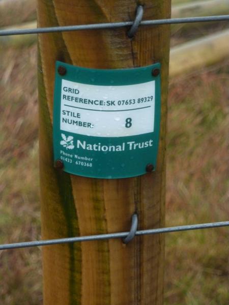
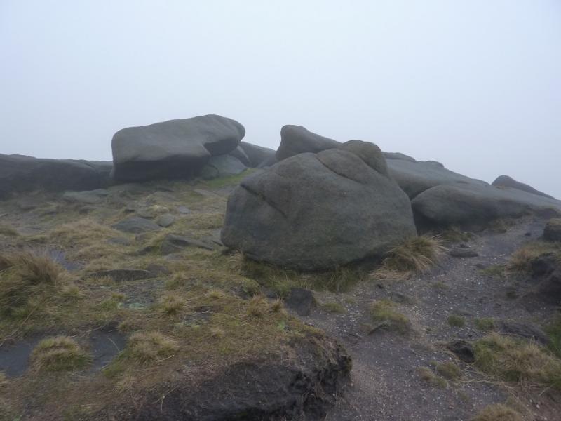
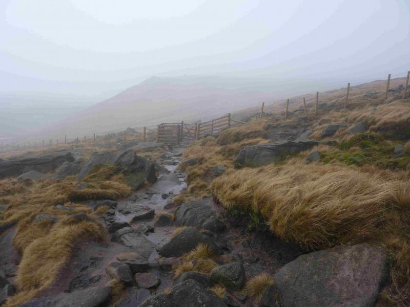
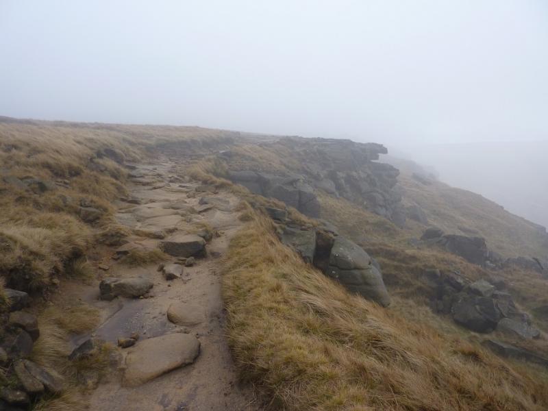
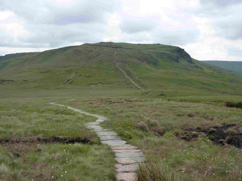
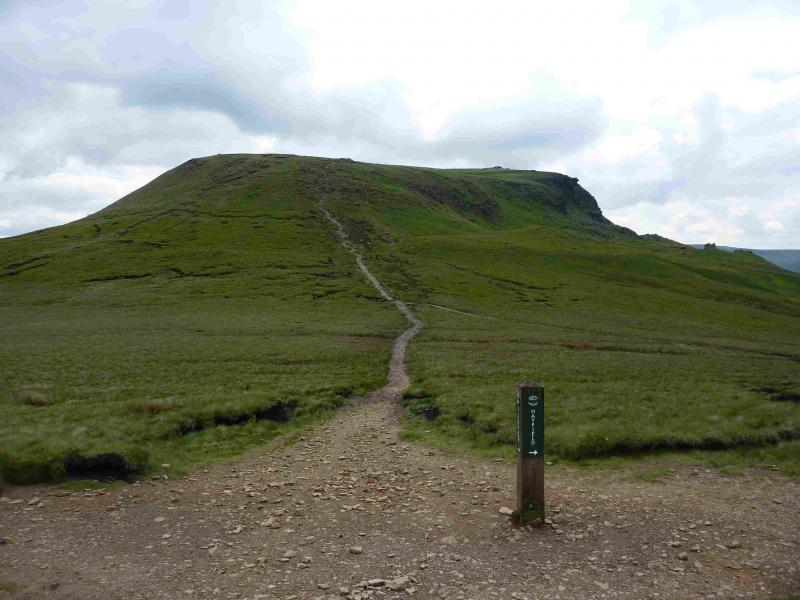
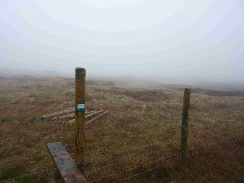
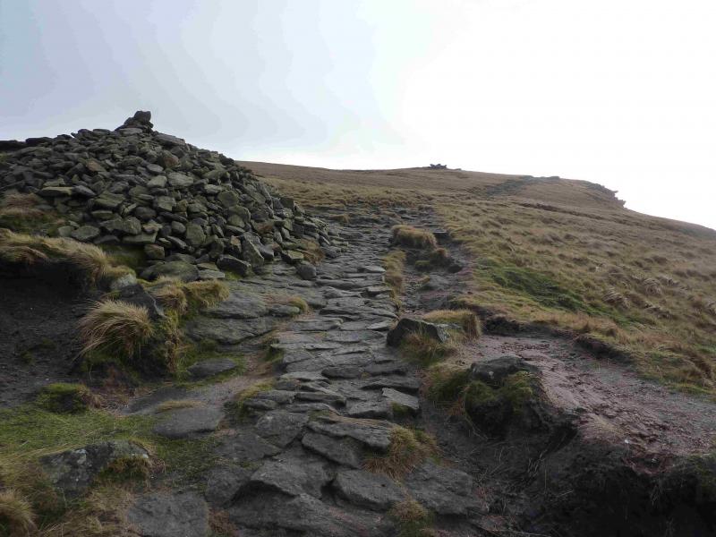
(2) Continue left, SE, on the Pennine Way. In clear weather, the NW corner of Kinder should be very prominent ahead. The now gravel path, soon to become slabbed again, continues to a sign post indicating routes to Hayfield, the Snake Path as well as the Pennine Way. The ascent to the NW corner of Kinder is on a steep cobbled path. The worst of this ascent is over when the first cairn is reached and the obvious path (Pennine Way) can be followed SE along the edge of the Kinder Plateau. If the weather is bad, there are some useful rocks to shelter behind and, on the right of the path, there is a rocky groove which offers the best shelter. Continue on the path, gradually ascending. Kinder NW Trig Point lies off this edge path and is on the Kinder Plateau. Follow the edge path to a “summit” by an outcrop after which the path descends noticeably rather than its gentle undulating so far. This is not long after an outcrop where three of the rocks resemble anvils. A fence, visible much of the way from the NW corner should be seen to the left. In clear weather, the trig point itself may be seen. If not walk to the fence and follow it shadowing the edge. There are a few stiles but one is about 40 m from the trig point which is slightly to the right. This is actually labelled as Stile 8 and has its grid reference on it. Note that Kinder NW Trig Point, 624 m is not the highest point in this area. In thick weather, the fence may not be seen from the path “summit” so, if you are sure you are in the right place (!), walk at 1 o'clock from the “summit” to meet the fence then follow it to Stile 8. If you cannot see the Trig Point – it is white and does not stand out in mist – from Stile 8 then also walk at about 1 o' clock for about 40 m. An even surer way to reach Stile 8, although slightly longer, is to stay on the edge path until a fence crosses it then follow this fence to Stile 8.
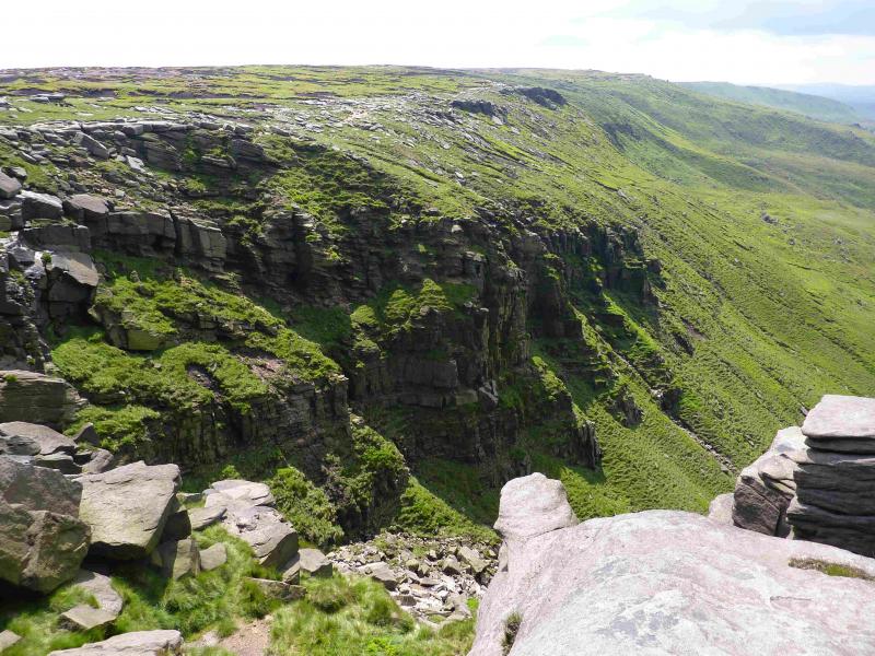
(3) From the trig point return to the stile then follow the fence the other way. It turns at right angles then meets the edge path soon after and this can be followed to the downfall. In about 1 km from where the fence joins the path, the edge path cuts into the plateau to reach Kinder Downfall with cliffs either side.
(4) Retrace back to the top of the Snake Pass, possibly omitting the short detour to the NW Trig Point.
Notes
(a) This walk took place on 10th January, 2014.
Photos - Hover over photo for caption. Click on to enlarge. Click on again to reduce.