Get Lost Mountaineering
You are here: Scotland » 01 South of Oban to Stirling and Fife » Loch Earn to Loch Tay
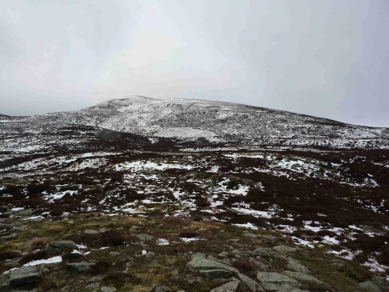
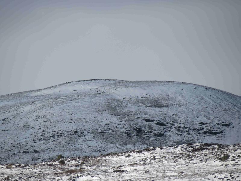
Meall Dearg, Glen Cochill
Meall Dearg from Glen Cochill
Start/Finish
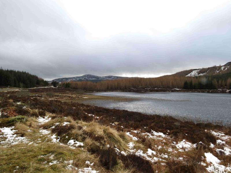
Glen Cochill is on the A826 from Aberfeldy to its junction with the A822 Crieff to Dunkeld road. The best places to park are close to the bridge over the Cochill Burn at NN 908 419. There is a small rough lay by to the S and a large entrance to a forestry plantation, with signs warning of CCTV cameras, to the N. A little further to the N is the new Griffin Wind Farm and further N is Griffin Forest with well signed car parks but these are too far away to be of use for this walk.
Distance/Time
6 km About 3 hours
Peaks
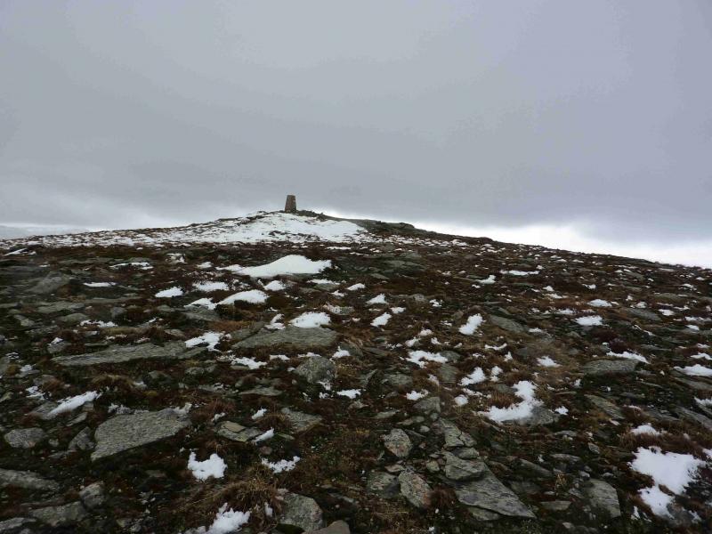
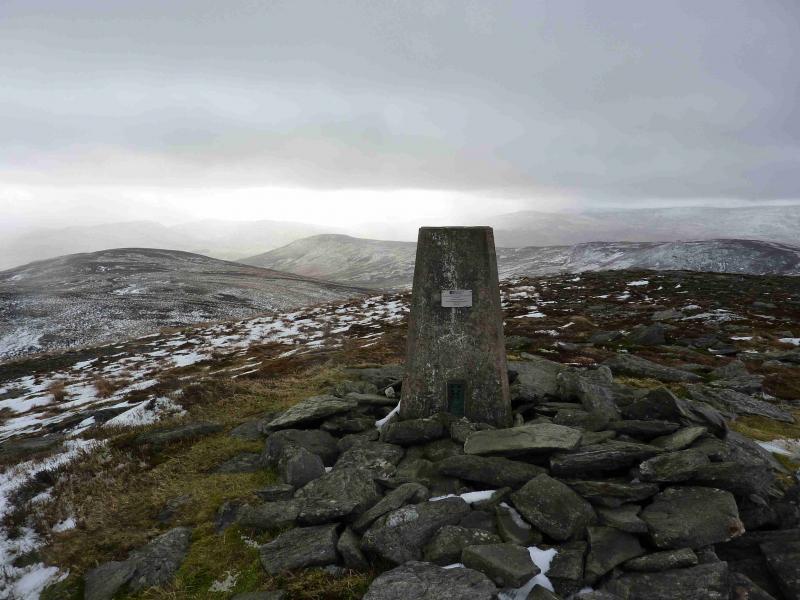
Meall Dearg, 690 m, NN 886 414. OS sheet 52.
Introduction
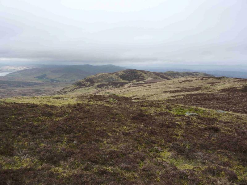
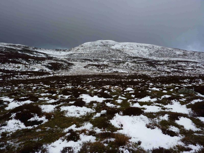
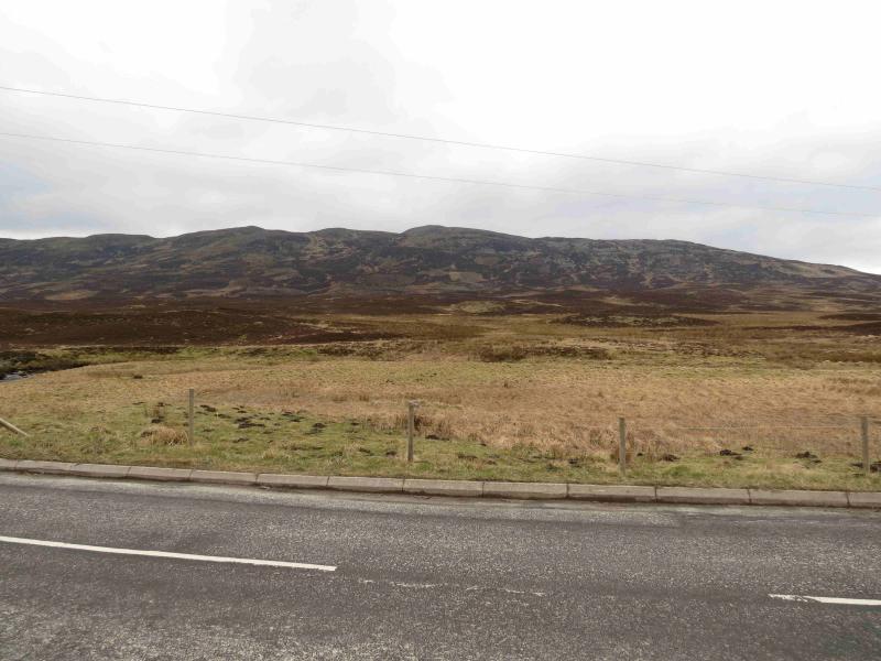
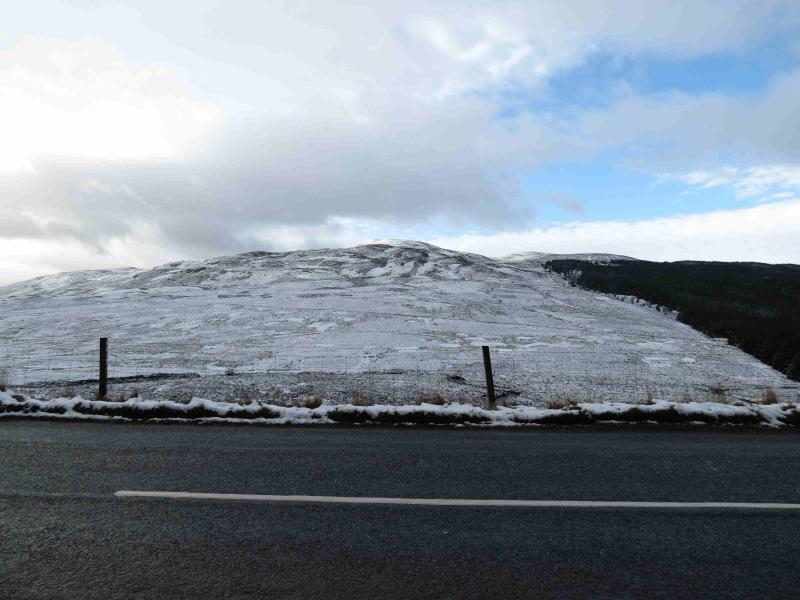
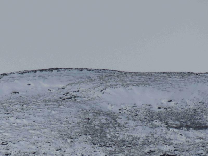
This is a rough moorland hill which is not over exciting in itself but, on clear days, has fine views of the surrounding hills, most notably Farragon Hill to the N and Schiehallion to the NW. There are numerous patches of deep heather on this hill which are best avoided even if that adds a little to the distance. The easiest routes pick out the grassy strips which often contain small burns. The direct route is about WSW but this would go through the worst of the heather. The summit trig point is not quite visible from the starting point although the front of the plateau it stands on is. A fine view of this hill can be had from the A826 road to the N by Loch na Craige.
Route
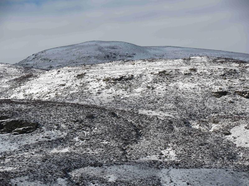
(1) From the bridge, walk S about 50 m to where the fence almost meets the road. There is no stile but most will be able to step over it. Ahead lies a mixture of low heathery mounds with grass in between. The heather is quite short on drier ground than the grass so pick a way roughly WSW until the track shown on the map, General Wade's Military Road, is reached. Follow the track NNW and select any promising grassy strip heading upwards. Some of these strips have faint paths in them which might be hidden by ferns in the summer. The best ground, following grassy strips where possible, seems to drift NW towards the prominent NE ridge. Some crags, shown on the map, are easily avoided. The higher one goes, the easier the heather gets and it is quite short on the higher part of the NE ridge which leads to the summit plateau where a trig point sits on the S side marking the summit of Meall Dearg, 690 m. If one opts for a more direct route then it should be noted that the flattish area to the ENE of the top is quite boggy with evidence of ATV tracks. If one takes the direct route but keeps to the N side of the burn shown on the map then some posts and a fenceboard may be passed.
(2) Return by the same route.
Notes
(a) This walk took place on 31st October, 2008, and 8th March, 2012.
Photos - Hover over photo for caption. Click on to enlarge. Click on again to reduce.