Get Lost Mountaineering
You are here: England » Lake District » 2 Far Eastern Fells
Angletarn Beck, Angletarn & Pikes, Brock Crags & Rest Dodd from Hartsop
Angletarn Beck, Angletarn & Pikes, Brock Crags & Rest Dodd
from Hartsop
Start/Finish
Park at the NW corner of Brothers Water as there is no nearer parking in Hartsop. Brothers Water is at the foot of the Kirkstone Pass on the A592 which runs from Windermere to Penrith.
Distance/Time
11 km About 4 – 5 hours
Peaks
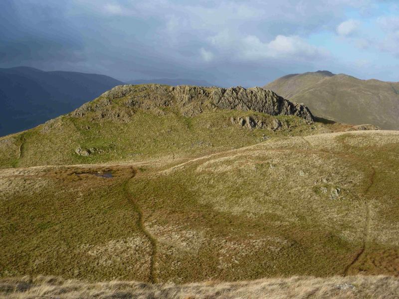
Angletarn Pikes, 567m, NY 413 148.
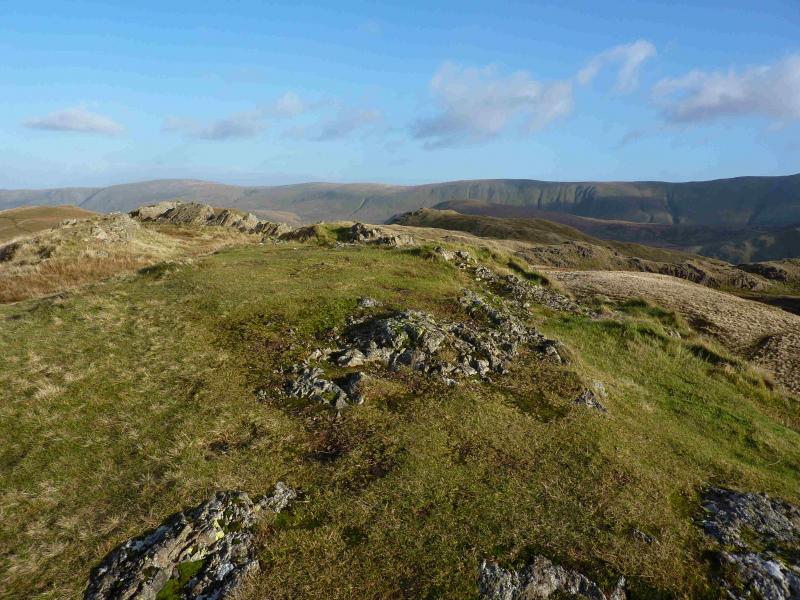
Brock Crags, 561 m, NY 417 136.
Rest Dodd, 696 m, NY 431 137.
OS 1: 50 000, sheet 90. OS 1: 25 000 Outdoor Leisure 5, English Lake District NE Area.
Introduction
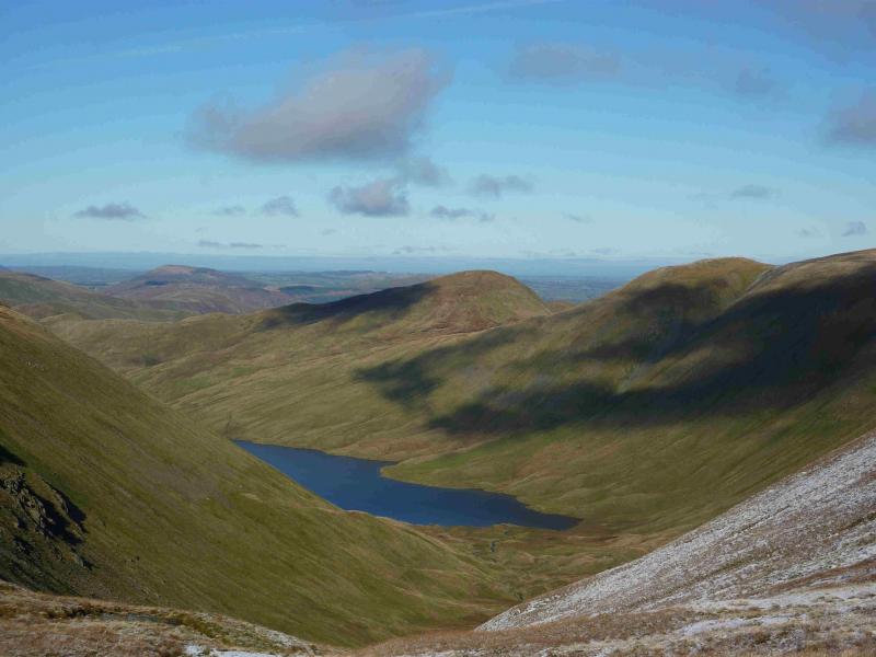
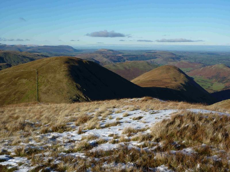
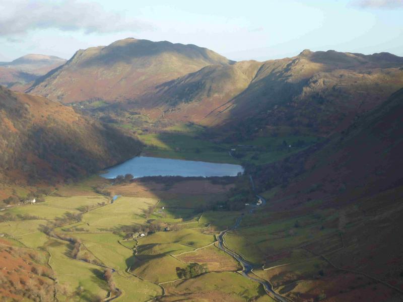
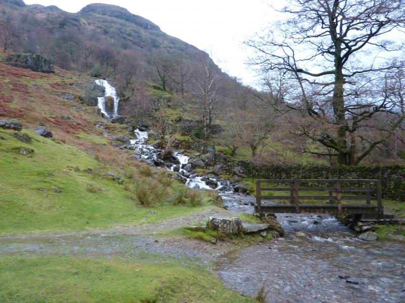
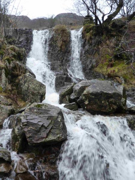
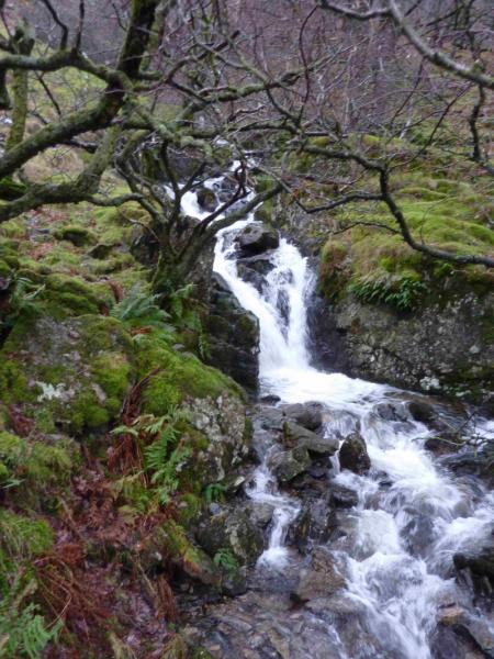
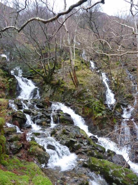
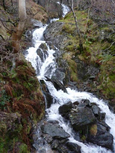
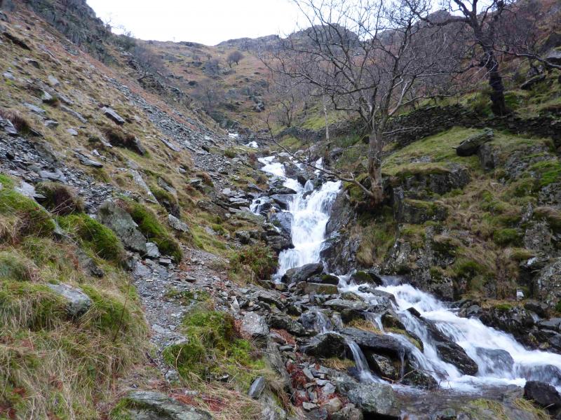
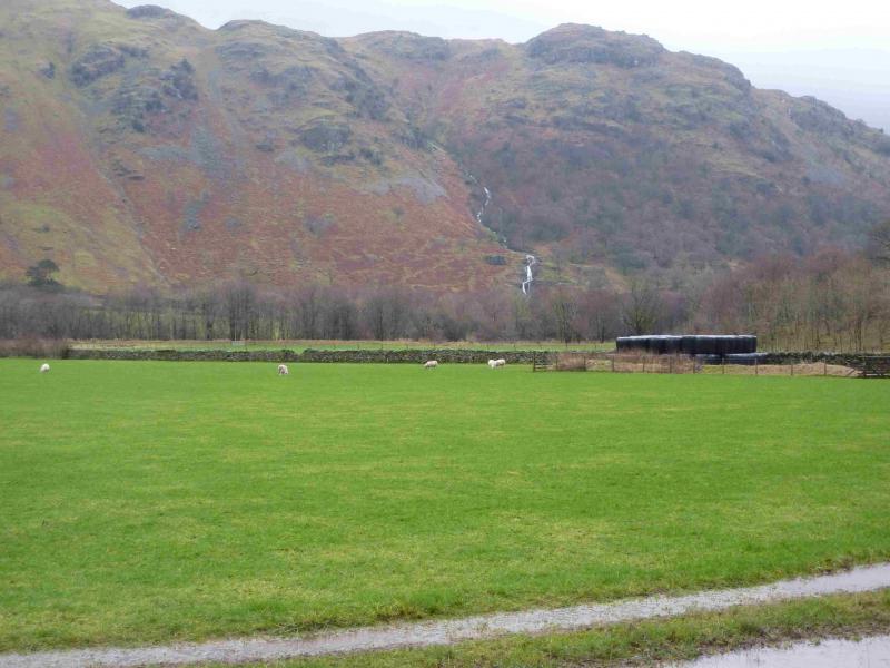
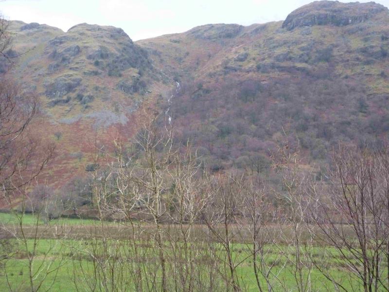
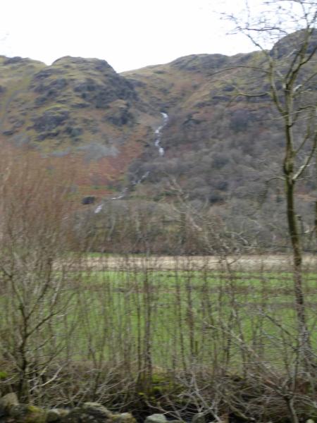
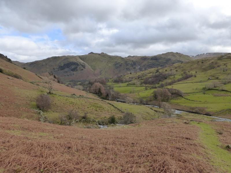
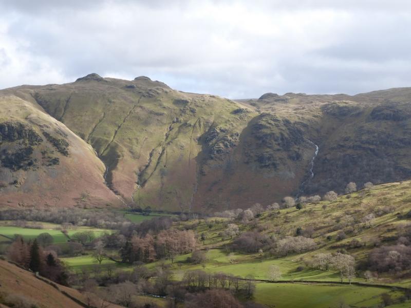
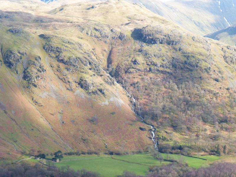
This is a lovely walk which makes a reasonable circuit from the foot of Angletarn Beck which is a succession of waterfalls in its lower reaches. There are reasonable and fairly distinctive paths most of the way. However, the ascent of Angletarn Beck is quite steep and rocky in places although it is not a scramble. In wet weather or under snow, the rocky terrain may be very slippery. On a clear day, the views are excellent especially to nearby fells such as The Nab and the High Street range. Across the Kirkstone Pass road, one can usually enjoy excellent views of Hartsop Above How, Red Screes, Dove Crag, Hart Crag, Fairfield, St. Sunday Crag, Dollywaggon Pike, Nethermost Pike, Helvellyn, Catstye Cam and many more. The length of this walk is ideal for a short winter's day but may only be for the experienced if winter conditions prevail.
Route
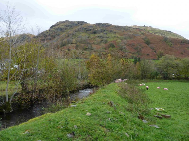
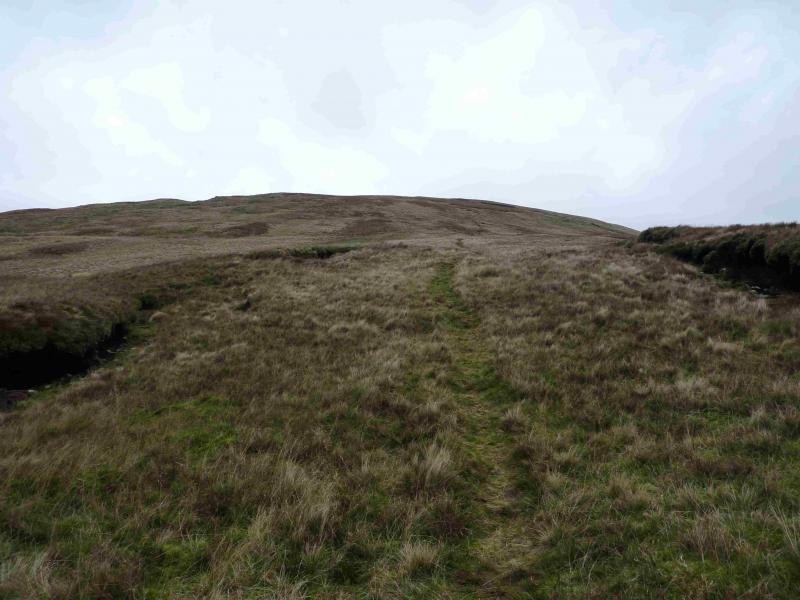
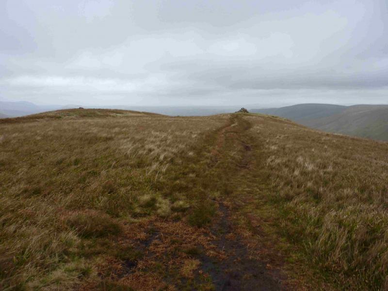
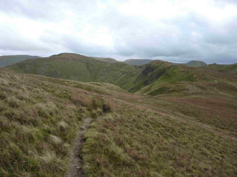
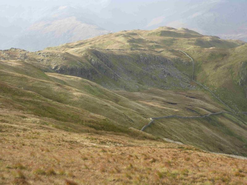
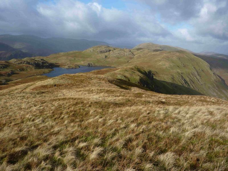
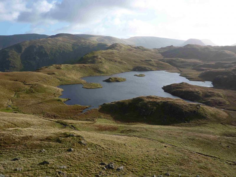
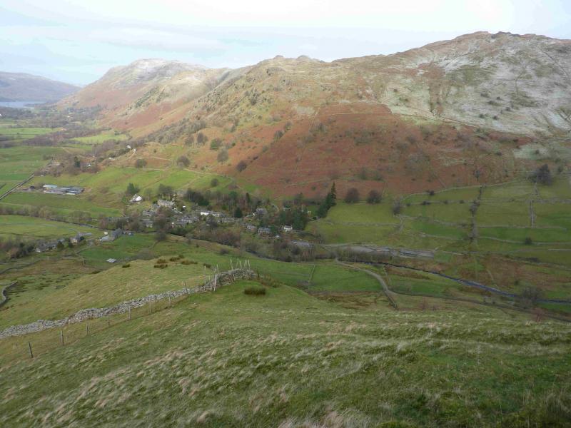
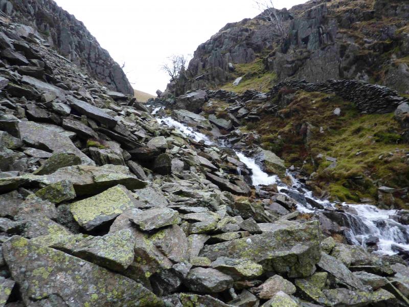
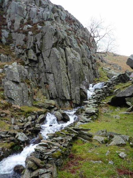
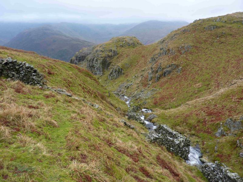
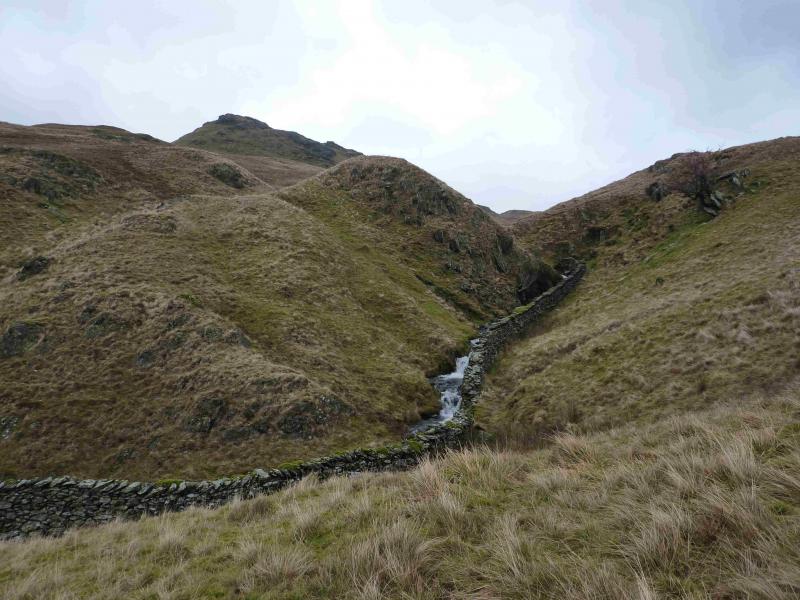
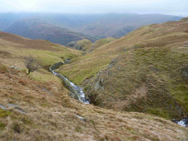
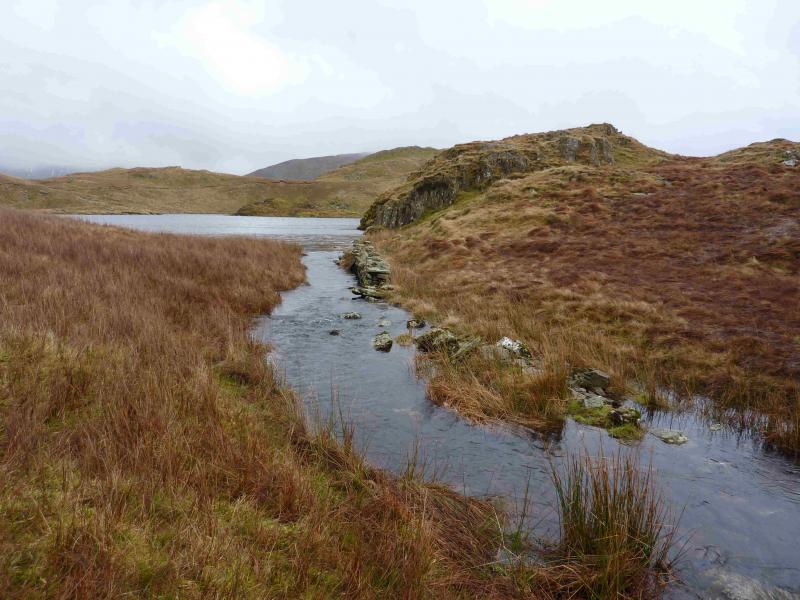
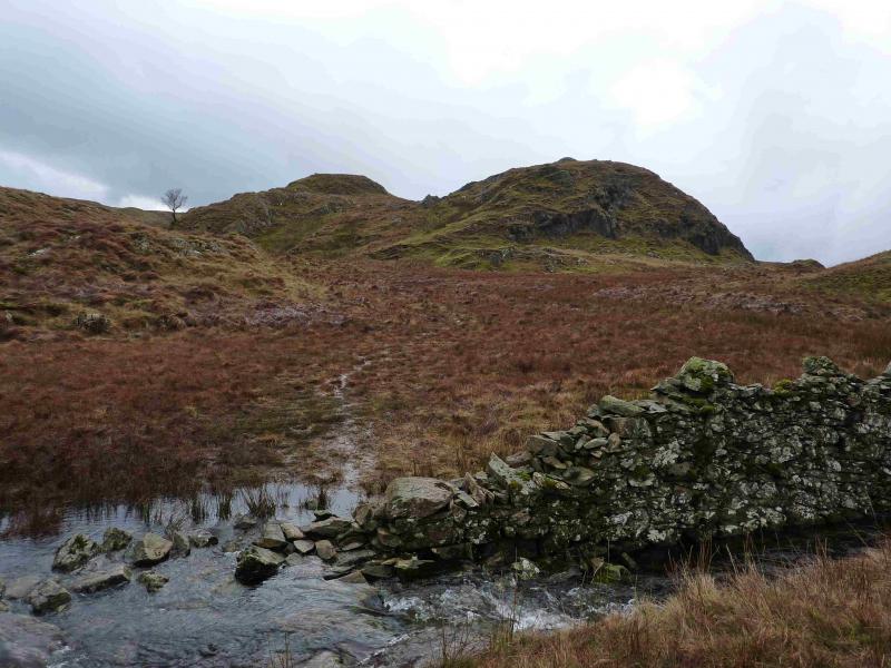
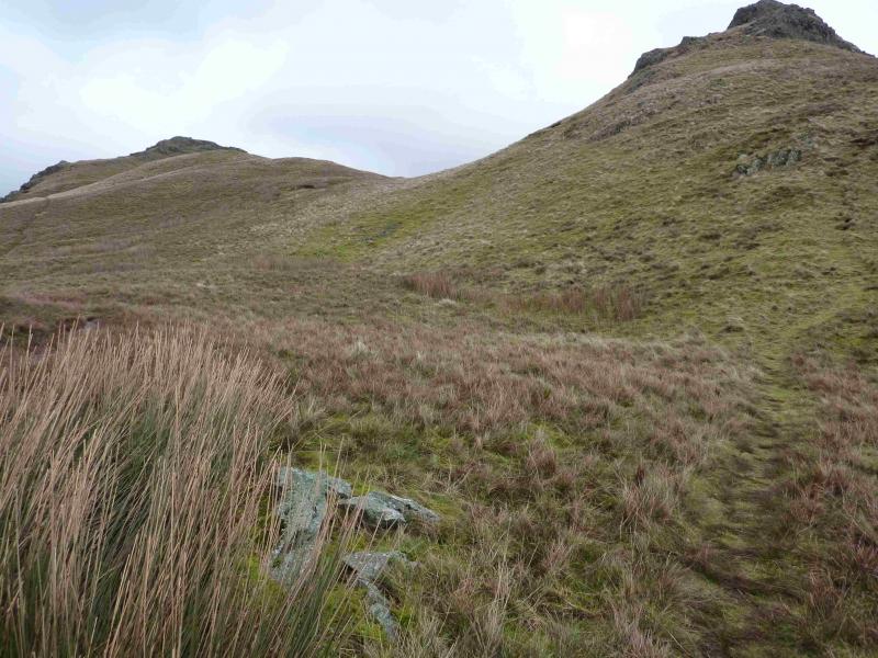
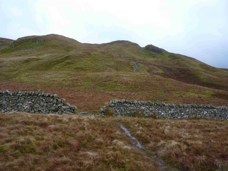
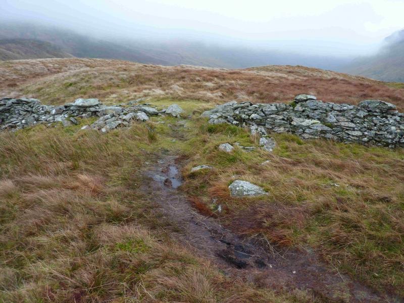
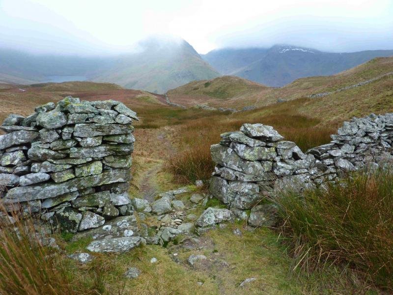
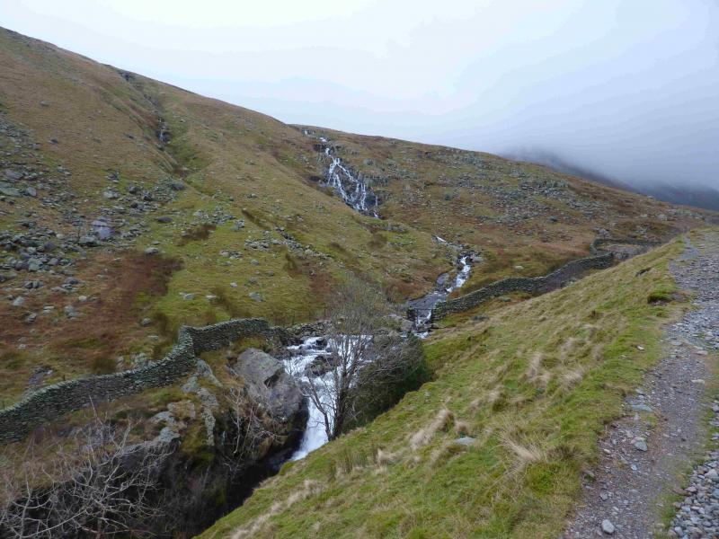
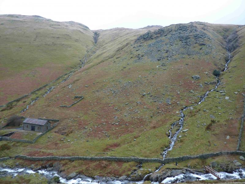
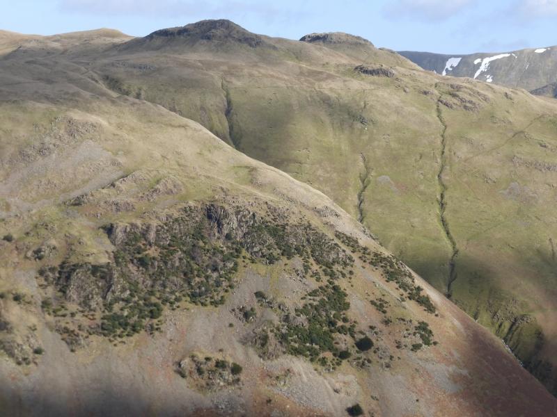
(1) From the NW corner of Brothers Water car park, walk SE towards Kirkstone Pass. At the stone bus shelter, take the minor road for Hartsop village but turn left on to a more minor road after the first building. The minor road leads past Hartsop Fold (holiday chalets) after which it becomes a stony track. Follow this road/track for just under 1 km, from Hartsop, to where it goes through a gate just before Angletarn Beck. There is a small footbridge over the beck if it is in spate. Cross the beck and take the path up its N side, keeping the beck on your right. Notice a gate on the S side of the beck about 40 m up. This is used on the return. It is quite common for outdoor groups to practice ghyll scrambling here and one can often hear the voices of excited children as Angletarn Beck is approached along the track. Follow the path up the N side of the beck which is narrow but fairly distinctive. Care is needed in places where the bank of the beck is steep. A stone wall is on the S side most of the way up. When a path is seen on the S side – it is actually behind the wall but can be seen through the odd gap where the wall has fallen down – one can cross over the beck and follow the path up the S side. Crossing the beck may be a problem in some places if it is in spate so be careful not to be swept over a waterfall and choose your crossing place carefully. A better alternative though is to stay on the N side of the beck for as long as possible. The path gets fainter higher up and one has to negotiate short sections of steep scree made up of large rocks. Eventually, progress on the N side is blocked by a cliff so one may have to cross the beck about here. However, if the beck is not in spate, one may be able to pass the cliff in the stream bed then continue easily. Which ever side of the beck you are now on, continue up easily, on gentle grassy ground, to where the beck leaves Angle Tarn. Just before the tarn a rough grassy track crosses the beck. Cross over here and follow the grassy, often wet, path uphill (ignoring the level path which soon goes off to the right) to reach the obvious main path. Cross this and continue up to reach another main path. Turn left and follow it W then NNW. Look for a grassy path forking off to the right. There are a few stones here but they are partly hidden by a clump of grass. Note this point as it will be where you return to the main path. Continue ahead, on the main path, and take the next grassy path forking off to the right and pick a way to the summit of the higher of the two Angletarn Pikes, 567m. There is no cairn. There are severla paths between the two Angletarn Pikes which are easily followed in clear weather. In mist head roughly SSE across undulating grassy ground then ascend to the lower top where there is a cairn.
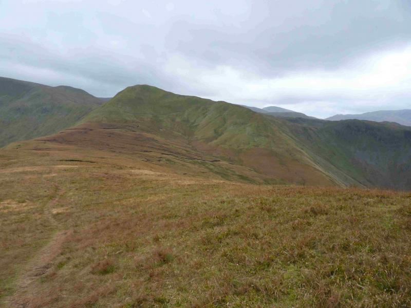
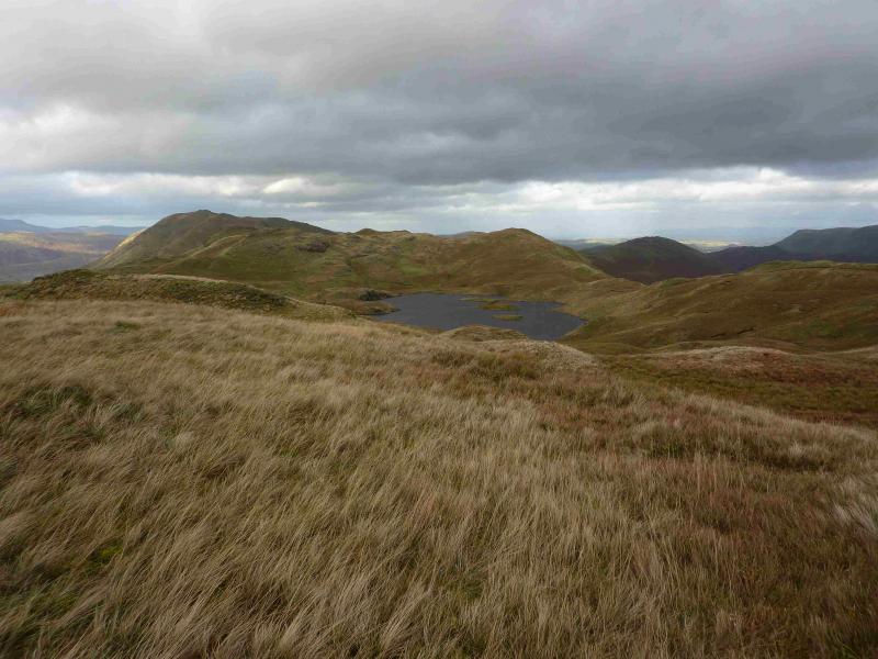
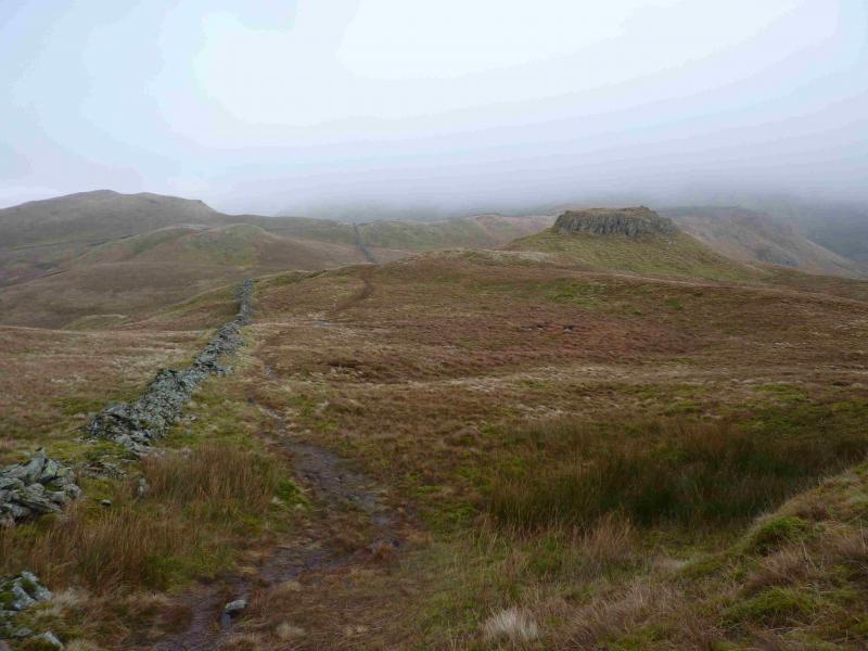
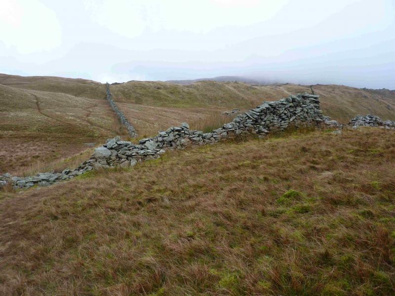
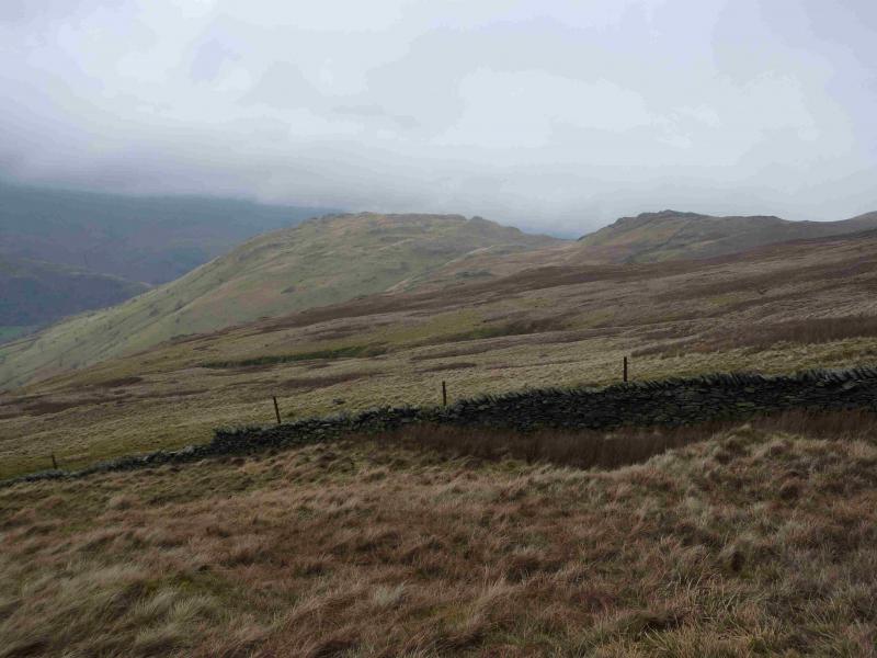
(2) Descend SW down the summit ridge to pick up the faint grassy path which leads to the partly hidden stones on the main path. Turn left and retrace down to the lower main path then down again to the crossing point over Angletarn Beck. Cross over and follow the path, which can be quite sodden after heavy rain, on the W side of Angle Tarn then between the the two tops (easily visited if one wishes) near Cat Crag before a short ascent leads to the large cairn which marks the summit of Brock Crags, 561 m, NY 417 136.
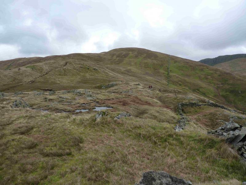
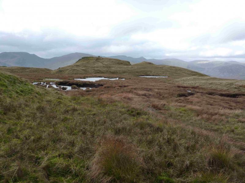
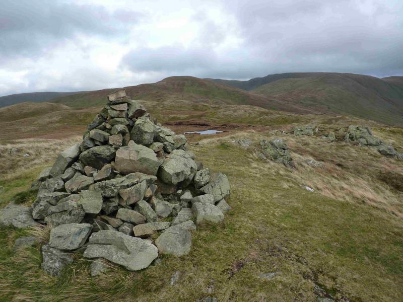
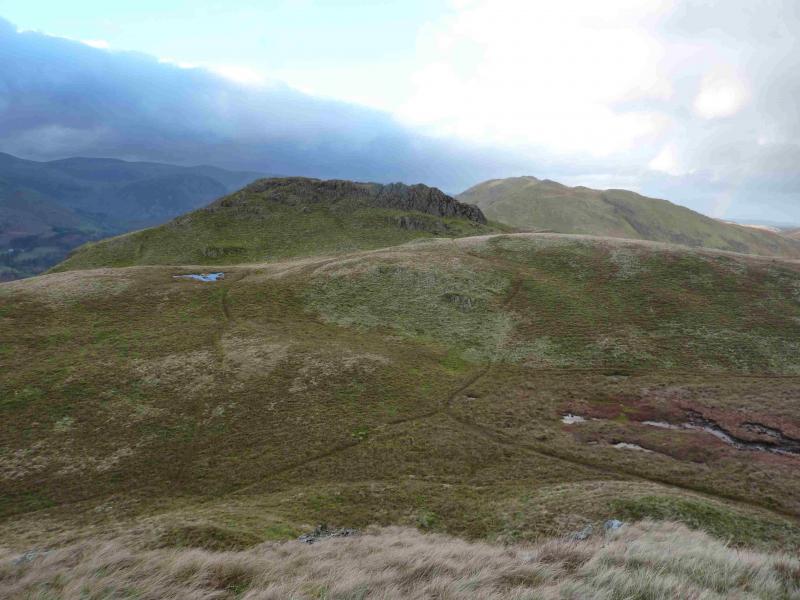
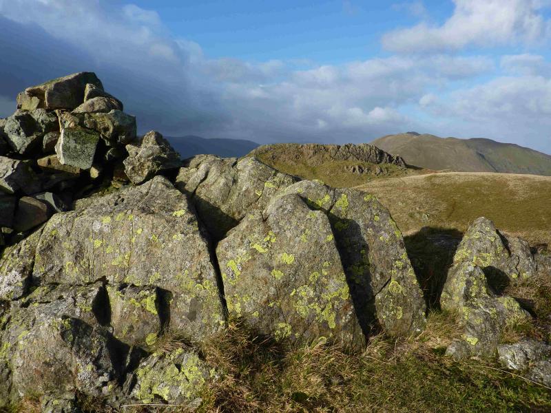
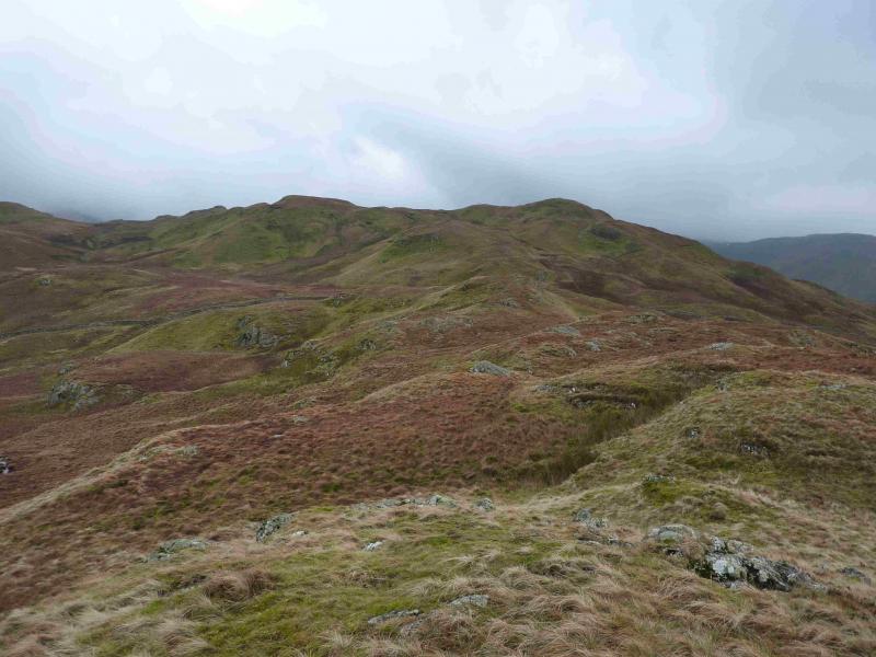
(3) Turn left, roughly ENE, on a distinctive grassy path and descend into a wet area where the path splits. Take either branch as it recombines soon after. When a wall is seen, follow it, still on the path, and soon join the main coast to coast path which has followed the other, E, side of Angle Tarn. Be careful not to follow this path too far as it does not go over Rest Dodd but passes below on its S flank so, soon after, drift over to the N side of this undulating ridge and locate the grassy path which ascends the W ridge of Rest Dodd. There are two medium cairns on the summit area. The second cairn marks the summit of Rest Dodd, 696 m.
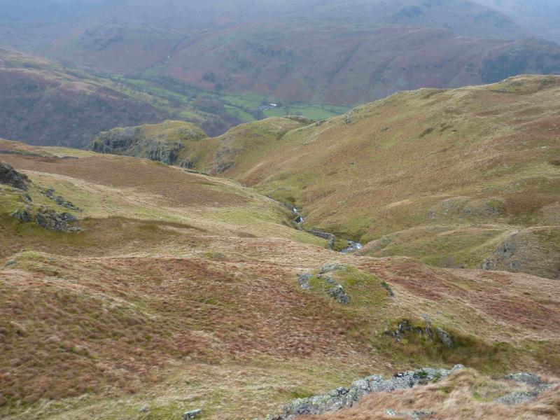
(4) Turn right and follow a grassy path roughly SE. This passes through a broken wall then descends to join the main Coast to Coast path. Turn left and cross a stream almost immediately. Just after climbing out of the stream gully, a grassy path goes off right and passes through a wall soon after – the same wall that could be followed if one went a little further on the path. Follow the path down towards Hayeswater Gill at a ford. Cross over and join the obvious track from Hayeswater and follow it down to Hartsop and the start. If Hayeswater Gill is in spate, the ford may be too deep for some in which case aim for the bridge at the outflow of Hayeswater and join the track there.
Notes
(a) This walk took place on 16th January, 2014.
Photos - Hover over photo for caption. Click on to enlarge. Click on again to reduce.