Get Lost Mountaineering
You are here: England » Lake District » 2 Far Eastern Fells
Steel Knotts, Wether Hill, Loadpot Hill, Bonscale Pike & Arthur's Pike from Howtown
Steel Knotts, Wether Hill, Loadpot Hill, Bonscale Pike & Arthur's Pike from Howtown
Start/Finish
Howtown. From Pooley Bridge, at the N end of Ullswater, take the road S signposted Howtown & Martindale. In places, this road is very narrow with passing places so you may need to reverse if you meet another car! Parking is a nightmare with very, very few places available. There is space for one very carefully parked car between the two gates at the public launch point before the pier. Please do not park where you may irritate local residents. It may be necessary to park on the twisting road up to Martindale Hause and church.
Distance/Time
15 km About 5 – 6 hours
Peaks
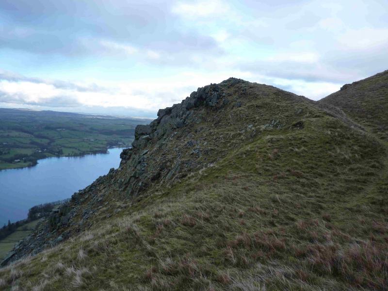
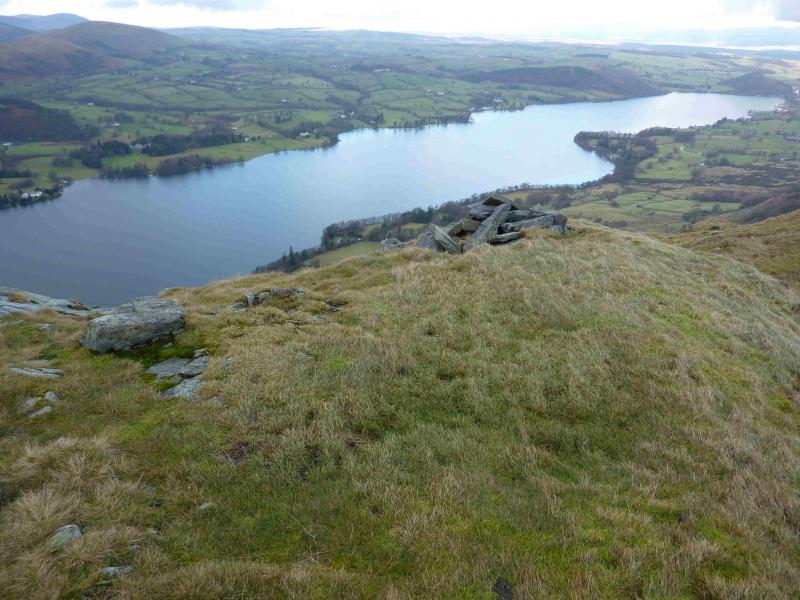
Steel Knotts (Pikeawassa), 432 m, NY 440 181.
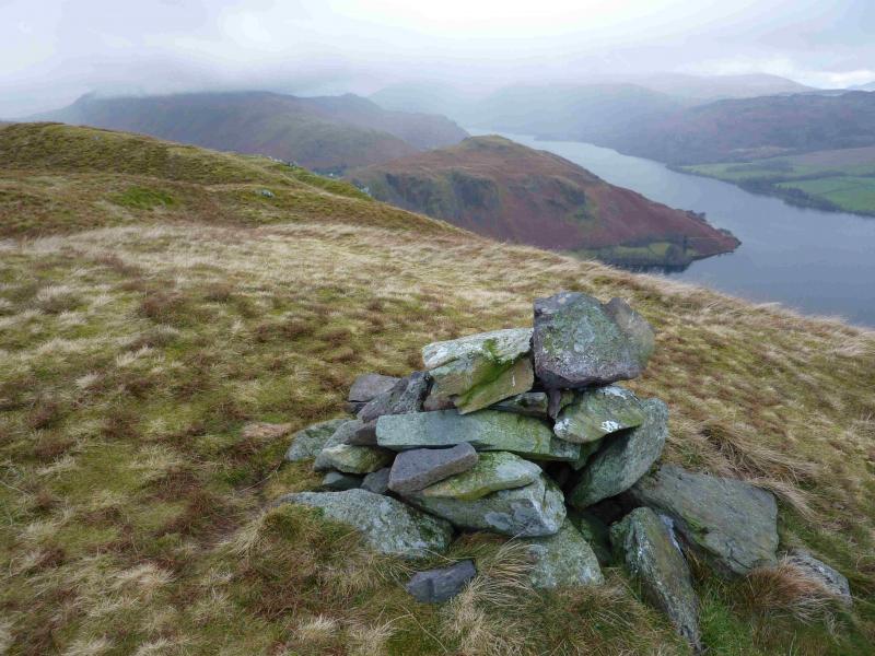
Wether Hill, 670 m, NY 456 167.
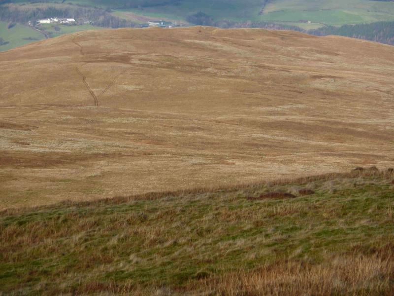
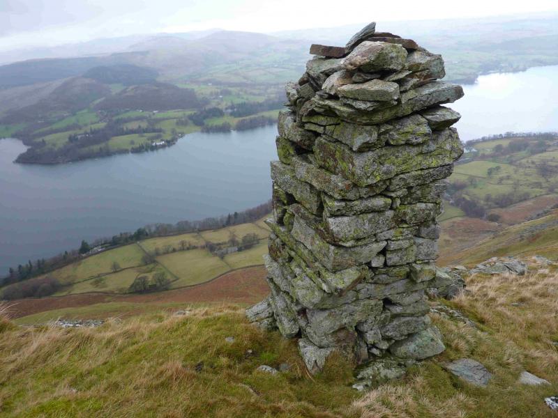
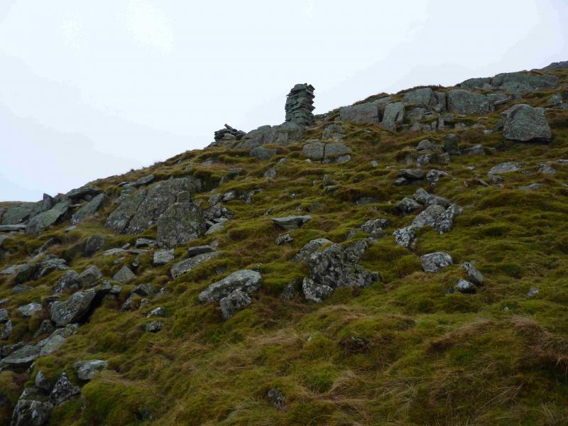
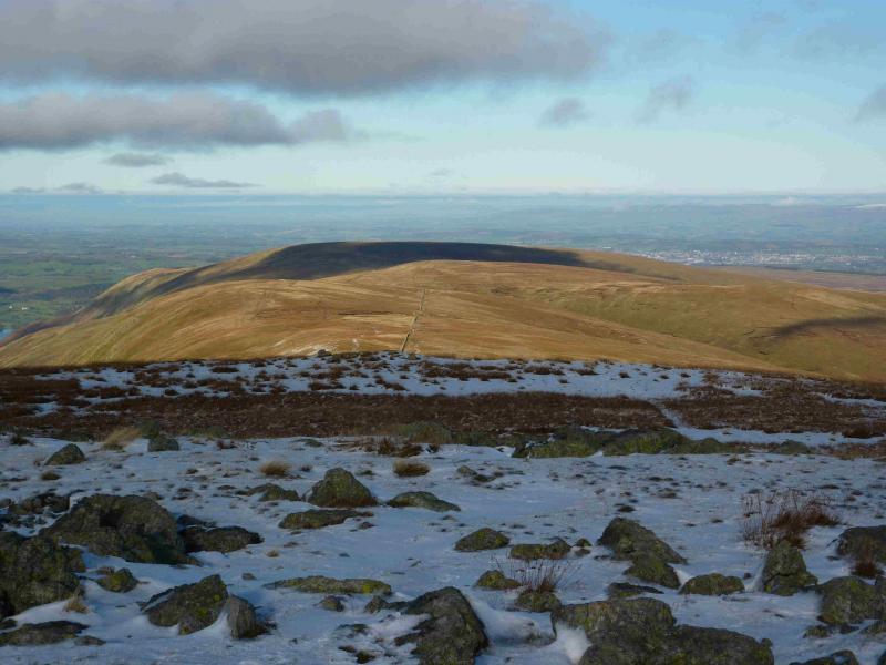
Loadpot Hill, 671 m, 457 181.
Bonscale Pike, 524 m, NY 453 201.
Arthur's Pike, 532 m, NY 461 207.
OS 1 : 50 000 , sheet 90. OS 1 : 25 000 Outdoor Leisure 5, English Lake District NE Area.
Introduction
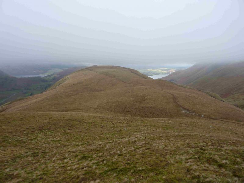
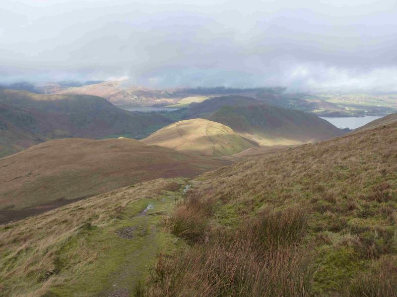
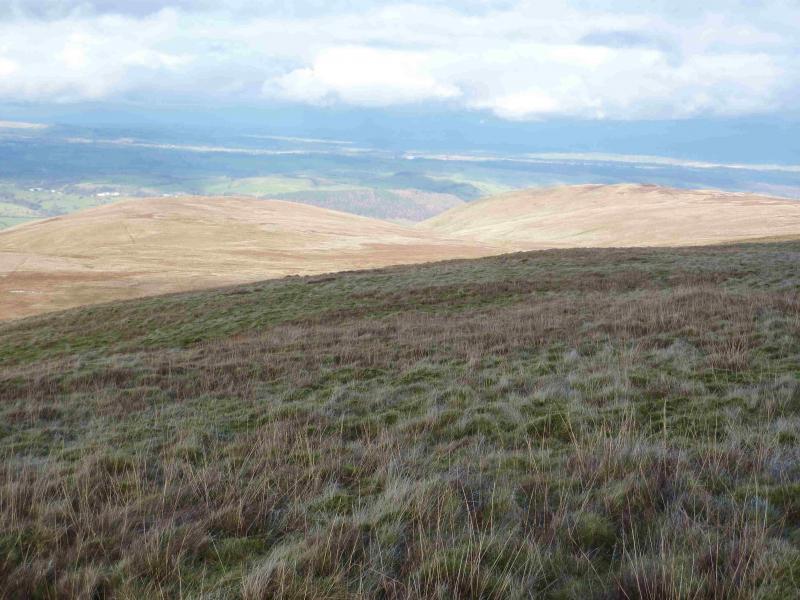
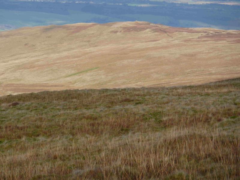
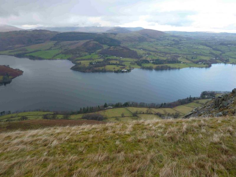
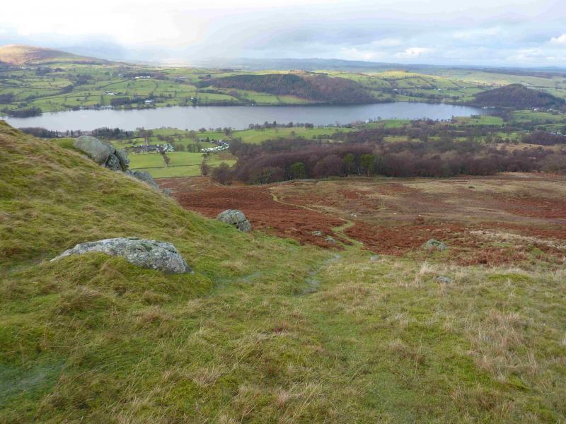
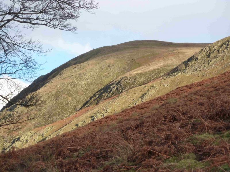
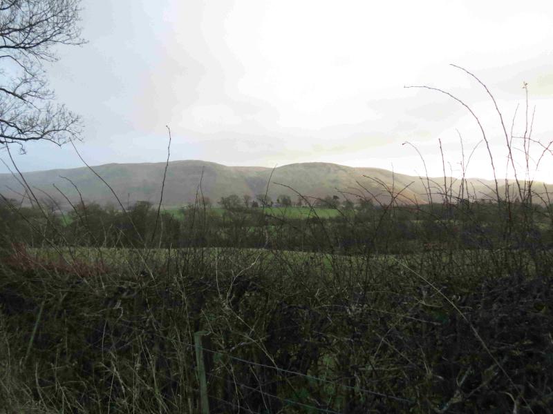
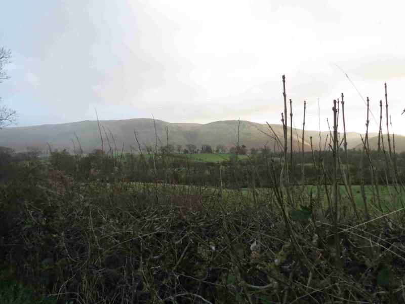
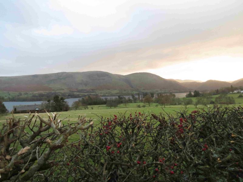
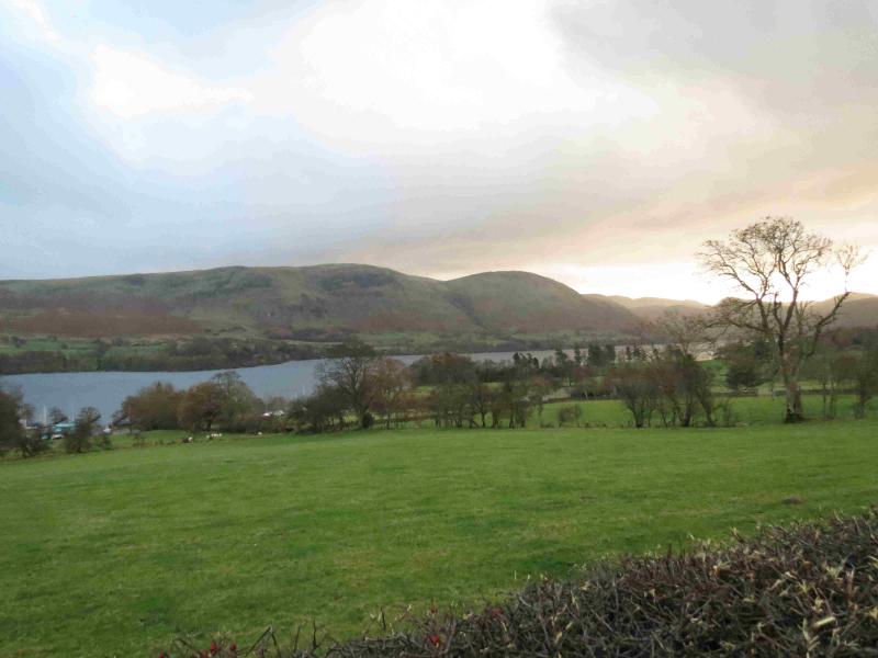
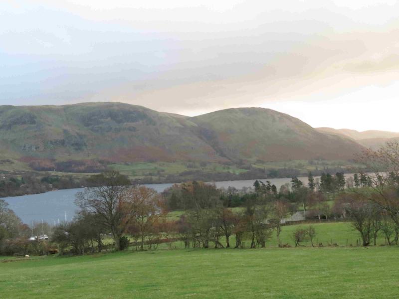
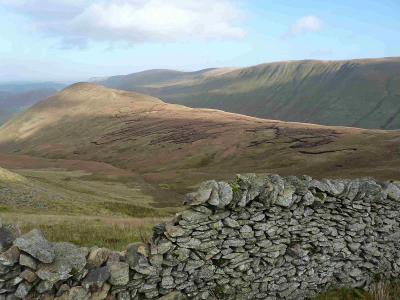
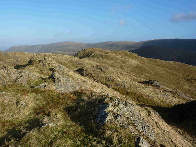
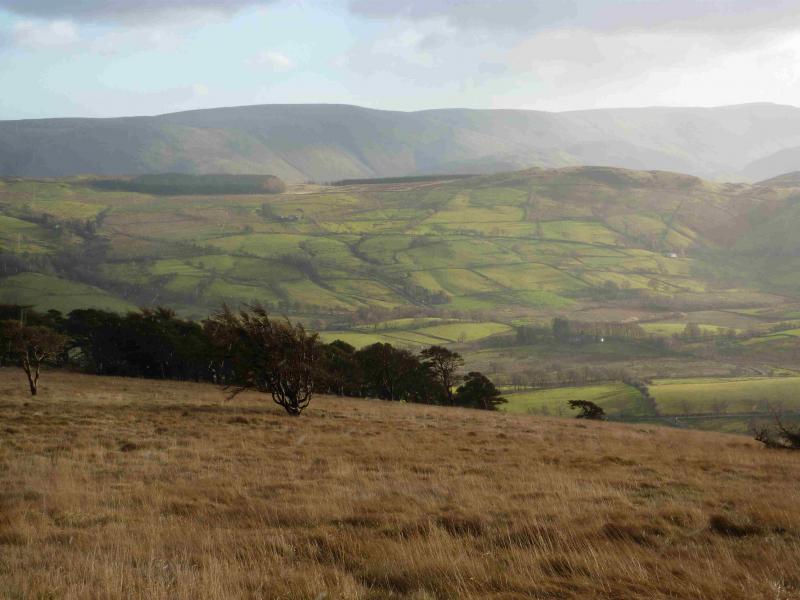
This is a pleasant circuit over four grassy tops with the crest of Steel Knotts being quite rocky before the northern end of the High Street range is joined to the south of Wether Hill which is followed over Loadpot Hill then on to Bonscale Pike and Arthur's Pike which are on opposite sides of Swarthbeck Gill. Bonscale Pike is on the S side of the gill with Arthur's Pike on the N side. Neither of these two tops seem as distinctive as one would expect a pike to be. Both have cairns with Arthur's Pike having two cairned tops although the western one seems to be the higher. Being almost directly above Ullswater, there are excellent views on a clear day. The Nab, Rest Dodd, Beda Fell, Place Fell and Hallin Fell are prominent to the S. Across Ullswater, most of the Helvellyn range will be seen on a clear day as well as Gowbarrow and Great and Little Mell Fells. The Cross Fell range (Pennines N of the A 66) should also be seen on a clear day.
Route
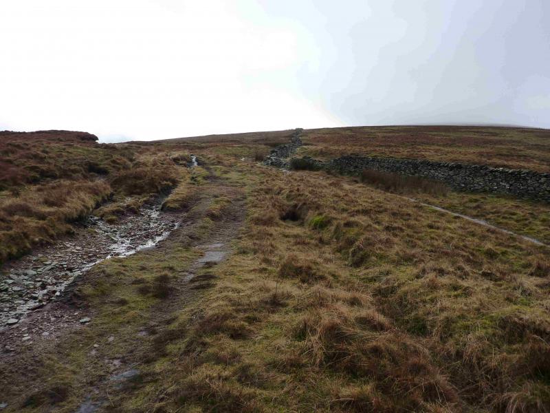
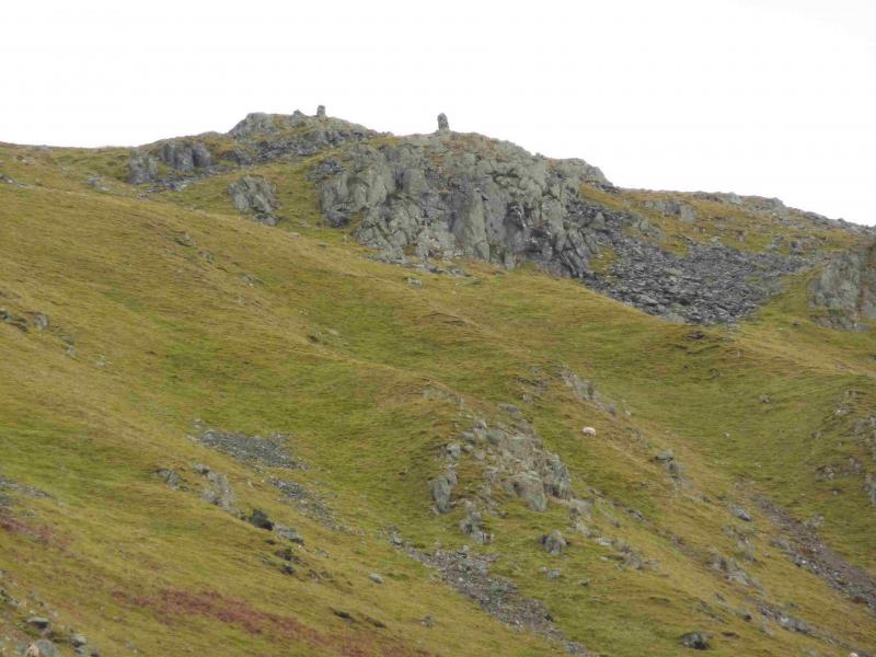
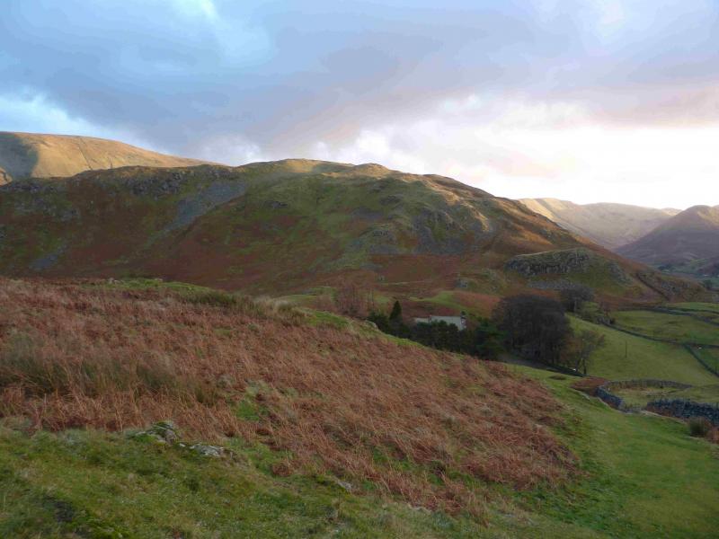
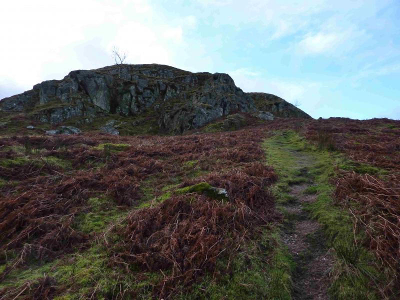
(1) Take the minor road into Howtown which soon passes the Howtown Hotel. Continue to the end of the tarmac road where there is a sign for Martindale Hause. Take this path, which follows a wall, until a distinctive path branches off left and starts to climb Steel End. Follow the path up on to the crest where there is a small cairn. Continue along the crest to a prominent outcrop on a high point – there is no cairn – which marks the summit of Steel Knotts (Pikeawassa), 432 m.
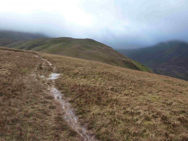
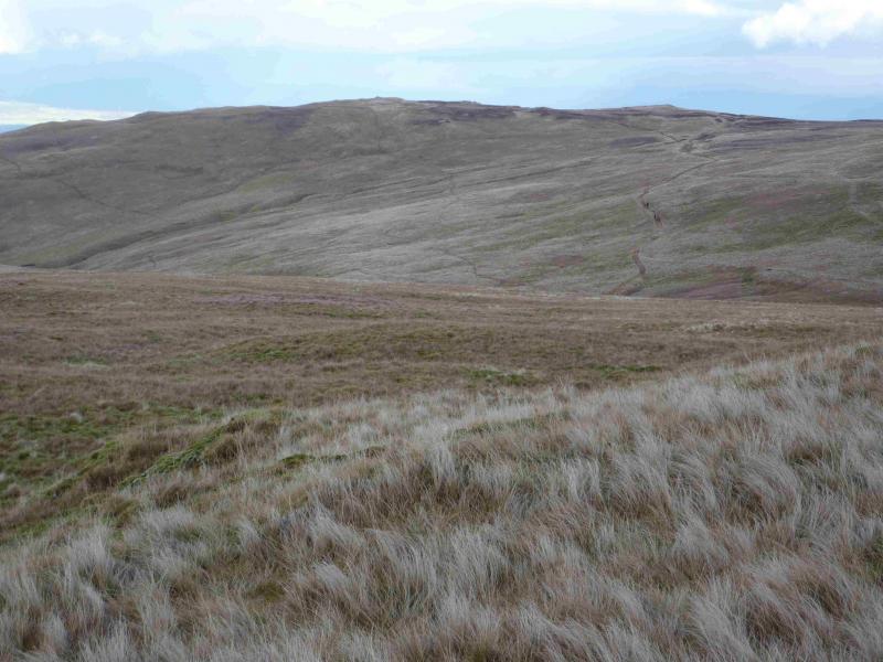
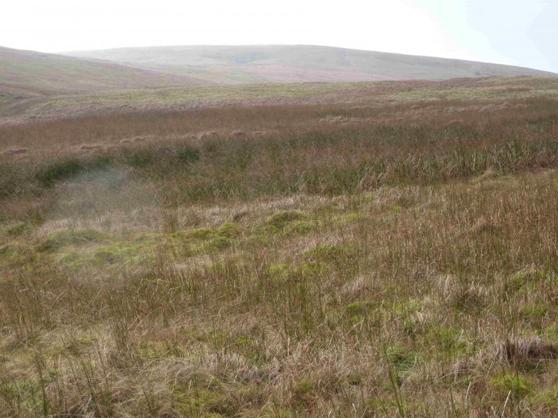
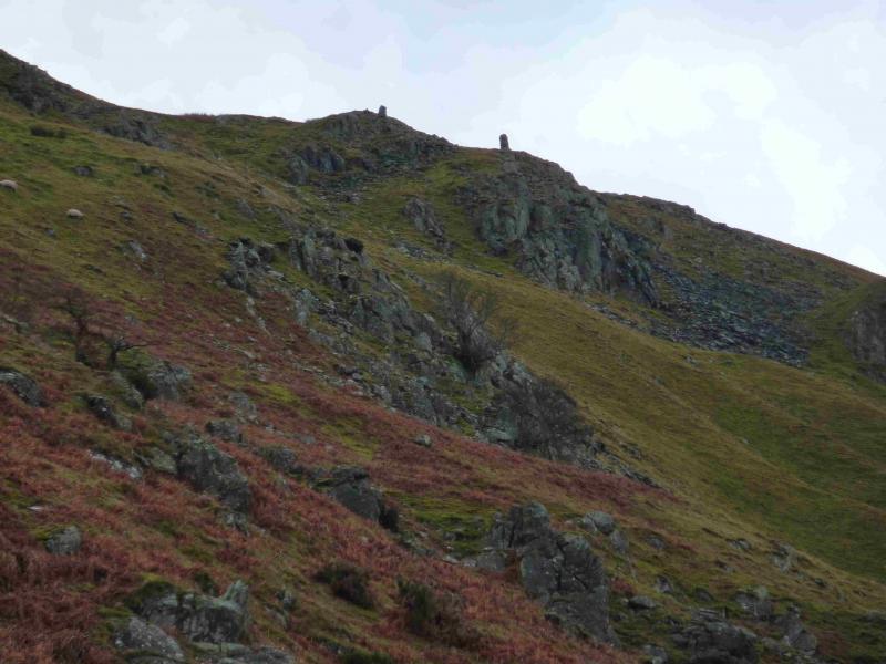
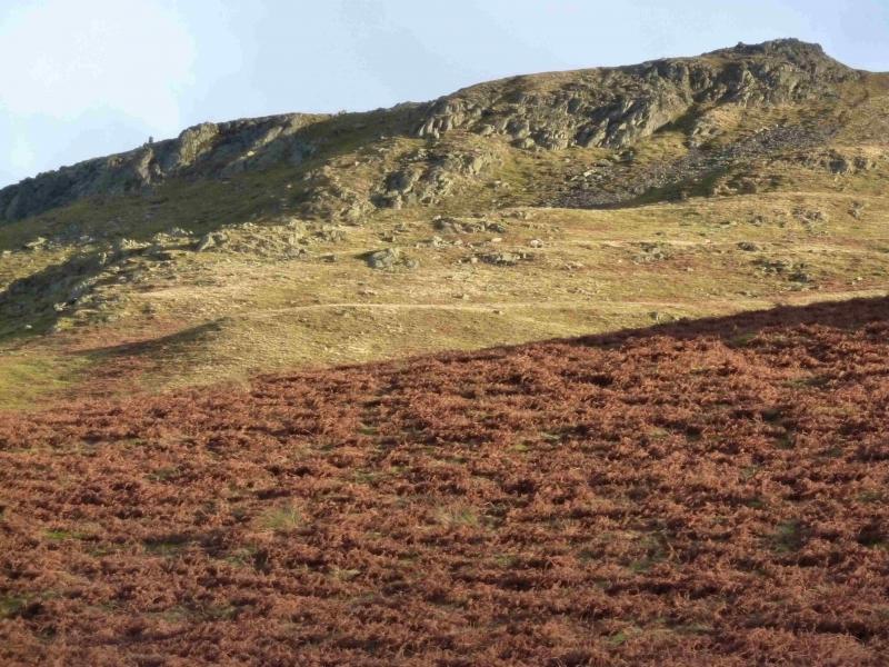
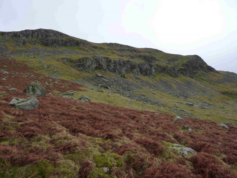
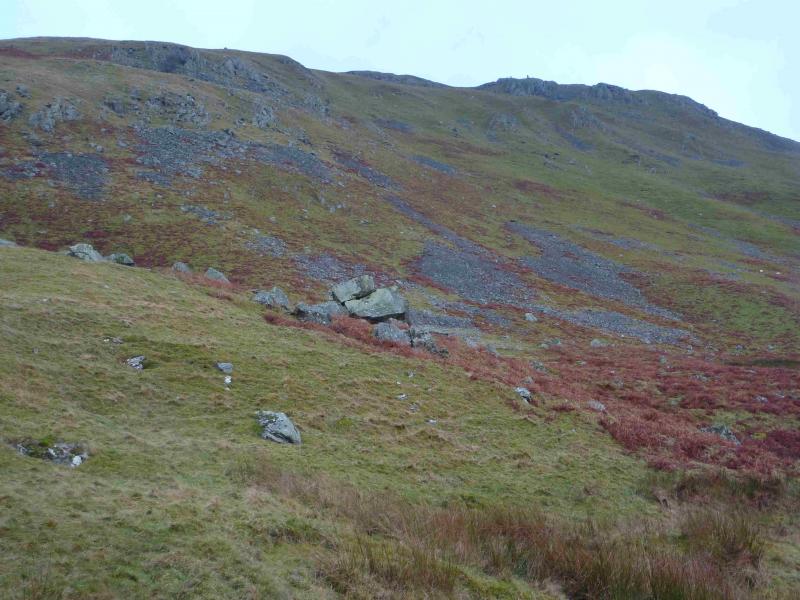
(2) Continue along the undulating ridge, soon following a wall, passing over Brownthwaite Crag top. Cross the wall as soon as possible as there is a better path on the other side. The path and wall pass to the E of Gowk Hill which can be ascended if one wishes but there is no cairn. Beyond Gowk Hill, the path crosses a broken section of the wall then picks its way gently uphill, heading SE, to reach the top of Mere Beck. Continue on the path until the ridge from High Raise to Wether Hill is joined on an obvious path. Turn N and follow the path N. When it soon splits, either branch can be followed as it recombines later on. Continue to reach the medium cairn which marks the summit of Wether Hill, 670 m. This may not be on the highest point.
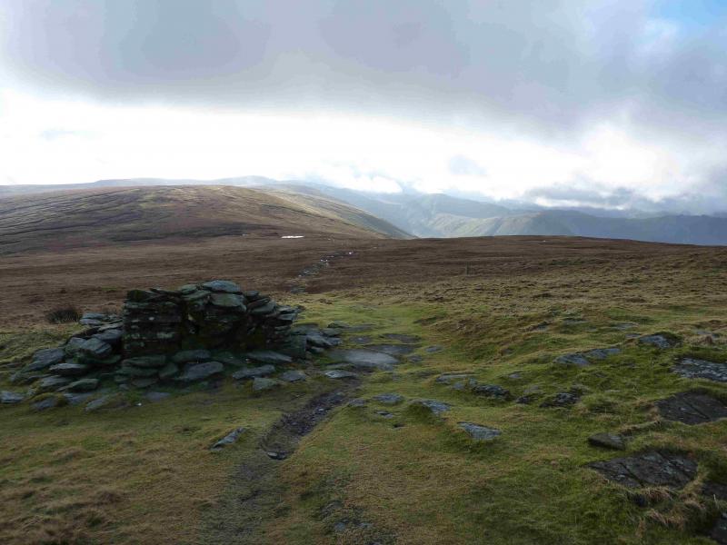
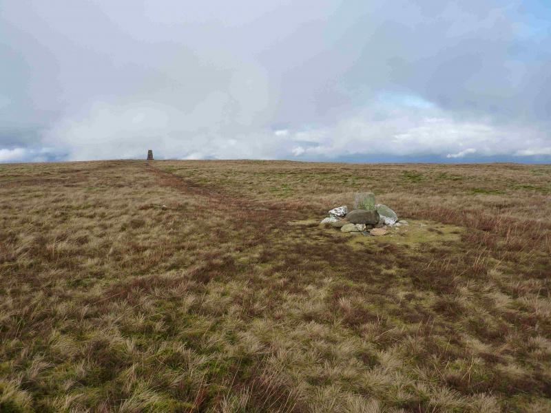
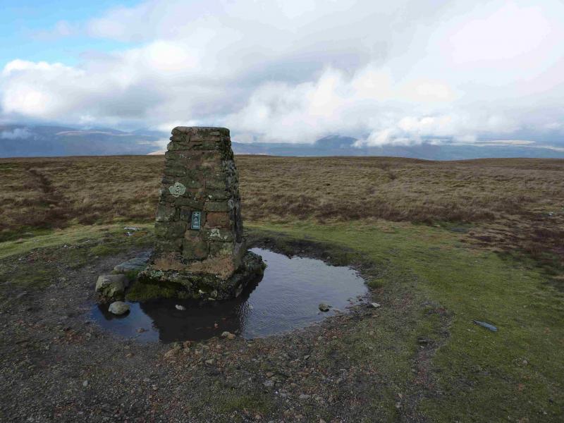
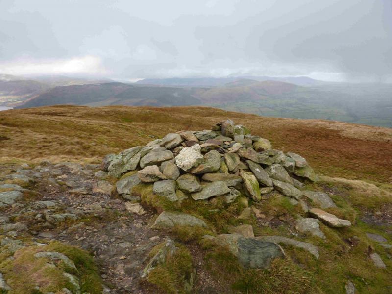
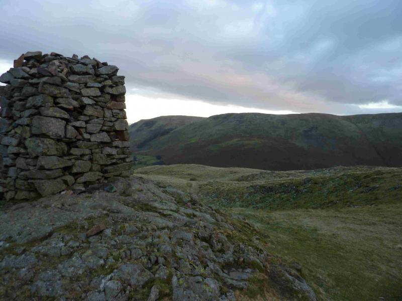
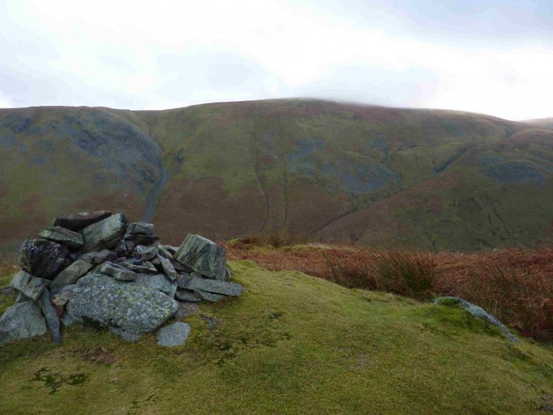
(3) Continue on the path, descending gentle grassy slopes then ascending up, past a large cairn, to the trig point which marks the summit of Loadpot Hill, 671 m.
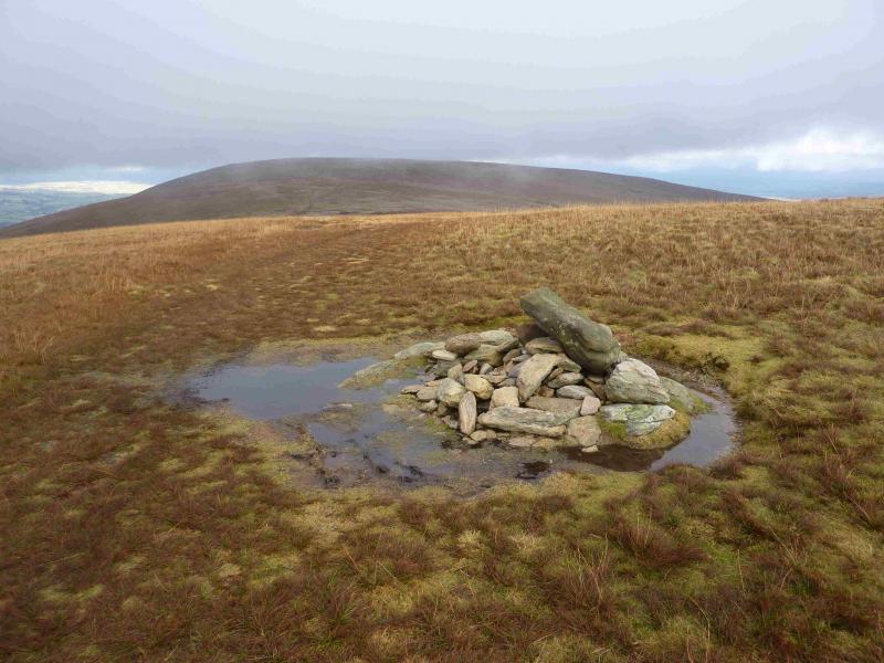
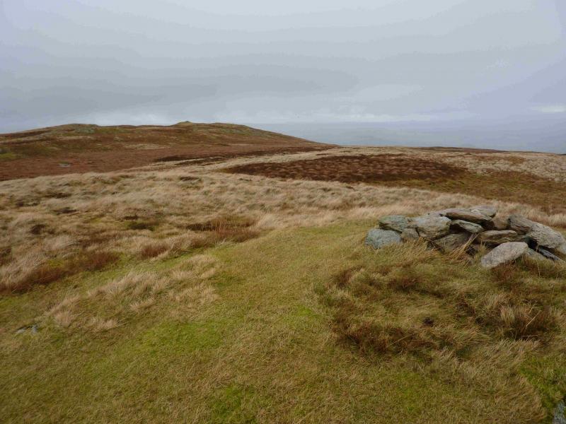
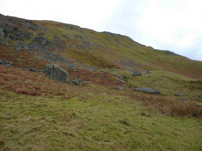
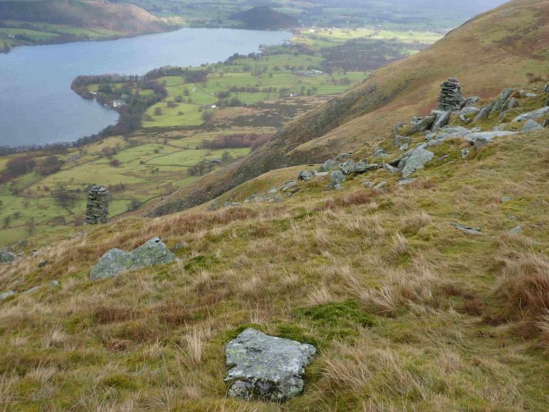
(4) Descend slightly W of N to reach the edge path which lead N to Bonscale Pike over a series of tops. There is a small craggy “bump” below the ridge, on the Ullswater side which has a small cairn on it. Above, on the ridge, another cairn sits on a not very distinctive top and this seems to mark the summit of Bonscale Pike, 524 m. Slightly further N and left, W, there are two tallish square cairns known as Bonscale Towers.
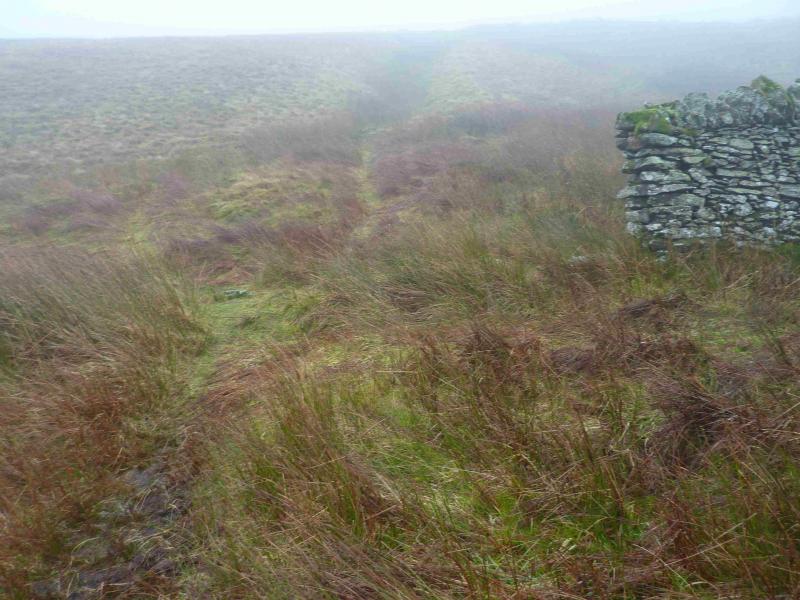
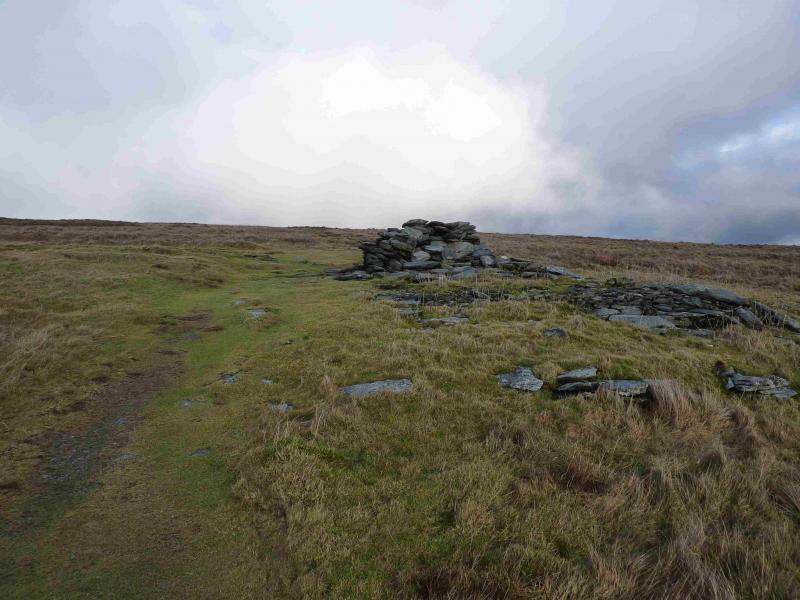
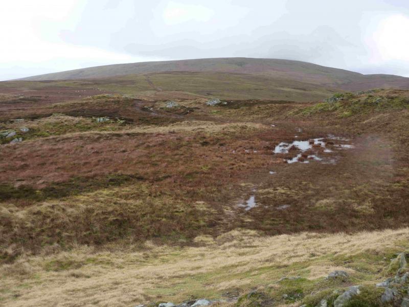
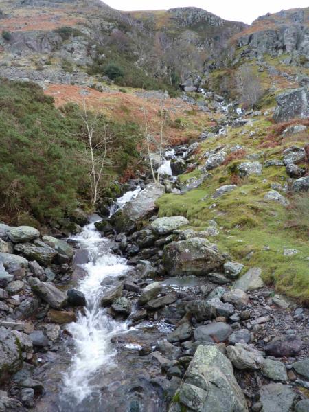
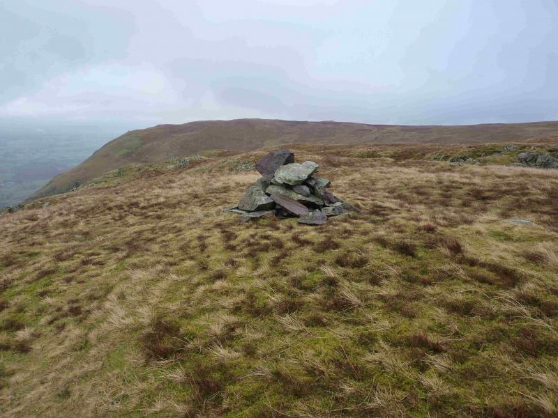
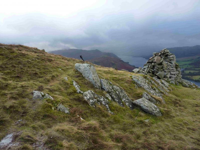
(5) A path goes roughly NE from the summit but soon curves round and follows Swarthbeck Gill up to an old ruin where the gill is crossed and a very distinctive grassy path/track is then followed up gently sloping ground.. Once level ground is reached, there is a faint path going off right which soon leads to a mound with a low cairn on it. This does not appear to be the highest point but it may be prudent to visit it. Retrace to the main path and look for a path leaving it on the other side, left, which goes to a slightly higher mound on which sits a slightly larger cairn which seems to mark the summit of Arthur's Pike, 532 m.
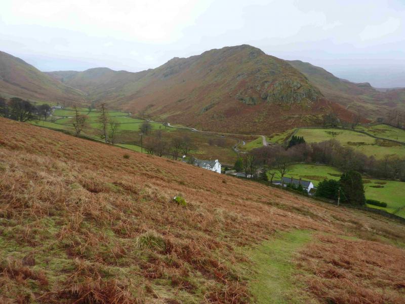
(6) From the summit, a faint path leads towards Ullswater and a line of cairns, each offering good views of Ullswater. Between the last two cairns is a path going N along the edge which can be followed. Unless it is very misty, the track way below which leads back to Howtown will soon be seen. Eventually, the edge path will meet this track but there is no need to go that far as the path, now looking like a strip of freshly mown grass, curves left to cut the corner and join the track below near to the left corner of an obvious wood. Once on the track, follow it back, crossing the foot of Swarthbeck Gill (bridge) to where the path splits by a house. Take the right fork which leads to a gate then another gate after some steps then a path leads diagonally across a field to a gate opposite the public launch point.
Notes
(a) This walk took place on 19th January, 2014.
Photos - Hover over photo for caption. Click on to enlarge. Click on again to reduce.


 from N top.jpg)
 summit looking N.jpg)
 summit.jpg)
 summit looking to Loadpot Hill.jpg)