Get Lost Mountaineering
You are here: England » Lake District » 1 Eastern Fells
Glenridding Dodd & Sheffield Pike from Stybarrow Crag, Glenridding
Glenridding Dodd & Sheffield Pike from Stybarrow Crag, Glenridding
Start/Finish
The car parking space and bus stop below Stybarrow Crag which is about half a mile N of the Glenridding petrol station on the A592 road to Pooley Bridge. The car park is very obvious.
Distance/Time
8 km About 4 hours
Peaks
Glenridding Dodd, 442 m, NY 381 176.
Sheffield Pike, 675 m, NY 369 182.
OS 1: 50 000 , Sheet 90. OS 1: 25 000 Outdoor Leisure 5, English Lake District NE Area.
Introduction
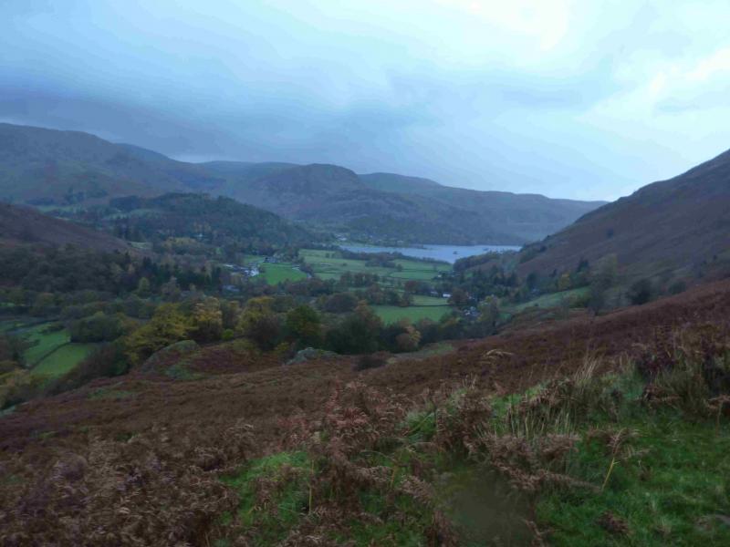
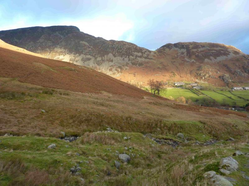
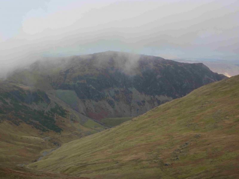
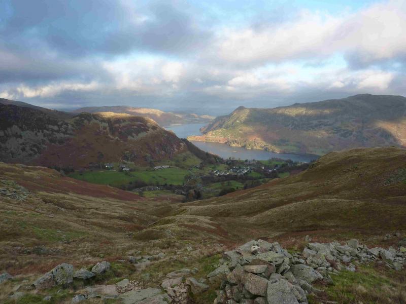
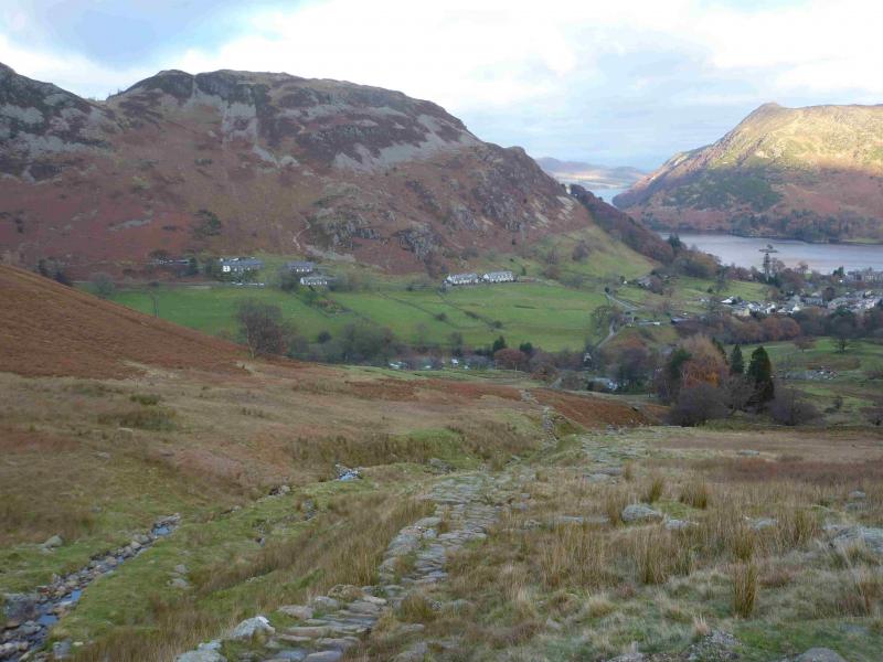
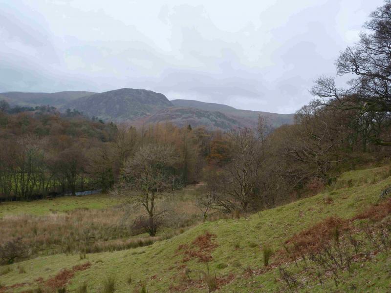
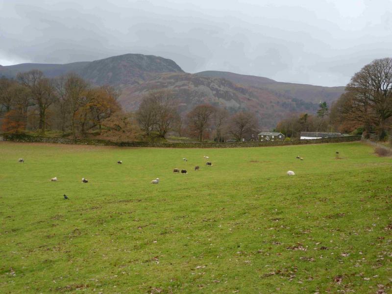
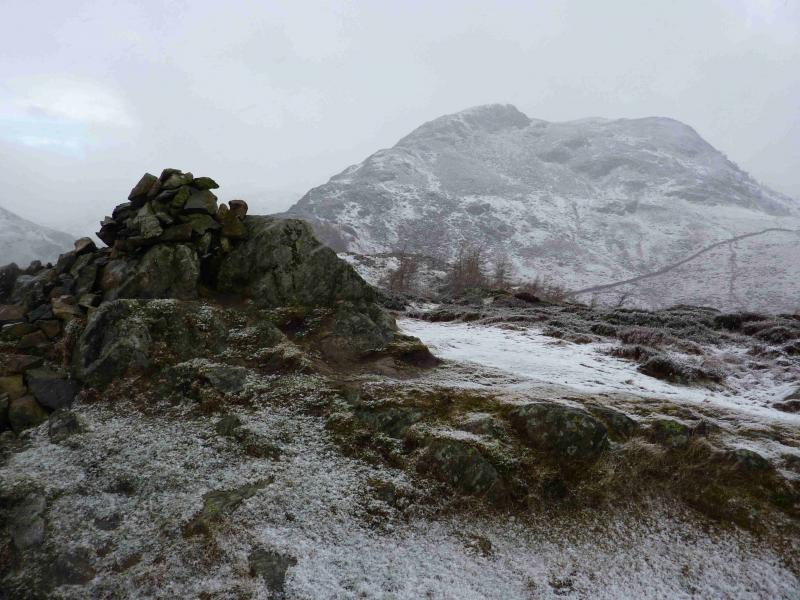
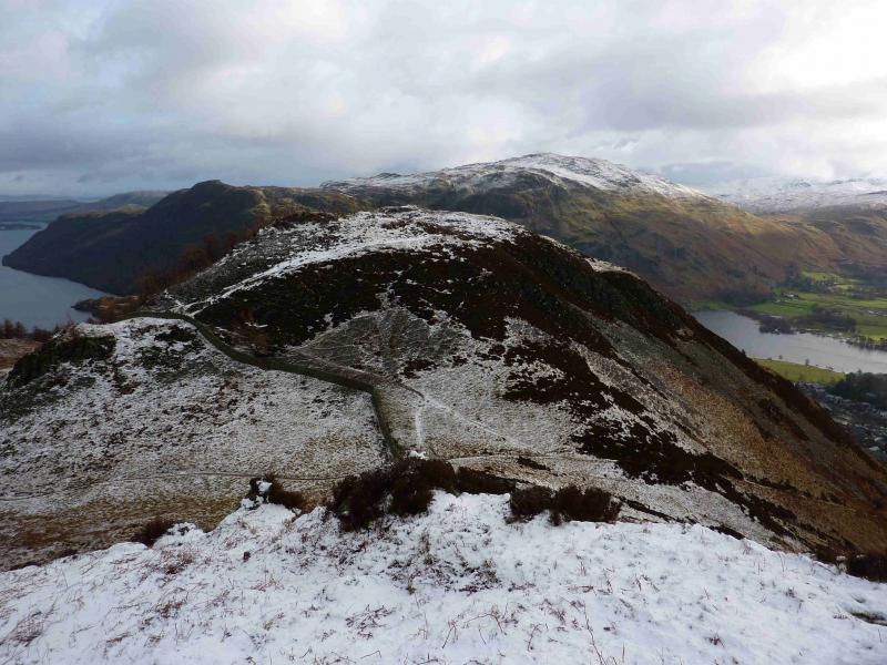
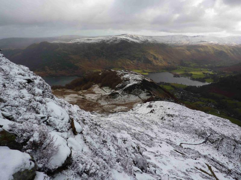
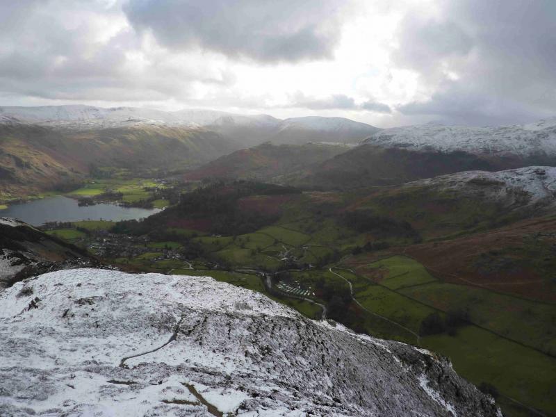
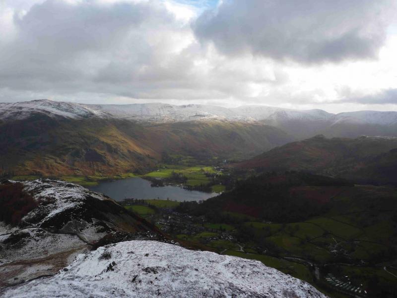
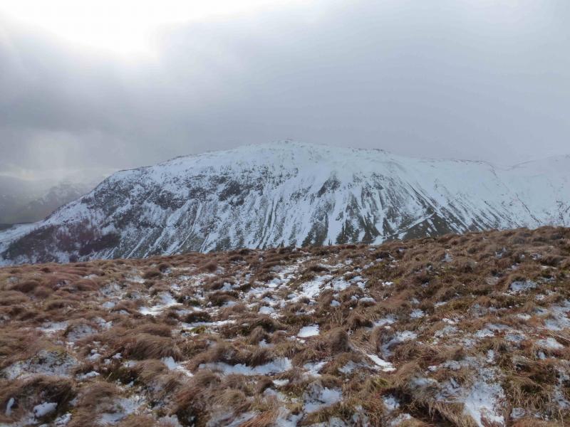
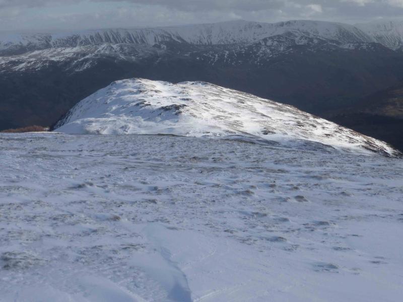
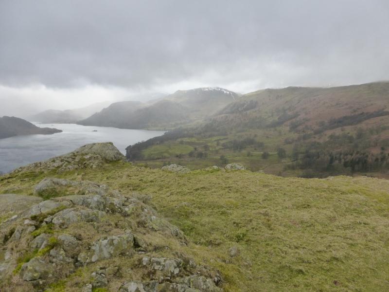
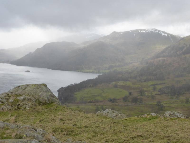
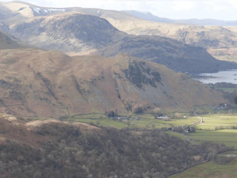
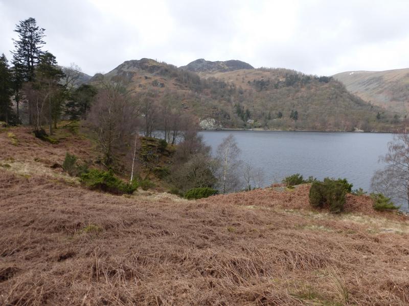
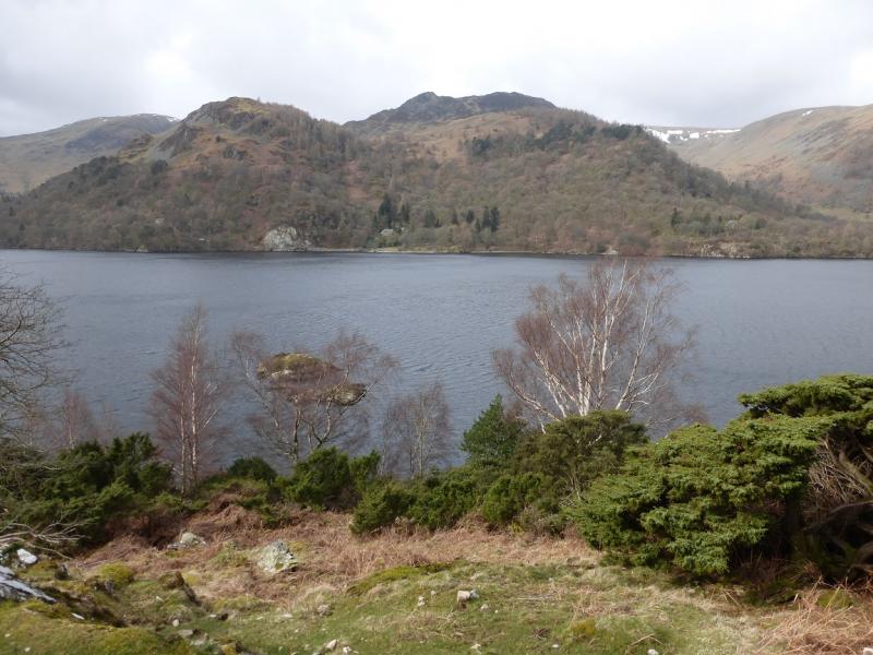
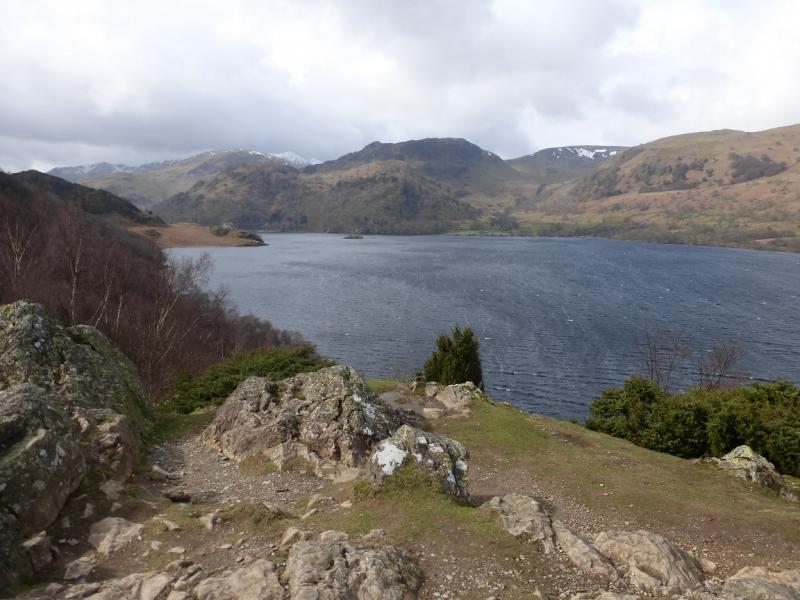
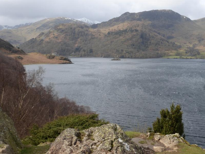
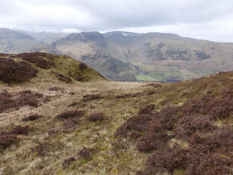
This is a shortish walk, ideal for a mid-winter's day although it can be challenging under winter conditions and is not for the inexperienced as some of the ascent slopes are quite steep. Sheffield Pike is only slightly higher than Place Fell, across Ullswater, but often sees more snow probably because of its proximity to higher fells. Once Stybarrow Crag has been bypassed, the route goes directly up the east ridge of Glenridding Dodd then up the attractive ESE ridge of Heron Pike to gain the Sheffield Pike plateau. On a clear day, views are extensive and include the High Street range, Place Fell and even the northern Pennines. Closer hills such as St. Sunday Crag, Birkhouse Moor, Catstye Cam and Raise dominate the near landscape. The return goes past the hidden hamlet with the unusual name of Seldom Seen.
Route
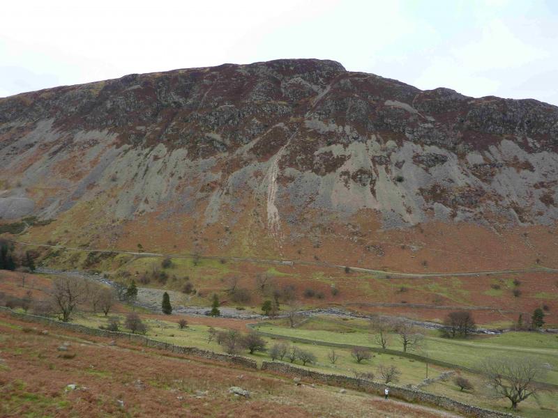
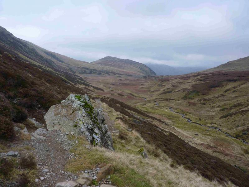
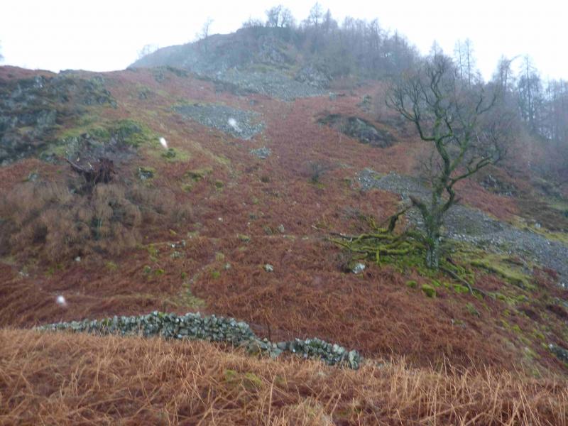
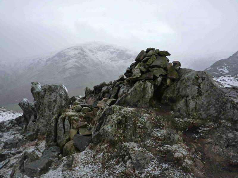
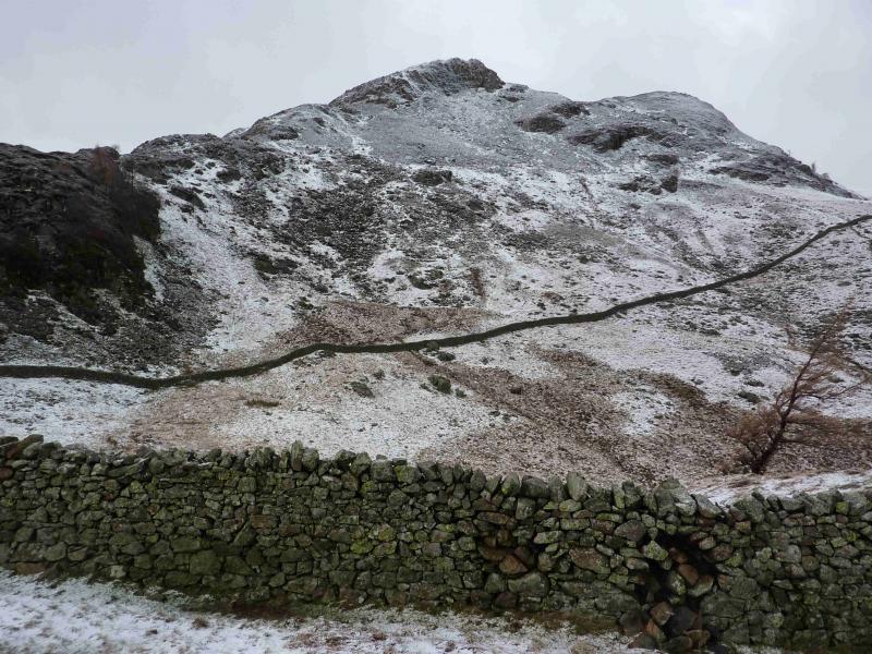
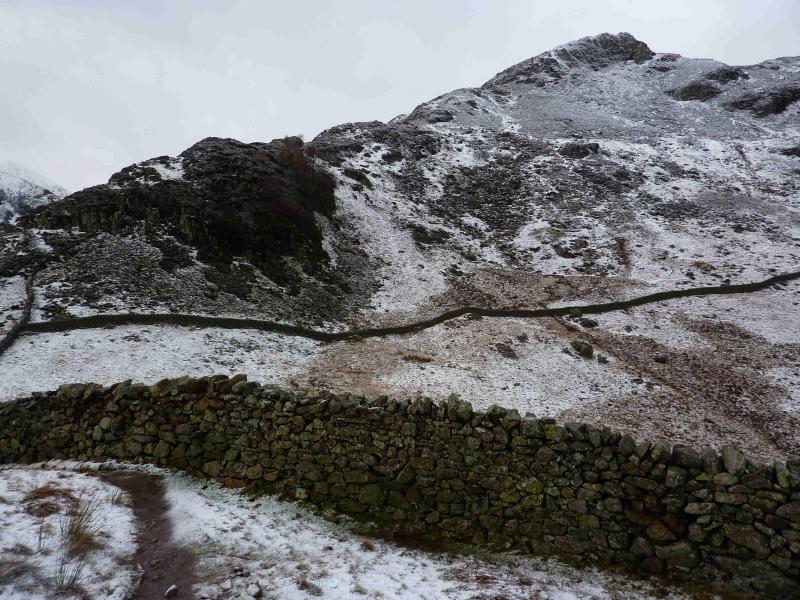
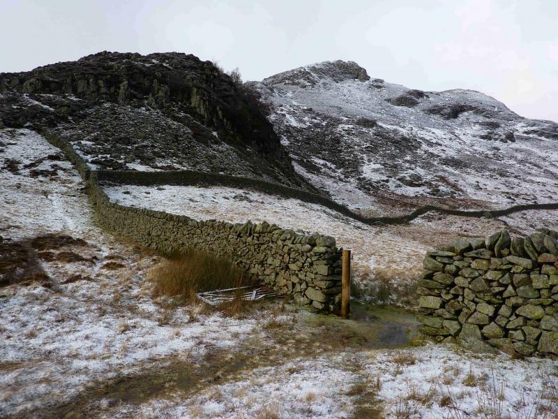
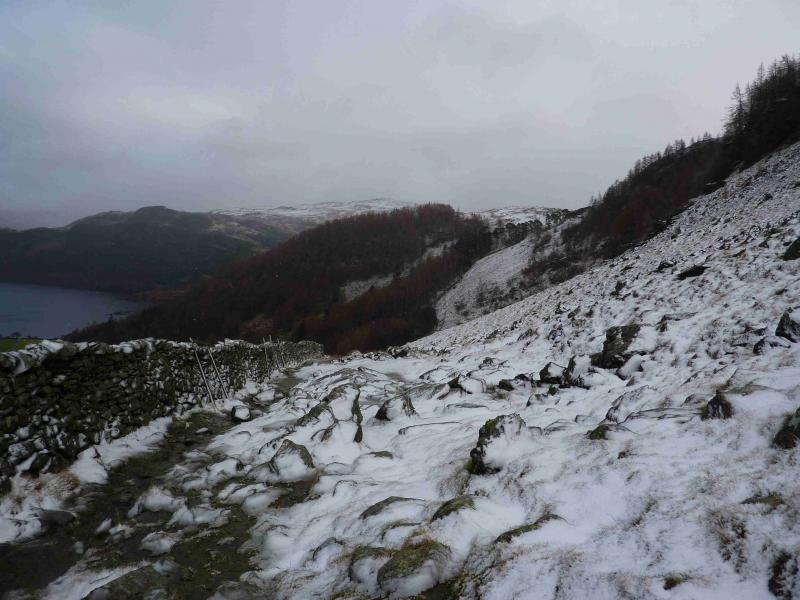
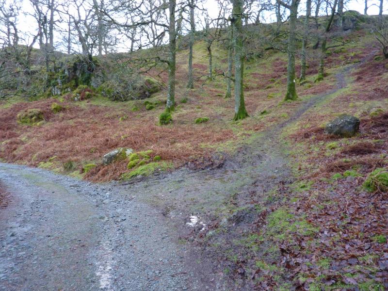
(1) From the car park, walk up the path on the S side of the stream. Soon go left up to the small col at the back of Stybarrow Crag. It is easy to walk on to the grassy top of the crag but beware of the sheer drops. From the col, walk directly uphill, roughly W, on the steep, but attractive, crest of Glenridding Dodd. There is a path but, in summer, it may be awkward because of bracken. A cross wall with a fence on top has to be crossed but this should not be a problem. There are steep sections but the path goes all the way to the top, with a wall not far away to the right, where a small cairn on an outcrop marks the summit of Glenridding Dodd, 442 m.
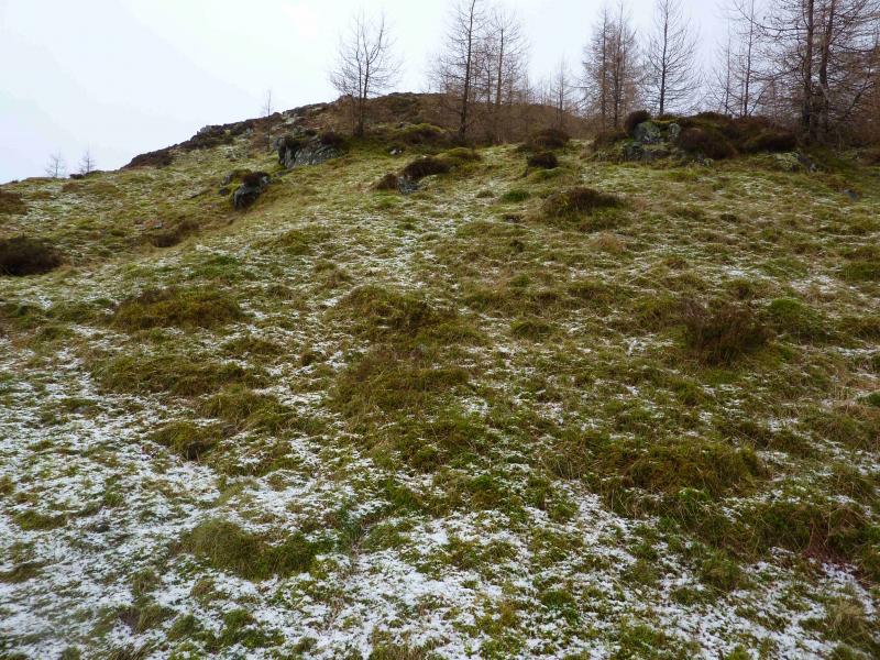
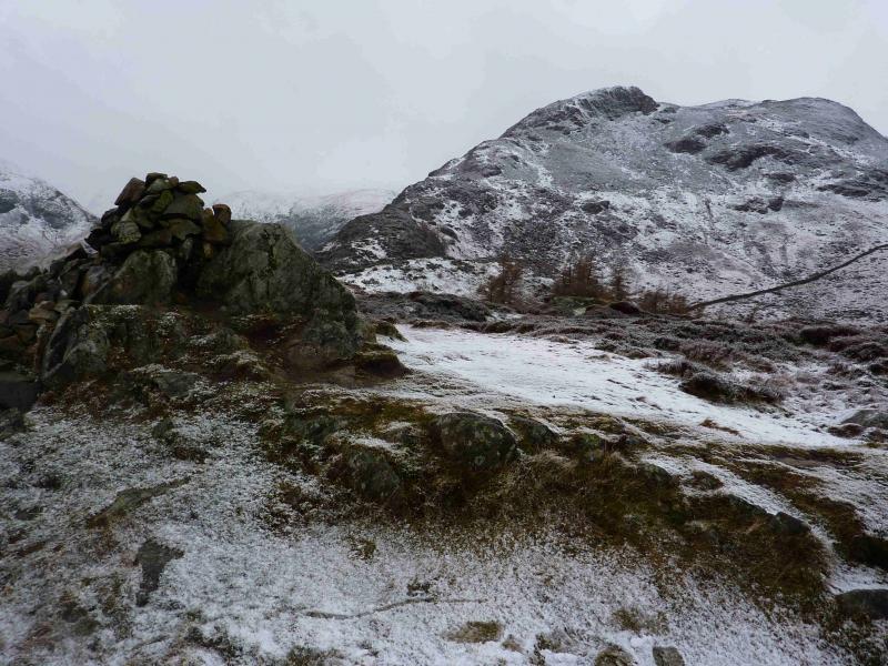
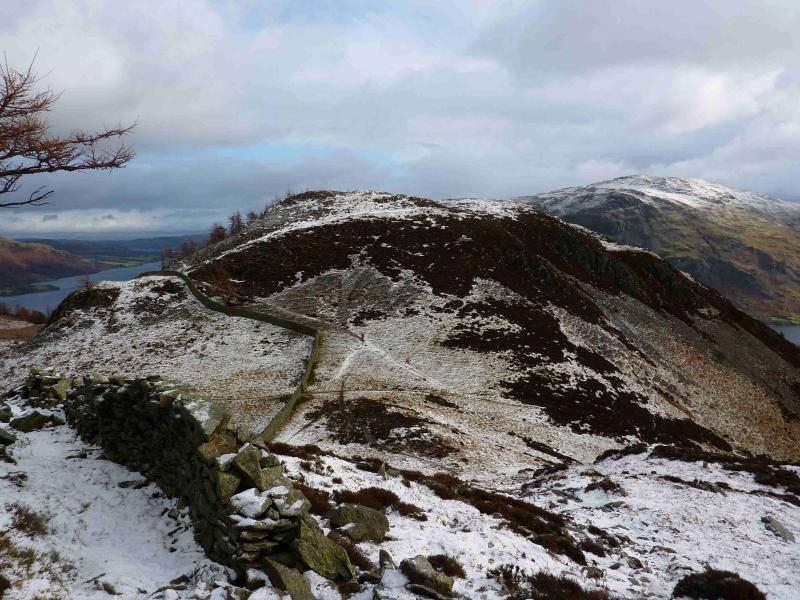
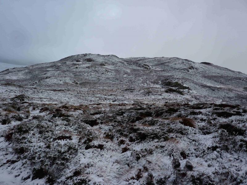
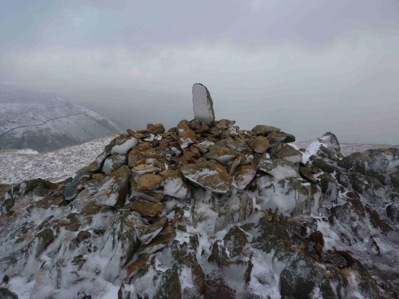
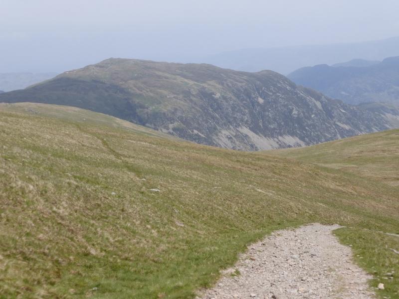
(2) Descend, still on the path, to a broad col, still roughly following the wall on the right. The path up Heron Pike should be fairly obvious, crossing a wall low down before continuing up the attractive ESE ridge where there are a few steep sections but no real difficulties in non-winter conditions. A post may be seen high up and this is close to the summit of Heron Pike. When the path levels off, go right for a short distance to find the summit of Heron Pike which has a very small cairn that could easily be missed. Continue WNW up gentle slopes but still on the, often boggy, path to reach the large cairn, with what seems to be a boundary stone on its top, which marks the summit of Sheffield Pike, 675 m.
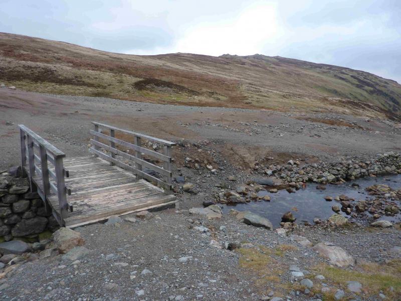
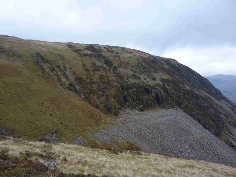
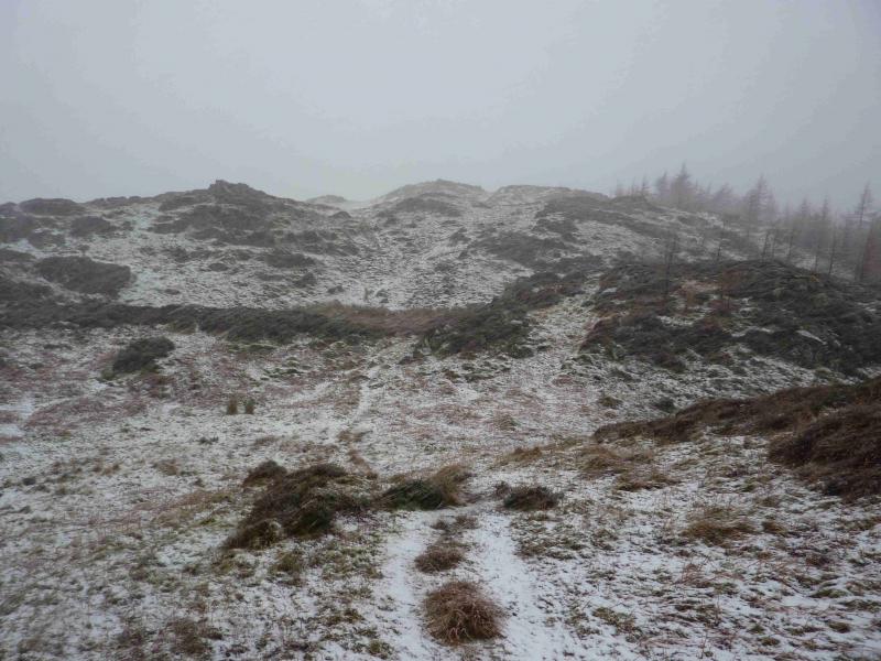
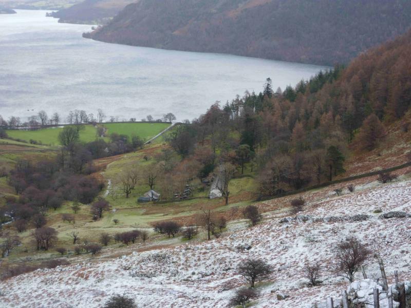
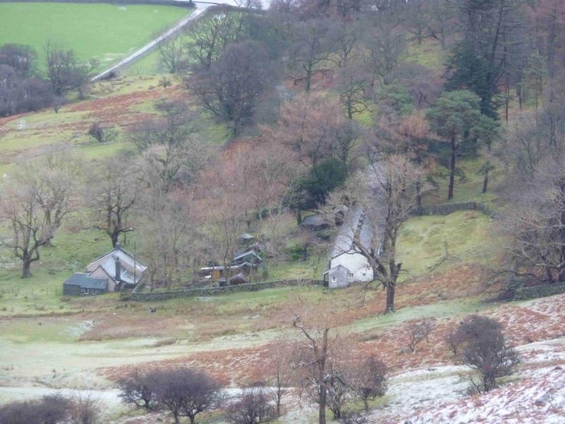
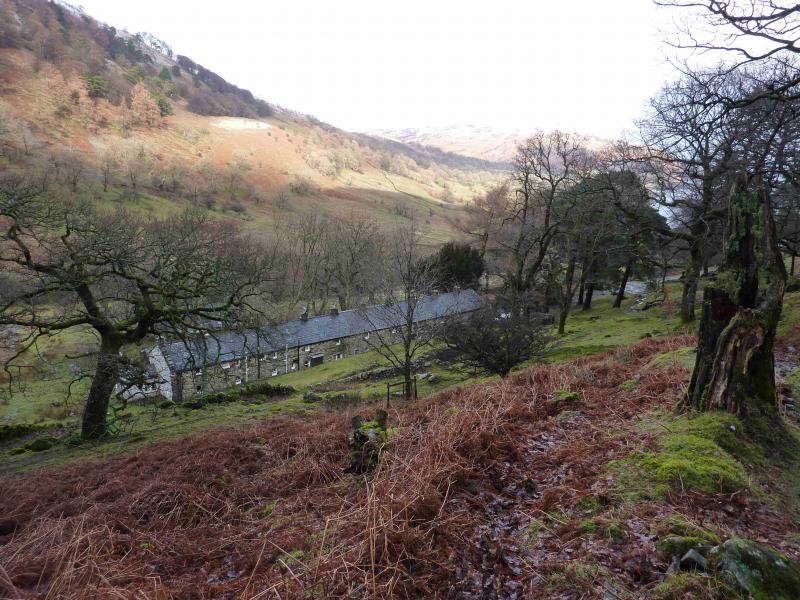
(3) Descend, slightly N of W, on very gentle slopes towards Nick Head. Note that, in early winter, this ground is more likely to be frozen than the ascent route. The return path goes roughly NE from Nick Head, heading for Bleabank Side. The path descends quite gently but might be difficult to locate after heavy snowfall. The path also looks as if it might be prone to avalanches from the slopes above. Follow the path down to the corner of the wall enclosing the lower Glencoyne valley. Stay on the right hand side of this wall and continue down to the long row of cottages known as Seldom Seen. From here, one is on a good track but still on the right of the wall. When almost at the road, the track turns left and a path goes ahead up to a small col. Take this path. It avoids some road walking and joins the road about 400 m N of the start.
Notes
(a) This walk took place on 23rd March, 2002, and 23rd January, 2014, both under winter conditions.
Photos - Hover over photo for caption. Click on to enlarge. Click on again to reduce.