Get Lost Mountaineering
You are here: England » Lake District » 2 Far Eastern Fells
Lingy Crag & Brock Crags from Hartsop
Lingy Crag & Brock Crags from Hartsop
Start/Finish
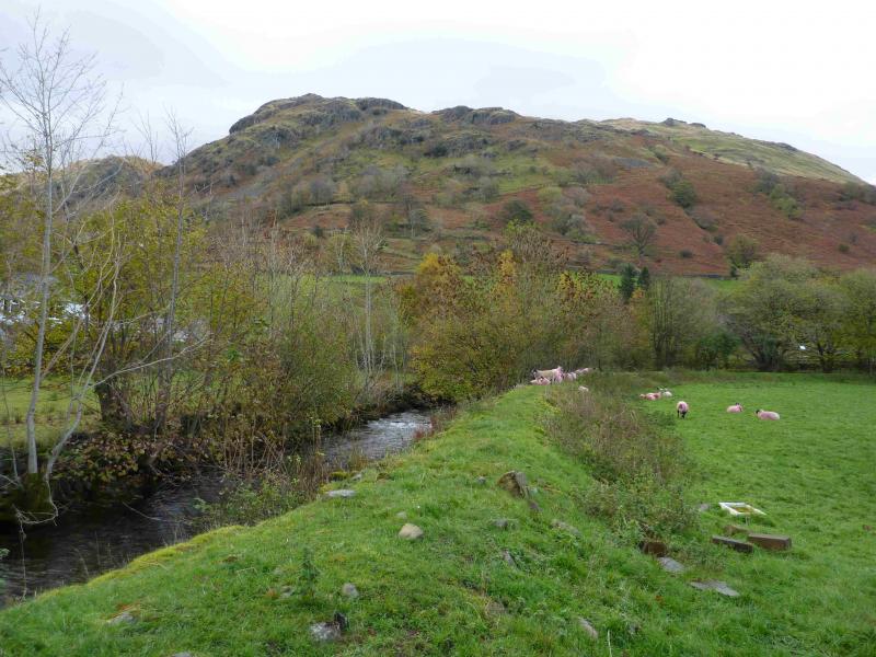
Park at the NW corner of Brothers Water as there is no nearer parking in Hartsop. Brothers Water is at the foot of the Kirkstone Pass on the A592 which runs from Windermere to Penrith.
Distance/Time
7 km About 3 hours
Peaks
Lingy Crag, c 450 m, c NY 411 138.
Brock Crags, 561 m, NY 417 136. OS 1: 50 000, sheet 90.
OS 1: 25 000 Outdoor Leisure 5, English Lake District NE Area.
Introduction
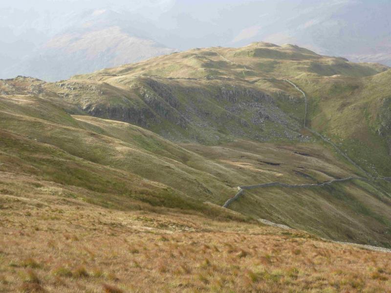
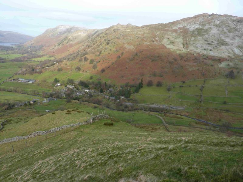
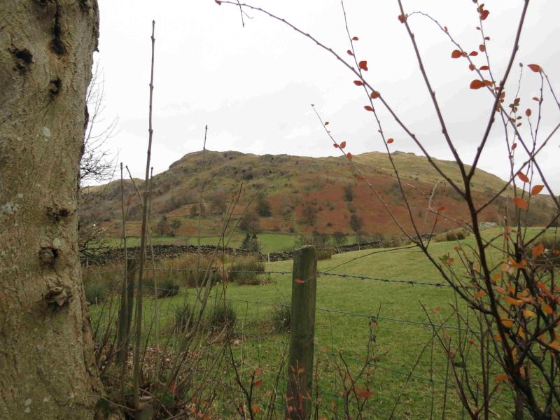
This is a lovely exploratory walk for those with a few hours to spare, perhaps on a morning before going home. It uses various grassy rakes to pick its way to the top of Lingy Crag before walking up the grassy west ridge of Brock Crags then meandering around its many outcrops before descending back to Hartsop by a delightful little path. As there are so many options on the traverse to the top of Lingy Crag, only outline details are given. One can also find a few scrambles if so inclined. In places, the grassy slopes can be very steep but if that is unnerving, one can simply head up to the easier crest. Remember not to go into a situation you cannot retrace your way out of. On a clear day, the views are excellent especially to nearby fells such as the Angletarn Pikes, Rest Dodd, The Nab and the High Street range. Across the Kirkstone Pass road, one can usually enjoy excellent views of Hartsop Above How, Red Screes, Dove Crag, Hart Crag, Fairfield, St. Sunday Crag, Dollywaggon Pike, Nethermost Pike, Helvellyn, Catstye Cam and many more. The length of this walk is ideal for a short weather window on a winter's day but may only be for the experienced if winter conditions prevail especially on the steeper ground.
Route
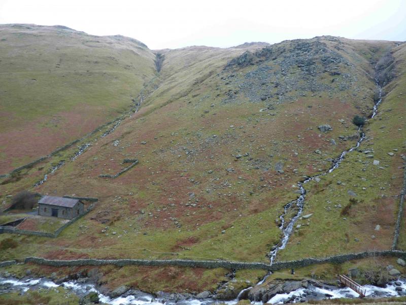
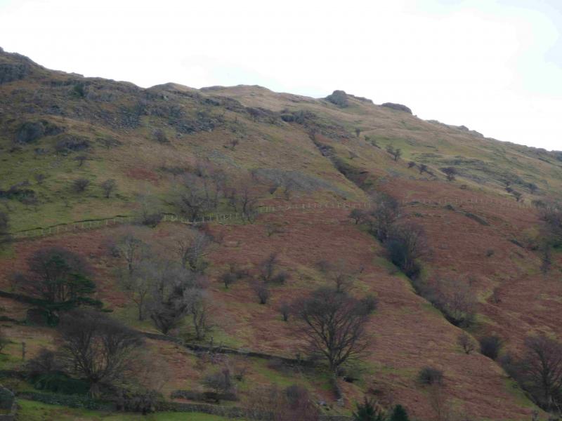
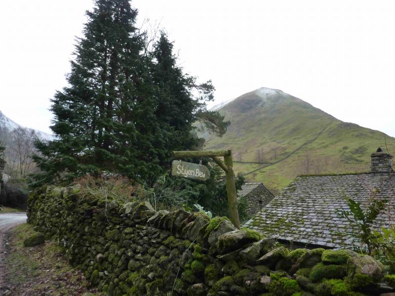
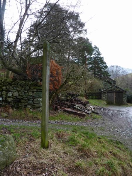
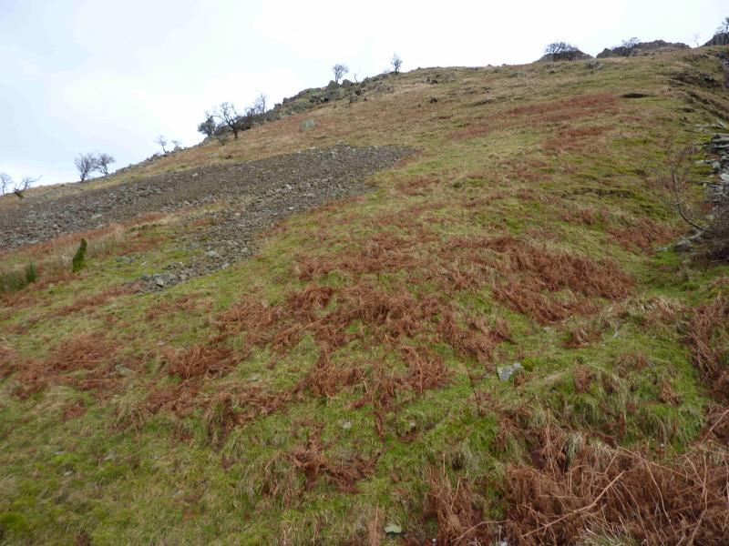
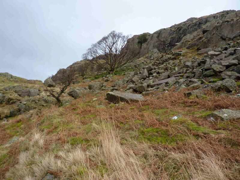
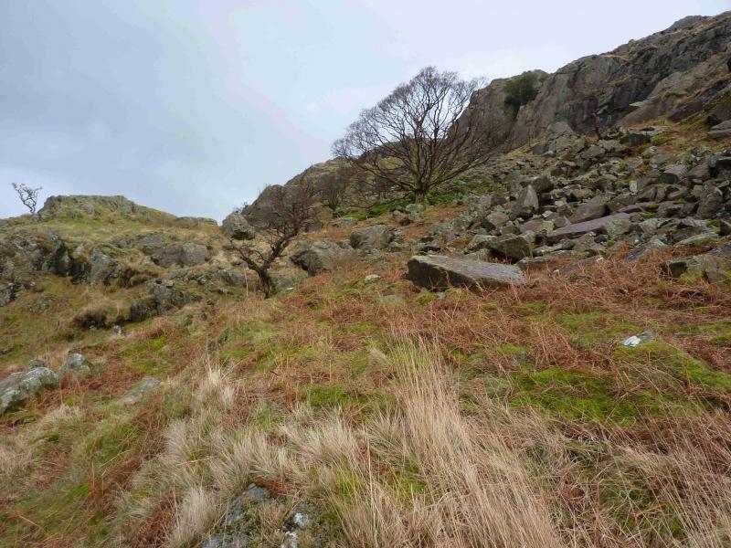
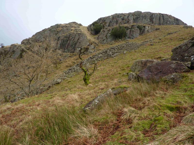
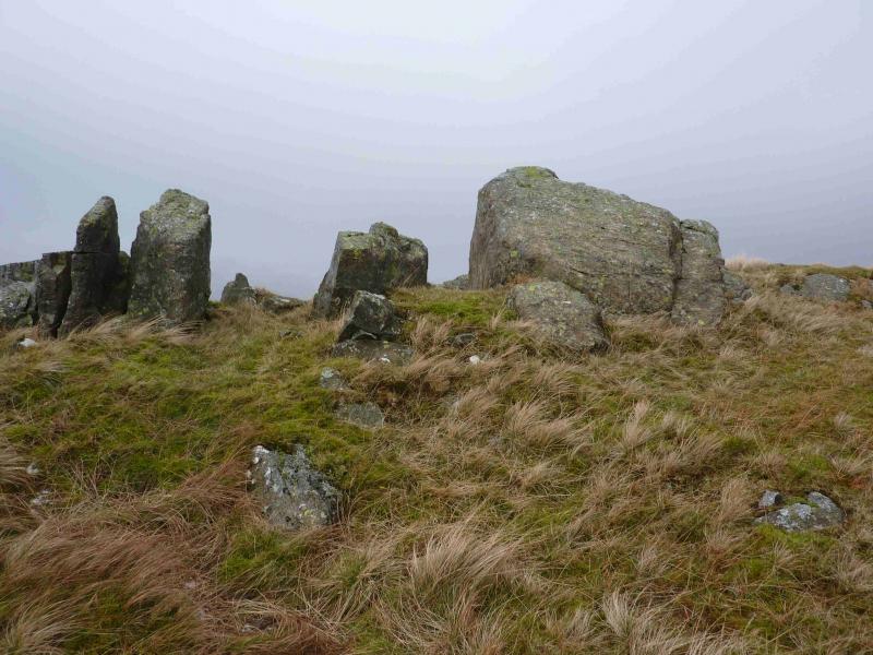
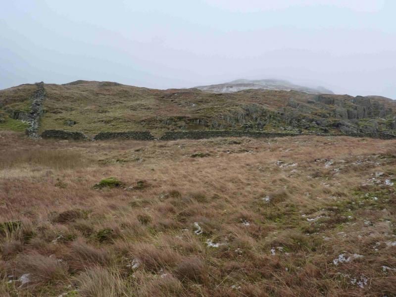
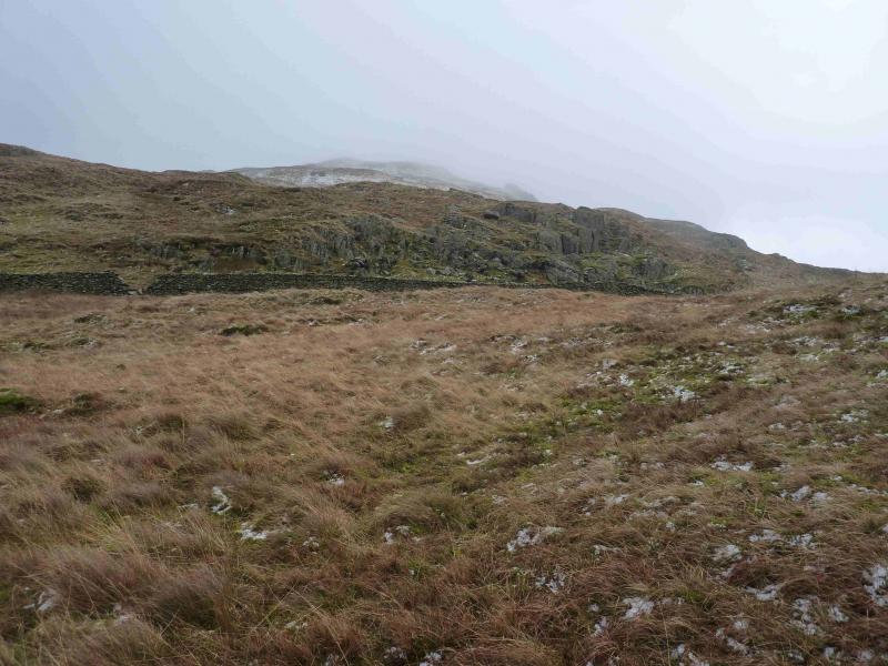
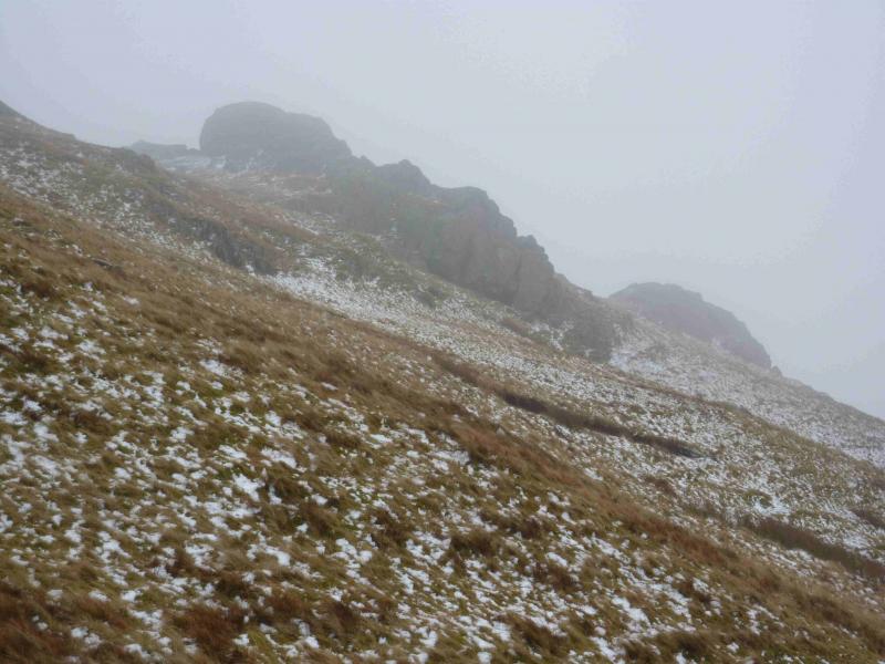
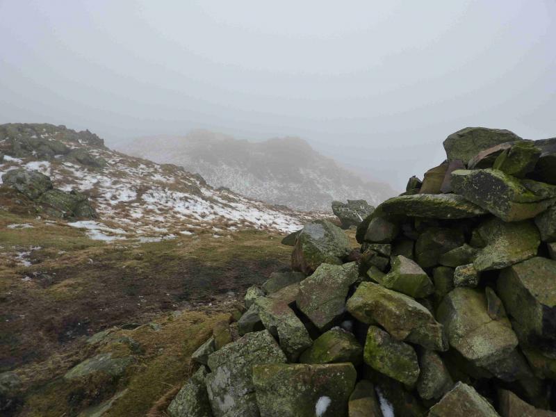
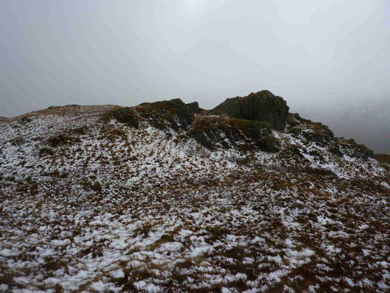
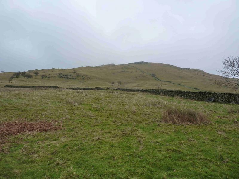
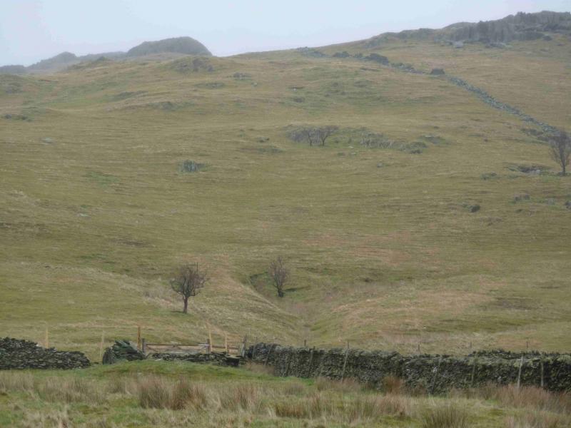
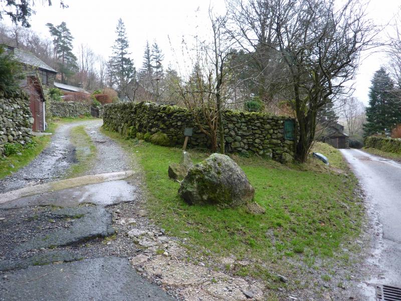
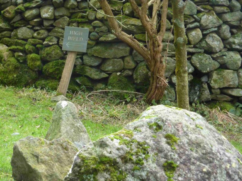
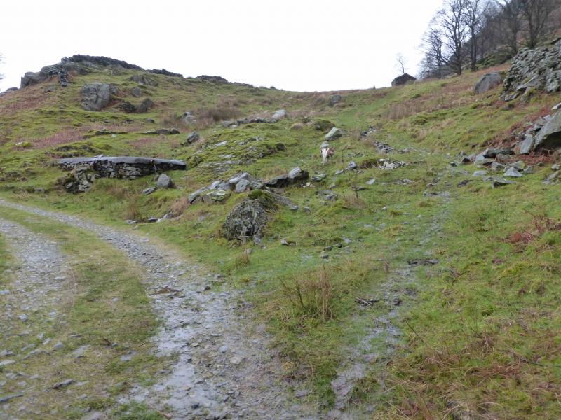
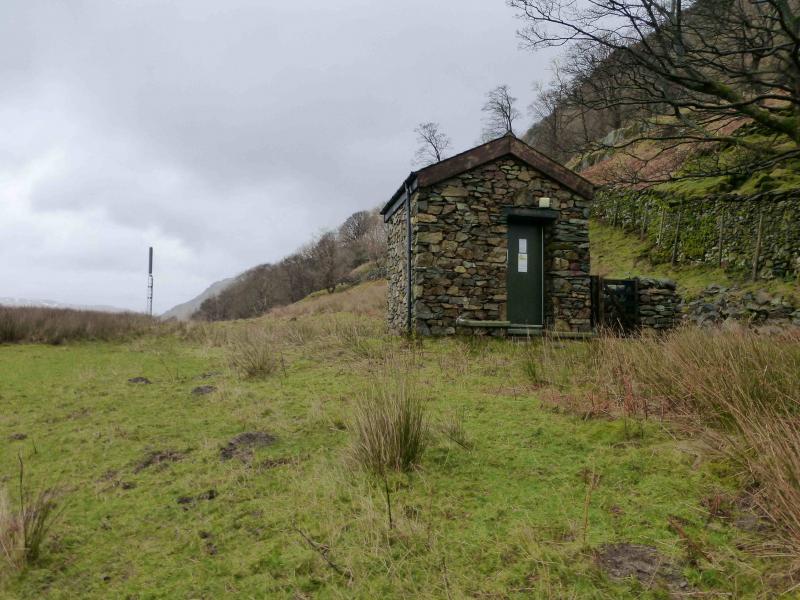
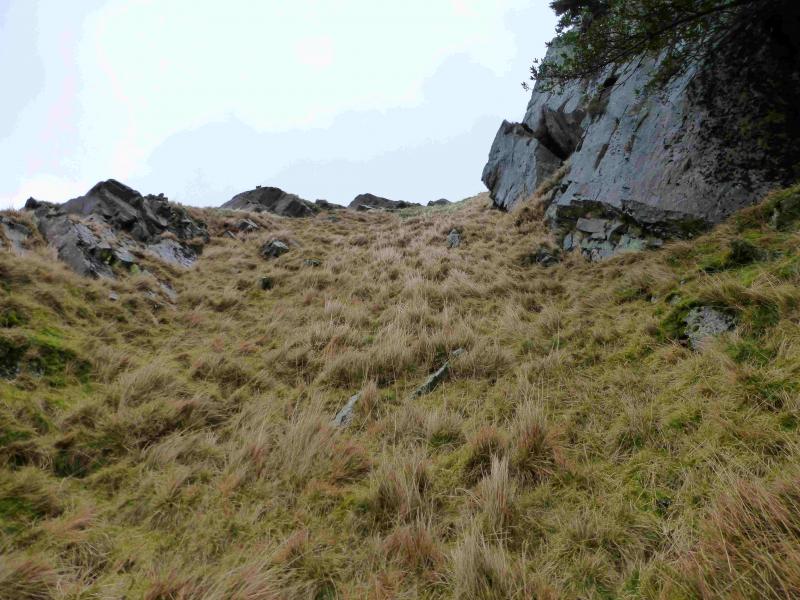
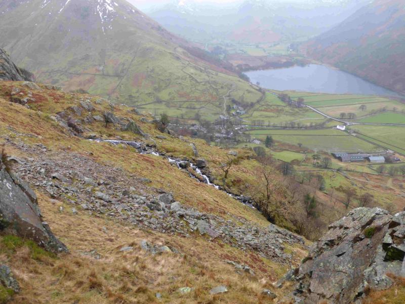
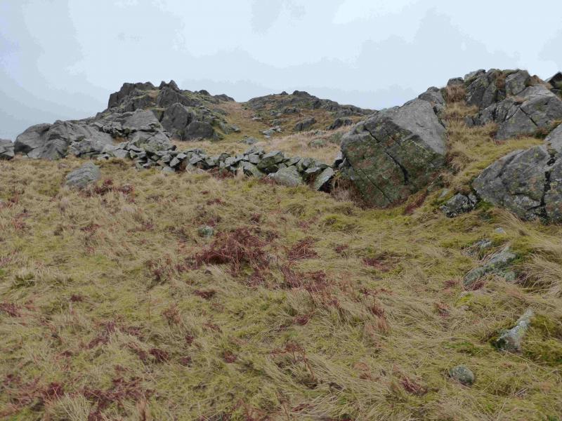
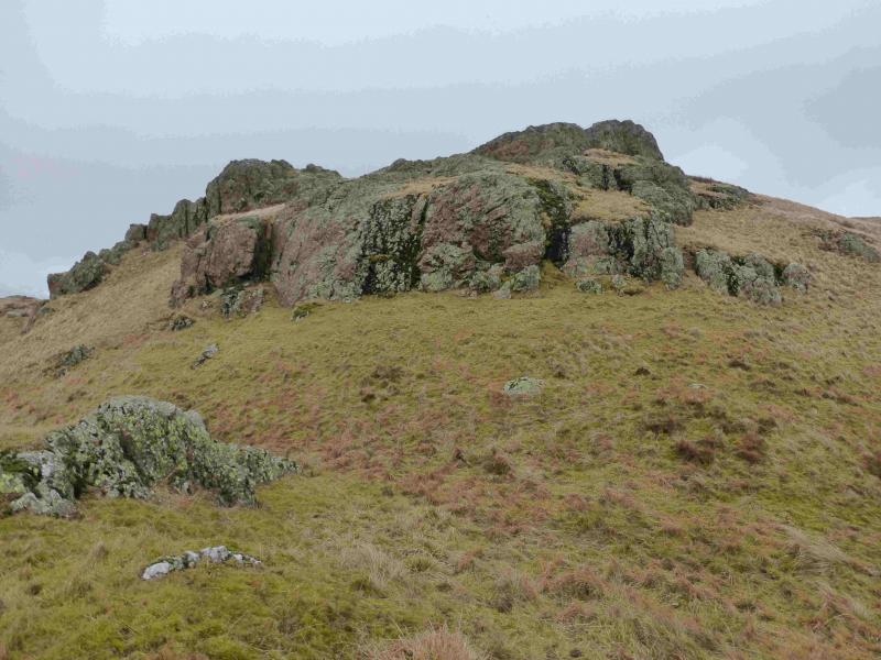
(1) From the NW corner of Brothers Water car park, walk SE towards Kirkstone Pass. At the stone bus shelter, take the minor road for Hartsop village. Walk up the road until a track forks left with a sign saying High Bield. This is not strictly a right of way. That is about 50 m further on where there is a footpath sign. The footpath meets the track fairly quickly! Follow the track. Keep looking for a faint path forking off right which goes to a stone hut with a stone wall on its right a communications post nearby on the left. This wall will be followed to get around the deer fence. Follow the faint path past the hut. It eventually reaches two parallel streams at a corner in the wall. Walk up the side of the first stream to reach the next corner of the wall where a good path/track is joined. Turn right, keeping the wall with a deer fence on top on your right. Keep looking for a patch of scree on the left just above the path as this is where the traverse begins. If you reach the highest point of the track, you have gone too far. Walk up the right hand side of the scree then across its top on a very faint path then keep going in roughly the same direction, gradually gaining height, and still following the faint path. The going is generally easy but there are many opportunities to “escape” upwards to easier ground. Most of the obvious crags are above and to the right. A minor stream will be crossed just before a major one. After the stream, the ground being walked on is still gently sloping ahead but is very steep on the downhill side and a slip could result in a long slide. If it is not for you, simply head upwards towards the crest. By now, you are almost at the end of the traverse. Soon, there is a choice of two grassy rakes through the final crag with the lower one looking more easy angled but it is more exposed. Again, choose carefully. The higher and steeper one is probably the wise choice as it is slightly “enclosed”. After this, there is a broken wall then one is on the crest. There is a tiny cairn, easily missed, but an outcrop, see photo, might also mark the highest point on the edge which would be the summit of Lingy Crag, c 450 m. The tiny cairn seems to be the slightly higher point.
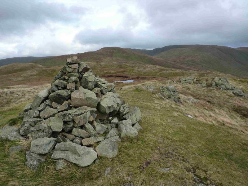
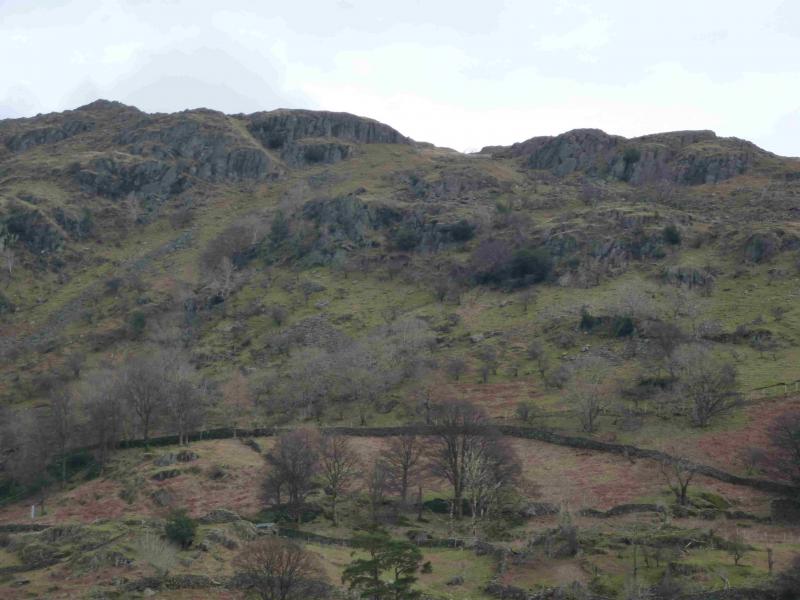
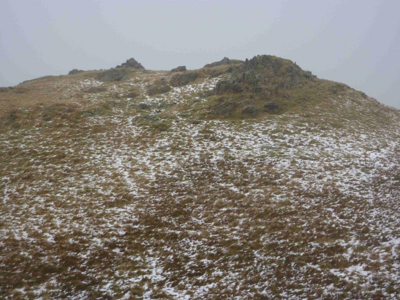
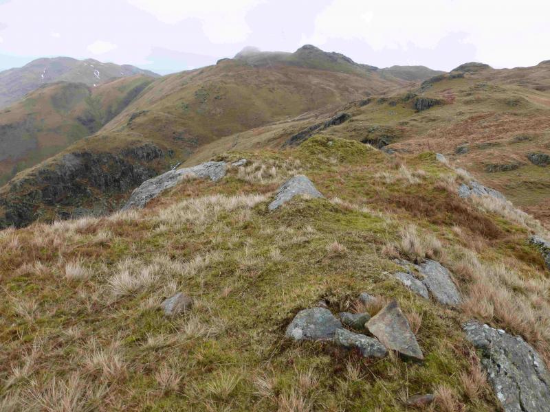
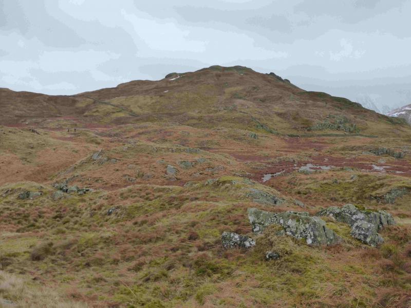
(2) Brock Crags is ESE from here, up fairly gentle grassy slopes but it is better to head more towards SE, crossing the obvious broken wall to the right of its corner then gradually drift right, picking a way up the ill-defined W ridge. There are many crags and outcrops around the summit area which can be explored. The OS 1:50 000, 1981 map actually does not show any crags here at all! The two outcrops almost due S of the summit probably offer the best shelter in bad weather. The highest point has a medium cairn which marks the summit of Brock Crags, 561 m, NY 417 136.
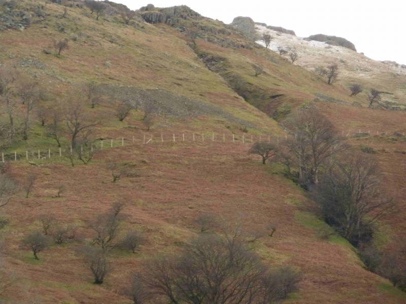
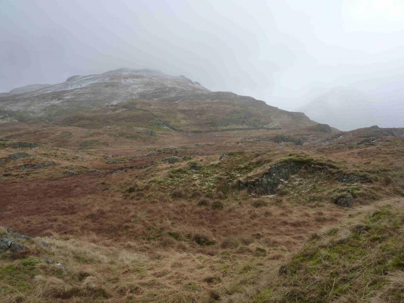
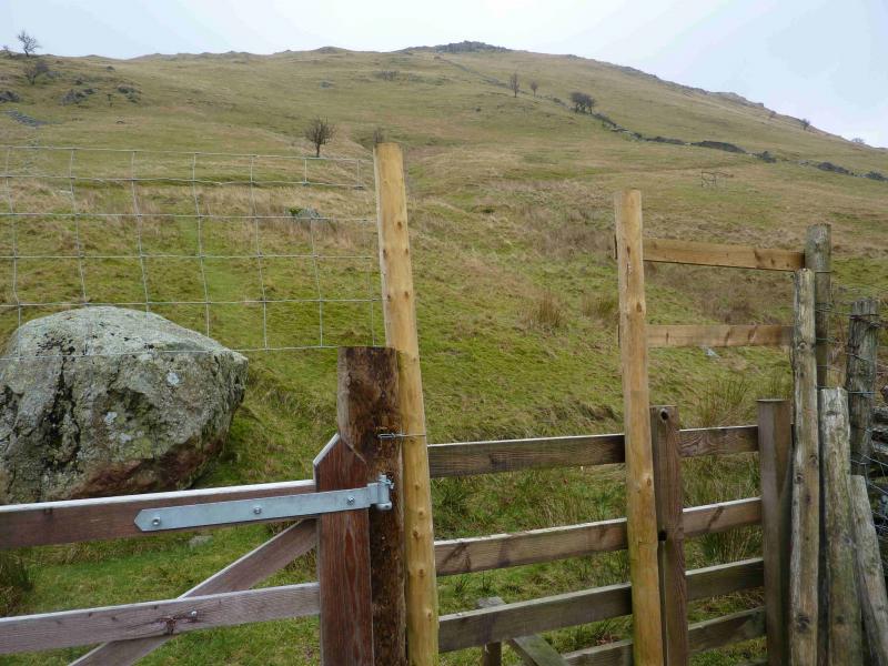
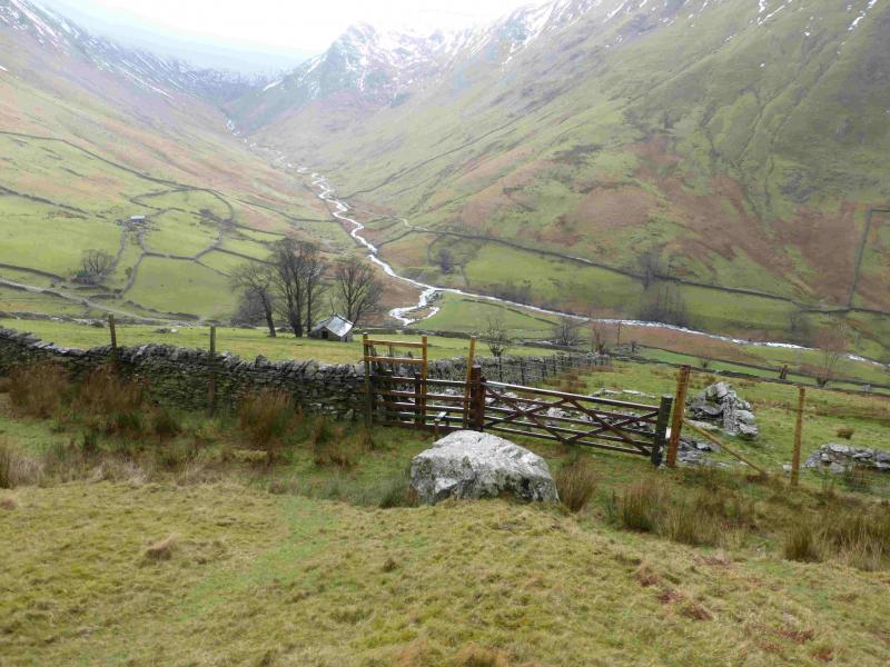
(3) Descend roughly SE, traversing the mainly grassy slopes at a gentle angle. If it is clear, aim for Hayeswater Reservoir. A few walls and old fences will be easily crossed. Eventually, an obvious grassy path will be met which is descending roughly SW from the top of Calfgate Gill. Lower down this delightful little path seems to be on a low grassy rib with a shallow groove on its right. Lower down, the path meets a deer fence – the same one as followed on the outward route. There is a stile here. Cross over and walk to the bottom of the field where what seems like a “green lane” goes off to the right. Follow this, keeping a wall on your left when the lane opens up. The path eventually leads back to the High Bield track. Turn left and soon reach the road through Hartsop.
Notes
(a) This walk took place on 24th January, 2014, and 18th February, 2014.
(b) Those who wish a more “guided” return from Brock Crags summit to Hartsop should proceed as follows: Head roughly ENE, on a distinctive grassy path and descend into a wet area where the path splits. Take either branch as it recombines soon after. When a wall is seen, follow it, still on the path, to meet another wall, running NW – SE, and follow it SE to where there is an old gate hole in the wall which is soon after another wall going off right. A path leads down from this gate hole back to the wall just passed on the right but this way gives the easier path to follow. Follow the path down. Soon after the path leaves the gill and swings SW, descending gently down a grassy rib. This is the path described above.
(c) It is also possible to descend more directly from Brock Crags to the stile. Follow the line of the crags down almost due S. The slopes are mainly grassy and moderately steep but straightforward in non-winter conditions. The crags are small and easily walked around. There is a broken wall on the left which can be used as a guide. This soon crosses a line of old fence posts which could be followed on a more gentle gradient but don't forget that the deer fence has to be crossed and following these fence posts could mean retracing part of the outward route. Continue shadowing the wall, As height is lost a stone barn should be seen below. The stile is slightly higher and to the right of this and one can then follow the route back as described above.
Photos - Hover over photo for caption. Click on to enlarge. Click on again to reduce.