Get Lost Mountaineering
You are here: England » Lake District » 1 Eastern Fells
Gowbarrow Direct from Aira Force Car Park
Gowbarrow Fell from Aira Force Car Park
Start/Finish
Main Aira Force car park about 100 m east of the junction of the A5091 and A592 (re-opened March 2014). The junction is about 2 miles east of Glenridding on the A 592. If it is full there are two smaller car parks some way up the A5091 towards Dockray. All car parks are owned, as is Aira Force, by the National Trust so there may be charges for non-members. There are toilets in the main bottom car park.
Distance/Time
5 km About 2 - 3 hours
Peaks
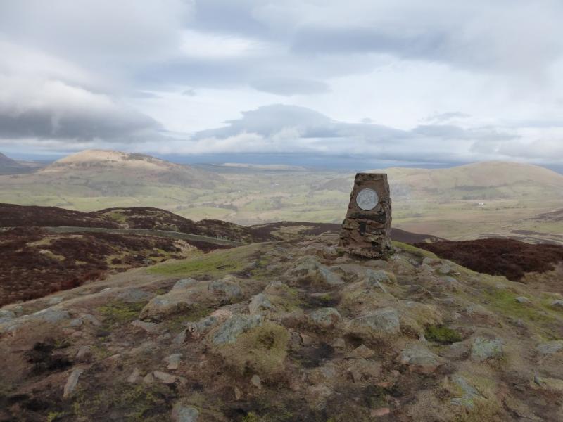
Gowbarrow Fell, 481 m, NY 407 218. OS 1: 50 000 , Sheet 90.
OS 1: 25 000 Outdoor Leisure 5, English Lake District NE Area.
Introduction
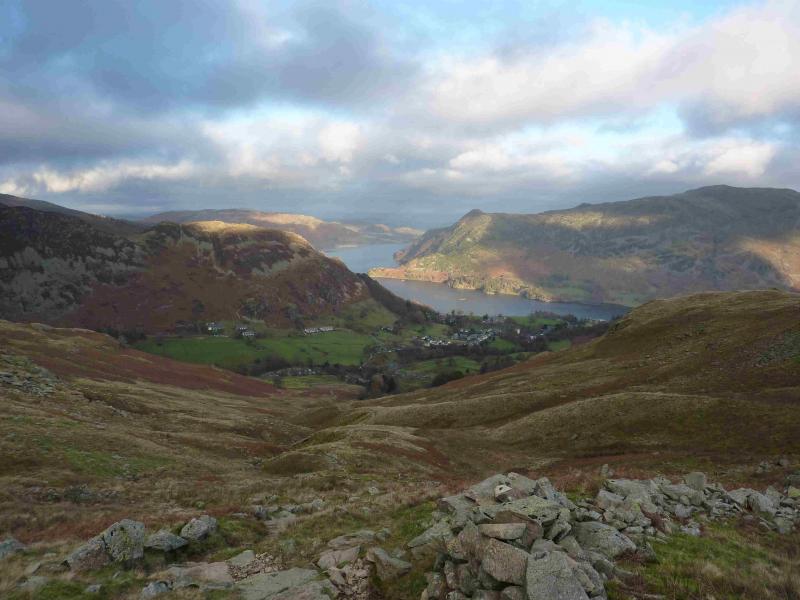
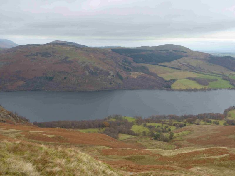
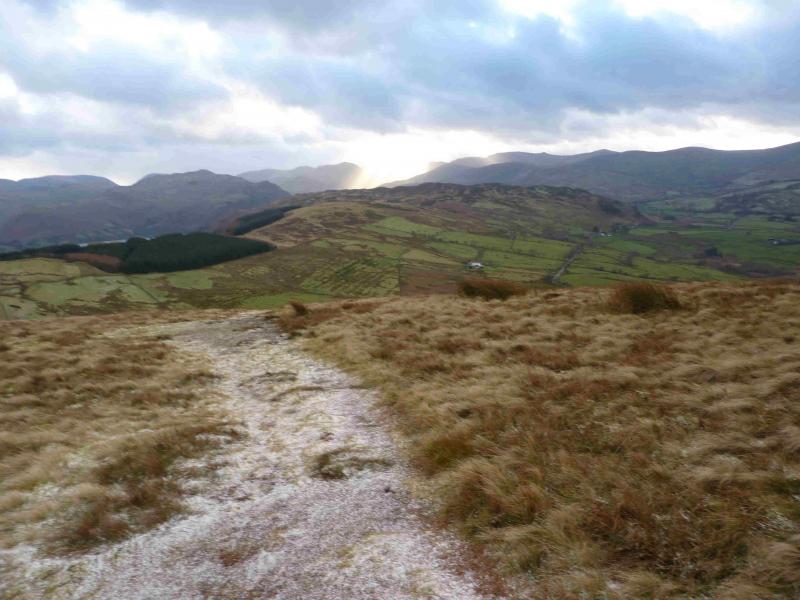
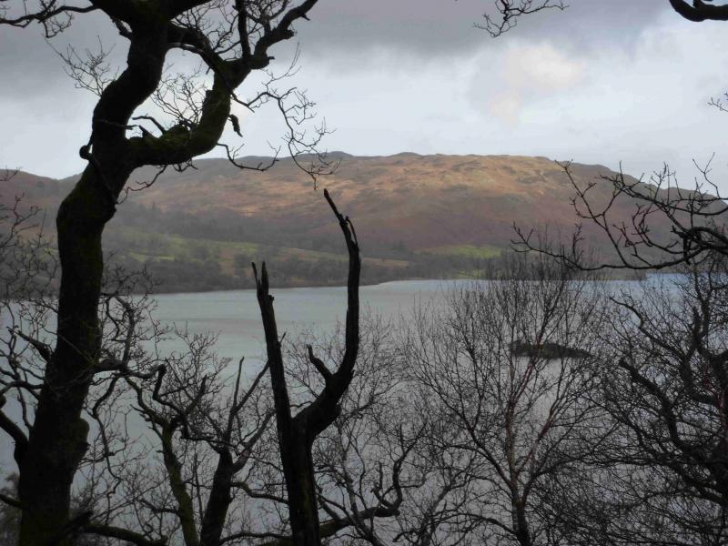
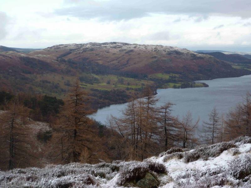
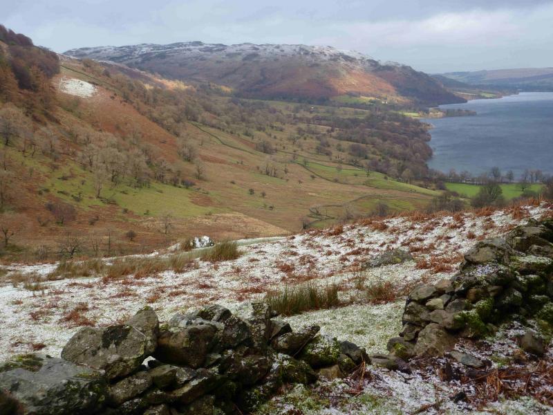
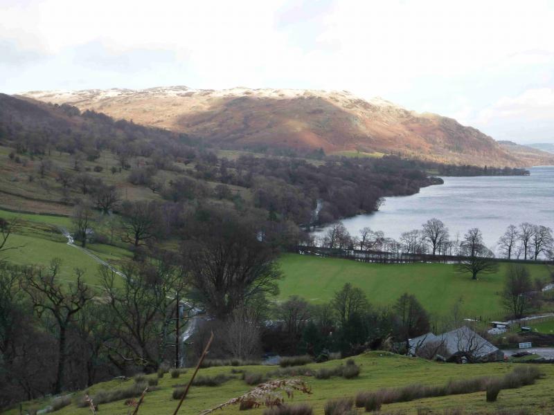
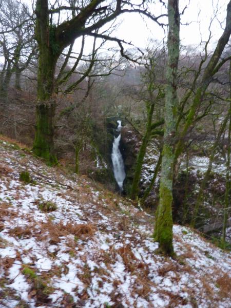
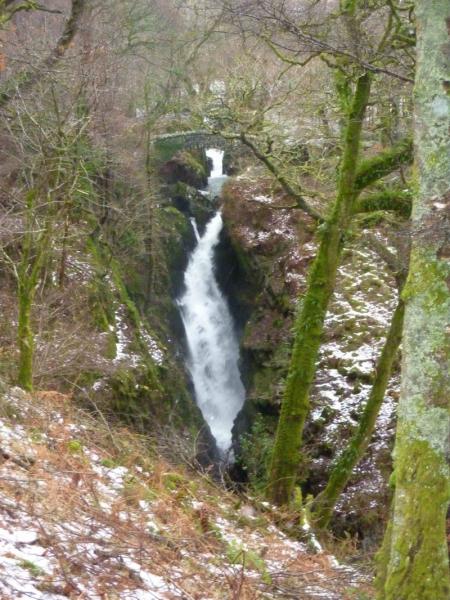
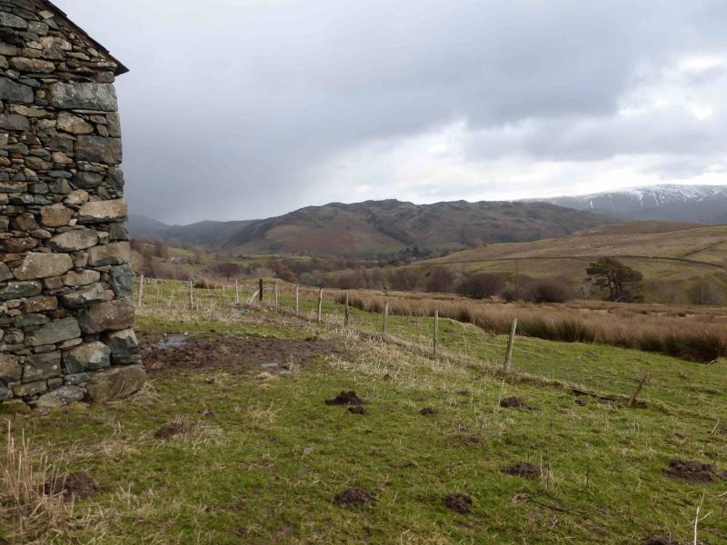
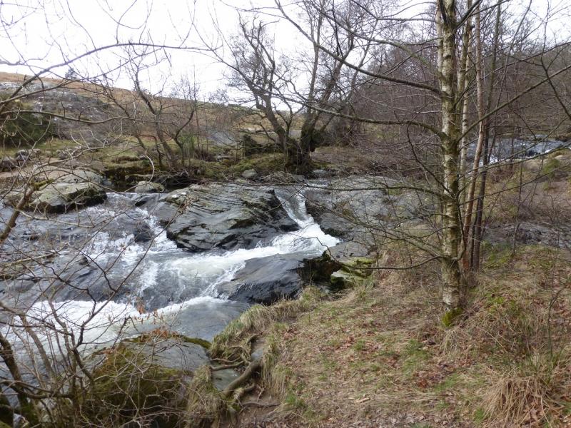
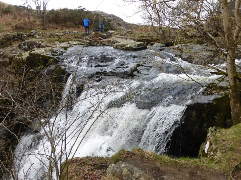
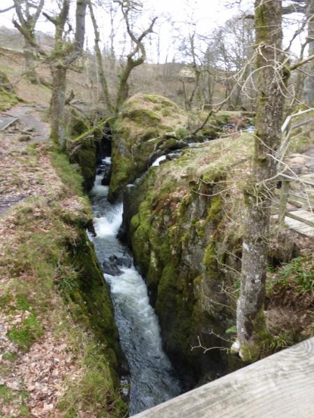
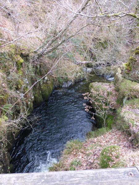
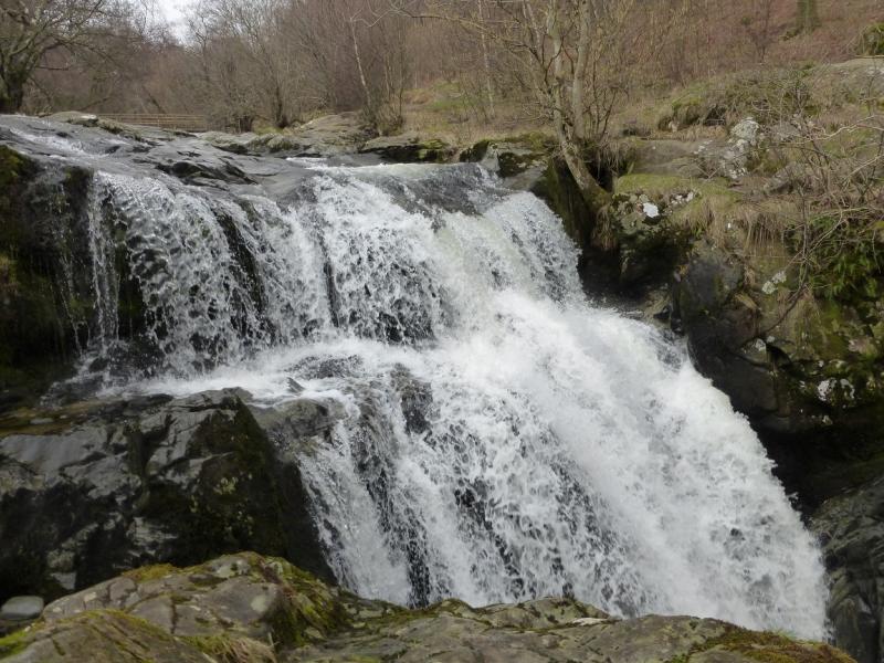
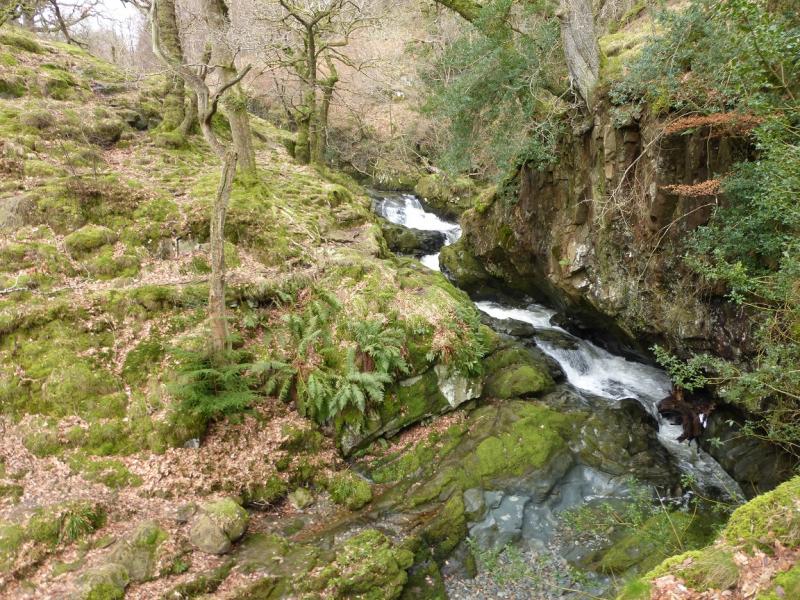
This is a shortish walk, ideal for a mid-winter's day although it can be challenging under winter conditions and is not for the inexperienced as some of the ascent slopes are quite steep and slippery under snow and ice. On a clear day, views are extensive and include Place Fell (across Ullswater), Glenridding Dodd and Sheffield Pike and others nearby. The route includes the most interesting sections of Aira Force Beck. This walk is best kept for a clear day to enjoy the views. The section alongside Aira Force Beck is best in winter as one can see much more of the beck and falls when there are no leaves on the trees.
Route
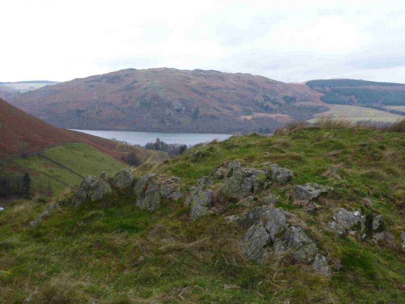
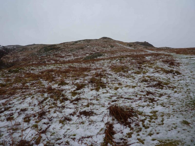
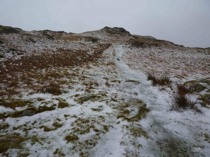
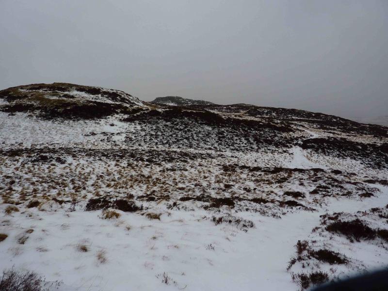
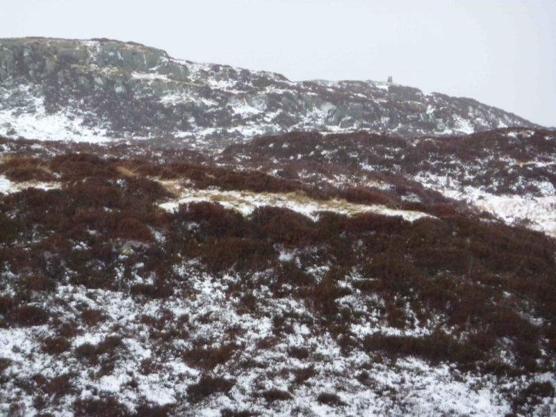
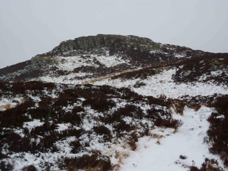
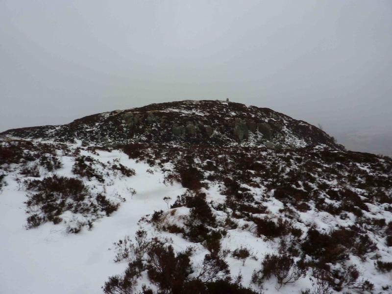
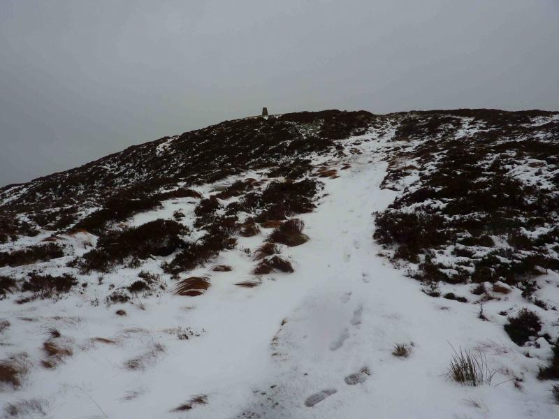
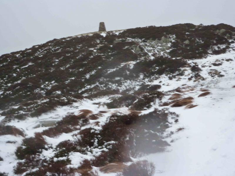
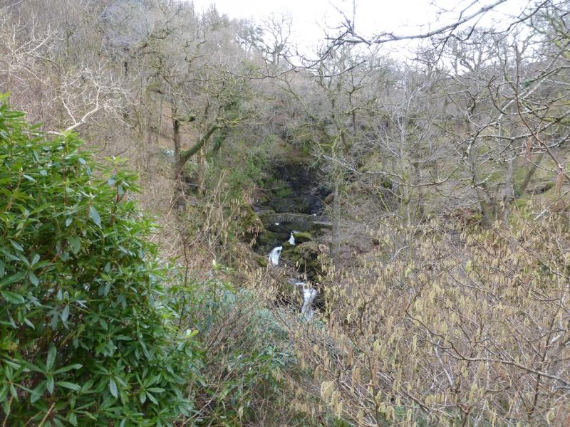
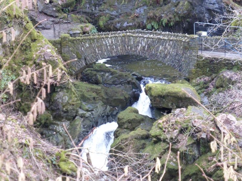
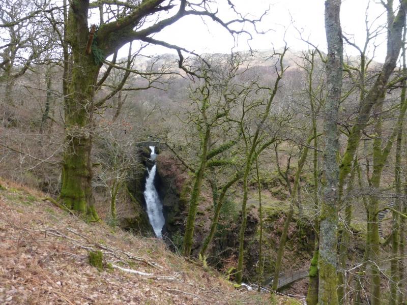
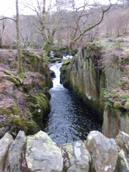
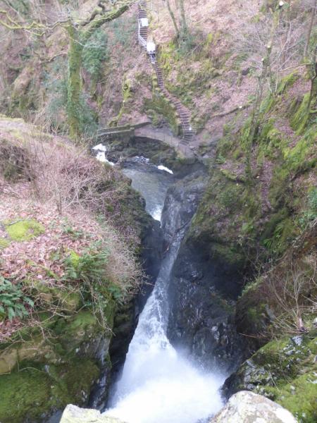
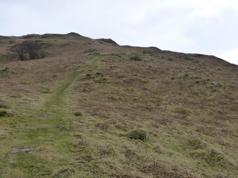
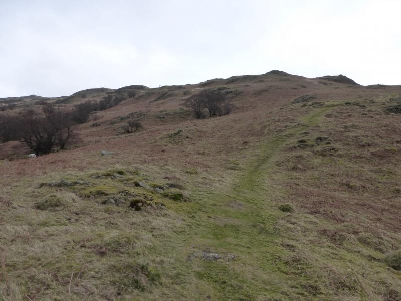
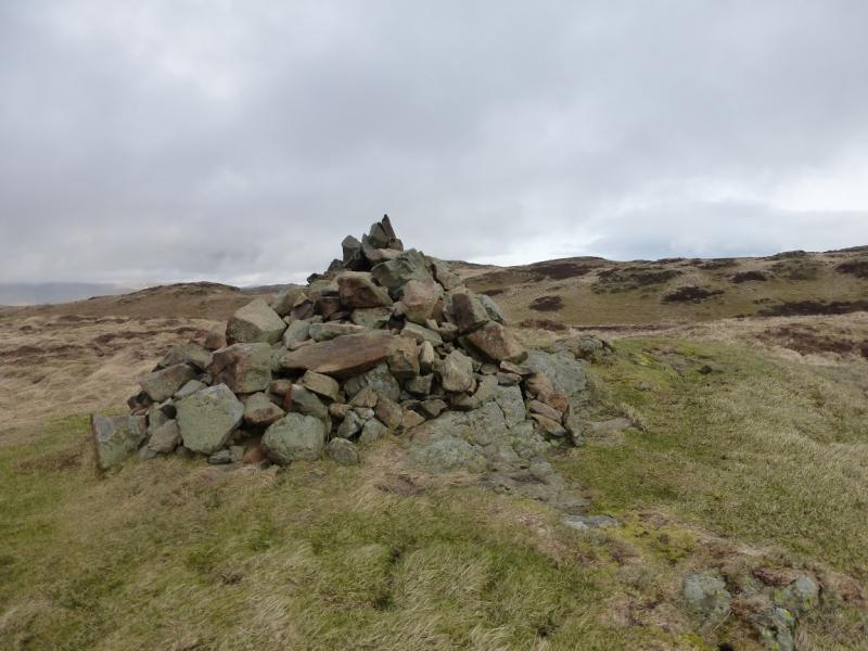
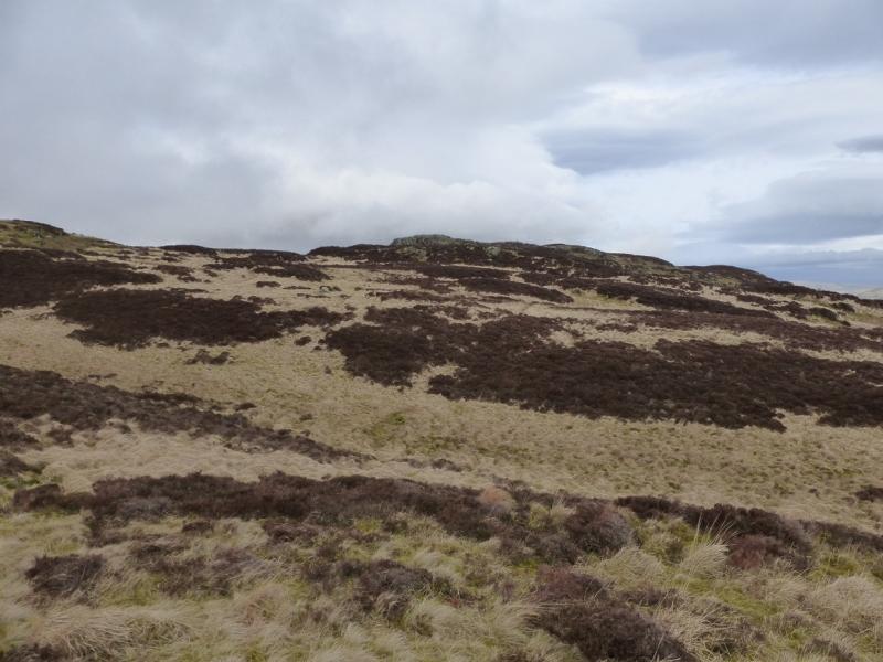
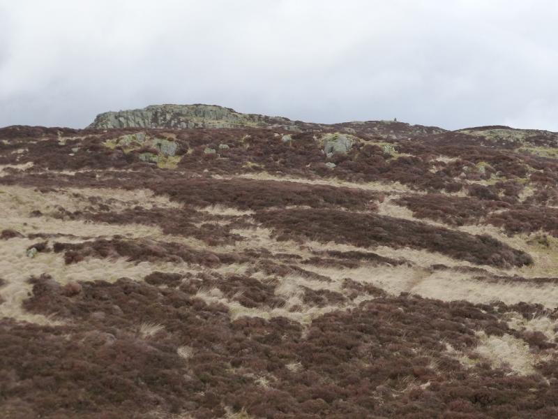
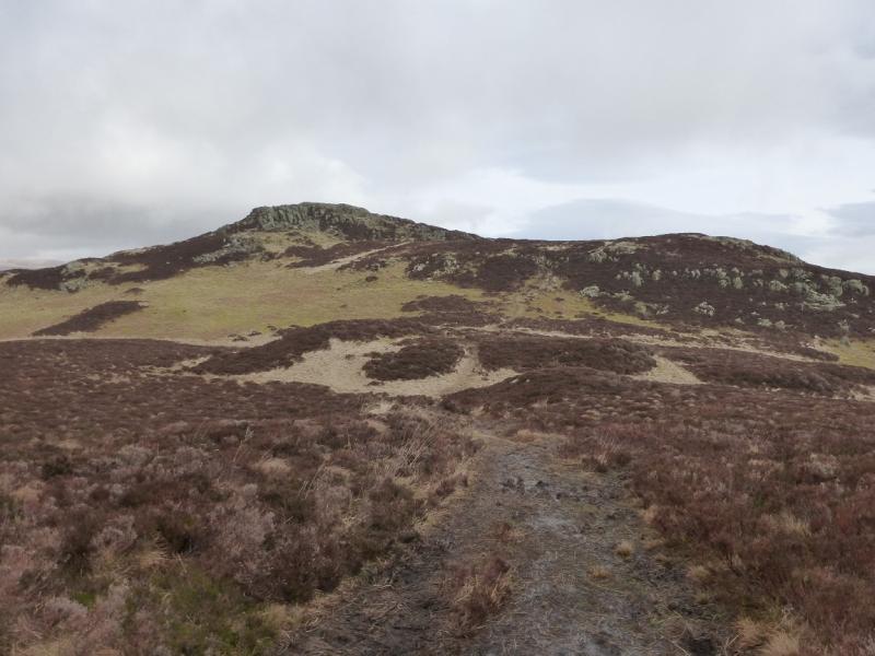
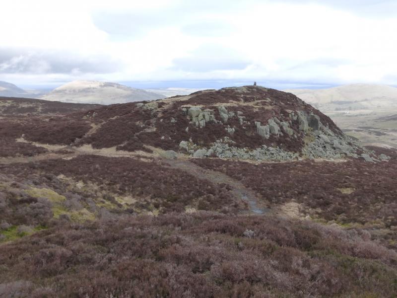
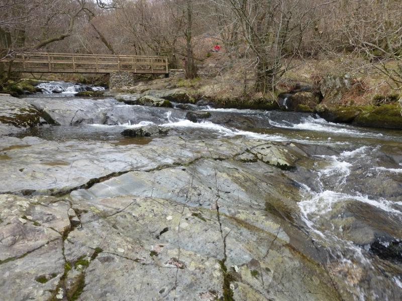
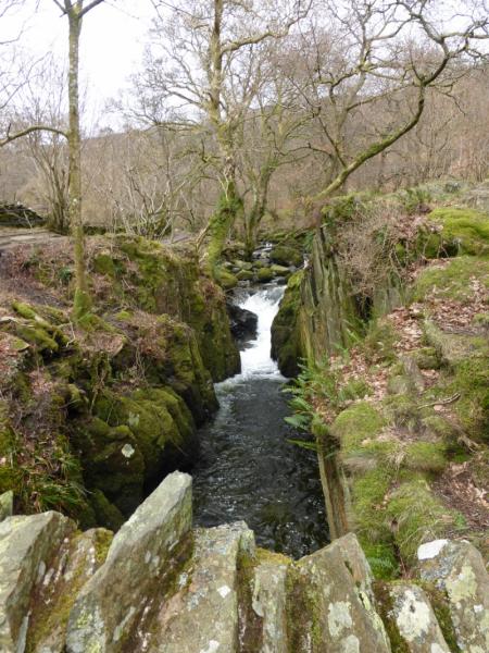
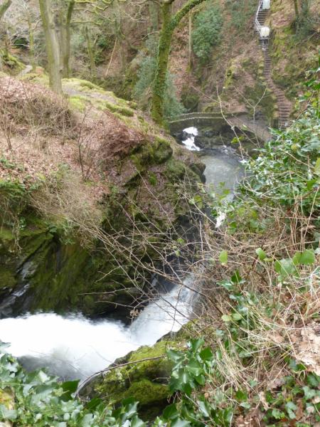
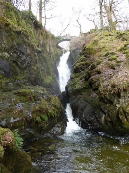
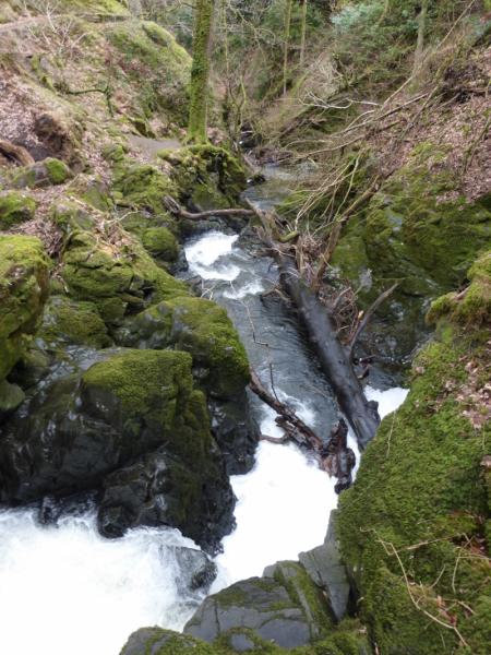
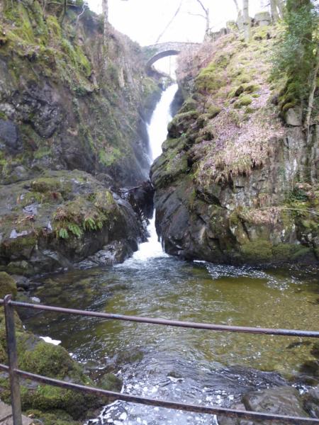
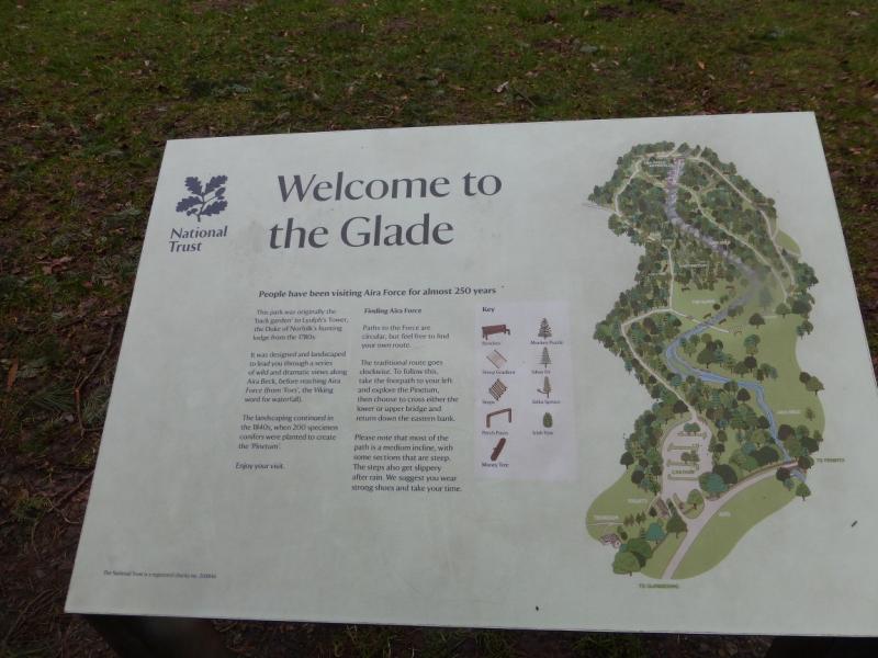
(1) From the bottom main car park, walk up the obvious path to reach a grassy area known as The Glade where there is a useful notice and map of the paths on both sides of Aira Force Beck. Take the path going left which soon follows the beck which will be on your right. Soon reach a stone bridge over the beck from where one can look up the impressive Aira Force main waterfall. Continue to the second stone bridge and cross overthen follow the path leading up away from the river in an easterly direction which soon breaks out of the trees at a gate. Follow this path up the W flank of the fell. It is very well defined but steep enough to be slippery in wet or wintry conditions. Higher up the angle eases and the path splits. The left fork is the more direct route to the summit. Take the right fork and follow it to reach a top with a large cairn. From here, walk roughly N with a choice of paths to rejoin the main path which is boggy in places. In effect, you are on an undulating plateau with many minor “bumps”. The summit sits just to the E, right, of the very prominent Airy Crag which is well seen from some distance. Once Airy Crag is reached, which is on the left of the path, one can either continue on the path then ascend easily to reach the trig point which marks the summit of Gowbarrow Fell, 481 m. Alternatively, leave the path and go left under Airy Crag and walk around it until a faint grassy path leads easily to the top of the crag. From here, the summit is very close across a small dip.
(2) Descend NW on an obvious path which soon reaches a stone wall. Follow the path, stepped in places, and wall down, passing a wood on the right, to a gate in the wall. Do not go through the gate but take the path going left which soon leads to the river at a long wooden bridge and can then be followed down on either side (bridges) to reach the old stone arch bridge then retrace the outward route back to the car park. It is well worth wandering up and down either side of Aira Force Beck to enjoy the views.
Notes
(a) This walk took place on 12th February, 2014, and 6th March, 2014.
Photos - Hover over photo for caption. Click on to enlarge. Click on again to reduce.