Get Lost Mountaineering
You are here: England » Lake District » 1 Eastern Fells
Hart Side, White Stones, Stybarrow Dodd, Watson's Dodd, Great Dodd & Clough Head from High Row
Hart Side, White Stones, Stybarrow Dodd, Watson's Dodd, Great Dodd & Clough Head
from High Row
Start/Finish
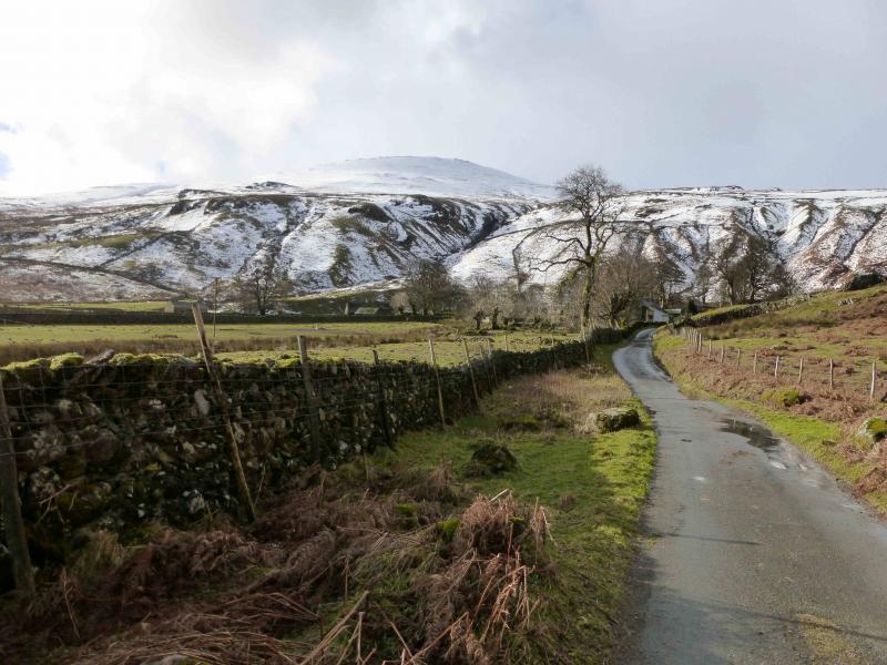
Rough car parks at right angle bend in the minor road near High Row. Drive to Dockray on the A5091 road from Troutbeck (on the A66 Penrith to Keswick road) to Ullswater. Turn off at Dockray for High Row where there are two rough car parks which can fill up at busy times.
Distance/Time
21 km About 6 - 7 hours
Peaks
Hart Side, 756 m, NY 359 198.
White Stones, 795 m, NY 352 187.
Stybarrow Dodd, 843 m, NY 343 189.
Watson's Dodd, 789 m, NY 336 196.
Great Dodd, 857 m, NY 342 206.
Clough Head, 726 m, NY 334 225. OS 1: 50 000 , Sheet 90.
OS 1: 25 000 Outdoor Leisure 5, English Lake District NE Area.
Introduction
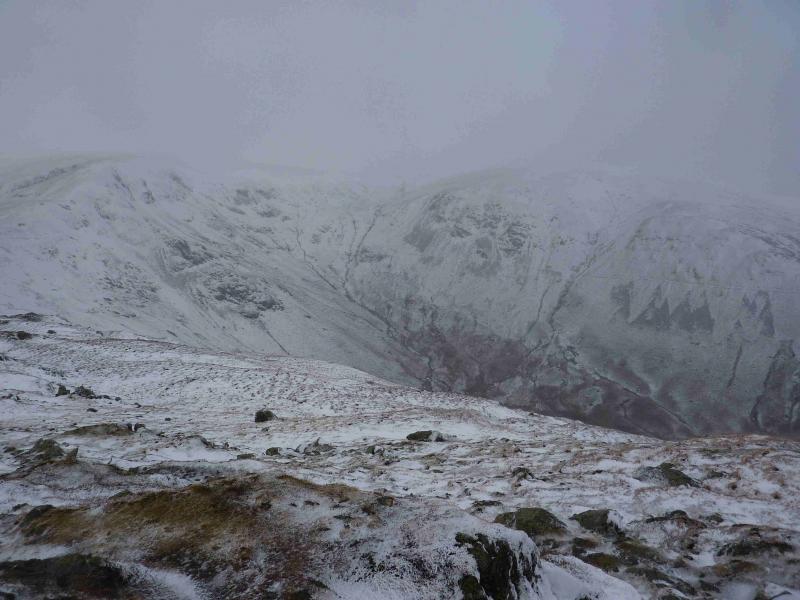
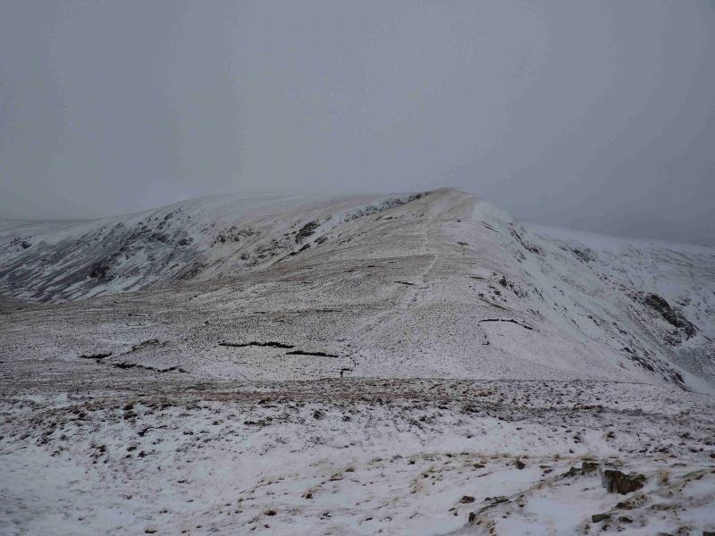
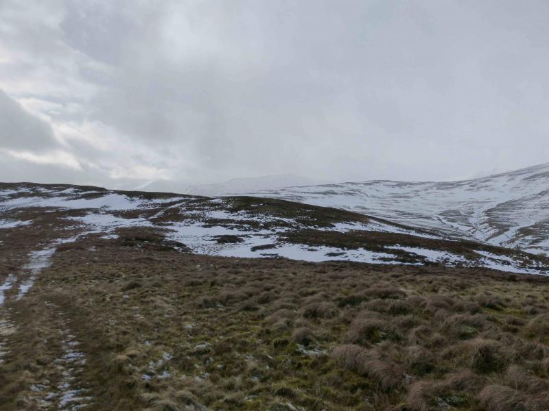
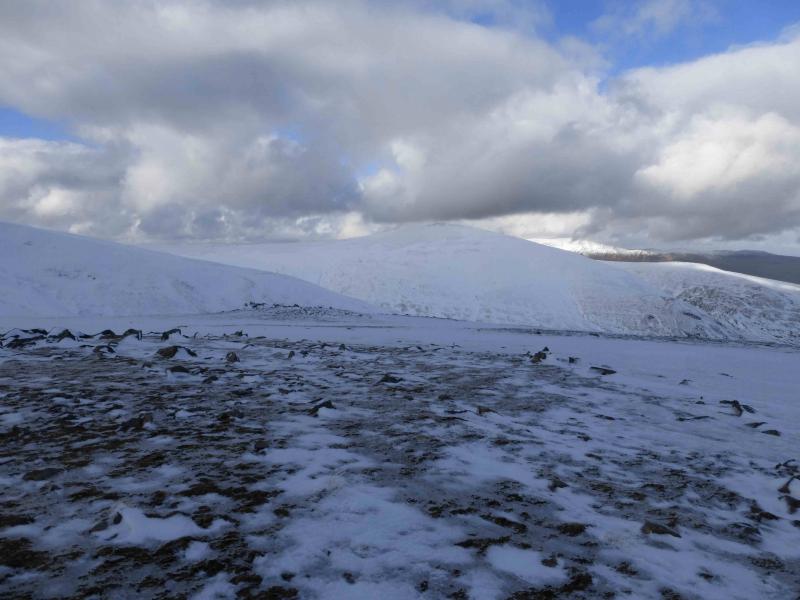
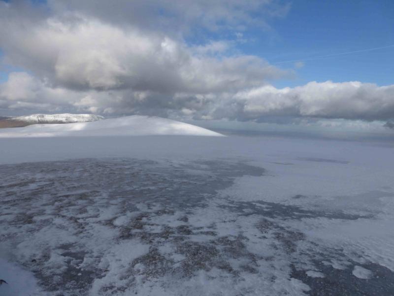
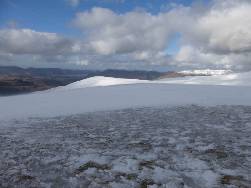
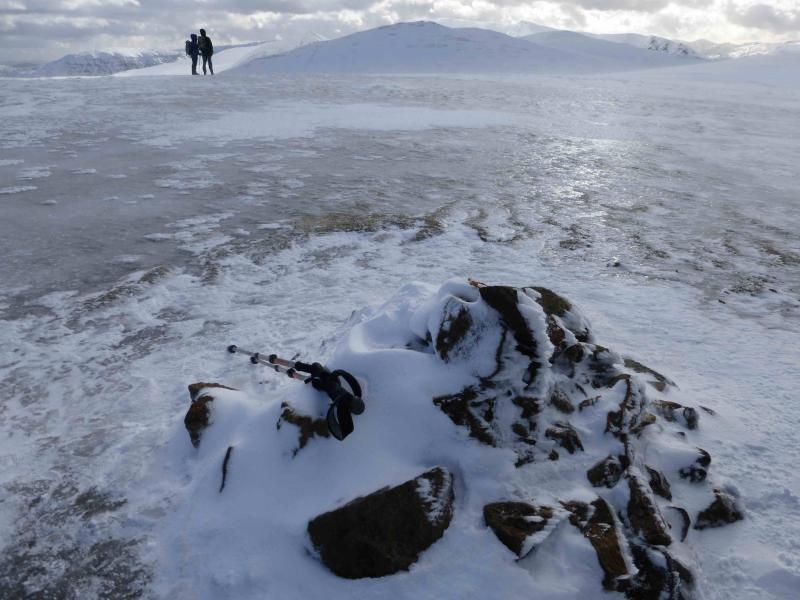
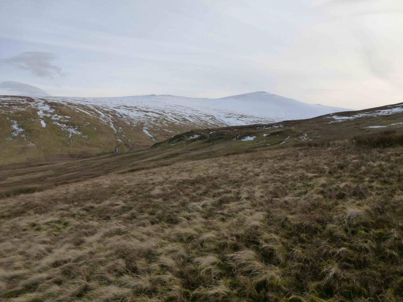
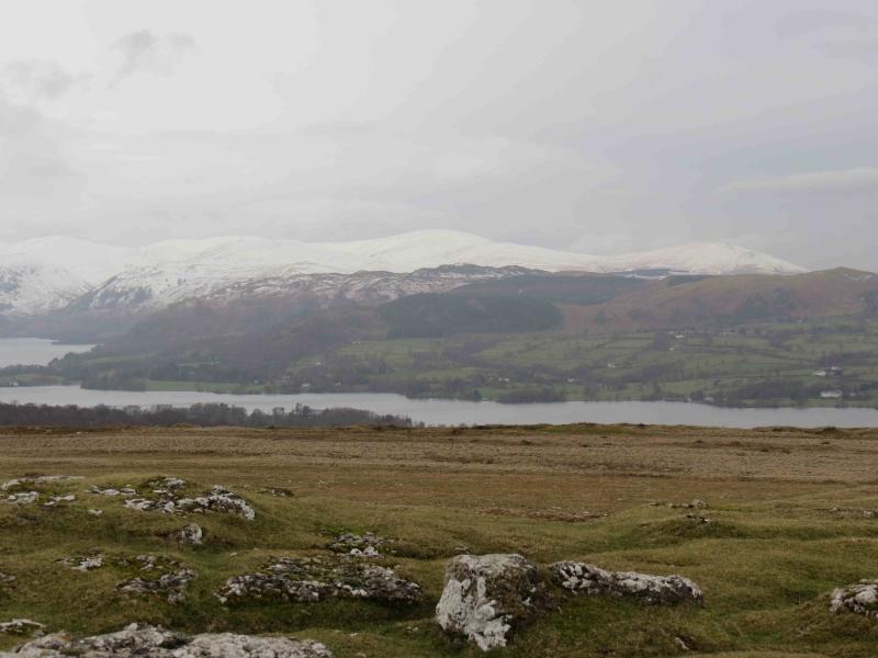
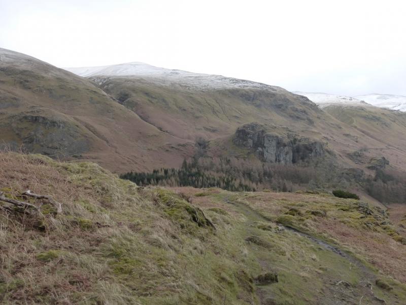
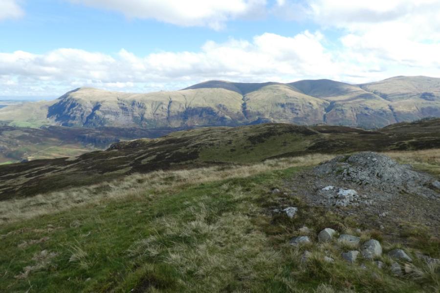
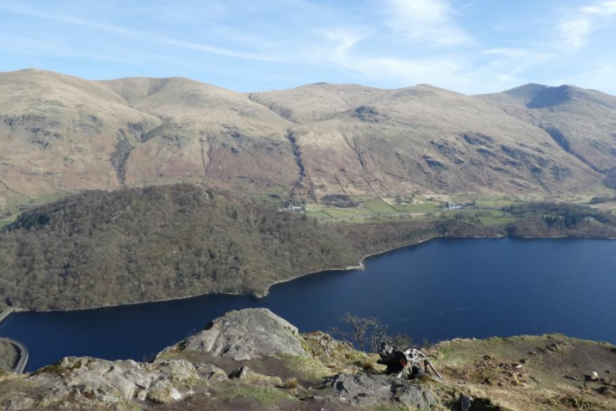
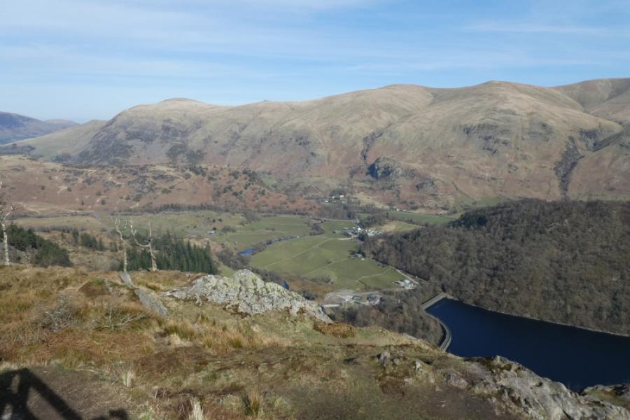
This is a tough walk, especially in winter conditions where ice axe and crampons would be needed, but the hills are pleasant and the views are superb especially to Catstye Cam and Helvellyn, Skiddaw, Blencathra Grisedale Pike range and many more including Cross Fell. Navigation is simple in clear weather but not so obvious in mist and especially so in wintry conditions where paths are hidden by snow.
Route
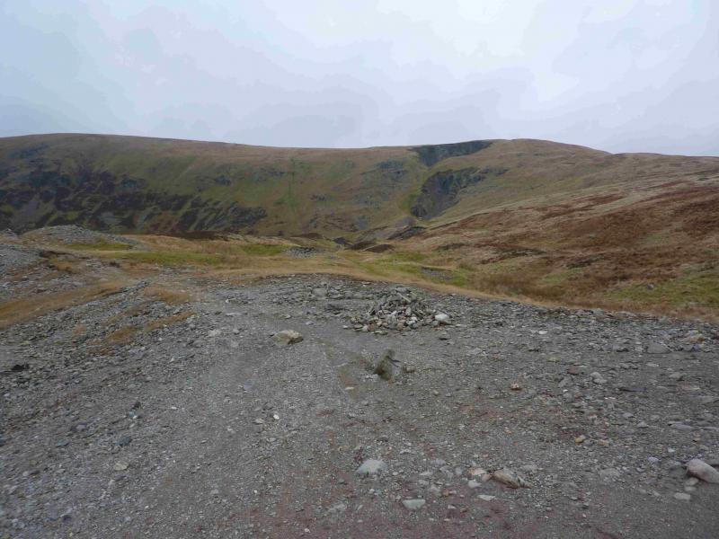
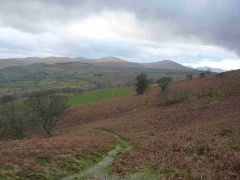
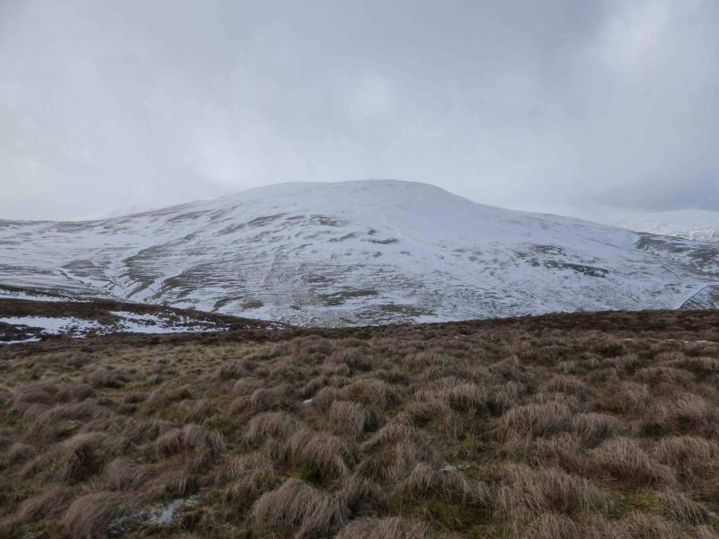
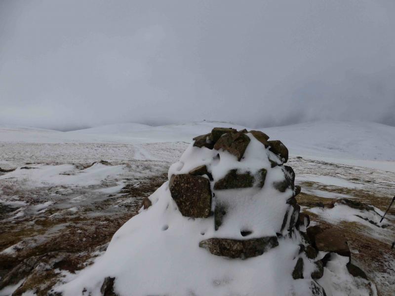
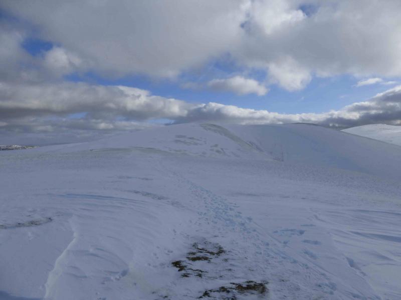
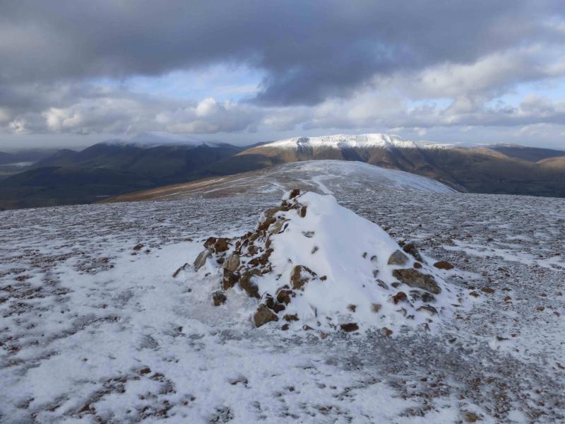
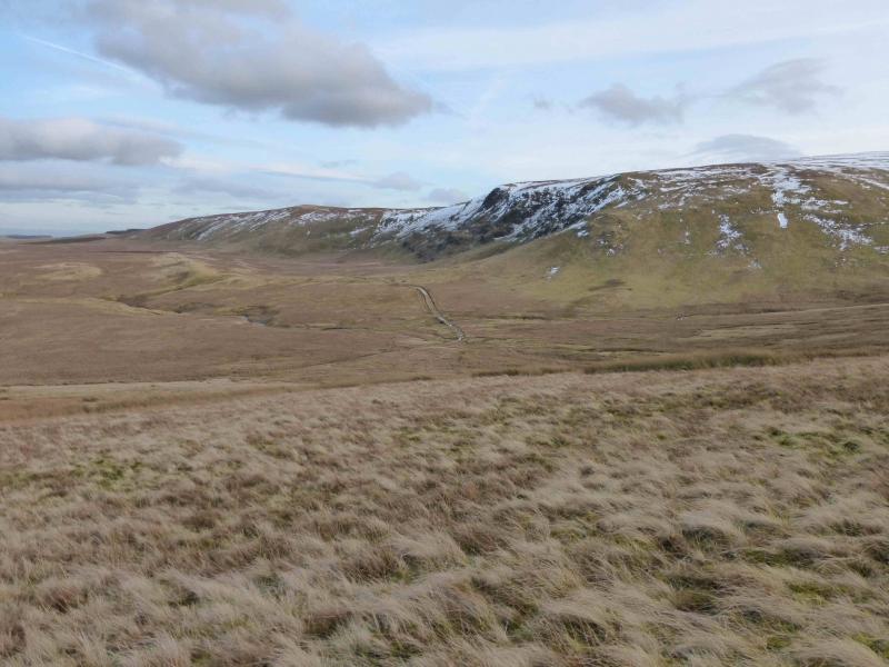
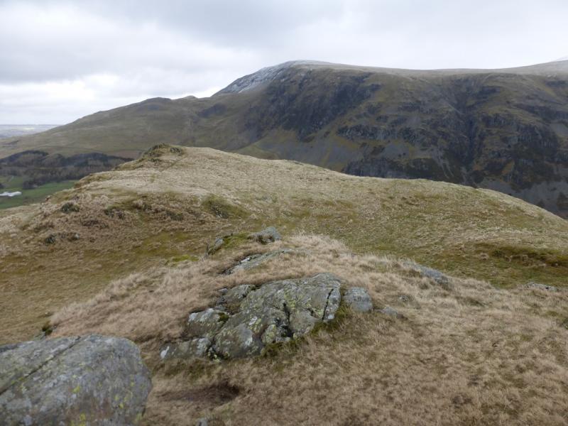
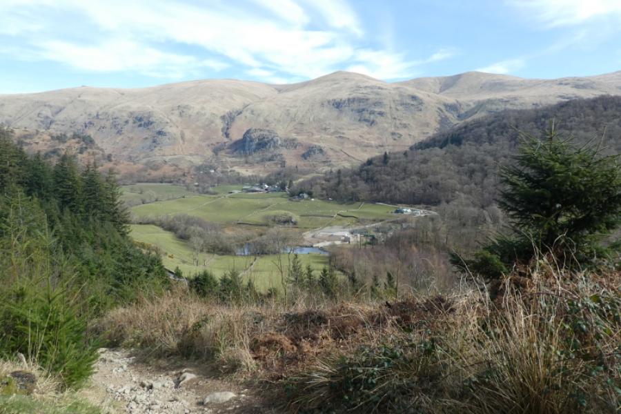
(1) From the car park, walk along the minor road towards Dowthwaite Head. At the fork go right and soon reach Dowthwaite Head where a track on the left goes to a sign post. Go SE and cross Aira Beck by a footbridge. Follow the footpath, roughly S, carefully otherwise you may have to climb over walls! It can be too tempting to follow a track going E. Once clear of the last wall, it is suggested that you ascend SE on to the broad crest of Watermillock Common where there is a grassy/peaty track. There are good views from this crest. Follow the track W until the long straight wall, going NW up Birkett Fell is met. Follow the wall up on to the crest whose NE end is known as Birkett Fell although it is really just a shoulder. There is a cairn but no properly defined summit. From here, ascend gentle slopes WNW, on a path, to reach a medium cairn which marks the summit of Hart Side, 756 m. Note that there are other cairns around which may be confusing in mist.
(2) Descend a little heading SW to a broad high col then continue before curving around to the W to reach a medium cairn which marks the summit of White Stones, 795 m. There are other cairns here as well.
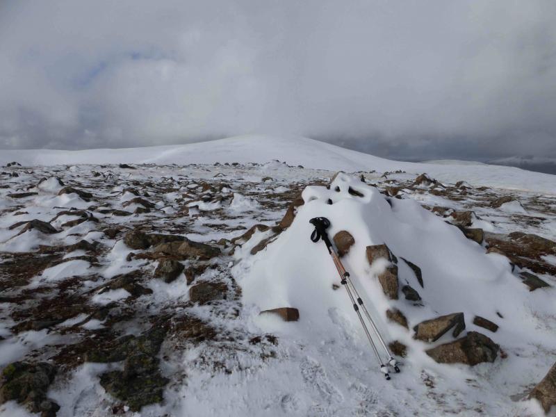
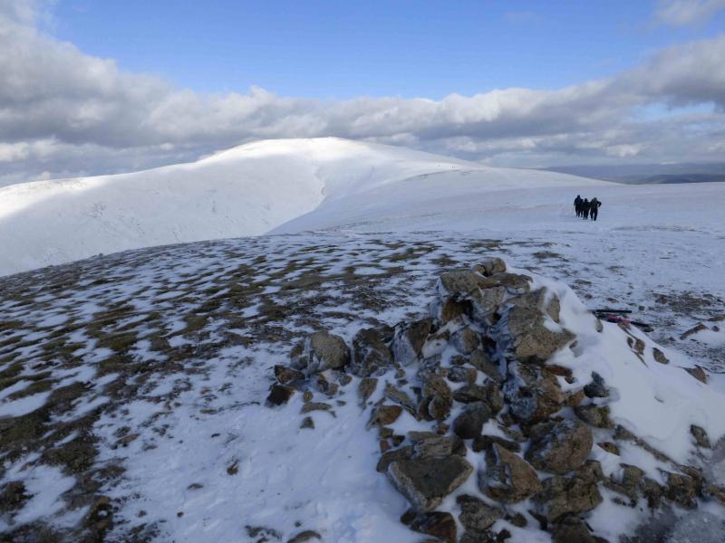
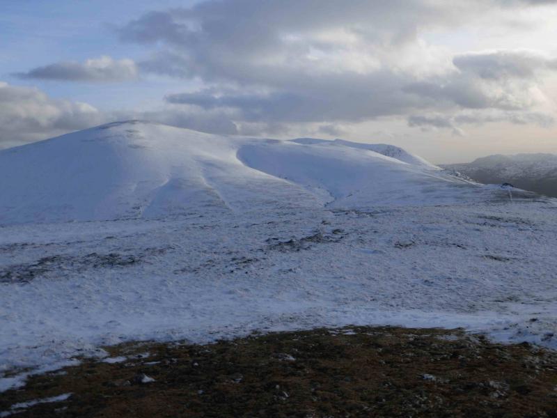
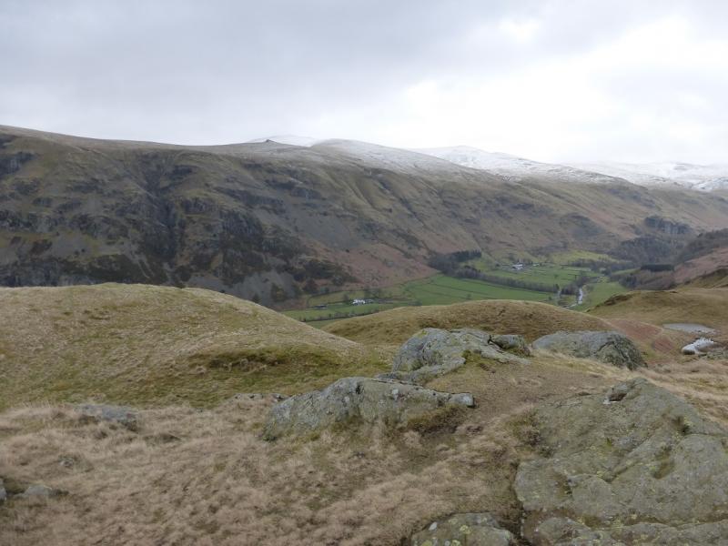
(3) Walk W, descending slightly to a broad col then ascend gentle slopes, curving around to the N, to reach the medium cairn which is the summit of Stybarrow Dodd, 843 m.
(4) Descend NNW then W to reach a broad col followed by a short gentle ascent to reach the medium cairn which is the summit of Watson's Dodd, 789 m. This is more of a shoulder than a separate peak.
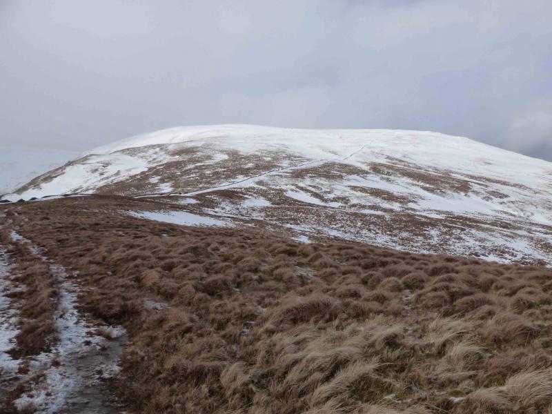
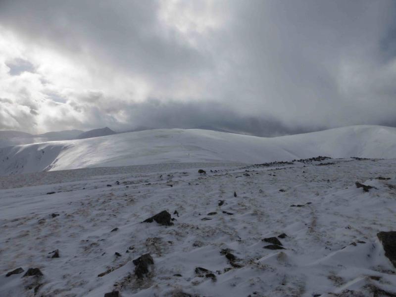
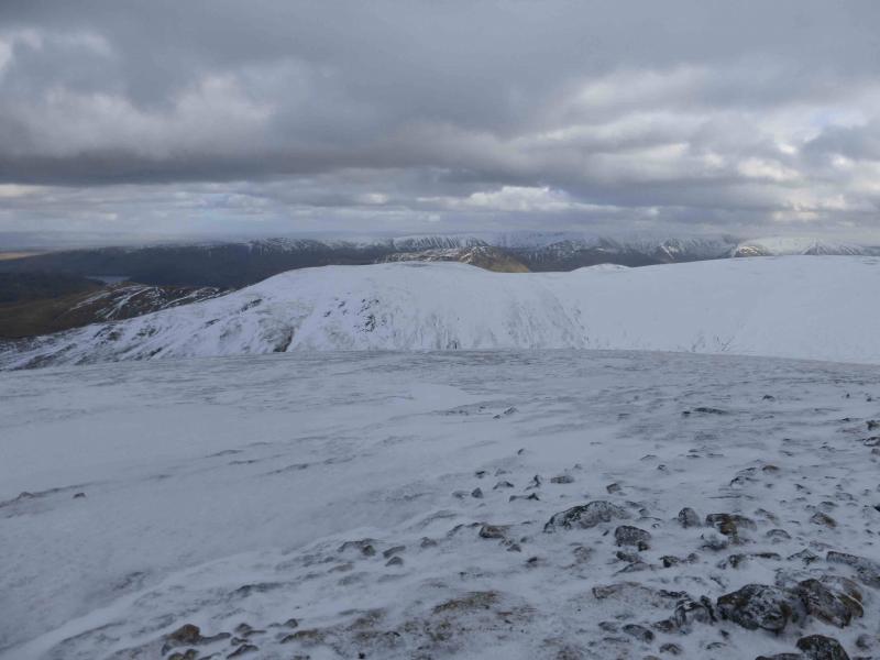
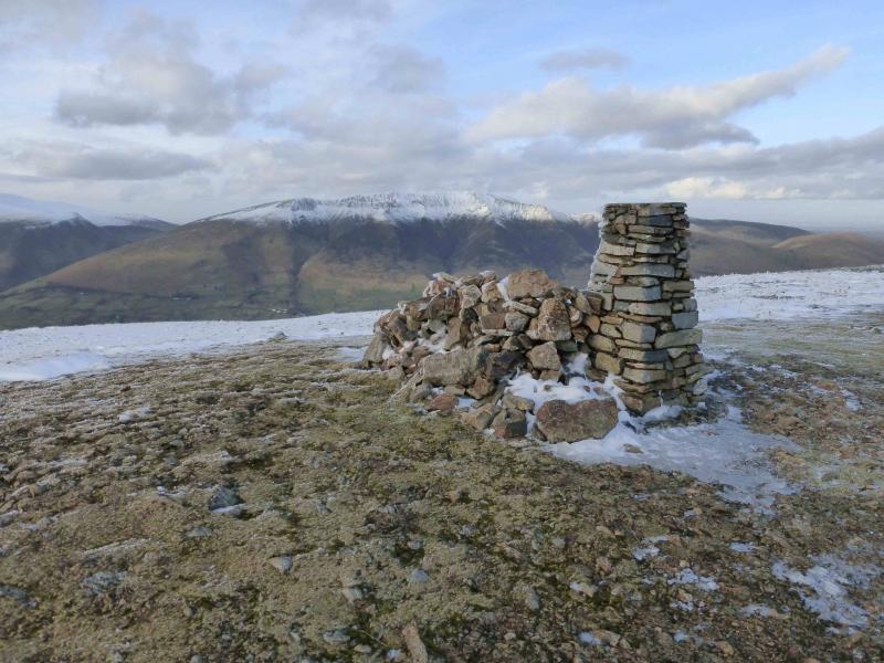
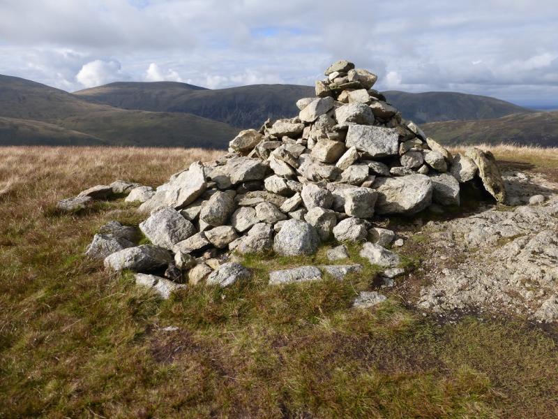
(5) Walk NE, with hardly any descent then ascend some way, on gentle slopes, to reach a large shelter cairn. Turn NNW and soon reach a large cairn which is the summit of Great Dodd, 857 m. This is the highest point of the walk.
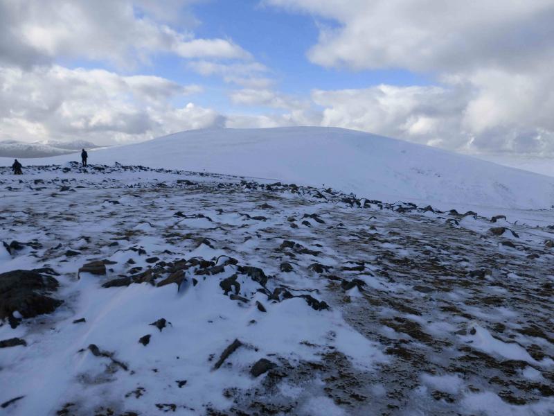
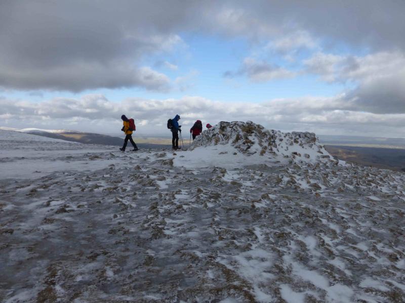
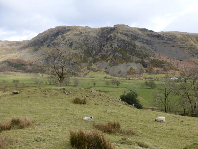
(6) Descend NW down a long gentle slope then ascend a very short distance to Calfhow Pike which has a cairn and is quite rocky on its N side. Descend slightly then ascend a long slope, slightly E of N, to reach the large cairn and trig point (joined together) which is the summit of Clough Head, 726 m.
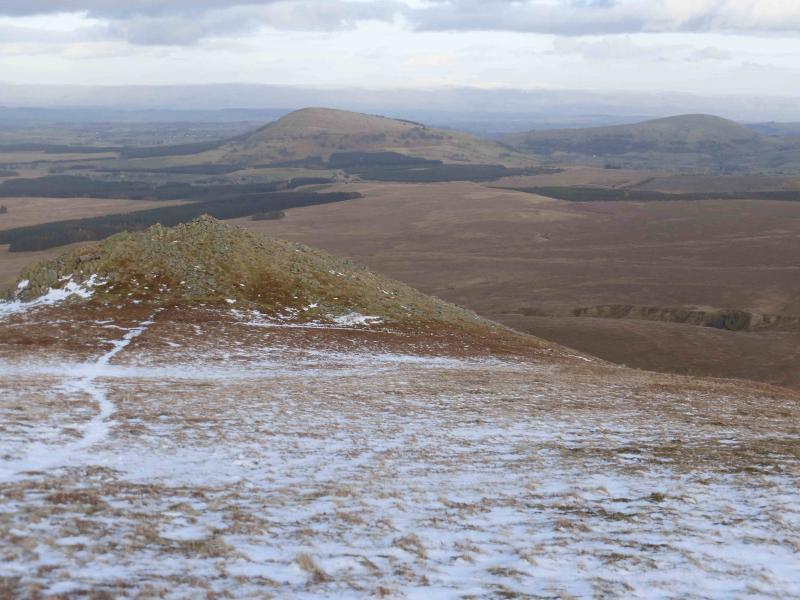
(7) Continue along the crest, descending then with a short ascent to reach White Peak which is quite a rocky peak. Continue NNE down a ridge which is quite stony and rocky at first but gradually becomes more grassy and leads down to the Old Coach Road which is now a track. Follow the track easterly for about 5 km back to the start.
Notes
(a) This walk took place on 16th February, 2014, after heavy snowfall.
Photos - Hover over photo for caption. Click on to enlarge. Click on again to reduce.