Get Lost Mountaineering
You are here: England » Peak District » Kinder, Mam Tor ridge, Rushup Edge, Brown Knoll & Win Hill from Edale
Kinder East via Golden Clough & Ringing Roger from Edale Village
Kinder East via Golden Clough & Ringing Roger from Edale Village
Start/Finish
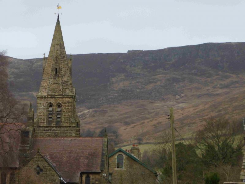
Edale village car park which, coming from Hope, is on the Edale road just before the turn off to Edale village. The turn off for Edale from Hope, from The Hathersage to Castleton road, A625, is not that obvious and easy to miss. It is a right turn opposite a chuch on the left on the eastern end of Hope. The car park is expensive but there are toilet facilties.
Distance/Time
9 km About 3 - 4 hours
Peaks
Kinder East Trig Point, 590 m, SK 129 878. OS 1:50 000 Sheet 110.
OS Outdoor Leisure 1: Dark Peak.
Introduction
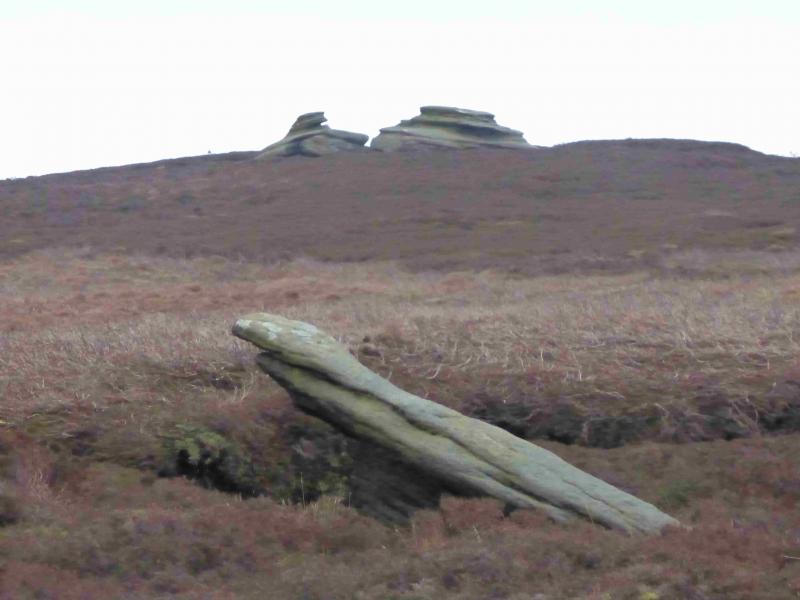
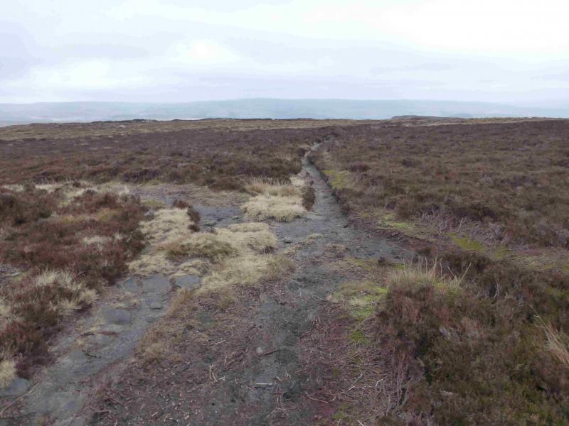
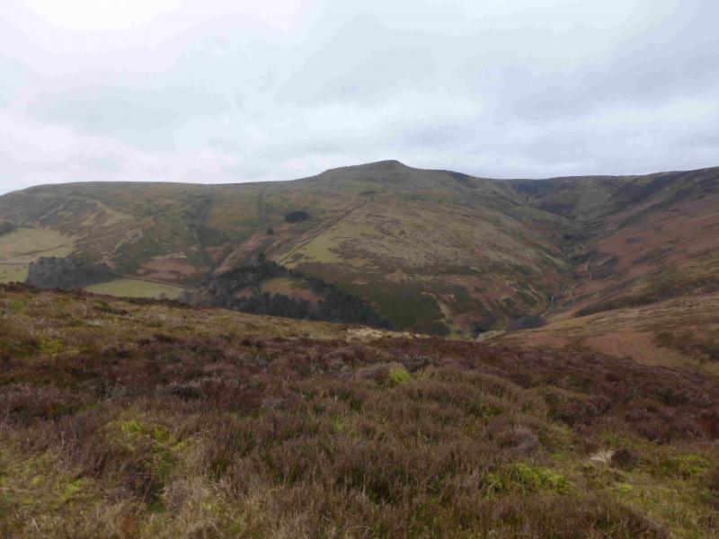
This is a short and reasonably pleasant walk which allows part of the eastern end of the Kinder plateau to be explored. The plateau is quite narrow at this end so the route takes in part of both the southern and northern edges giving good views in both directions which include the Mam Tor ridge, Higher Shelf Stones, Bleaklow, Alport Ridge and the Derwent Edge. Being Kinder, the going can be boggy in places but Golden Clough and Ringing Roger are much drier than the plateau. The trig point used to sit in the middle of a bog but slabs are currently being laid around it to ease access. As the Kinder plateau is quite featureless, this walk is best kept for a clear day. It is even better in a cold snap when the ground, and bog, is likely to be frozen. The ground can also improve considerably in a sustained summer dry spell. Walking up the road towards Edale village puts Nether Tor in direct line of vision. From a distance, this resembles a steam engine similar to that in the pioneering wild west.
Route
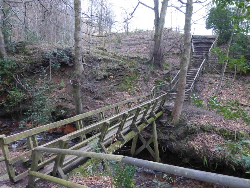
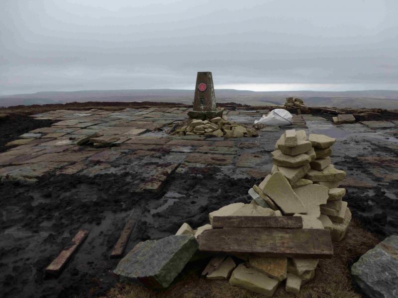
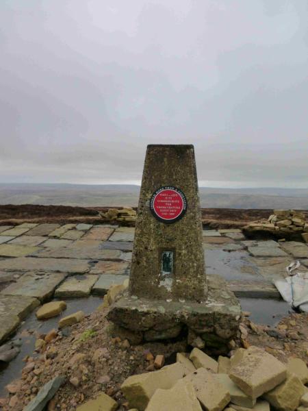
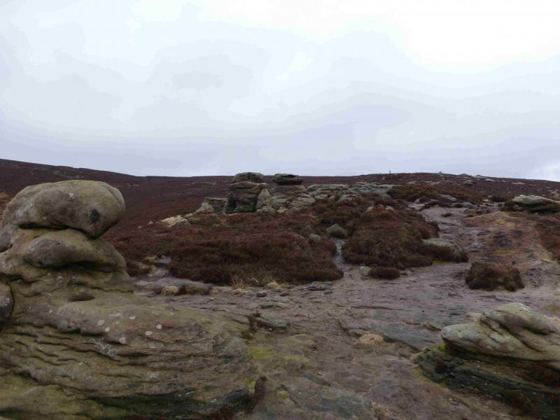
(1) From the car park, walk up the minor road into Edale village passing under the railway and past the church. At the Nag's Head, go straight as far as is allowed until a sign directs one down to a narrow bridge over a stream. Continue on the other side to a stone shed where the path splits. Take the lower left fork and follow it to another small bridge at the foot of Golden Clough which is on the right. The Pennine Way up Grinds Brook goes straight ahead. Do not cross the bridge but take the path up Golden Clough keeping the stream on your left. The path can be a little boggy in places but does improve with height. There is a huge cairn near the top of the clough. When the ground levels out, it can be tempting to follow the gruffs at the top of Golden Clough but these are likely to take you away from the trig point as they trend NW. It is probably best to head NE from the top of Golden Clough; the trig point will soon come into view. Unfortunately, the intervening ground can be wet and boggy but there are hints of paths which lead to Kinder East Trig Point, 590 m. The area around the trig point is currently being slabbed to make access easier. There was a Scout plaque on the trig point on 23/2/14.
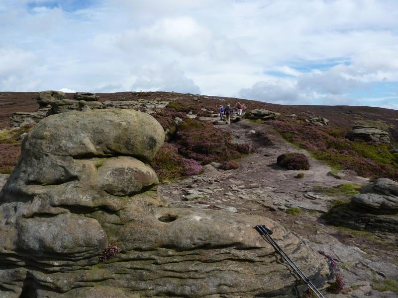
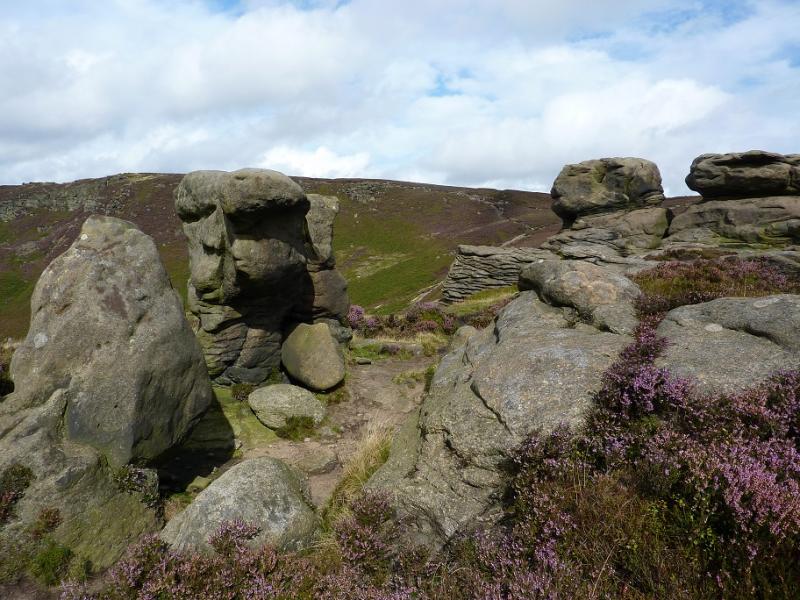
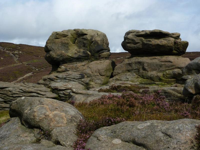
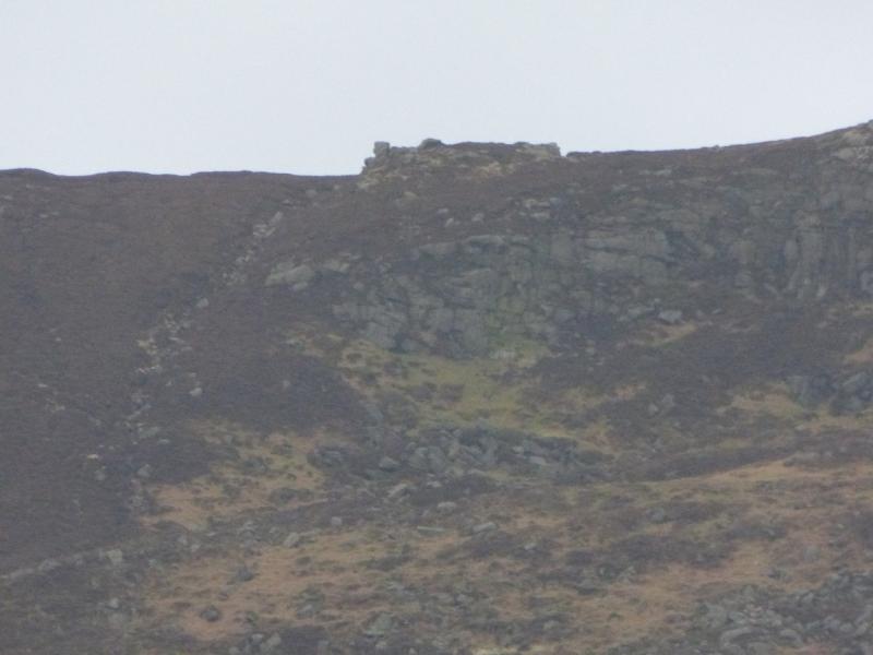
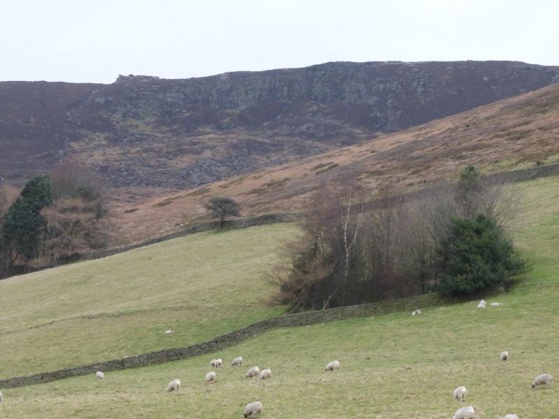
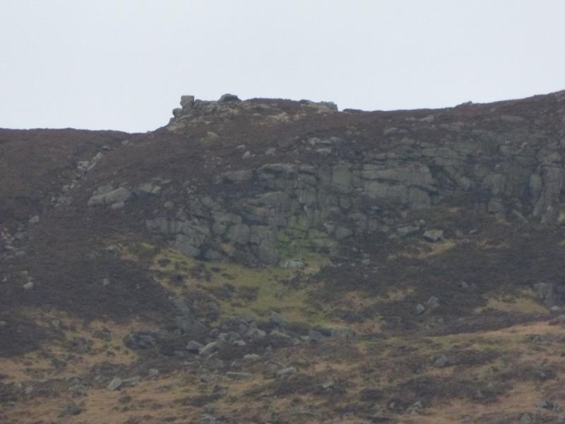
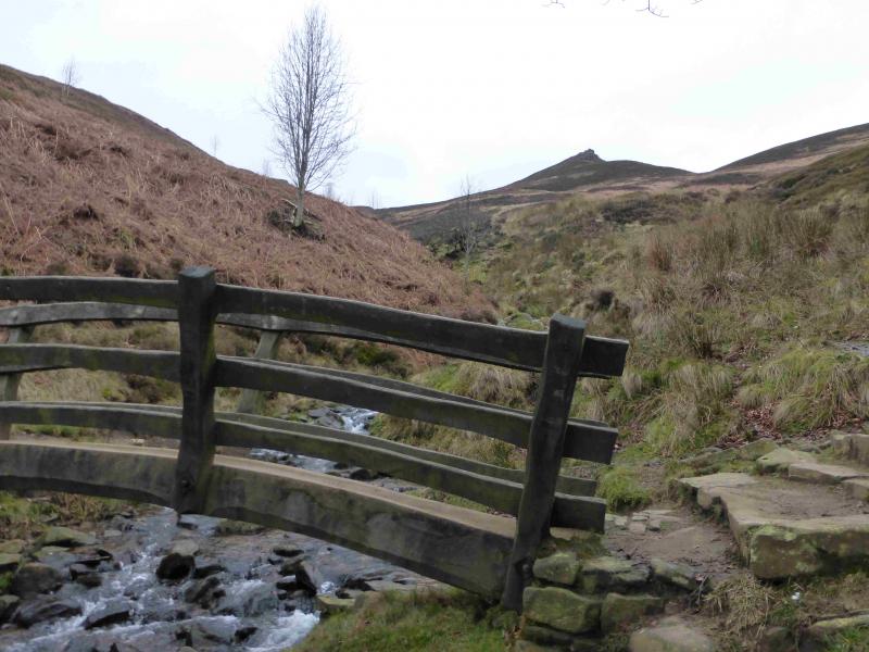
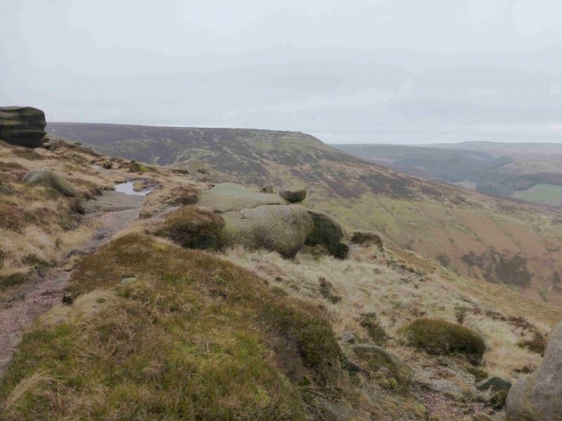
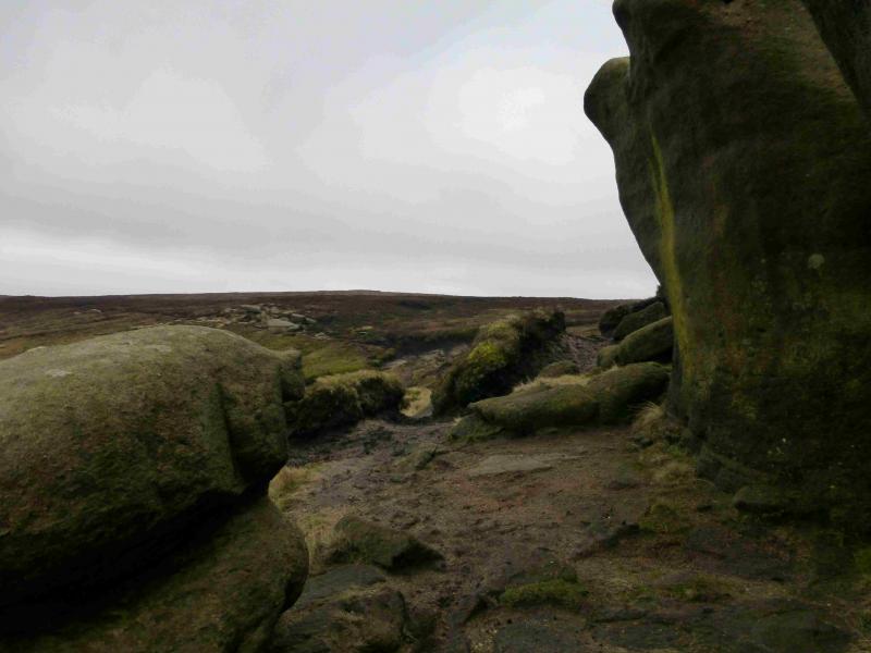
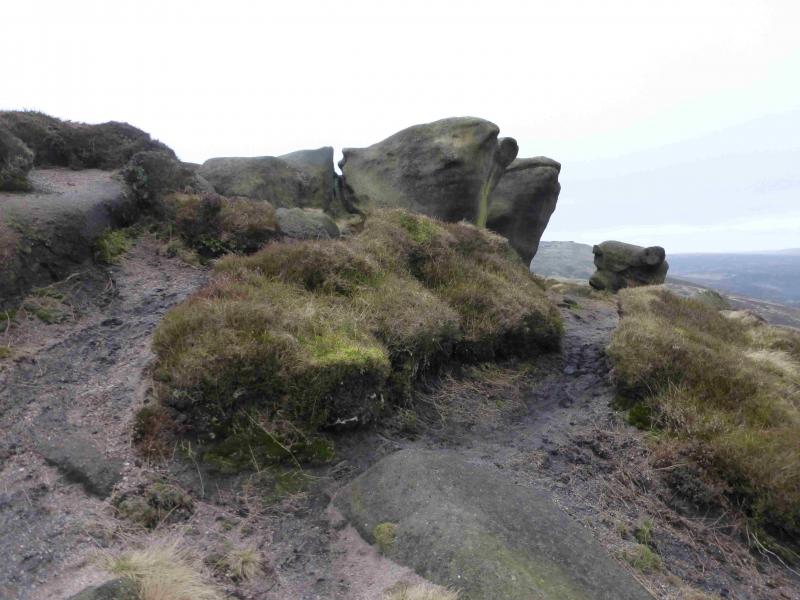
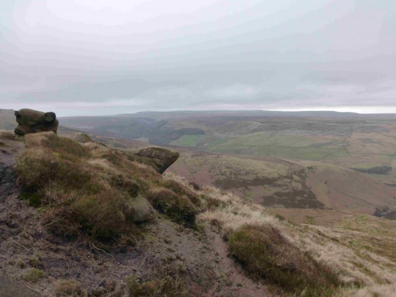
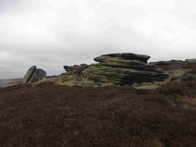
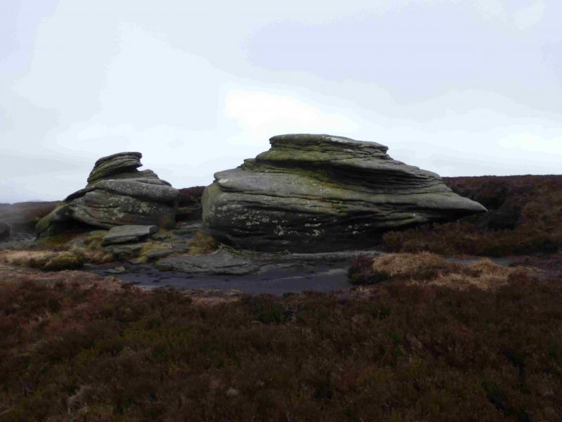
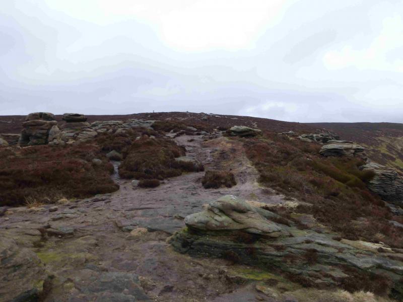
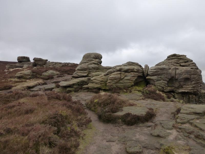
(2) There is not much shelter here so head N to NW across the plateau, with a hint of a path, to reach the obvious path on the northern edge. Follow this W for a few hundred metres to reach an obvious outcrop which should provide enough shelter for a stop. Retrace back along the edge path, across some boggy dips, to reach a diagonal crossroads of paths. Turn right and soon reach Madwoman's Stones which is an outcrop about 30 m long. The trig point should be visible from here with a smaller outcrop in between. Continue to this smaller outcrop then on to the trig point; there are some boggy areas on the way. Walk S to reach the path on the southern edge and follow it W. You should approach a fenced area with a stile but do not enter it. Walk on the S side of the fence on a good path. Depending on your approach, you may reach a fence running N – S which leads to a corner, and the stile, where it turns W as above. Follow the obvious path, gently descending SW, to reach a series of rocky outcrops. This is Ringing Roger.
(3) Continue down what is now a fairly well defined ridge. It is easy to weave around the outcrops or one can scramble over them. The path descends down to meet a more obvious path coming from the N. Follow this S, towards The Nab, but just before descend right down some zig-zags to the valley and rejoin the outer route at the stone shed.
Notes
(a) This walk took place on 23rd February, 2014.
Photos - Hover over photo for caption. Click on to enlarge. Click on again to reduce.