Get Lost Mountaineering
You are here: England » Lake District » 1 Eastern Fells
Gavel Pike, St. Sunday Crag, Birks & Arnison Crag from Bridgend
Gavel Pike, St. Sunday Crag, Birks & Arnison Crag
from Bridgend
Start/Finish
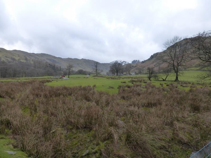
Bridgend (telephone box) on the A592 from Kirkstone Pass to Ullswater. Bridgend is about 1 mile S end of Patterdale. Parking is very limited so if none is available, you may have to park at Cow Bridge (NW corner of Brothers Water) or Patterdale.
Distance/Time
13 km About 5 - 6 hours
Peaks
Gavel Pike, 784 m, NY 373 134
St. Sunday Crag, 841 m, NY 369 134.
Birks, 622 m, NY 380 144.
Arnison Crag, 433 m, NY 394 149. OS 1: 50 000, Sheet 90.
OS 1: 25 000 Outdoor Leisure 5, English Lake District NE Area.
Introduction
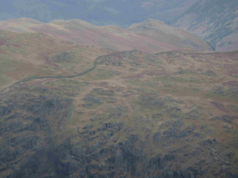
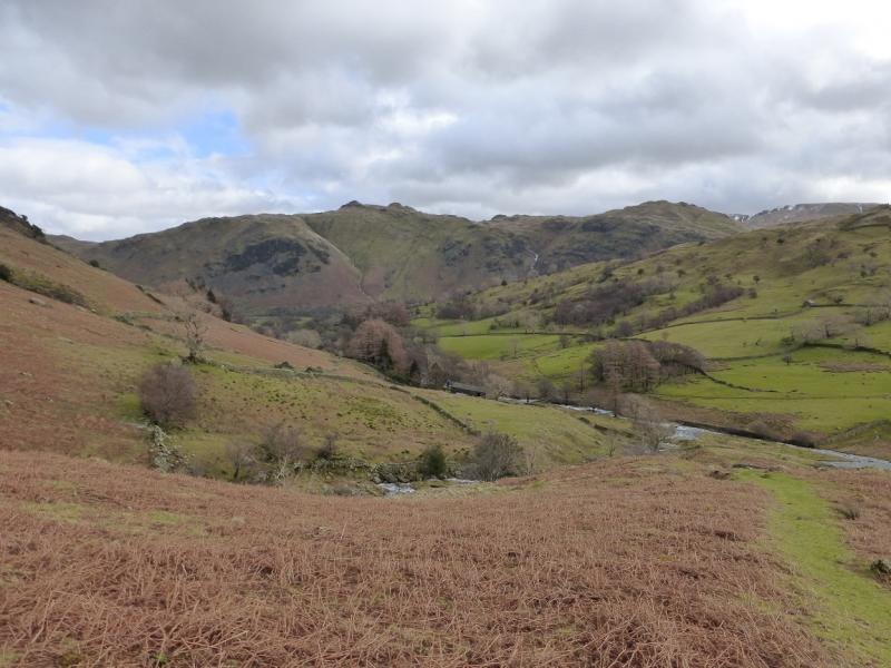
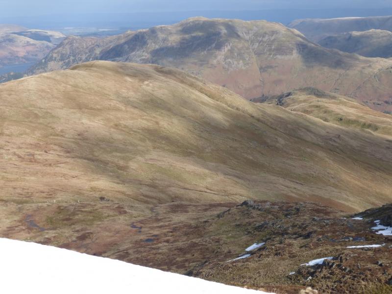
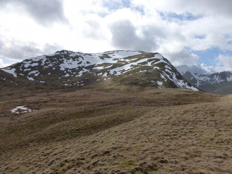
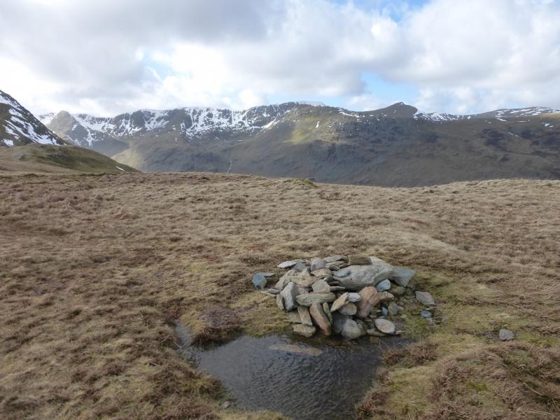
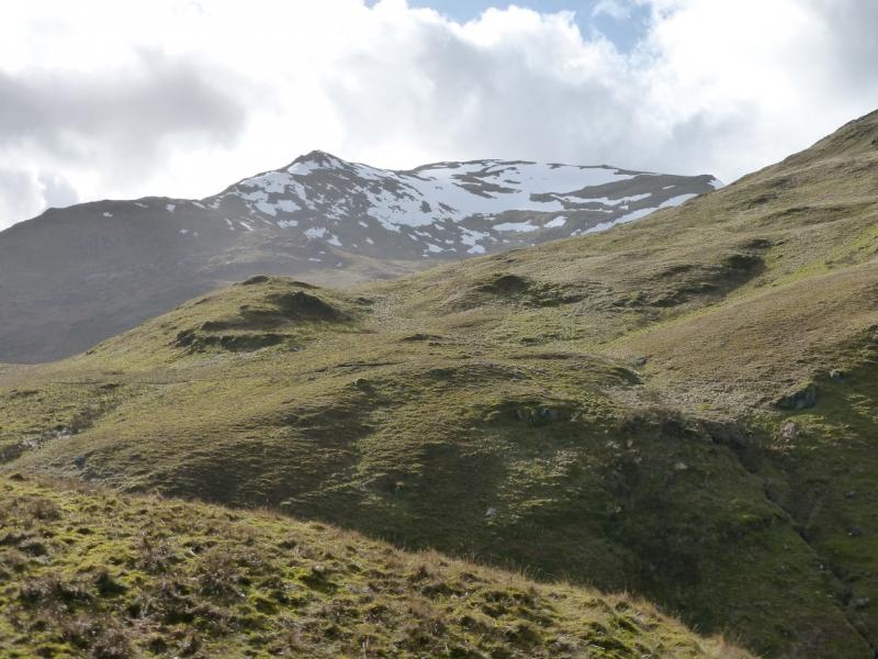
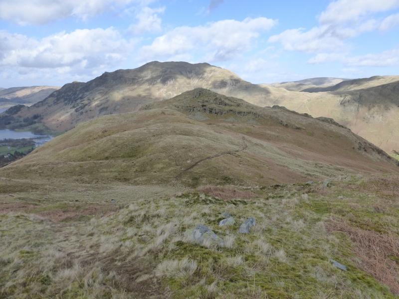
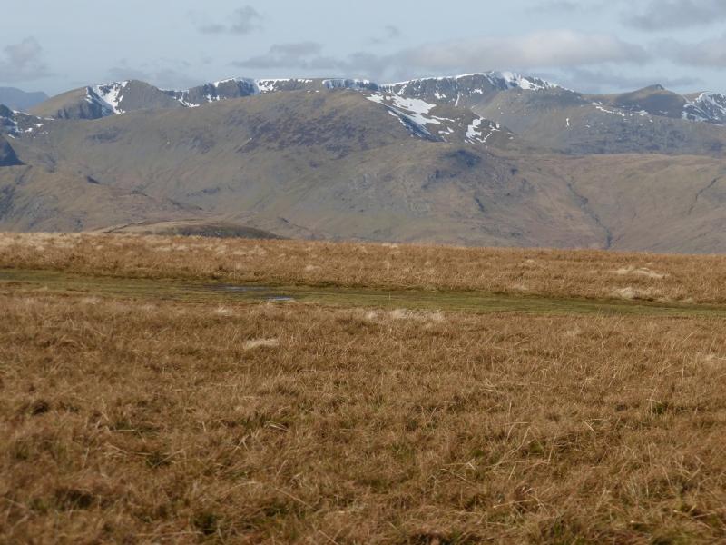
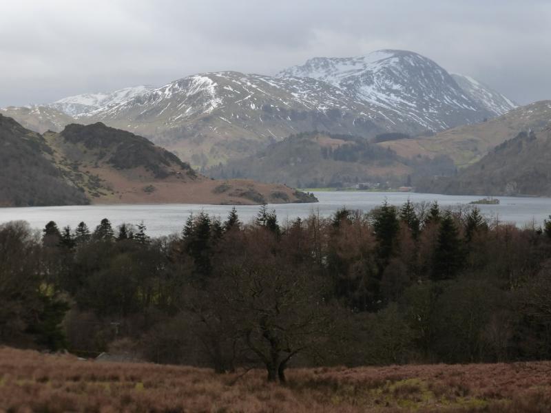
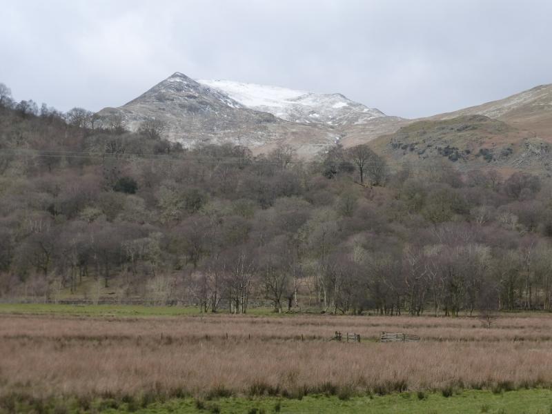
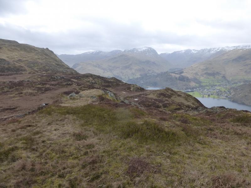
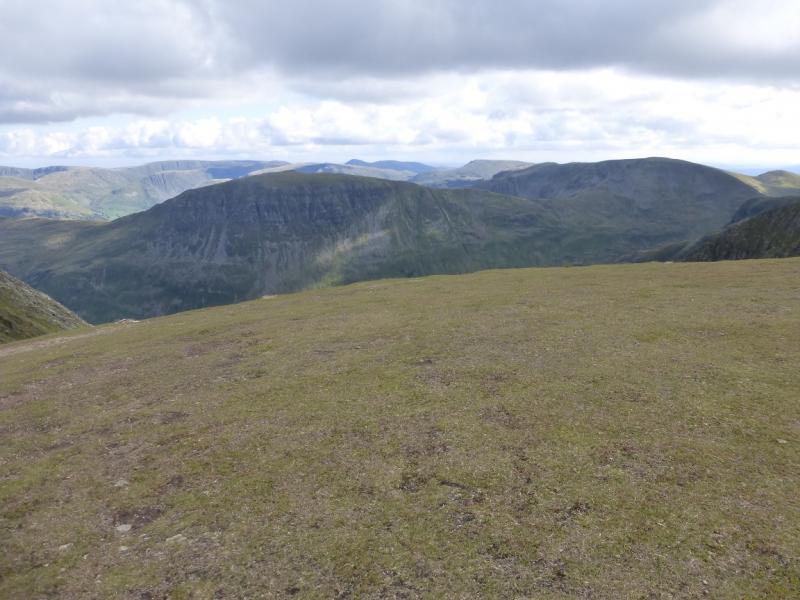
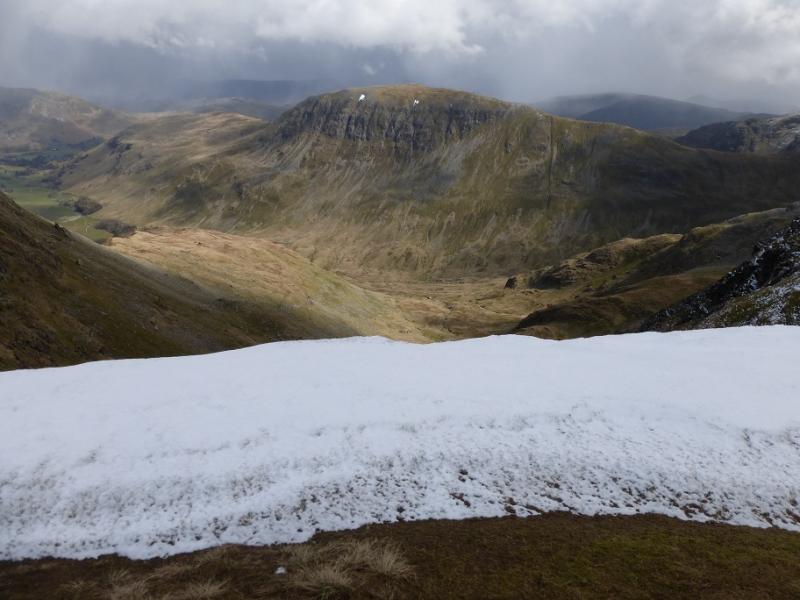
This is a tough walk but short enough for a mid-winter's day although, in winter conditions, it is only for the experienced. There are excellent views of Ullswater, Place Fell, Hartsop Dodd, Sheffield Pike, Hartsop Above How, Dove Crag, Hart Crag, Fairfield, Helvellyn and Catstye Cam.
Route
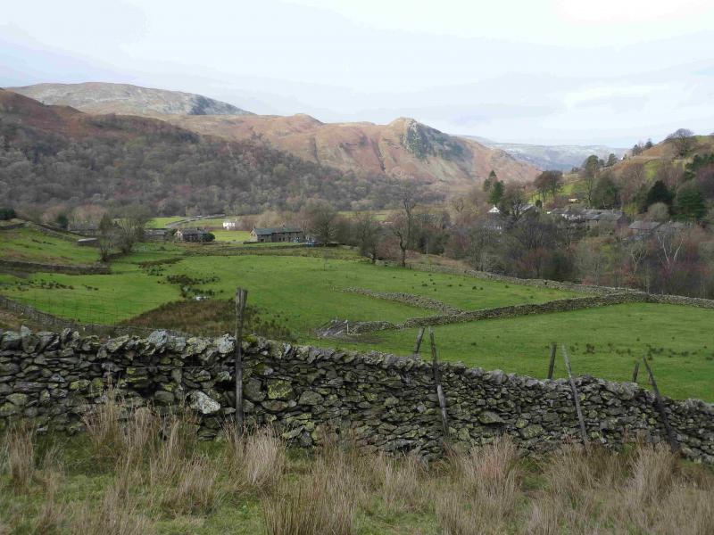
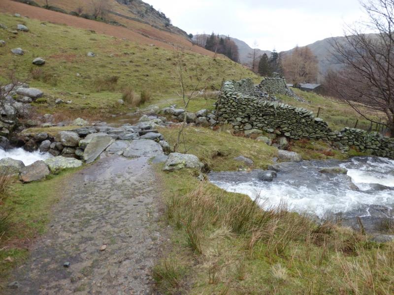
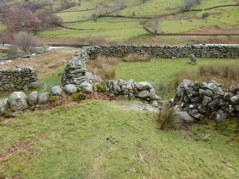
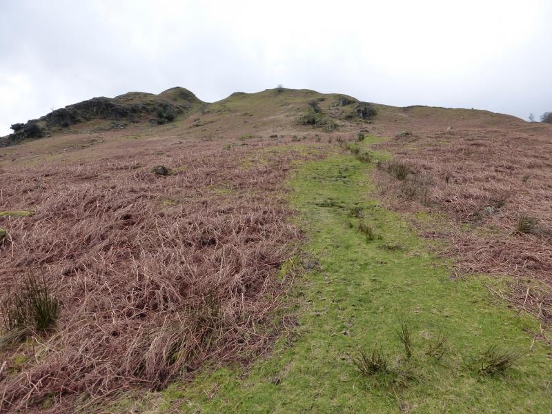
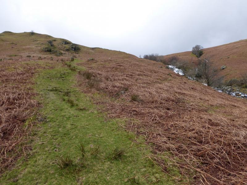
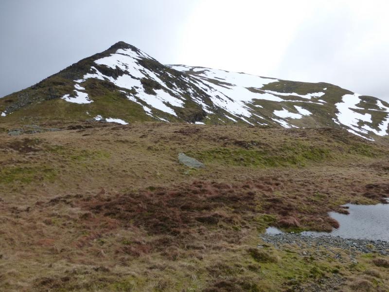
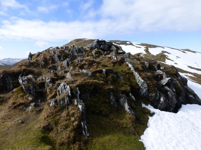
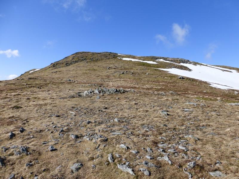
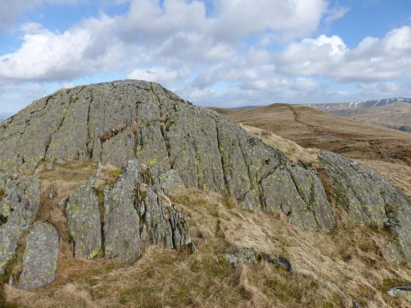
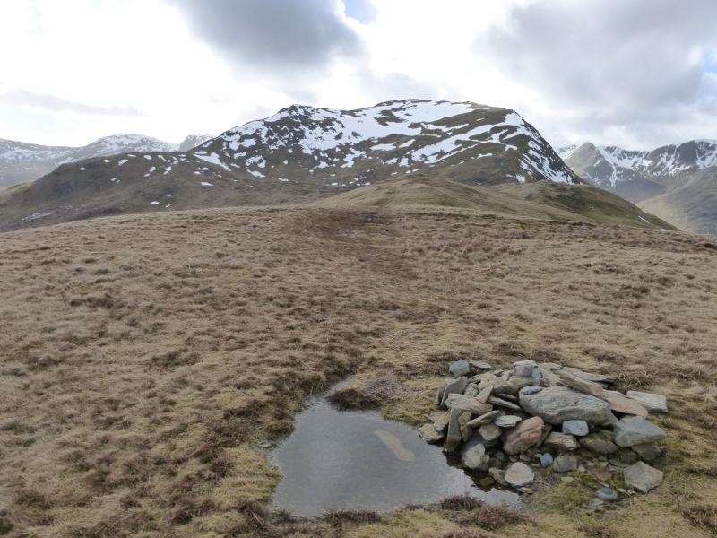
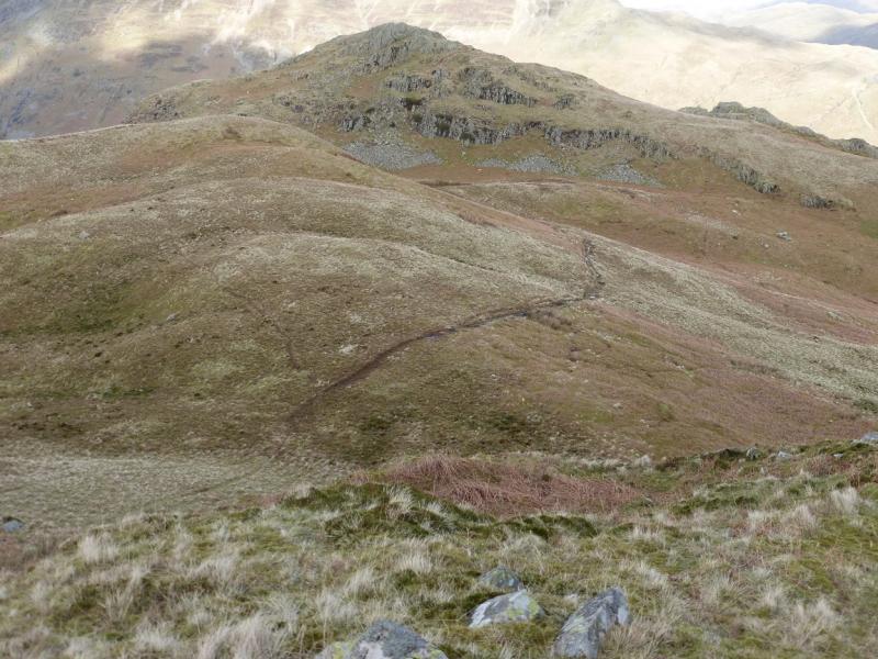
(1) Take the track/road going W into Deepdale then follow it SSW up Deepdale as far as Wall End which is the last building. Just after here, the track crosses Coldcove Gill by a “bridge” made of 3 slabs. Immediately after, take a path up the side of the gill. This leads into what seems to be a walled enclosure but if you go right in, you will see the way out without having to climb over a wall. Continue up the path which leaves the gill higher up and heads more to the S before curving around to ascend to the small cairn on Lord's Seat. Continue up the much steeper Gavel Pike where a medium cairn marks the summit of Gavel Pike, 784 m.
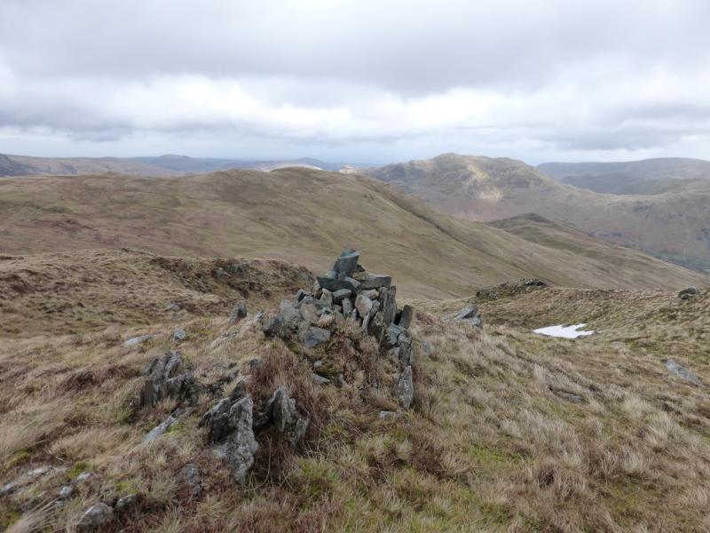
(2) Walk almost due W across level ground before a short ascent leads to a plateau where there is a medium and small cairn, the latter seems to mark the summit of St. Sunday Crag, 841 m.
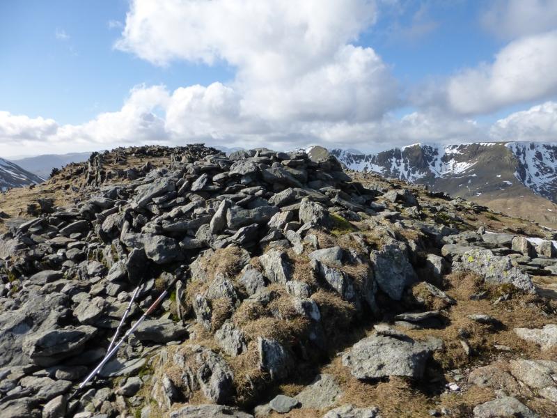
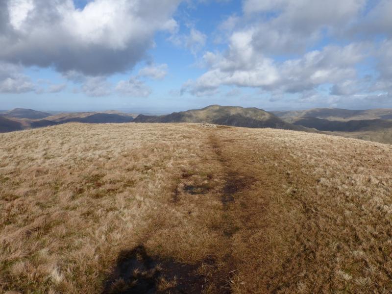
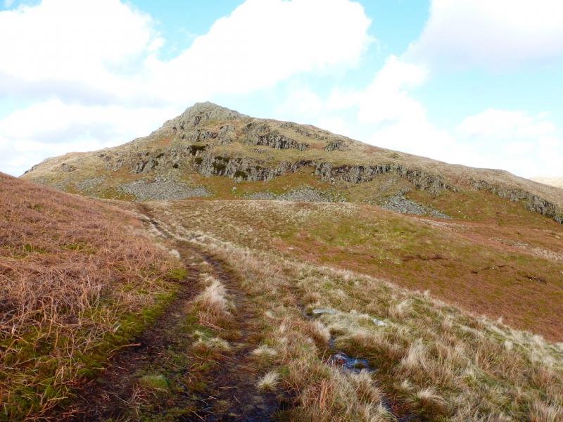
(3) Either descend down the crest heading N then NE or head ENE to pick up a path which starts between St. Sunday Crag and Gavel Pike. Follow either path down to a broad col then stay on the crest (the main path goes off NNE) and ascend to the small cairn which marks the summit of Birks, 622 m.
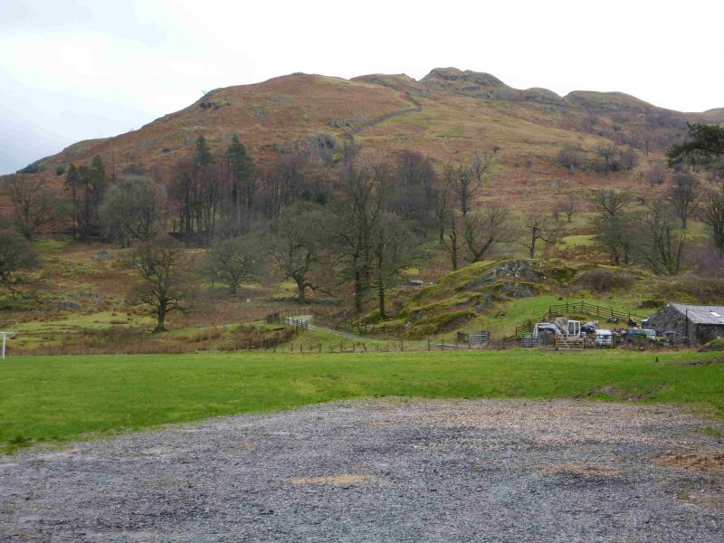
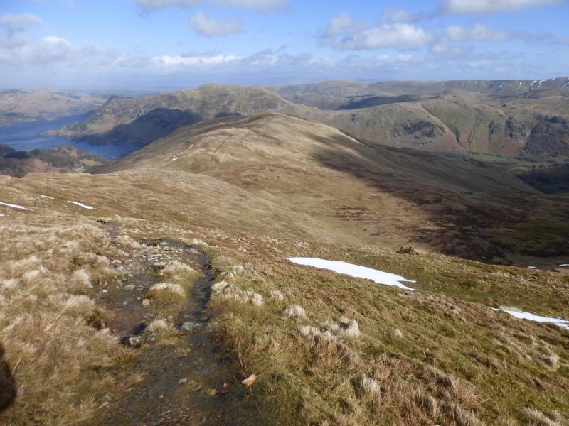
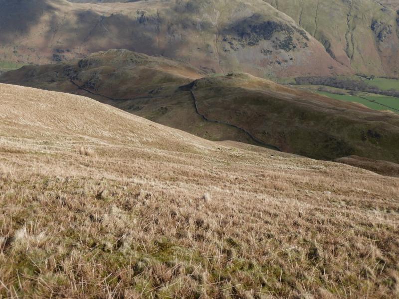
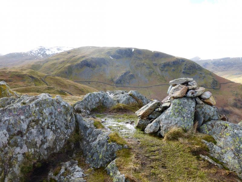
(4) Continue along the path on the crest for about 300 m until it turns N then go E and start descending steepish grassy slopes. Soon a broken down wall starts which later becomes more substantial and this can be followed, path on its right, down towards Trough Head. Leave the wall lower down, to avoid unnecessary loss of height, and walk around Trough Head to gain the path along the undulating grassy ridge which leads N towards Arnison Crag. The path goes to the left before the crag before ascending up or just pick a way up to reach the medium cairn which marks the summit of Arnison Crag, 433 m. There is a slightly lower cairned top to the E.
(5) Pick a way down into the gap between the two tops then descend almost due N, on a path, to join a much better path alongside a wall. Follow the path and wall down, past the obvious Oxford Crag, to join another path at the bottom. Turn right and follow the path, ignoring any branch going left, to reach a track which leads down to the A592 by the Post Office. Turn right and follow the road back to Bridgend.
Notes
(a) This walk took place on 7th March, 2014.
Photos - Hover over photo for caption. Click on to enlarge. Click on again to reduce.