Get Lost Mountaineering
You are here: England » Lake District » 2 Far Eastern Fells
High Street via Rough Crag & Long Stile Ridge, Mardale Ill Bell, Harter Fell & Adam Seat from the head of Haweswater
High Street via Rough Crag & Long Stile Ridge, Mardale Ill Bell, Harter Fell & Adam Seat from the head of Haweswater
Start/Finish
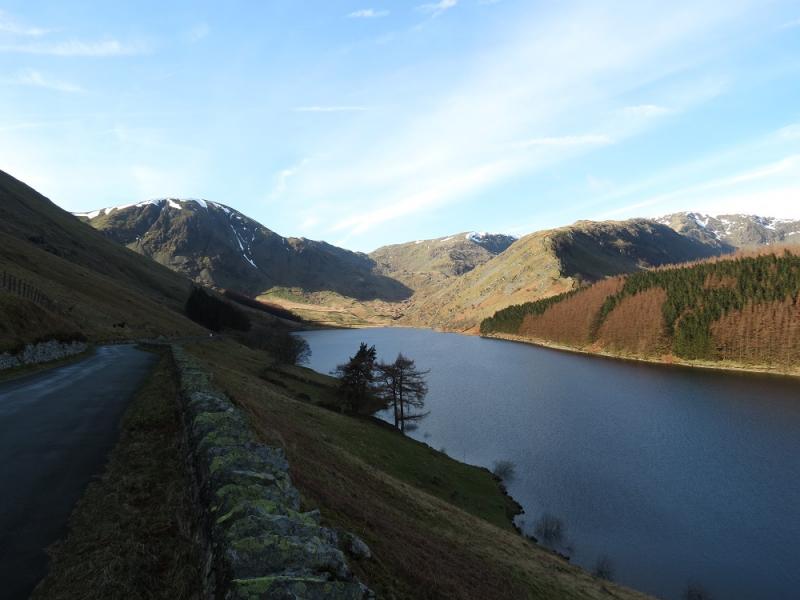
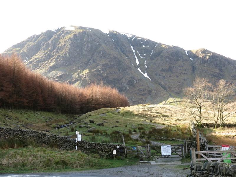
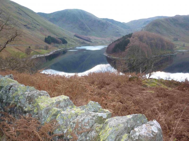
Small public car park at the head of Haweswater. On busy days, this car park will fill up early. It is quietest mid-week out of season. The road is narrow and twisting and progress will be slow. From Penrith, take the A6 south to Eamont Bridge then turn off for Yanwath (Pooley Bridge road) then turn off south for Askham and follow signs for Haweswater through Butterwick.
Distance/Time
12 km About 5 hours
Peaks
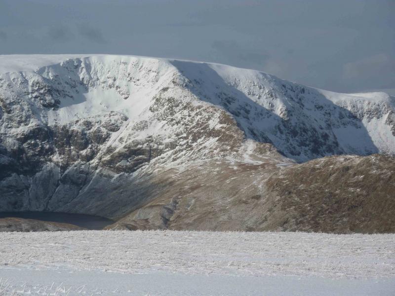
Rough Crag, 628 m, NY 454 113.
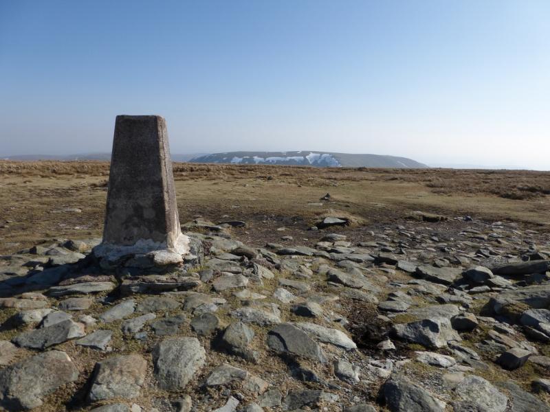
High Street, 828 m, NY 441 111.
Mardale Ill Bell, 761 m, NY 447 101.
Harter Fell, 778 m, NY 460 093.
Adam Seat, 666 m, NY 471 091. OS 1: 50 000, sheet 90.
OS 1: 25 000 Outdoor Leisure 5, English Lake District NE Area.
Introduction
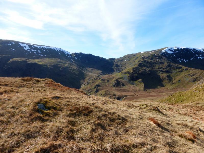
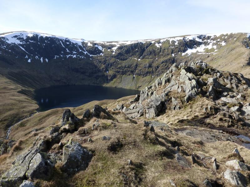
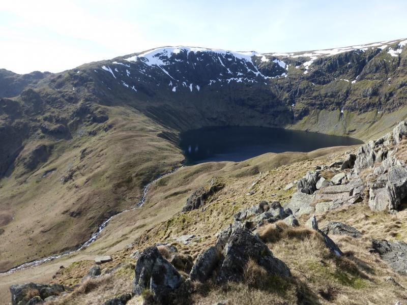
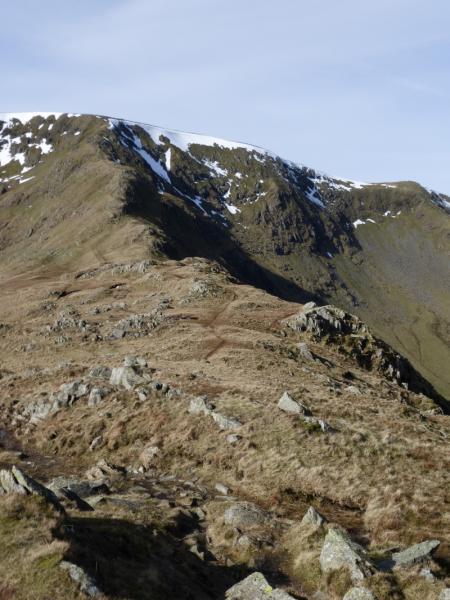
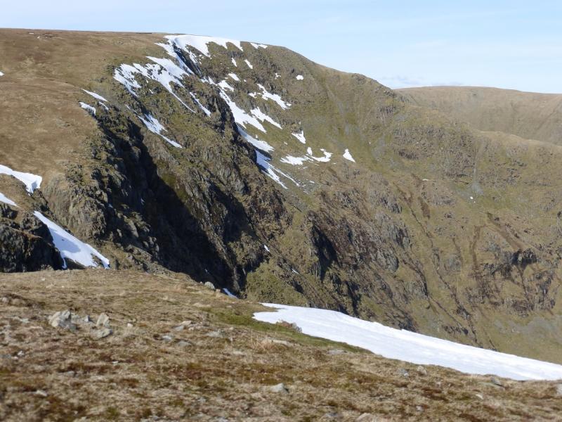
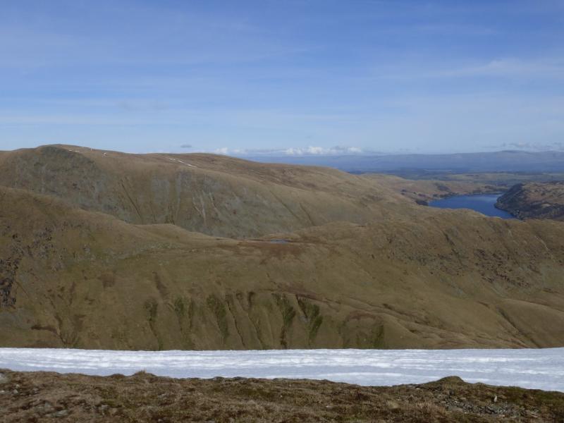
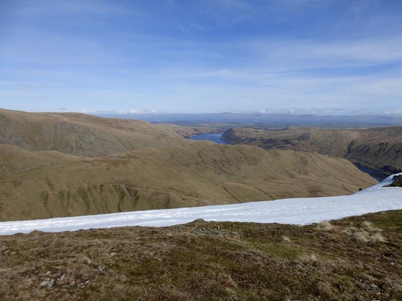
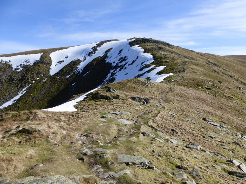
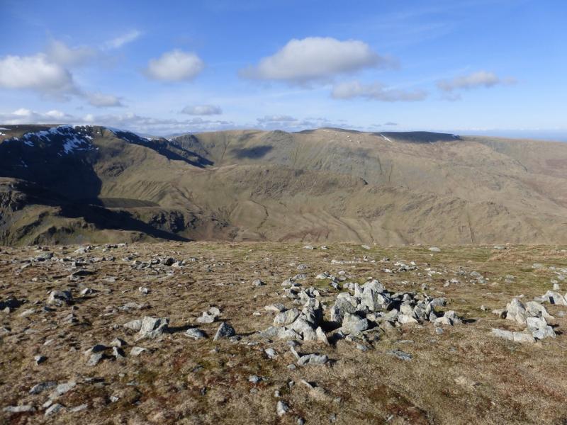
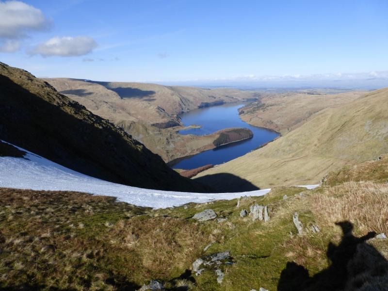
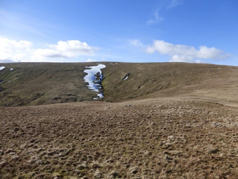
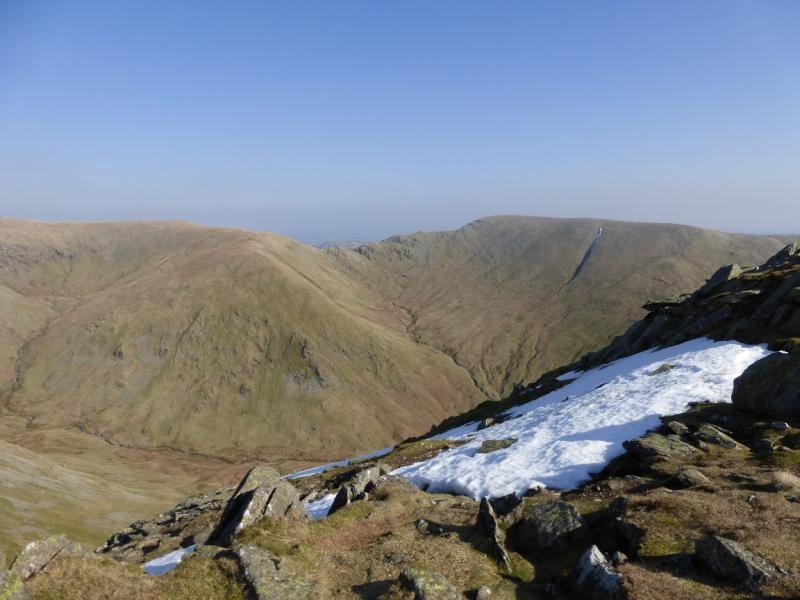
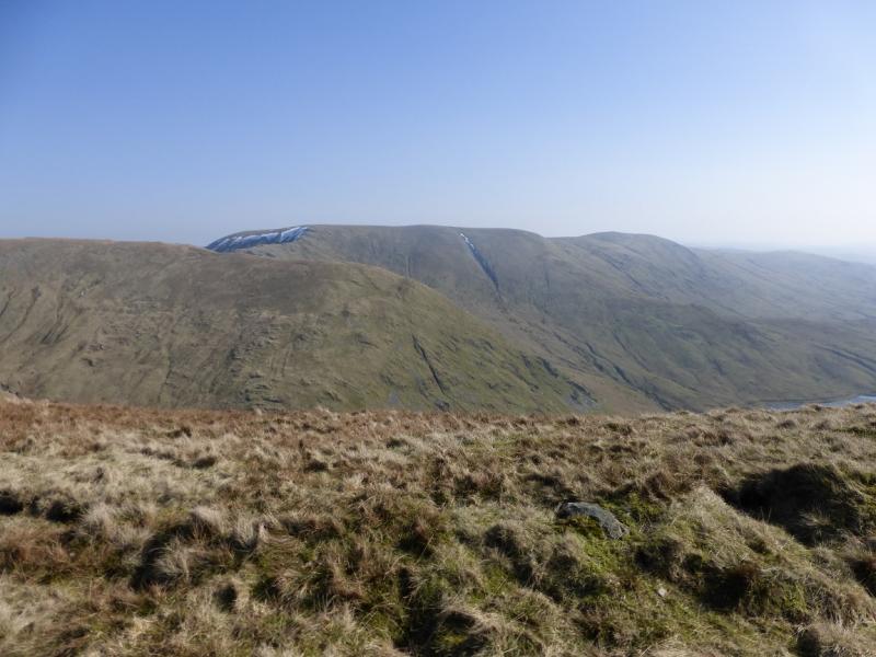
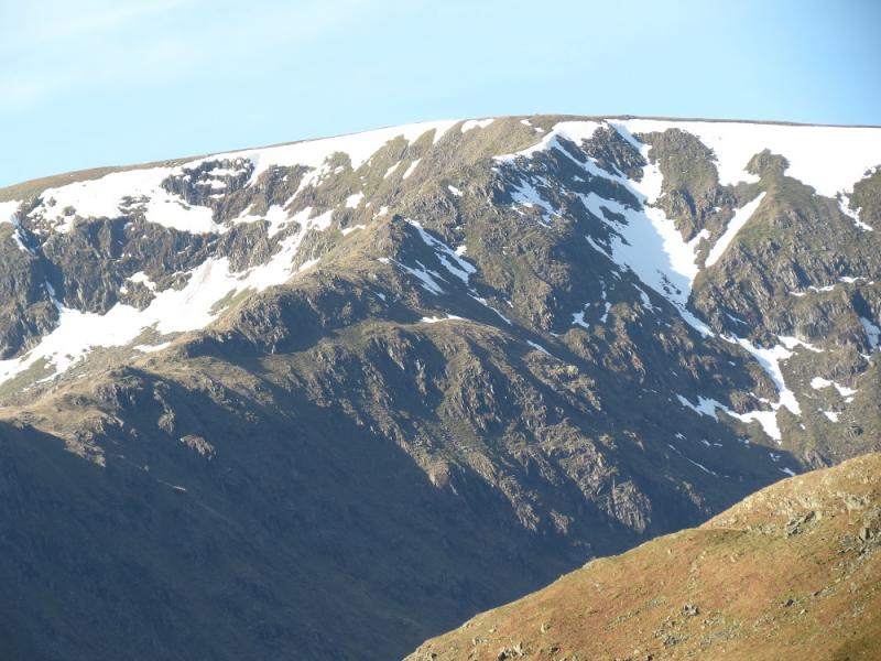
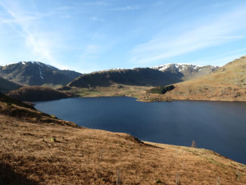
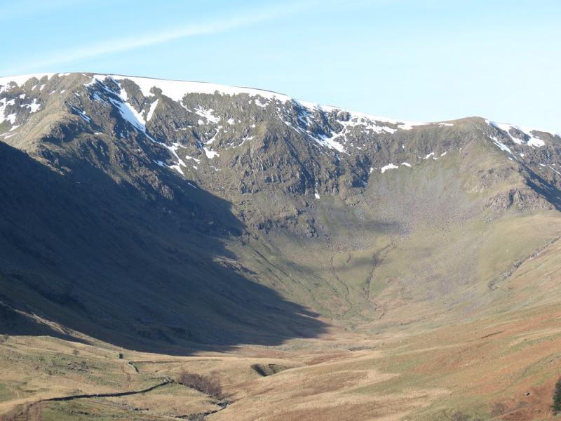
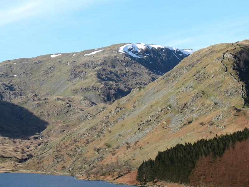
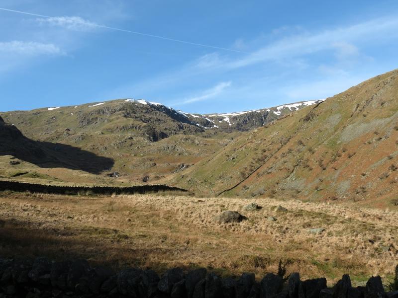
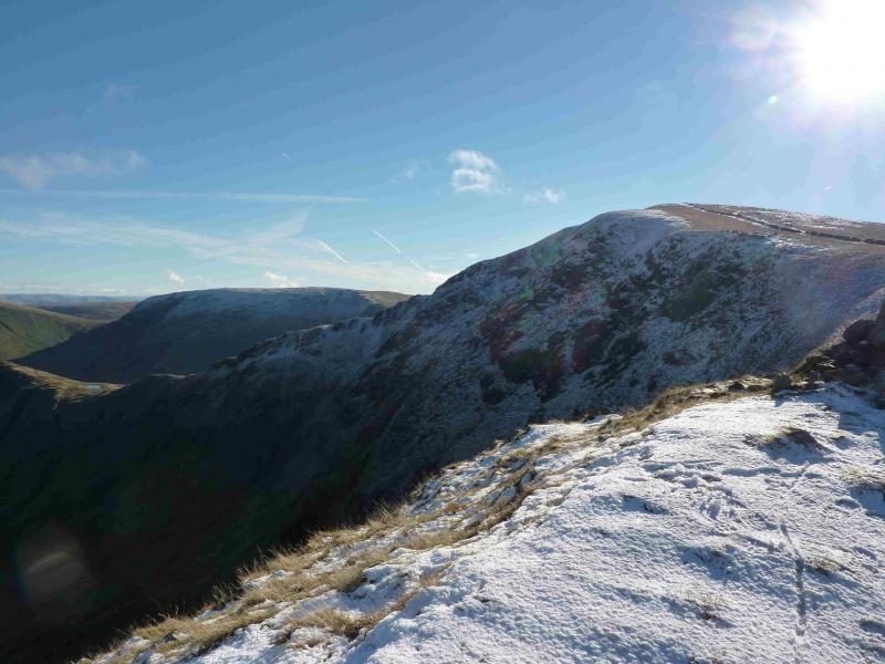
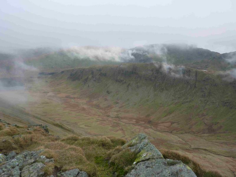
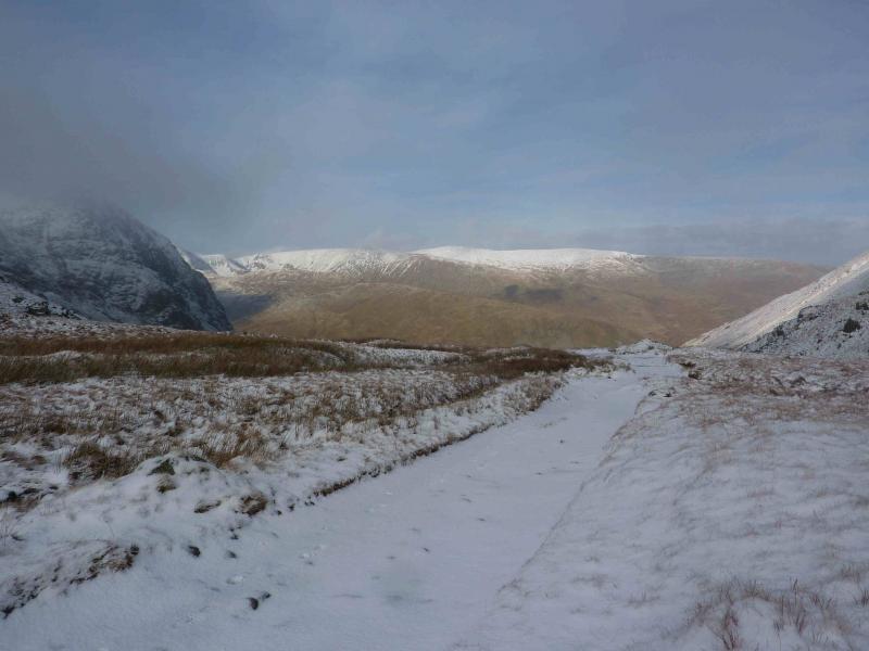
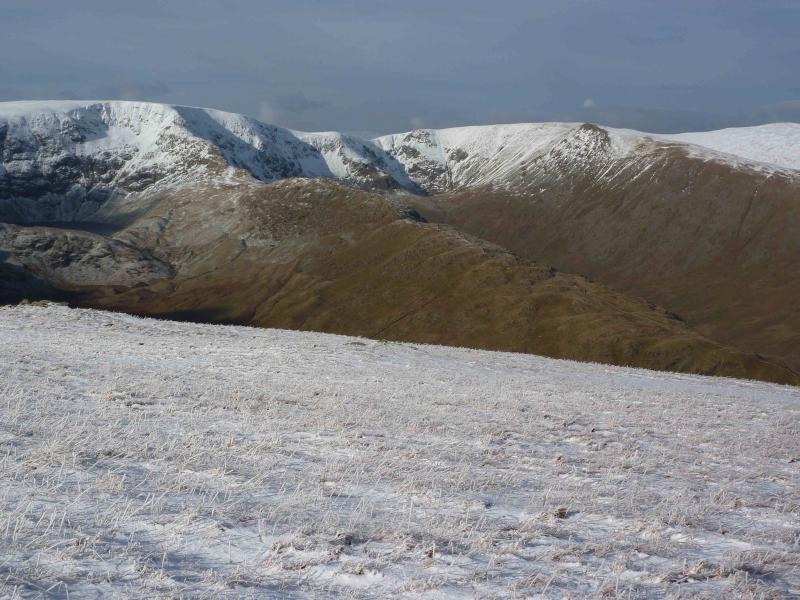
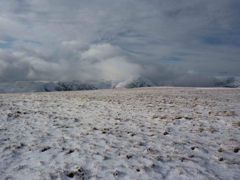
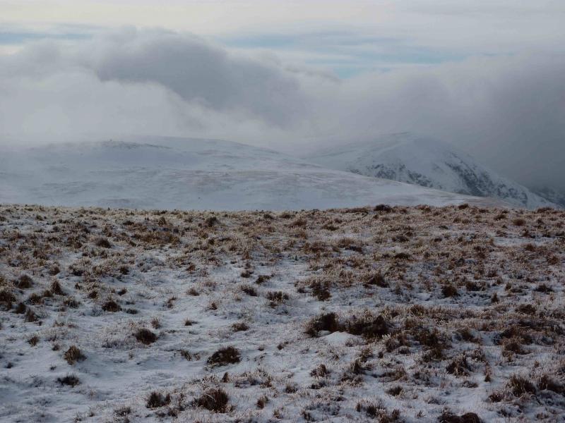
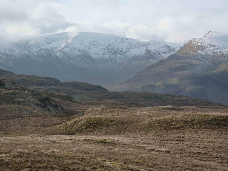
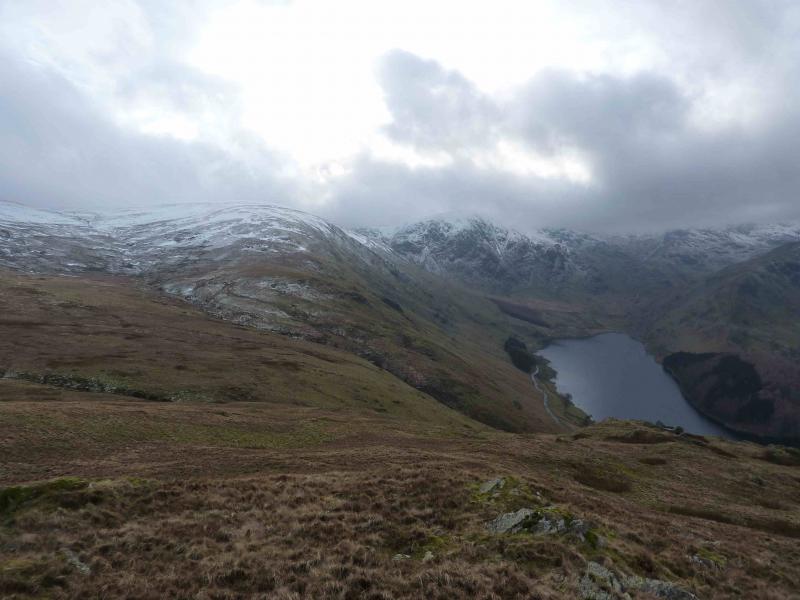
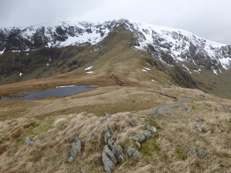
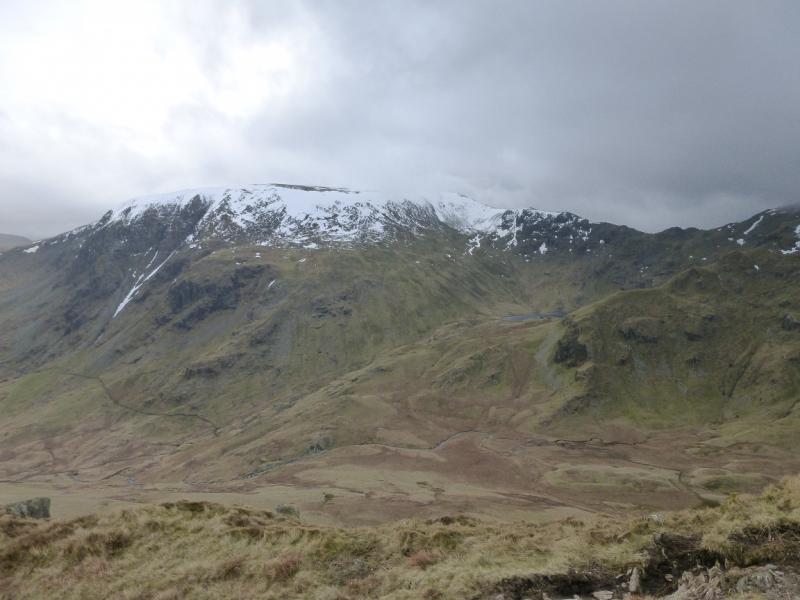
This is an excellent route around the head of Haweswater. There are good and very distinctive paths all of the way up the rocky ridges of Rough Crag and Long Stile. The final short section of Long Stile is steep on loose scree but a more pleasant alternative lies just to the left on grass. In winter conditions, this section will be the most tricky and ice axe and crampons will be necessary. Sometimes, the snow recedes leaving a large snowfield seemingly blocking the top of the ridge for those without winter equipment but it may be possible to go around the left hand side of this on reasonable grass but you won't know until you get there! On a clear day, the views are excellent especially to nearby fells such as Kidsty Pike, High Raise and Branstree. Most of the Helvellyn range will also be visible and even the Scafells and Great Gable. You might also spot Ingleborough! The length of this walk is ideal for a short winter's day but it is not for the inexperienced if winter conditions are on the hills.
Route
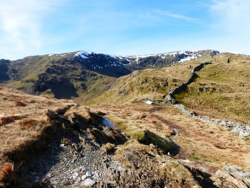
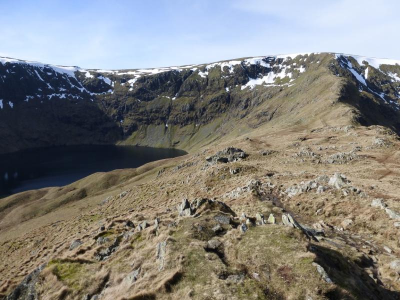
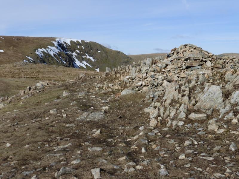
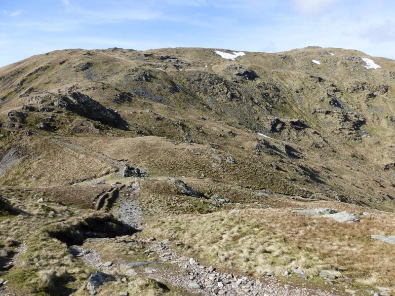
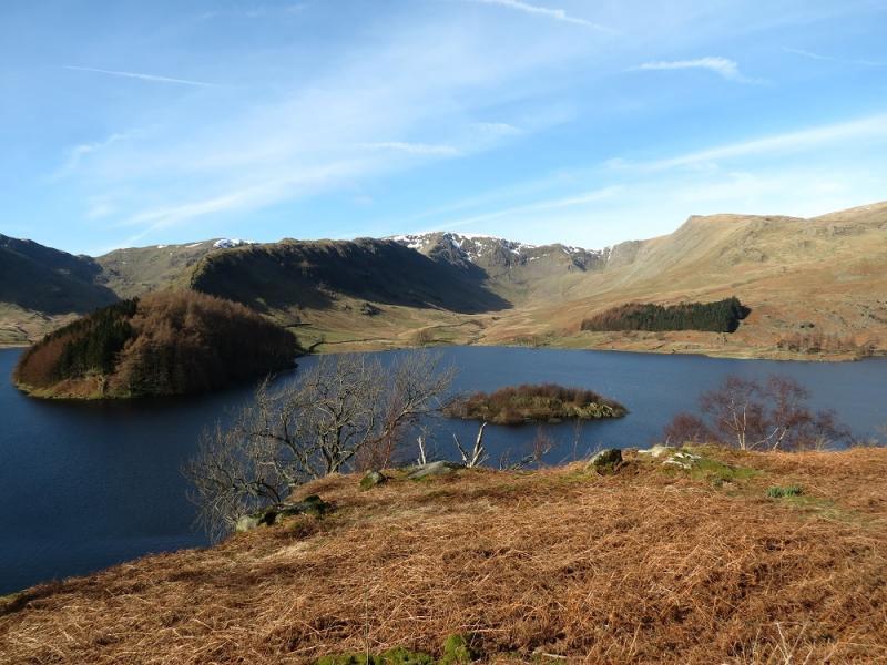
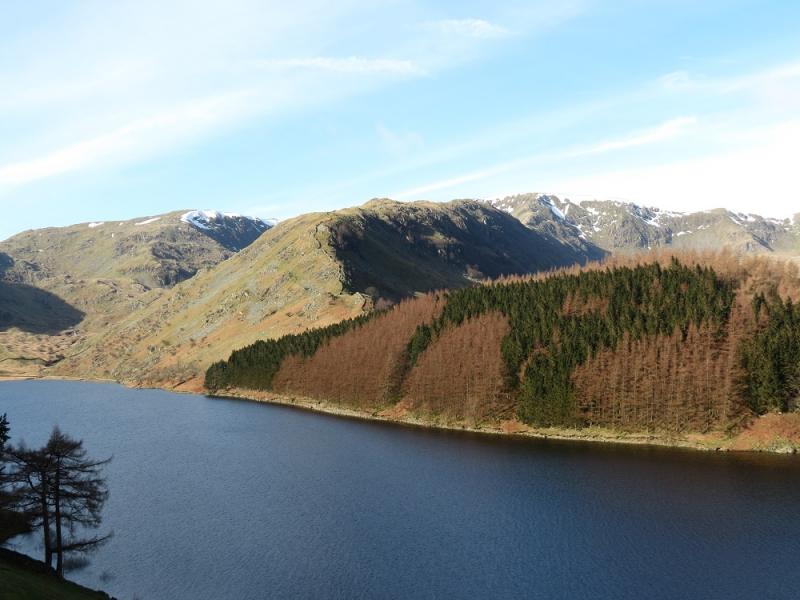
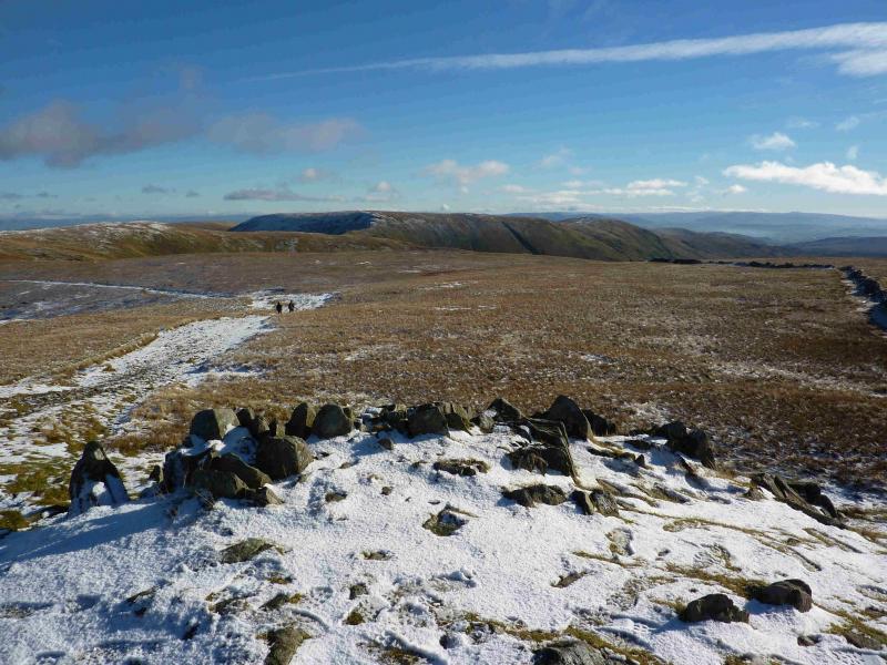
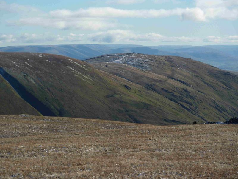
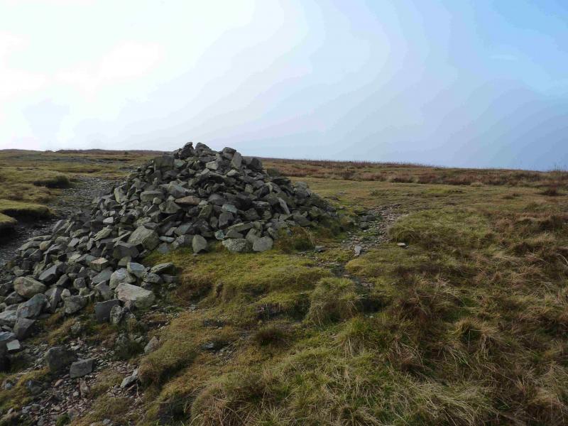
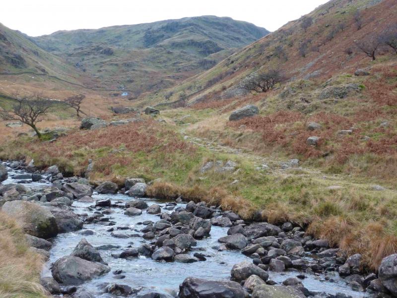
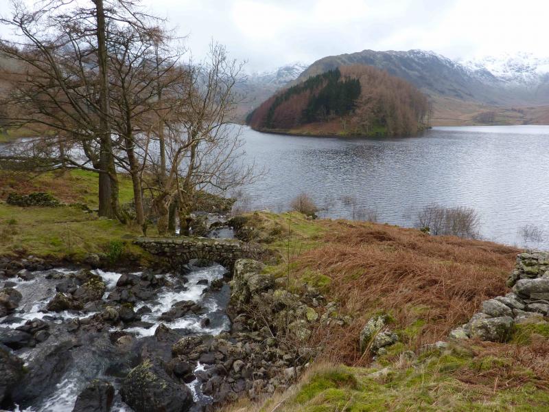
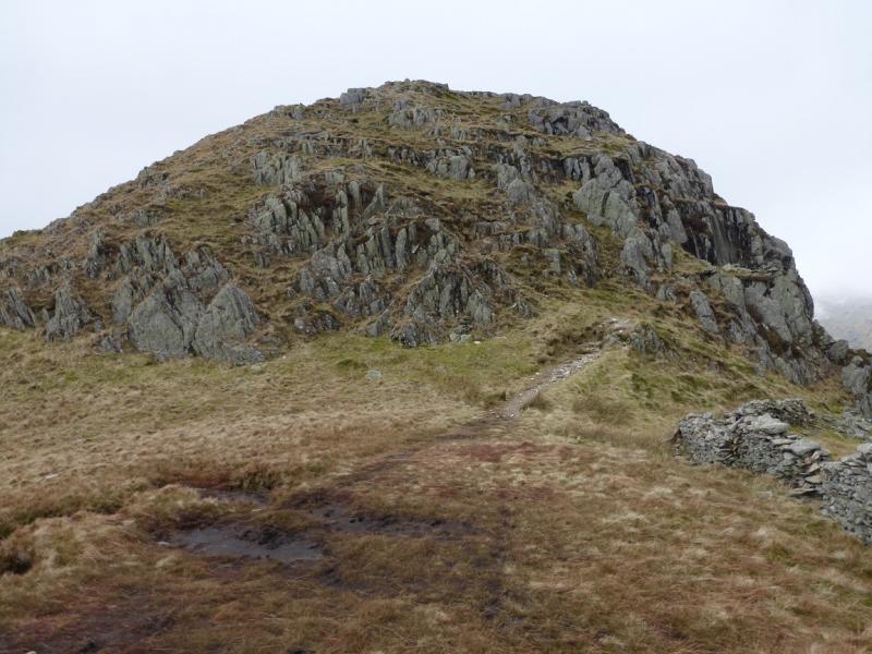
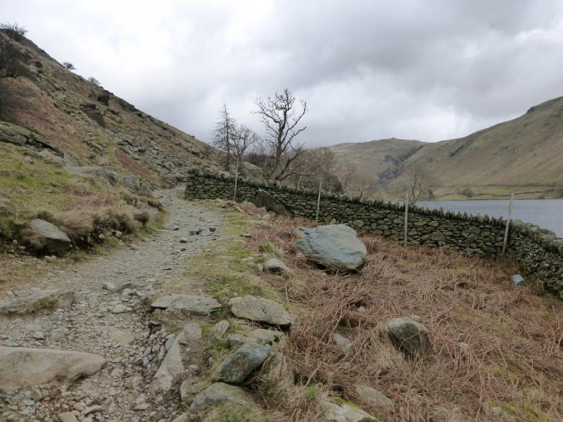
(1) From the car park, follow the path, by the wall, to the other side of the lake and walk along the path by the wall above the shoreline. Continue to The Rigg (wooded area) and reach the point where the path goes through a large gap in the wall. Just after here, a path goes off left towards the Rough Crag ridge. (There is a path, where the lake side wall zig zags before this which slants up and cuts off the bottom of the ridge but this is a fine ridge and deserves to have its full length walked.) The path follows a wall initially. Soon the path swings left but it is possible to continue by the wall although there are a few steep sections. The path rejoins higher up. Continue on the ridge. The gradient soon eases and the walking becomes more pleasant on the well defined path. After nearly 2 km on the ridge, a medium cairn is reached which marks the summit of Rough Crag, 628 m. Note that the main path bypasses this just to the right.
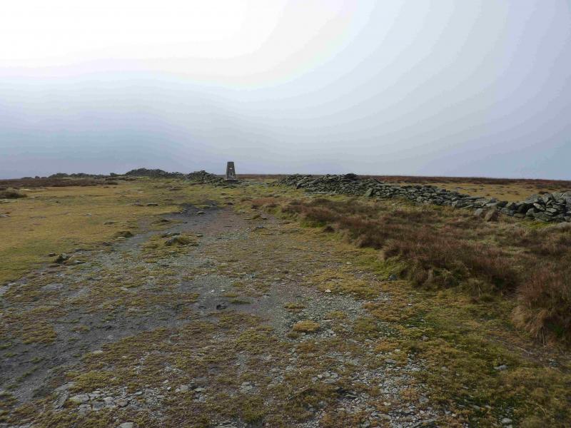
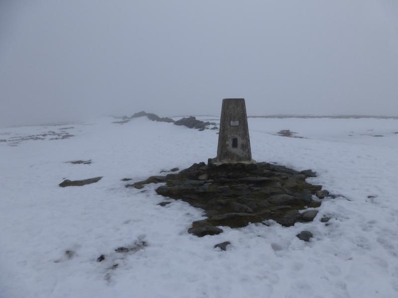
(2) Continue along the ridge, descending gently to reach a cairn in a col known as Caspel Gate where, depending on recent weather, there is sometimes a small tarn. Follow the path up the steepening Long Stile ridge which ends at a large cairn on the High Street plateau. Turn left, SSW, and follow a wide grassy strip to a smaller cairn then a wall which quickly leads to the trig point which marks the summit of High Street, 828 m.
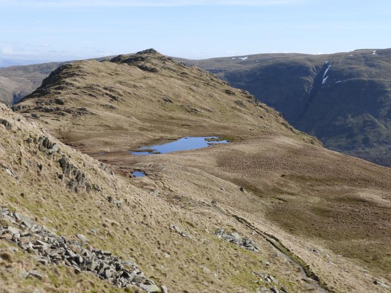
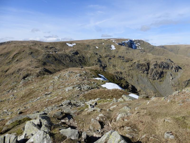
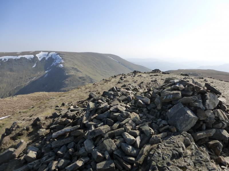
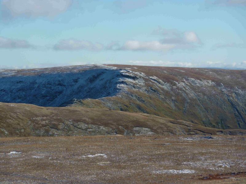
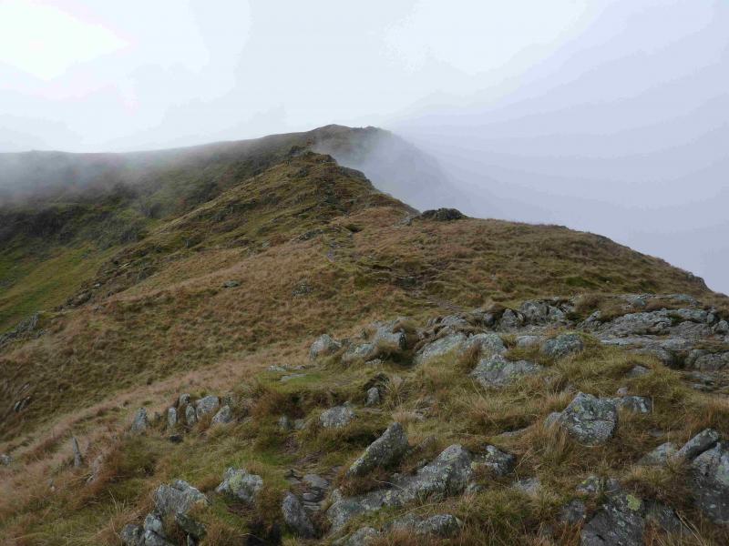
(3) Walk S along the wall for about 200 m then drift towards the edge on the left to pick up a faint path which later joins a much more obvious path coming from further down the wall. Follow this down then up slightly to reach the large cairn which marks the summit of Mardale Ill Bell, 761 m.
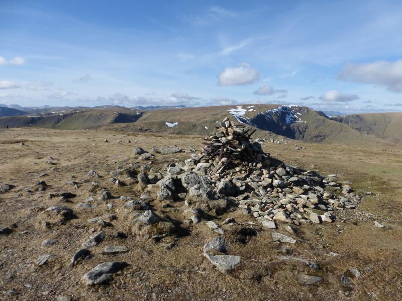
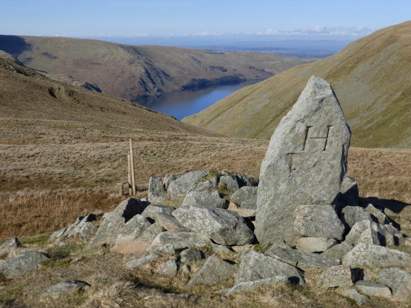
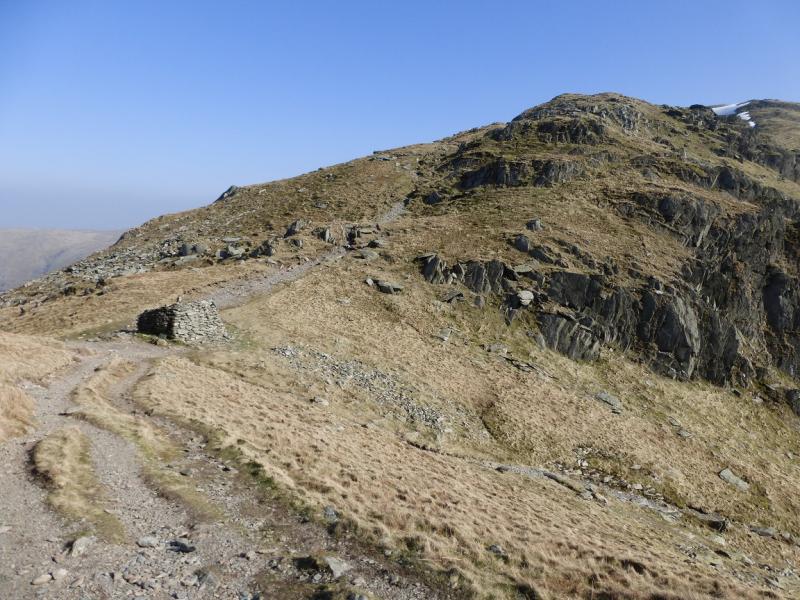
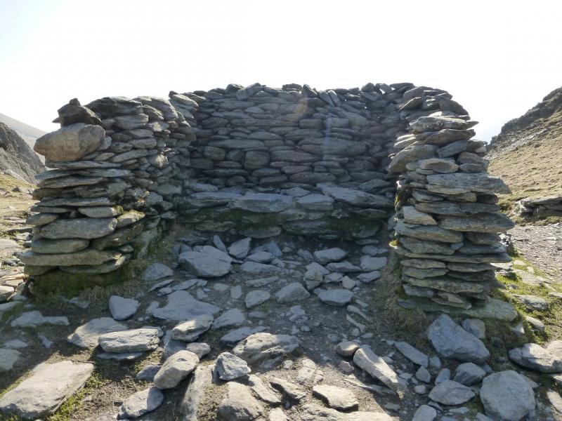
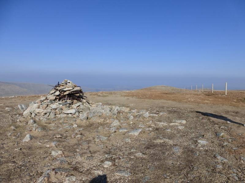
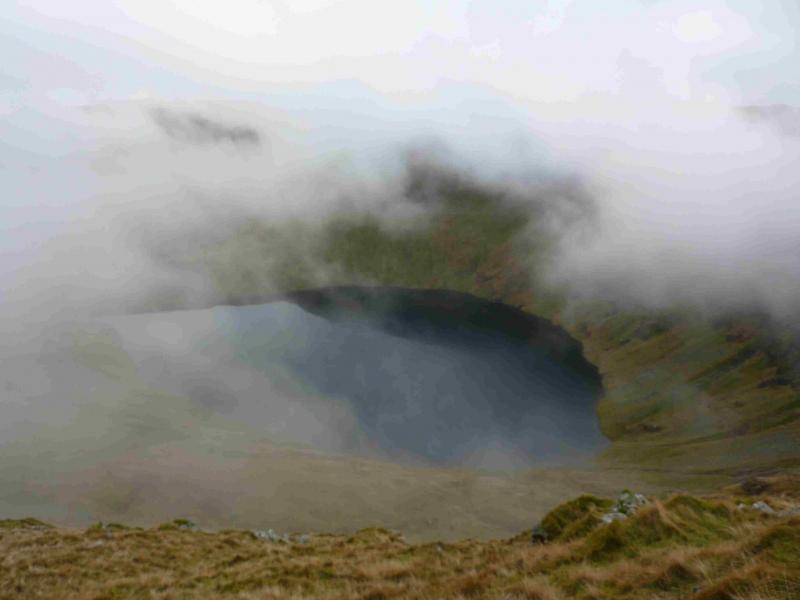
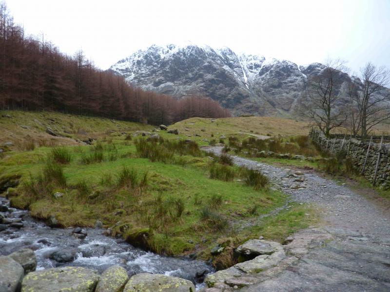
(4) Descend SSE, on a very obvious path, which gradually turns E and leads down to Nan Bield Pass where there is a large shelter cairn. There is a col just before this which also has a cairn and may be confusing in mist. Continue up the other side to reach the large cairn, with some iron work in it, which marks the summit of Harter Fell, 778 m.
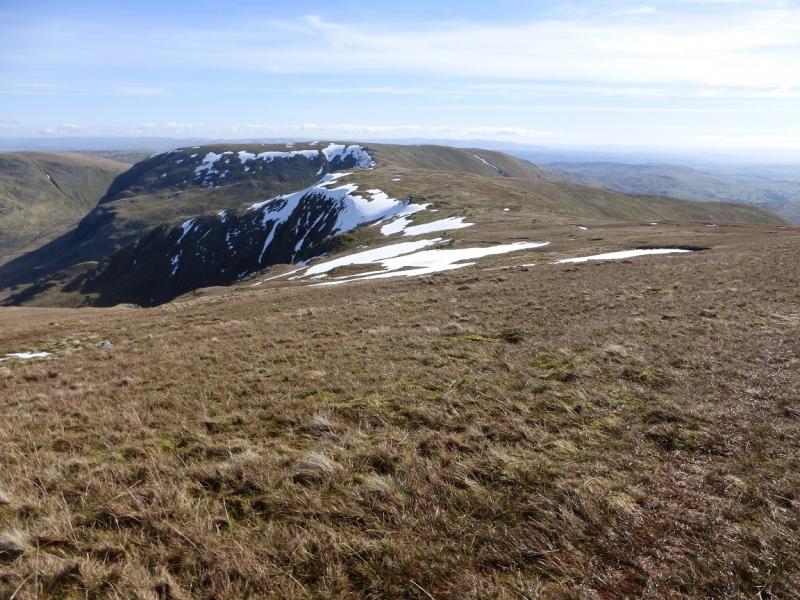
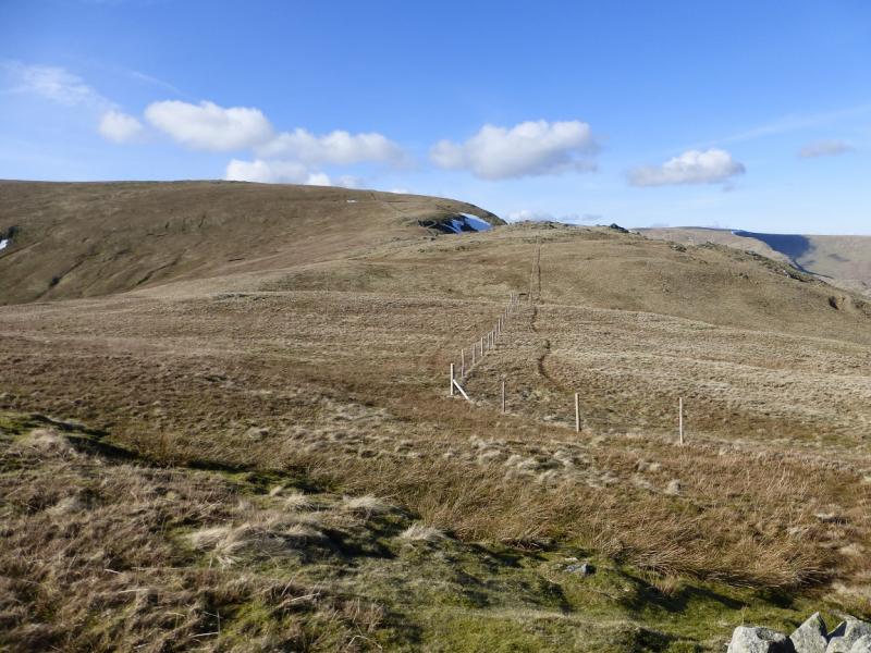
(5) Descend NE, on a good path, along the fence to a corner where there is another cairn and the fence turns SE. When the path leaves the fence, continue on a faint path along the fence into a shallow dip. A short ascent then leads, over a stile, to a boundary stone which marks the summit of Adam Seat, 666 m.
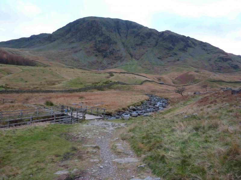
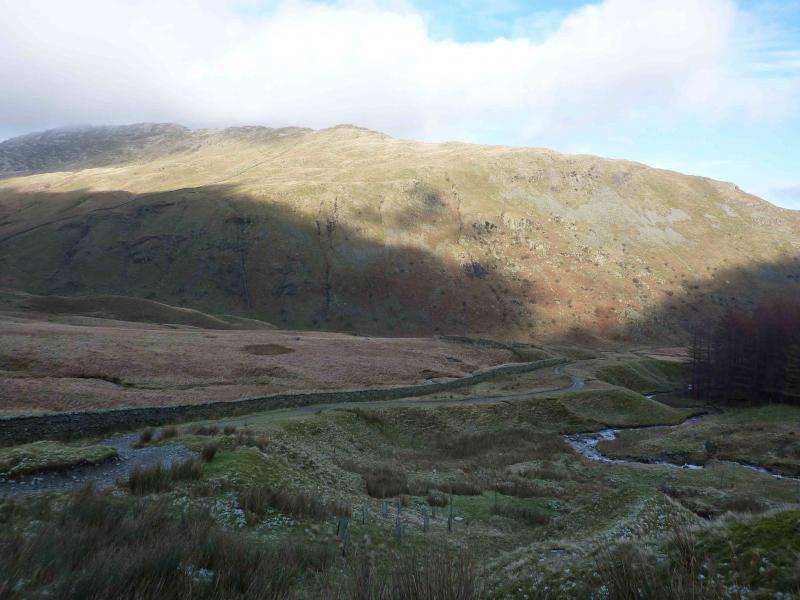
(6) Retrace to the fence and follow it down to the top of Gatesgarth Pass which is a rough track. Turn left, N, and follow the track back to the start.
Notes
(a) This walk took place on 10th March, 2014.
(b) Other walks have been posted which take in High Street including two which use this route of ascent of which one then goes north to Rampsgill Head and High raise before descending down the Kidsty Pike range whilst the other retraces the ascent route.
Photos - Hover over photo for caption. Click on to enlarge. Click on again to reduce.

.JPG)