Get Lost Mountaineering
You are here: England » North Pennines
Cross Fell, Little Dun Fell & Great Dun Fell from end of public section of access road to Great Dun Fell
Cross Fell, Little Dun Fell & Great Dun Fell
from end of public section of access road to Great Dun Fell
Start/Finish
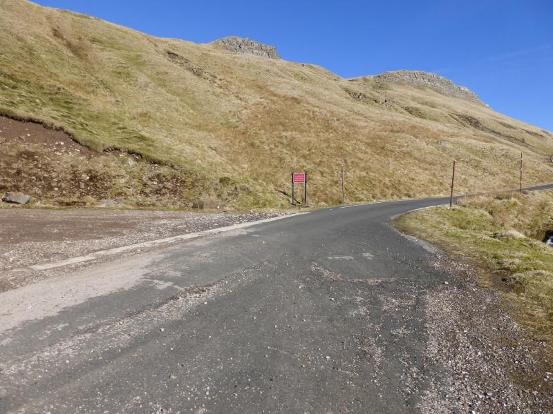
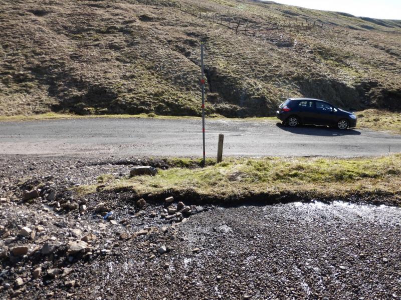
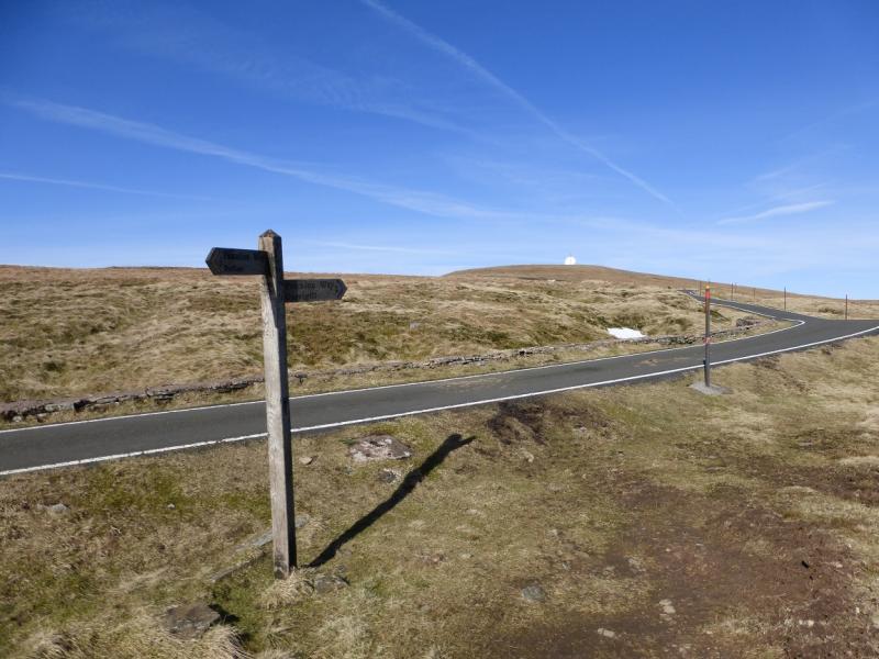
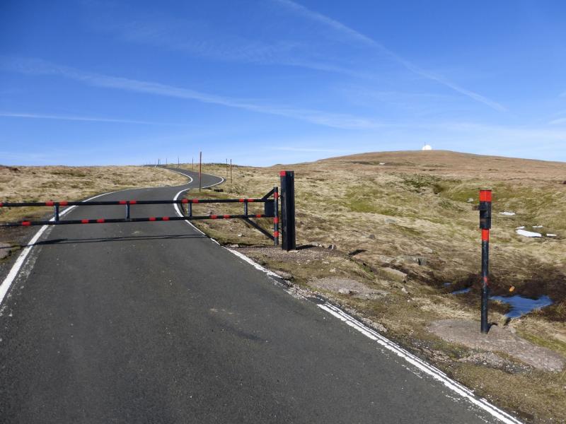
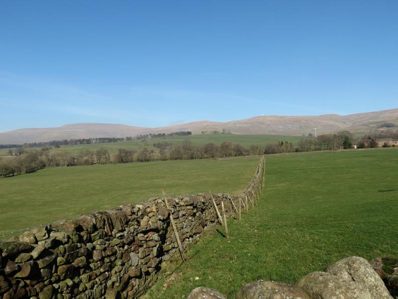
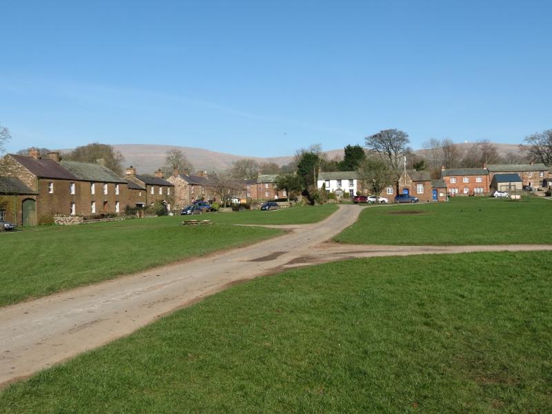
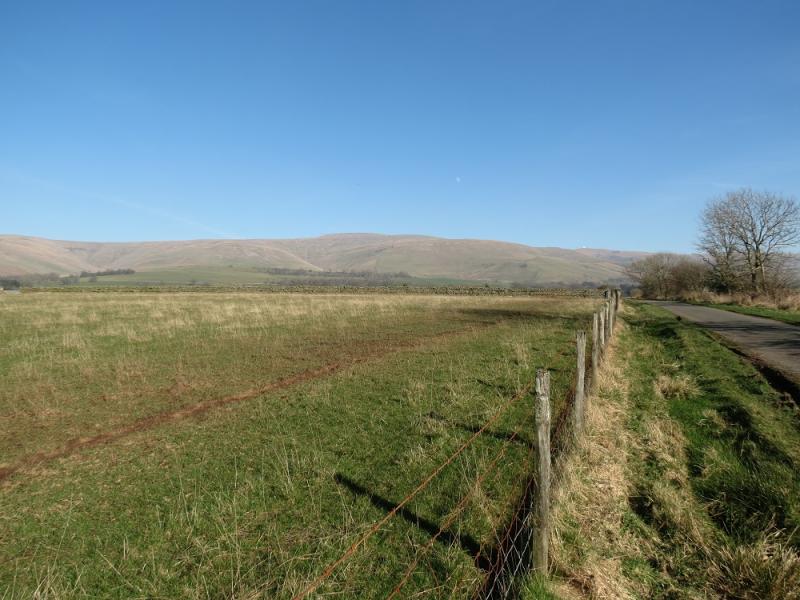
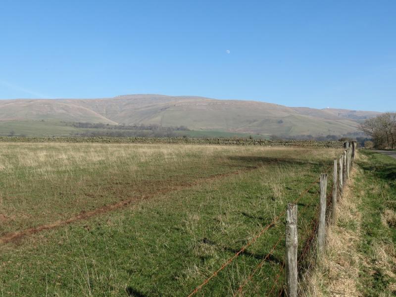
At the end of the public section of the access road to the “Golf Ball” on Great Dun Fell. This road leaves the road between Milton Grange and Knock. From Kirkby Thore on the A66 road from Penrith to Scotch Corner, take the road heading NE for about 2 miles until a T junction is reached on the road from Blencarn to Long Marton. Go left then soon right and follow the road for about a mile past Milton Grange then take a left turn signed for the Christian Centre. Follow this road up for about 3 miles until the sign is reached barring further public access. This is at the reverse fork for the Silverband Mine. The road is good tarmac all the way but may be impassable under snow. The height reached is about 670 m and this may be the highest public road in England. There is parking for about 3 cars at the top of the road so go early or you may have to park some way back and much lower.
Distance/Time
10 km About 3 hours
Peaks
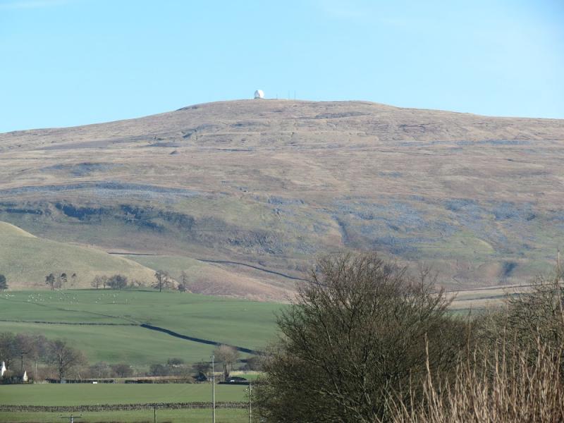
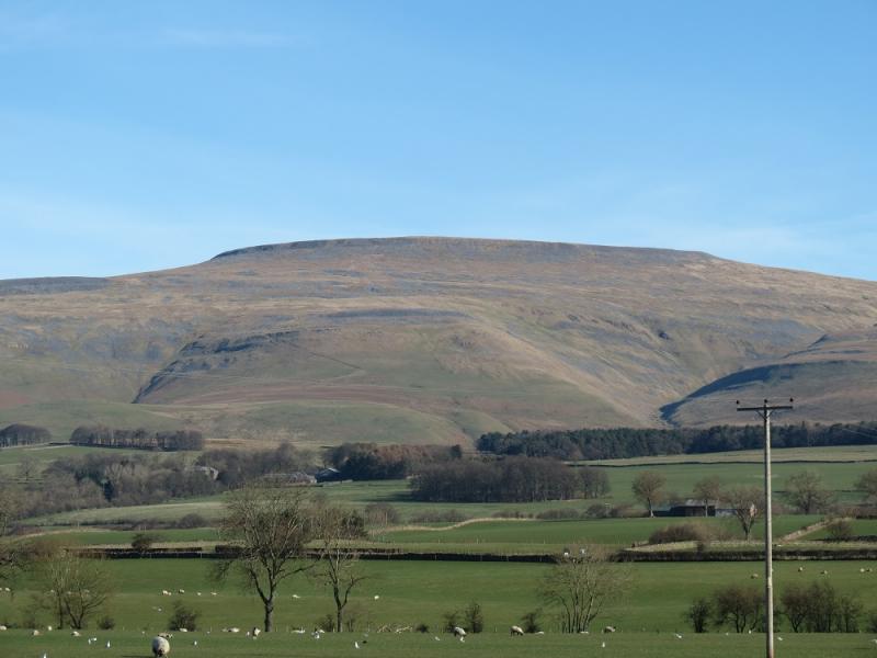
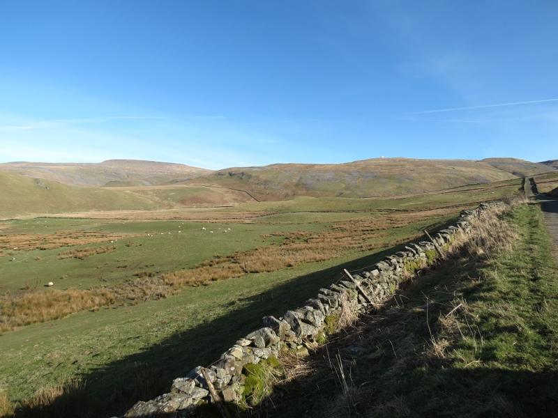
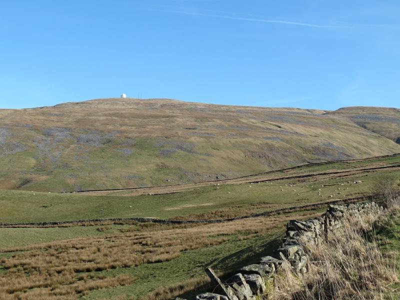
Great Dun Fell, 848 m, NY 710 322.
Little Dun Fell, 842 m, NY 704 330.
Cross Fell, 893 m, NY 687 343. OS 1: 50 000, Sheet 91.
Introduction
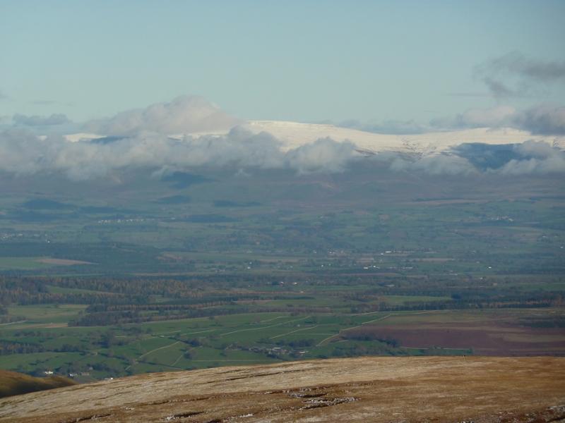
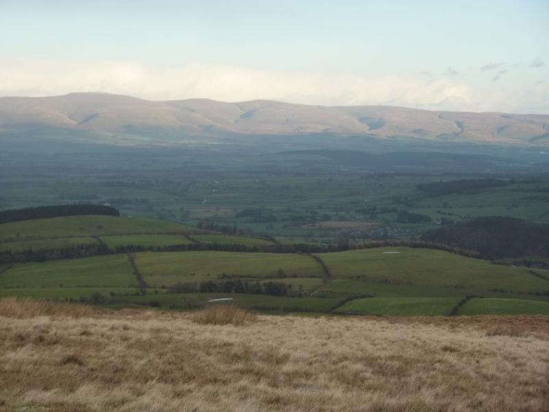
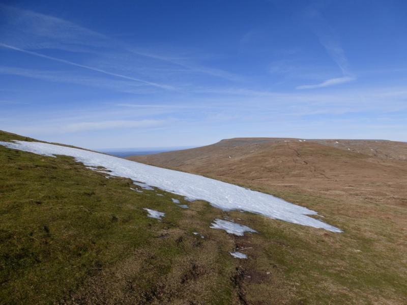
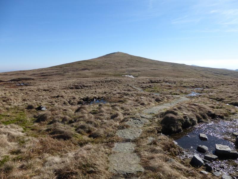
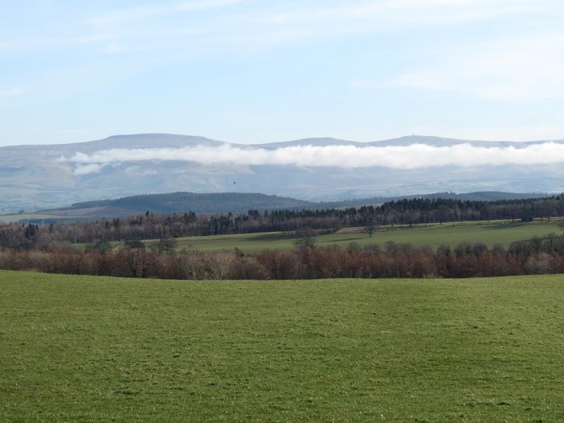
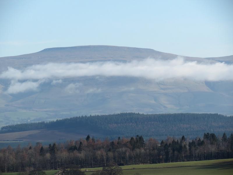
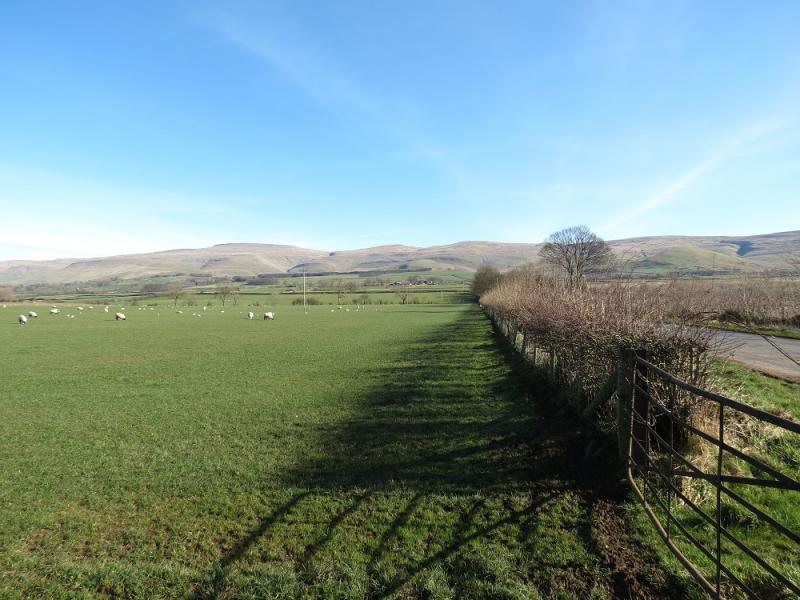
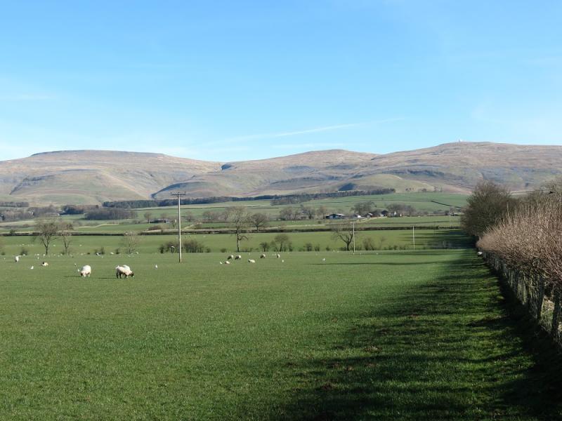
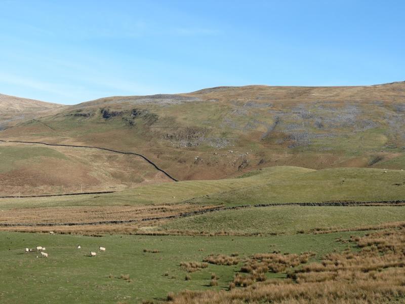
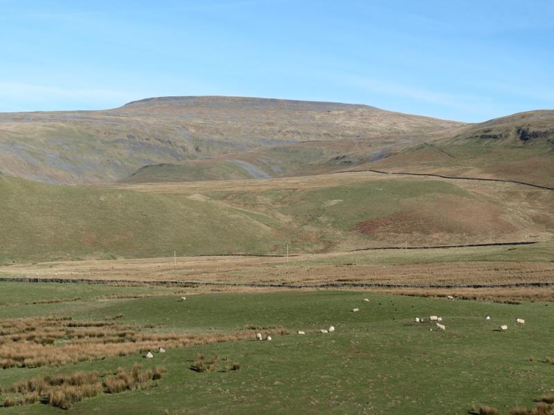
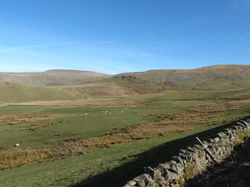
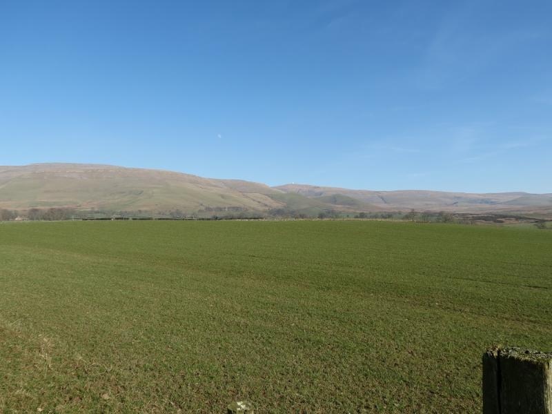
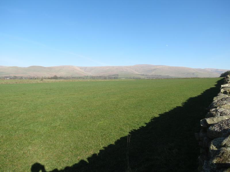
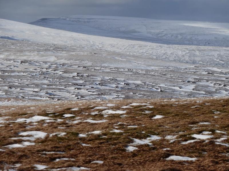
At 893 m, Cross Fell is the highest peak in the Pennines and the highest point on the Pennine Way. It is also the source of the River Tees. This is a very short walk, ideal for a mid-winter's day. The start, at 670 m, means little ascent during the walk but the downside is that the ascent route has to be reversed unless one has two cars. Once the road is left, the rest of the route is on the Pennine Way which has been slabbed in the boggy dips between the tops. Views are excellent especially to the Lakeland Fells where Helvellyn, Grasmoor, Grisedale Pike, Blencathra and Skiddaw are prominent on a clear day.
Route
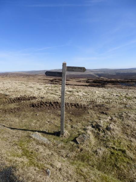
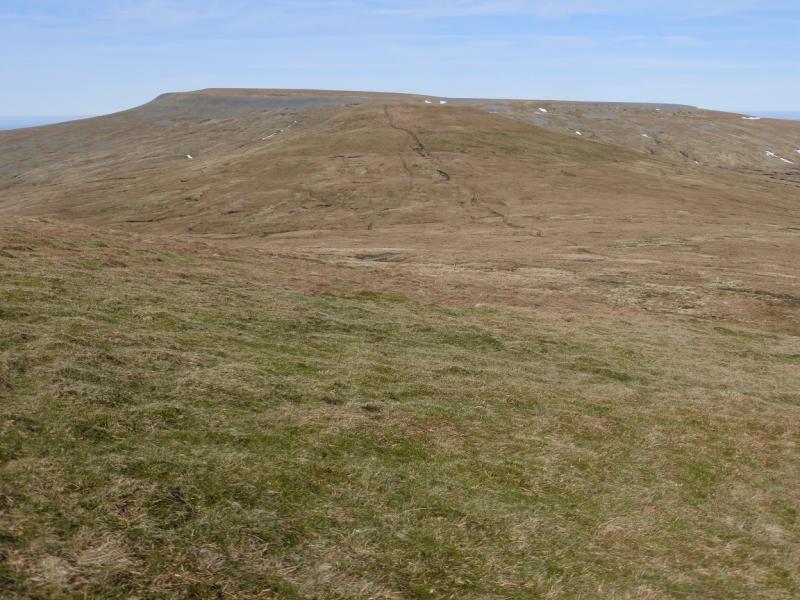
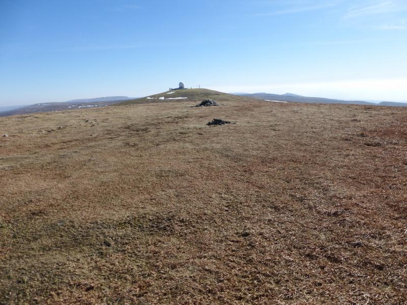
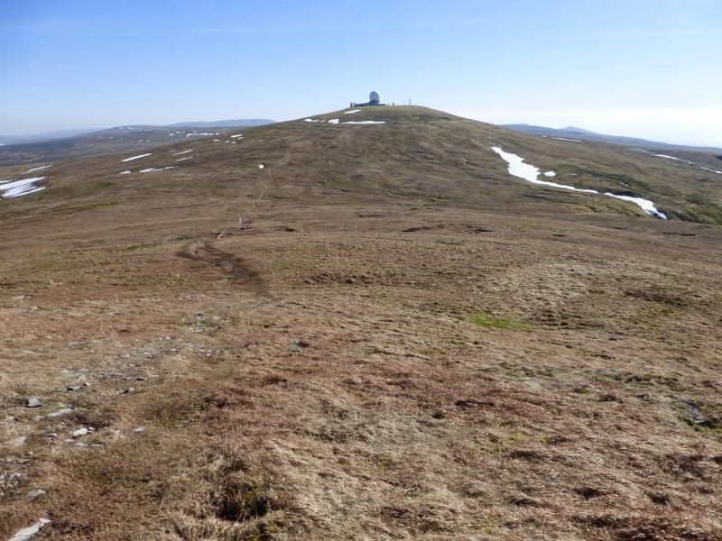
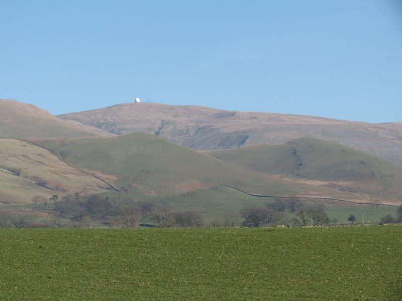
(1) Walk up the road to the “Golf Ball” which marks the summit of Great Dun Fell, 848 m. The structure is fenced off but there is a cairn just outside which does not seem to be the highest point but it is difficult to tell how much of the ground inside the fence is natural. The usual route around the structure, taken by the Pennine Way, is to go around to its right, E.
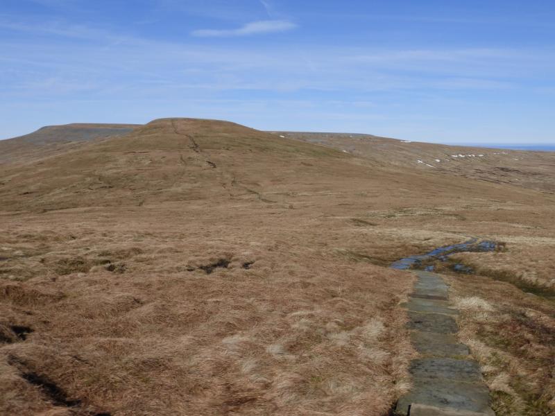
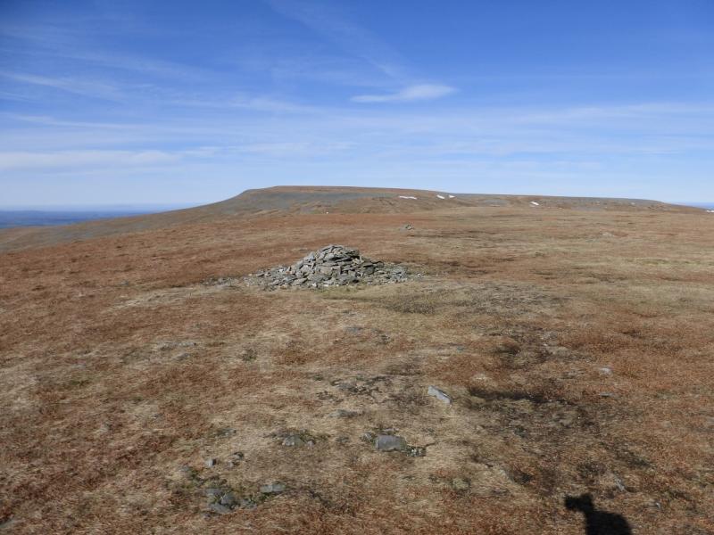
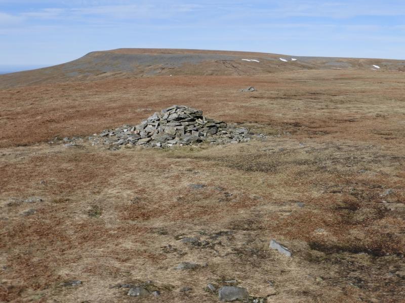
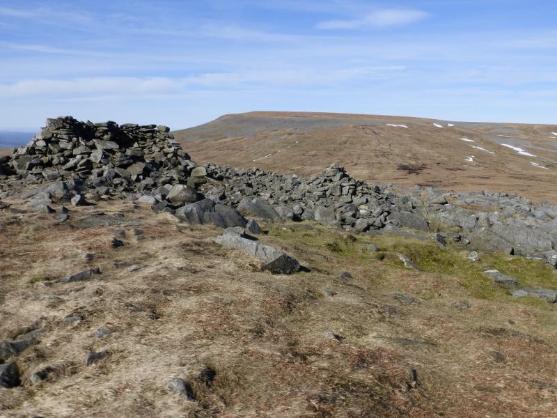
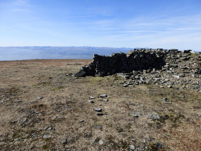
(2) Continue on the Pennine Way, descending to a col, then ascend up to a medium cairn which marks the summit of Little Dun Fell, 842 m. A much smaller cairn is just beyond it and there is a large shelter cairn further along the summit plateau just before the next descent.
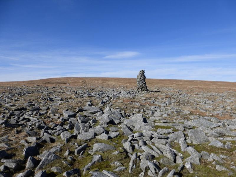
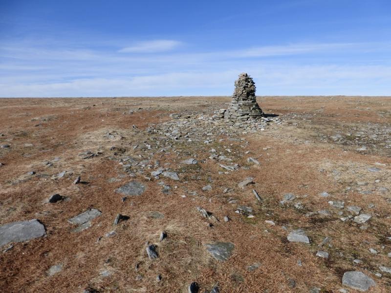
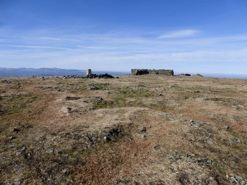
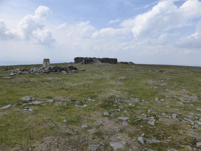
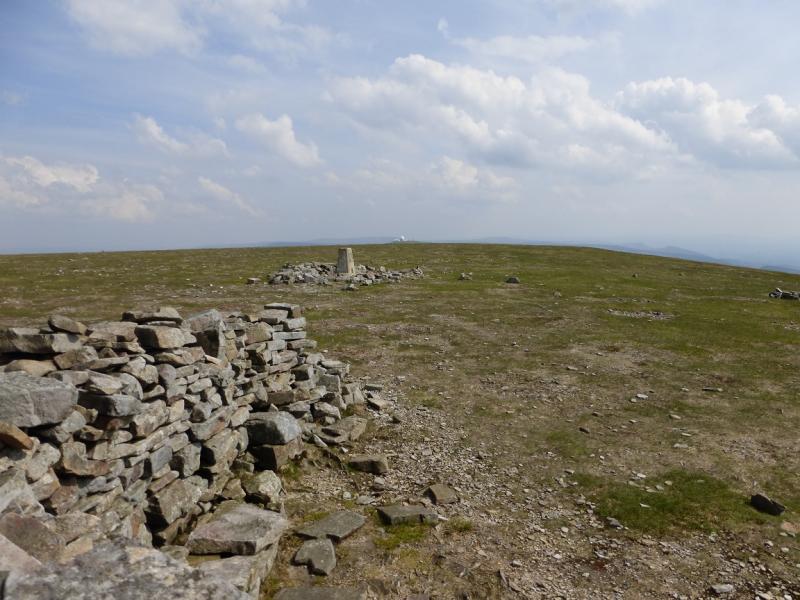
(3) Descend from the shelter cairn, still on the obvious Pennine Way, to another col then ascend up the SE flank of Cross Fell. At one point there is a stone direction marker laid flat in the ground. The path picks its way through a small boulder field to reach a tall cairn. Continue to a second tall cairn then on to the trig point and large cross shaped shelter cairn which mark the summit of Cross Fell, 893 m.
(4) Retrace the outward route back to the start.
Notes
(a) This walk took place on 11th March, 2014.
(b) With two cars or a bicycle, it looks very possible to walk off Cross Fell, to reach the track which leads down to Kirkland. A walk, starting in Dufton, which uses this descent has been uploaded.
Photos - Hover over photo for caption. Click on to enlarge. Click on again to reduce.