Get Lost Mountaineering
You are here: England » Lake District » 2 Far Eastern Fells
Kentmere Horseshoe via Yoke, Ill Bell, Froswick, Thornthwaite Crag/Beacon, High Street, Mardale Ill Bell, Harter Fell, Kentmere Pike, Goat Scar & Shipman Knotts from Kentmere Church
Kentmere Horseshoe via Yoke, Ill Bell, Froswick, Thornthwaite Crag/Beacon, High Street, Mardale Ill Bell, Harter Fell, Kentmere Pike, Goat Scar & Shipman Knotts from Kentmere Church
Start/Finish
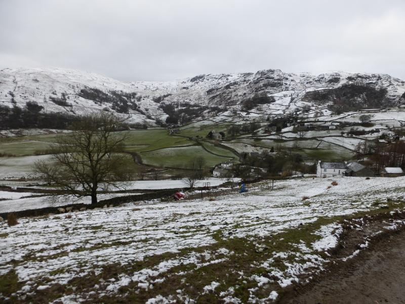
Parking spaces near Kentmere Church. On busy days, this “car park” will fill up very early. It is quietest mid-week out of season but even so can still fill up by 9 am as there are so few spaces available. In Summer, a field may be opened for extra parking but there is no way of knowing when this will happen. From Staveley, between Kendal and Windermere on the A591, follow the signs for Kentmere. The road is quite narrow and is used by heavy lorries.
Distance/Time
19 km About 6 - 7 hours
Peaks
Yoke, 706 m, NY 438 067.
Ill Bell, 757 m, NY 437 077.
Froswick, 720 m, 435 035.
Thornthwaite Crag/Beacon, 784 m, 432 100.
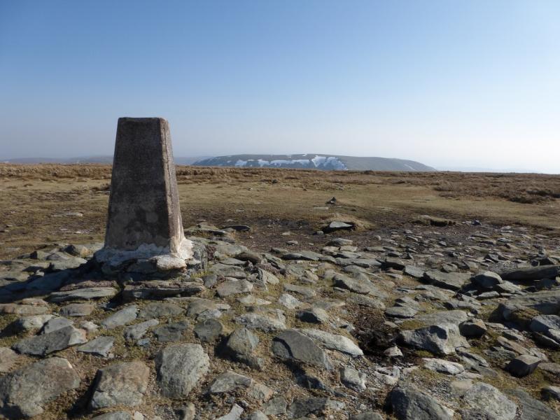
High Street, 828 m, NY 441 111.
Mardale Ill Bell, 761 m, NY 447 101.
Harter Fell, 778 m, NY 460 093.
Kentmere Pike, 730 m, 466 078.
Goat Scar, 626 m, NY 473 069.
Shipman Knotts, 587 m, 472 063. OS 1: 50 000, sheet 90.
OS 1: 25 000 Outdoor Leisure 7, English Lake District SE Area.
Introduction
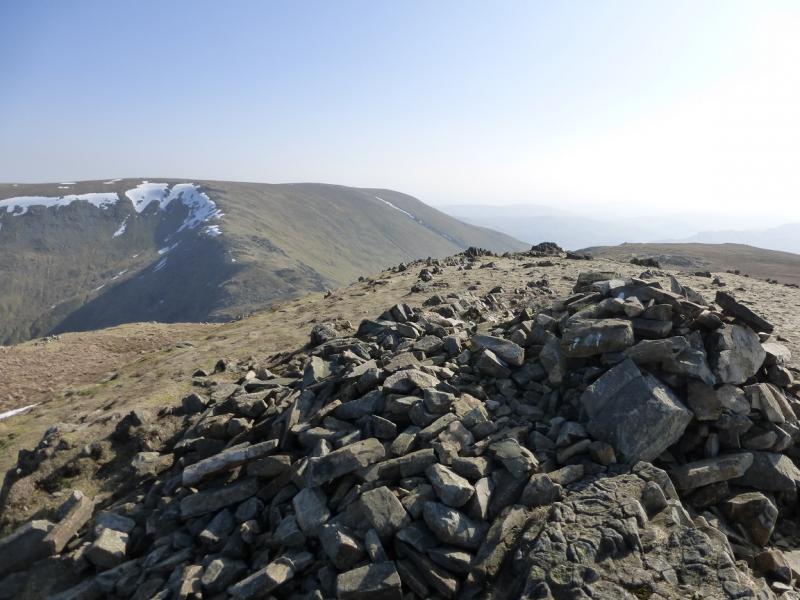
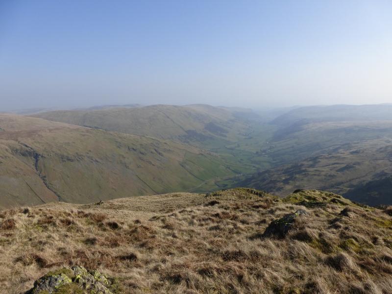
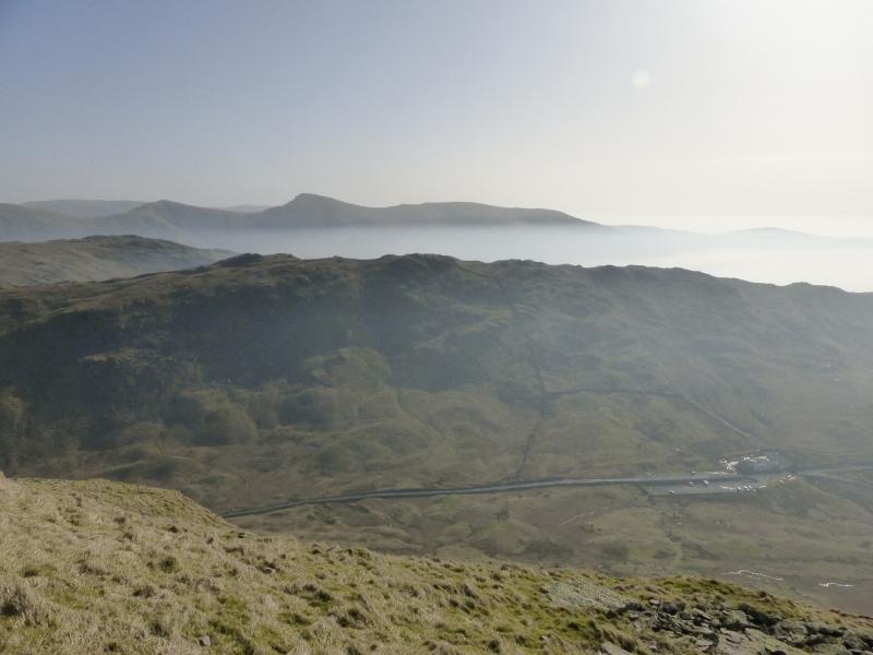
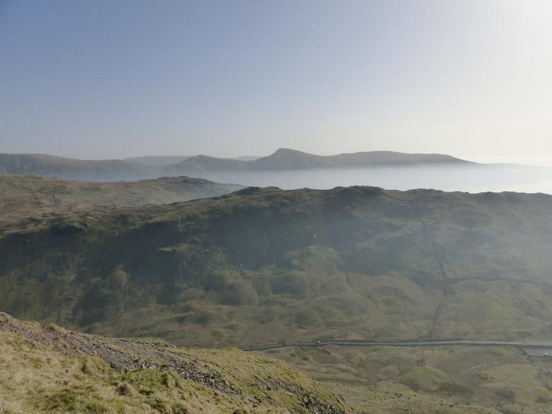
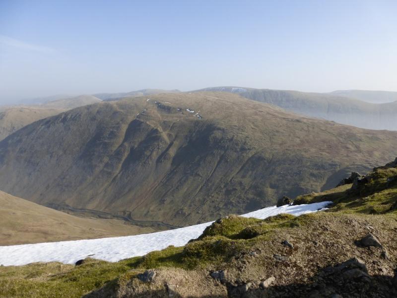
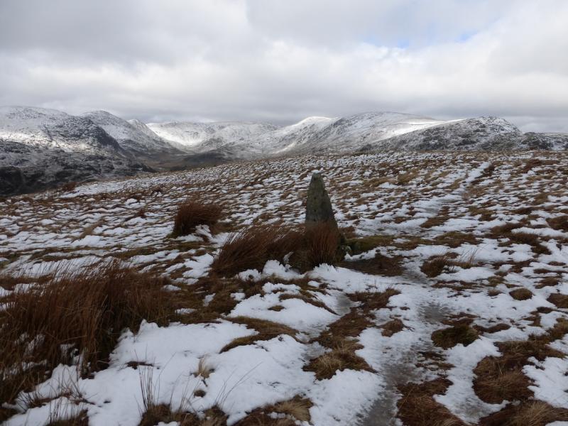
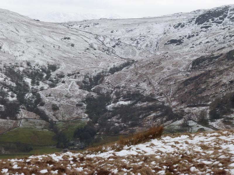
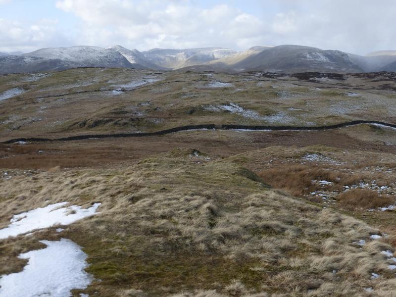
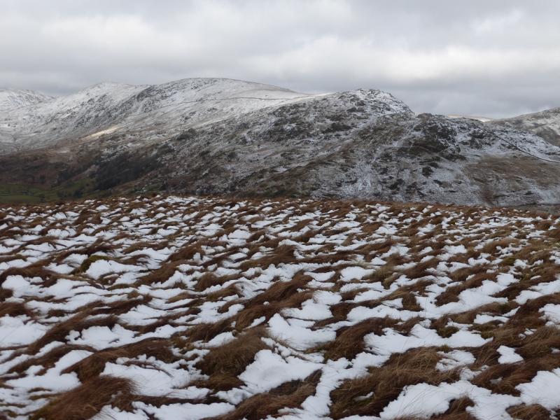
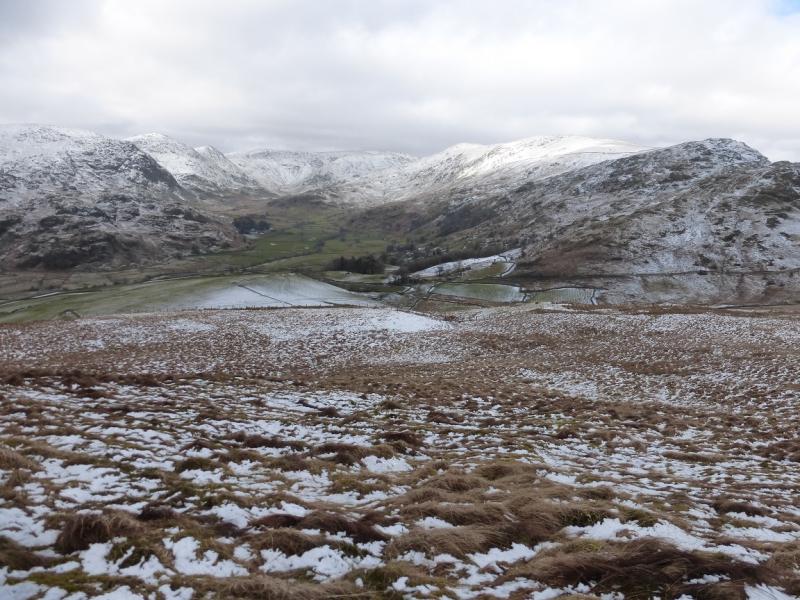
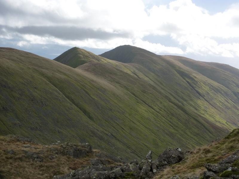
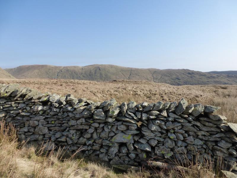
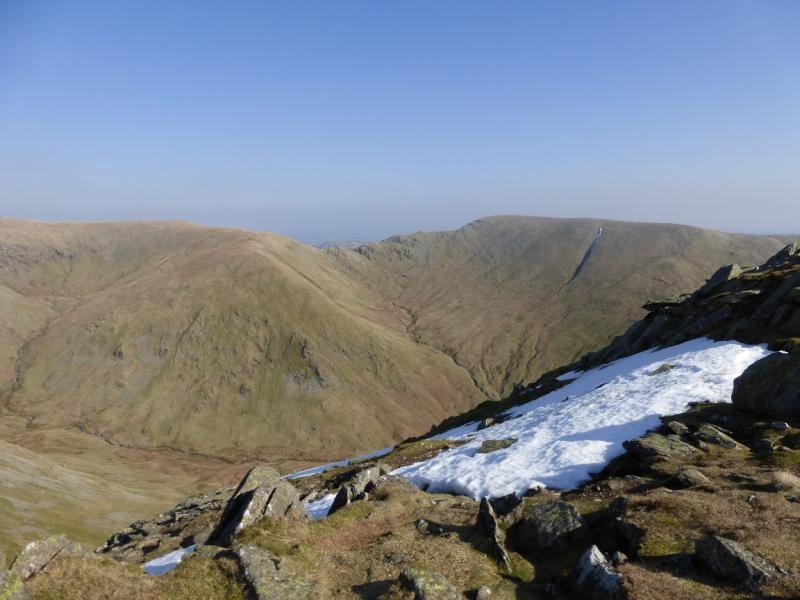
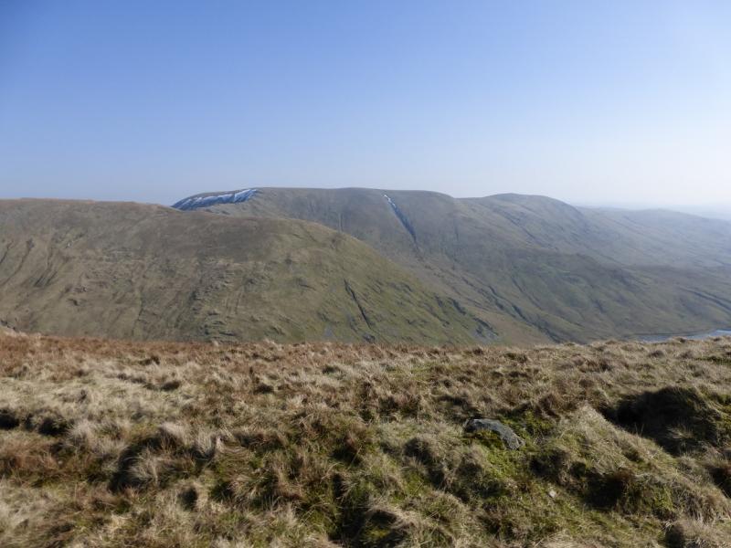
This is one of the classic Lakeland horseshoes. It is tough and strenuous and many take longer than 7 hours to get round, even in good conditions. It is a bit of a slog to the first summit, Yoke, but after that, the summits come thick and fast. Views are excellent and include Red Screes, Stony Cove Pike, The tongue, Wansfell, Helvellyn range, Rampsgill Head, Kidsty Pike and High Raise, Branstree, Tarn Crag and Grey Crag. In very clear conditions, one can see the Scafells, Great Gable, Cross Fell and even Ingleborough. Take your camera and go on a good weather day.
Route
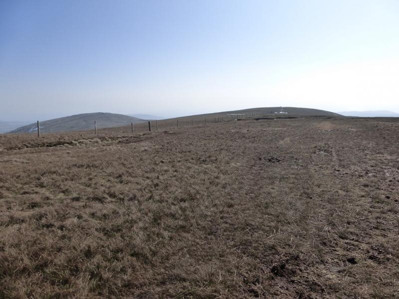
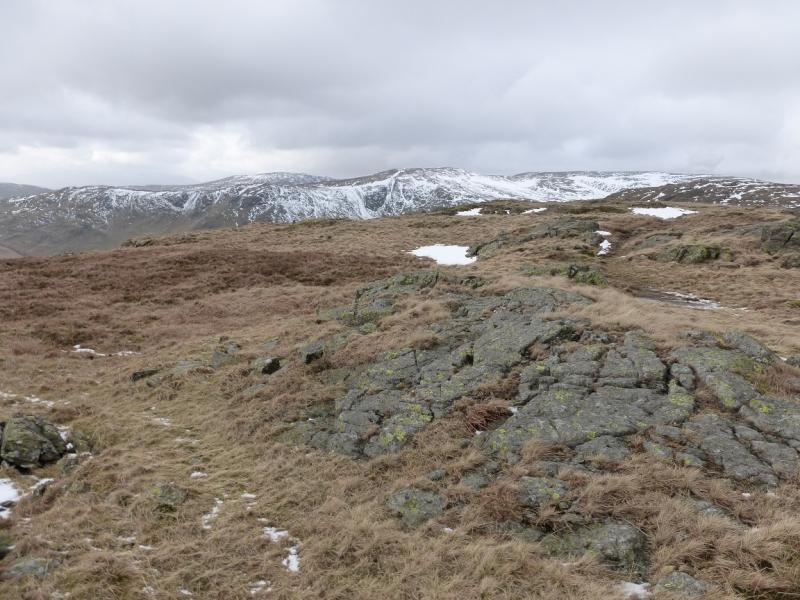
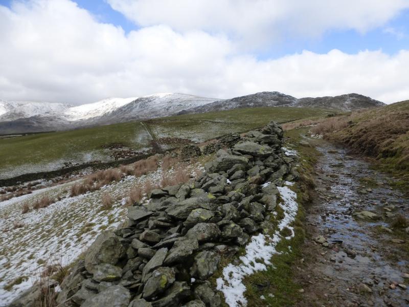
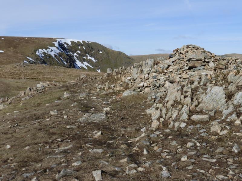
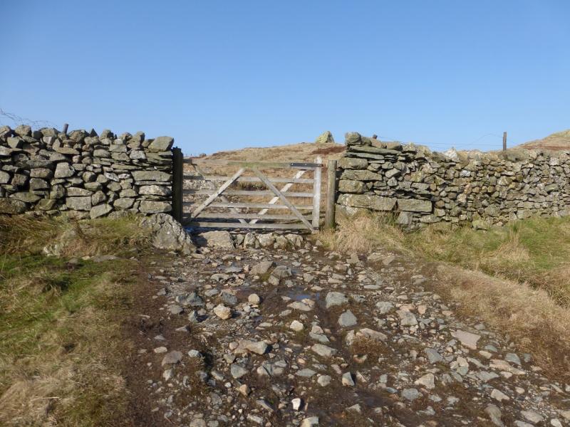
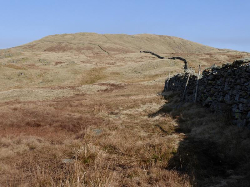
(1) From the church/village hall, continue along the road, almost to its end, where a sign indicates a right turn up a track for Garburn Pass. Follow the stony track to a gate and wall just below its highest point. Continue a little further before turning right, N, along a faint path which shadows the wall which will be on your right. After some distance, the path becomes an engineered gravel path and leads up to a medium cairn which marks the summit of Yoke, 706 m.
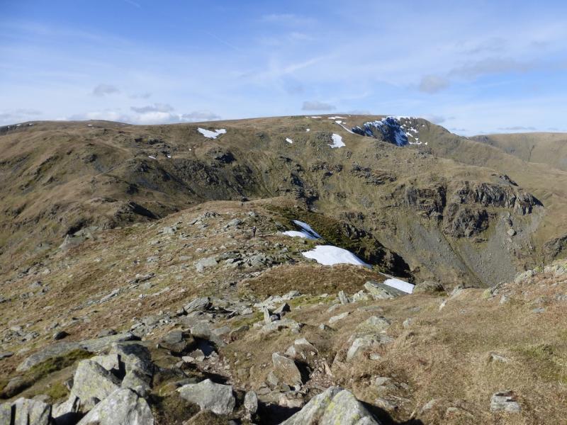
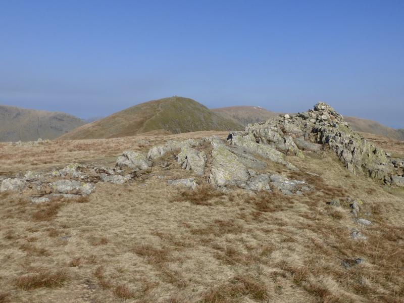
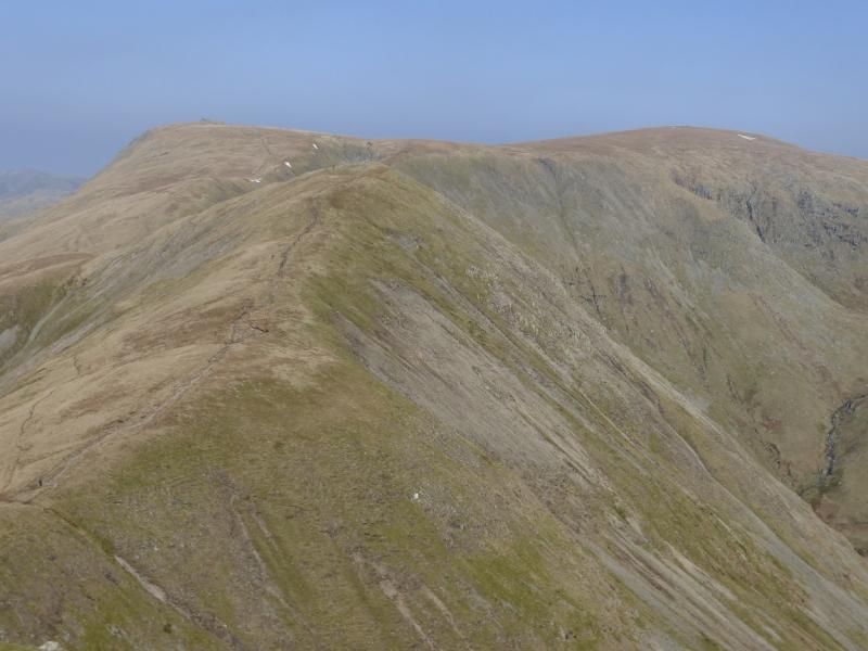
(2) Still on the very good path, descend a little, heading roughly N, then ascend to a plateua with three distinctive large cairns. The middle one marks the summit of Ill Bell, 757 m.
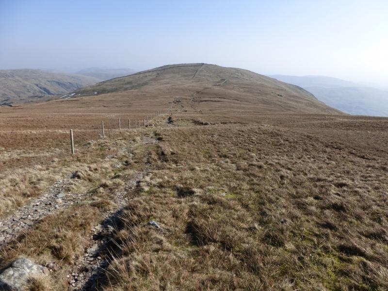
(3) Still on the good path, descend NW then N to a col then ascend up to a medium cairn which marks the summit of Froswick, 720 m.
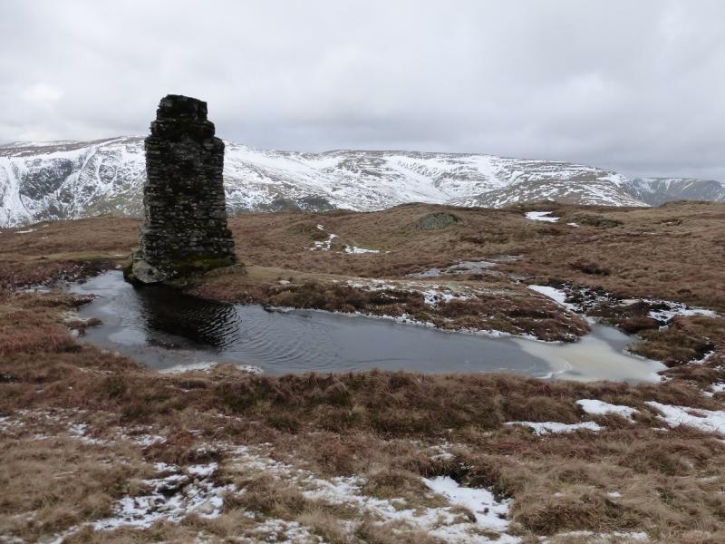
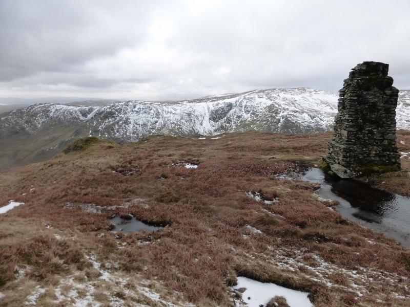
(4) Still on the good path, descend NW then N to a deep col then make the long ascent of the S ridge which leads to the unmistakeable tall beacon which marks the summit of Thornthwaite Crag/Beacon, 784 m.
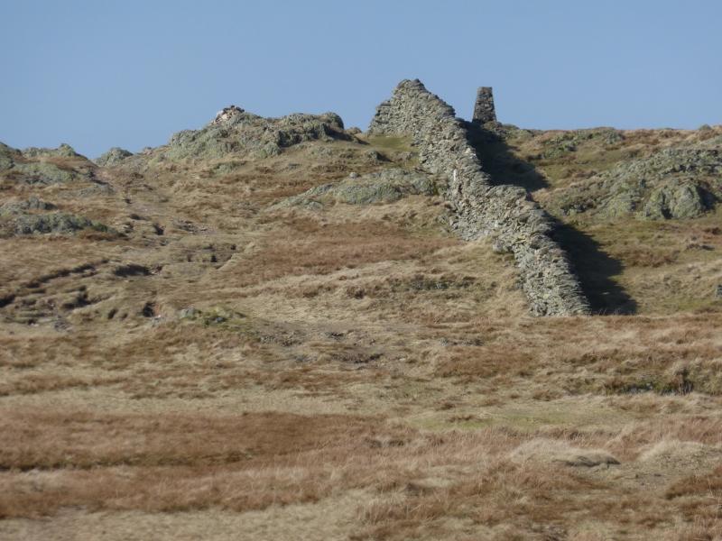
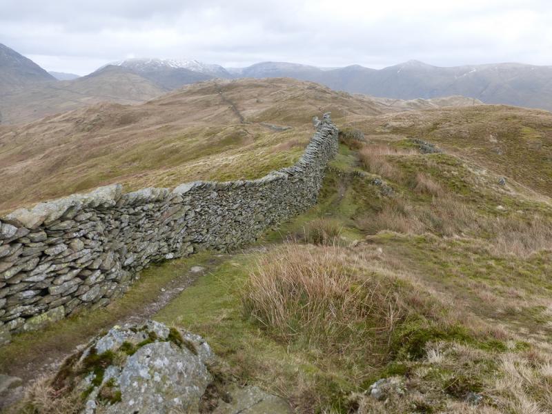
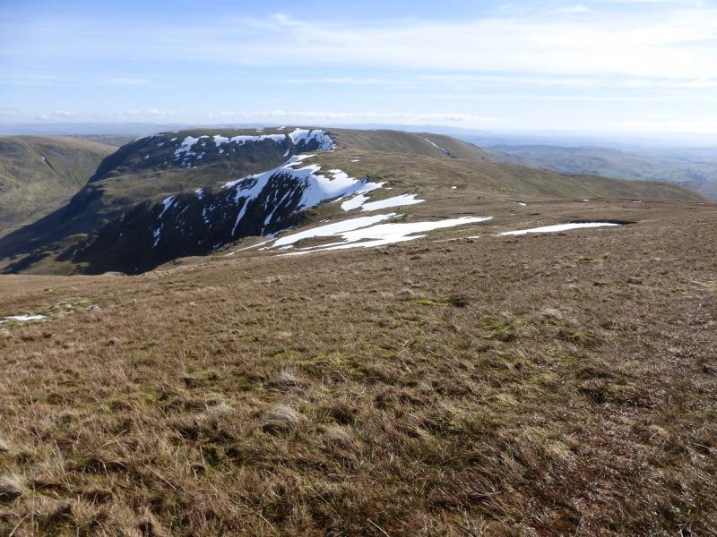
(5) Descend roughly E on an extremely obvious path which then ascends NE then N and then follows a wall to the trig point which marks the summit of High Street, 828 m.
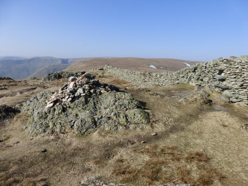
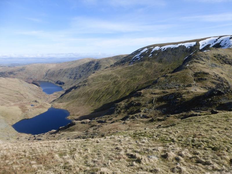
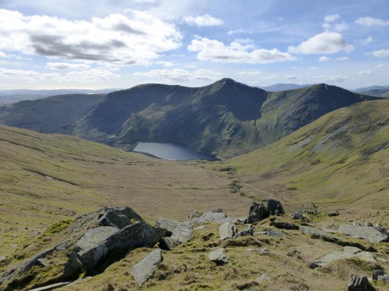
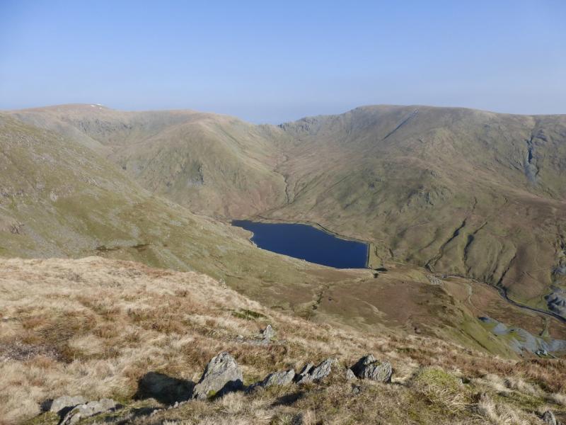
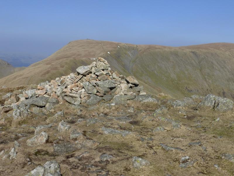
(6) Walk S along the wall for about 200 m then drift towards the edge on the left to pick up a faint path which later joins a much more obvious path coming from further down the wall. Follow this down then up slightly to reach the large cairn which marks the summit of Mardale Ill Bell, 761 m.
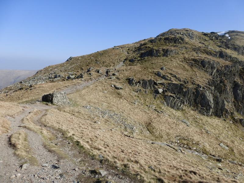
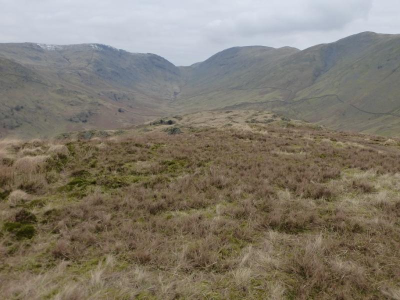
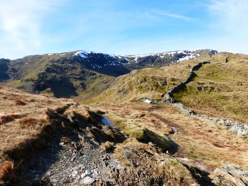
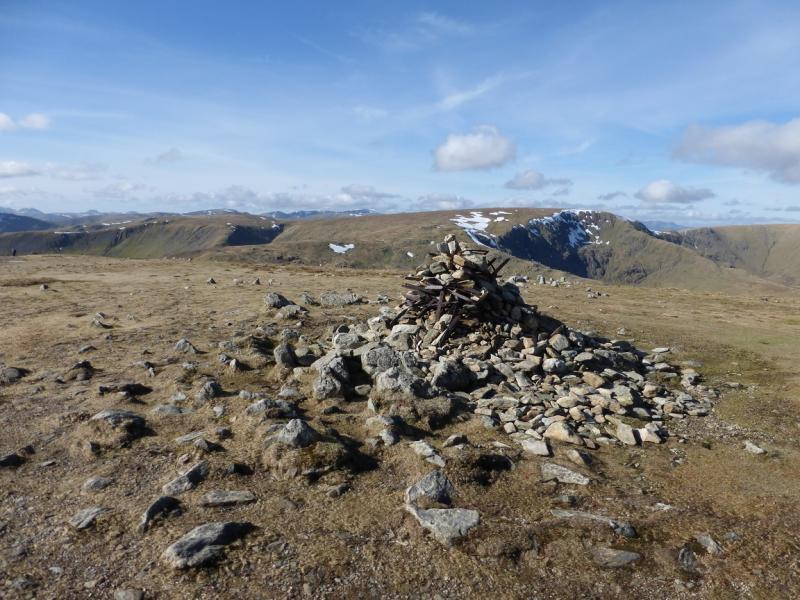
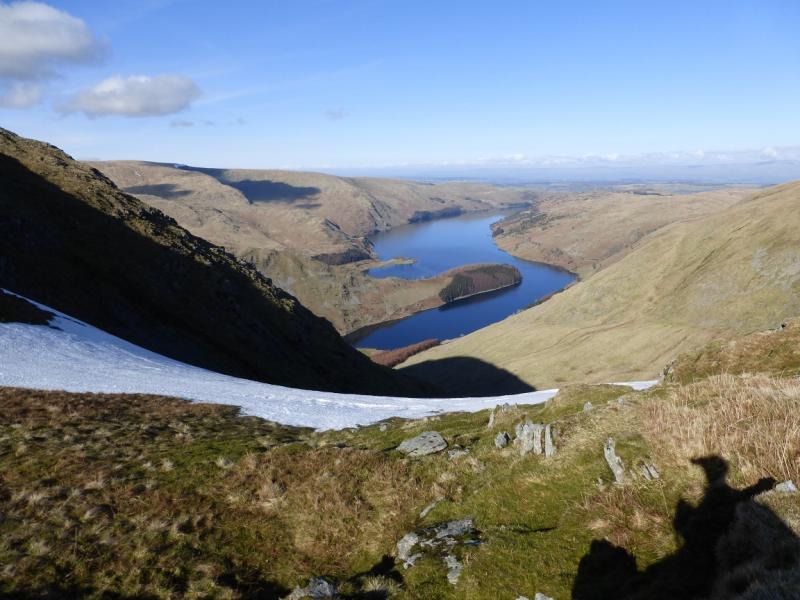
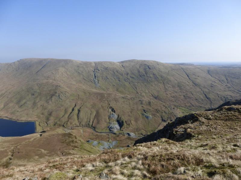
(7) Descend SSE, on a very obvious path, which gradually turns E and leads down to Nan Bield Pass where there is a large shelter cairn. There is a col just before this which also has a cairn and may be confusing in mist. Continue up the other side to reach the large cairn, with some iron work in it, which marks the summit of Harter Fell, 778 m.
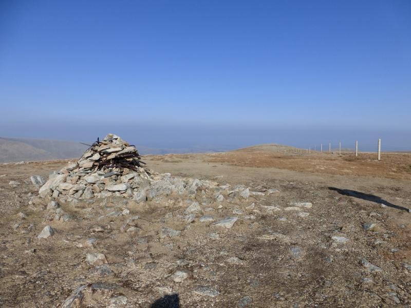
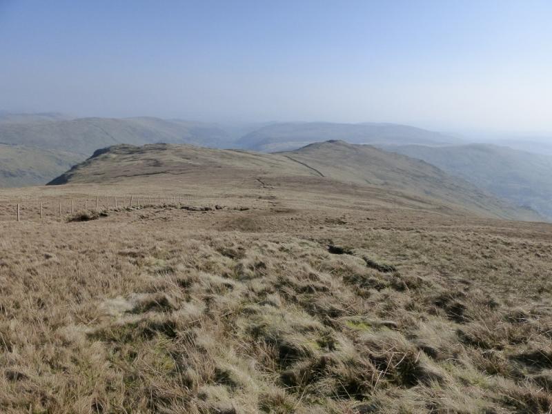
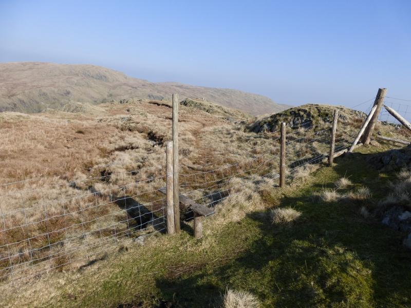
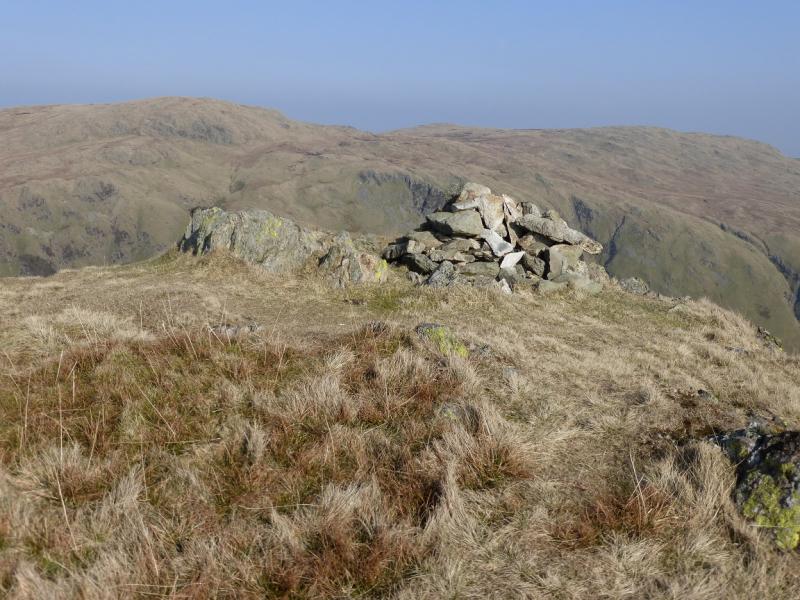
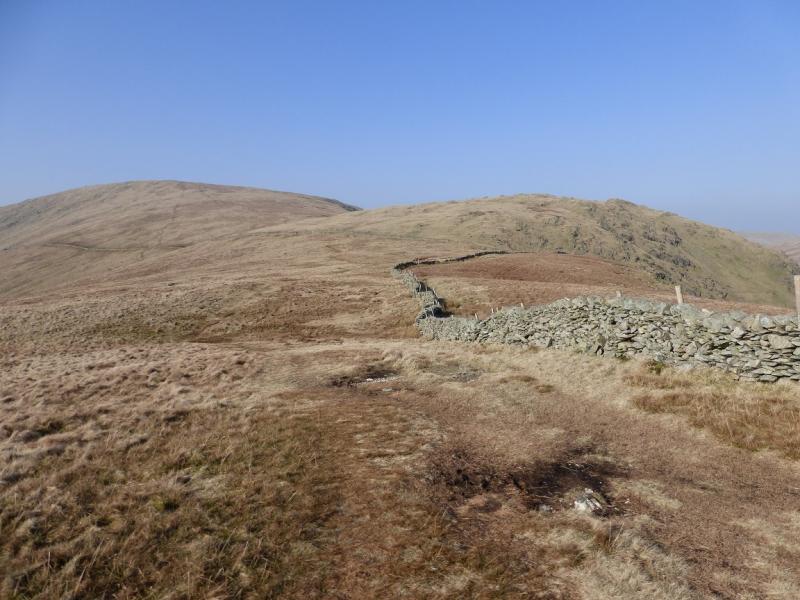
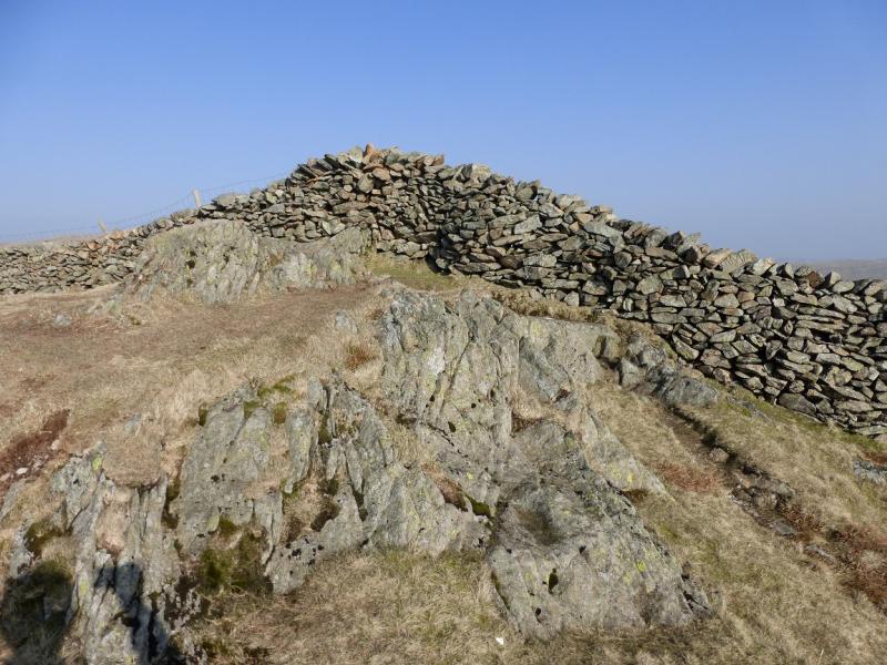
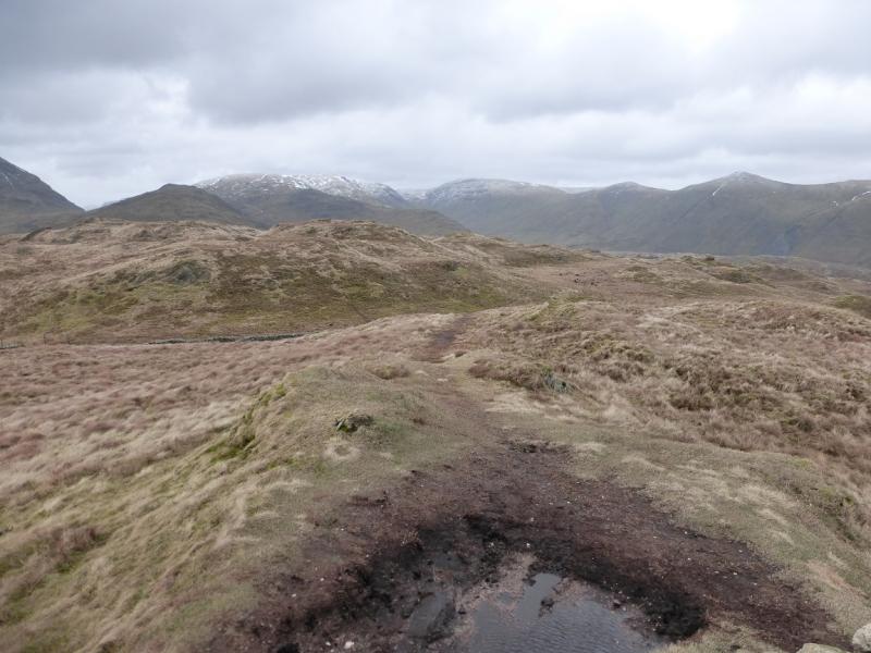
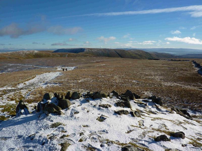
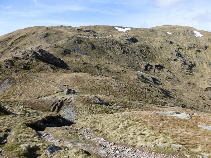
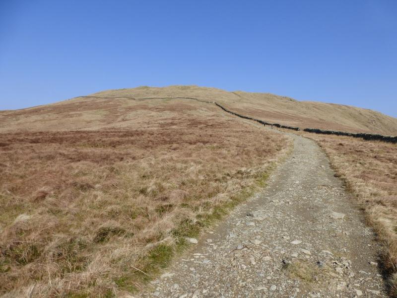
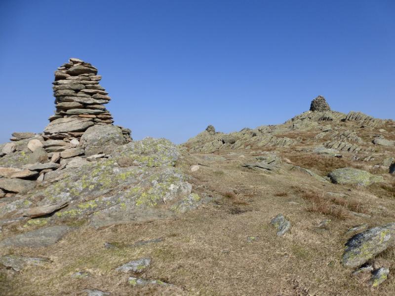
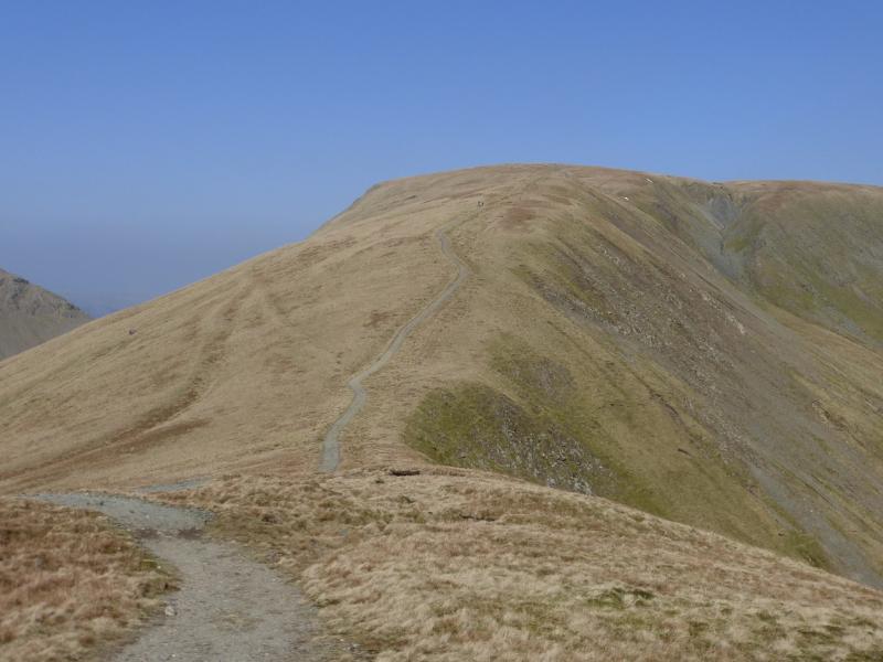
(8) Follow the fence S over Knowe and Brown Howe where it swings more to the E and ascend easy slopes to the medium cairn and trig point, on opposite sides of the stile over the wall, which mark the summit of Kentmere Pike, 730 m.
(9) Descend gentle grassy slopes SSE but stay on the crest, following the fence to a corner. About 50 m across a stile is a cairn which seems to mark a viewpoint down Long Sleddale as the highest point here seems to be close to this corner where there is no cairn! However, this is Goat Scar, 626 m.
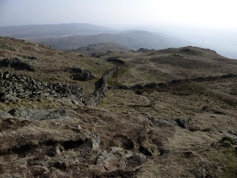
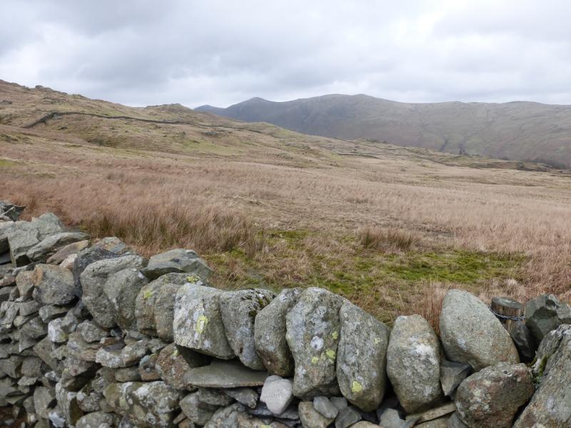
(10) Continue along the crest, initially following a fence then a wall to reach Shipman Knotts, 587 m. There does not seem to be a cairn here and there is no stile over the wall because there is no cairn there either. A broken wall goes off SW just after the highest point.
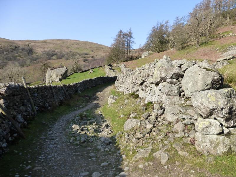
(11) From the summit, descend NW, over pathless ground, to reach which runs alongside the first wall encountered. This is the usual descent path from Kentmere Pike to Kentmere. Follow this down. It is rough in places but comes out at Hallow Bank. There are various ways back to the start but the simplest is to follow the very quiet tarmac road S, for about 1 km, until a reverse right fork is reached just before Green Quarter. Take this and follow it down to the main road at Low Bridge. Turn right and soon reach the church.
Notes
(a) This walk took place on 12th March, 2014, 7th August, 2000, and 28th August, 1987.
Photos - Hover over photo for caption. Click on to enlarge. Click on again to reduce.
![]()


![]()
![]()
![]()