Get Lost Mountaineering
You are here: England » Lake District » 1 Eastern Fells
Red Screes, Little Hart Crag, Dove Crag, Hart Crag, Fairfield, St. Sunday Crag & Gavel Pike from Kirkstone Pass (Linear walk)
Red Screes, Little Hart Crag, Dove Crag, Hart Crag, Fairfield, St. Sunday Crag & Gavel Pike from Kirkstone Pass (Linear walk)
Start/Finish
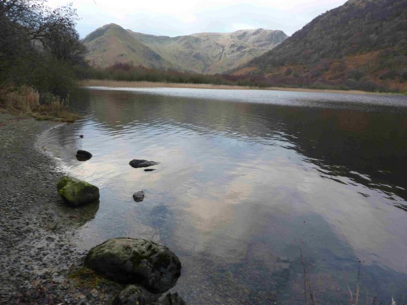
The start is at the top of Kirkstone Pass on the A592 road from Windermere to Penrith. The Kirkstone Pass road can be closed in Winter conditions. In summer, this car park can fill up quite early. The finish is at Cow Bridge car park which is at the NW corner of Brothers Water which is between Hartsop and Patterdale at the foot of Kirkstone Pass on the A592 road from Windermere to Penrith. The Kirkstone Pass road can be closed in Winter conditions so the finish may have to be reached from the Penrith side. In summer, this car park can fill up quite early.
Distance/Time
16 km About 7 hours
Peaks
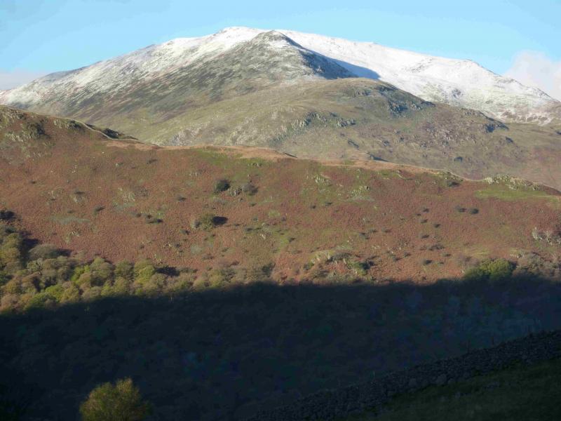
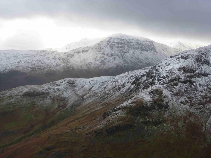
Red Screes, 776 m, NY 396 088.
Little Hart Crag, 637 m, NY 387 100.
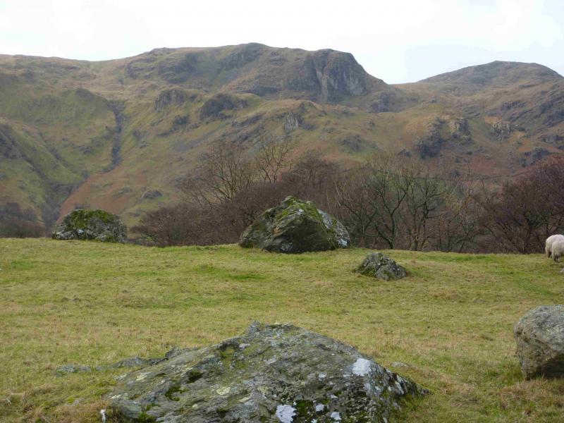
Dove Crag, 792 m, NY 374 105.
Hart Crag, 822 m, NY 368 113.
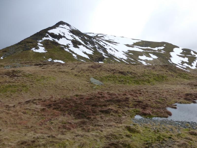
Fairfield, 873 m, NY 359 118.
St. Sunday Crag, 841 m, NY 369 134.
Gavel Pike, 784 m, NY 373 134. OS 1: 50 000 , Sheet 90.
OS 1: 25 000 Outdoor Leisure 5, English Lake District NE Area.
OS 1: 25 000 Outdoor Leisure 7, English Lake District SE Area.
Introduction
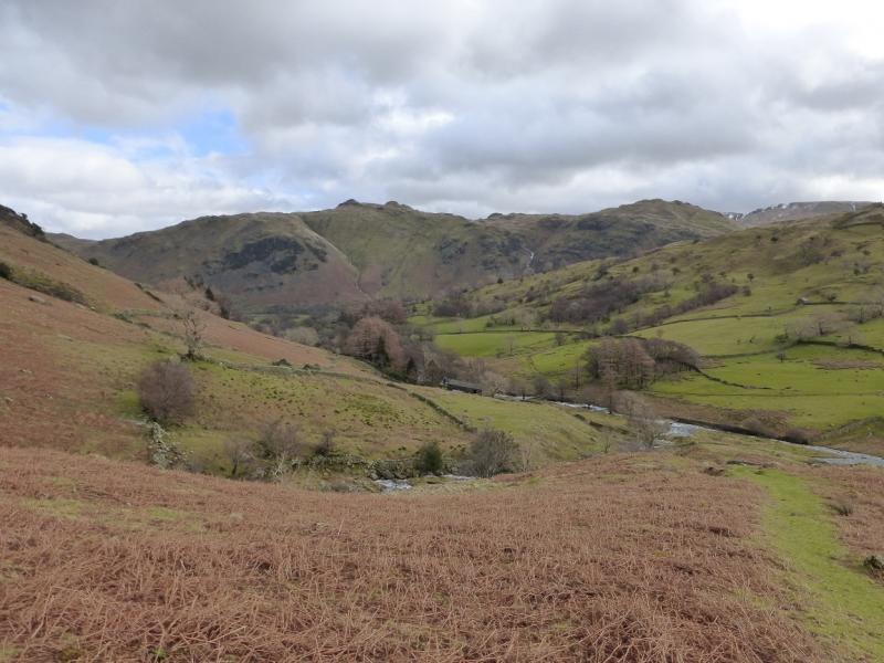
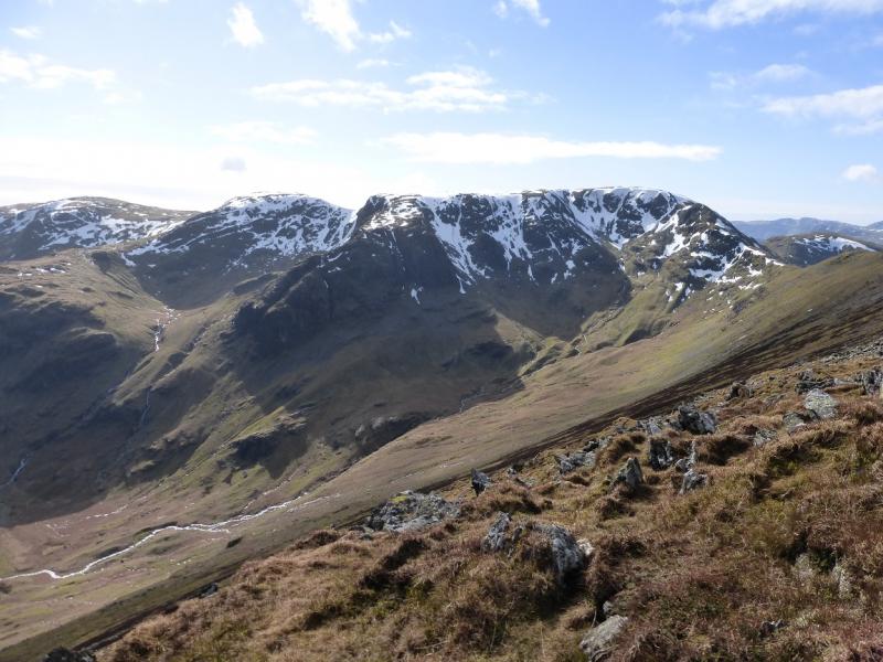
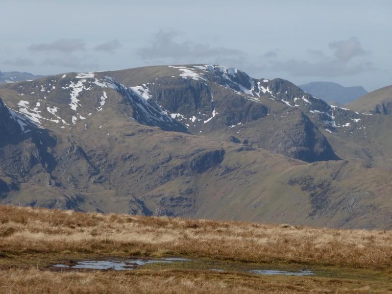
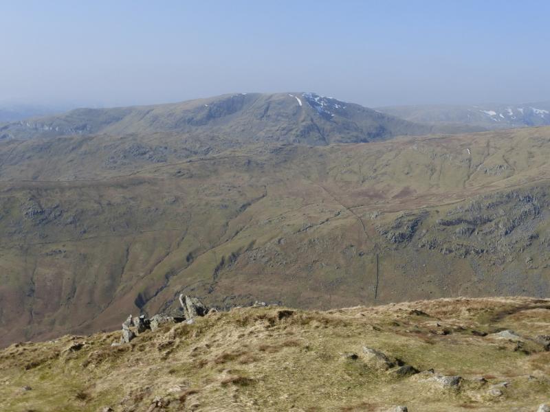
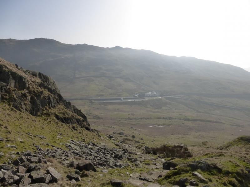
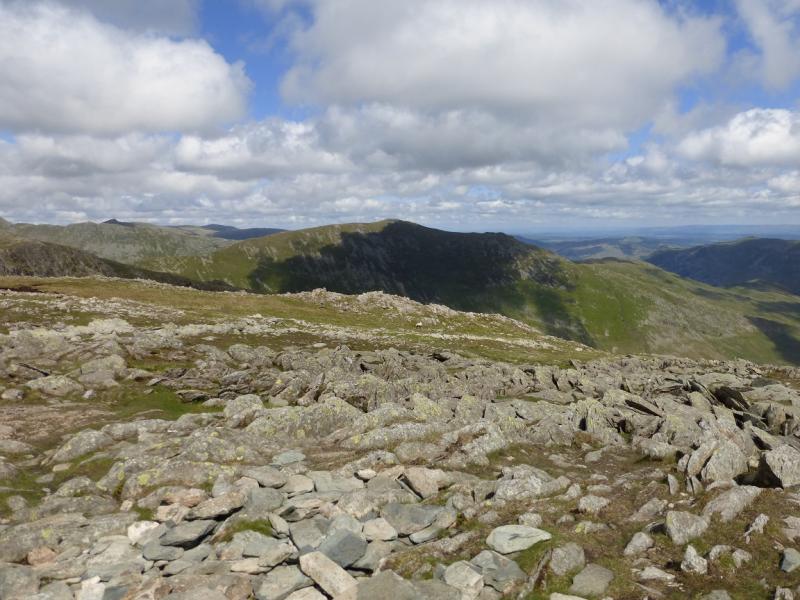
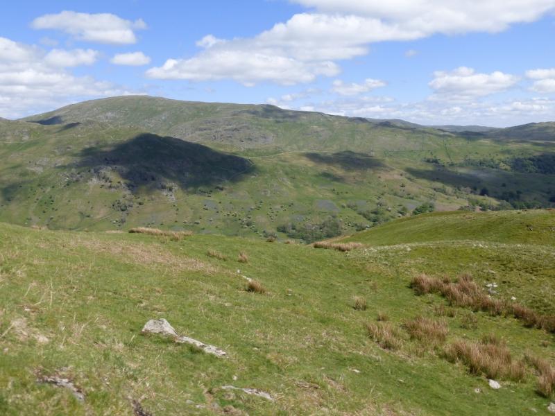
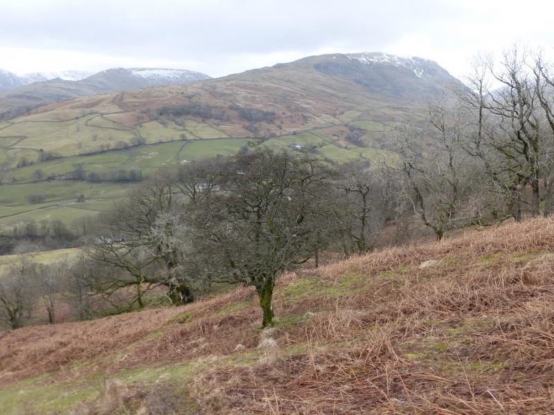
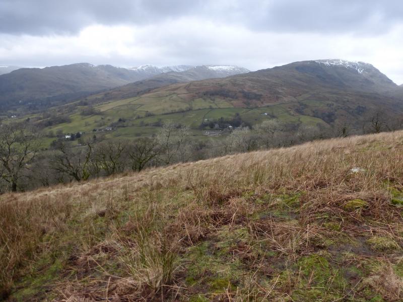
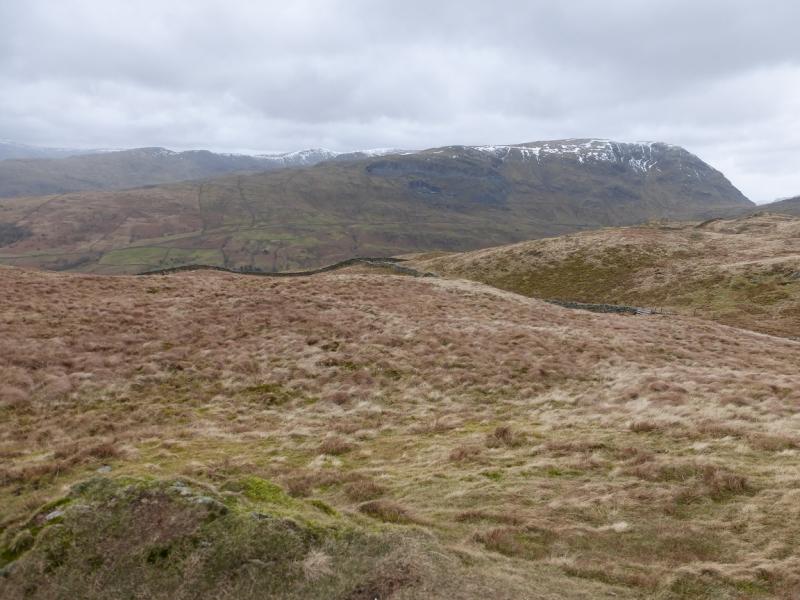
This is a linear walk. It does not finish where it starts. Two cars will be needed or you will need a friendly driver to drop you off at the start with your own car being at the finish. In Summer, a bus runs from Patterdale over Kirkstone Pass so this may help if you are on your own.This is a fairly strenuous walk but it can be completed during a mid-winter's day if the conditions allow. Parts of the route, especially the descent of Fairfield over Cofa Pike, are quite steep and would only be for the experienced under winter conditions. The crossings of Scandale Pass and Deepdale Hause involve considerable loss of height. This is an excellent walk for views on a clear day with the High Street range (across the Kirkstone road) and Helvellyn range very prominent. On a very clear day, the Coniston Old Man range, the Scafells and Great Gable will also be visible plus many more. Many people regard Fairfield as the centre of the Lake District.
Route
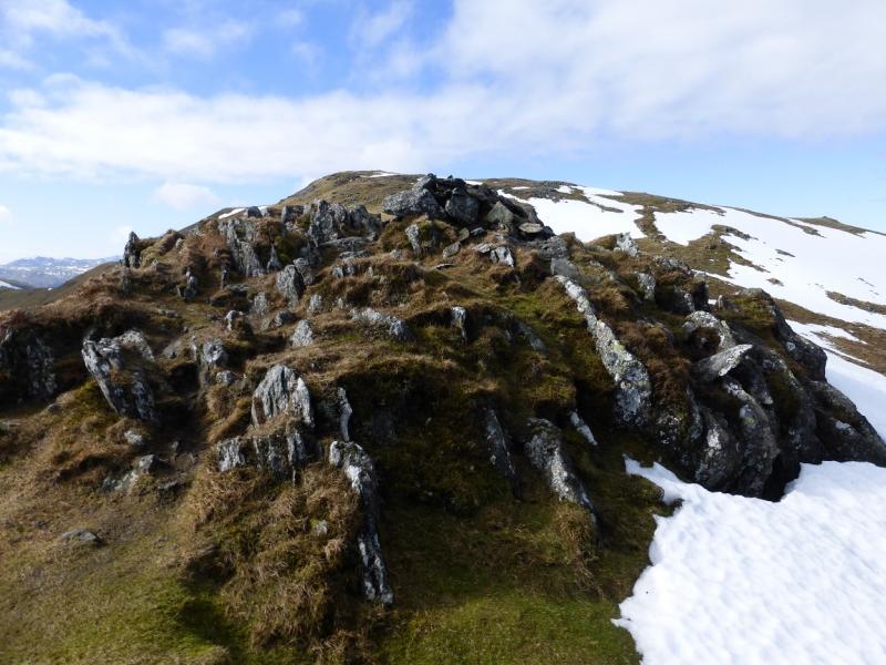
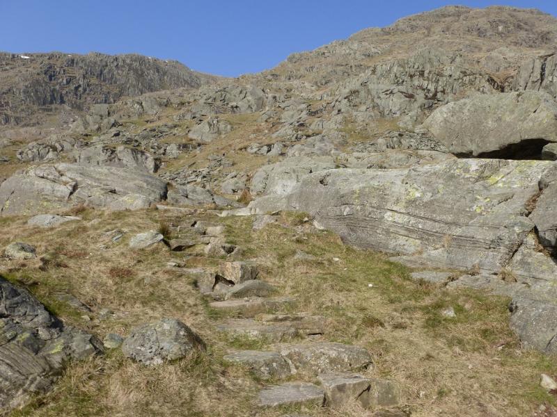
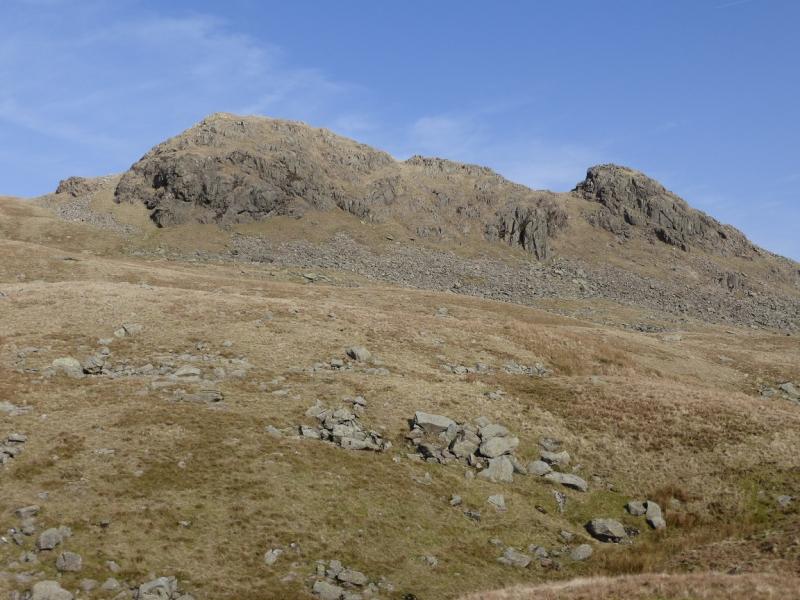
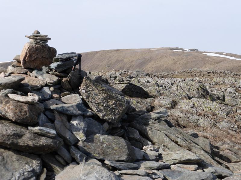
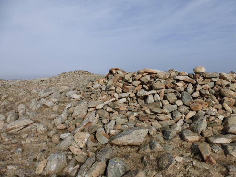
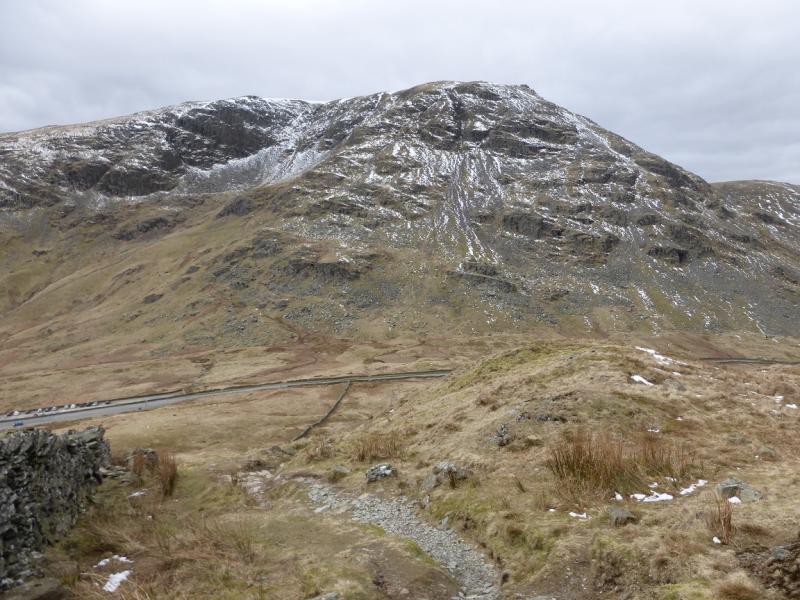
(1) At the N end of the car park on the W side of Kirkstone Pass summit is a footpath sign for Red Screes. Follow this and ascend the mainly engineered path. It is steep in places but straightforward in summer conditions. Eventually the path leads directly to the top where a traditional stone trig point and adjacent cairn mark the summit of Red Screes, 776 m. A small tarn lies to the W.
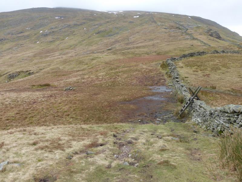
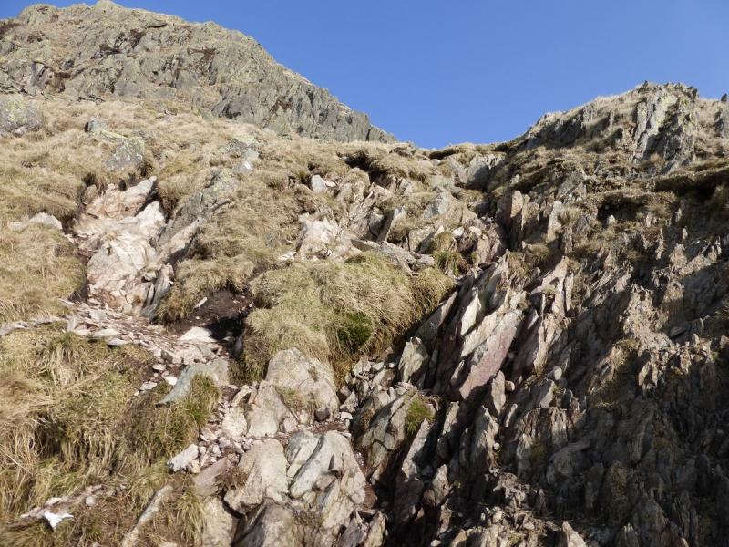
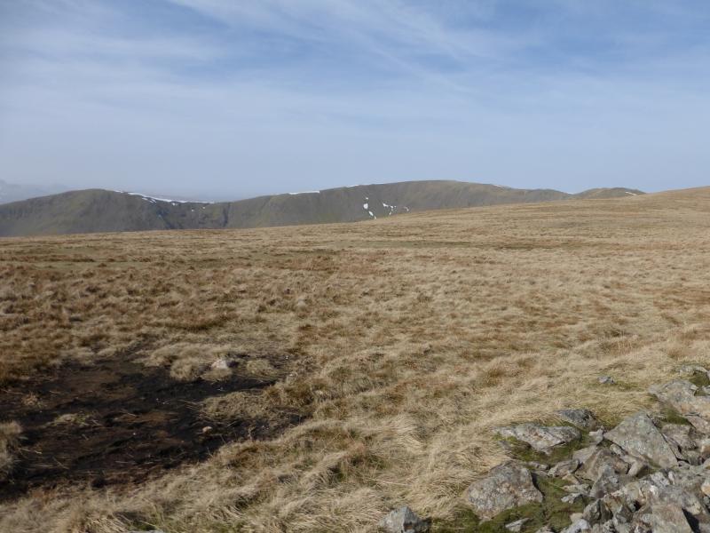
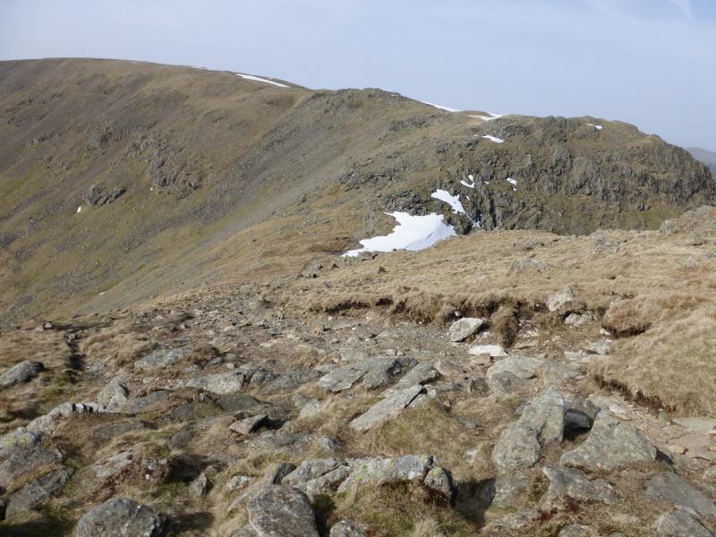
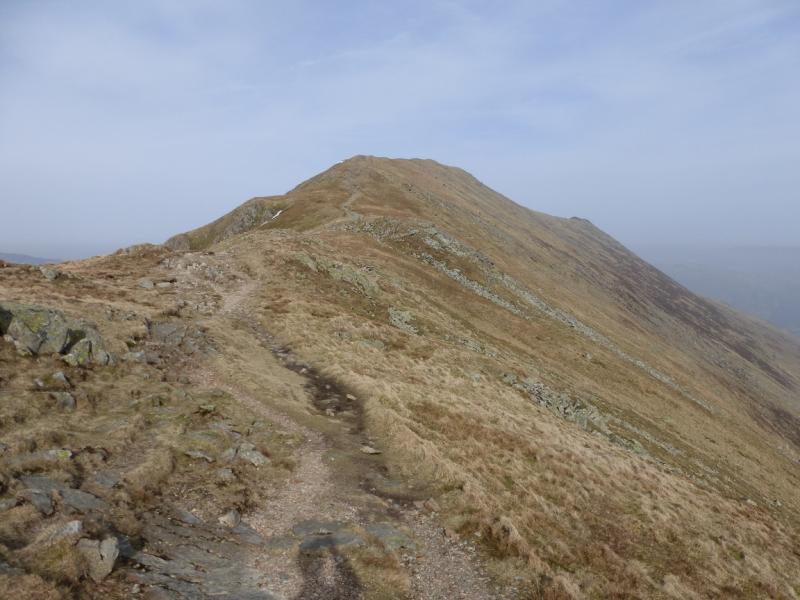
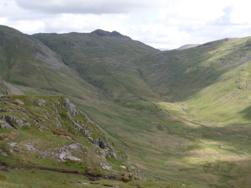
(2) Descend roughly NW on a path down easy slopes. The main path swings left then follows a wall but there is a less obvious path which is more direct. There is no problem just walking down the open slopes and the wall will be joined lower down just above Scandale Pass. Continue up the other side and reach the ridge just to the W of Little Hart Crag then go roughly E and make the short ascent on a path which ascends easily to the medium cairn which marks the summit of Little Hart Crag, 637 m.
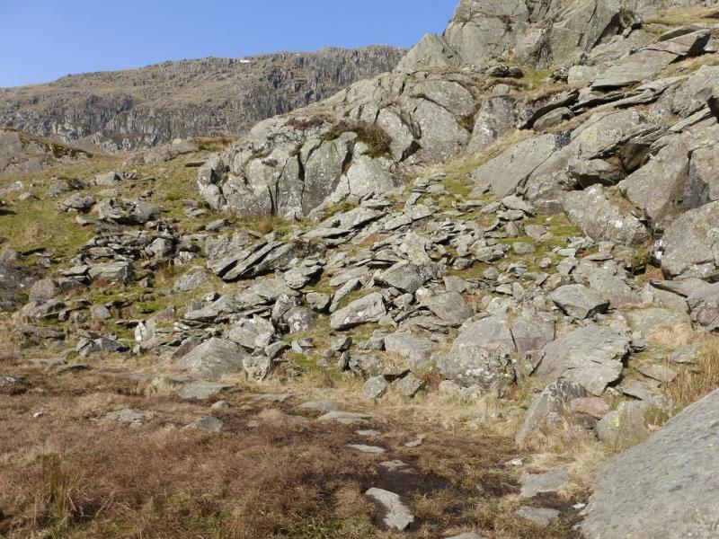
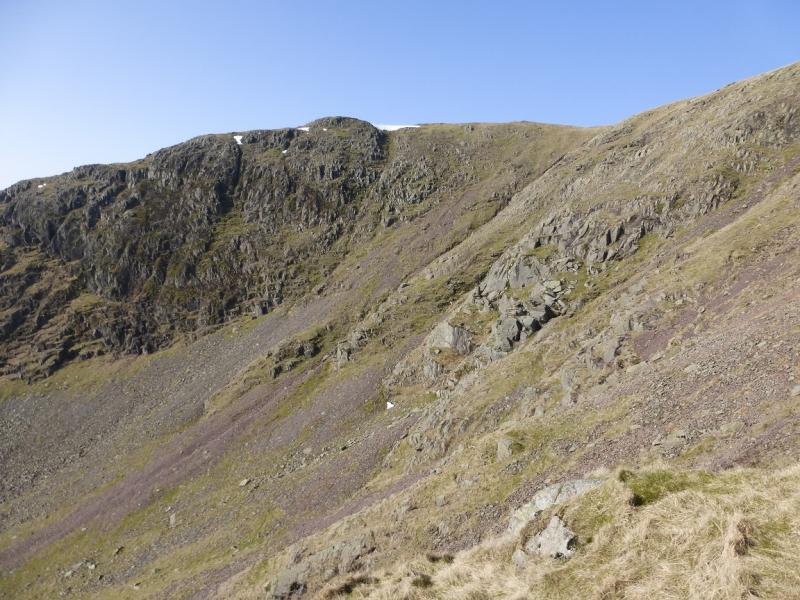
(3) Retrace back to the main path and follow it as it turns and ascends on to the ridge from Dove Crag to High Pike where there is a cairn. Turn right and follow the wall up on to a plateau where a medium cairn marks the summit of Dove Crag, 792 m. It is not unusual to see Ravens sitting on the wall near the summit.
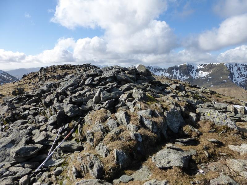
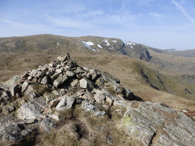
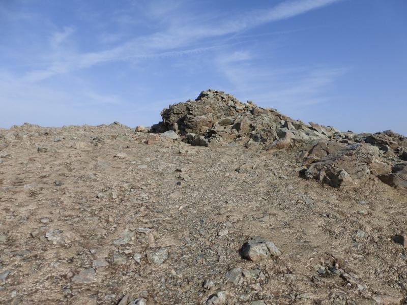
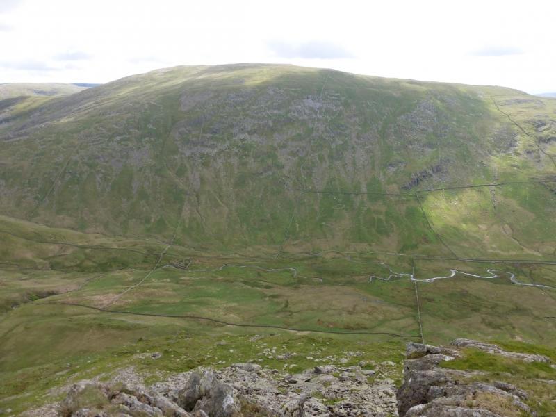
(4) Continue on the path, descending slightly then follow the path up. There is a boulder field so go to the right to find the path and follow it up to the medium cairn which marks the summit of Hart Crag, 822 m.
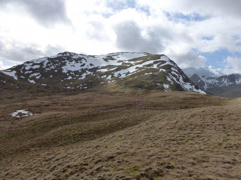
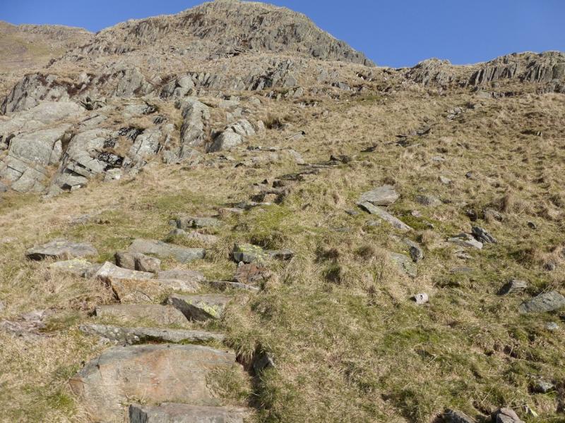
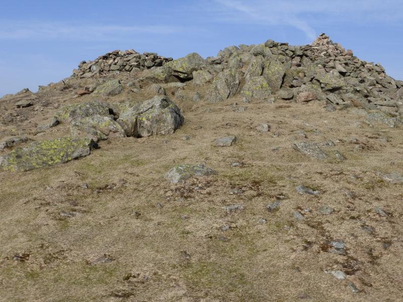
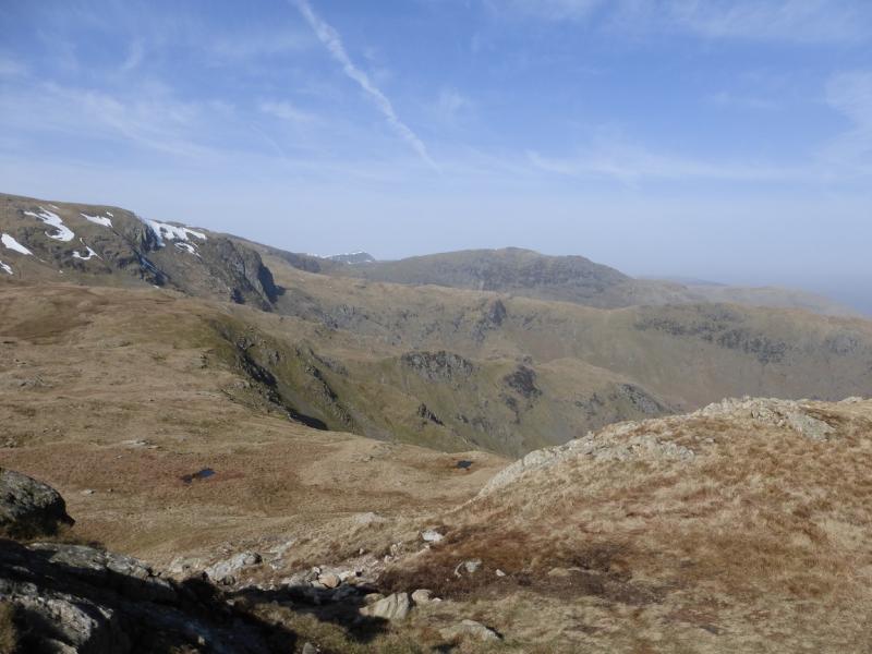
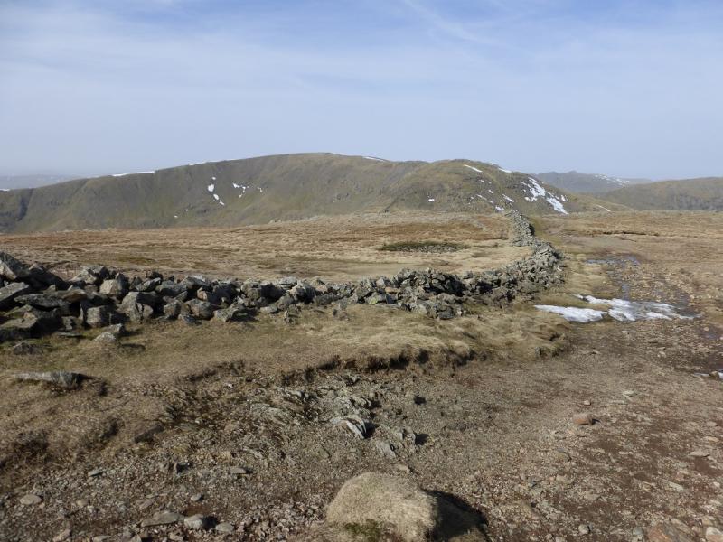
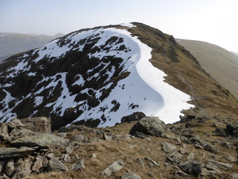
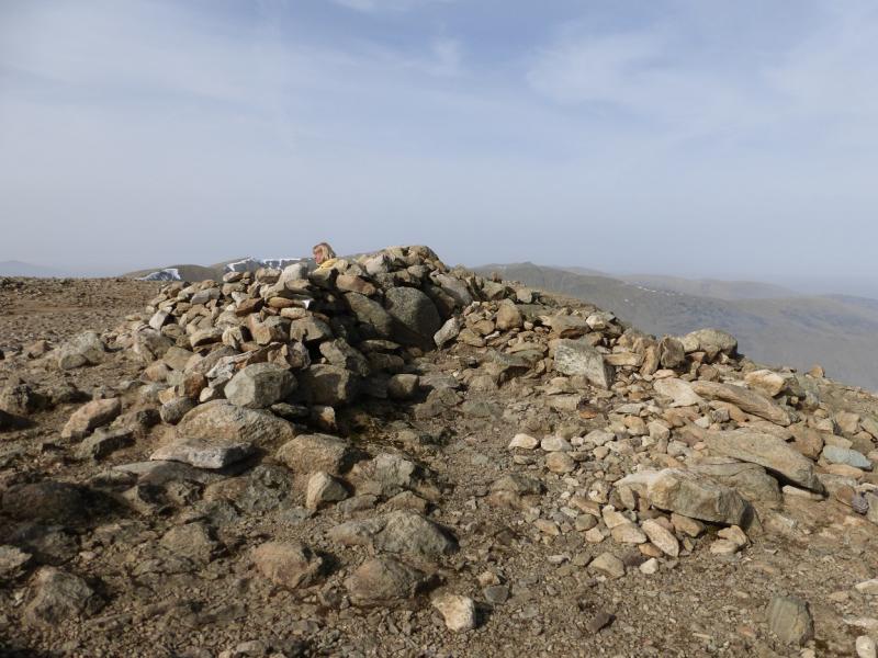
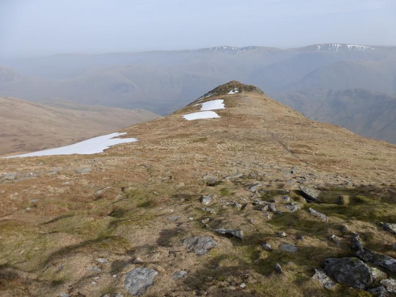
(5) Descend NW to a col then ascend the other side on a path which curves around to the W before swinging NW again to reach a large plateau where there are several cairns and shelter cairns, the highest of which marks the summit of Fairfield, 873 m. Even in clear weather, it is not obvious which cairn is the highest but they are all close together.
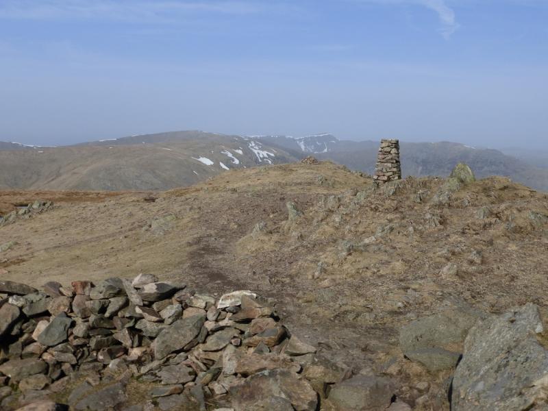
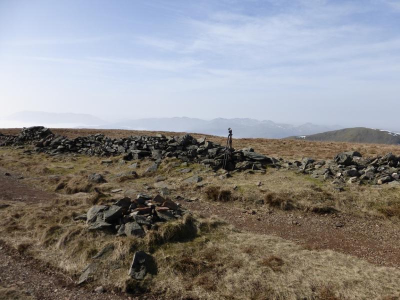
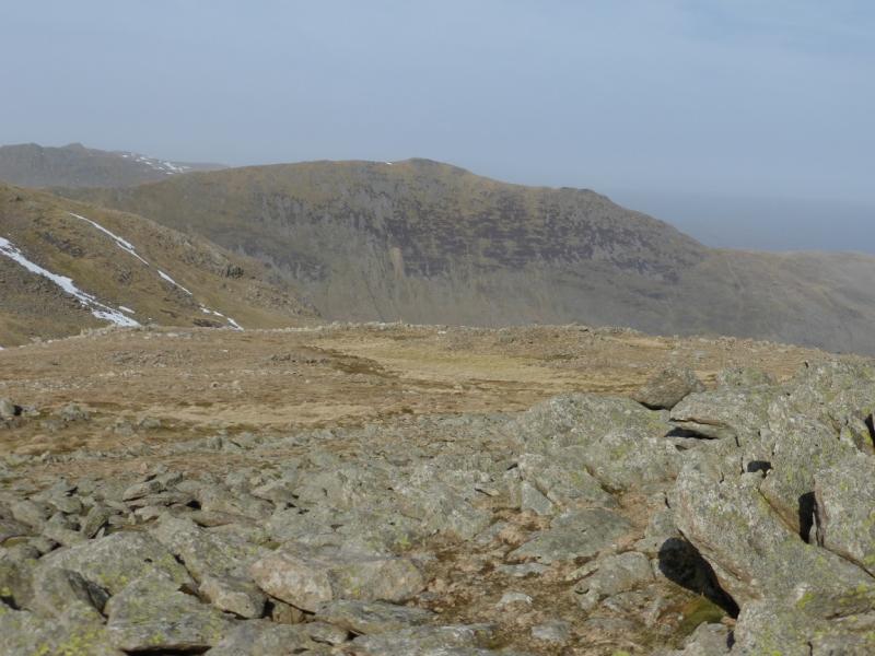
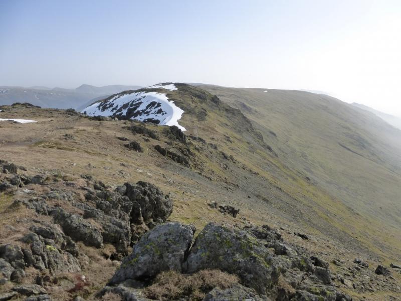
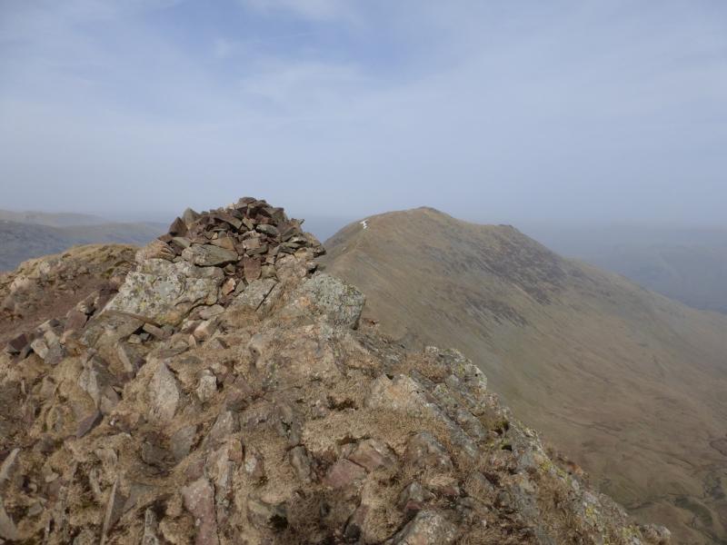
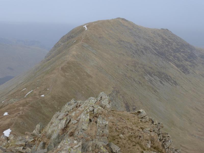
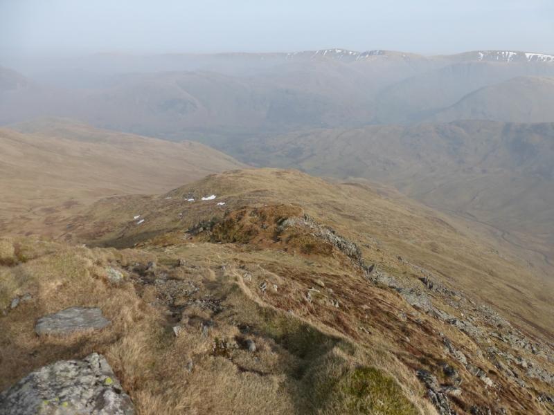
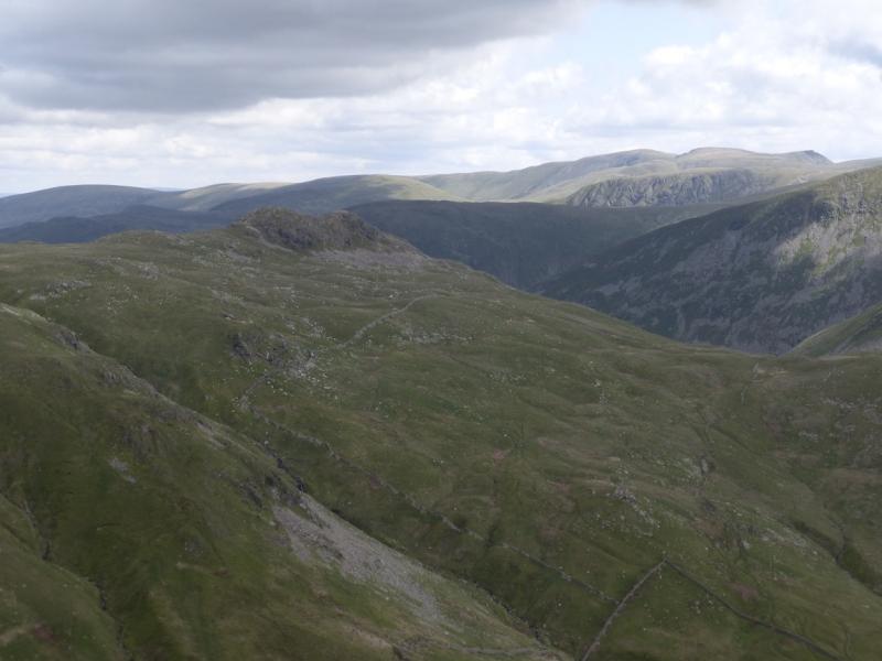
(6) From the summit, walk roughly N, with a cliff on your right and descend a steep and narrow ridge which needs care. Cofa Pike is a small attractive peak on this ridge and should not present any difficulties in summer conditions. Continue down to Deepdale Hause which is an obvious col. The path continues up the S ridge for some distance before reaching a small plateau where a medium cairn marks the summit of St. Sunday Crag, 841 m.
(7) Descend E for a short distance, on a path, from the summit to reach a top with a small cairn which is Gavel Pike, 784 m.
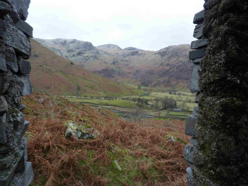
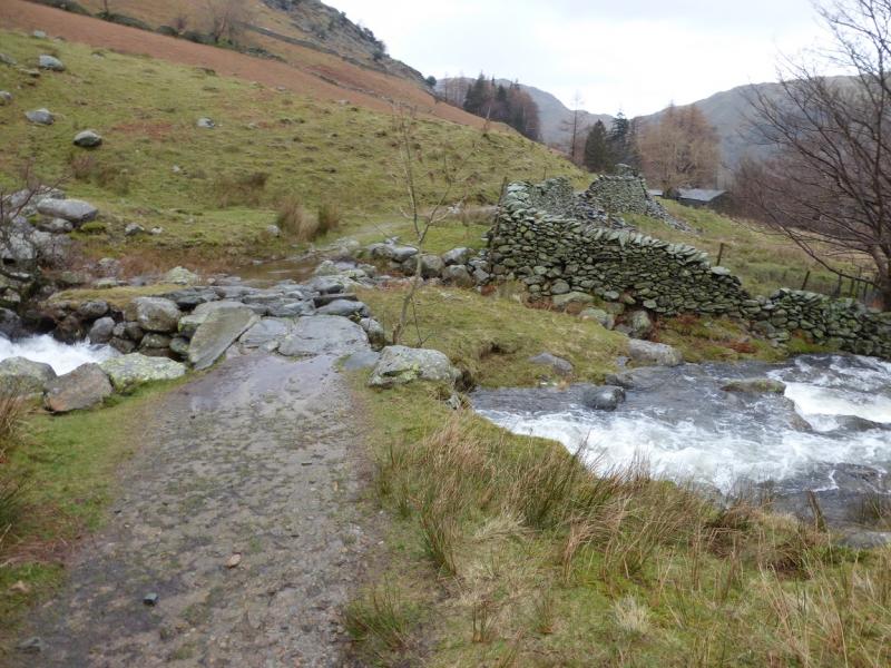
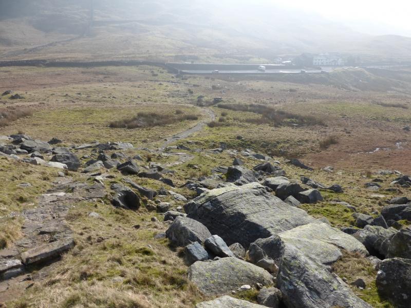
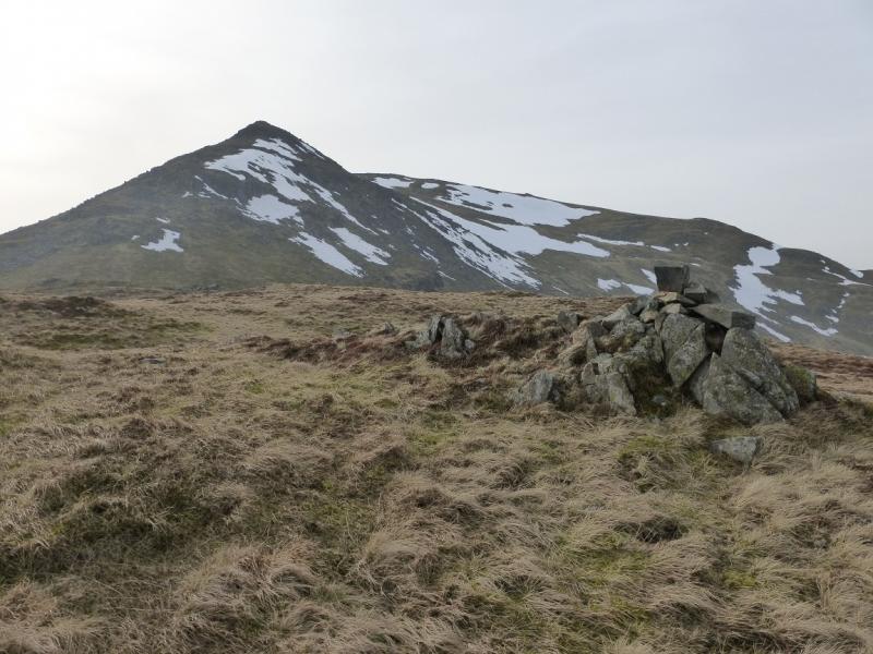
(8) Descend ENE down grassy slopes, on a faint path, to reach a flat shoulder known as Lord's Seat where there is a small cairn. From here, the path can be hard to follow. Many people drift too far left, ENE, when the path is more to the right, ESE, towards Latterhaw Crag which is on the edge overlooking Deepdale. If you find it, follow it down. It soon becomes a grassy track and decends to the valley bottom, crossing the beck just to the SE of Wall End. Follow the track past Wall End. Go through two gates to reach a tarmac road then go immediately right on a more minor tarmac road (grassy strip in the middle) to reach the A592 at Bridgend, where there is a telephone box about 30 m to the right, S. Follow the road until a path climbs up alongside the right of the road and goes through a small gate. This path shadows the road all the way back to Cow Bridge.
Notes
(a) This walk took place on 13th March, 2014.
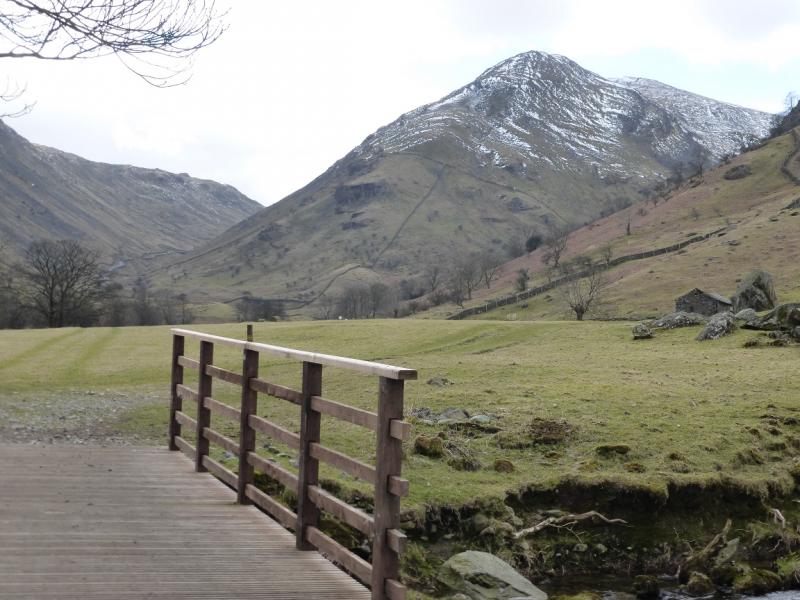
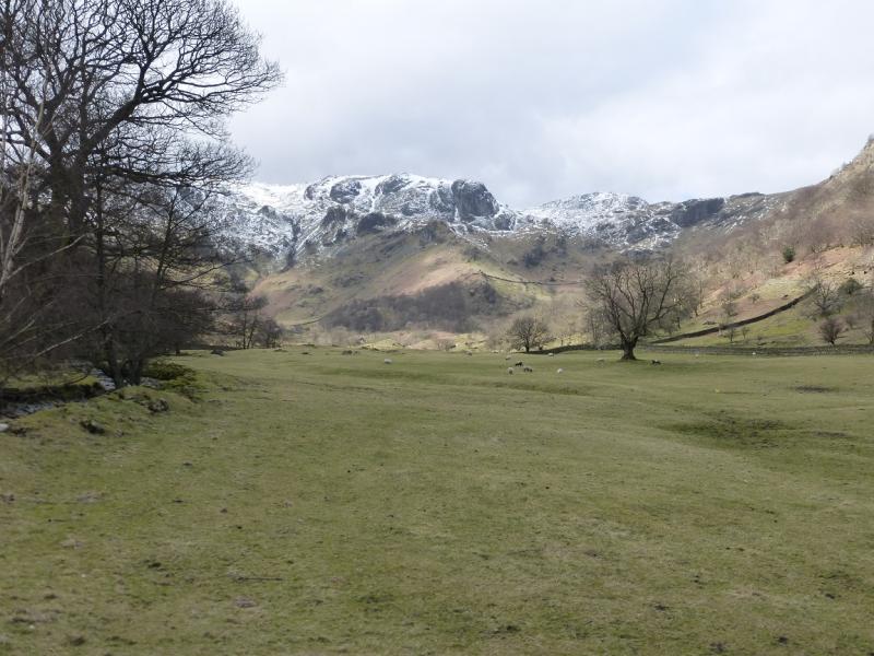
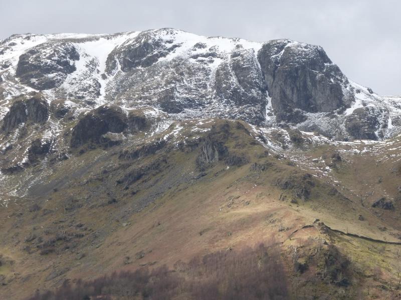
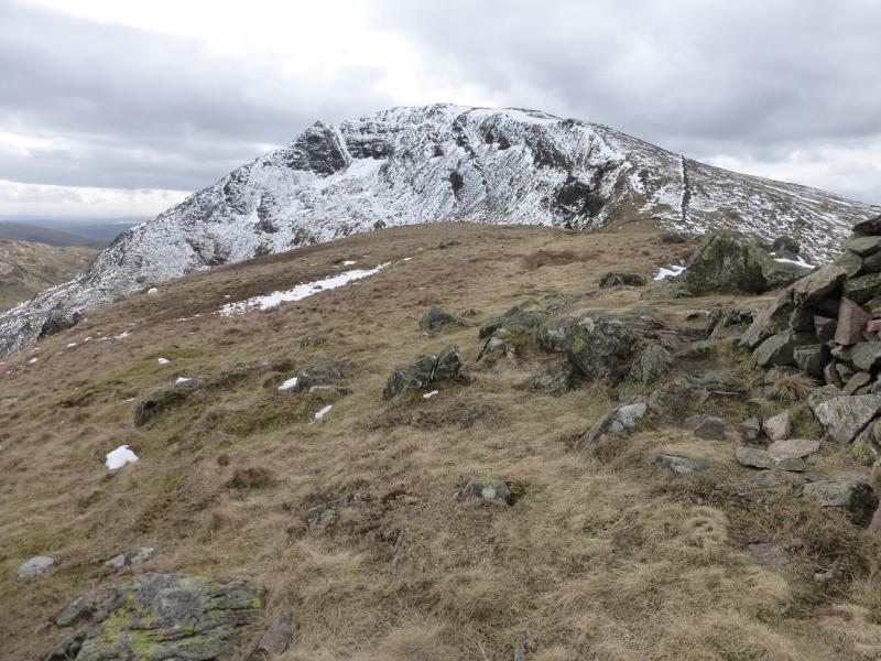
Photos - Hover over photo for caption. Click on to enlarge. Click on again to reduce.