Get Lost Mountaineering
You are here: England » Peak District » Black Hill, Lad's Leap, Laddow, Longdendale, Ravenstones & Dovestone Reservoir
Black Hill via Pennine Way & White Low (clockwise) from Crowden
Black Hill via Pennine Way & White Low (clockwise)
from Crowden
Start/Finish
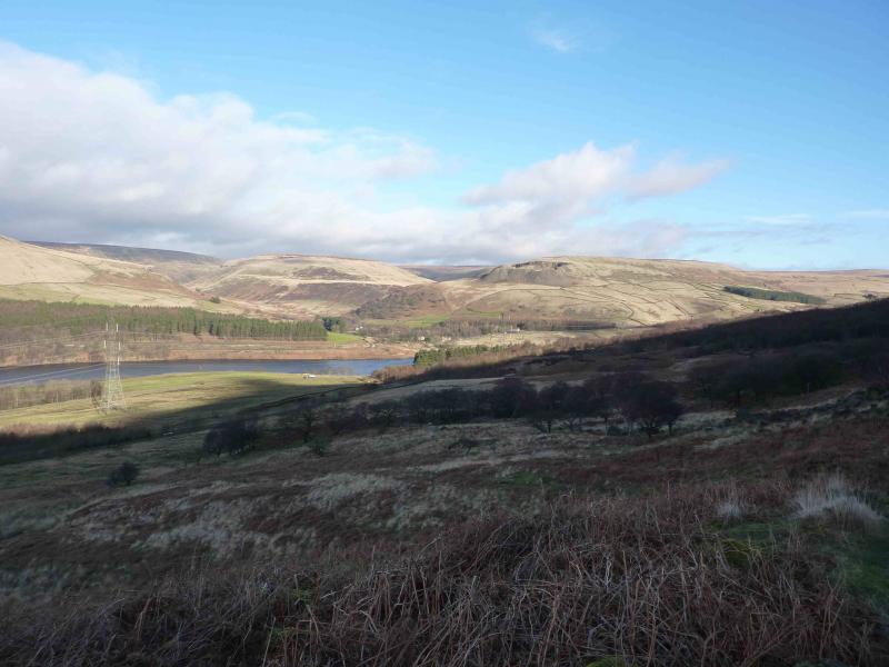
Free public car park at Crowden which is signposted, about 200 m before, on the W side of the A628 Woodhead Pass. Turn off on to a minor road then left down a curving slope into a medium sized car park. There are toilets close by. If the car park is full, one may have to park on the side of the minor road. Crowden is on the A628, Woodhead Pass road. From the M1, go north past Sheffield and Meadowhall and leave at junction 35A (not 35). Follow the A616 past Deepcar and Stocksbridge (Tata Steel plant). Go through the hamlet of Langsett where there are toilets if needed. Continue to the roundabout junction with the A628 and turn left on to the A628. Follow this up and over the Woodhead Pass. Soon, Woodhead Reservoir is reached. Drive the full length of this, going past the A6024 Holmfirth turning just over the viaduct on the northern spur of the reservoir. The turning for Crowden is about half a mile further. If missed, one may have to drive some distance to turn around. It is about 11 miles from the M1 to the A616/A628 roundabout and just under a further 11 miles to Crowden car park. Note that there is no parking on the main road especially near to where the Pennine Way leaves it. The only sensible place to park is at Crowden. Sometimes, hill races start at Crowden. On such days, you would need to arrive before the runners to have any chance of parking as it gets quite chaotic.
Distance/Time
12 km About 4 hours
Peaks Black Hill, 582 m, SE 078 046.
Tooleyshaw Moss, 576 m, SE 080 041.
White Low, 530 m, SE 086 021. OS Outdoor Leisure 1: Dark Peak
Introduction
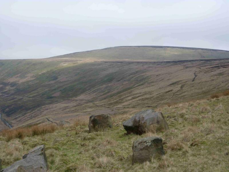
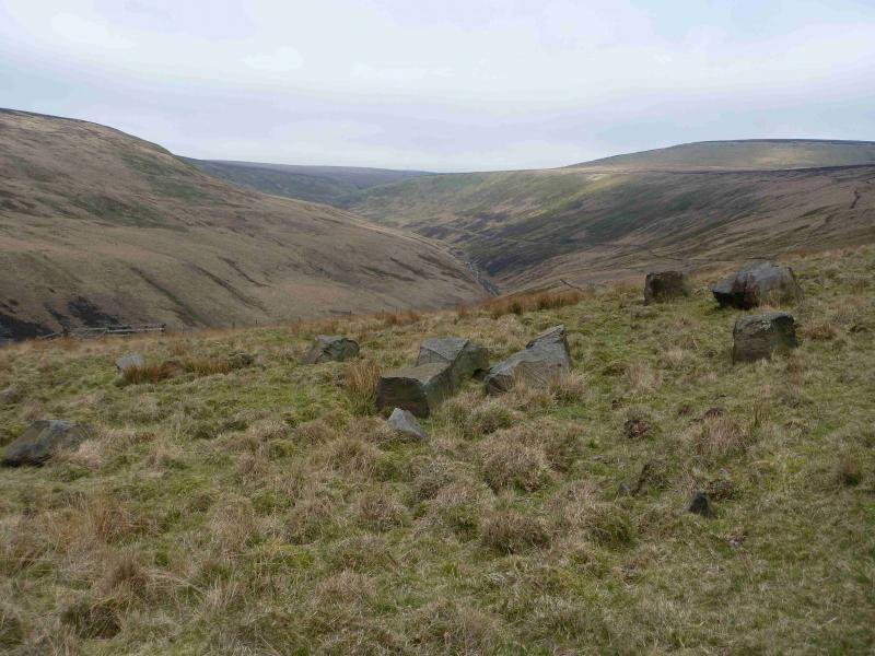
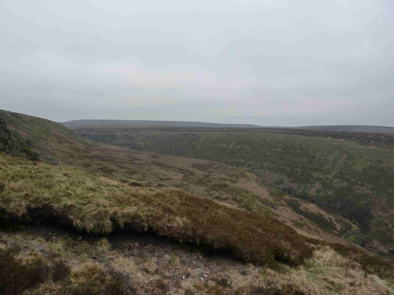
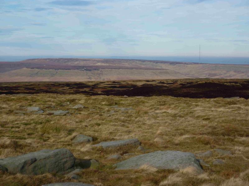
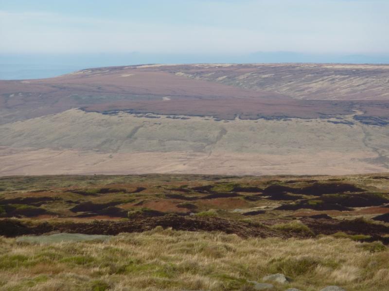
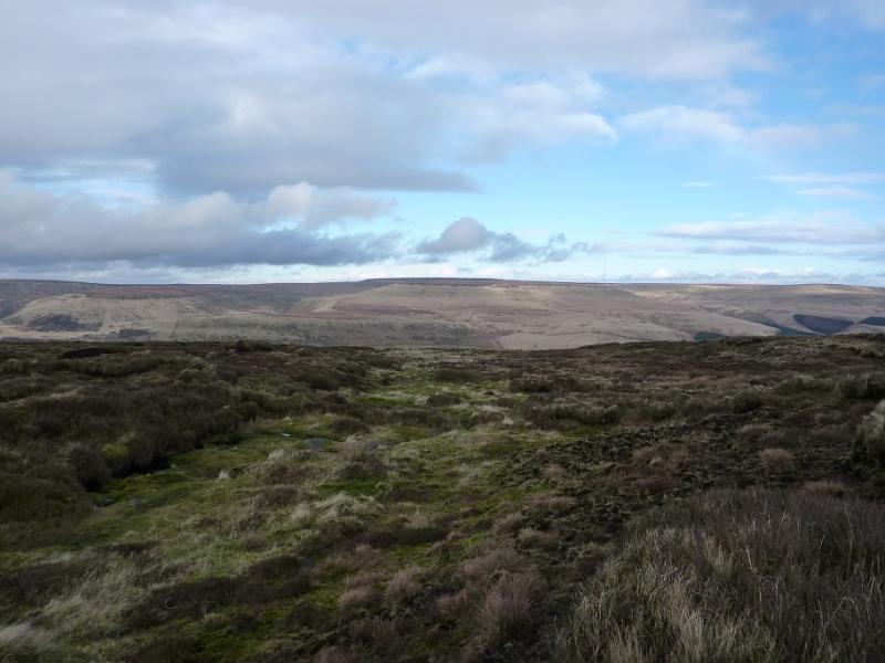
This is a fine, but tough, ridge walk in the Dark Peak which, in good weather has good views of the surrounding Pennine Moors including Bleaklow to the S. Some of the going is boggy, even in a dry spell, and gaiters are strongly recommended. The worst of the boggy sections lie between Tooleyshaw Moss and White Low. Alternative, but similar, versions of this walk have been posted one of which describes the route in reverse whilst the other gives an approach via Crowden Little Brook which misses the worst of the boggy approach. This walk is best attempted in clear weather.
Route
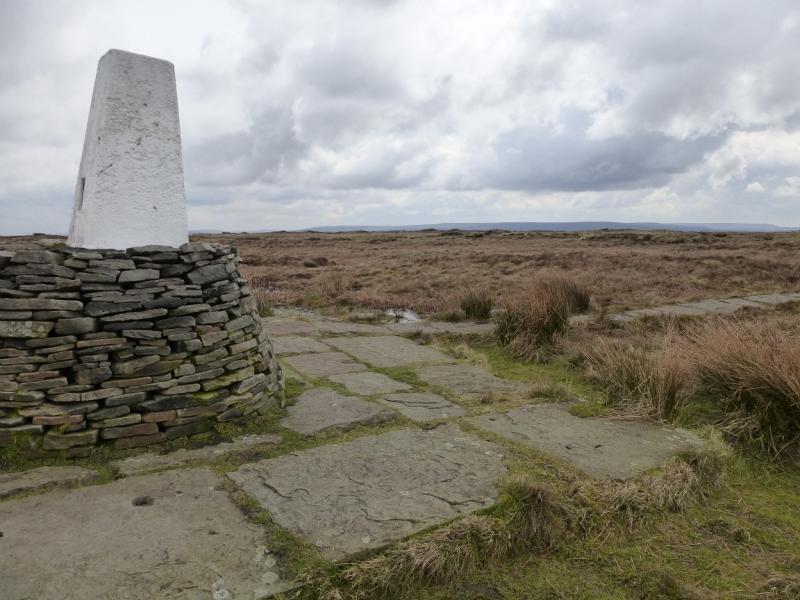
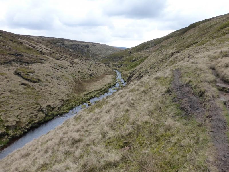
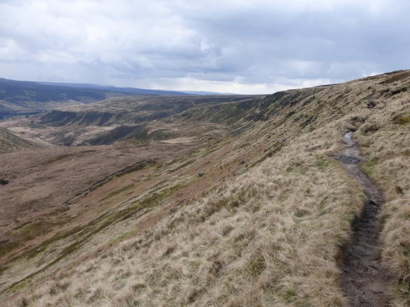
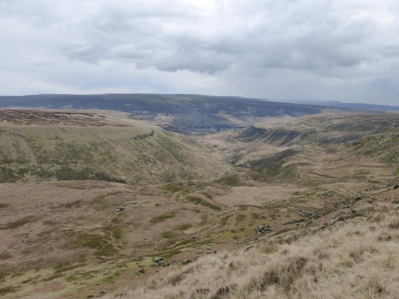
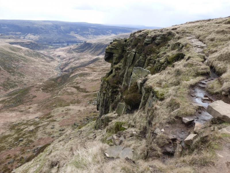
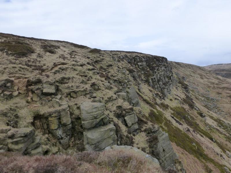
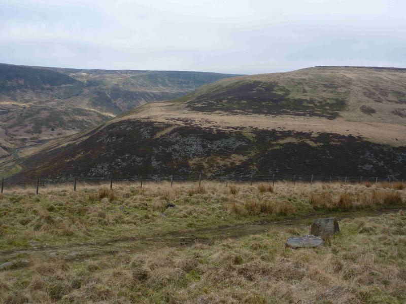
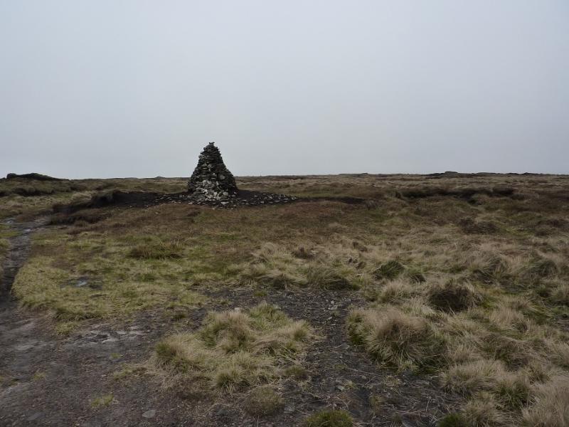
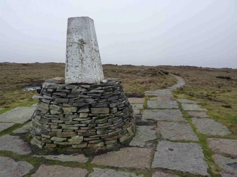
(1) From the car park, follow the sign to the toilets. Turn right at the toilets and follow the good path, by a wall, up the side of the camp site to reach a minor road. Go straight across and continue to the outdoor centre. Just past the car park, on the right, is a path going up. Follow this and keep going to reach the fairly obvious Pennine Way which heads just W of N and soon reaches a small wood. Continue, crossing two streams and with a few steeper sections. The path is quite rough and stony in places but very easy to follow. Eventually, it reaches the top of the edge above Laddow Rocks. Soon after, it descends gently towards Grains Moss. There are some boggy patches on this section but soon a slabbed path is reached then a fence and stile. Cross over and continue on the slabbed path which, later, turns to a gravel path before becoming slabbed again near to the trig point which marks the summit of Black Hill, 582 m.
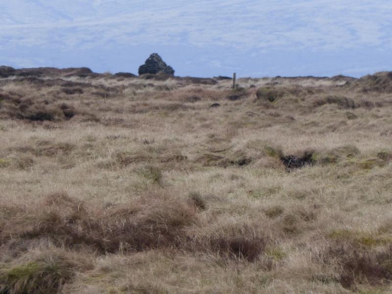
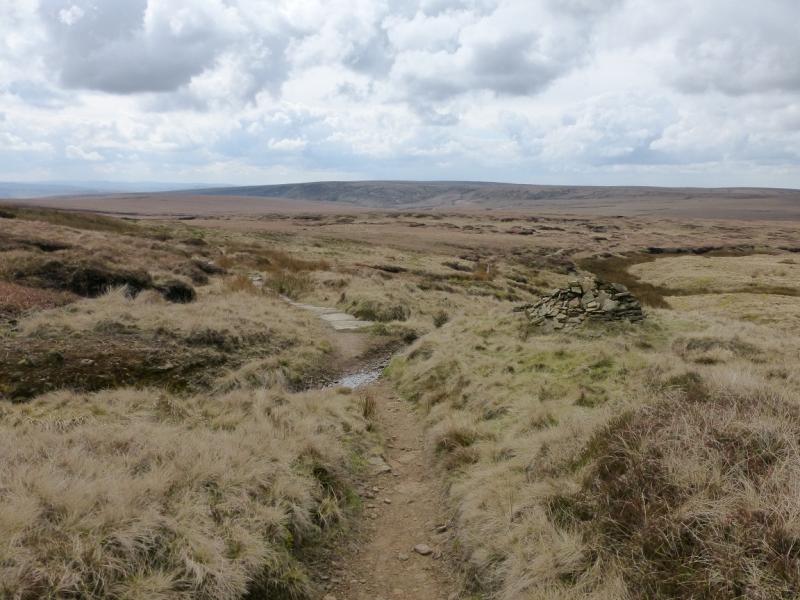
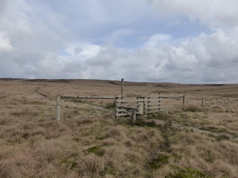
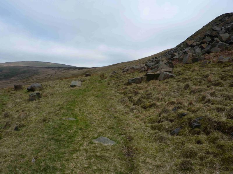
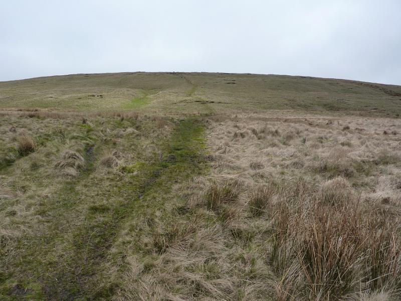
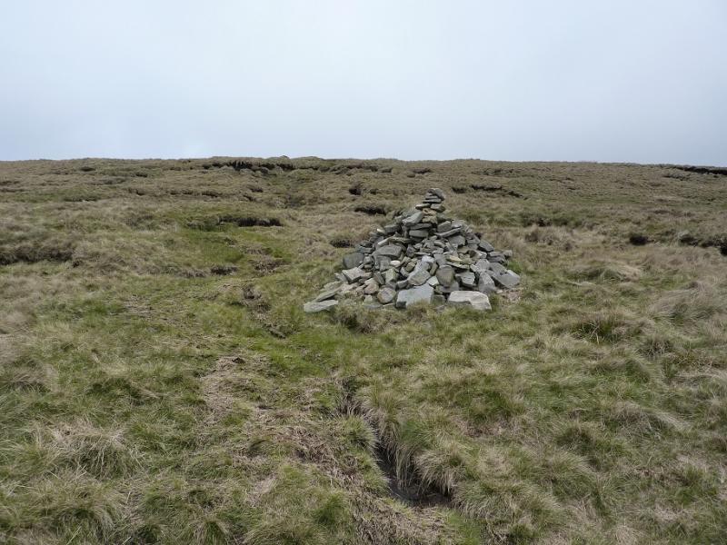
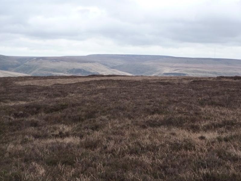
(2) The area around the trig point is extensive featureless plateau and, even in good weather, there are few reference points. This can be more challenging in thick weather but the only tricky section is the initial part of the return from the trig point. The key is to locate the large pointed cairn about 500 m from the trig point which lies on the path shown on the map, roughly about SSE from the trig point. The actual bearing is 152 degrees. From here the route is fairly obvious although quite boggy in places. There is a fairly distinctive path to this cairn but its start is not obvious and many walk a little to the left, E, of it. Once at the cairn, follow the obvious path, descending roughly S. A fence and stile are crossed and the ground becomes more level. Continue along the path, quite boggy in places, and exceptionally boggy when two shallow cloughs have to be crossed in quick succession. After this, the going is not so boggy. After another noticeable descent, the path drifts off to the right and leaves the ridge to reach a grassy track, at a small cairn if you are on the correct path, coming from the N, above Crowden Little Brook. Follow the track S towards the obvious spoil heaps of the old quarry. When the track swings left, take a path going straight on which descends, steeply in places, down to the minor road used on the outward route.
Notes
(a) This walk took place on 25th March, 2014.
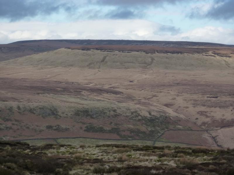
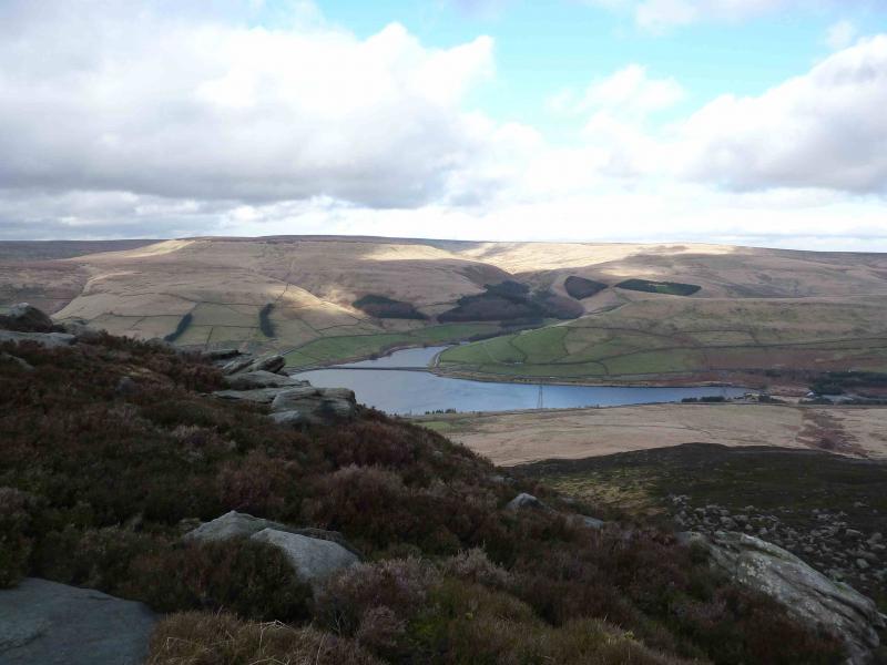
Photos - Hover over photo for caption. Click on to enlarge. Click on again to reduce.

.jpg)
.jpg)
.jpg)
.jpg)
.jpg)
.jpg)
.jpg)
.jpg)
.jpg)