Get Lost Mountaineering
You are here: Ireland » South West » Killarney to Bantry to Cork
Torc Mountain & Waterfall by Tourist Route from near Muckross
Torc Mountain & Waterfall by Tourist Route from near Muckross
Start/Finish
From Killarney, take the N71 road towards Kenmare. Torc Waterfall car park is well signed and about 4 miles from Killarney.
Distance/Time
10 km About 3 - 4 hours
Peaks
Torc Mountain, 535 m, V 956 839 (Irish National Grid System)
Irish OS Discovery Series Maps 78 (1:50000)
Introduction
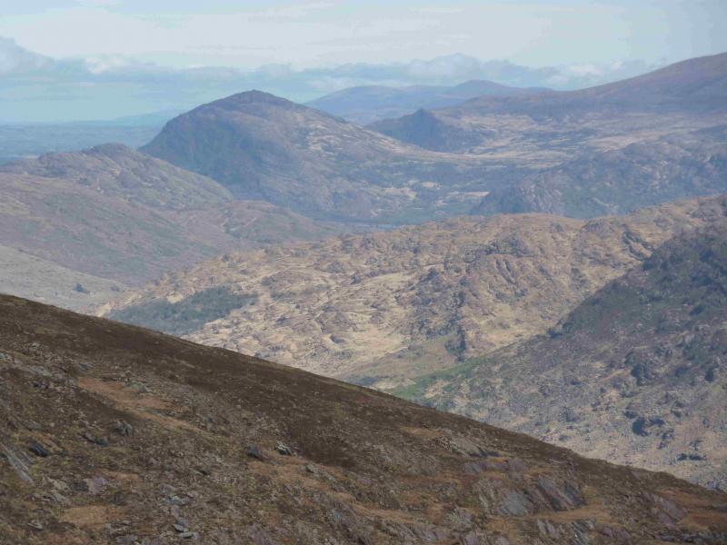
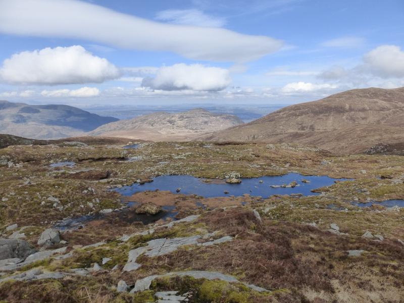
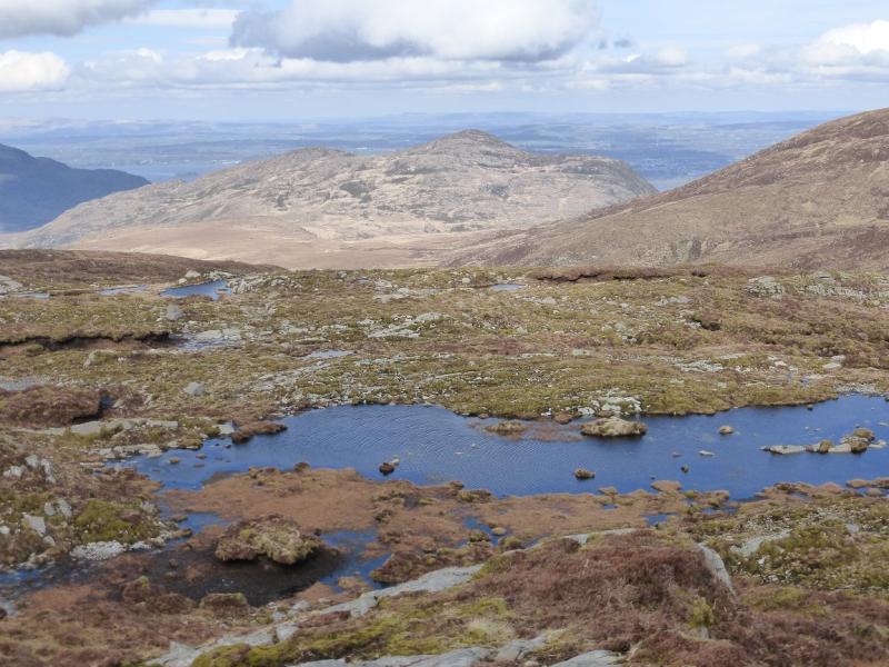
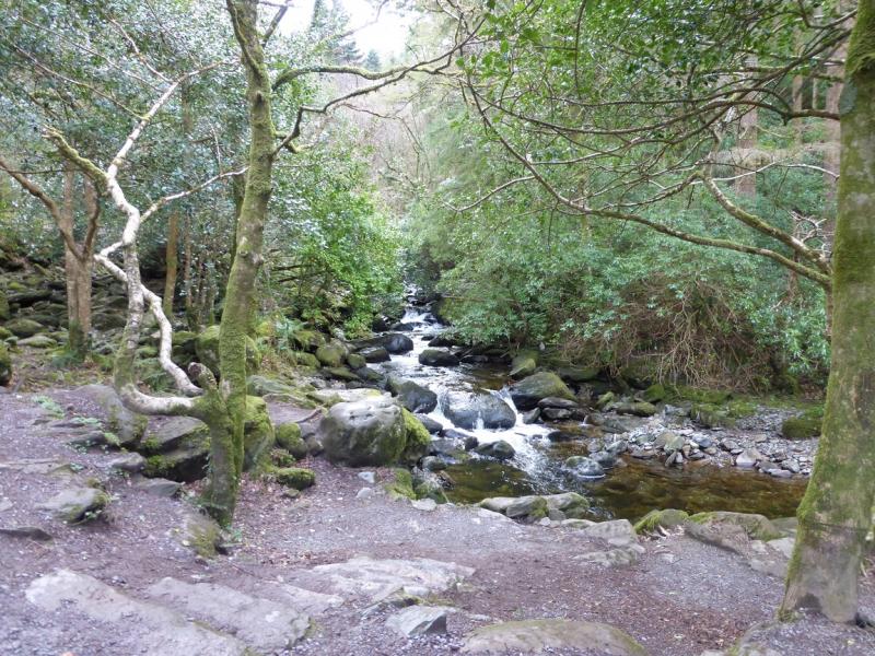
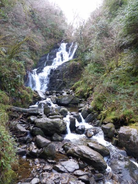
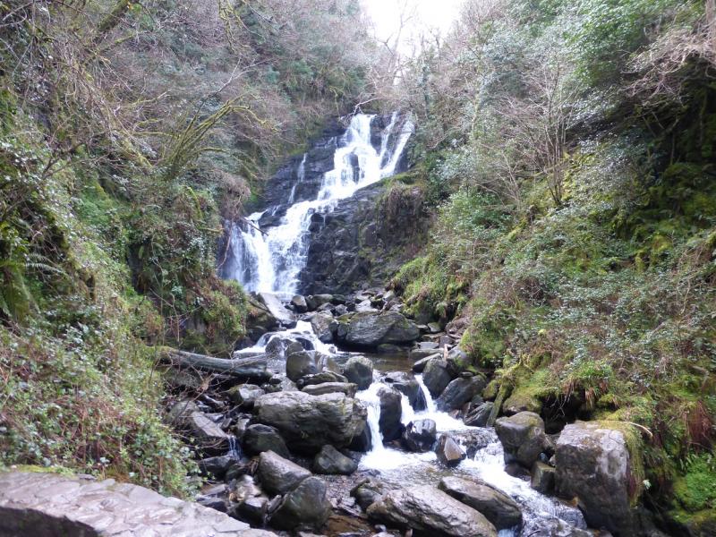
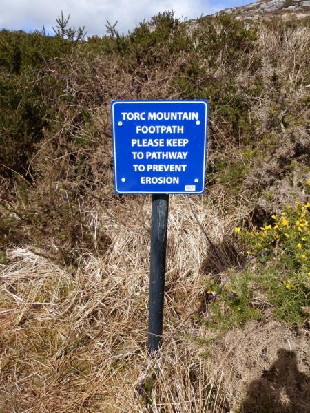
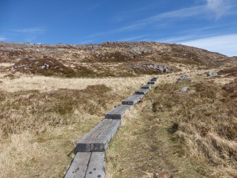
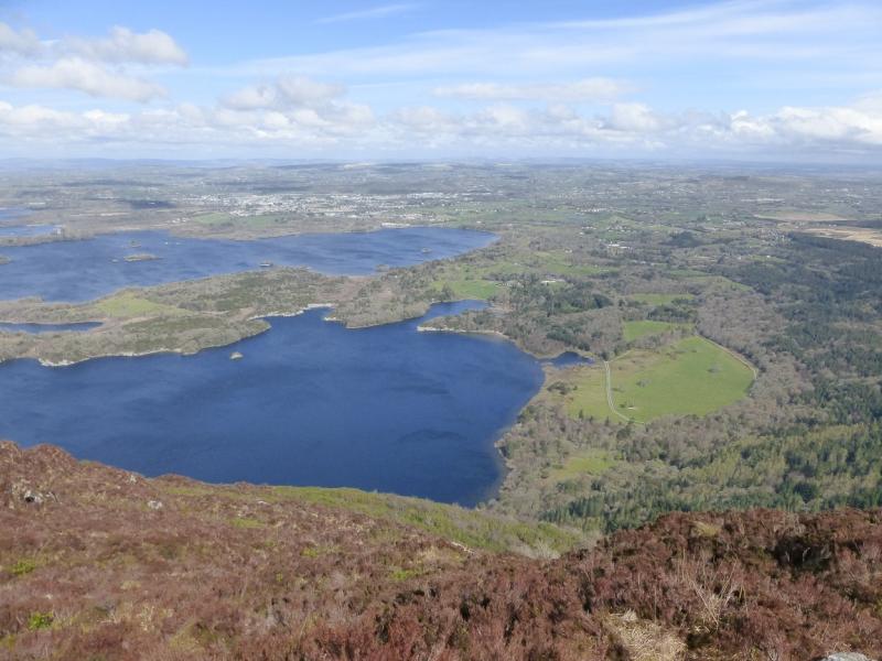
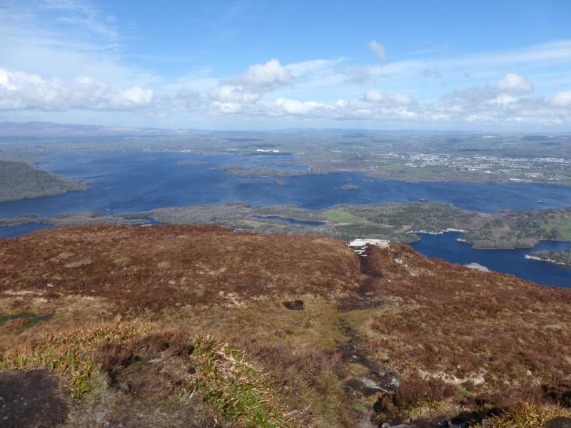
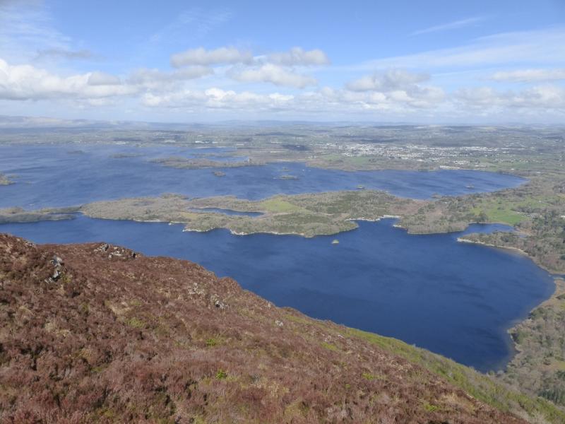
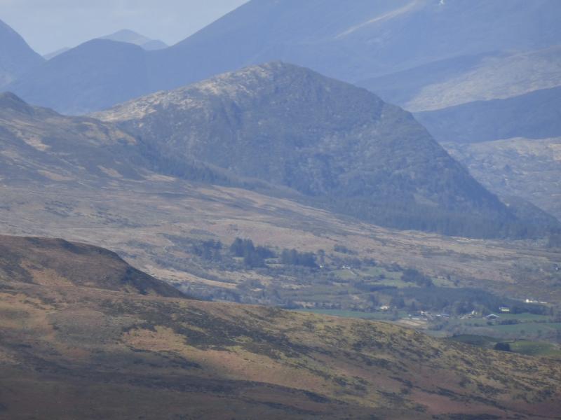
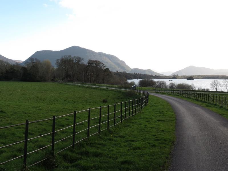
Despite its seemingly modest height, Torc Mountain is every inch a mountain which offers excellent views of Mangerton Mountain, Purple Mountain, Broaghnabinnia, Crohane and the Killarney Lakes. The route goes past the very impressive Torc Waterfall which is less than 300 m from the start. Navigation is easy with way mark posts and there are no boggy sections as slabs and railway sleepers have been used to improve the path up Torc Mountain. Another route up Torc Mountain has been posted which is massively tougher and is not recommended.
Route
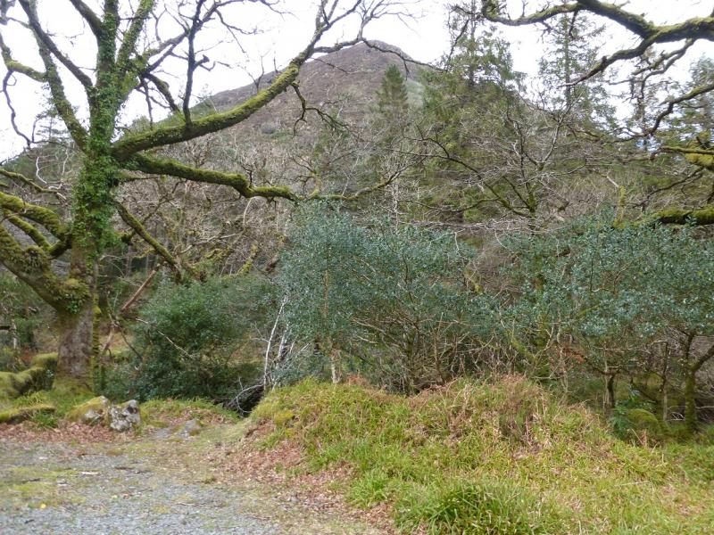
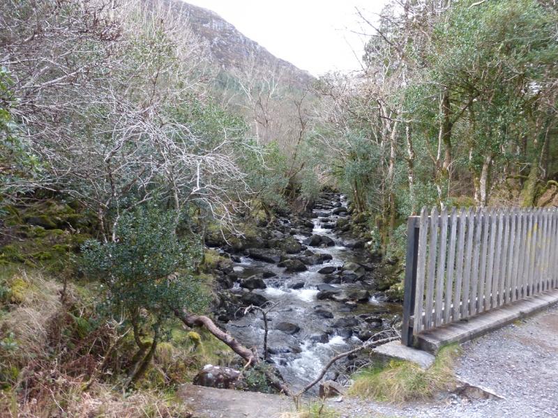
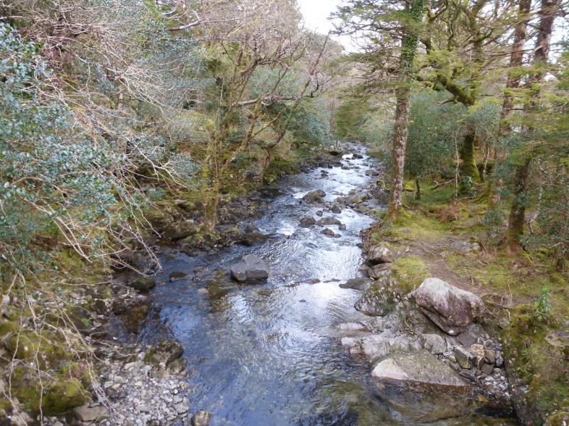
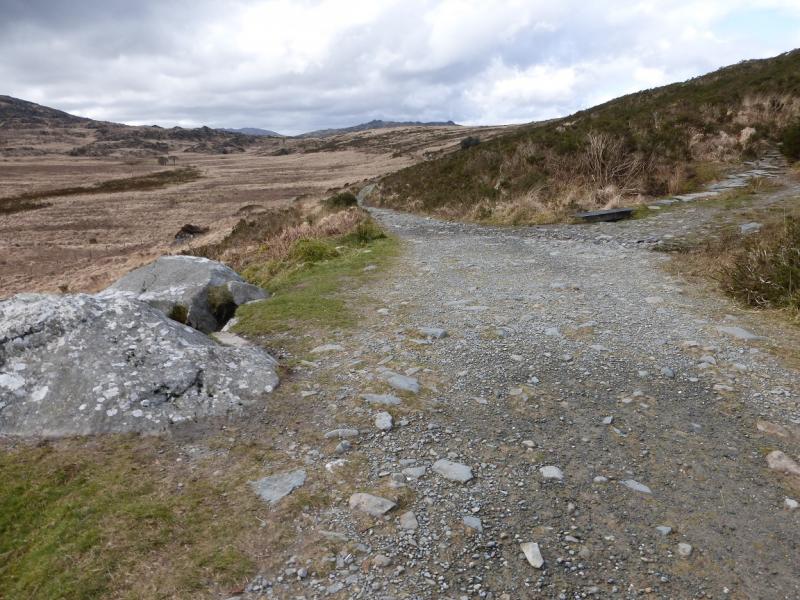
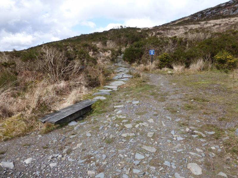
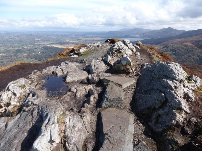
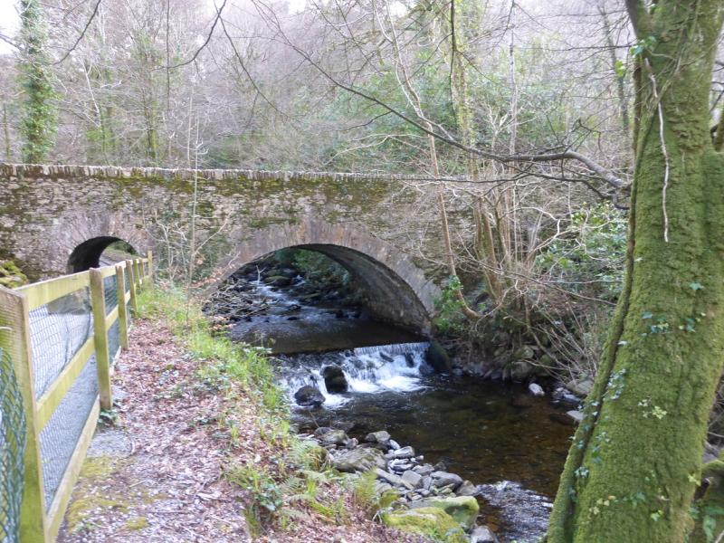
(1) Walk up the obvious path to the left of the river to soon reach the foot of Torc Waterfall. Take photos here as the waterfall won't be seen again. Continue on the obvious path which is stepped in places. Higher up, the path splits. Locate the top of the old road where there are signs for the Kerry Way. Follow the sign for Kenmare and walk past the car park at the end of the road which is actually the old road to Kenmare. Continue along the obvious track and cross a bridge over the river and turn left, still on the Kerry Way towards Kenmare. When you emerge from the wood, continue until reaching the obvious start of the path up Torc Mountain which is on the right and signed. Follow the gently inclined path to the short crest which is the summit of Torc Mountain, 535 m. There is no cairn. Views of much of the Killarney Lakes are not seen until actually on the summit. A path seems to lead down towards the lakes but it only goes down a short distance to better viewpoints and is not a descent route.
(2) Retrace the route of ascent back to the bridge over the river. Either retrace the rest of the outward route or go straight on (blue route and arrows) and follow the track down to the main road. Cross over and follow the blue arrows back to the start.
Notes
(a) This walk took place on 31st March, 2014.
(b) The Fossa camp and caravan site, at V 910 923 is very good and very well situated for the Killarney mountains, especially Macgillycuddy's Reeks and Purple Mountain as it is only about 3 miles from Kate Kearney's Cottage. At Fossa, there are camping and caravanning facilities as well as a hostel and static trailer vans can also be hired. For campers, there are excellent showers (small extra charge) and there is a good campers’ kitchen with tables, sinks and cooking area if you have your own cooker and pans. Gas rings are available (small extra charge). There is also a TV room. Reception is open quite late in the high season and the staff are very helpful. A computer is available for hire and there is a freezer in reception. There is a bus stop outside the site for Killarney. There is a 24 hour Tesco which is off the northern bypass (turn right at 4th roundabout then right at next). Out of high season, it can be better for 2 people to rent a trailer van than to camp separately.
Photos - Hover over photo for caption. Click on to enlarge. Click on again to reduce.