Get Lost Mountaineering
You are here: Ireland » South West » Iveragh Peninsula
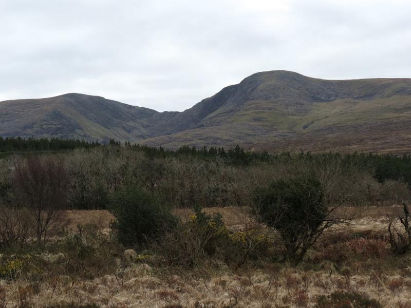
Knocknagantee, Knockmoyle, Coomura, Coomanassig & Finnararagh from near upper Sneem River to S
Knocknagantee, Knockmoyle, Coomura, Coomanassig & Finnararagh from near upper Sneem River to S
Start/Finish
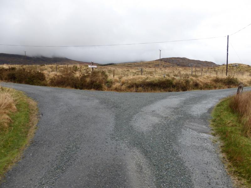
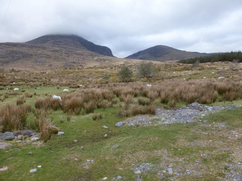
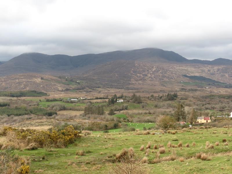
Small parking spot about 200 m before the fork (V 672 704) almost at the end of the minor road up the Sneem River from Sneem. From Killarney, take N71 for Kenmare. At Moll's Gap, turn right on to Sneem road, R568. Follow this to Sneem. Turn right on to the main road, cross the river then take the first right for Maulagallane. After a 90 degree turn left, reach a fork where you go left then follow the road to the above fork, ignoring all turnings. At the fork, turn around and retrace for about 200 m to park by a wood. If there is no space, retrace further. There is a “No Shooting” sign at the fork.
Distance/Time
17 km About 7 - 8 hours
Peaks
Knocknagantee, 676 m, V 668 730. (Irish National Grid System)
Knockmoyle, 684 m, V 665 750.
Coomura, 666 m, V 677 752.
Coomanassig, 636 m, V 680 734.
Finnararagh, 667 m, V 697 737.
Irish OS Discovery Series Map 78 (1:50000).
Map 84 will also be needed to navigate to the start from Sneem.
Introduction
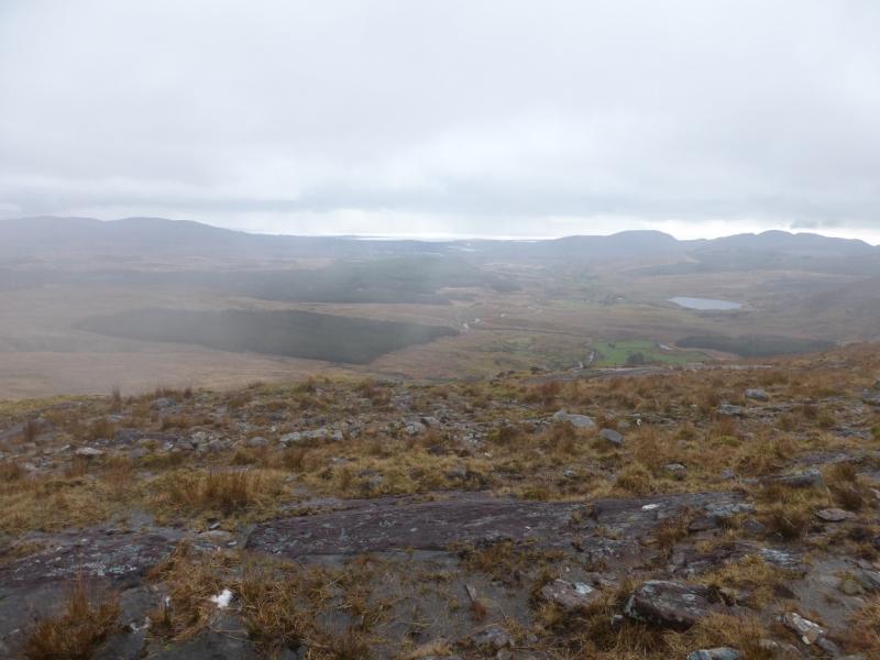
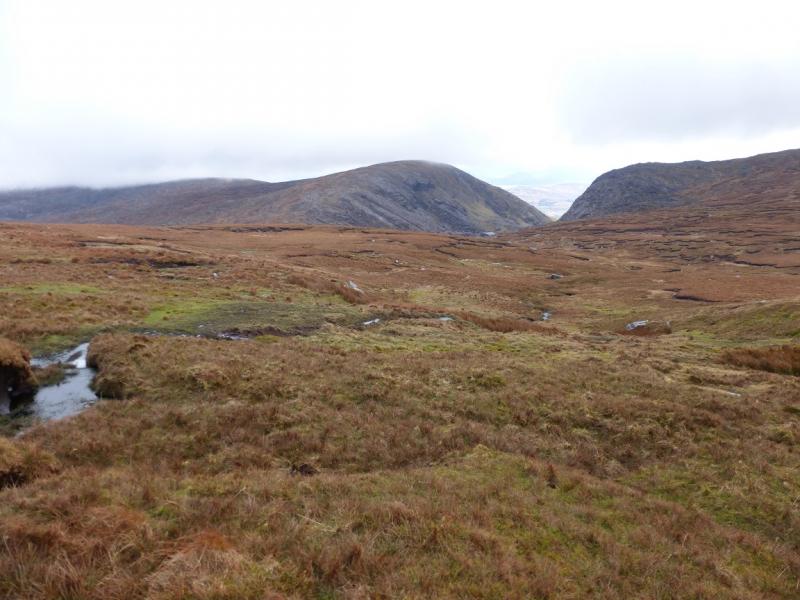
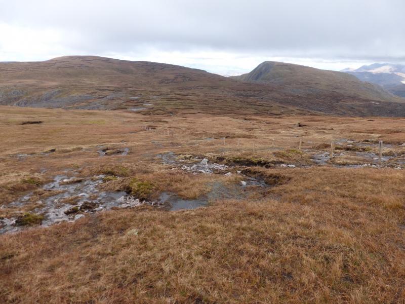
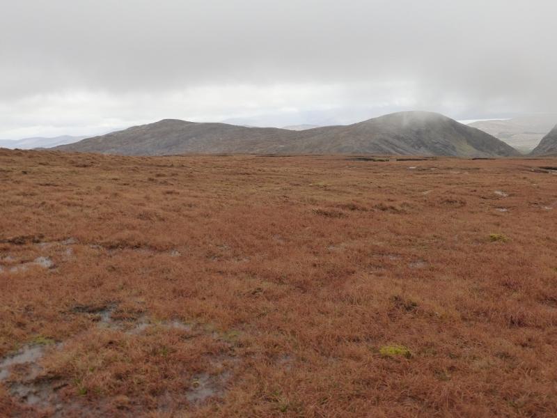
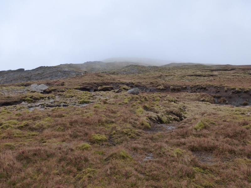
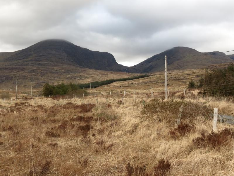
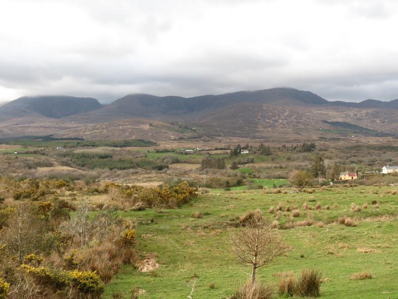
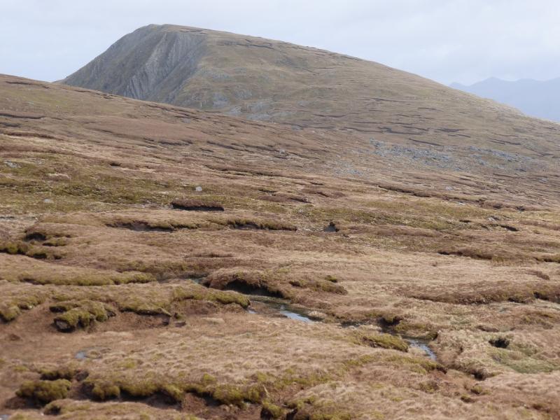
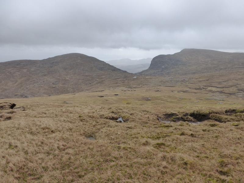
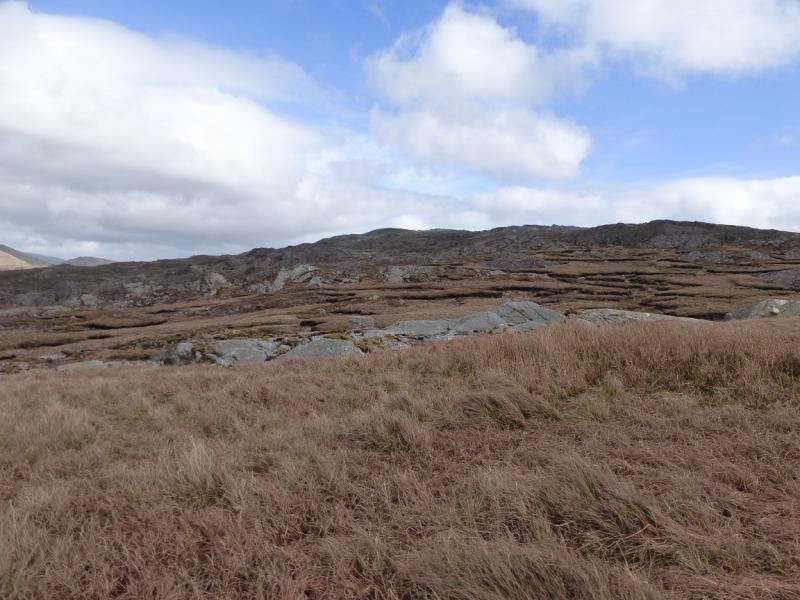
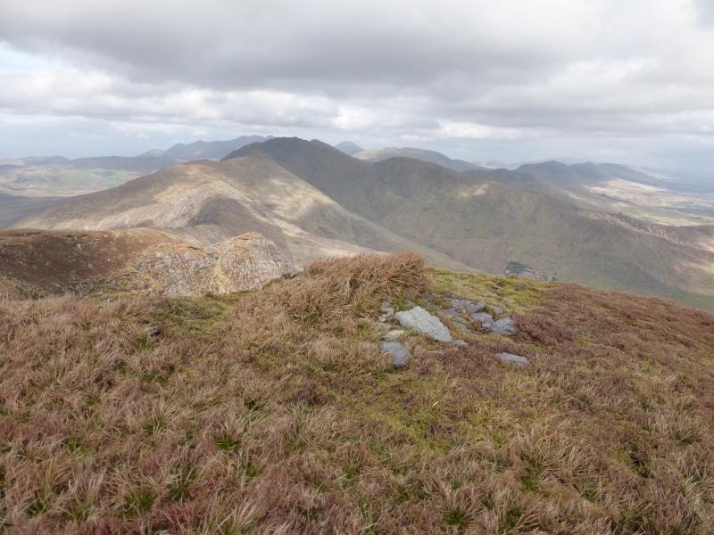
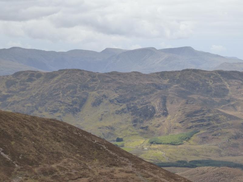
This is a very tough and rugged walk in very wild country which is also very boggy in places so wear boots and gaiters suitable for the most boggy conditions. Knocknagantee is a magnificent mountain. Views are excellent and include the Colly, Coomacarrea and Meenteog range plus the Beann range. Navigation can be very taxing in thick weather with some guide books giving quite misleading information which could easily lead one well astray. A shorter walk covering just Knocknagantee and Knockmoyle will also be uploaded. In clear weather, the route will be fairly obvious but, as already stated, in mist, navigation will be slow and taxing and may stretch the walk to as long as 10 hours. Remember that if following a compass bearing, you have to go where it takes you and, in this area, that can mean bogs! There are few natural features to aid navigation and you will be extremely lucky to find a path in mist. The section between Coomanassig and Finnararagh is the hardest section to navigate in thick weather especially if you drift slightly off course. Unless you are extremely competent in map and compass navigation, you are strongly advised to take a GPS otherwise it could be a very long day! In the notes are separate instructions for Coomanassig and Finnararagh in thick weather.
Route
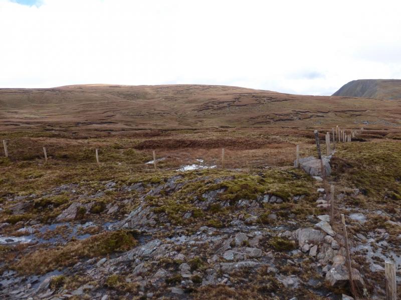
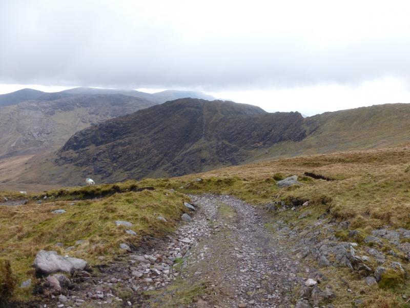
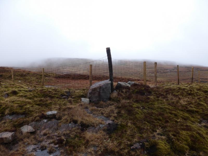
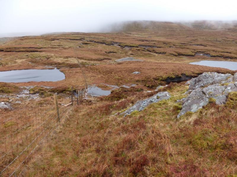
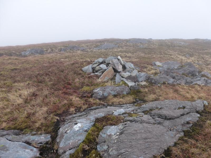
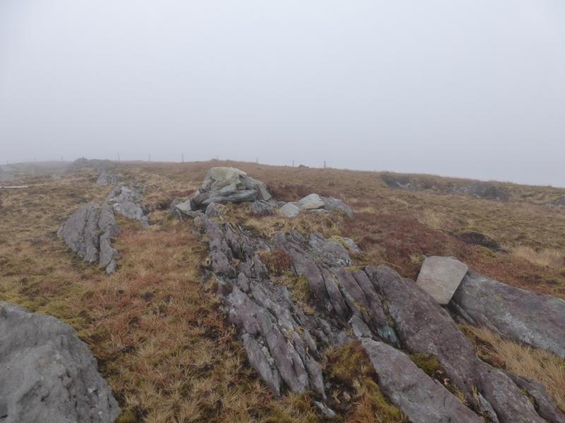
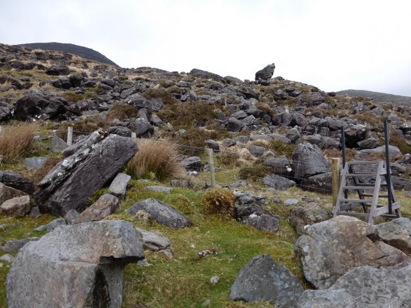
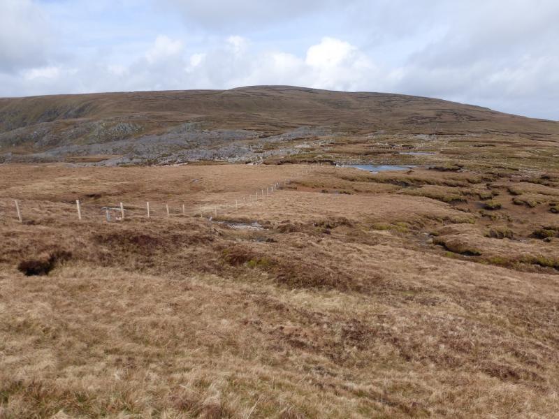
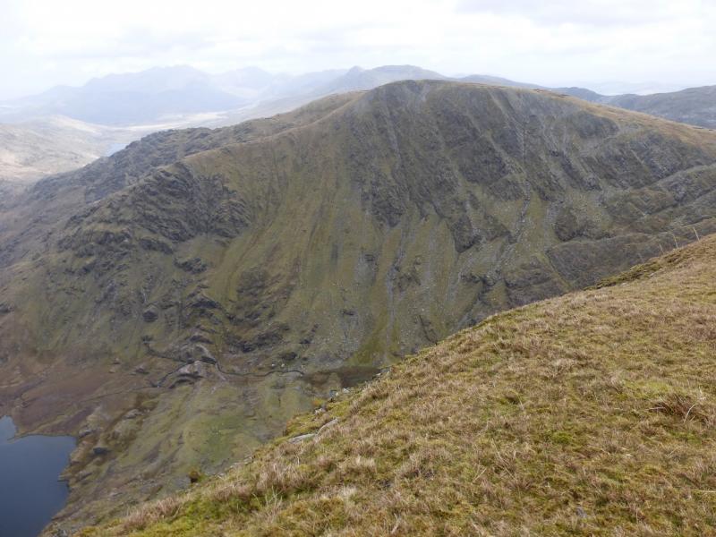
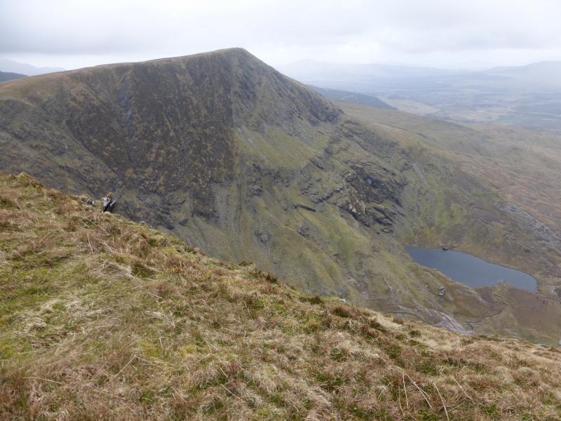
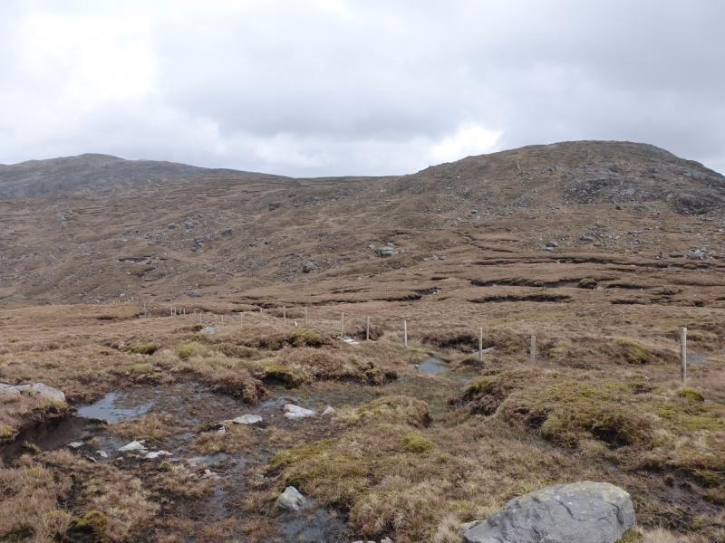
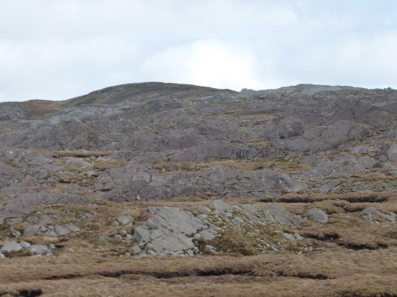
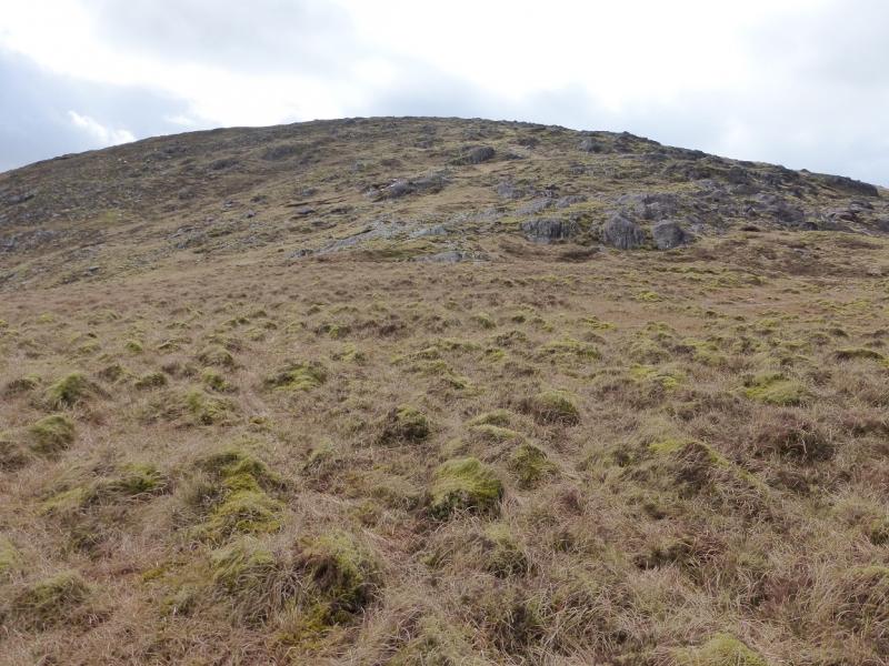
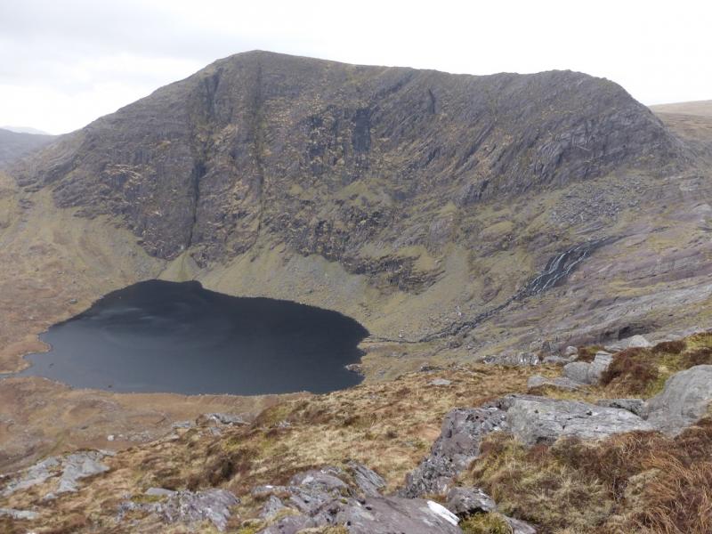
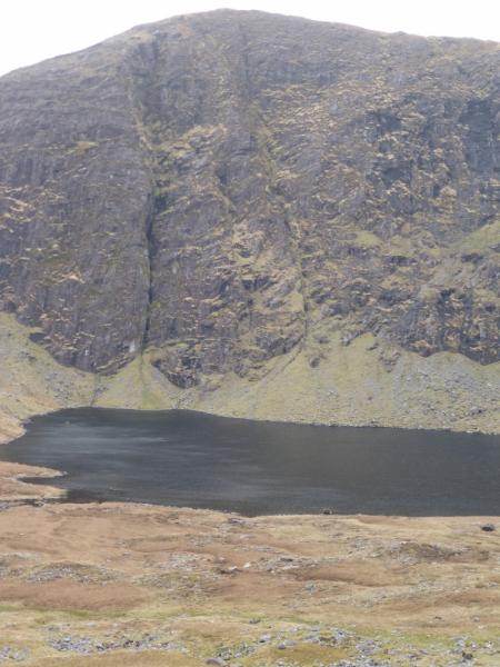
(1) Continue up the road to the fork then go left to the buildings at the end of the road. By now the track going up Knocknagantee should be obvious. Continue through the farm to gain this track and follow it up. Look for a distinctive perched rock with some heather on top which is just above a stepped stile. Remember this rock as it will be a useful marker on the descent. The stile can be crossed and the fence followed to the summit up steep and rocky ground. Alternatively, stay on the track which goes much much further than shown on the 1995 map and actually goes on to the shallow col to the NW of the summit and at a height of about 630 m. From here, walk roughly SE up gentle slopes. When a fence is seen (the same fence as mentioned above) follow it S, crossing a stile just before the medium cairn which marks the summit of Knocknagantee, 676 m.
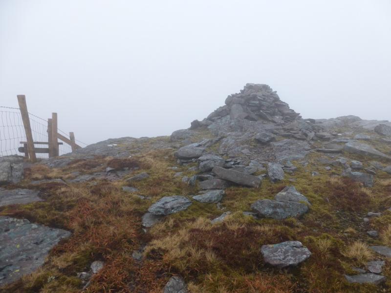
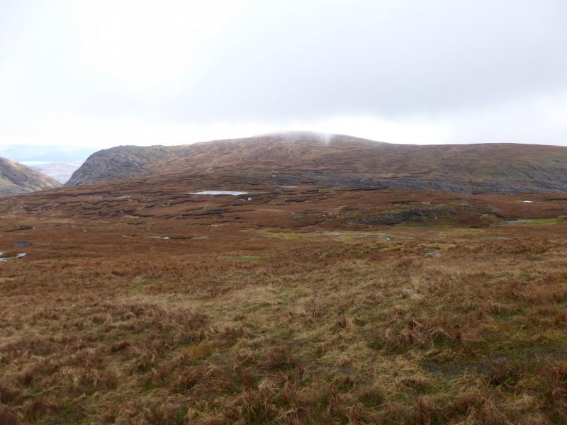
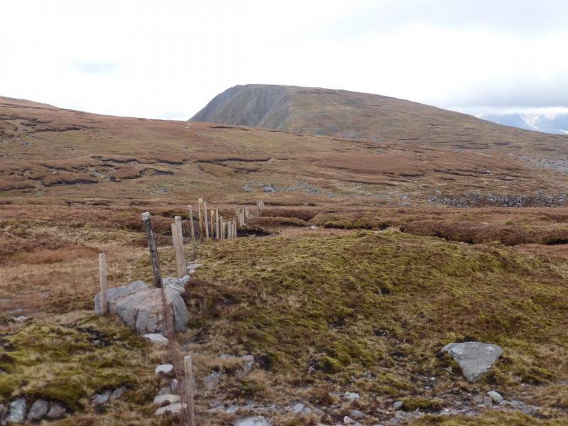
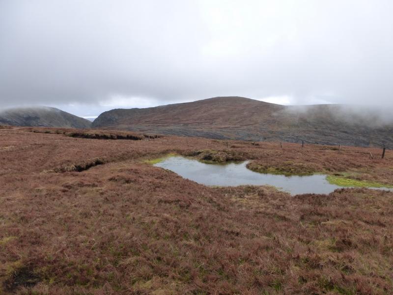
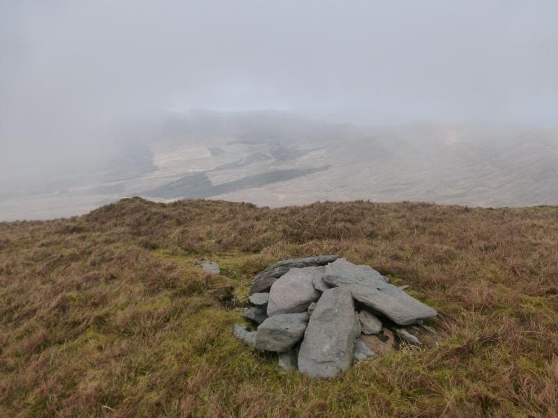
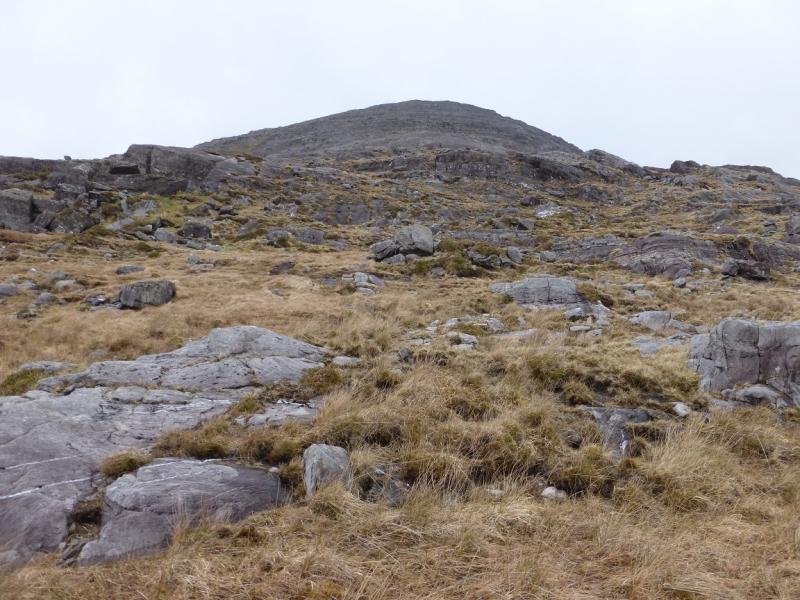
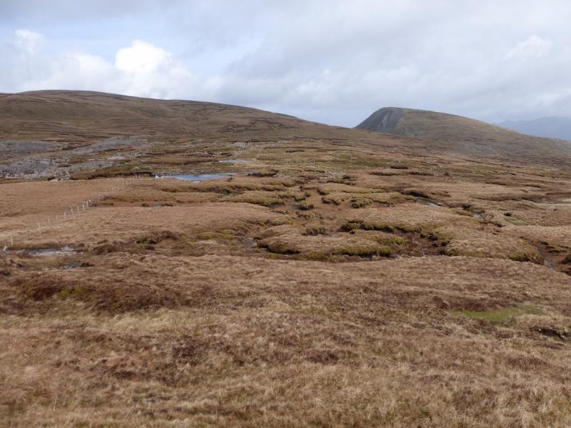
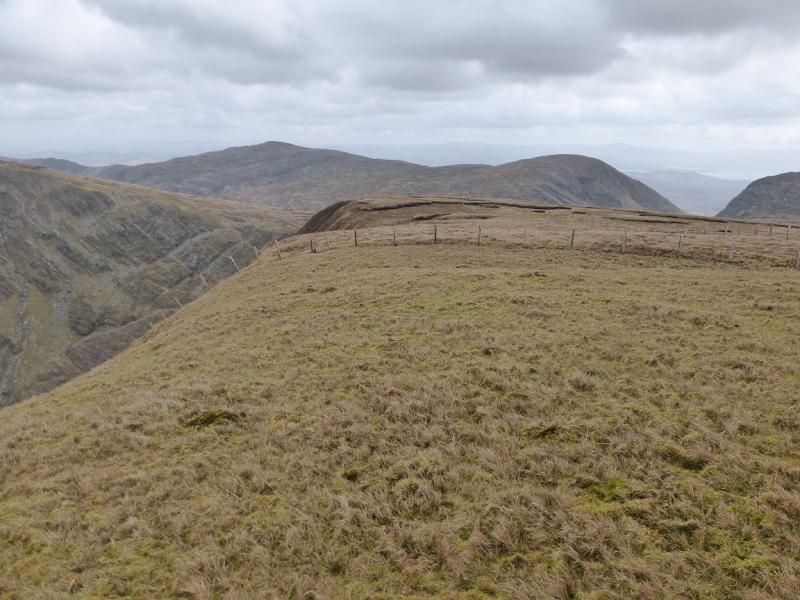
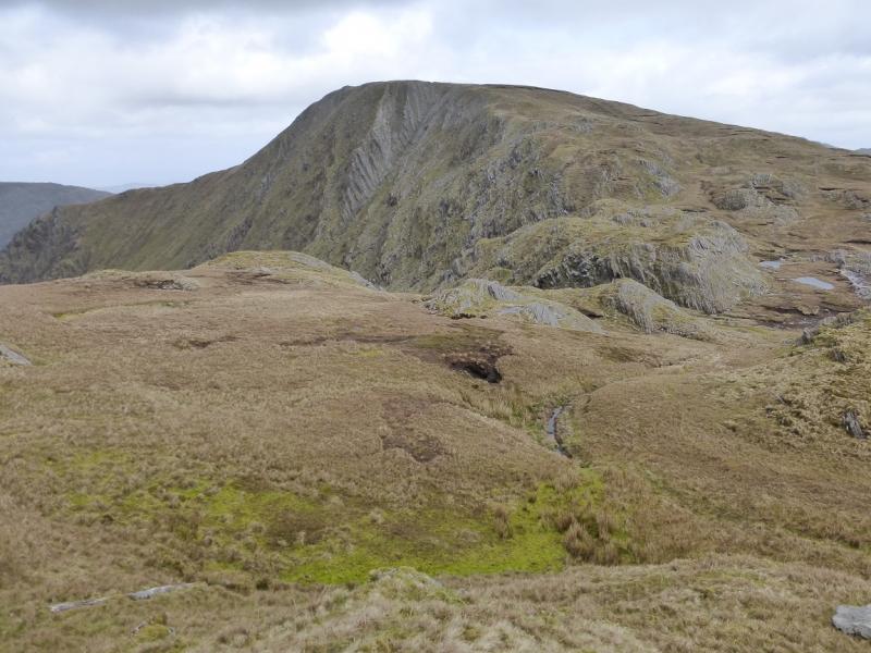
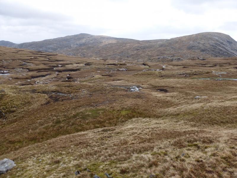
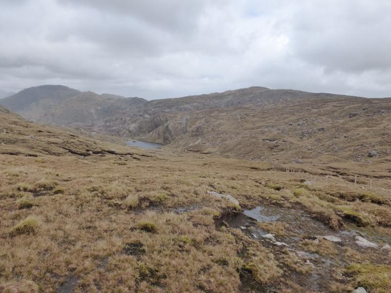
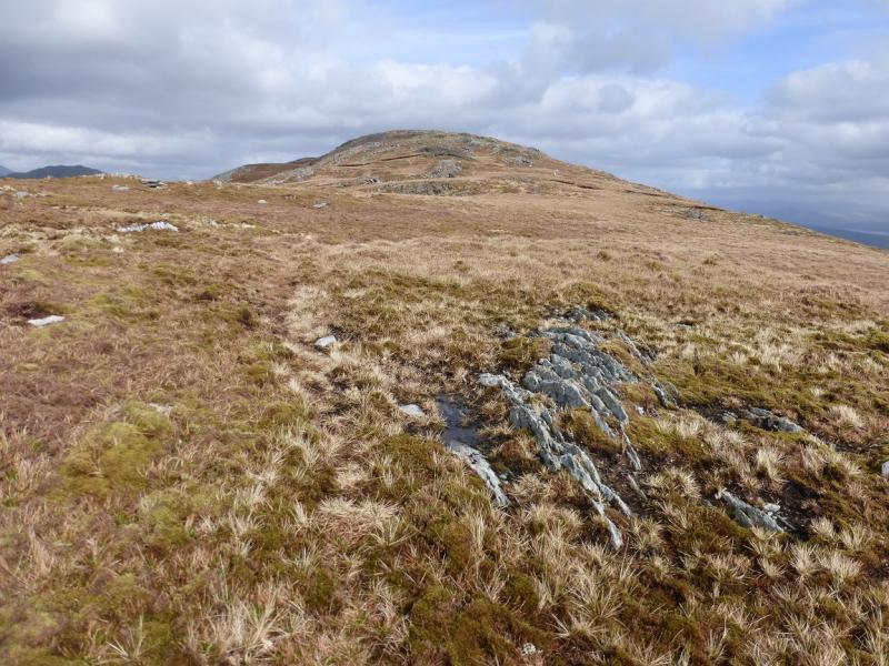
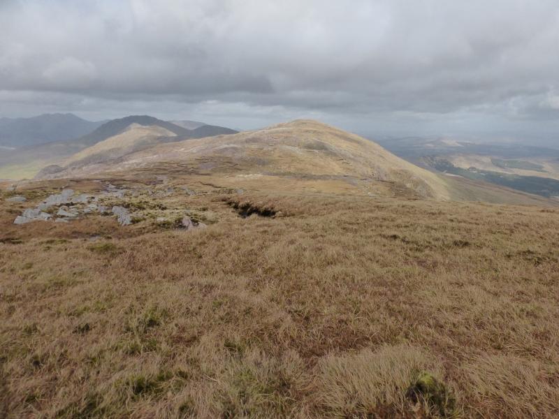
(2) Follow the fence N as it descends gently through some wet and boggy areas. The going is perhaps easier on the left of the fence. When a stile is reached just before a fence going off left, cross over and now keep the fence on your left, ignoring the fence going off left. Soon another fence goes off left. Follow this fence (no stile but easy to cross). In clear weather, the route to the top is obvious and one can leave the fence almost immediately. In thick weather, the fence can be a useful guide although it increases the distance slightly. The fence picks its way up and across the S flank of Knockmoyle. When it levels off, continue to a T junction of fences, descending ever so slightly. From here, it is relatively straight forward to follow the obvious edge roughly NE up to the fence which crosses the summit area with the cairn a short distance beyond the fence. The summit plateau is surrounded by steep slopes in an arc from W to N to E. A small cairn marks the summit of Knockmoyle, 684 m.
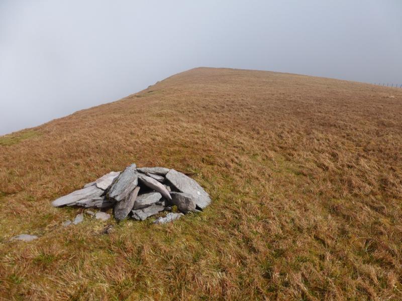
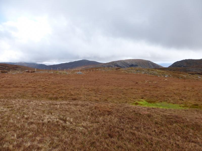
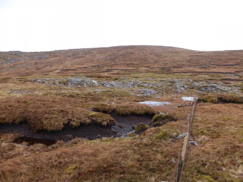
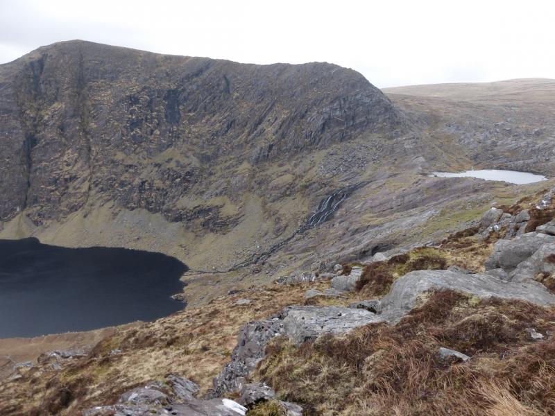
(3) Follow the same fence downhill, roughly SE. Ignore any other fences going off to the left. You are aiming for the broad col ESE of Knockmoyle. The fence passes it to the S so when the fence levels off, head NNE up the S ridge of Coomura. This ridge is quite rocky on its left, W, side. Continue up to a flat grassy plateau where a tiny, low cairn, easily missed, marks the summit of Coomura, 666 m, close to the W edge. In thick weather, it might be easier to follow the edge of Knockmoyle down to the NW corner of the col then follow the same edge up Coomura.
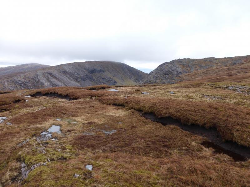
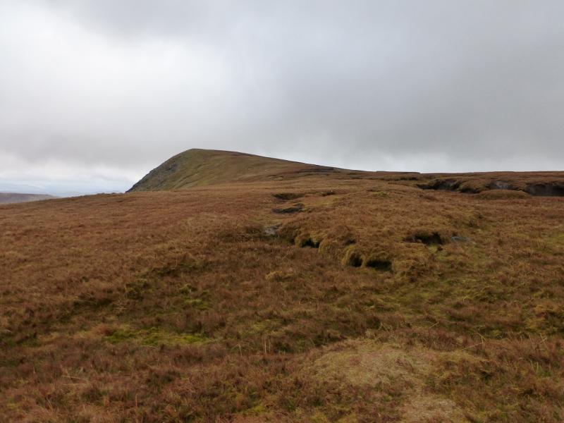
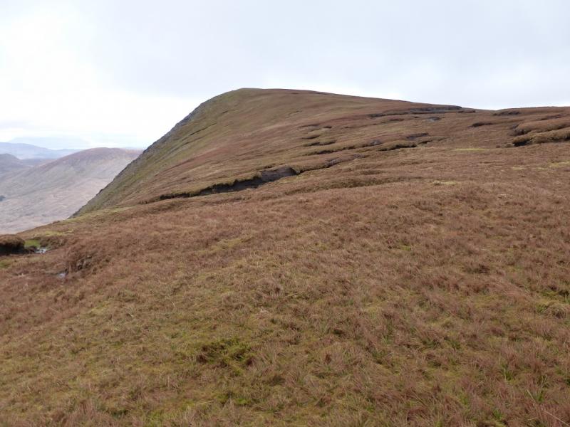
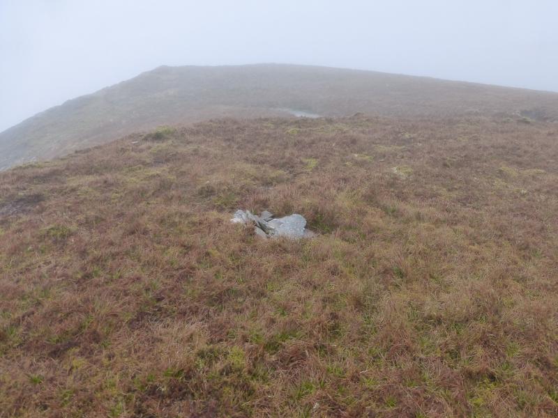
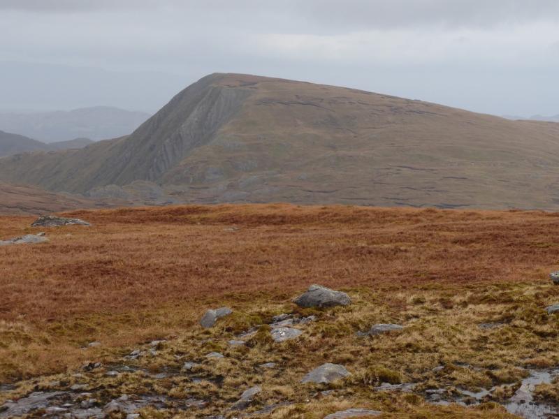
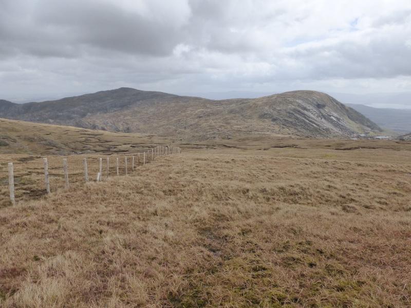
(4) Retrace back to the fence above and beyond the col. In clear weather, pick a way roughly SSE to a lower col. If it is clear then follow a gently rising traverse, over reasonable ground, heading roughly ESE to join the crest to the west of Finnararagh. Once on the crest, ascend E up easy ground to the summit area where there is no obvious highest point but a short grassy ridge has a very tiny, easy to miss, cairn on it which sits above a steep drop to the east. Observations on the ground suggest that this tiny cairn marks the summit of Finnararagh, 667 m. There are no other cairns nearby.
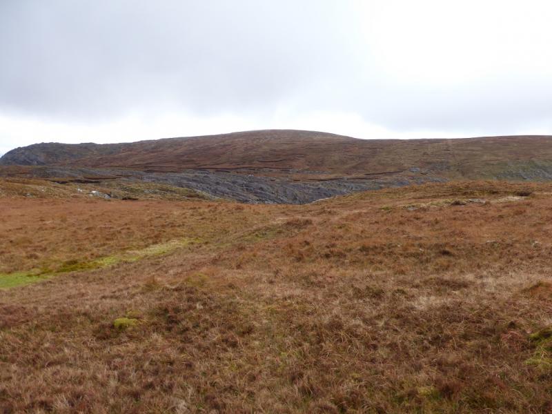
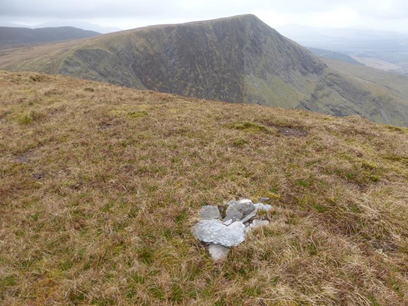
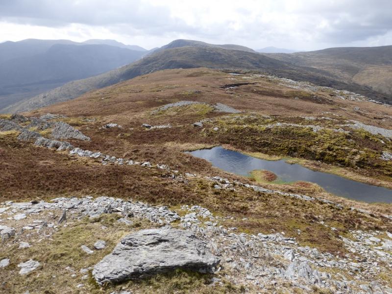
(5) Descend W, along the crest over the minor top, 598, to reach a broad col then ascend easy slopes to reach a fence which needs to be crossed just before a medium cairn which marks the summit of Coomanassig, 636 m. In clear weather, the route is very obvious.
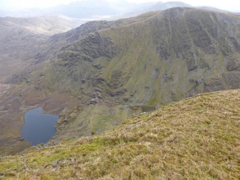
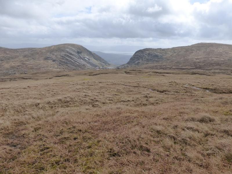
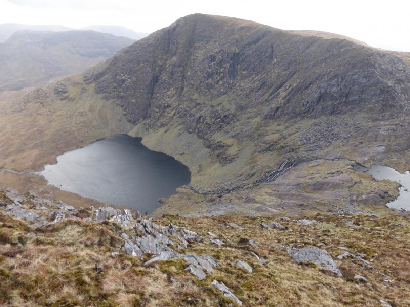
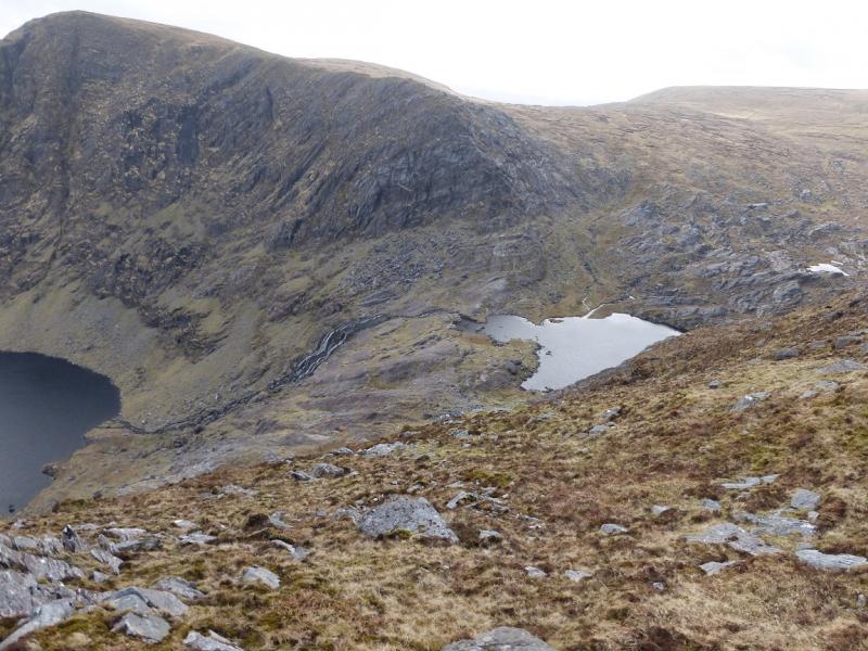
(6) Descend roughly S, staying close to the right hand edge where possible to enjoy some good views of Knocknagantee, Eagles Lough and Lough Coomanassig. Reach lower ground below Eagles Lough. Try to pick out the perched rock near the stile on the outward route and walk towards it. Cross the river flowing from Eagles Lough. which may be awkward in spate. Continue on the same line for the perched rock, now probably out of sight, keeping below the rocks of Knocknagantee. Reach the stile and then walk back down the track and road to the start.
Notes
(a) This walk took place on 3rd April, 2014.
(b) In thick mist, it may be prudent to ascend Coomanassig before Finnararagh. From the lower col after descending Coomura, take a compass bearing (perhaps after checking your position with GPS) to the foot of the NNW ridge of Coomanassig from where a straight forward ascent, SE then S, up the rocky ridge leads to a medium cairn, not far from a fence, which marks the summit of Coomanassig, 636 m. There is a reasonable path up this ridge but it is not easy to locate. It is less than 2 km to Finnararagh but, in mist, it can take well over an hour as the ground is so featureless. Many will need a GPS for this section. Cross the fence near the summit and walk ENE to Pt 598 then E towards the summit. There are no steep slopes but the ground is peaty and boggy. The highest point is quite difficult to locate in mist as there are several tops of similar height. It is on a grassy top close to an edge which drops steeply E. The cairn is very tiny and low but seems to mark the summit of Finnararagh, 667 m. Retrace back to Coomanassig, with all the navigational difficulties which that entails, then walk S down its long and mainly grassy ridge. The fence near the summit, now on the left, descends SSE which may be helpful to get safely to lower ground. Keep going for about 2 km. In clear weather the route is obvious but in mist, you should, after 2 km, be on course for the land between the two roads which meet at the fork near the start. Either pick a way westish to meet the outward track or continue and drop down to the track which leads to NE fork. Some fences may have to be crossed on the lower ground.
(c) The Fossa camp and caravan site, at V 910 923 is very good and very well situated for the Killarney mountains, especially Macgillycuddy's Reeks and Purple Mountain as it is only about 3 miles from Kate Kearney's Cottage. At Fossa, there are camping and caravanning facilities as well as a hostel and static trailer vans can also be hired. For campers, there are excellent showers (small extra charge) and there is a good campers’ kitchen with tables, sinks and cooking area if you have your own cooker and pans. Gas rings are available (small extra charge). There is also a TV room. Reception is open quite late in the high season and the staff are very helpful. A computer is available for hire and there is a freezer in reception. There is a bus stop outside the site for Killarney. There is a 24 hour Tesco which is off the northern bypass (turn right at 4th roundabout then right at next). Out of high season, it can be better for 2 people to rent a trailer van than to camp separately.
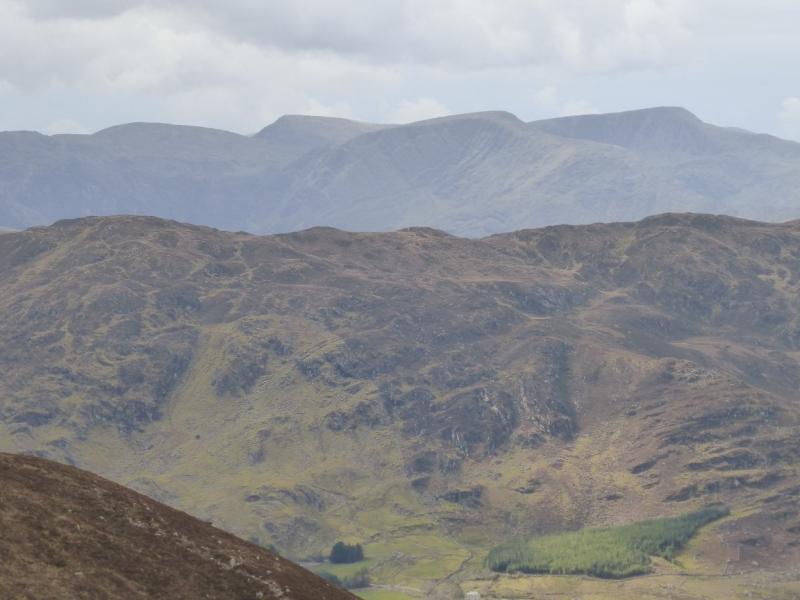
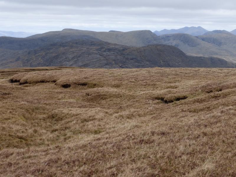
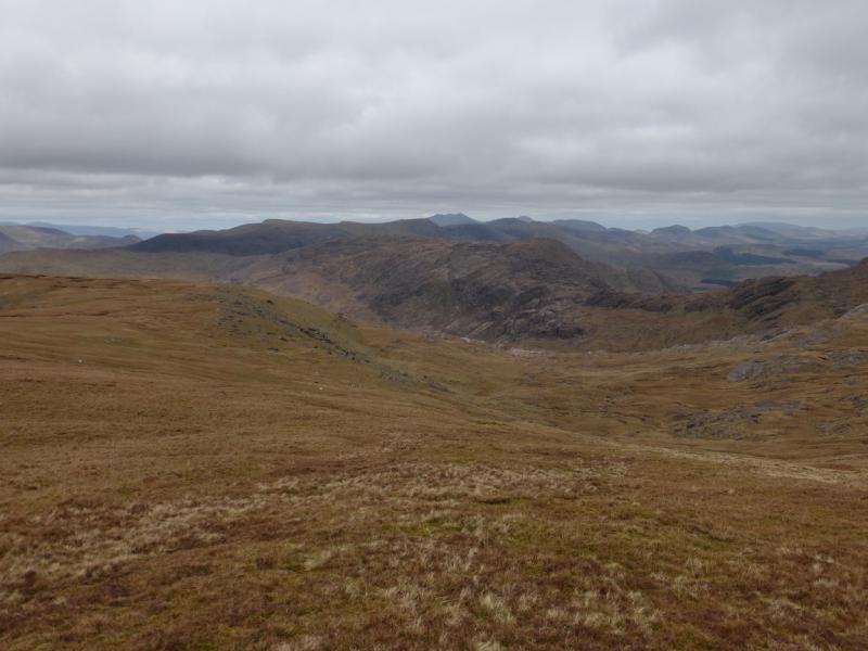
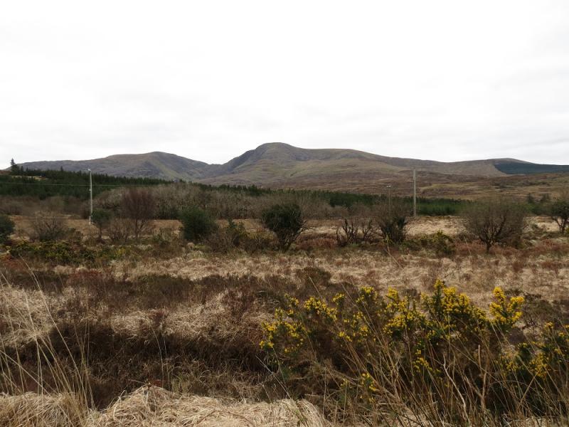
Photos - Hover over photo for caption. Click on to enlarge. Click on again to reduce.