Get Lost Mountaineering
You are here: Ireland » South West » Killarney to Mallow to Cork
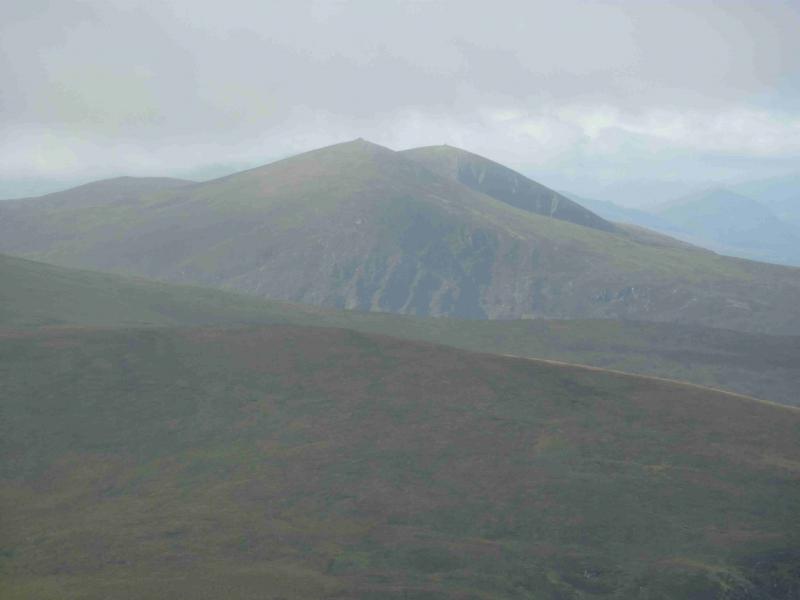
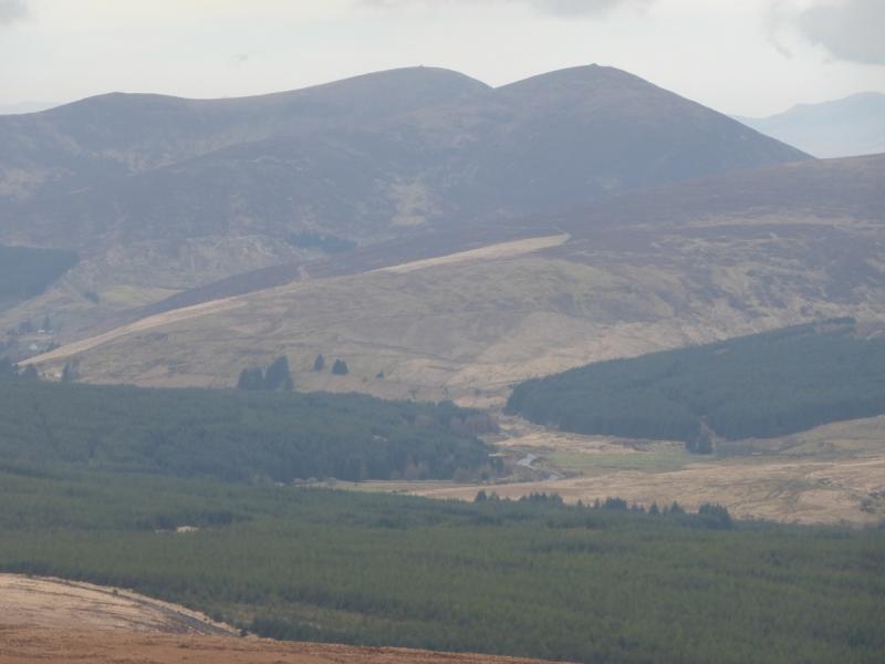
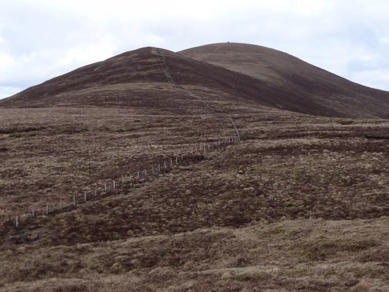
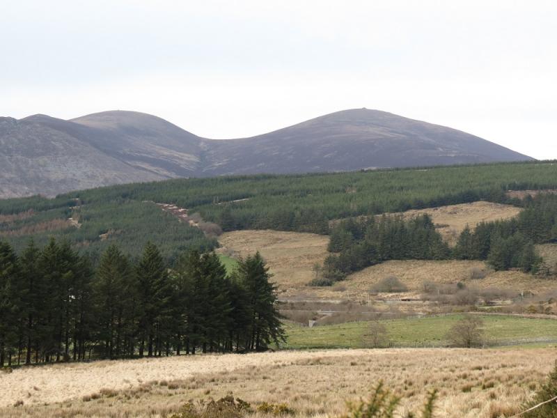
The Paps from the Clydagh Valley
The Paps from the Clydagh Valley
Start/Finish
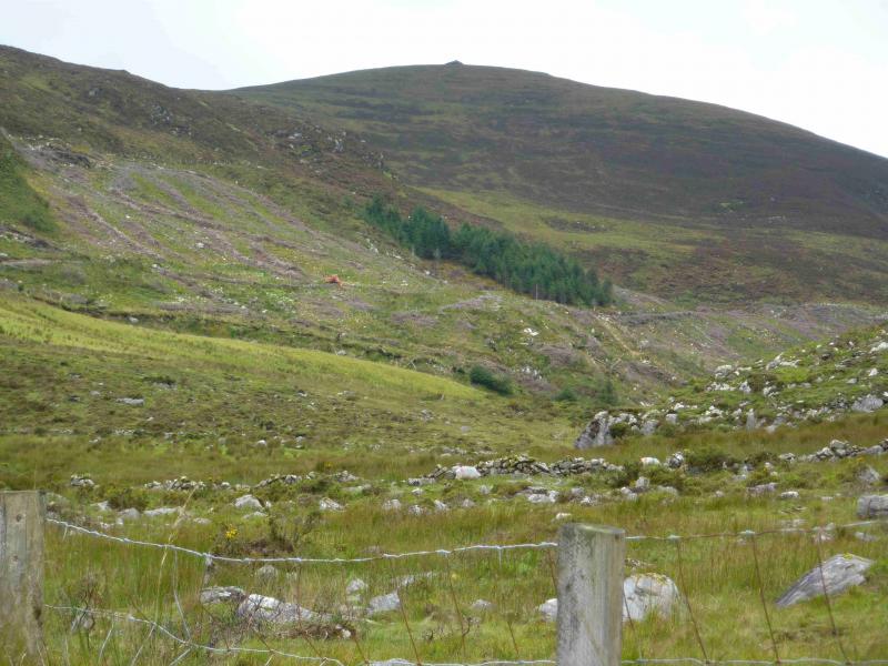
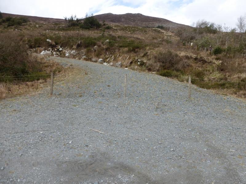
From Killarney, take the N22 road towards Macroom and Cork. After about 11 miles (18 km), take the turning for Clydagh Valley (on the left). Continue on the minor road for 2.3 miles from the N22, making sure you turn left to cross Clydagh Bridge or you will return to the main road. After a large wood, pass a wide entrance to a gravel forestry track just before the parking spot is reached. This is where the old forestry track meets the road but the entrance is now closed by a small wire fence (no barbed wire). There is space for about 4 cars if parked at right angles to the road. Arrive early as other parking spots are hard to find close by.
Distance/Time
8 km About 3 - 4 hours
Peaks
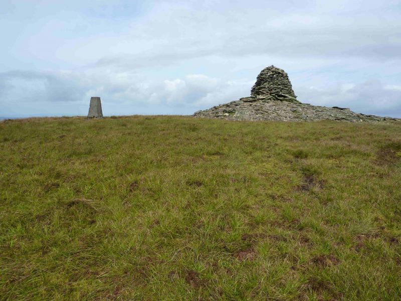
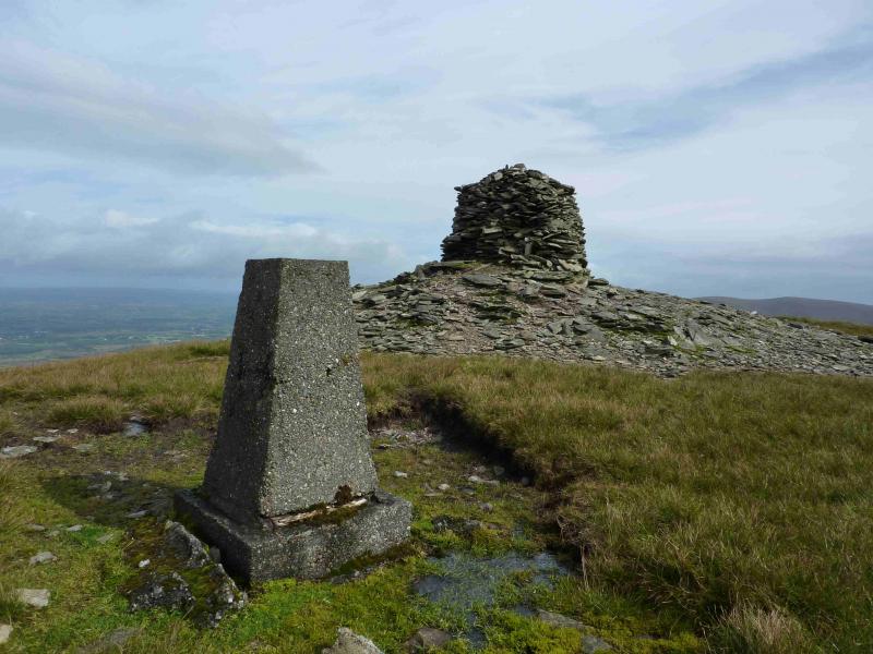
The Paps West, 690 m, W 125 855.
The Paps East, 694 m, W 133 855. (Irish National Grid System)
Irish OS Discovery Series Map 79 (1:50000)
Introduction
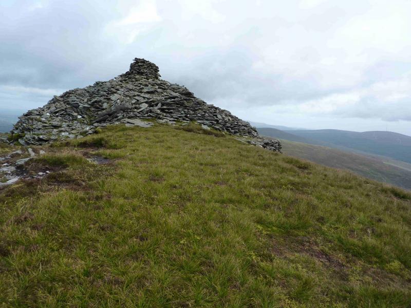
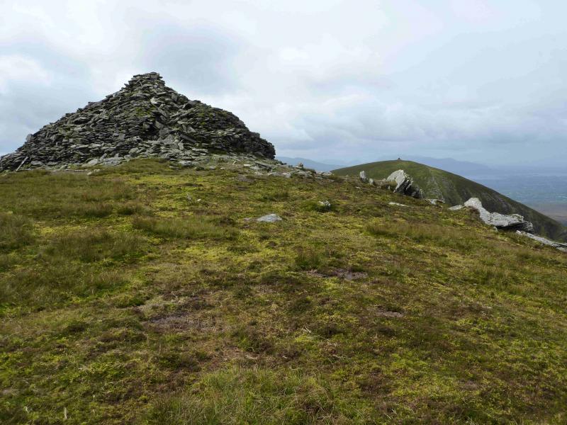
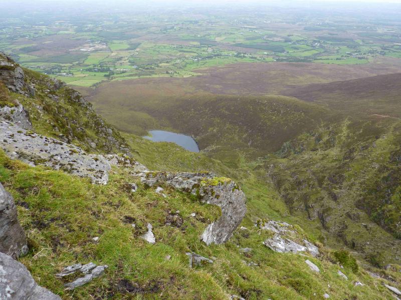
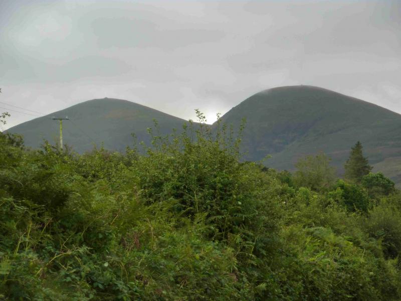
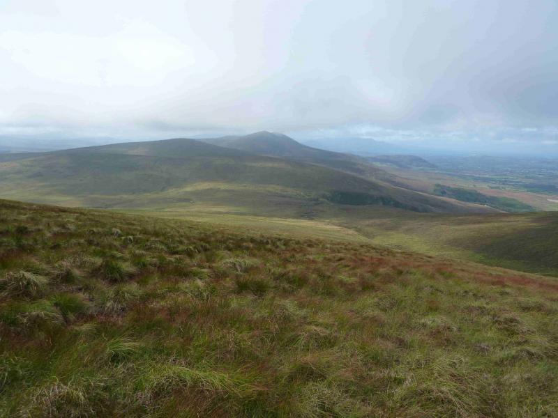
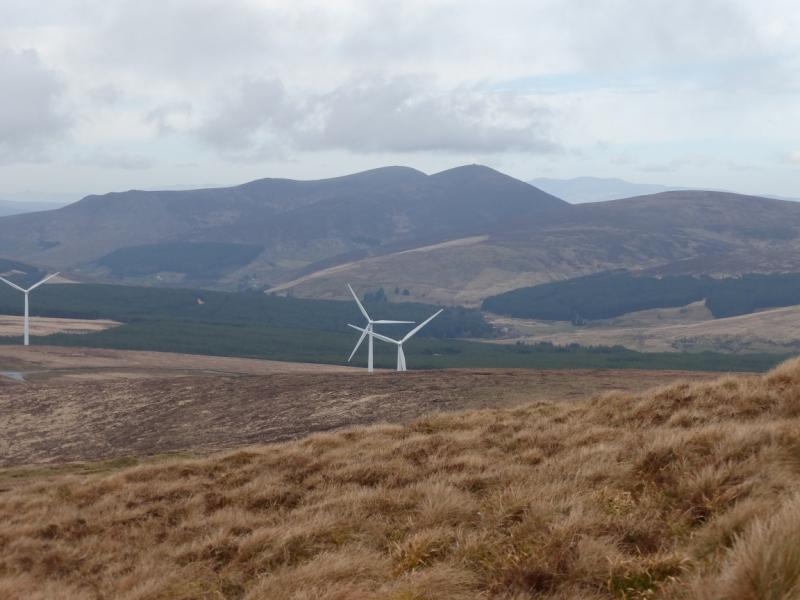
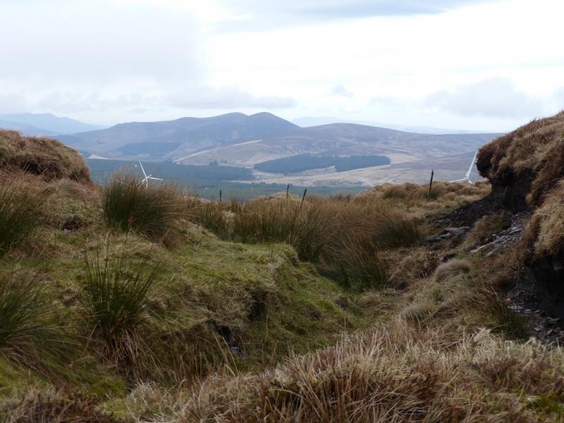
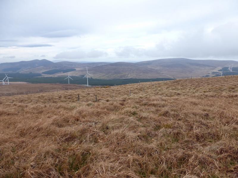
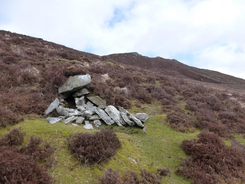
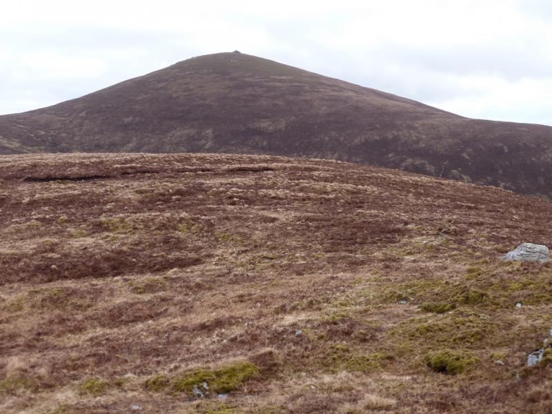
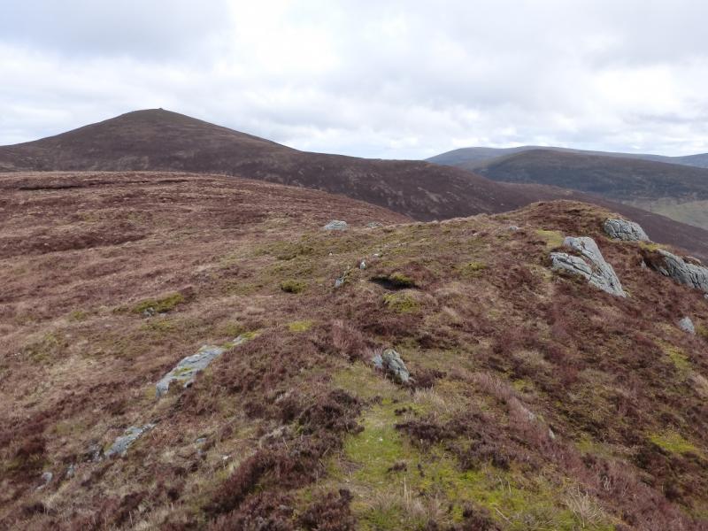
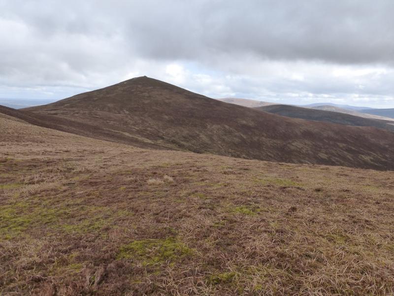
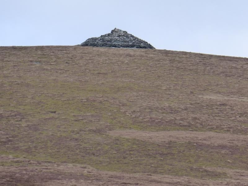
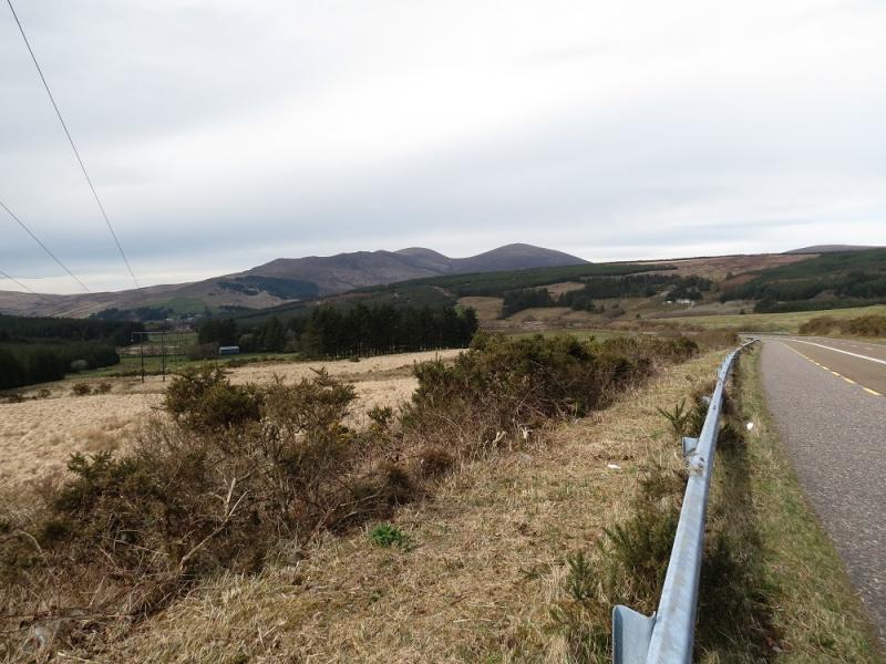
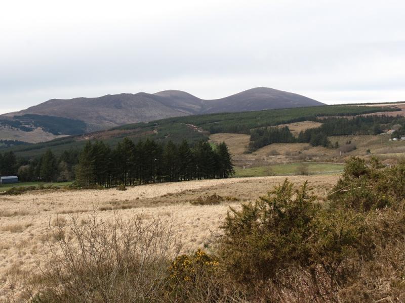
The Paps are two moorland summits, of almost equal height which lie about 20 km east of Killarney. The most interesting aspect of the walk are the two summits which sport cairms which may date from pre-history. In clear weather, there are good views especially to Crohane, which is just across the main road, and Mullaghanish (with its tall masts) but also to Purple Mountain and Macgillycuddy's Reeks. There seems to be a mistake on the 2011, third edition of OSI map 79. The stream from the col between the two tops is shown to flow continuously from the Clydagh Valley, over the col and down to Lough Nageeha which is clearly impossible! The new forestry track has made access much easier and quicker and the ascent route described now seems to be the most popular way up the mountain.
Route
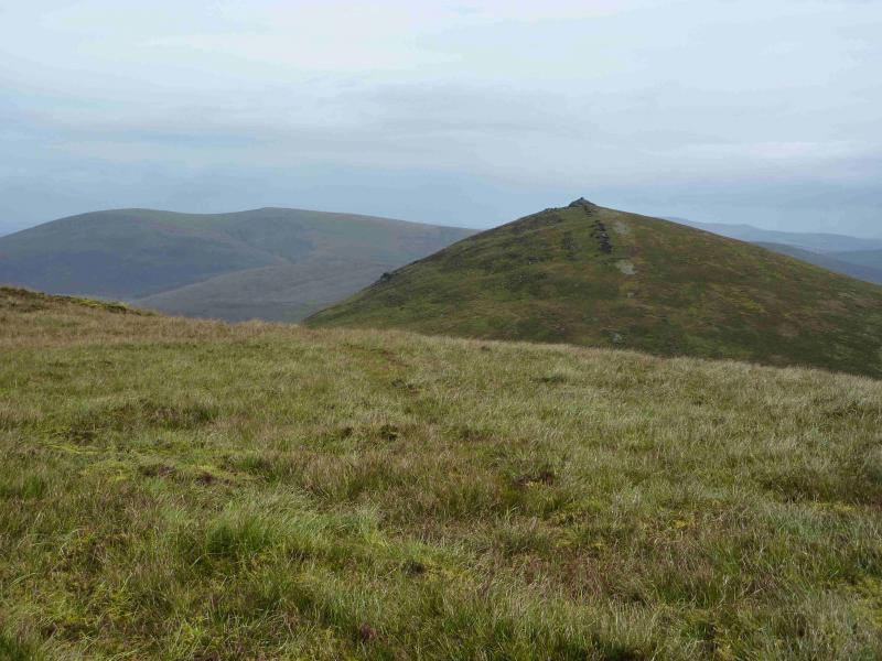
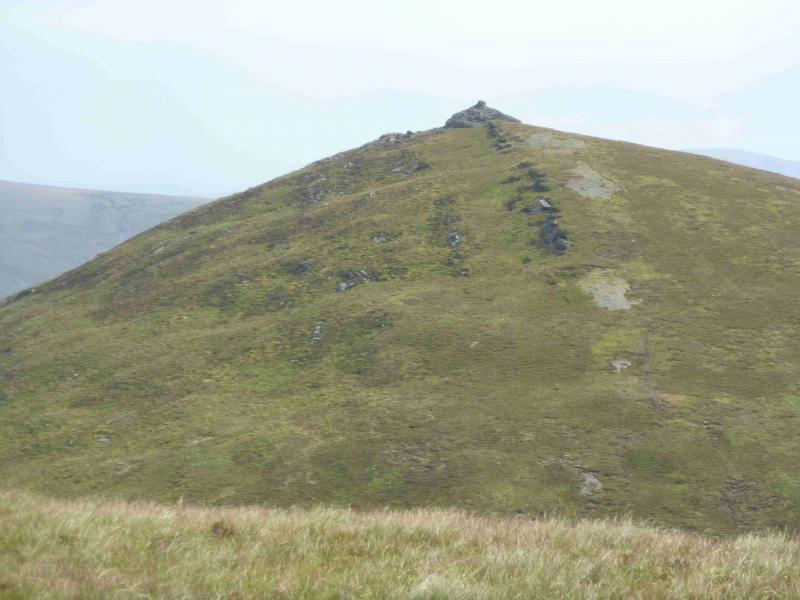
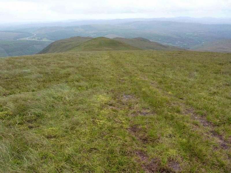
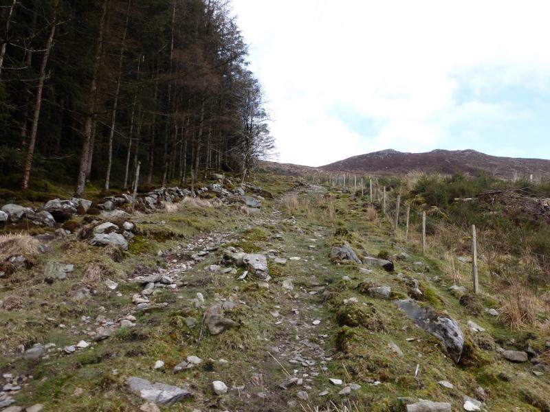
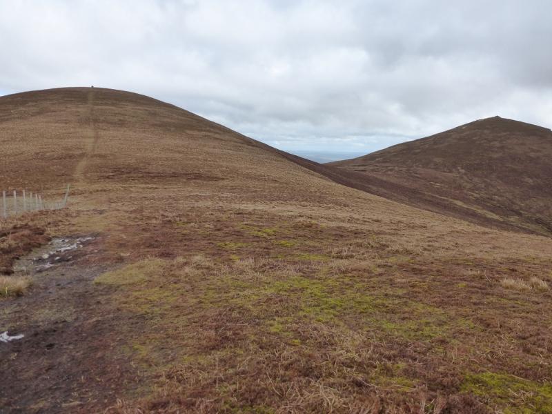
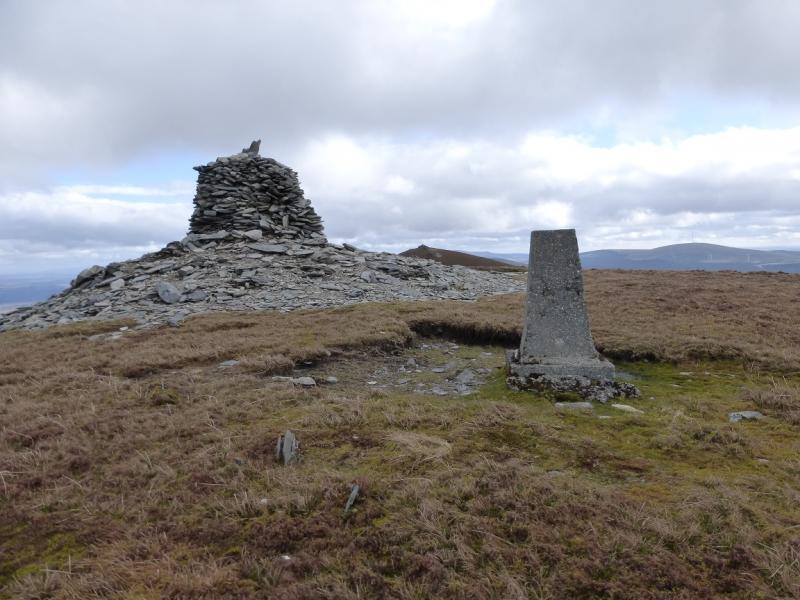
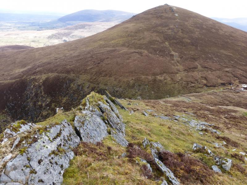
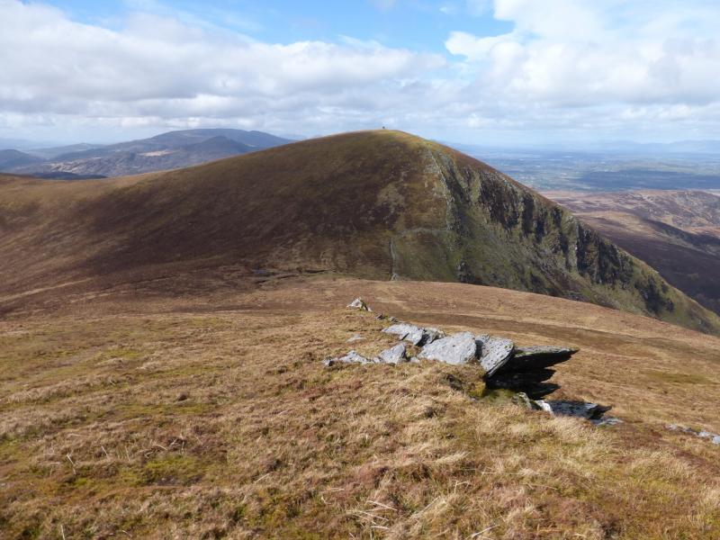
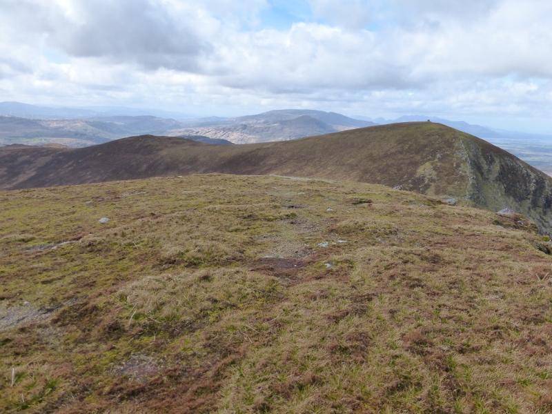
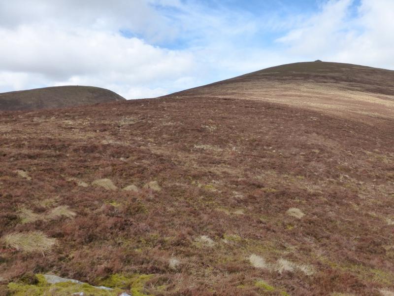
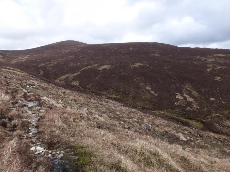
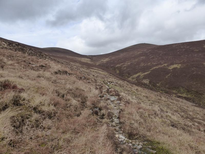
(1) Walk up the wide forestry track to its end by the wood. Cross over the fence (care, barbed wire) and walk up an old and rough track/path by the side of the forest. When the top corner of the forest is reached, cross an easy wire fence. Above lies a ridge, obvious in clear weather. Pick a way up to it. There are lots of minor sheep tracks but no major path – yet. The going is easy on grass and sparse heather. When the crest is reached, a fence will be seen coming in from the left on another ridge. It may not look like it but this fence turns a corner then heads up a well defined ridge towards the summit which is useful to know in mist. It is worth ascending to the top of the crest seen from below before following the fence mainly N. The ground is slightly boggy in places but the path is obvious. The fence leaves the ridge, going W, on the last col before the top but the path onward is very obvious and soon leads to the trig point and huge cairn which marks the summit of The Paps West, 690 m.
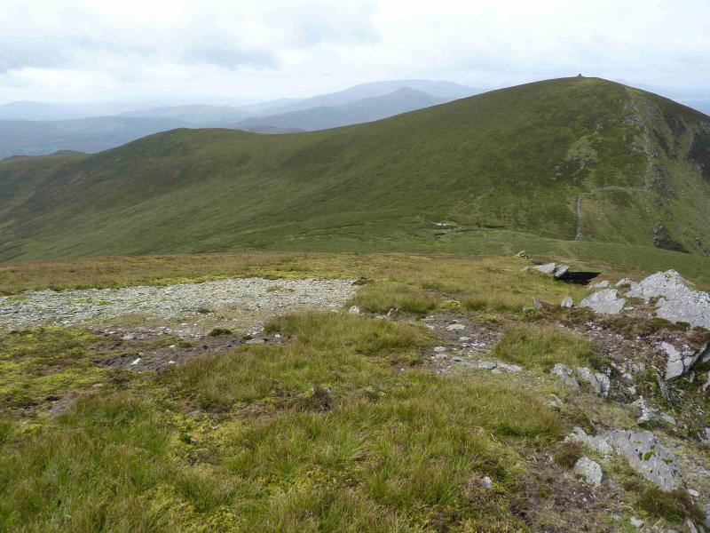
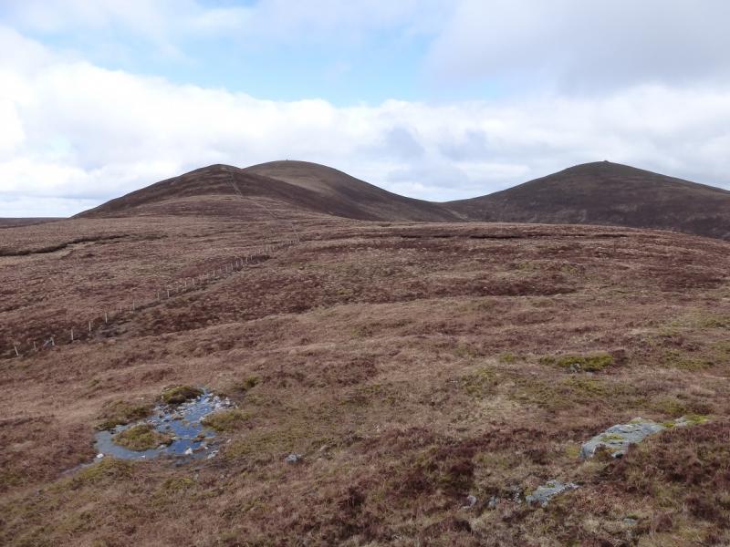
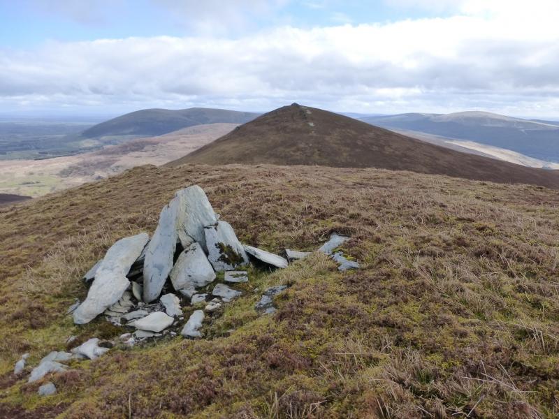
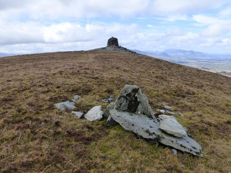
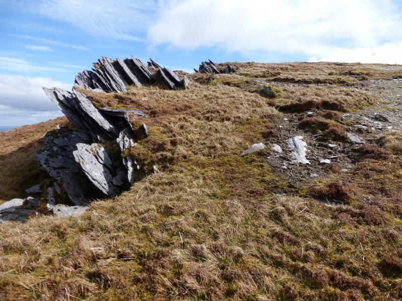
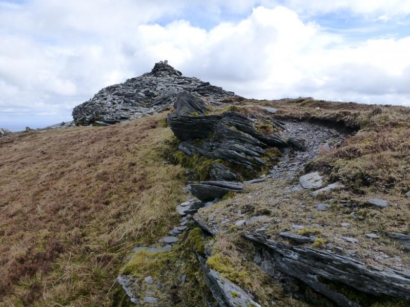
(2) From the summit, a path goes roughly NE, to a small cairn, then down turns more to the E and descends an edge with blades of rock on it which seem to become a wall lower down after a dog leg to the right. The “wall” ends just below the col on the N side from where a grassy strip/path leads up past some small blades of rock on the left, to reach the huge cairn which marks the summit of The Paps east Top, 694 m. Alternatively, descend slightly S of E from the W Top down heathery/grassy slopes, with virtually no exposure, to reach the broad, wet and mossy col. The wet ground can be avoided on the right, S, then ascend E to join the path already described.
(3) There are two reasonable ways back – three if you include a return over the Paps West. Either walk down the SSE ridge, crossing the stream after about 1 km or lower down but before the wood. There is sparse straggly heather lower down and no obvious path. Once across the stream, the ground is better and one can contour around to the corner of the wood on the outward route. A dry stone wall with a rough track on its downhill side can be a useful guide. Alternatively and much easier and cleaner, retrace to the col between the two Paps then contour easy slopes to rejoin the S ridge of The Paps West then follow the outward route back to the start.
Notes
(a) This walk took place on 4th April, 2014.
(b) A longer route to the Paps is also uploaded. This starts from near Garries Bridge to the west and is much longer.
(c) The Fossa camp and caravan site, at V 910 923 is very good and very well situated for the Killarney mountains, especially Macgillycuddy's Reeks and Purple Mountain as it is only about 3 miles from Kate Kearney's Cottage. At Fossa, there are camping and caravanning facilities as well as a hostel and static trailer vans can also be hired. For campers, there are excellent showers (small extra charge) and there is a good campers’ kitchen with tables, sinks and cooking area if you have your own cooker and pans. Gas rings are available (small extra charge). There is also a TV room. Reception is open quite late in the high season and the staff are very helpful. A computer is available for hire and there is a freezer in reception. There is a bus stop outside the site for Killarney. There is a 24 hour Tesco which is off the northern bypass (turn right at 4th roundabout then right at next). Out of high season, it can be better for 2 people to rent a trailer van than to camp separately.
Photos - Hover over photo for caption. Click on to enlarge. Click on again to reduce.