Get Lost Mountaineering
You are here: Ireland » South West » Beara Peninsula
Tooth Mountain, Coomacloghane, Eskatarriff & Lackabane from near Lauragh
Tooth Mountain, Coomacloghane, Eskatarriff & Lackabane
from near Lauragh
Start/Finish
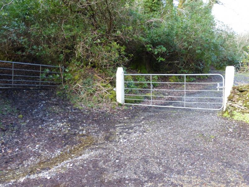
From Killarney, take the N71 road to Kenmare then the R571 to Lauragh. Go past the church and the turning for the Healy Pass then past the school and Post Office. Cross the bridge over the inlet of the sea loch then take the first left. After a left hand bend, a road goes off to the right. Park by this junction. There is space for about 3 cars on the left just inside the turning.
Distance/Time
15 km About 7 - 8 hours
Peaks
Cummeennahillan,, 356 m, V 754 562. (Irish National Grid System)
Knocknaveacal NE, 513 m, V 743 562.
Knocknaveacal, SW, 513 m, V 742 559.
Tooth Mountain, 590 m, V 741 553
Coomacloghane, 599 m, V 732 548.
Eskatarriff NW, 584 m, V 726 539.
Eskatarriff W, 596 m, V 730 534.
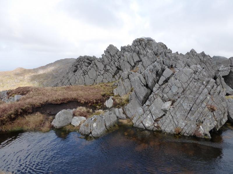
Eskatarriff, 600 m, V 747 533
Peak 531, 531 m, V 743 531.
Lackabane, 602 m, V 751 536
Curraghreague, c 600 m, V 755 538.
Irish OS Discovery Series Map 84 (1:50000)
Introduction
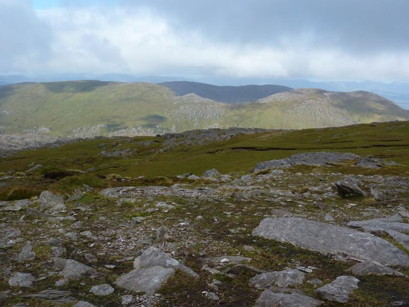
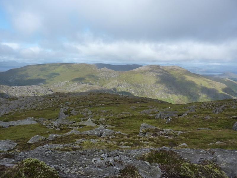
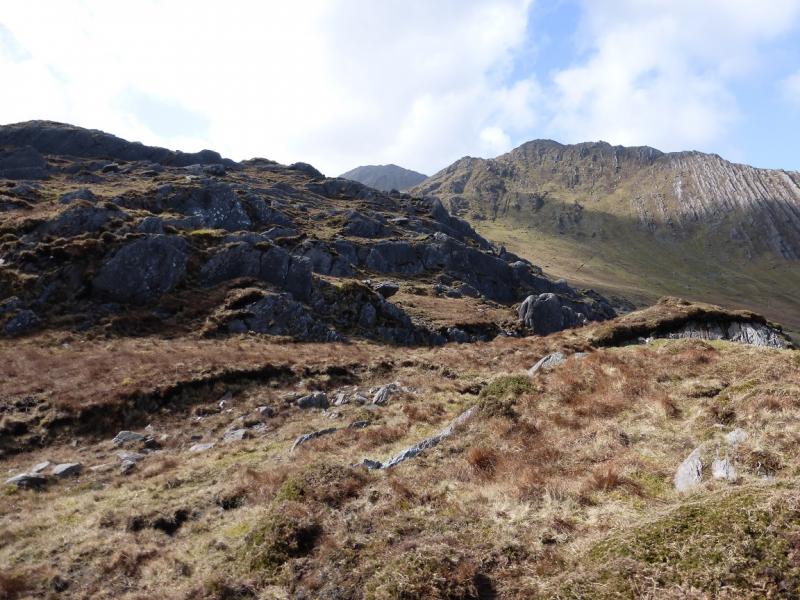
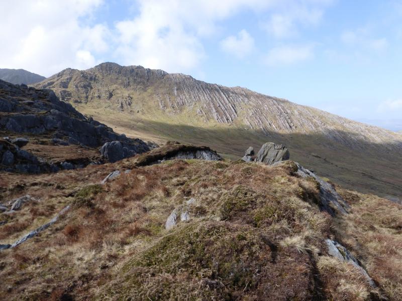
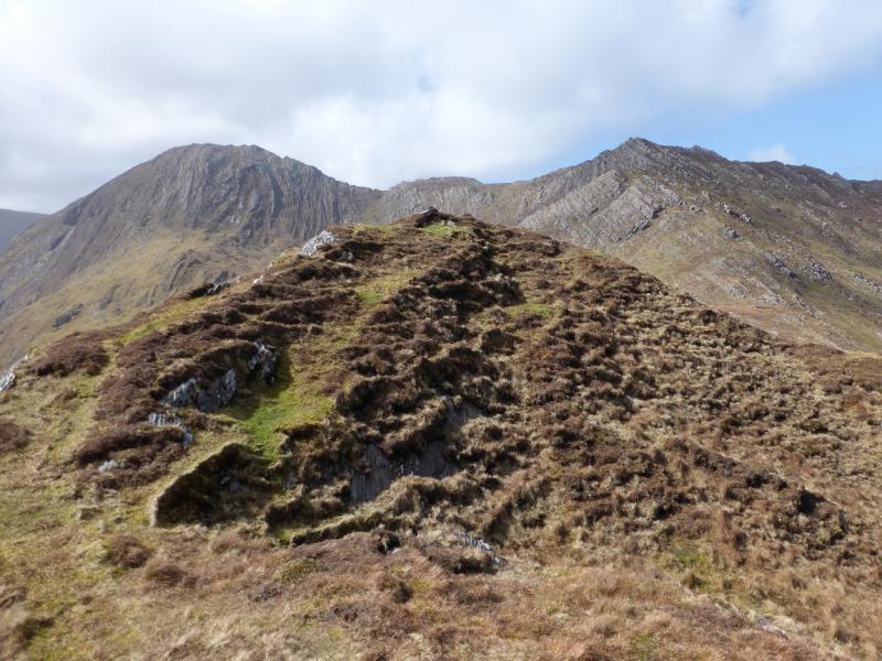
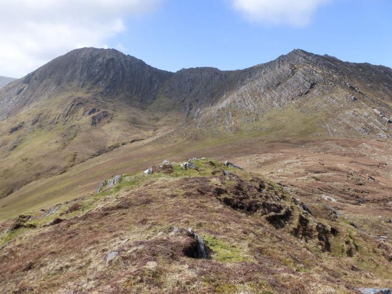
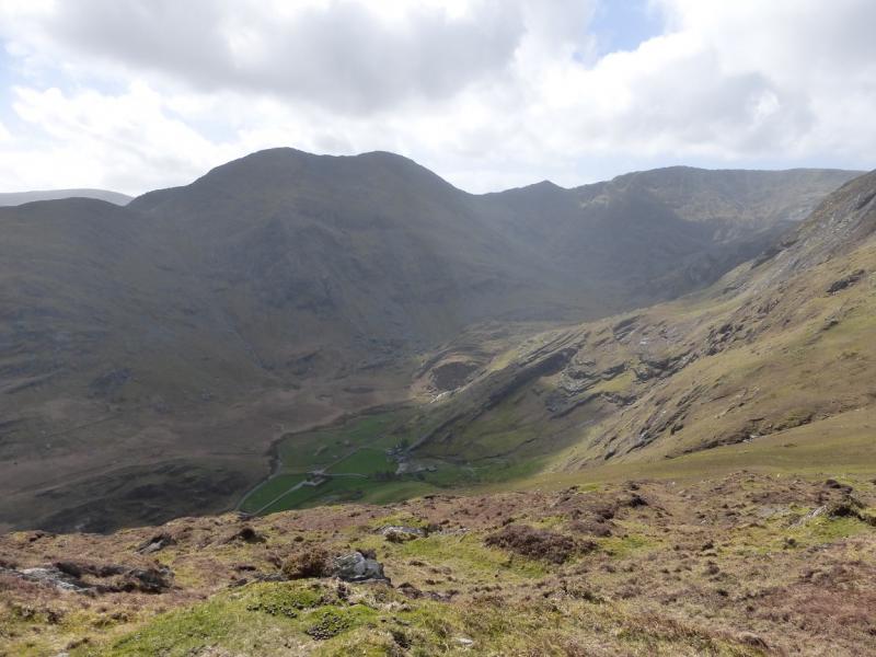
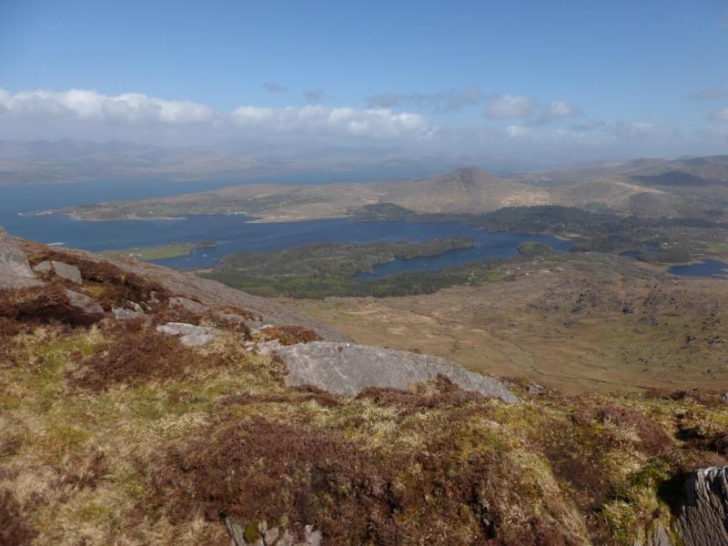
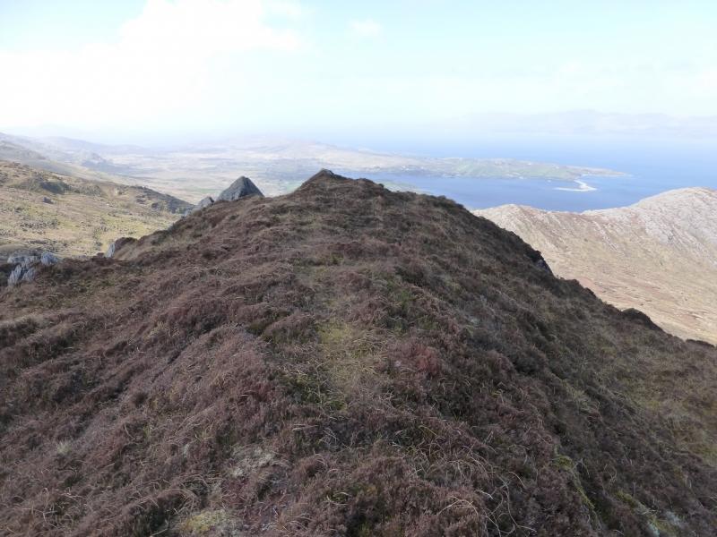
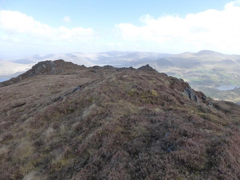
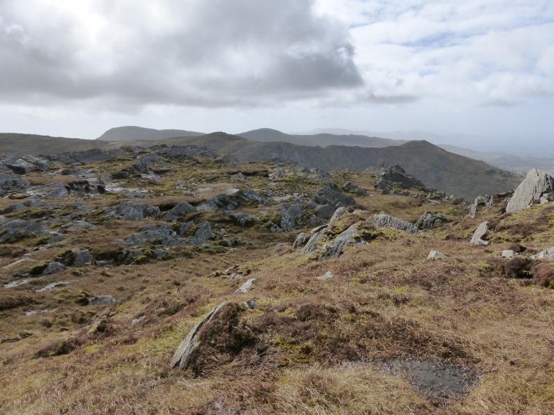
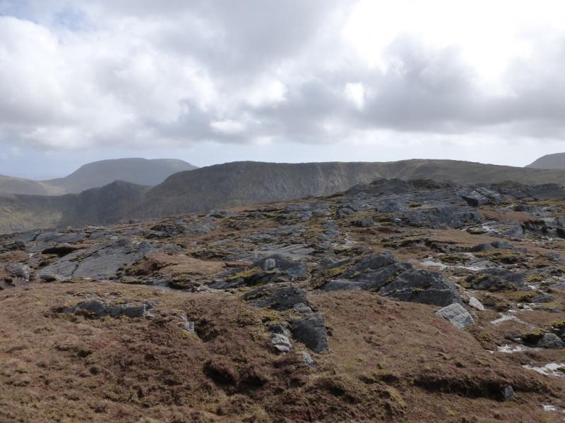
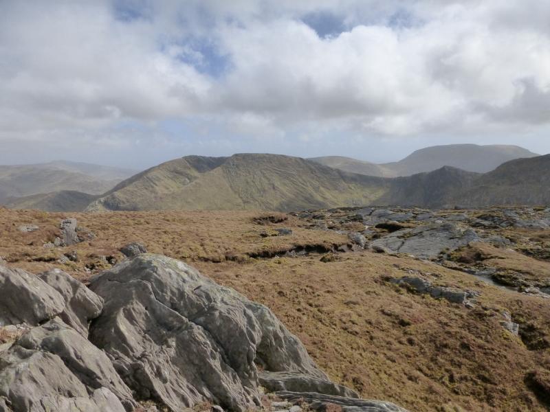
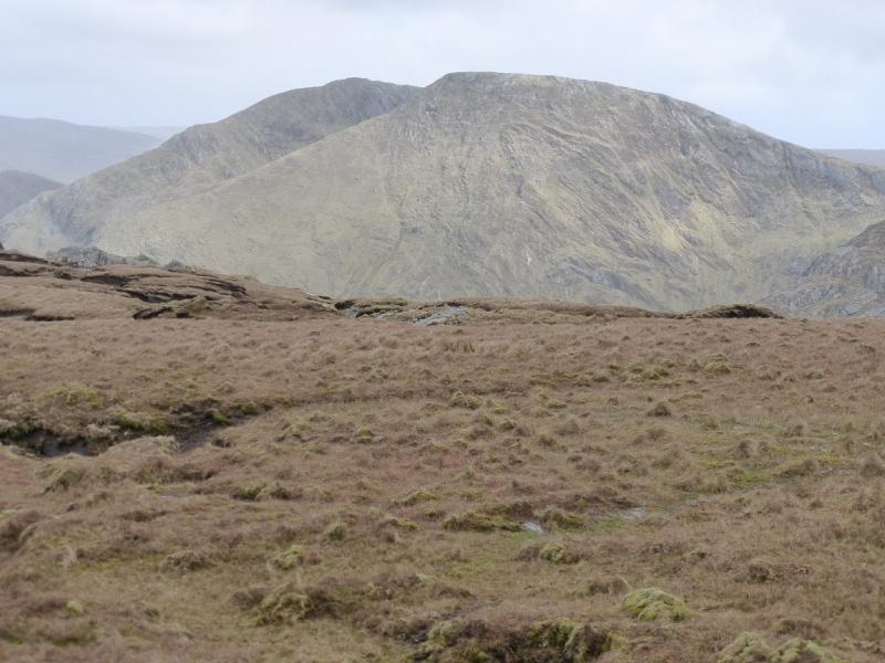
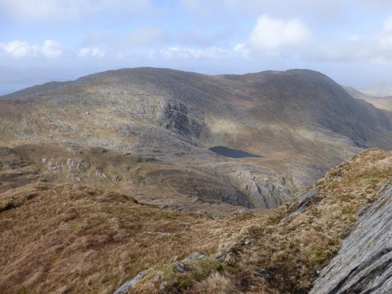
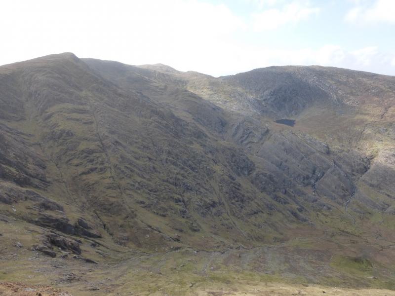
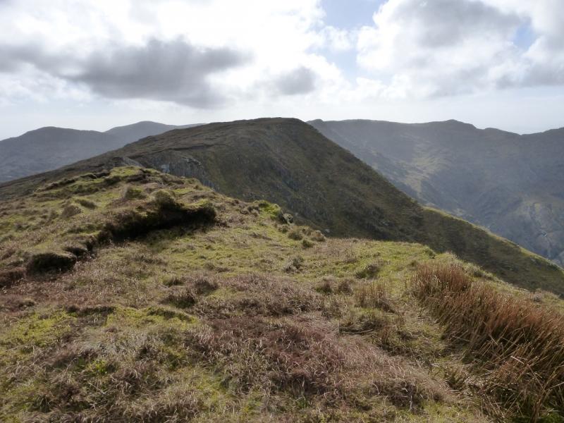
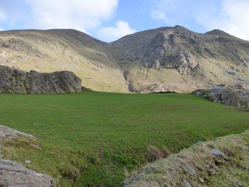
Although this round contains no peaks higher than 602 m, don't, for one second, think this is an easy day out. It is as tough as any other route in Kerry. Much of the route is pathless. The terrain is fairly complex and would pose serious navigational problems in mist when many will seek the reassurance of a GPS. However, given the views, including sea scapes, it is well worth saving this walk for a clear day but do bear in mind that their exposed position leaves these mountains prone to the worst of the Atlantic weather especially to strong winds. Mountains which are well seen include Knockowen, across the Healy Pass, and the Hungry Hill, Knockagree and Maulin range. The start is a little awkward but once on the foot of the NE ridge of Cummeennahillan, there are no fences which pose problems. The descent from Curraghreague goes down a steep, well defined ridge then down a steep corrie which might be problematical under snow.
Route
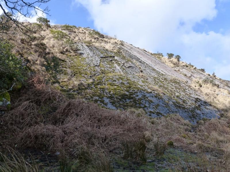
(1) Walk back along the road to where there are twin metal gates. Go through the right hand one and the gate which follows. A track lined with rhododendrons leads to a house. Go around the left of the house where a barbed wire fence bars access to a faint path. Climb over the fence and follow the path up to the right into a wood. Keep going roughly SW, even if the path is lost, and soon emerge from the wood, possibly close to a large sloping slab on the left. Pick a way on to the ill-defined ridge heading SSW. In clear weather, the rocky N ridge of Knocknaveacal will be prominent on the right. Follow the ridge up and eventually reach the very small cairn which marks the summit of Cummeennahillan,, 356 m.
(2) Descend W to a col then continue ascending on the other side. When the angle eases, there are several tops around but the one you want is the last to be reached. There is no cairn to mark the summit of Knocknaveacal NE, 513 m. The highest point is on a short heathery ridge.
(3) Descend rocky terrain SSW then ascend to a top of the same height where there is a very small cairn on a rocky rib which marks the summit of Knocknaveacal, SW, 513 m.
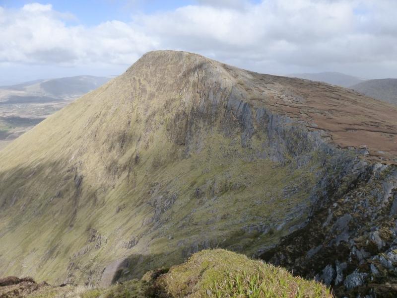
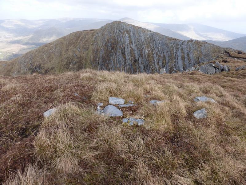
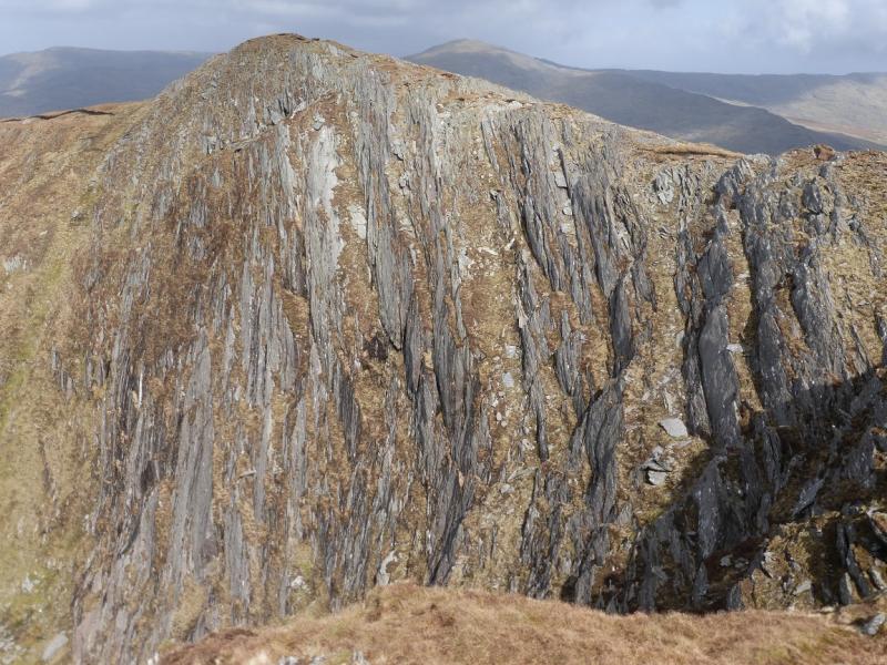
(4) Descend SSE down more rocky slopes, soon reaching a col. Pick a way up the rocky slopes on the other side, S then becoming SW, until a plateau is reached. A small cairn on the top of a long sloping slab marks the summit of Tooth Mountain, 590 m.
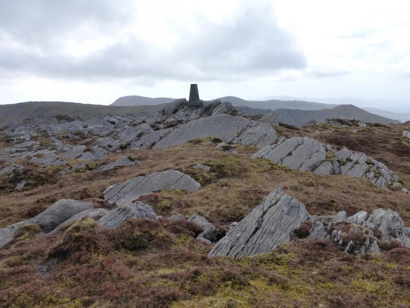
(5) Descend SW over rocky ground to reach a col then continue up the other side to reach the trig point which marks the summit of Coomacloghane, 599 m.
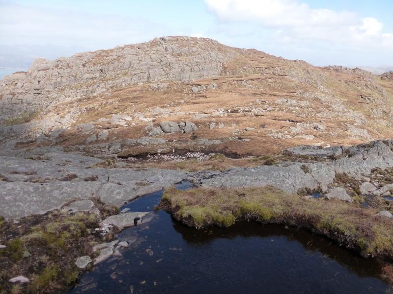
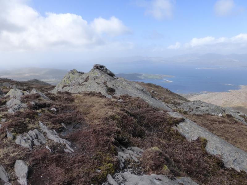
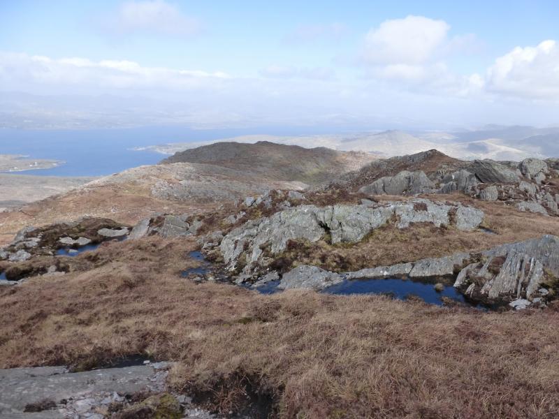
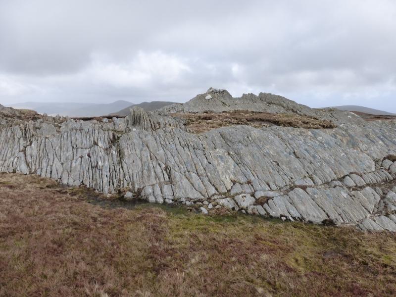
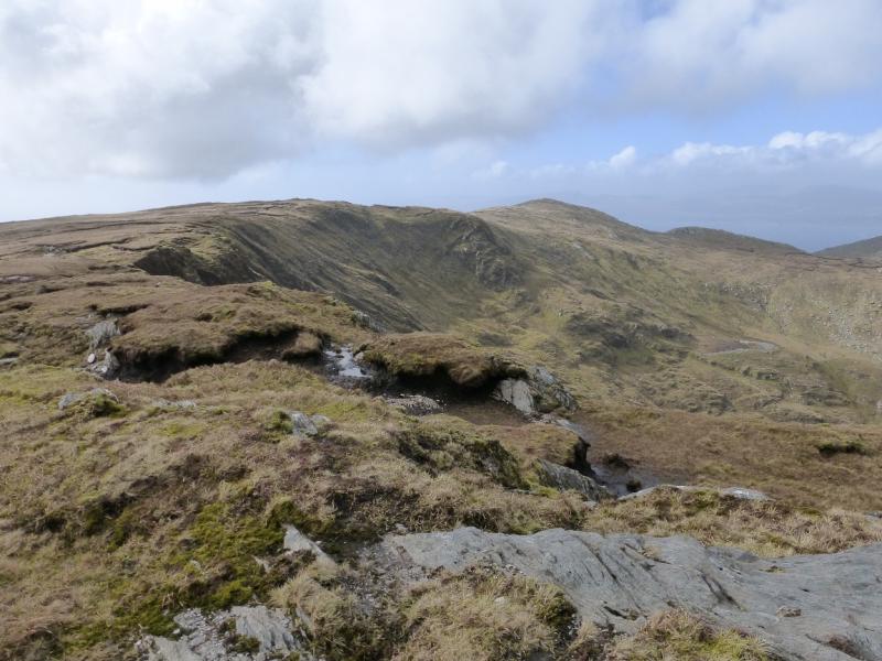
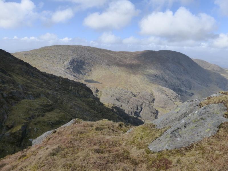
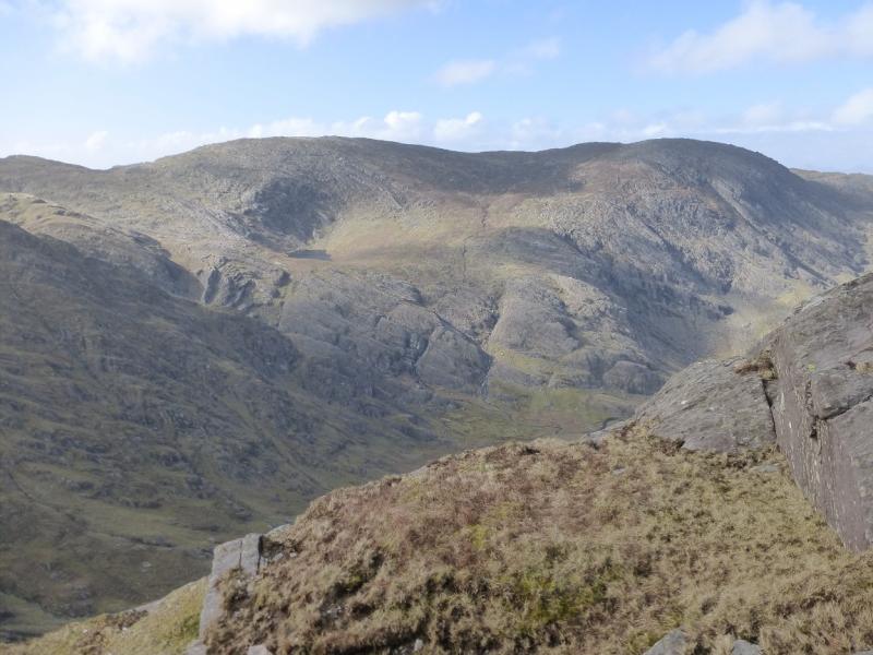
(6) Descend SSW on more rocky ground to reach a col. There is a mainly grassy ramp on the W (sea ward) side of the rocky crest. Continue up on mainly grassy slopes to reach a very small cairn on a small rocky outcrop which marks the summit of Eskatarriff NW, 584 m. There is often a small pool just before the summit.
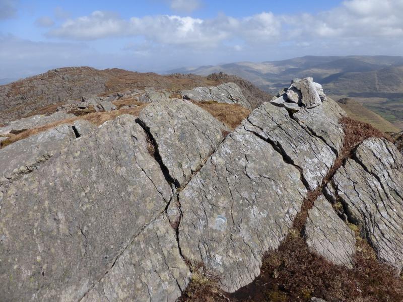
(7) Continue SE, along the crest with little descent then ascend about 40 m to the very small cairn, on an outcrop, which marks the summit of Eskatarriff W, 596 m. There is a sloping rock wall, about 1 m high, which crosses the crest just before the summit.
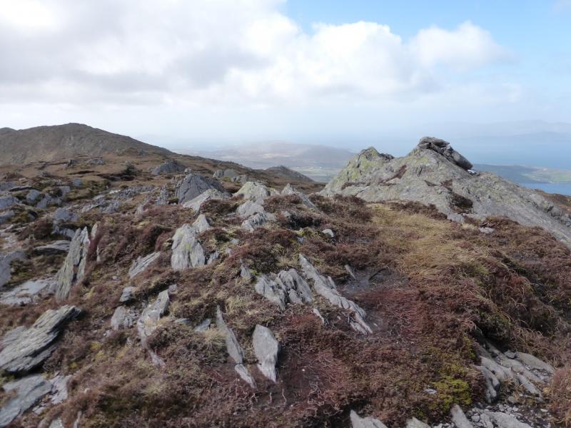
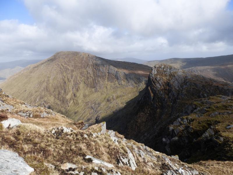
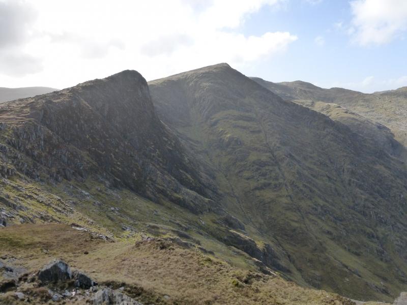
(8) Continue, on almost level ground, along the crest, for about 750 m, to the highest point of Eskatarriff, 600 m, where there is no cairn but some distinctive rocks just before the top.
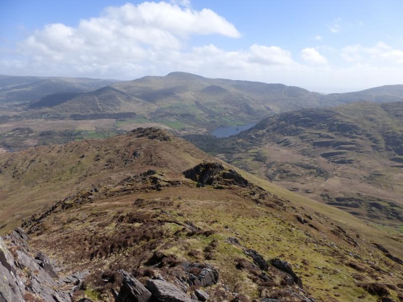
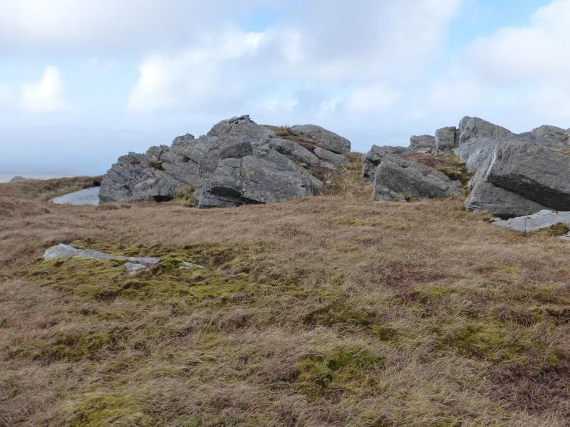
(9) Descend ESE to a col then ascend E, quite steeply, to the top of Peak 531, 531 m, where there is no cairn. This is a very distinctive peak between Eskatarriff and Lackabane and is well worth the extra few minutes it takes to ascend it.
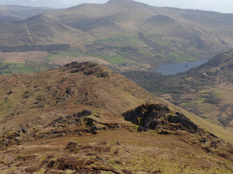
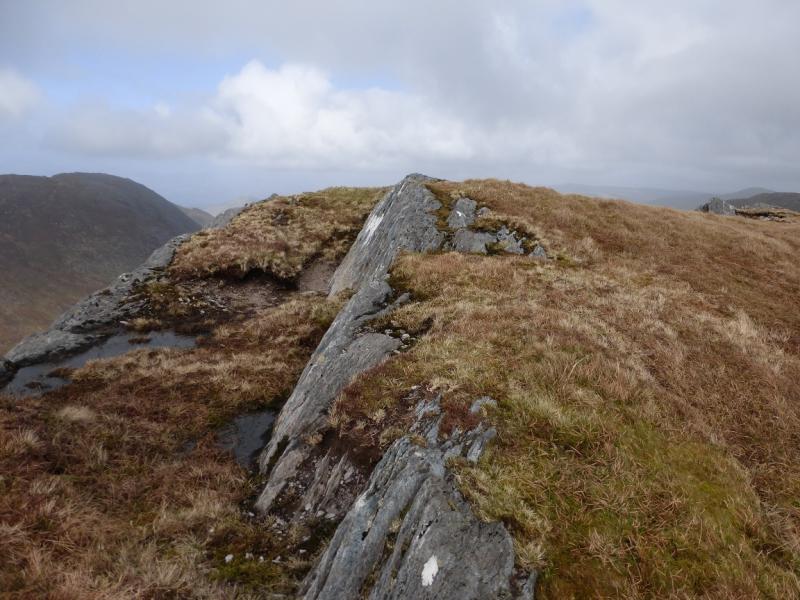
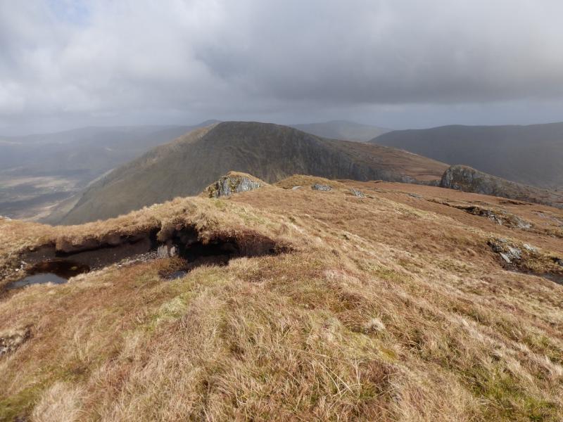
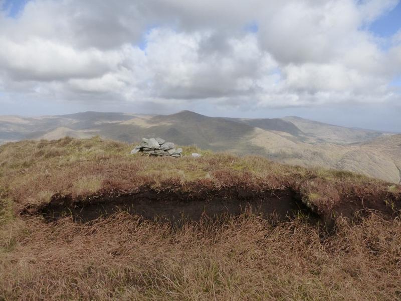
(10) Descend the E ridge then ascend NE up the long ridge to reach a small grasy plateau where a few stones on the ground seem to mark the summit of Lackabane, 602 m, which seems lower than Curraghreague.
(11) Continue E then NE along the edge of the corrie to reach the small cairn, on a grassy top, which marks the summit of Curraghreague, c 600 m. If Lackabane is correctly shown as 602 m then this summit, which seems higher, might be 610 m or higher.
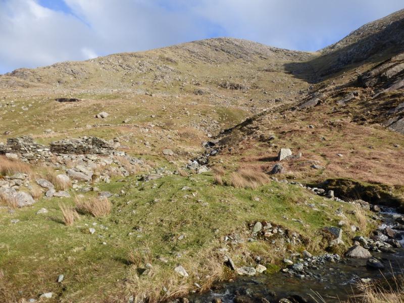
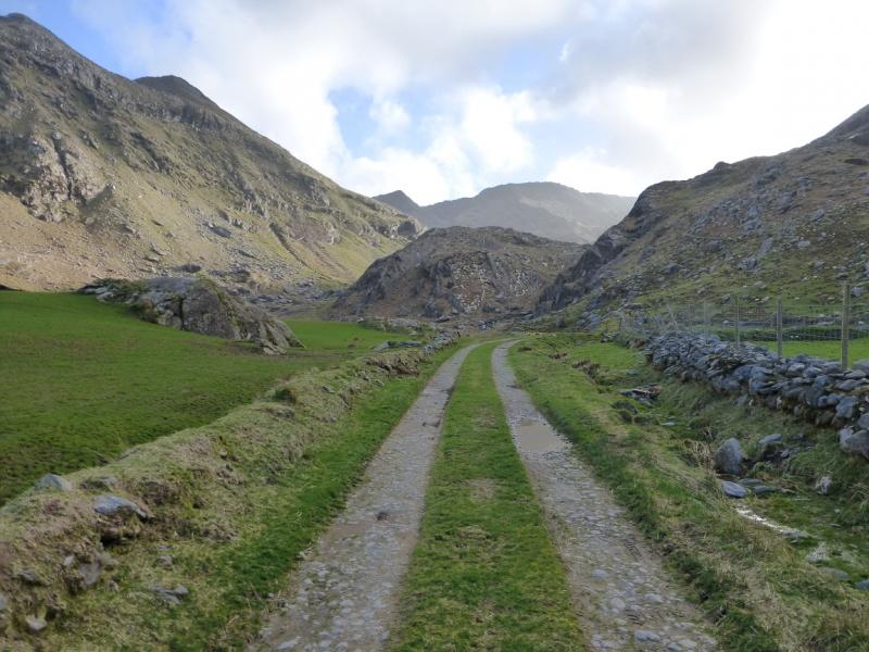
(12) Descend the moderately steep, but mainly grassy, NE ridge. There is more than a hint of a path. Reach an obvious well defined to the SW of Point 406. Turn left, NNW, and pick a way down the moderately steep, but mainly grassy, corrie. Lower down, the stream can be used as a guide although the best ground seems well to the right of this. Further down, an old ruin will be passed and a bridge should be seen over the river. This will “disappear” as you get lower but a stile nearby will be clearly visible. This leads to a green lane then a track then the road back to the start in about 3 km.
Notes
(a) This walk took place on 6th April, 2014.
(b) The Fossa camp and caravan site, at V 910 923 is very good and very well situated for the Killarney mountains, especially Macgillycuddy's Reeks and Purple Mountain as it is only about 3 miles from Kate Kearney's Cottage. At Fossa, there are camping and caravanning facilities as well as a hostel and static trailer vans can also be hired. For campers, there are excellent showers (small extra charge) and there is a good campers’ kitchen with tables, sinks and cooking area if you have your own cooker and pans. Gas rings are available (small extra charge). There is also a TV room. Reception is open quite late in the high season and the staff are very helpful. A computer is available for hire and there is a freezer in reception. There is a bus stop outside the site for Killarney. There is a 24 hour Tesco which is off the northern bypass (turn right at 4th roundabout then right at next). Out of high season, it can be better for 2 people to rent a trailer van than to camp separately.
Photos - Hover over photo for caption. Click on to enlarge. Click on again to reduce.