Get Lost Mountaineering
You are here: Scotland » 02 River Tay to Rannoch Moor » Bridge of Orchy & Tyndrum Hills
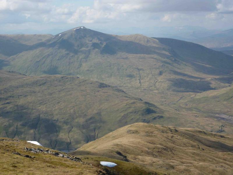
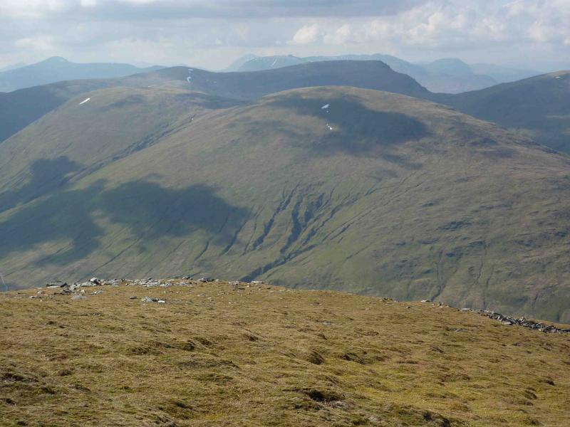
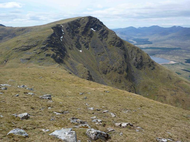
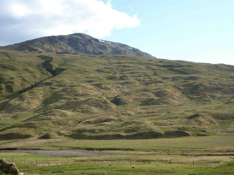
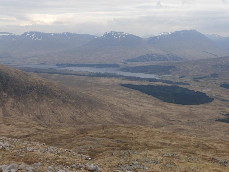
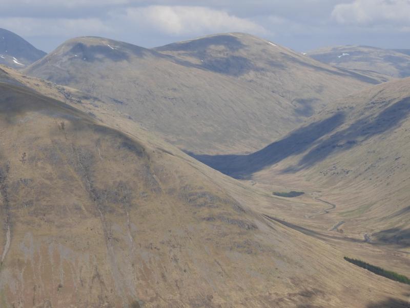
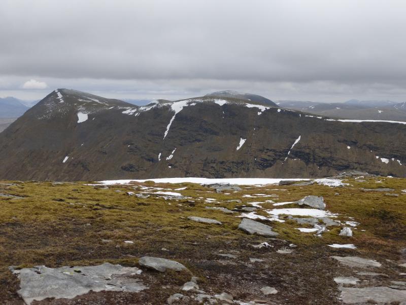
Achallader Hills
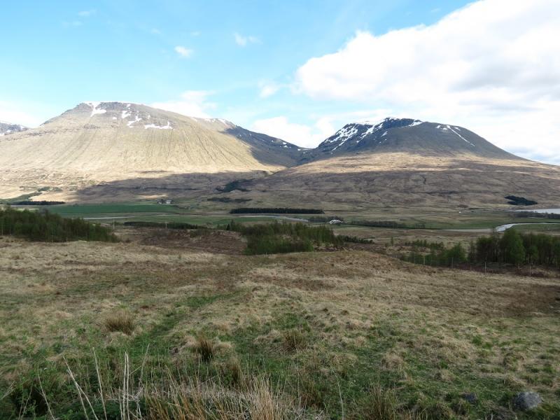
Achallader Hills from Loch Lyon
Start/Finish
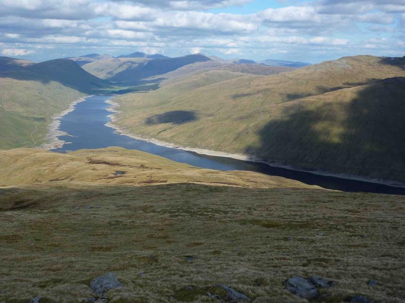
Drive up Glen Lochay from Killin to Kenknock then over the private road (usually open) which goes over to Glen Lyon. In 2010, this road was littered with potholes which can only be driven over at very low speeds. In the absence of any repairs, the road is expected to be closed in the near future. This would mean using the public road in Glen Lyon to approach the start near the Loch Lyon dam at the end of the road. Park on the verge at the start of the track just to the W of the hamlet of Pubil at about NN 460 420. The track shown on the map now goes completely around Loch Lyon with a branch from the N inlet going into Gleann Cailliche.
Distance/Time
29 km of which about 14 km can be cycled. Approx 10 hours if cycled.
Peaks
Beinn a’ Chreachain, 1081 m, NN 373 440.
Meall Buidhe, 978 m, NN 359 438.
Beinn Achalladair, 1038 m, NN 344 432.
Beinn Achalladair S Top, 1002 m, NN 342 420.
Beinn a’ Chuirn, 923 m, NN 360 409.
Beinn Mhanach, 953 m, NN 373 411. OS Sheets 50 & 51.
Introduction
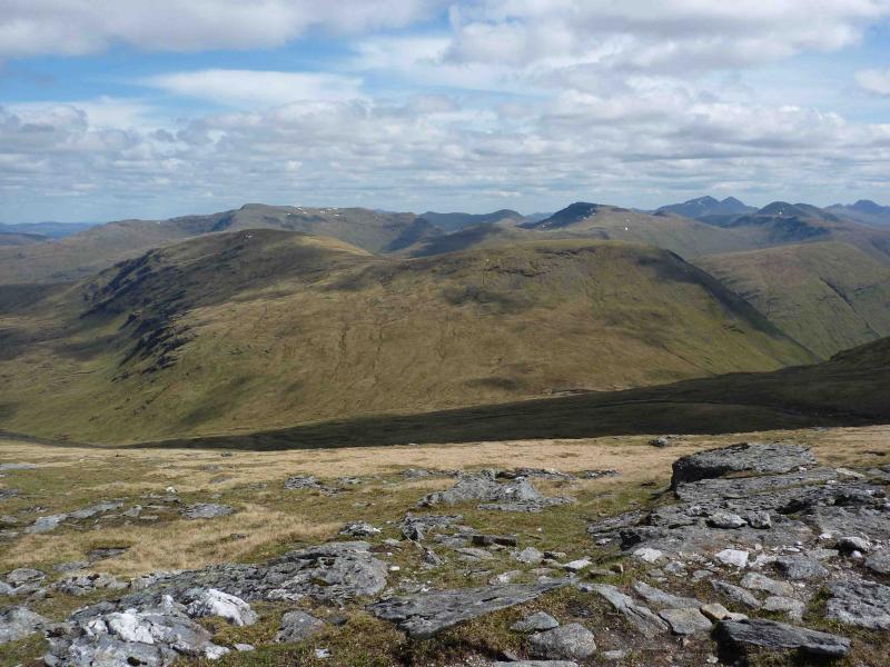
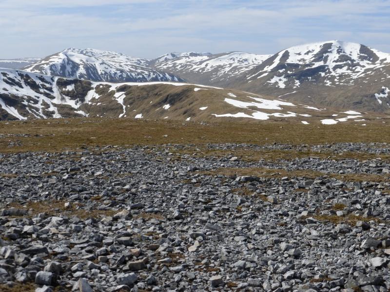
This is a tough walk and a tough cycle with a steep climb at the start but the views on a clear day are as good as they get and include Ben Nevis, the Glen Lochay hills, Crianlarich hills, Ben Lui hills, Black Mount, Ben Alder, Ben Lawers. In extra clear visibility, even the Cairngorms and Ben More on Mull are visible.
Route
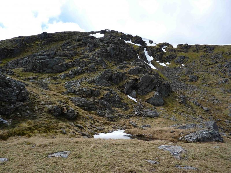
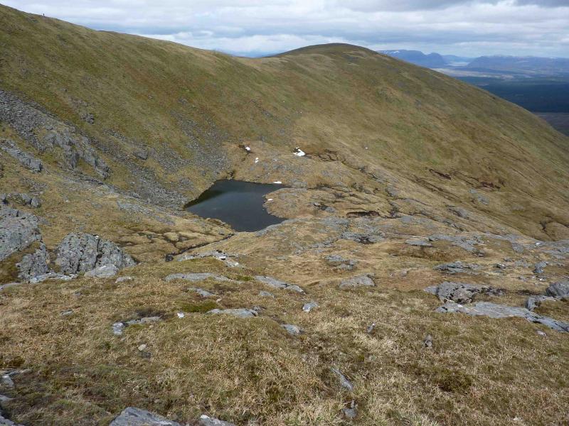
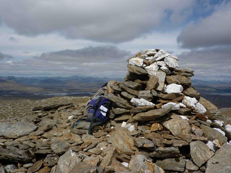
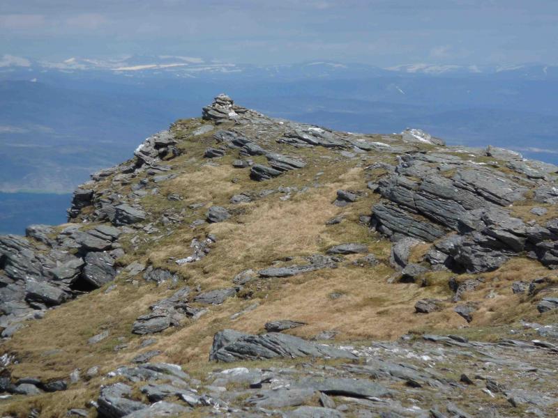
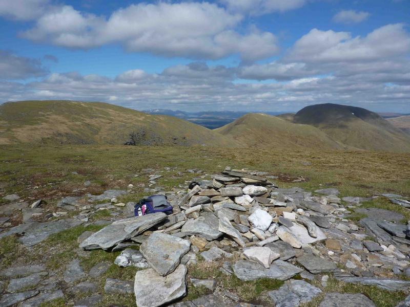
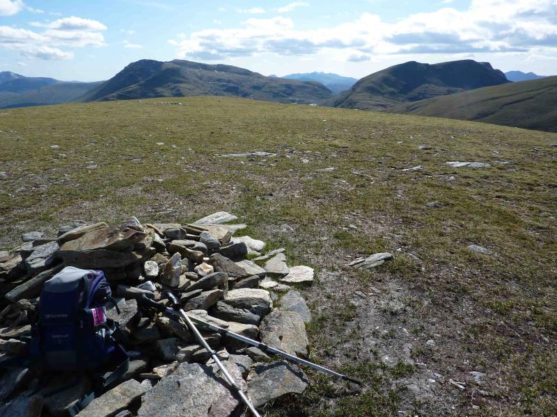
(1) Walk or cycle W along the track for about 7 km until the track turns N at the obvious inlet. At a branch, just before the main track descends to cross a bridge at the head of the inlet, leave the bicycle and walk along the branch to the first stream. This should be easy to cross. Head roughly NW up easy grassy slopes aiming for Pt 961 at NN 378 449 which should be visible from below in clear weather. As height is gained, a rocky stream/waterfall will be seen to the left cutting across a rocky ridge – the ridge before the Pt 961 ridge. Aim for this ridge and ascend it on grassy rakes which weave between the rocks. The lochan shown on the map is passed on its left. Reach the large summit cairn of Beinn a’ Chreachain, 1081 m.
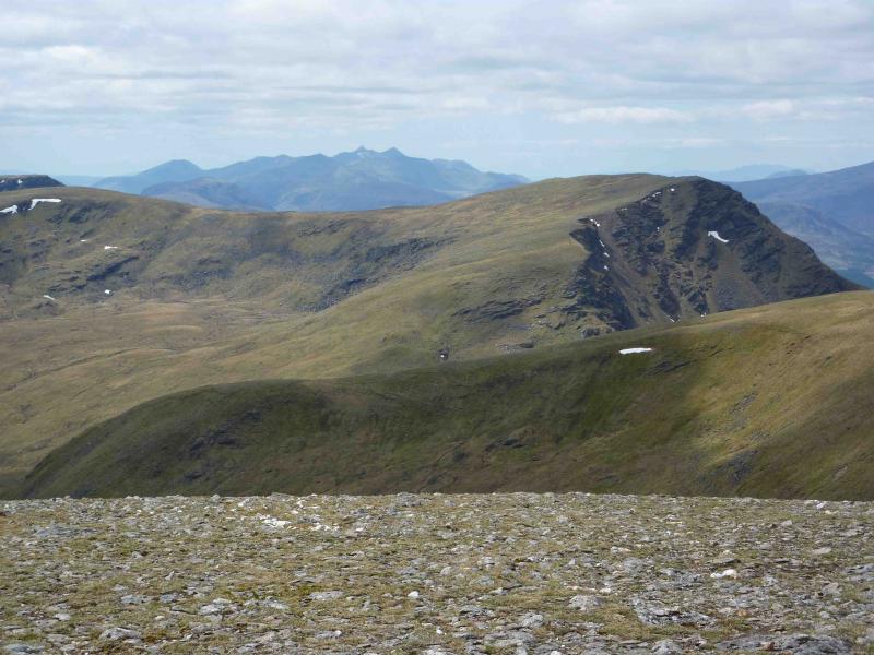
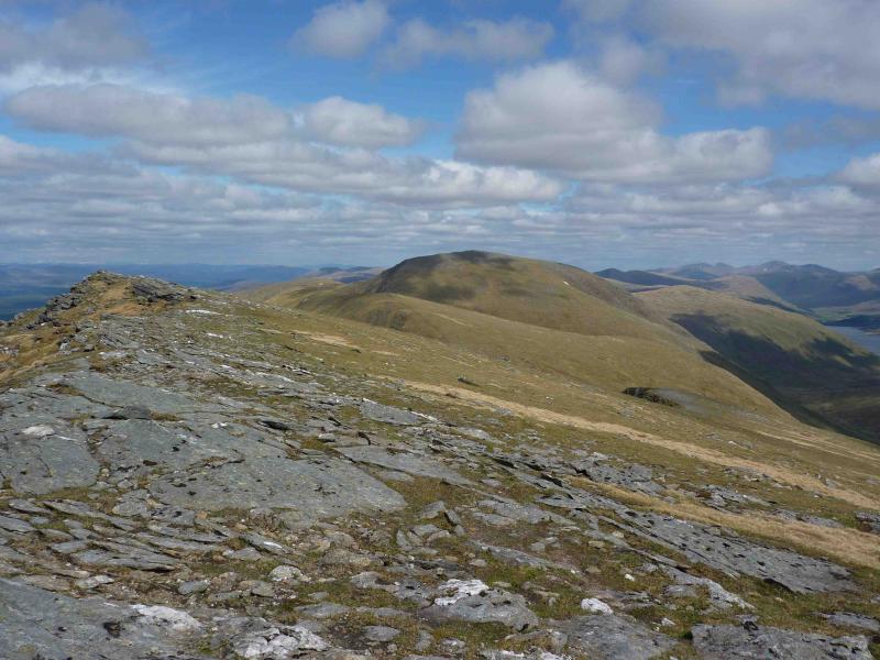
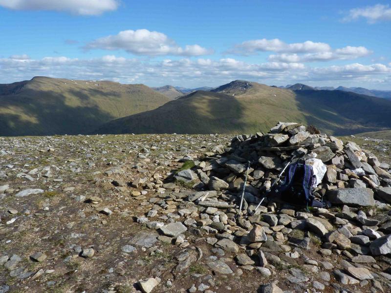
(2) Follow the almost level path on the summit ridge N then descend W above the craggy N face into a shallow grassy bealach. Ascend W onto a plateau and turn SW to reach the small summit cairn of Meall Buidhe, 978 m.
(3) Descend SW to a deeper grassy bealach, still on a good path, then ascend steep grassy/rocky slopes, roughly W, on a good path. When the path forks, about halfway up, take the right fork for a short rock step scramble or the left fork to avoid any scramble. Reach the start of an undulating grassy plateau and the small summit cairn of Beinn Achalladair, 1038 m.
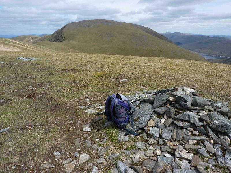
(4) Continue SW then S to a wide grassy bealach then ascend SSE to a small cairn on the South Topof Beinn Achalladair, 1002 m.
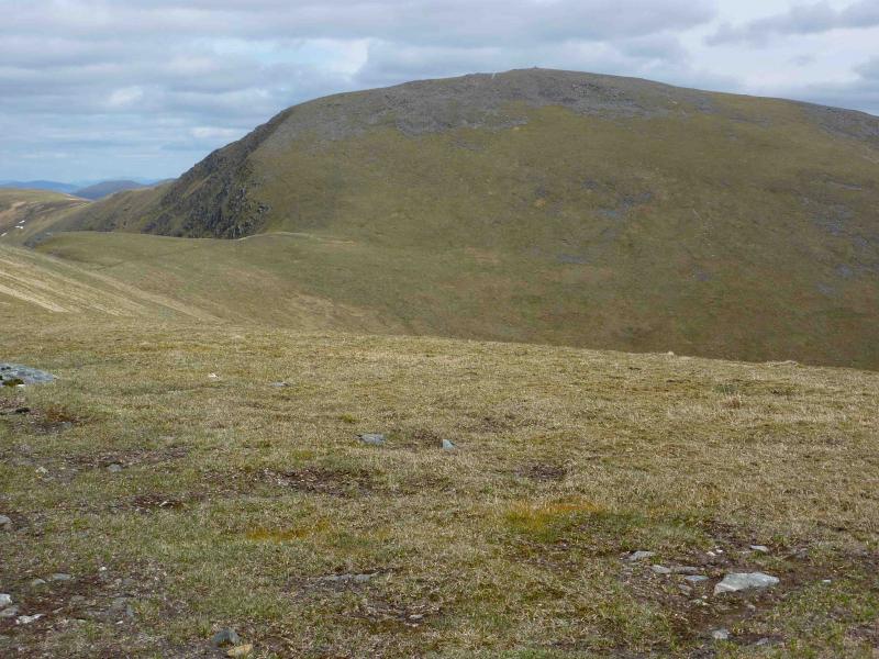
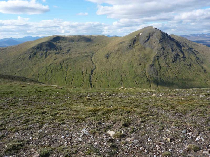
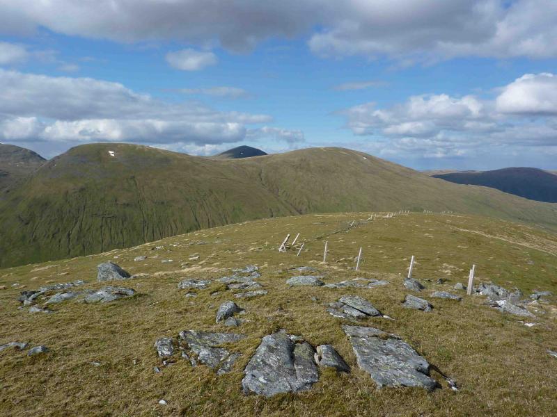
(5) Descend ESE on an obvious grassy ridge which is initially gentle then becomes steeper. The only crag is about halfway down on the left and is easily avoided. After this, the ridge is less well defined. Aim for the bealach at NN 354 417. In clear weather, this is easily spotted as it is a sizeable area of flat boggy peat, often holding a lochan, with a fence running through it. From the bealach, follow the fence uphill to the first corner where a path diverges on the right. Follow the path until it becomes faint then head straight up the steep, mainly grassy slopes, to reach the summit plateau and medium cairm of Beinn a’ Chuirn, 923 m.
(6) Descend ENE on a faint path to a grassy bealach to meet the same fence with a gap in it which used to hold a gate. Continue on an obvious path to ascend E to the medium summit cairn of Beinn Mhanach, 953 m.
(7) Descend the E ridge on easy grassy slopes to a flat area at about NN 384 412 then turn NE and follow the burn down to the river feeding Loch Lyon and meet the Loch Lyon track. Walk the short distance back to the bicycle then cycle back to Pubil remembering there is a steep climb before the final descent.
Notes
(a) This walk took place on 25th May, 2010.
Photos - Hover over photo for caption. Click on to enlarge. Click on again to reduce.