Get Lost Mountaineering
You are here: Scotland » 01 South of Oban to Stirling and Fife » Arrochar Alps
Ben Vorlich via Little Hills from Stuckendroin near Ardlui
Ben Vorlich via Little Hills from Stuckendroin near Ardlui
Start/Finish
Stuckendroin on the A82 about ½ mile south of Ardlui. There is plenty of verge parking opposite a wood just to the north of Stuckendroin which is mainly a collection of white buildings. The A82 is the road alongside Loch Lomond from Crianlarich to Glasgow. Unfortunately, Stuckendroin is not named on the A82.
Distance/Time
9 km About 6 - 7 hours.
Peaks
Little Hills, 808 m, NN 303 124..
Ben Vorlich, 943 m, NN 295 124.
Ben Vorlich N Top, 931 m, NN 294 130. OS Sheet 50 or 56.
Introduction
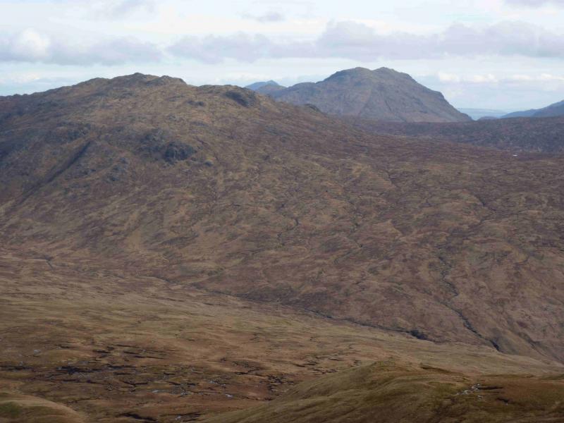
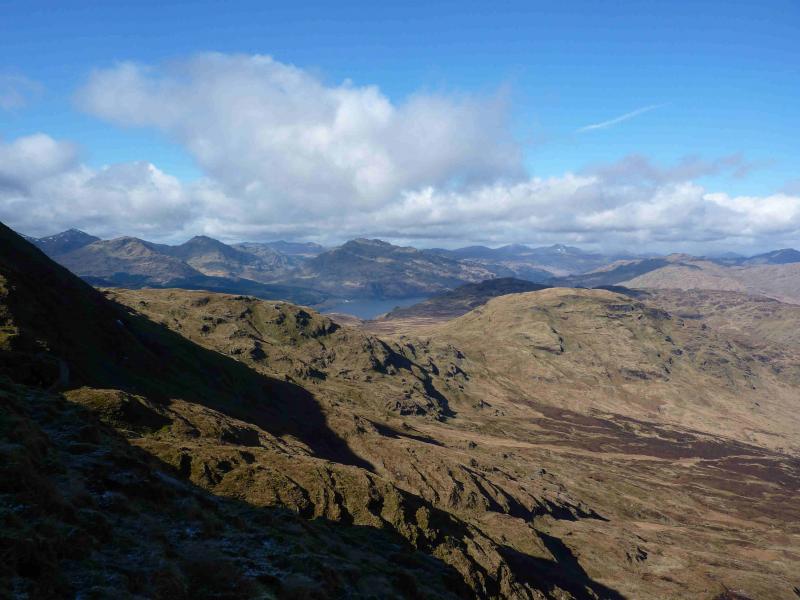
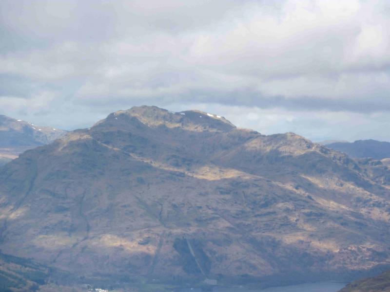
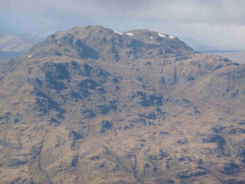
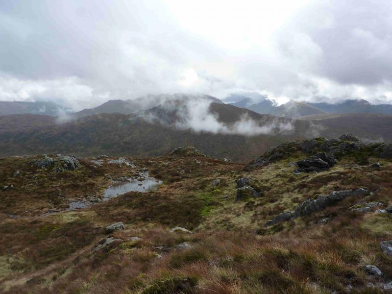
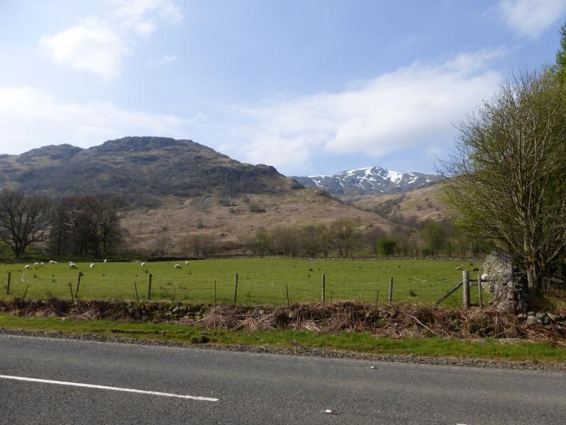
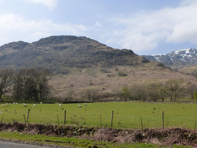
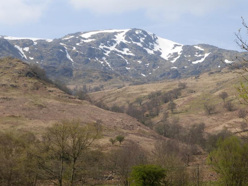
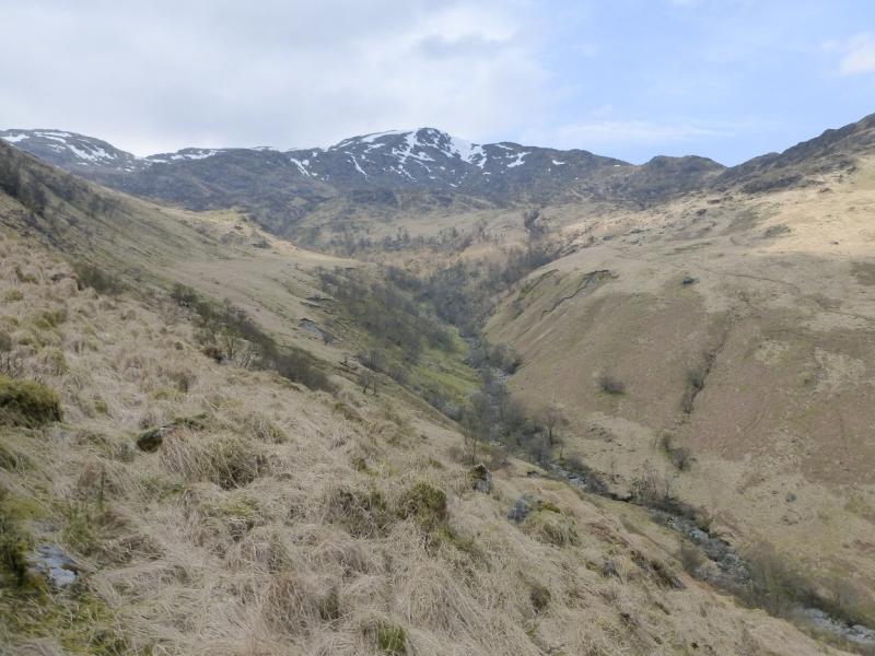
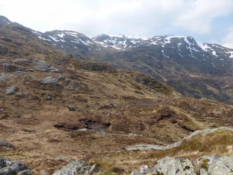
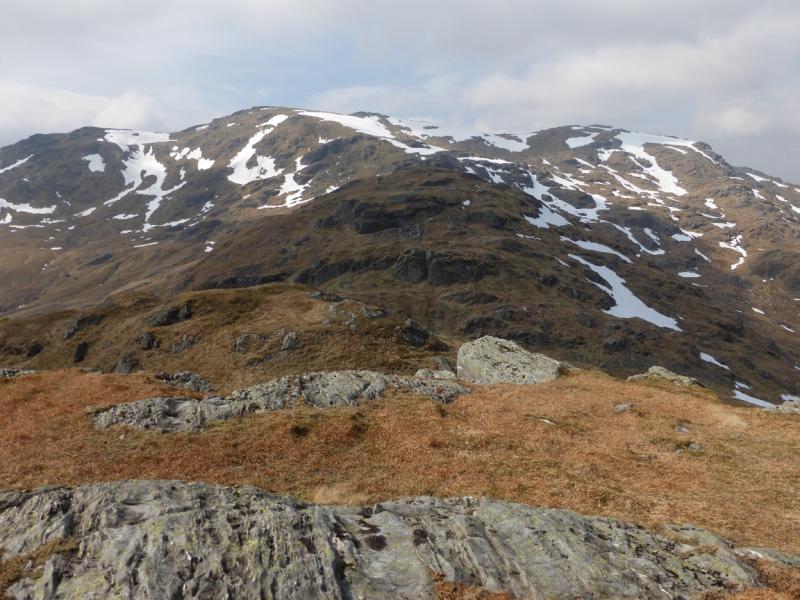
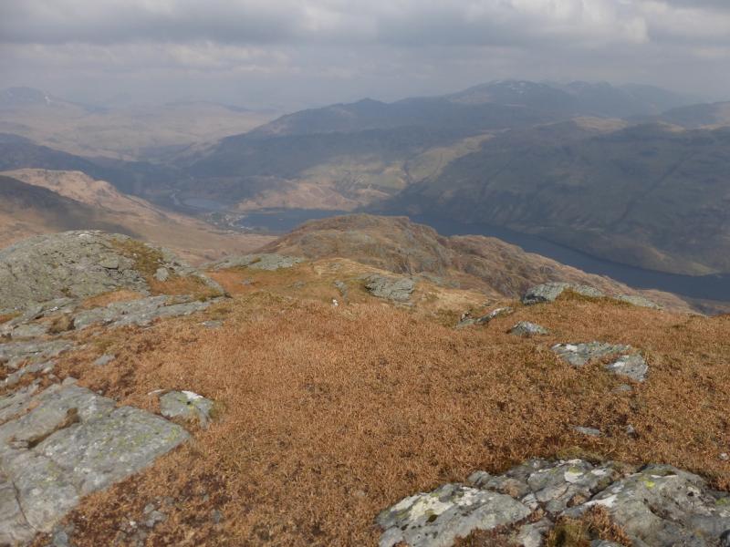
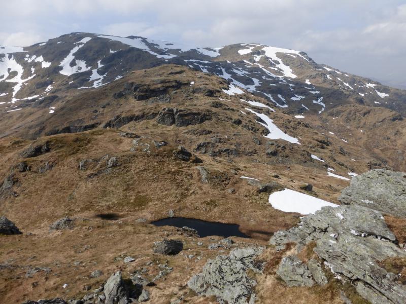
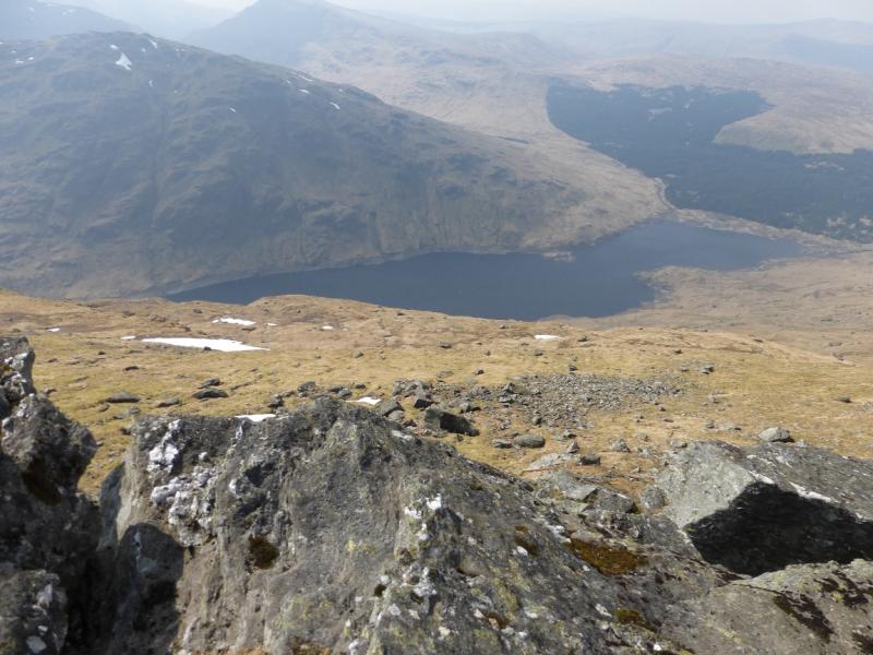
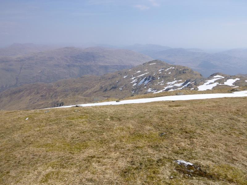
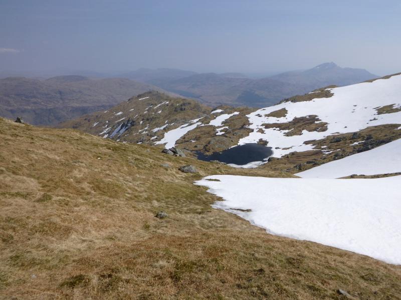
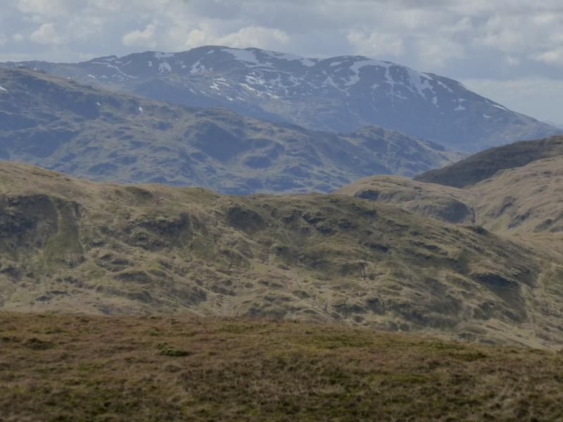
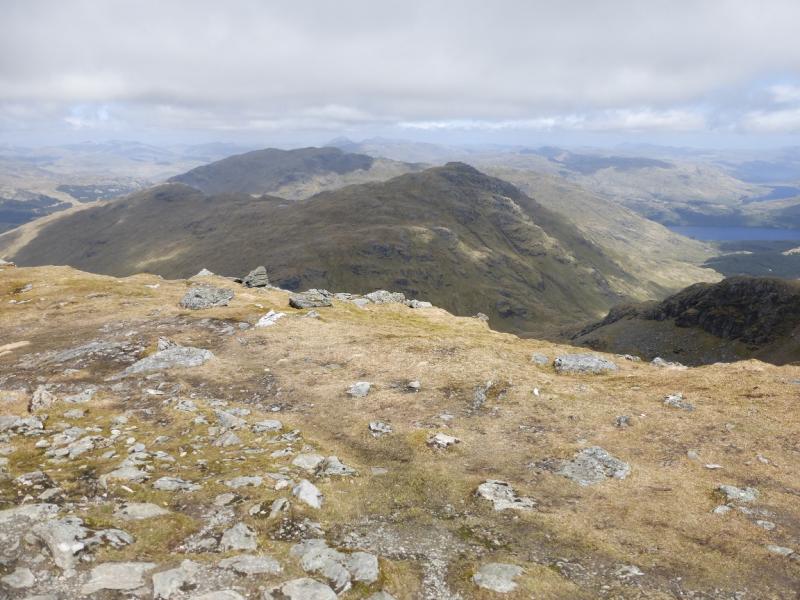
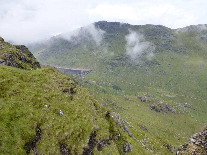
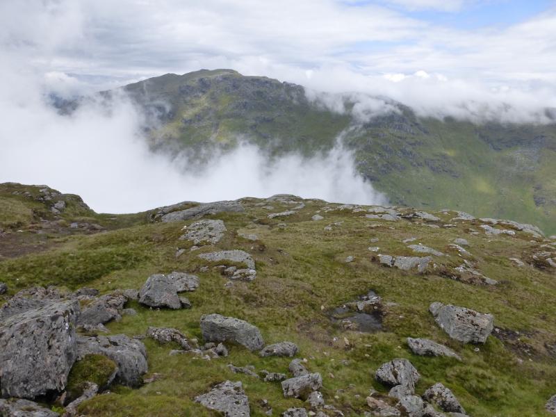
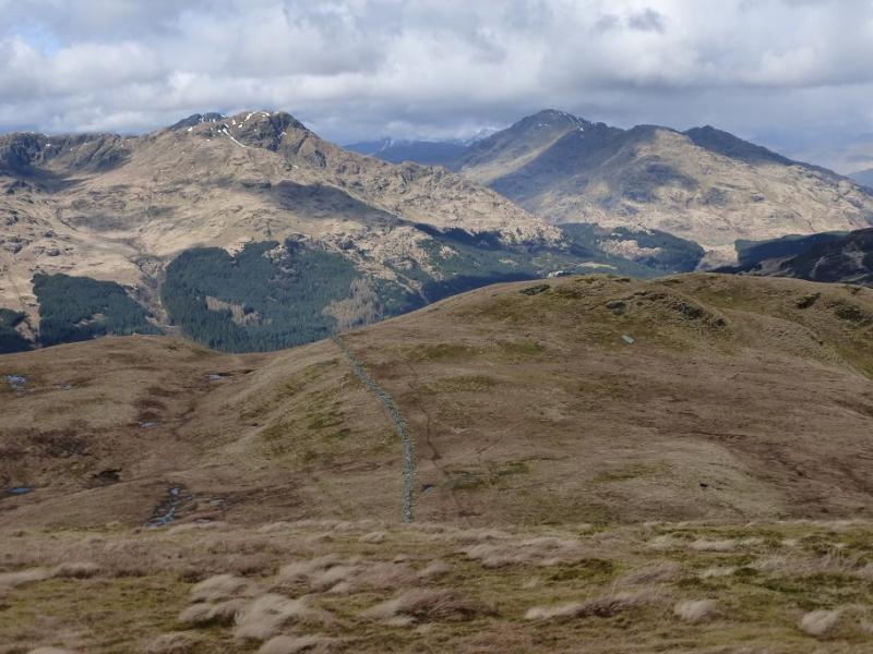
The Little Hills ridge is widely regarded as the finest route up Ben Vorlich but it is mainly tough and pathless with much up and down. The ridge is not as well defined as it looks from below and navigation would be difficult in misty conditions. Ferns and long grass may be a problem on the lower slopes in Summer. The views, however, are spectacular on a clear day and include nearby peaks such as Ben Lui, Ben Vane and Beinn Ime as well as Loch Lomond. Save this walk for a clear day. The eastern slopes of Ben Vorlich can hold long snow slopes well into Spring so go well prepared. The descent path from the N Top goes through these snow fields. There is a short rocky step on the descent. It is only about a metre but, from above, looks more awkward than it actually is. The return involves crossing a track ford above Stuckendroin which is normally very easy but could be problematical in a wet spell.
Route
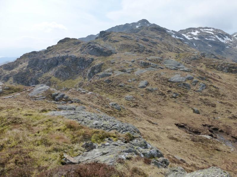
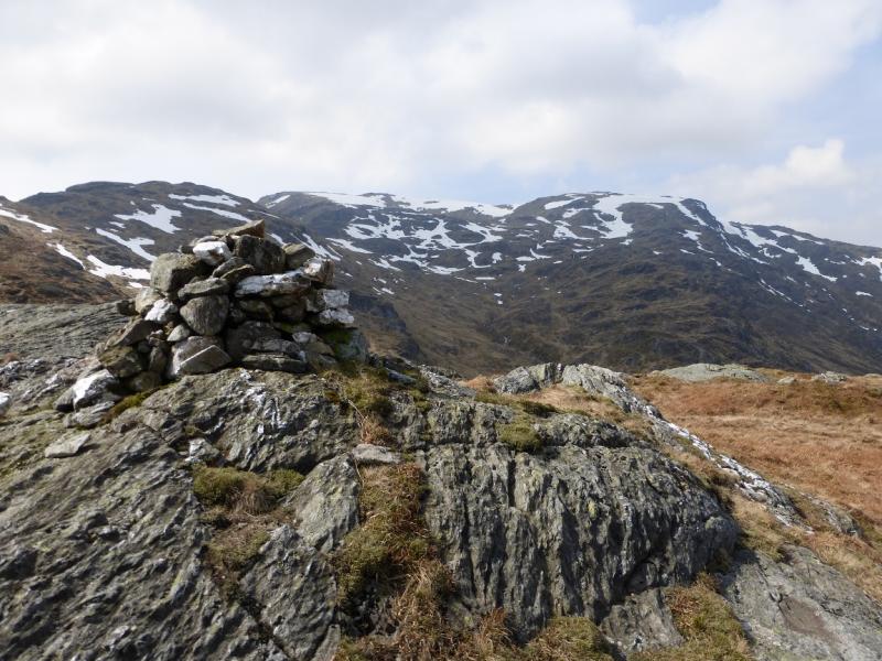
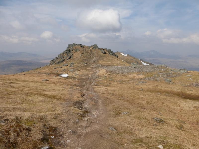
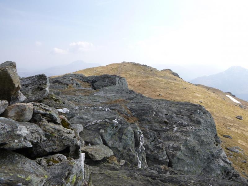
(1) Just into the entrance to Stuckendroin is a gate on the right which is signed for access to Ben Vorlich. Go through the gate and follow the grassy strip under the railway then head directly for the foot of the Little Hills ridge. The ground is a little rough but improves when the ridge is gained. Pick a way carefully up the ridge which is steep in places. Any rocky sections can easily be avoided. It is best to try and stay on the crest and not drift off to the left. There are many minor tops. Eventually reach the E Top of Little Hills which has a medium cairn. The main top towers above ahead to the W. Continue up to reach the medium cairn which marks the summit of Little Hills, 808 m.
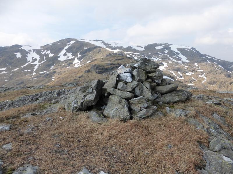
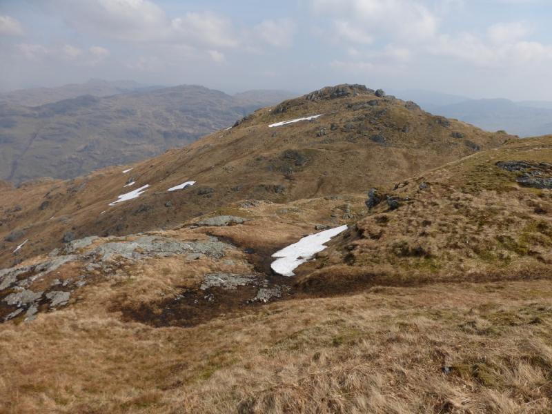
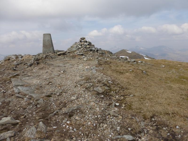
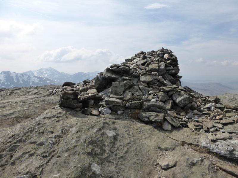
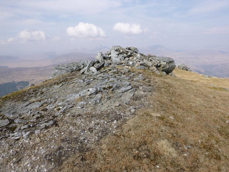
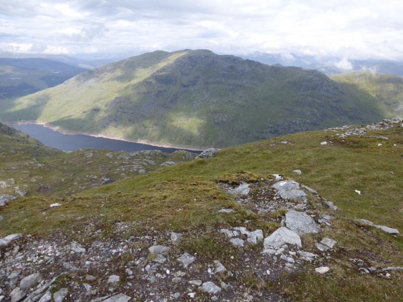
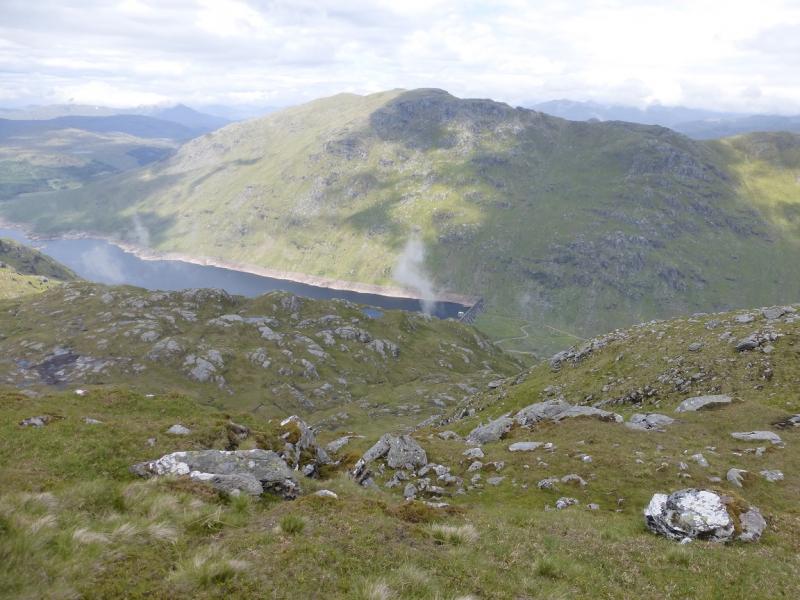
(2) Ben Vorlich is about 1 km due W but the ground is not straight forward. There is a shallow dip then a minor top followed by a deeper dip then a more prominent top – neither top has a cairn. Another deep dip leads to the foot of the final climb up Ben Vorlich and leads directly to the trig point and cairn but this is not the summit. Head N along the grassy crest, for about 200 m, past a small cairn to reach a large cairn, on the top of a crag overlooking Loch Sloy, which marks the summit of Ben Vorlich, 943 m.
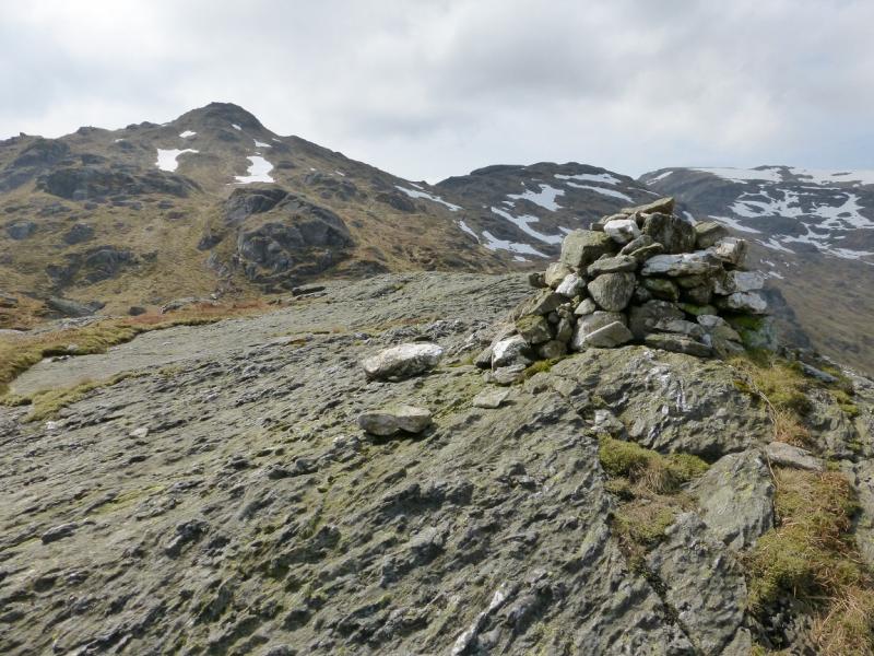
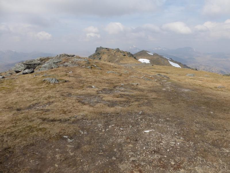
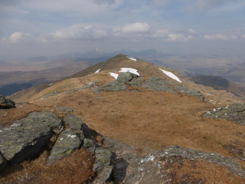
(3) Continue along the easy crest, crossing a dip before a short ascent leads to a medium cairn which marks the summit of Ben Vorlich N Top, 931 m.
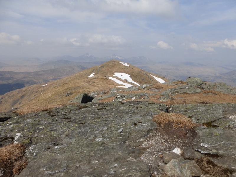
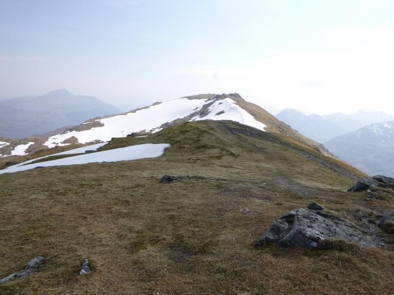
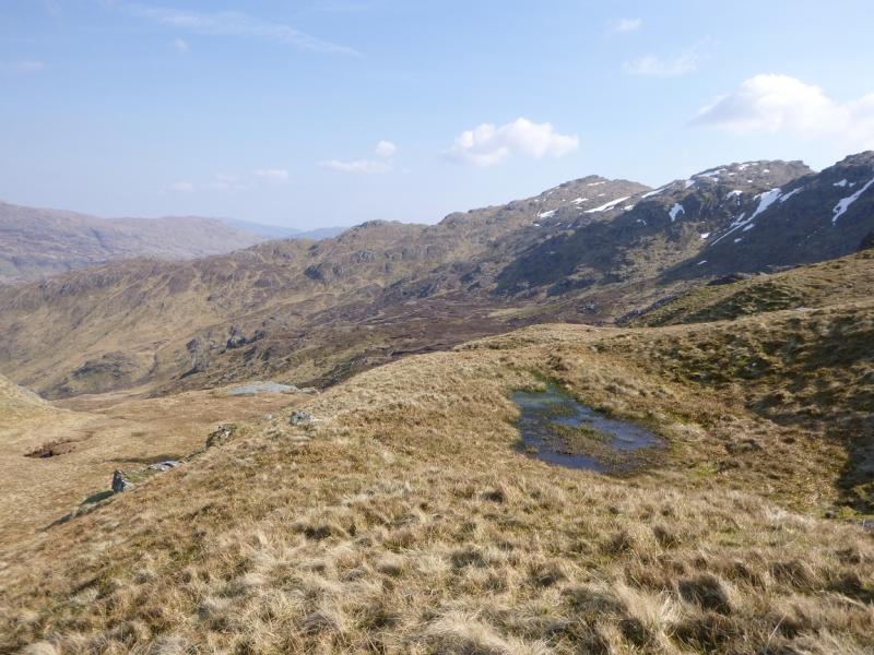
(4) If there is no snow on the ground then a path can be followed N then NE. If there is snow then follow the crest N for about 500 m before turning NE down the ridge which leads towards Stob nan Coinnich Bhacain. The path is faint in places but should be found once below the snow line. If not, try to hold the ridge line. Just above the bealach to Stob nan Coinnich Bhacain, the path goes left, to avoid steep ground ahead, and reaches the short rocky step mentioned above which is only about a metre but looks awkward from above. The easiest route is to go left where there is a crack/groove and descend there to the path below. It is probably easier to face the rock and “down climb” rather than shuffle down. Reach the grassy bealach then go right, on a faint path. Follow this down. It is a mixture of faint path, ATV track and no path in places but you are broadly heading to converge with the main stream in the corrie. You may see a small dam to your right. Keep going and you may reach another dam which has a path leading into and out of it. Cross the dam, climbing down the two short ladders and keep following the path. Further down, it joins a track which is stony, steep and unpleasant at first. Continue down, following any path which goes towards the main stream in the right. An old fence will soon be on your right. Reach another track lower down which crosses the main stream at an easy ford then can be followed back to Stuckendroin.
Notes
(a) This walk took place on 21st April, 2014. Ben Vorlich and its N top were also ascended from Ardlui on 17th April, 1995, and from the Sloy Power Station, on the A82, on 4th May, 1998. The Little Hills route is the finest approach of the three.
Photos - Hover over photo for caption. Click on to enlarge. Click on again to reduce.