Get Lost Mountaineering
You are here: Scotland » 01 South of Oban to Stirling and Fife » Ben Lui Range to Crianlarich
Meall an Fhudair & Beinn Damhain via Troisgeach & Meall nan Caora from Glen Falloch
Meall an Fhudair & Beinn Damhain via Troisgeach & Meall nan Caora from Glen Falloch
Start/Finish
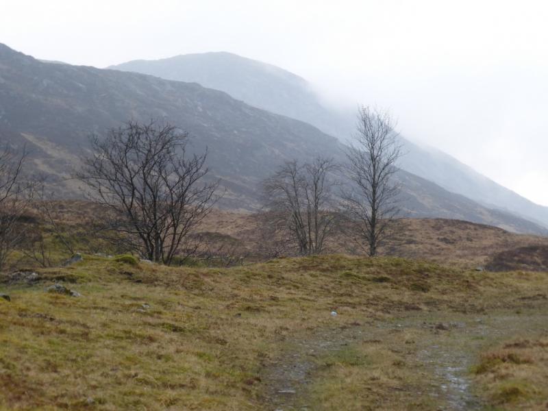
The gate (usually locked) at the start of the hydro track in Glen Falloch. This is at NN 319 197. The track is on the S side of the bridge over the Allt nan Caorainn. The entrance to the Beinglas campsite is about 1 km S of the gate. Note that there is also a track on the N side of the Allt nan Caorainn.
Distance/Time
13 km About 7 hours.
Peaks
Troisgeach, 733 m, NN 290 194.
Meall nan Caora, 721 m, NN 284 198.
Meall an Fhudair, 764 m, NN 270 192.
Beinn Damhain, 684 m, NN 282 173. OS Sheet 50.
Introduction
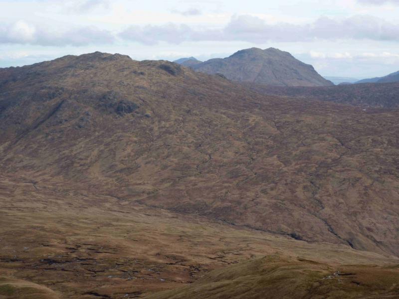
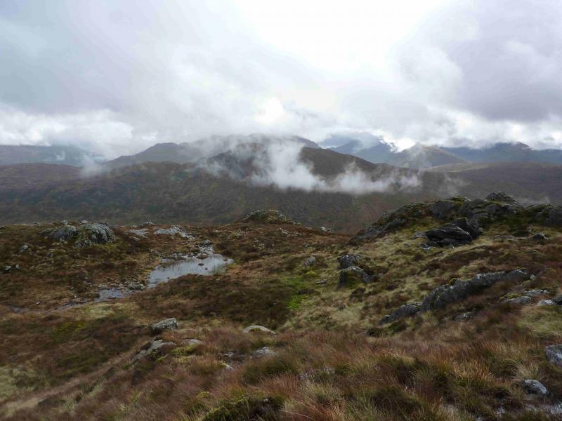
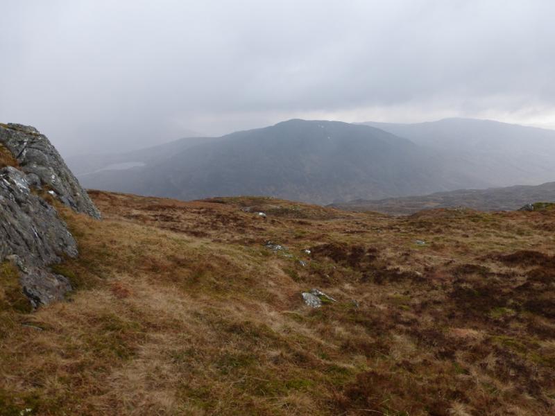
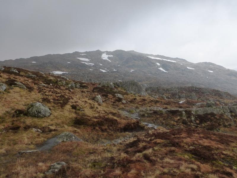
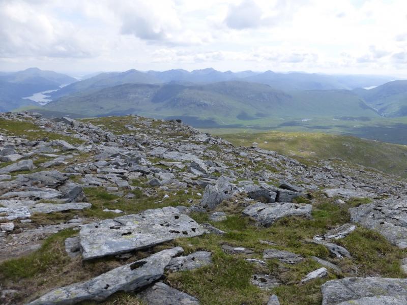
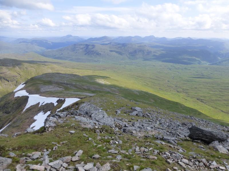
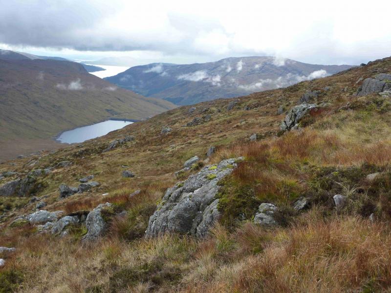
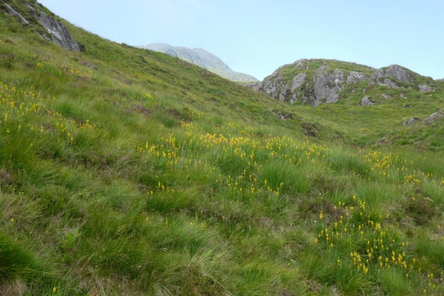
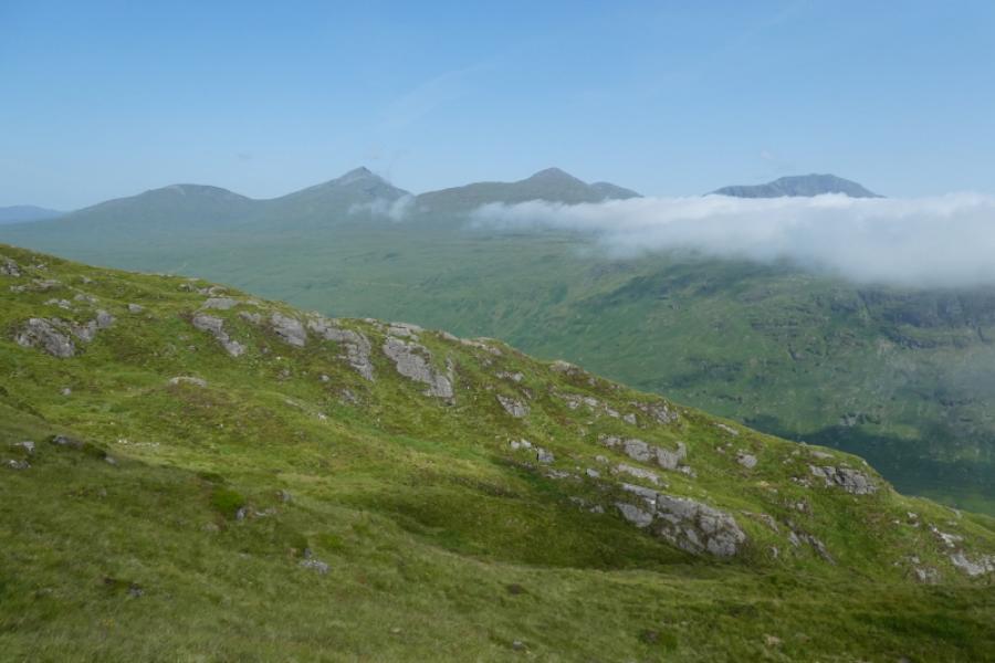
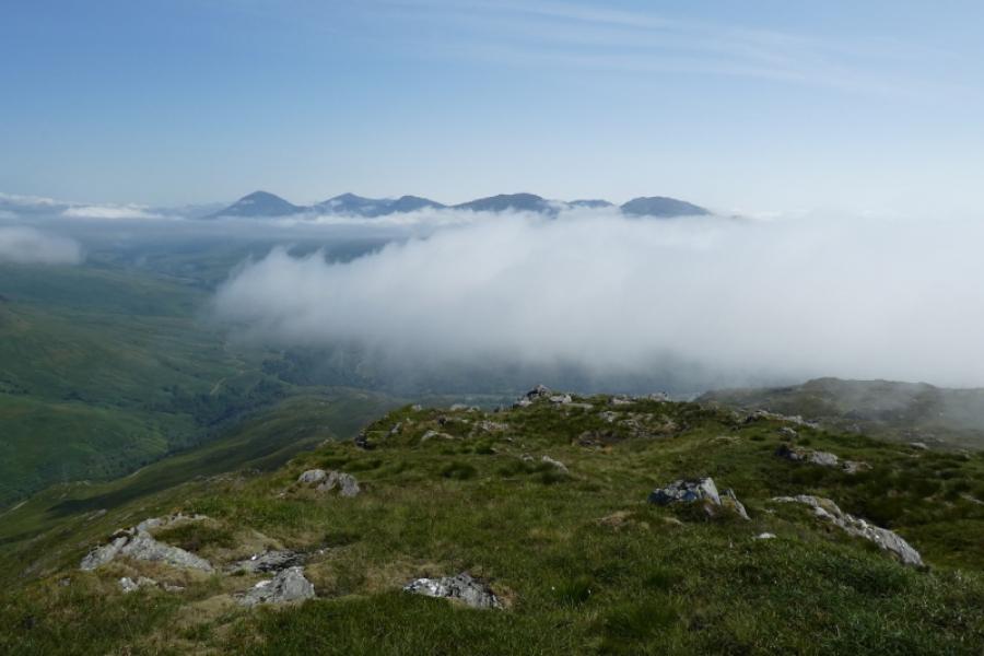
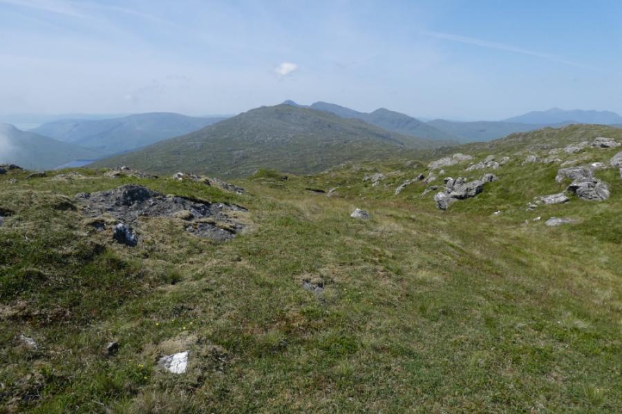
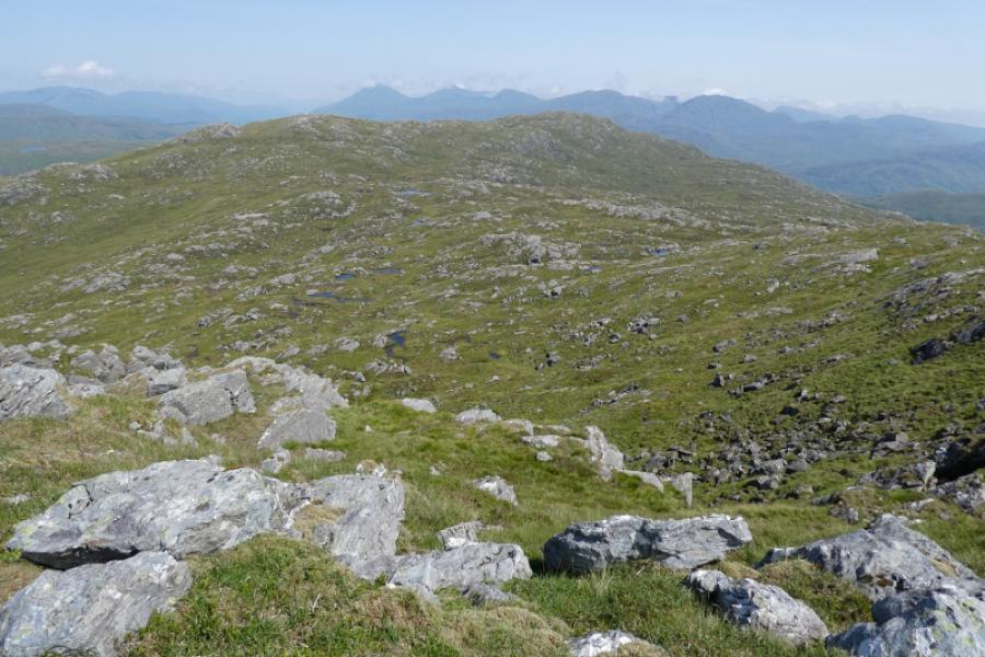
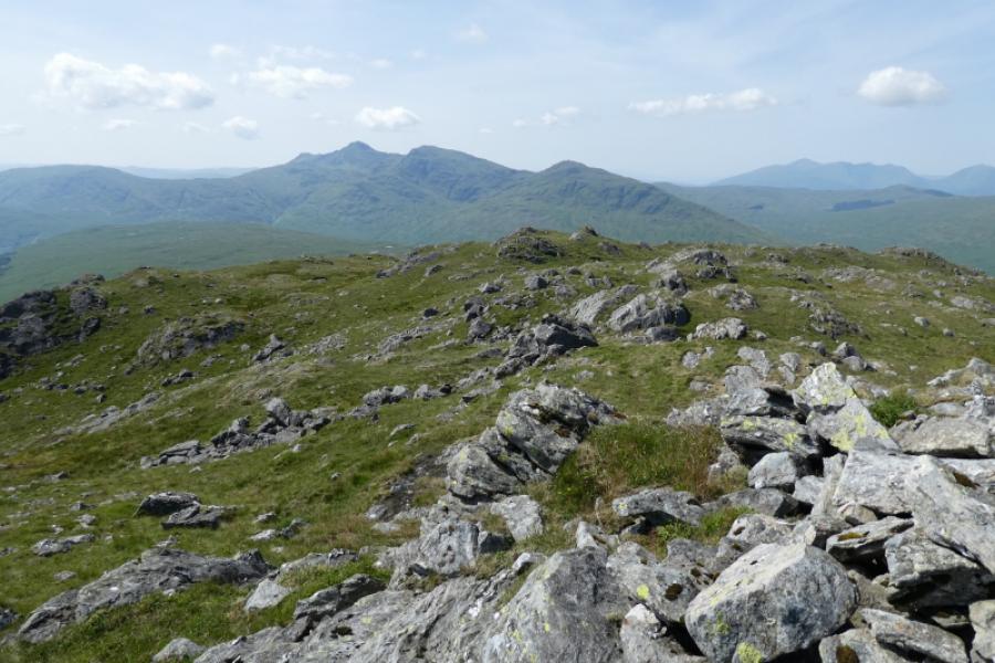
On a clear day, this is a lovely walk with magnificent views in all directions which include the Ben Lui range, Beinn Bhuidhe, Ben Vorlich (Ardlui), Ben Lomond, the Crianlarich hills and beyond. Apart from the access track, much of the route is on faint and intermittent paths although the ground is generally good to walk on. On a misty day, navigation needs care as the ground can be confusing.
Route
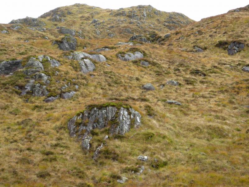
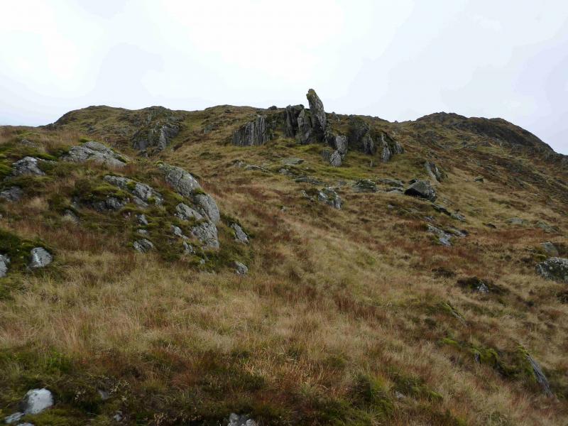
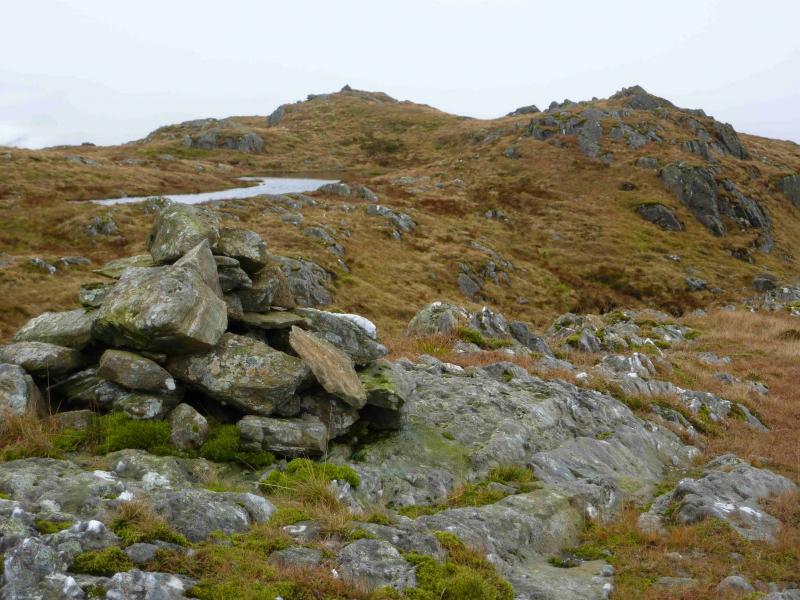
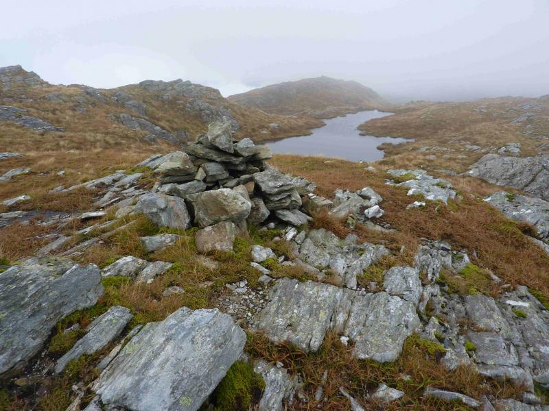
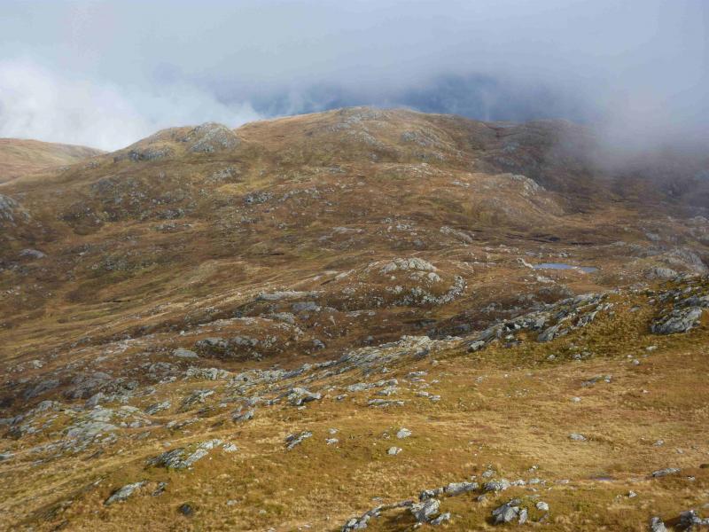
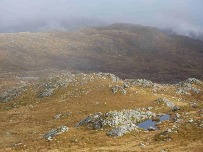
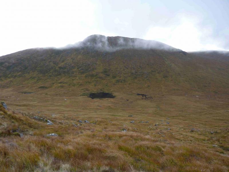
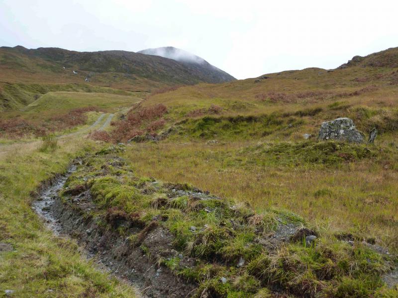
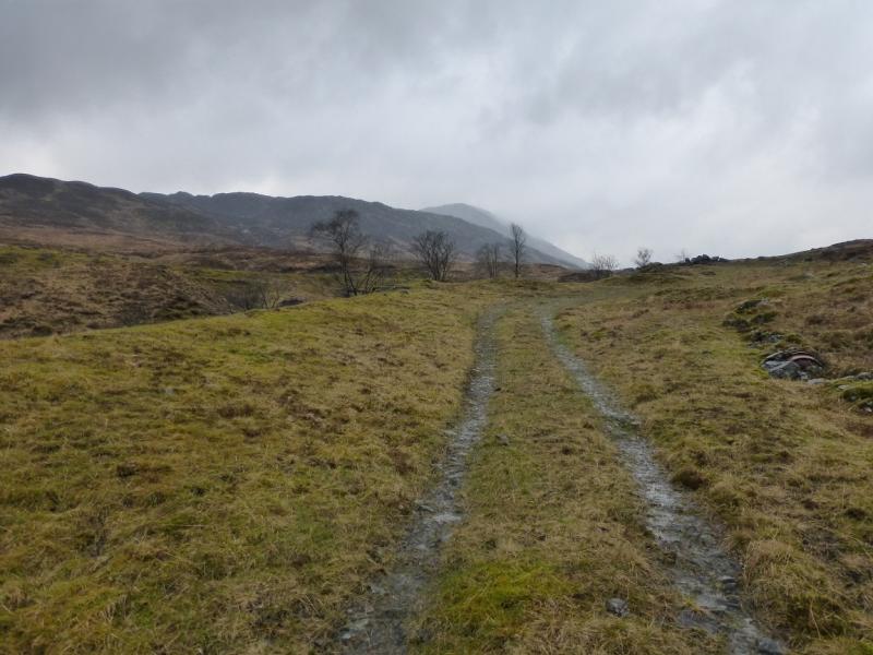
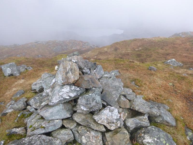
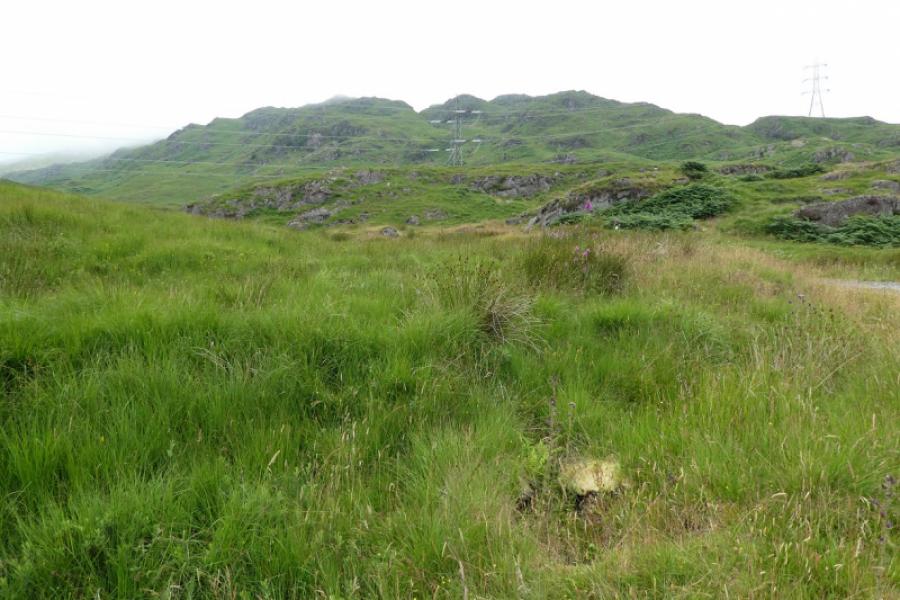
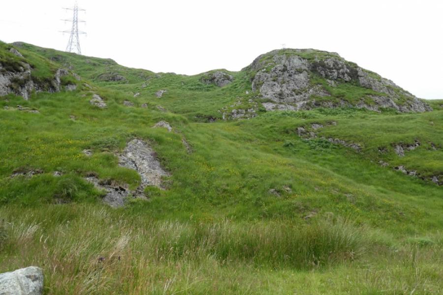
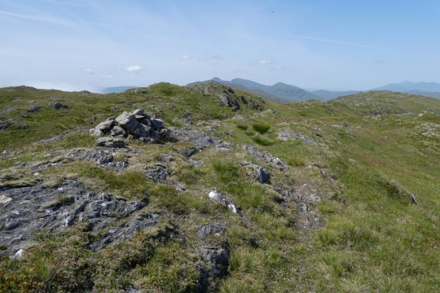
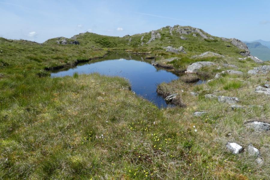
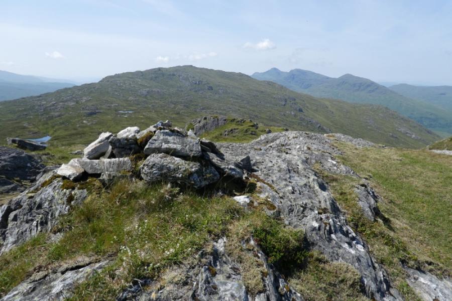
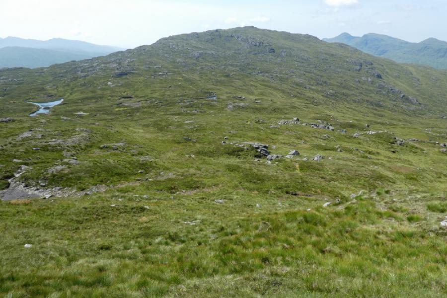
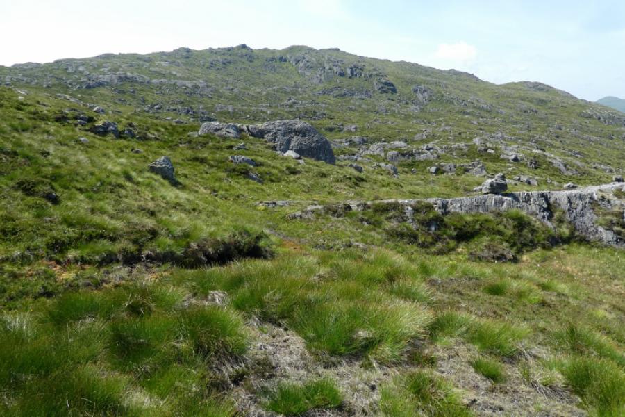
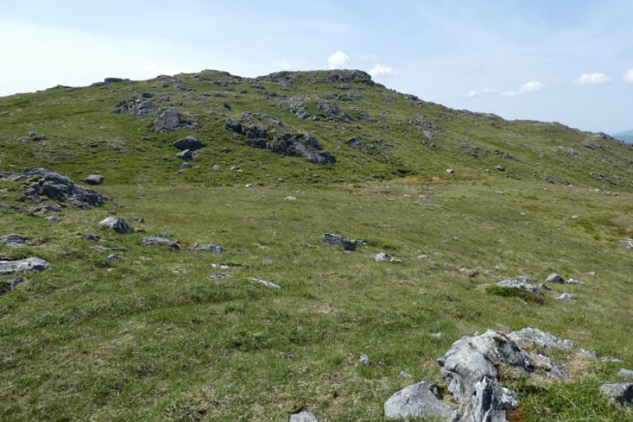
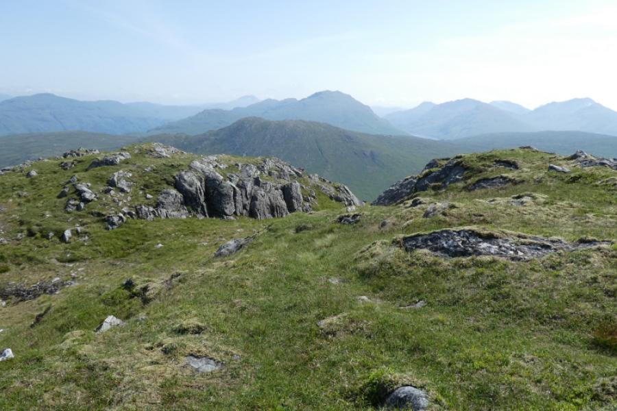
(1) Walk up the zig zag track, crossing the railway and passing a telecommunications mast to reach a T junction. Turn right and very soon after, leave the track at the first shallow grassy gully on the left. This is before the little crag above the track on the right. Ascend the ridge on the left side of this gully. A pylon stand on the right side ridge. Follow this undulating ridge up to join the E ridge. Alternatively, the E ridge may be gained from the corner where the track turns W into Gleann nan Caorann. Higher up, there is more than a hint of a path, both along the crest and just below on the left, S. Eventually, the gradient eases and the ridge reaches a small cairn which is the E top of Meall an Fhudair. By now, there is a parallel ridge to the S with a shallow grassy trough in between. The parallel ridge has a small narrow lochan on it with another lochan higher up. From the E top cairn, the summit cairn should be visible just beyond the higher lochan and about 100 m away. Cross the grassy trough to reach the medium cairn which marks the summit of Troisgeach, 733 m.
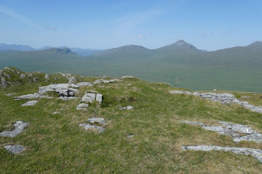
(2) Descend NW crossing gentle ground. Any lochans are best passed to their right. There is hardly a rise to the small cairn which marks the summit of Meall nan Caora, 721 m.
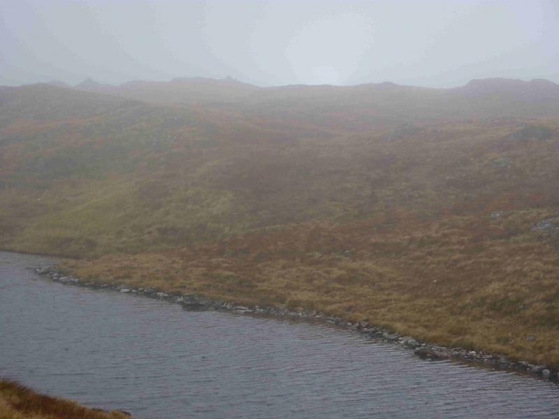
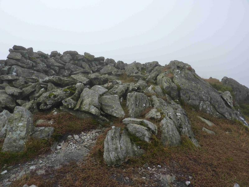
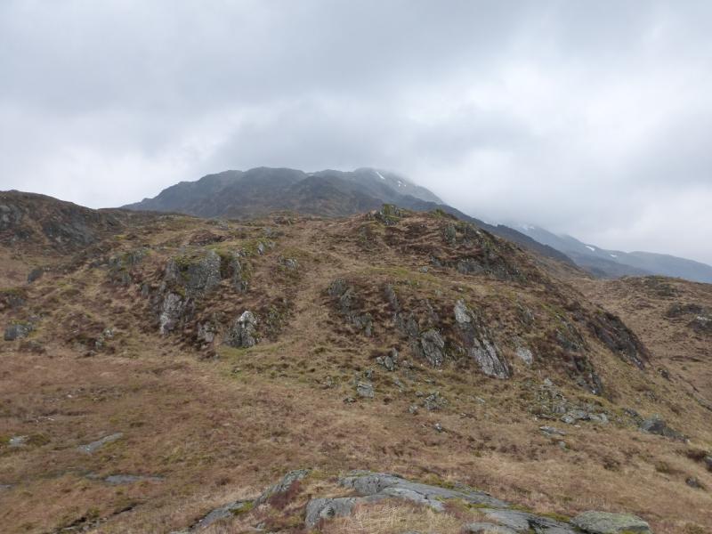
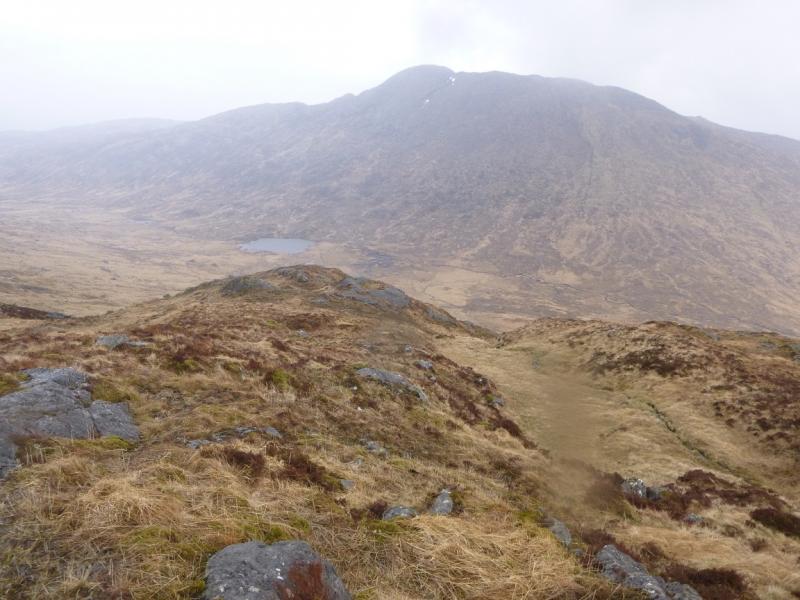
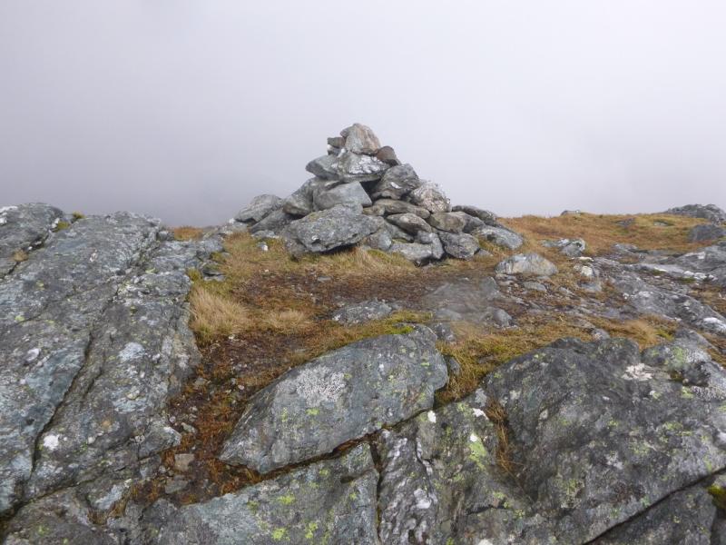
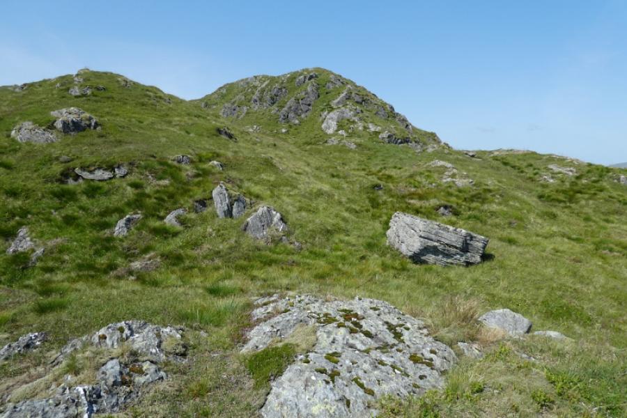
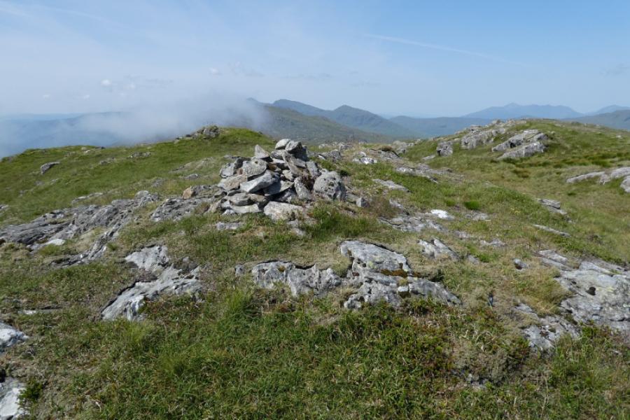
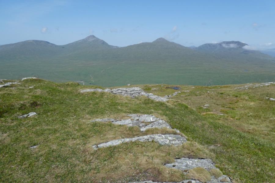
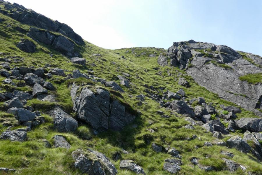
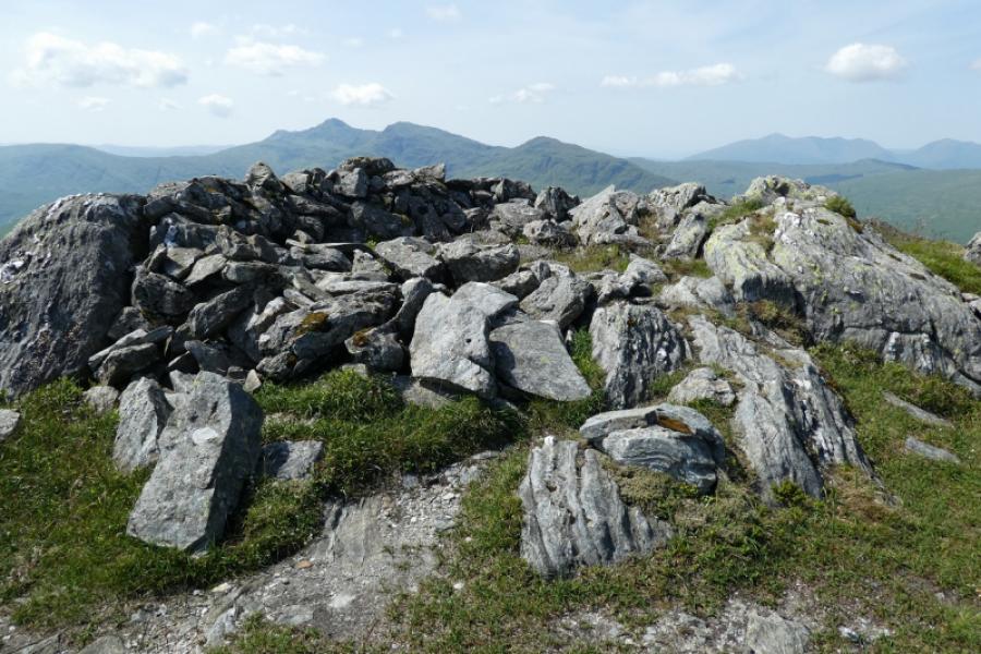
(3) The continuation, SW, to Meall an Fhudair is obvious in clear weather but in mist the ground is quite complex with many lochans and little ridges. There is a hint of a path in places although one can pick a route easily through the terrain. There are several tops which may be confusing in mist but the actual summit is more like a short wall rather than a cairn and this is Meall an Fhudair, 764 m.
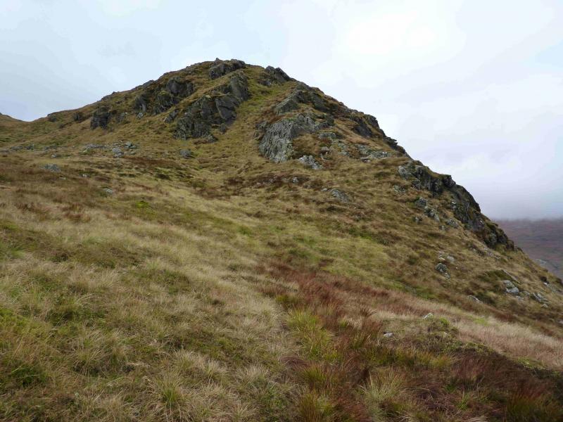
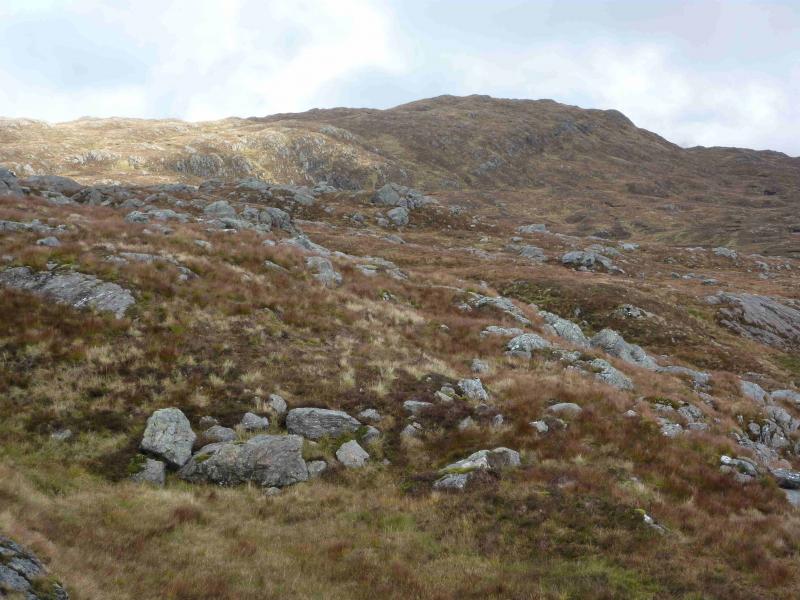
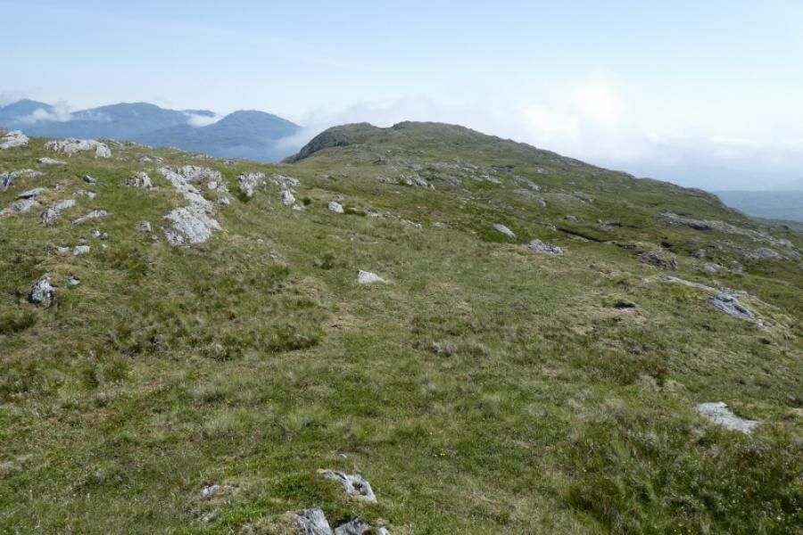
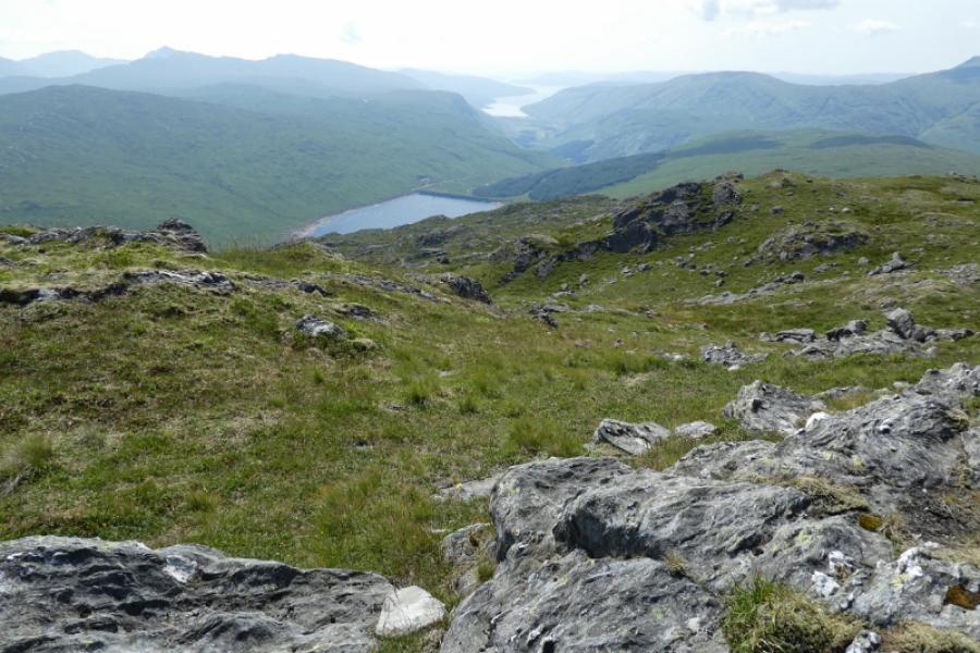
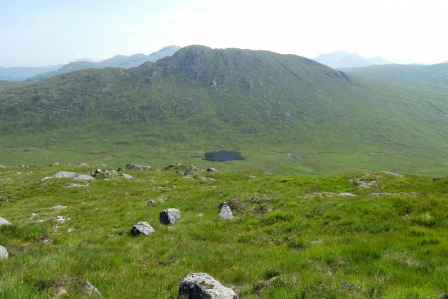
(4) In clear weather, the continuation to Beinn Damhain is very obvious. Initially, head SW until one can see a broad grassy line heading towards Beinn Damhain, roughly SE. This is not a path but the descent is fairly easy with no crags to avoid. When the Allt na Lairige is reached, which flows out of the lochan almost due N of Beinn Damhain, cross it easily and pick a way up the moderately steep grassy slopes. These are not as steep as they looked when viewed head on during the descent of Meall an Fhudair. When the crest is reached, go E to the medium cairn which marks the summit of Beinn Damhain, 684 m. There are a few other minor tops but none seem to have cairns.
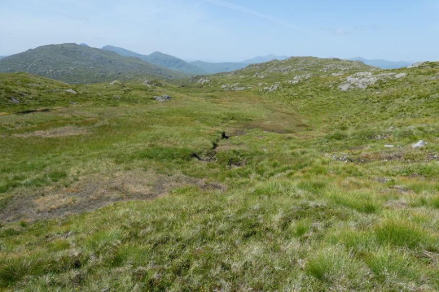
(5) Descend the long ridge going first just N of E then NE heading for the Lairig Arnan. Cross the main burn and continue on the N bank until the W branch of the outward hydro track is reached. Follow this back to the T junction, turning right to descend to the start.
Notes
(a) This walk took place on 19th February, 2006, and 23rd April, 2014. Meall an Fhudair, only, was revisited on 22nd July, 2021, when extra photos were added.
(b) It may be worthwhile (not checked out) to visit Lochan Beinn Damhain then follow its outflow down to the Lairig Arnan.
Photos - Hover over photo for caption. Click on to enlarge. Click on again to reduce.