Get Lost Mountaineering
You are here: Scotland » 02 River Tay to Rannoch Moor » Bridge of Orchy & Tyndrum Hills
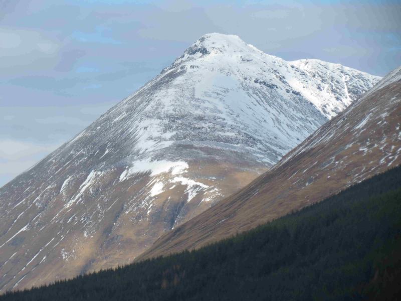
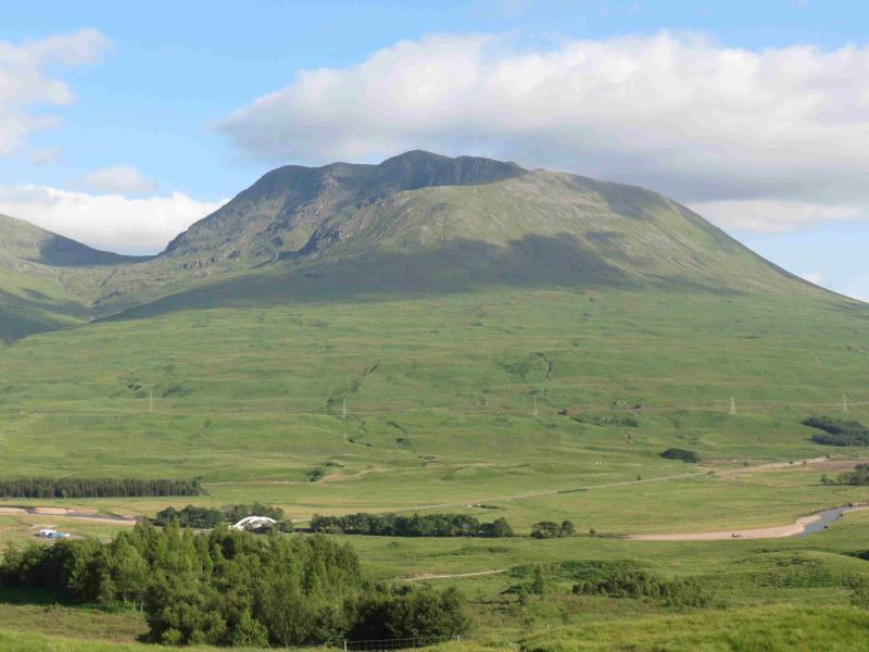
Beinn Dorain & Beinn an Dothaidh
Beinn Dorain & Beinn an Dothaidh from Bridge of Orchy Station
Start/Finish
Bridge of Orchy Station on the A82 between Crianlarich and Fort William. It is about 12 miles west of Crianlarich. There is limited parking.
Distance/Time
12 km. About 5 – 6 hours.
Peaks
Beinn Dorain, 1076 m, NN 325 378.
Beinn an Dothaidh, 1004 m, NN 331 408. OS Sheet 50.
Introduction
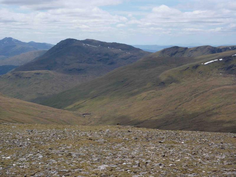
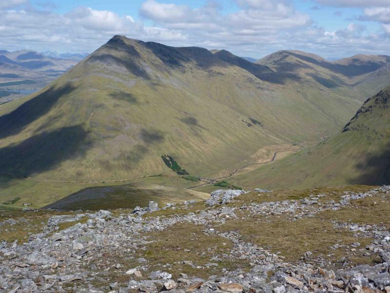
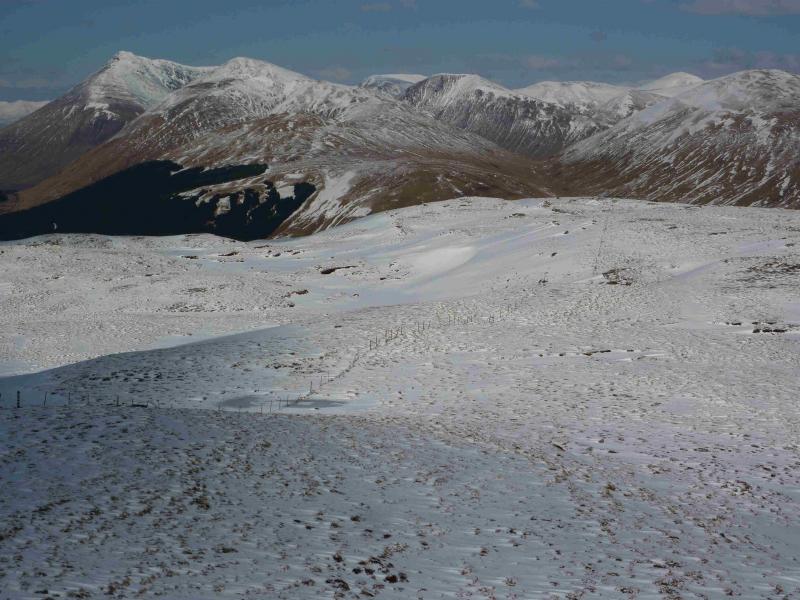
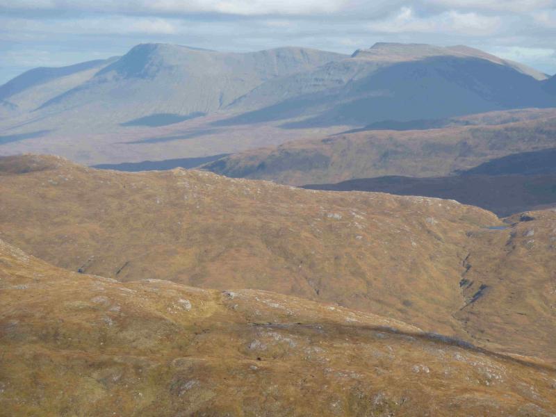
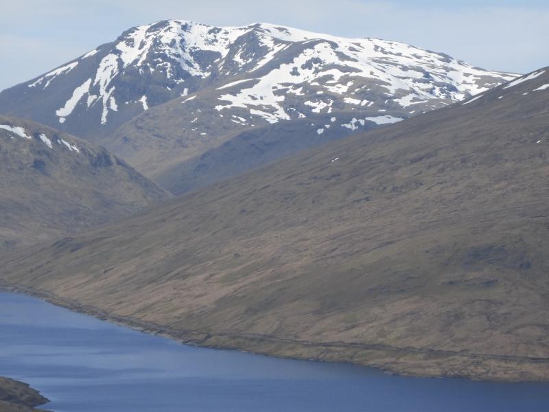
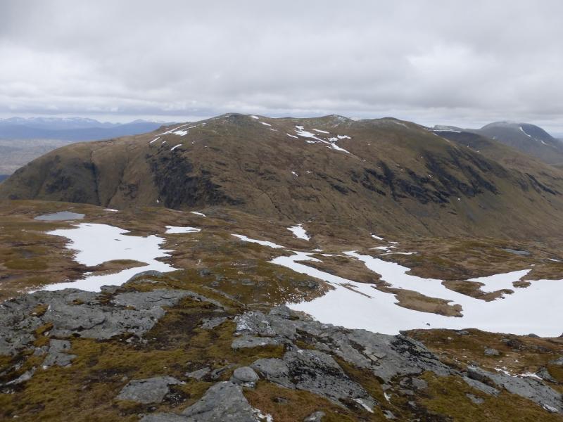
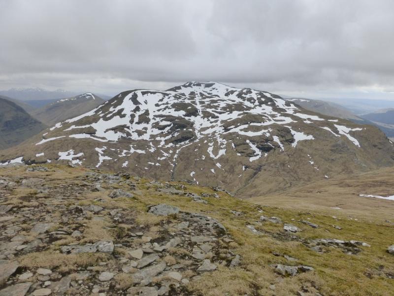
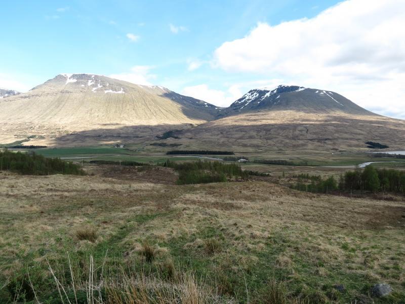
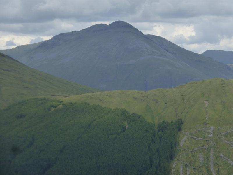
Beinn Dorain is the mountain which towers over the famous horseshoe loop on the West Highland Line. The distances are fairly short on this walk but the terrain is steep. Views are excellent in all directions and include the Black Mount, Crianlarich Hills, Ben Lui range, Glen Etive and Ben Cruachan, Ben Nevis range, Grey Corries, Glen Lyon hills and many more. Save this for a clear day and take your camera. The path up the corrie from the station is boggy in places so this route avoids it on the way down.
Route
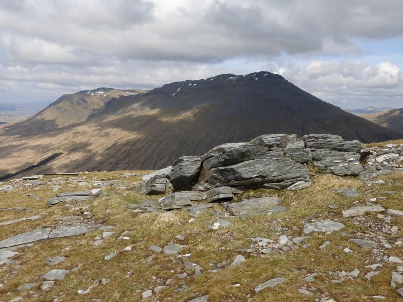
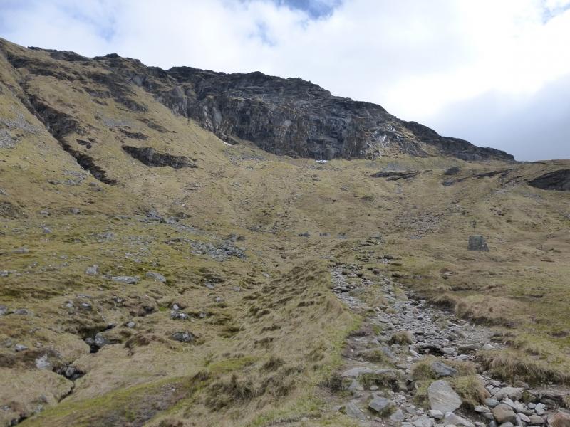
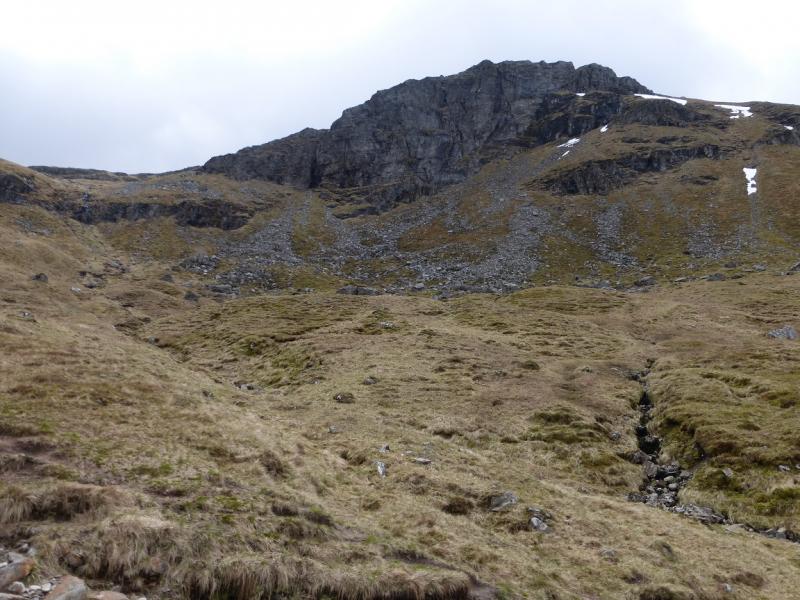
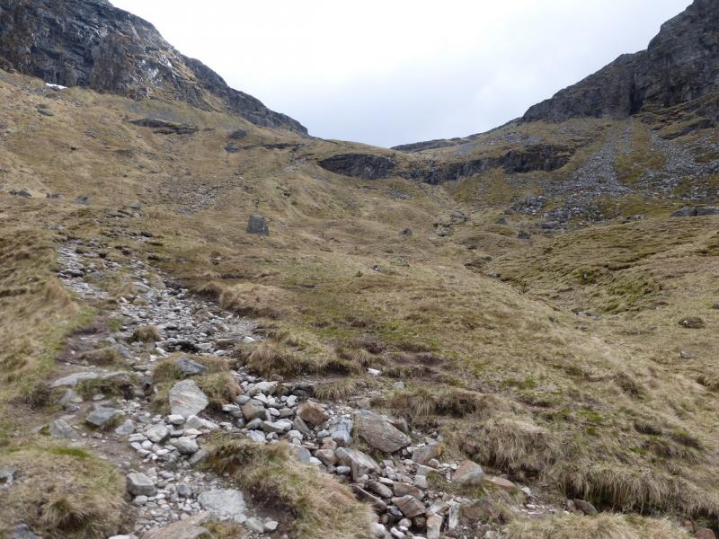
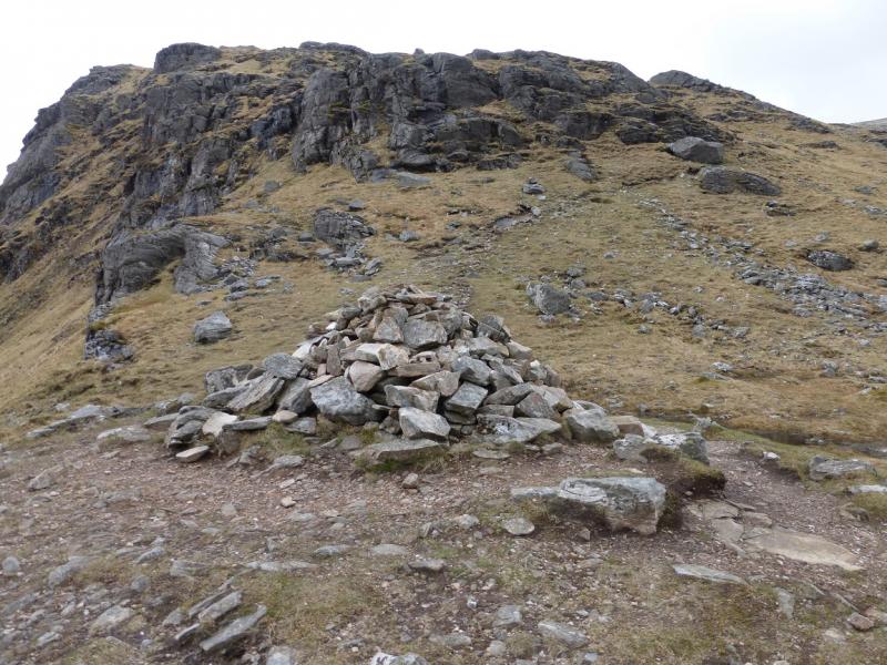
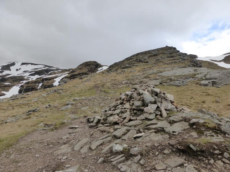
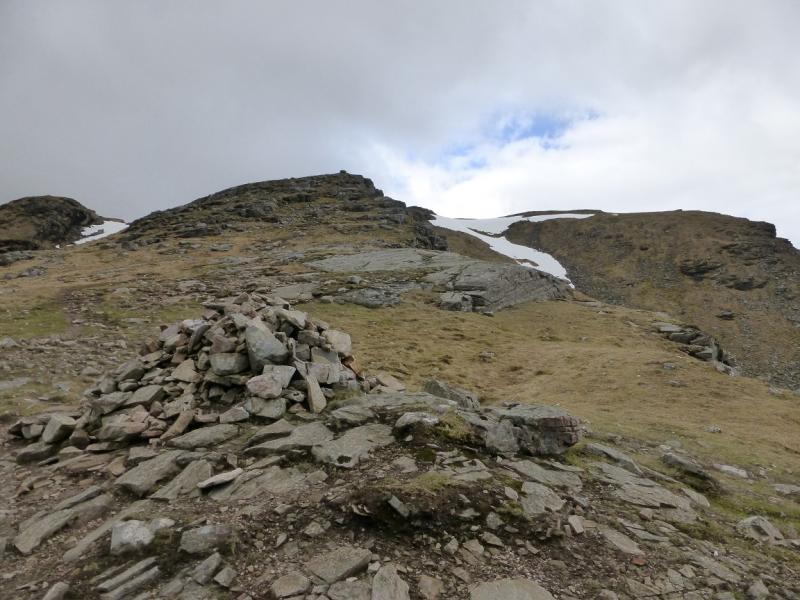
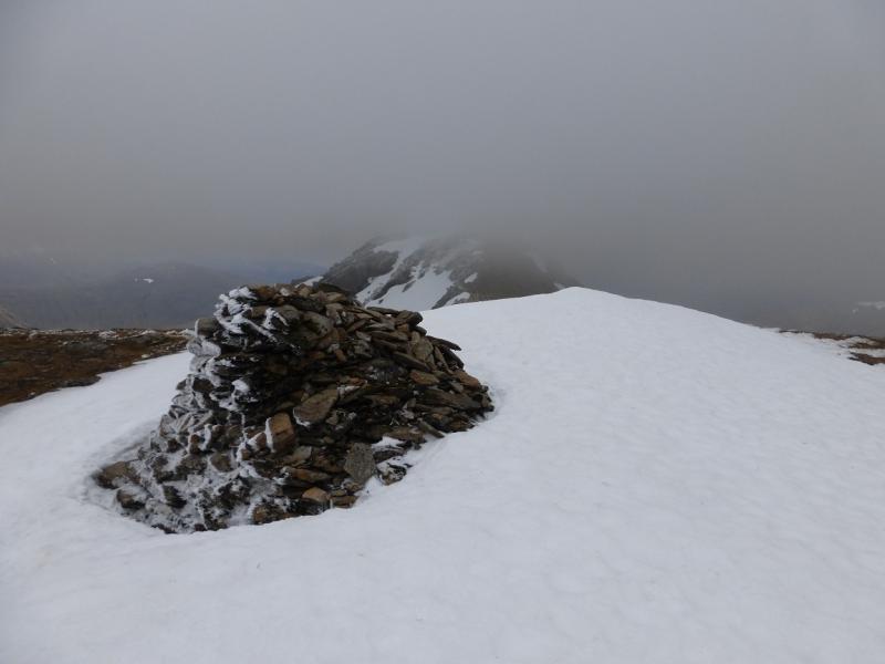
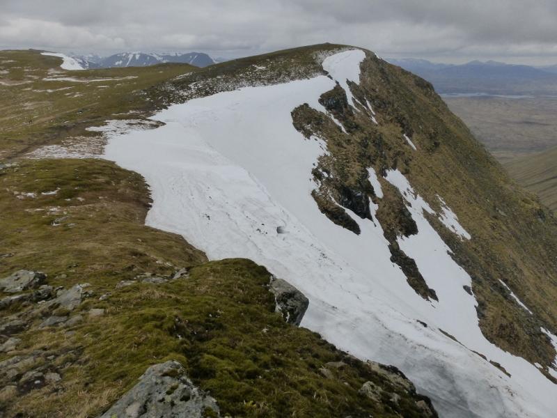
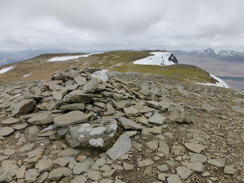
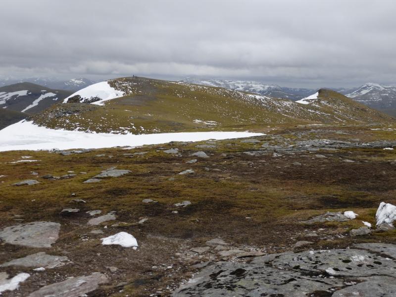
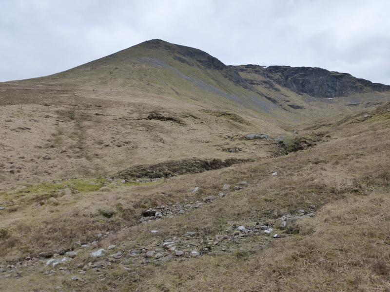
(1) Walk through the station underpass then turn left. The path up Coire an Dothaidh starts almost immediately on the right by a sign. Follow the path up through some quite boggy sections and also some rough stony ones. There is a fair sized cairn at the top of the corrie in the bealch between the two Munros. Turn right, S, and follow the path up a ridge. In places there is a choice of paths. Eventually, reach a large cairn with a smaller cairn to its right, W, and lower. This is not the summit so continue down a dip and up the other side where a medium cairn marks the true summit of Beinn Dorain, 1076 m.
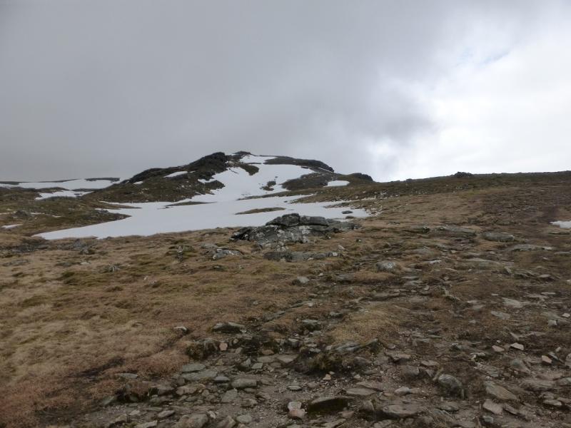
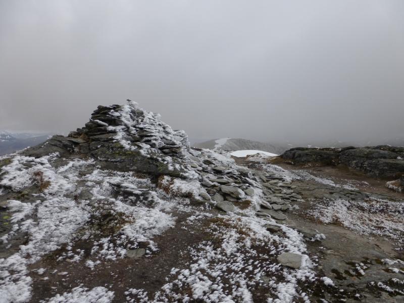
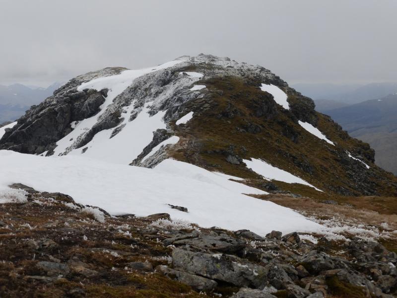
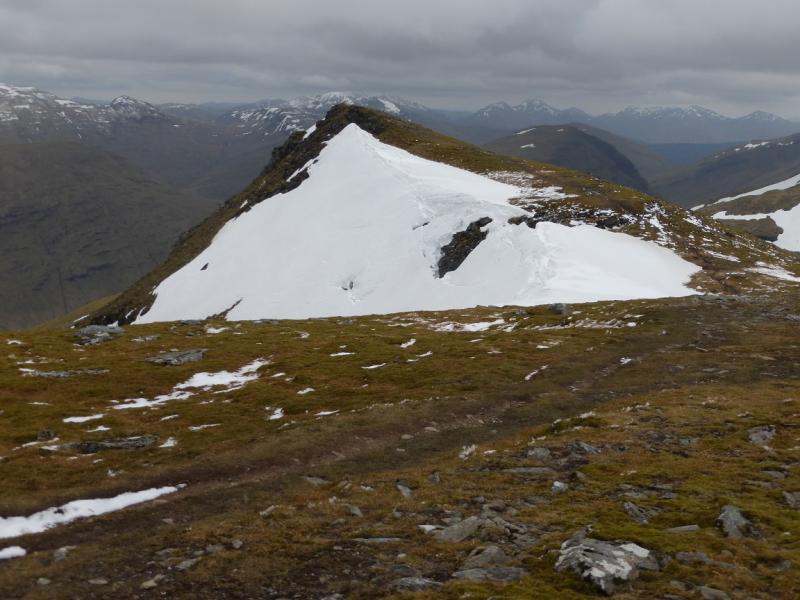
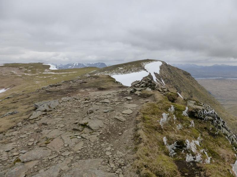
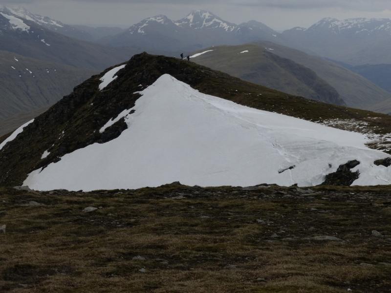
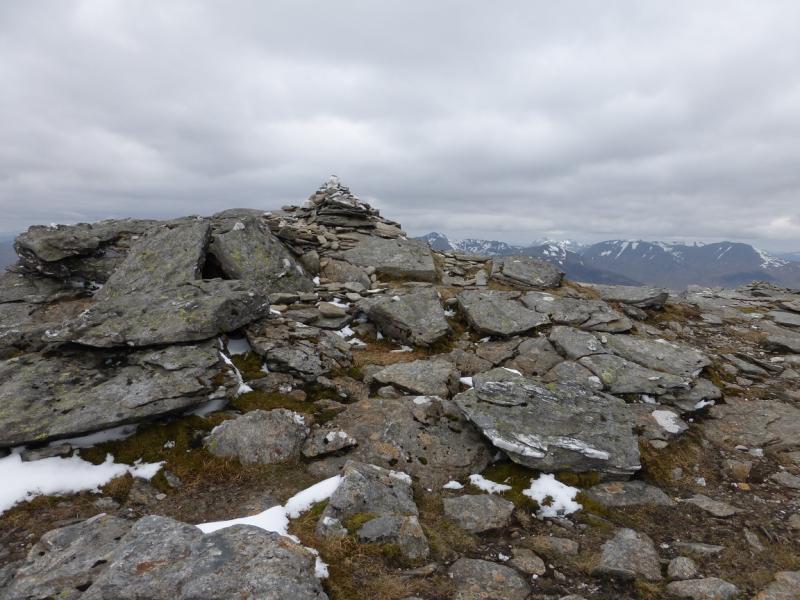
(2) Retrace to the bealach then follow a good path up the other side. The path soon deteriorates and goes up a wet and boggy grassy corrie to reach the crest between the W top and the central, summit, top of Beinn an Dothaidh. It is possible to avoid the boggy grass by going further left then traversing across higher up. Once on the crest, go roughly E, to reach amedium cairn which marks the summit of Beinn an Dothaidh, 1004 m. It is then worth going ESE, without little loss in height to the SE top which is the most attractive top on this mountain.
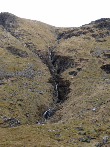
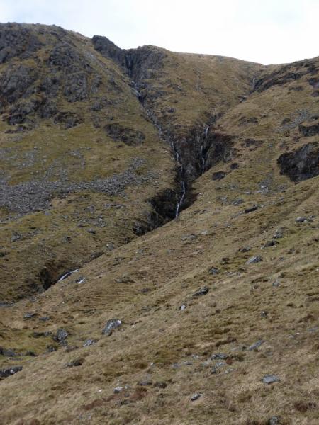
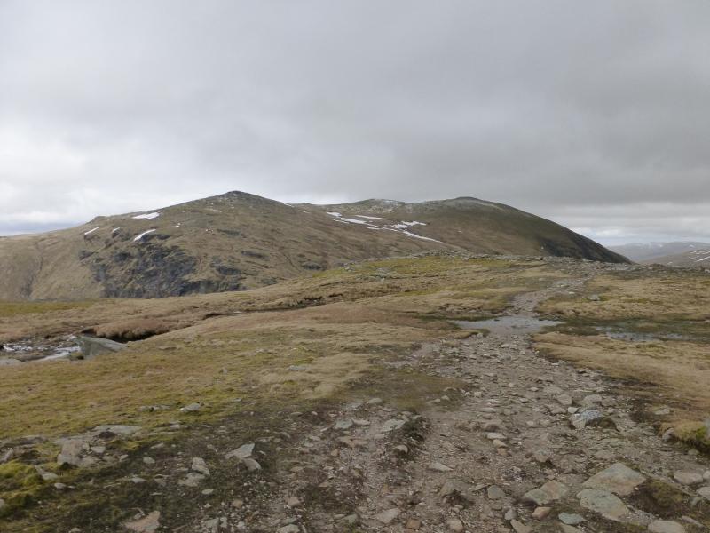
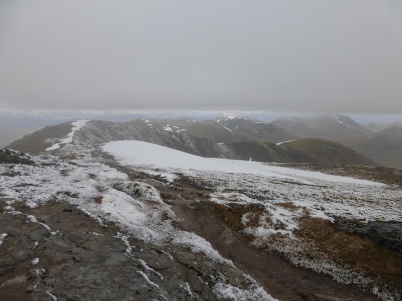
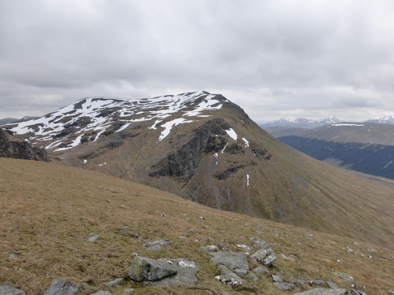
(3) Retrace to the summit then along the crest to the W top. From here descend SW down easy grassy slopes initially but these soon steepen so route finding is important. Drift as far left as you can so you are going down the steep nose clearly shown by the contours on the map. The ground is steeper if you go further left or right. The nose is mainly good, dry grass and, with care, should not present any difficulties. When the angles eases, go towards the Allt Coire an Dothaidh, aiming to cross above the obvious gorge. Rejoin the outward path and follow it back to the start.
Notes
(a) This walk took place on 25th October, 1993, 25th August, 2006, and on 2nd May, 2014.
Photos - Hover over photo for caption. Click on to enlarge. Click on again to reduce.