Get Lost Mountaineering
You are here: Scotland » 03 North-west Argyll, Appin and Glencoe » Ben Cruachan to Bridge of Orchy & Tyndrum
Beinn Bhreac-Liath & Beinn Udlaidh
Beinn Bhreac-Liath & Beinn Udlaidh from Invergaunan in Glen Orchy
Start/Finish
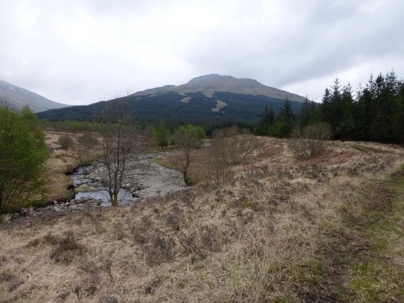
Next gate, about 150 m, and just after a bridge, after the entrance to Invergaunan, which is the first farm, seemingly now abandoned, down Glen Orchy from the Bridge of Orchy end. Driving down the B8074 minor road from Bridge of Orchy, it is about 1.5 miles to the start. From the Dalmally end, it is about 7.5 miles. This gate is the entrance to the forestry but it has a very wide entrance and it should be possible to park sensibly without causing any problem.
Distance/Time
10 km About 5 - 6 hours.
Peaks
Beinn Udlaidh, 840 m, NN 280 332.
Beinn Bhreac-Liath, 802 m, NN 302 339. OS sheet 50.
Introduction
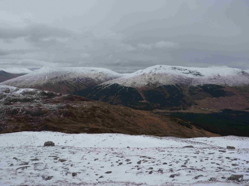
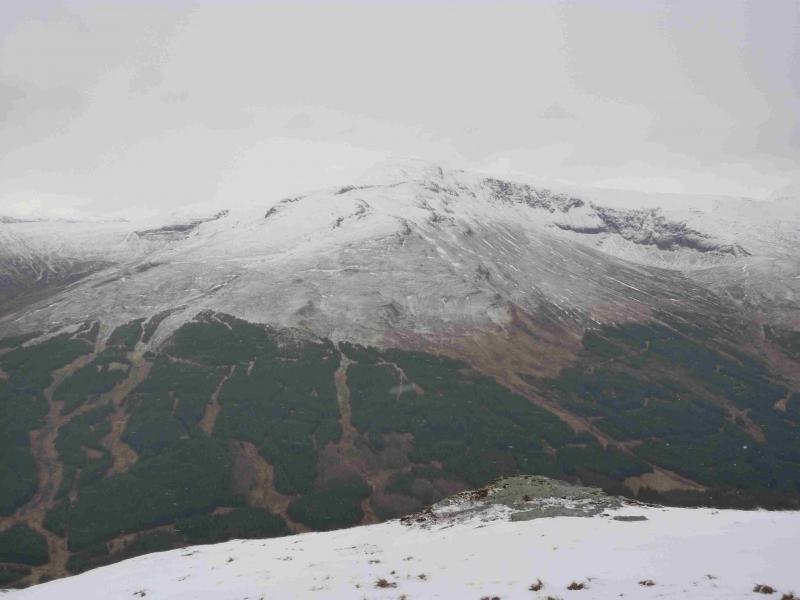
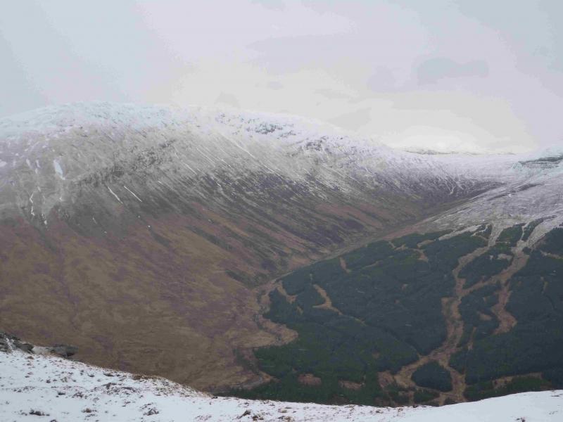
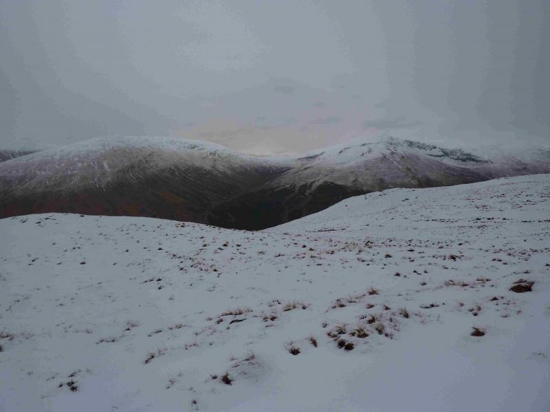
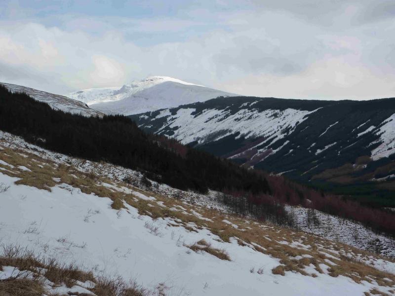
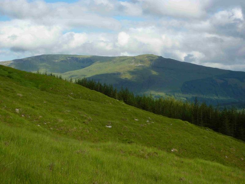
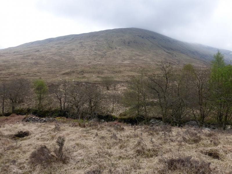
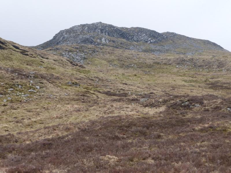
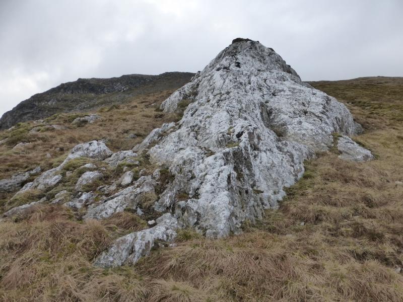
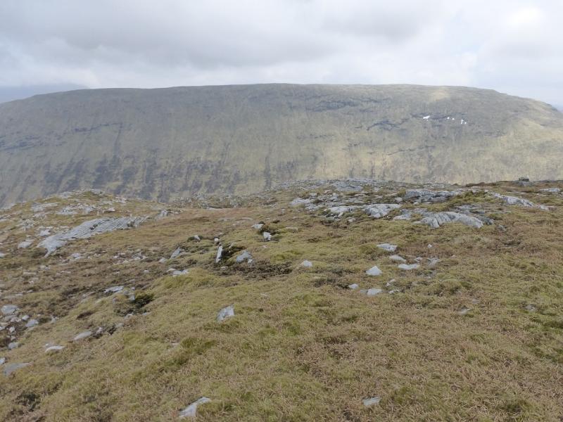
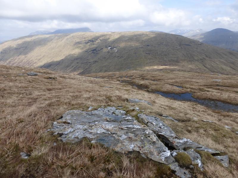
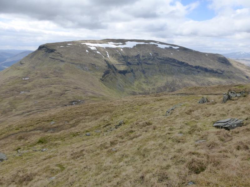
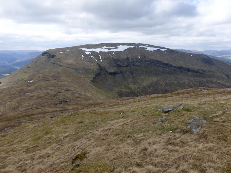
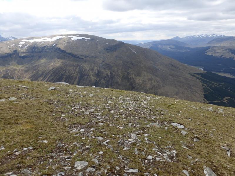
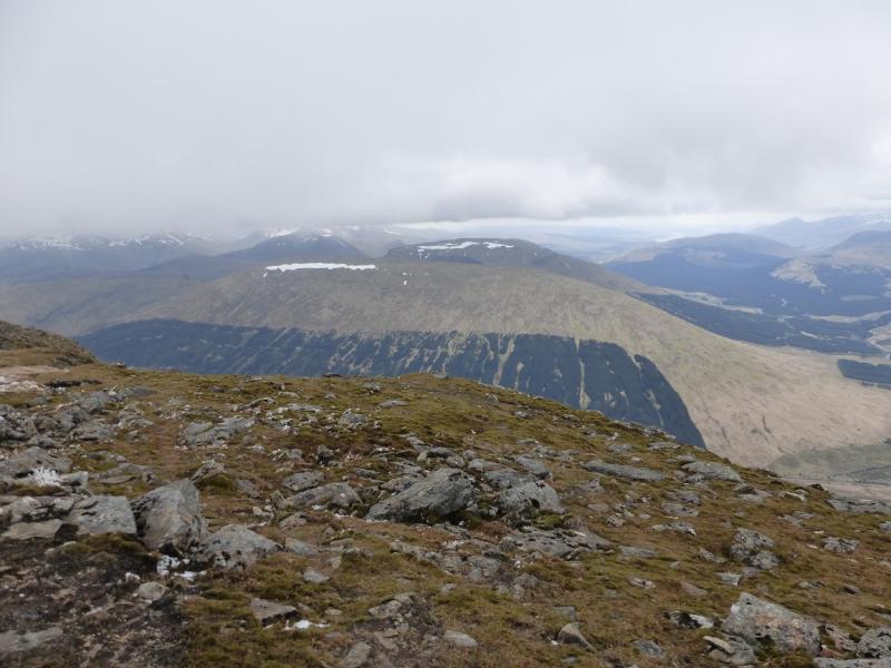
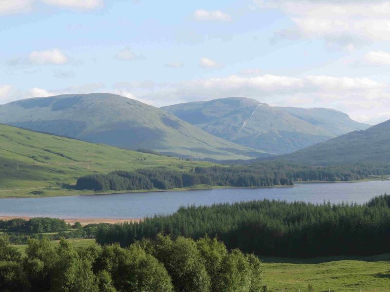
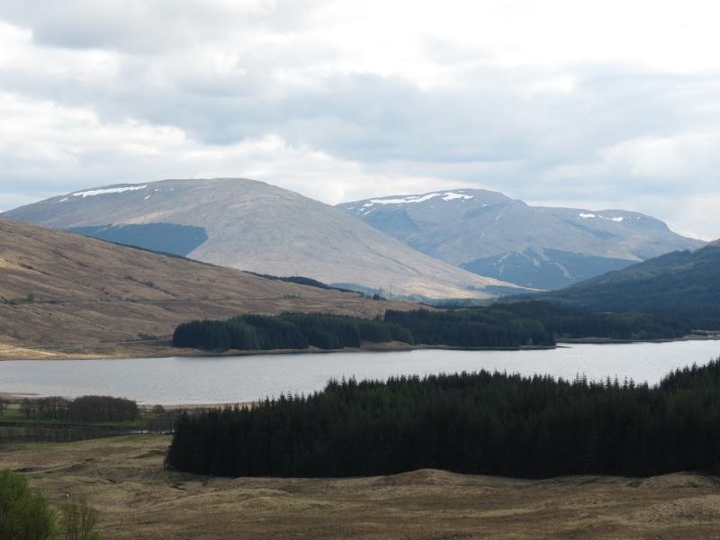
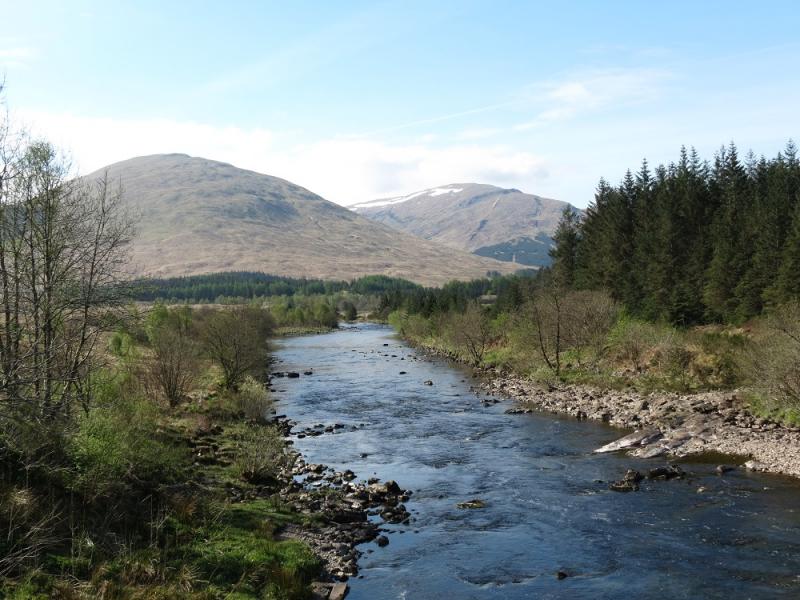
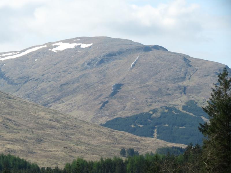
This is a tough walk with steep grassy ascents and descents but there are outstanding views especially to Beinn Dubchraig, Ben Oss and Ben Lui. The Crianlarich hills are all visible as are those around Tyndrum, especially Ben Challum. Beinn an Dothaidh and Beinn Dorain are very promient across the A82. Beinn Udlaidh has a distinctive white quartzite rib on its NE flank well seen from Glen Orchy.
Route
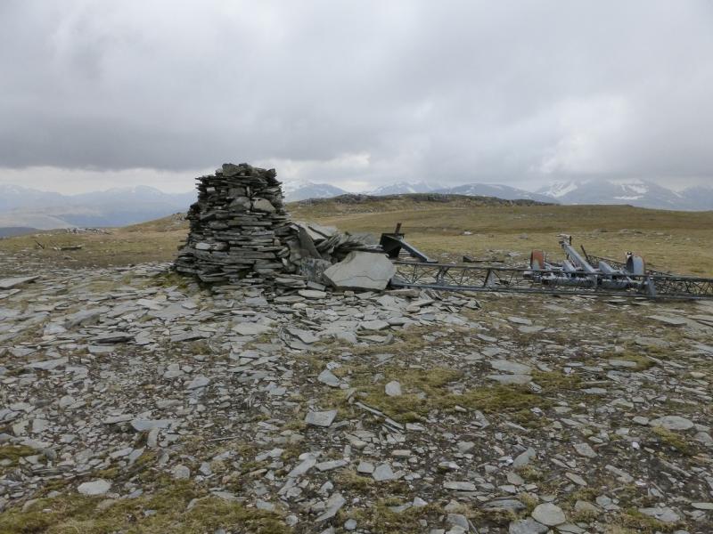
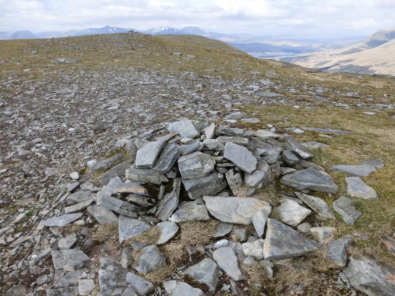
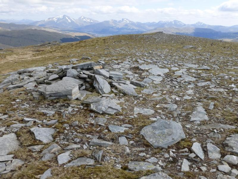
(1) Walk up the forestry track which follows the W side of the Allt Ghamhnain. In places the track seems to be going into the forest but it always comes out again so stick with it. Eventually, it leaves the forest and a high, padlocked gate is met. Easily missed is a pedestrian gate about 20 m back on the right. Go through this and start picking a way uphill to the S of the forestry. Head roughly SW up the steep slopes. When the quartzite rib is spotted, head for it and continue up to reach the S ridge proper then follow this S to easier ground. Eventually, reach a large cairn which marks the summit of Beinn Udlaidh, 840 m.
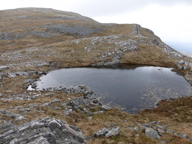
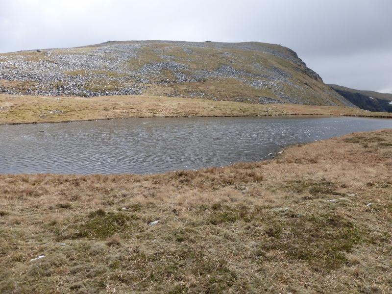
(2) Descend roughly E down grassy slopes to a broad grassy bealach. If you drift too far right, cliffs will be encountered. From the bealach, climb NE, steeply at first, up mainly grassy slopes to reach the almost level crest where there are two small cairns, less than 100 m apart, which mark the summit of Beinn Bhreac-Liath, 802 m. The second cairn may be the higher of the two.
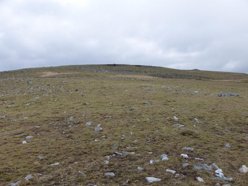
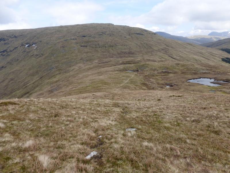
(3) Continue NNW, along the grassy crest. Walk off the end and pick a way down the moderately steep slopes heading NW. The true line of the crest goes N towards Bridge of Orchy. It is quite a long descent but aim for the corner of the wood to the E of Invergaunan then join the road and walk back to the start.
Notes
(a) This walk took place on 27th October, 2001, and on 29th April, 2014.
(b) It is possible to follow the forestry track to its end but this is not recommended as it leaves a much steeper ascent and a high deer fence to cross.
Photos - Hover over photo for caption. Click on to enlarge. Click on again to reduce.
.JPG)
.JPG)
.JPG)
.JPG)
.JPG)