Get Lost Mountaineering
You are here: Scotland » 04 Loch Leven and Loch Linnhe to Loch Ericht » Mamores to Corrour
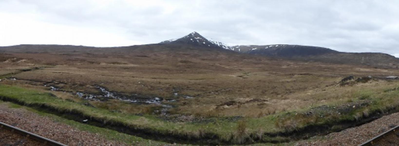
Leum Uilleim
Leum Uilleim from Corrour Station
Start/Finish
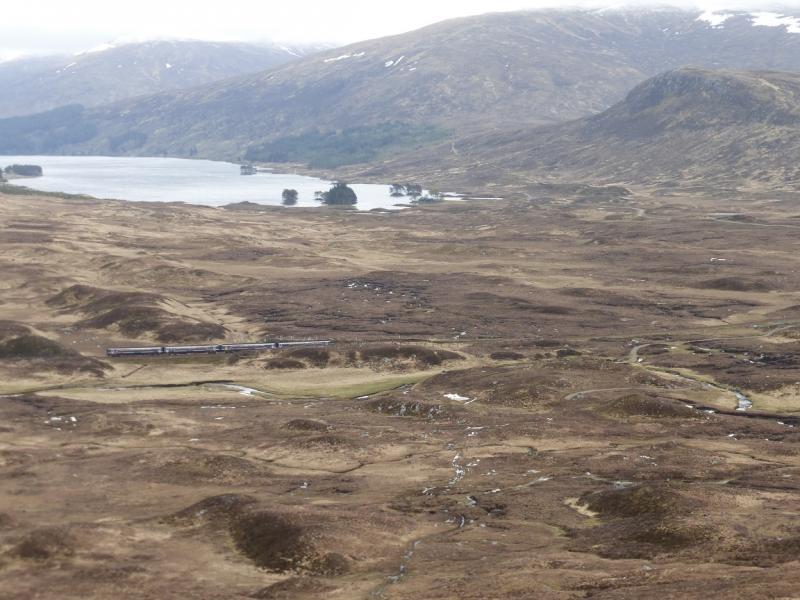
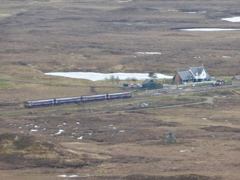
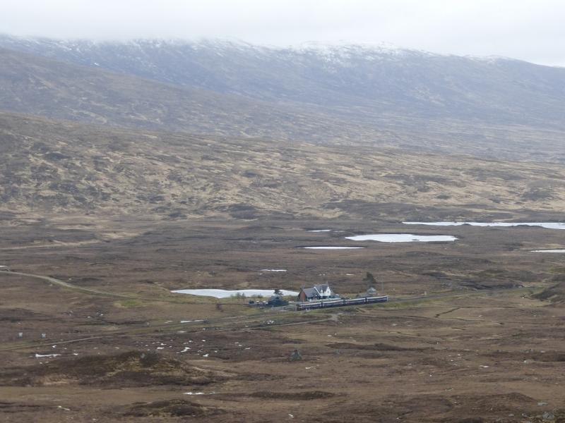
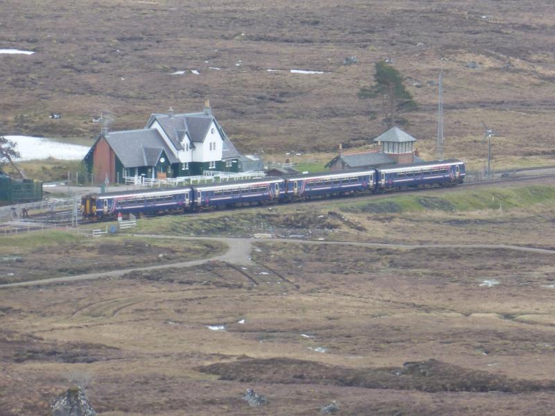
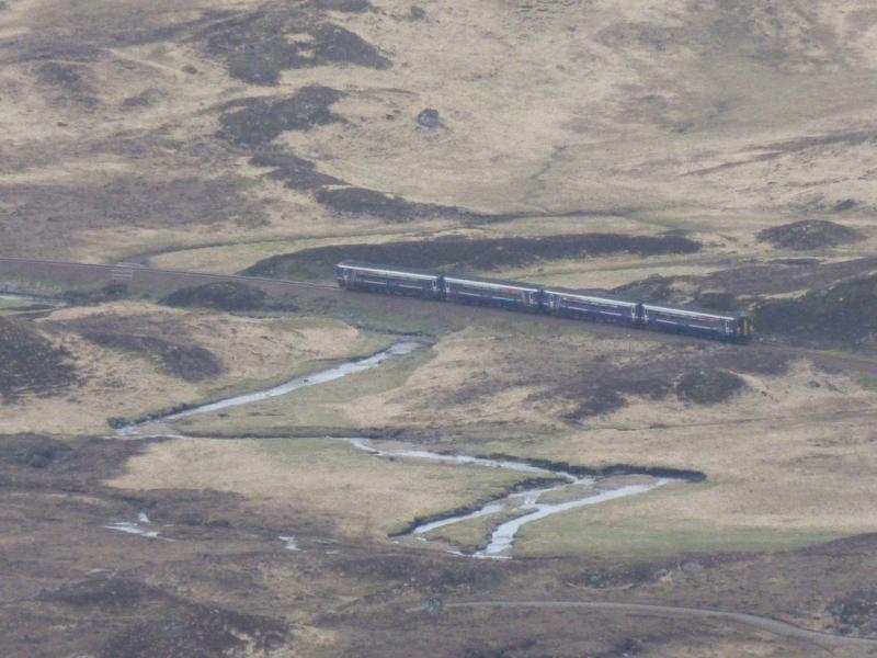
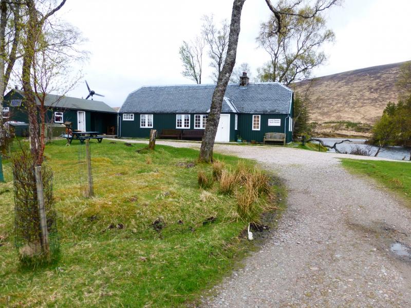
Corrour station is reached by train from either Tulloch, Roy Bridge, Spean Bridge or Fort William to the N or Rannoch, Bridge of Orchy, etc, stations to the S.
Distance/Time
10 km About 4 – 5 hours
Peaks
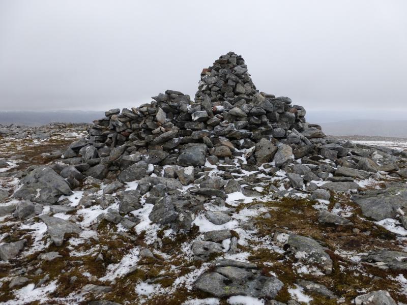
Leum Uilleim, 909 m, NN 330 641. OS Sheet 41.
Introduction
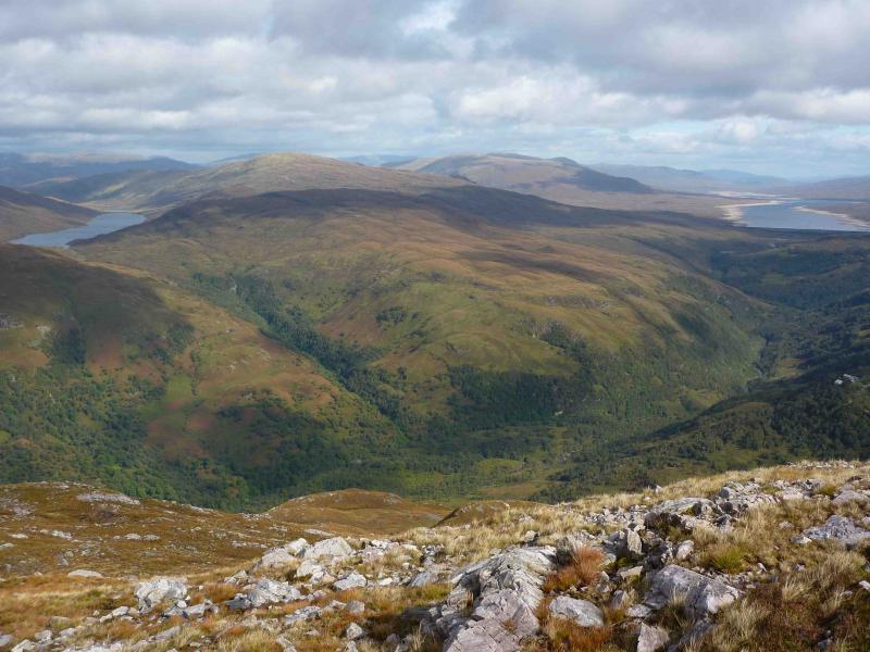
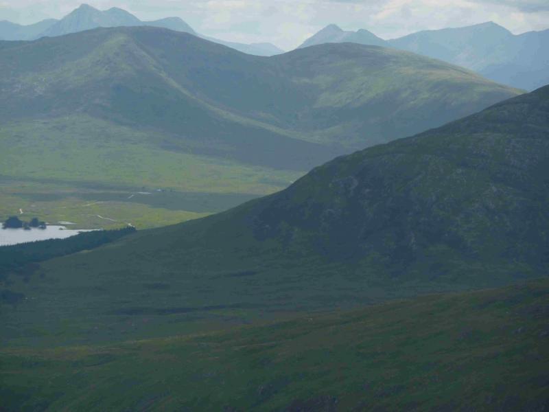
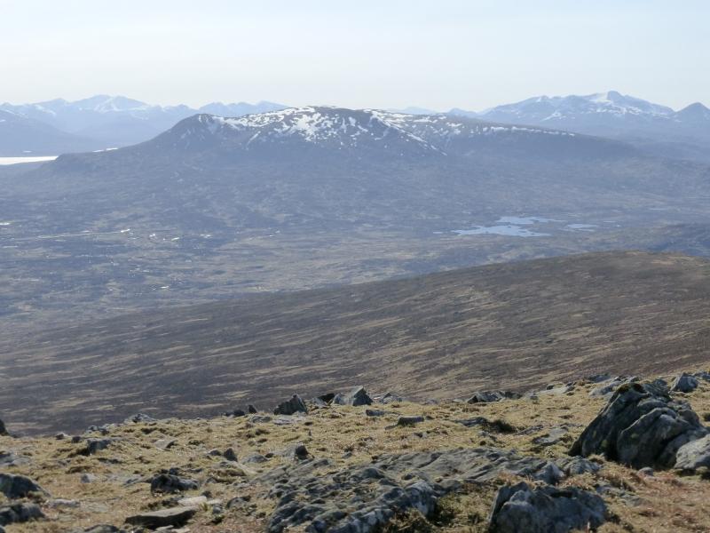
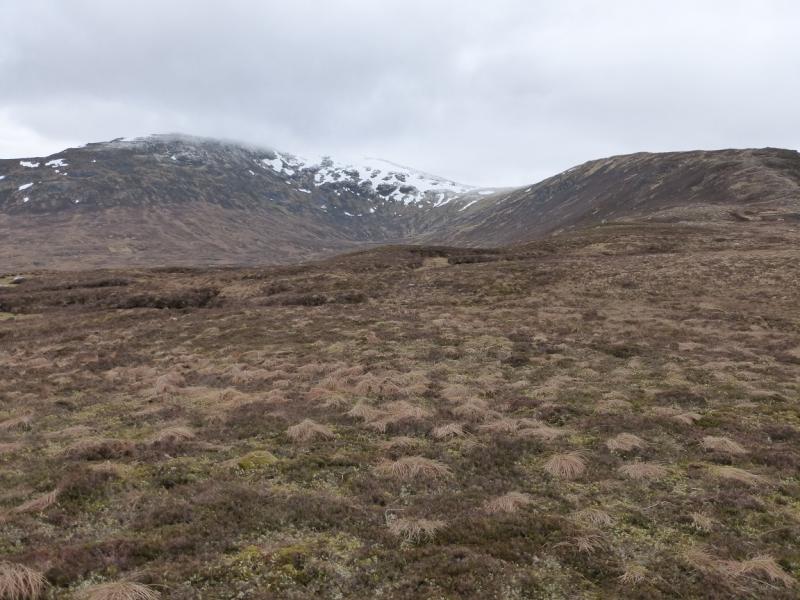
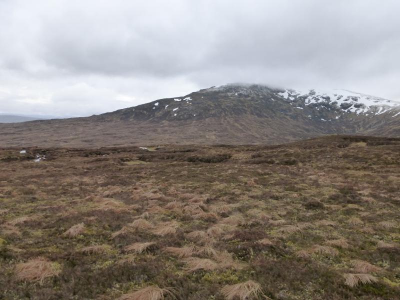
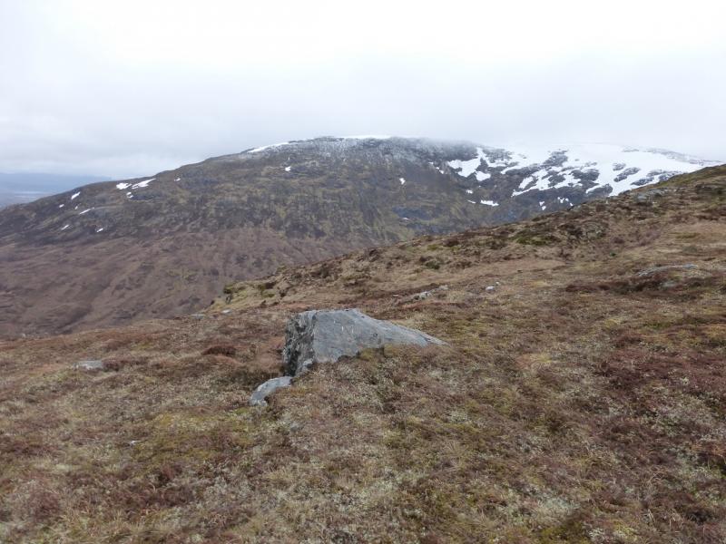
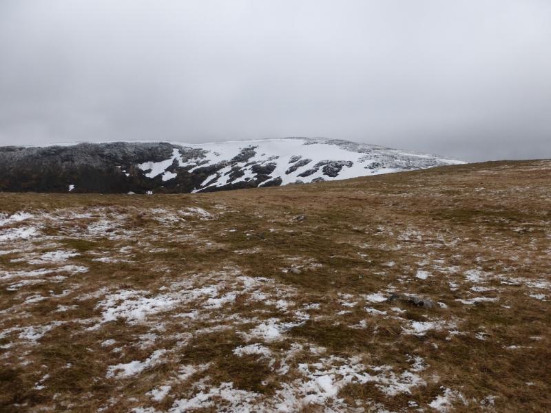
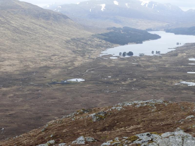
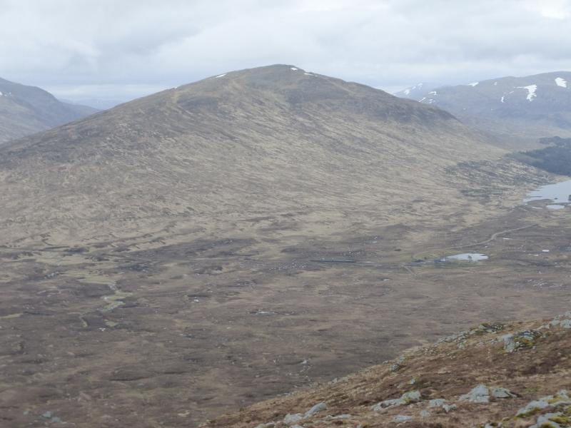
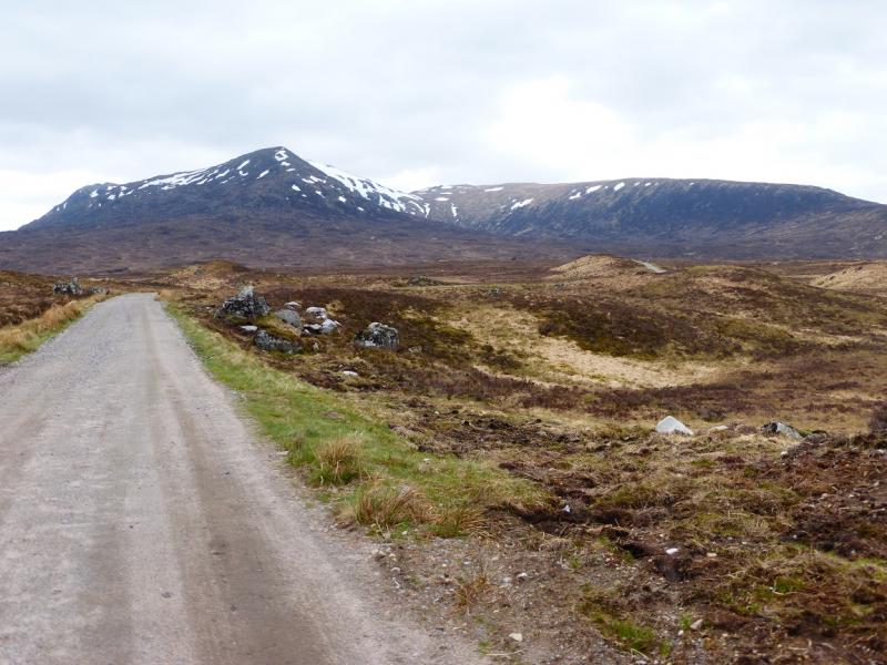
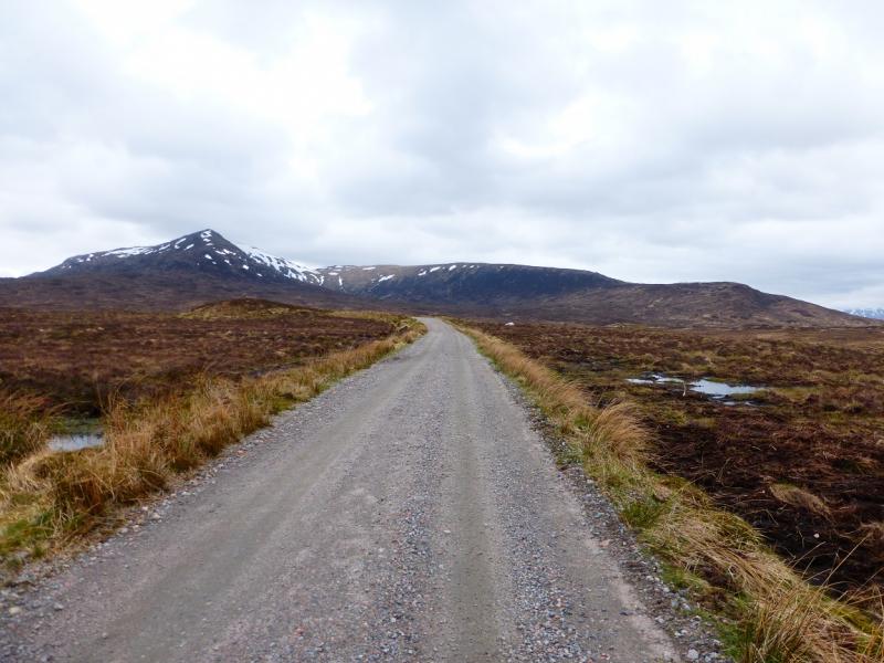
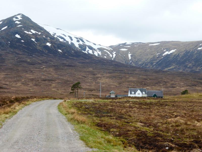
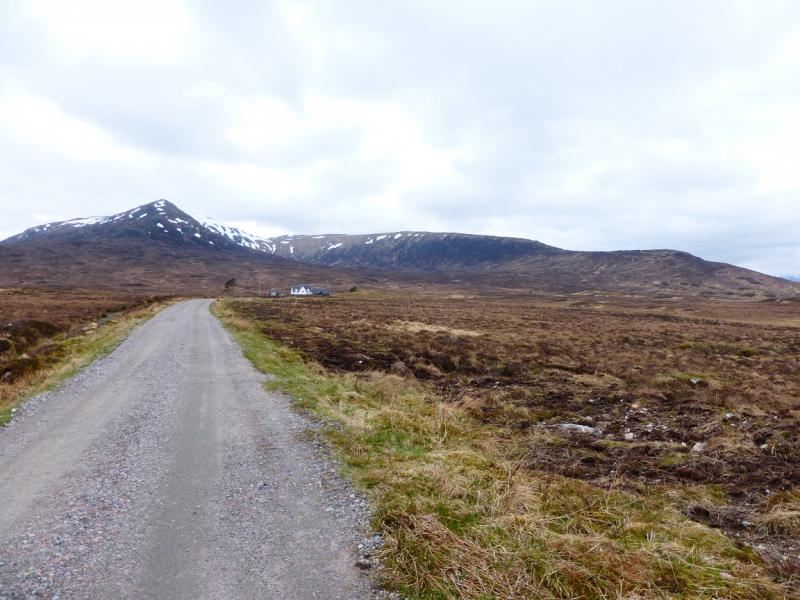
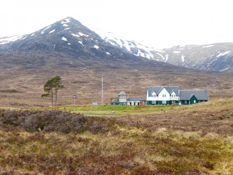
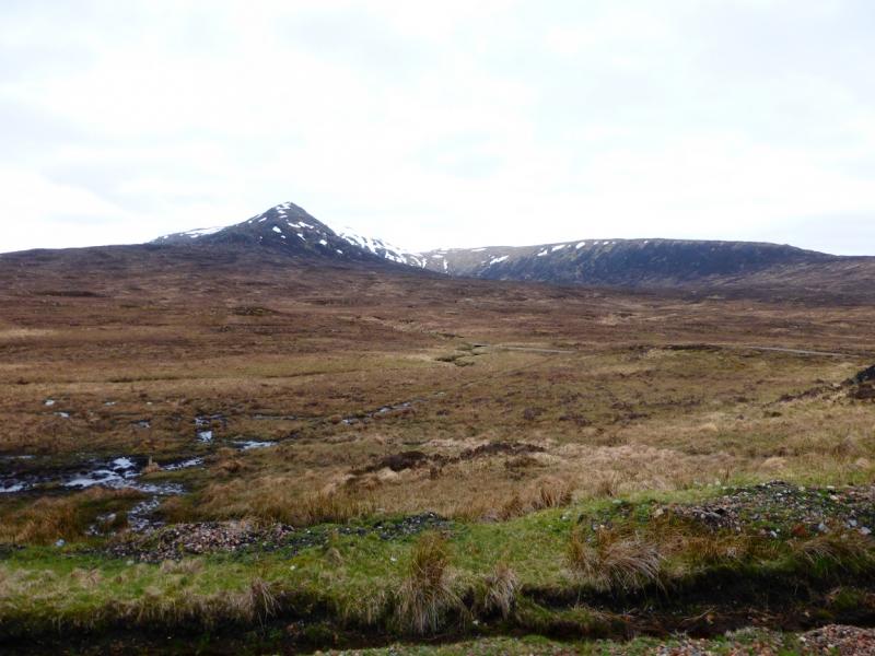
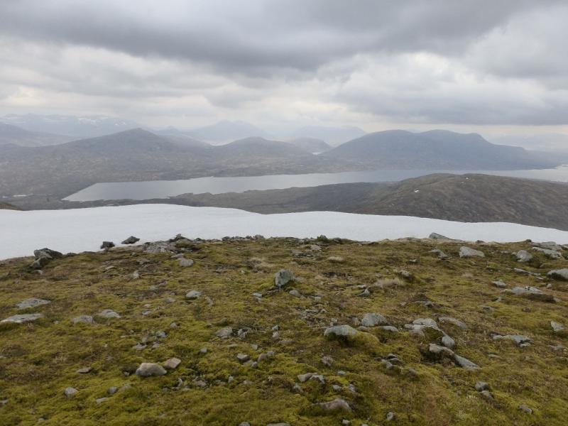
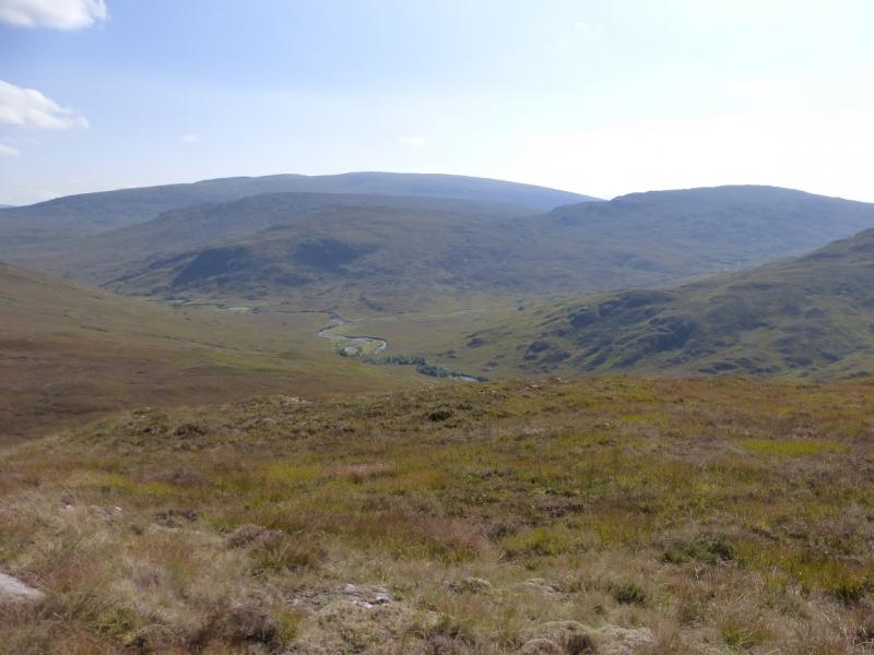
This is a relatively easy horseshoe to the west of Corrour station. The only drawback is that lower parts of the route can be quite boggy. There is a track and path most of the way. Views are excellent and include the Easains, Grey Corries, Buachaille Etive Mor, Beinn Eibhinn, Ben Alder and Carn Dearg just to mention a few. Loch Trieg, Loch Ossian and the Blackwater Reservoir are also very prominent. One problem is that the walk is usually finished with about two hours to spare before the return train. In winter, Corrour is a cold place to sit around. In summer, the midges will eat you alive if you sit around and there is no wind! There is a restaurant at the station but, on 1/5/14, it was not open to non-residents during the day which is no help at all. In the good old days when Beth Campbell was the tenant, it was open all day to everyone and was busy all day. Sadly, she left and her successors have not lasted very long for one reason or another.
Route
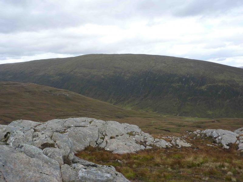
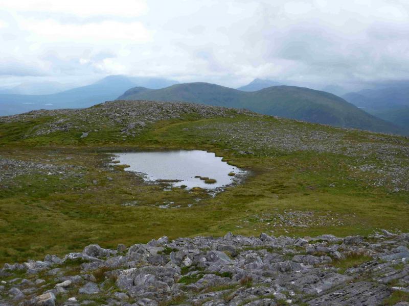
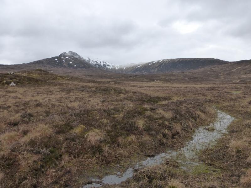
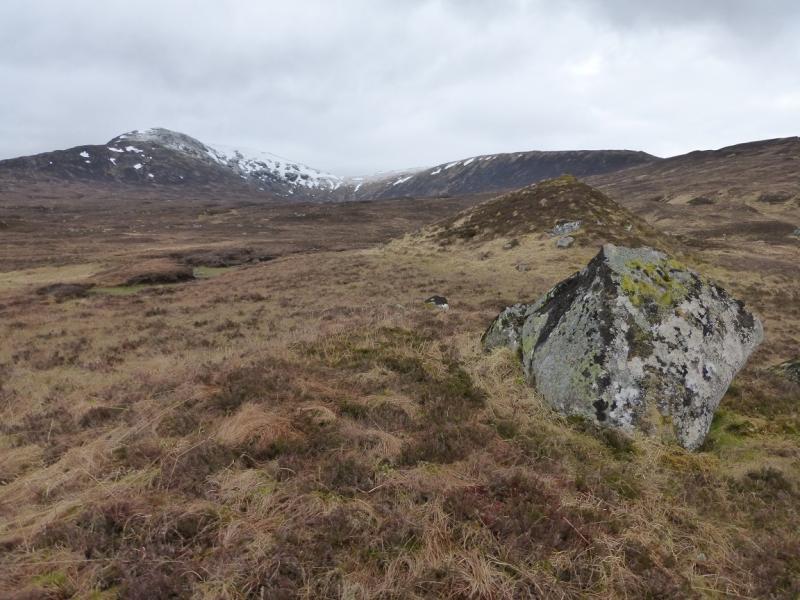
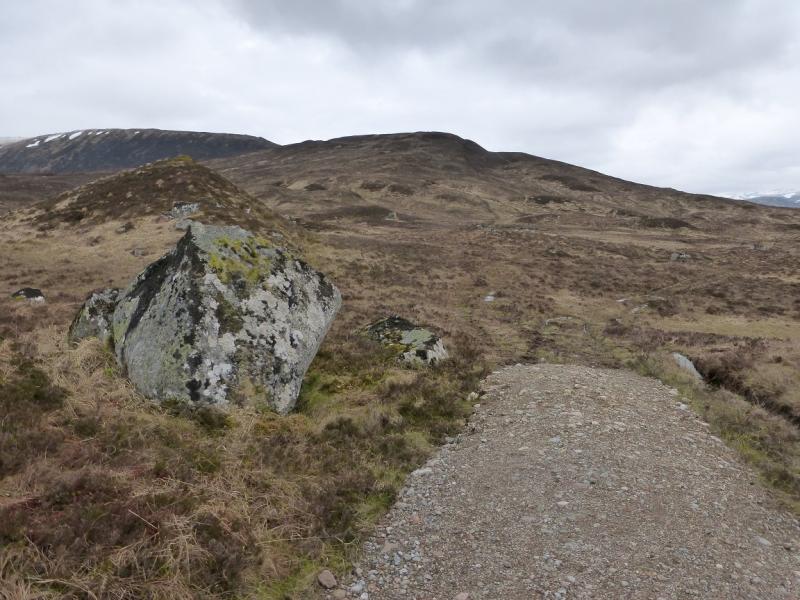
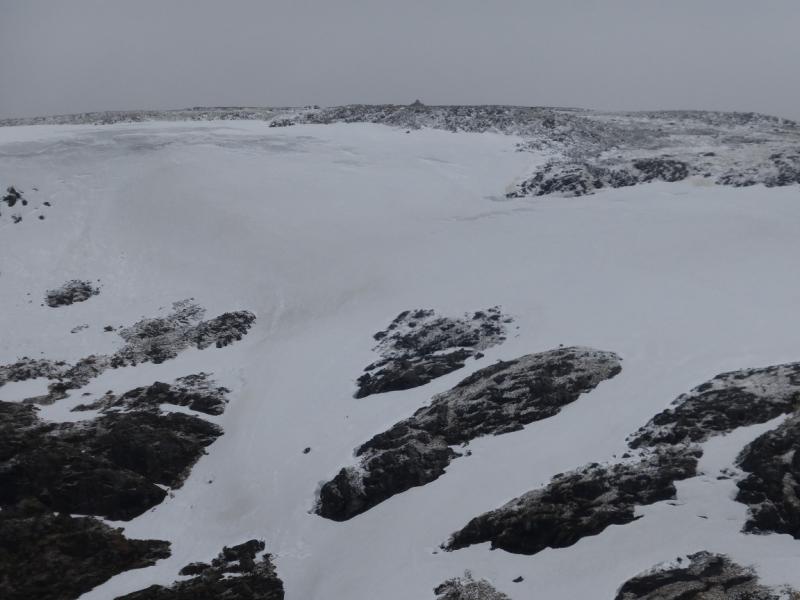
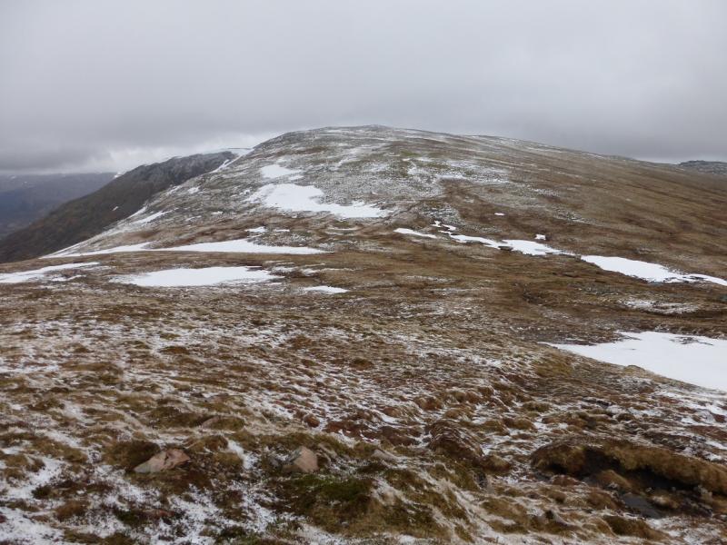
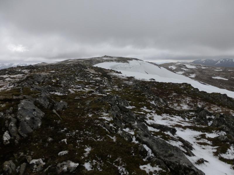
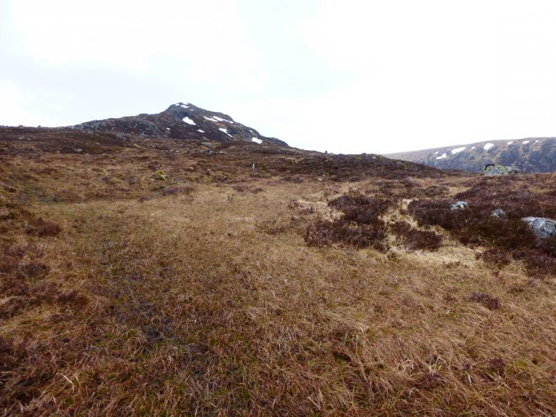
(1) From Corrour station, walk north west along the good track alongside the railway. Stay with the track when it leaves the railway and goes W, soon becoming a boggy ATV track. This leads up the Tom an Eoin ridge climbing fairly gently. Higher up, the track splits. The left fork is more direct for the summit but if the right fork is followed, one is treated to better views but don't go beyond where the track passes between two small lochans (may dry up in summer) with a cairn well to the left on a minor top. Whichever branch is followed, go into the bealach between Beinn a' Bhric and Leum Uilleim then walk up easy angled slopes to reach the tall cairn which marks the summit of Leum Uilleim, 909 m. The track which forked left goes to the bealach but then goes across the S flank and not to the summit.
(2) Descend NE following a faint path down an obvious ridge. This leads to boggy ground much lower down where an ATV track can be joined which leads back to the station.
Notes
(a) This walk took place on 2nd June, 2004, and on 1st May, 2014.
Photos - Hover over photo for caption. Click on to enlarge. Click on again to reduce.