Get Lost Mountaineering
You are here: Scotland » 03 North-west Argyll, Appin and Glencoe » Blackmount & East of Glen Etive
Beinn a' Chrulaiste and West Ridge
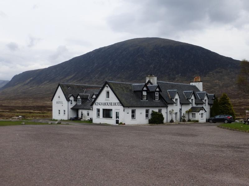
Beinn a’ Chrulaiste and West Ridge from Kingshouse Hotel
Start/Finish
Kingshouse Hotel on the A82 about 1 km SE of the Glen Etive turn off at about NN 260 546. Those with pre-1990 maps need to be aware that there is now a new, more direct, road from the A 82 and that access via the Black Corries Lodge track is no longer possible by car.
Distance/Time
9 km About 4½ hours.
Peaks
Beinn a’ Chrulaiste, 857 m, NN 246 566. OS sheet 41.
Introduction
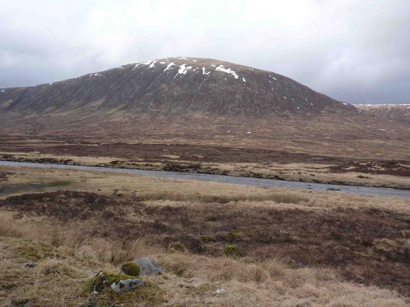
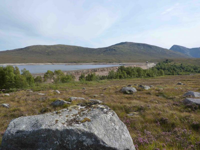
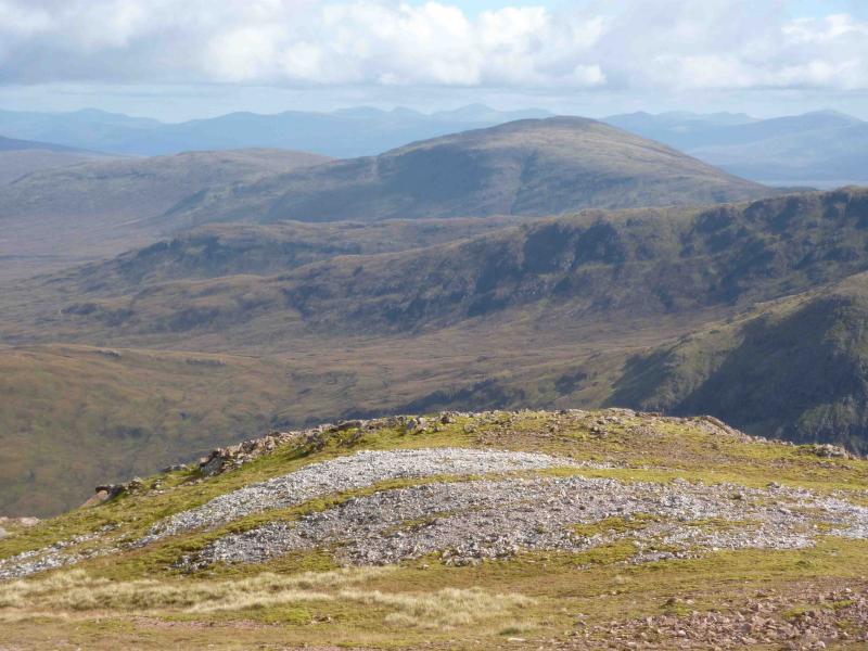
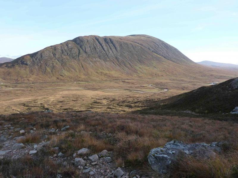
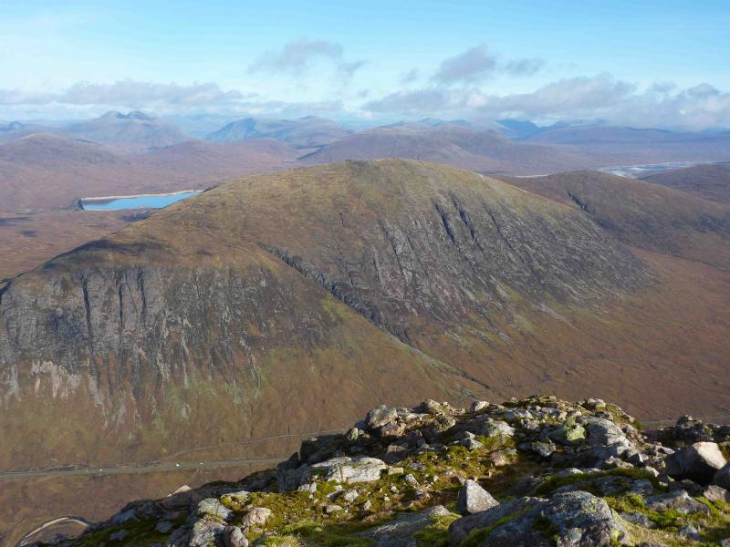
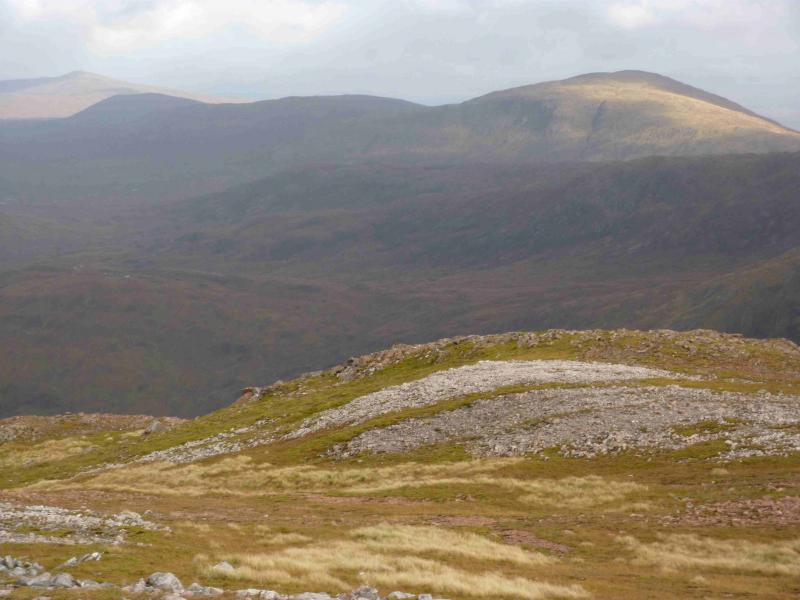
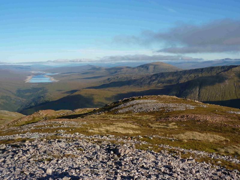
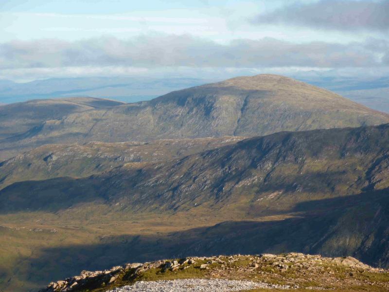
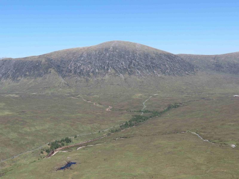
This Corbett is climbed mainly for its panoramic views especially of Buachaille Etive Mor which is “just across the road”. The Mamores, Black Mount, Glen Etive, Glencoe and Ben Nevis Range are all in view. Choose a good day so that the views can be enjoyed to the full. A simialr version of this walk has been uploaded which goes east from the summit and returns over Meall Bhalach. This version returns via the west ridge and offers better views of Buachaille Etive mor.
Route
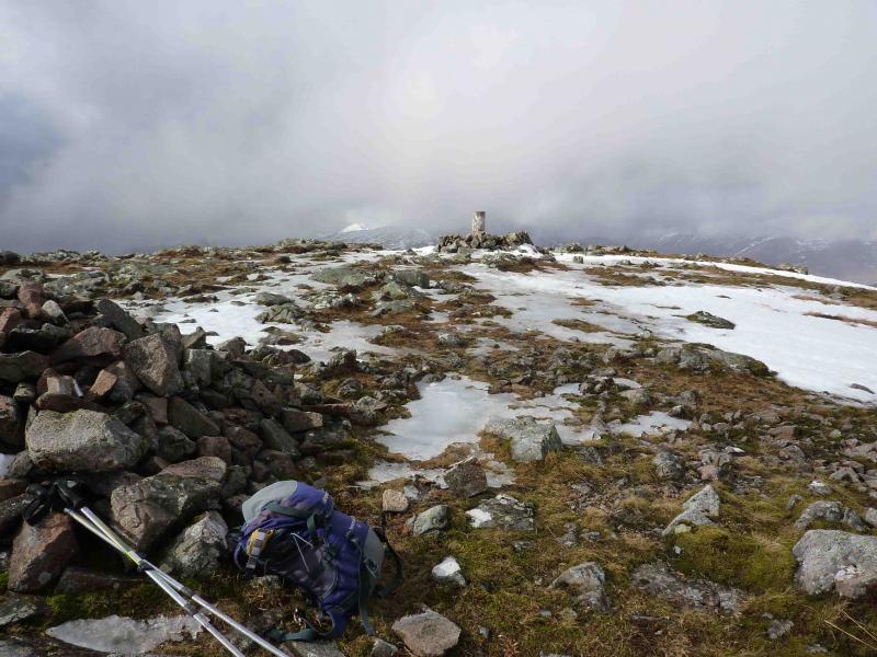
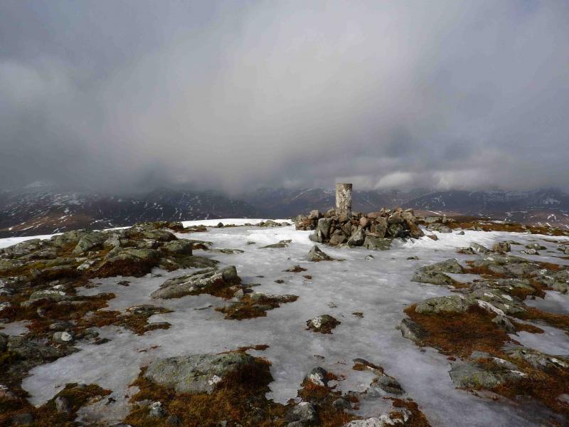
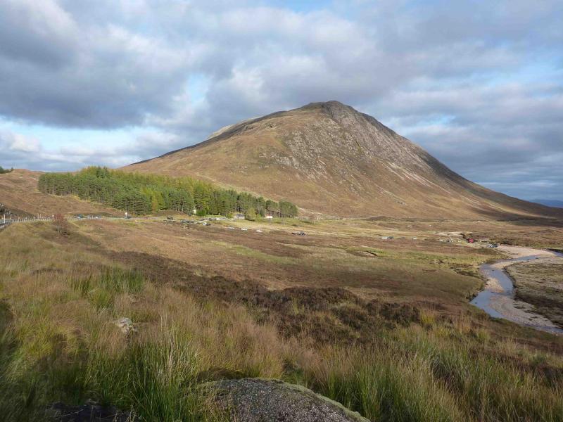
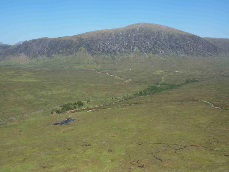
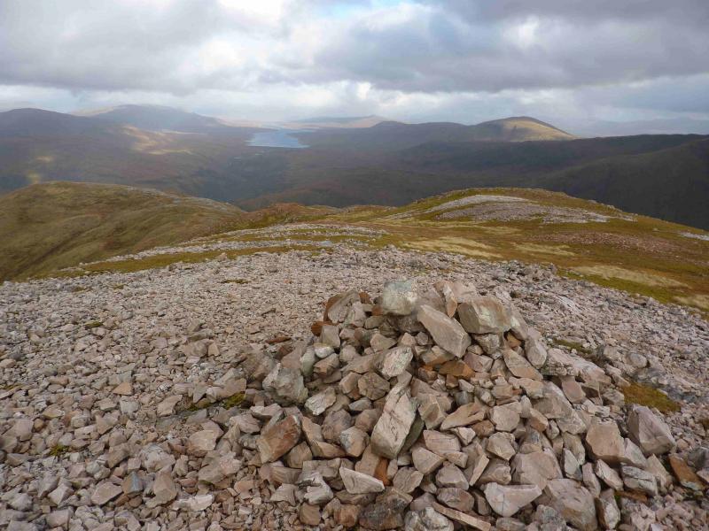
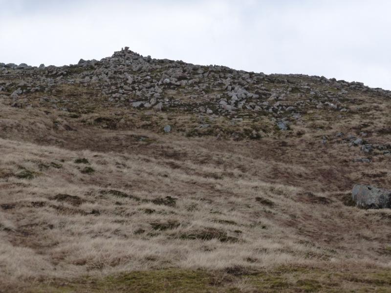
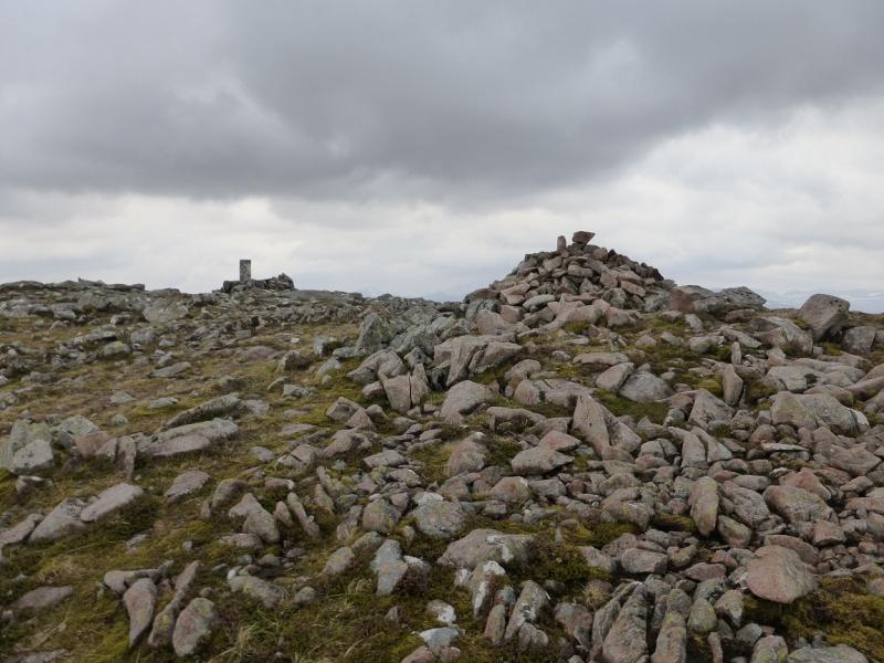
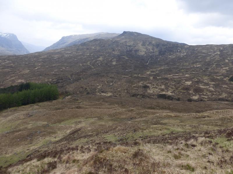
(1) Walk over the bridge to the right of the hotel and continue to reach the track to Black Corries Lodge. Ignore any paths and tracks which go straight on as they are often very boggy. Instead walk E for about 200 m then walk up either bank of the Allt a’ Bhalaich. The E bank gives the best going but the river will need to be crossed higher up. This is not normally a problem but if the river is high, a good crossing point is about 50 m past the telegraph poles on a wide bend. Continue to about the 350 m contour then start ascending the obvious ridge on the left going ESE. This is mainly covered in long grass and is boggy in places with hints of a path here and there. The ridge steepens higher up but there are no difficulties. The angle eases as the summit plateau is reached where there is a large cairn and a trig point inside a low walled cairn which marks the summit of Beinn a’ Chrulaiste, 857 m. The highest point may actually be about 40 m SW of the trig point across level ground.
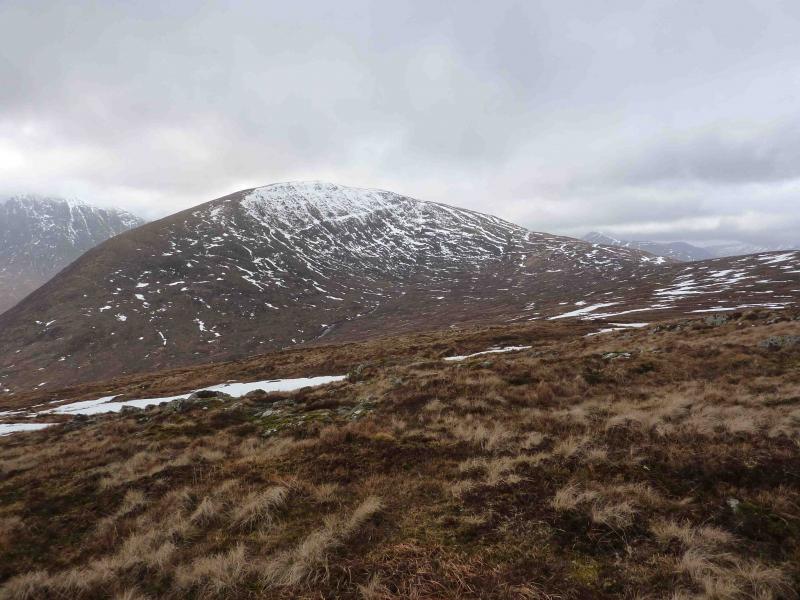
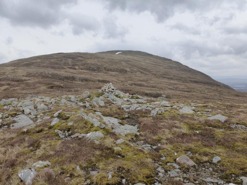
(2) Descend W, down easy slopes. Stob Beinn a' Chrulaiste can be visited, for very little effort, if one wishes. Lower down the angle steepens but there are no difficulties to worry about. Aim for the main A82 road just to the E of the wood near Altnafeadh. Walk back along the obvious West Highland Way which is noisy until it moves away from the road.
Notes
(a) This walk took place on 26th October, 1998 and 5th May, 2014.
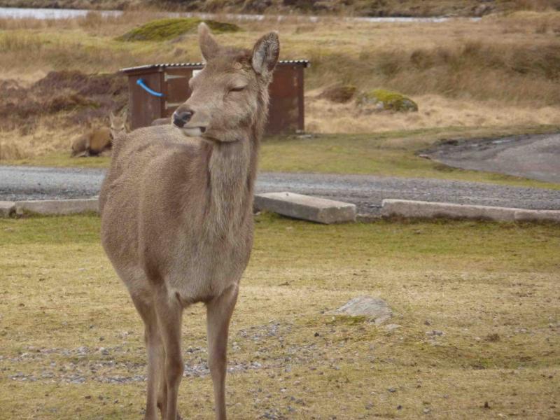
Photos - Hover over photo for caption. Click on to enlarge. Click on again to reduce.