Get Lost Mountaineering
You are here: Scotland » 10b Loch Eil to Glen Shiel » Loch Lochy to Loch Quoich & Glen Dessary
Sgurr Cos na Breachd-laoigh
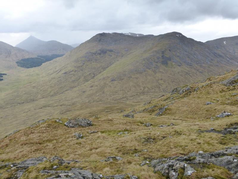
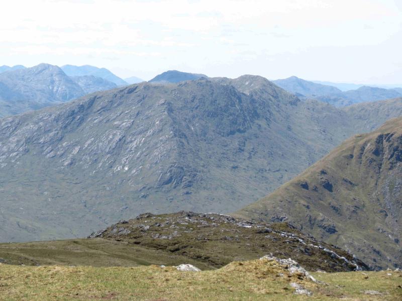
Sgurr Cos na Breachd-laoigh from far end of Loch Arkaig
Start/Finish
The end of the public road at the far end of Loch Arkaig. This is a long drive (40+ minutes) from Spean Bridge via Gairlochy. The road by the loch is single tracked and narrow with many blind bends and summits. Be prepared to reverse some distance if another vehicle is encountered. If pulling a trailer or caravan, make sure you can reverse with that as well. The parking space used to be quite limited but there is now a car park for 17 cars. You may still need to arrive early to be sure of a place though as the previous parking options on the verges have been blocked off. On 6/5/14, substantial timber clearing was taking place in Glen Pean which meant that long and very heavy timber wagons were driving the full length of this road and wrecking it. In places, half the road is missing. At the current rate of destruction, parts of the road may soon become impassable to cars. The Loch Arkaig road is bad enough when in good repair but is now awful. Taking one's car down Loch Arkaig is now probably the driving equivalent of self-flagellation!!!
Distance/Time
10 km. About 5 - 6 hours.
Peaks
Sgurr Cos na Breachd-laoigh, 835 m, NM 948 947. OS sheet 33.
Introduction
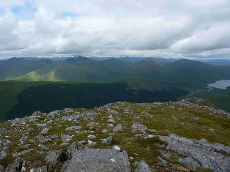
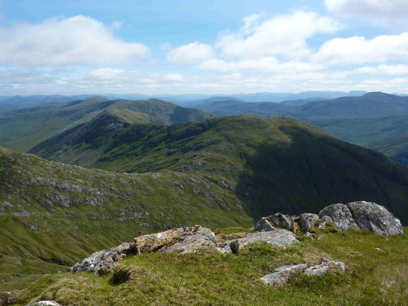
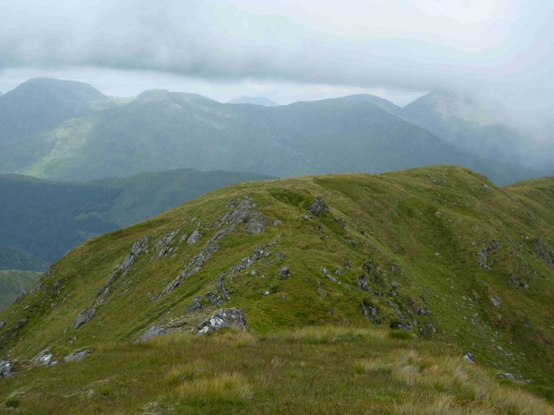
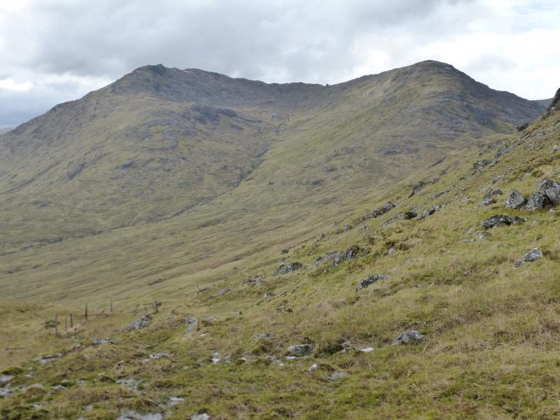
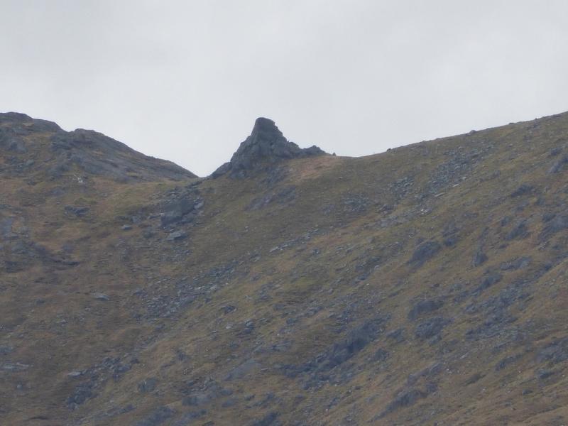
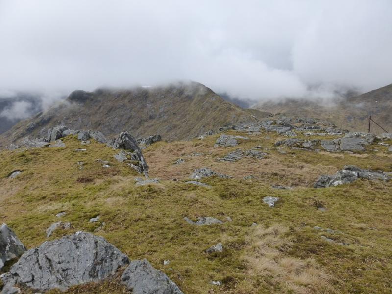
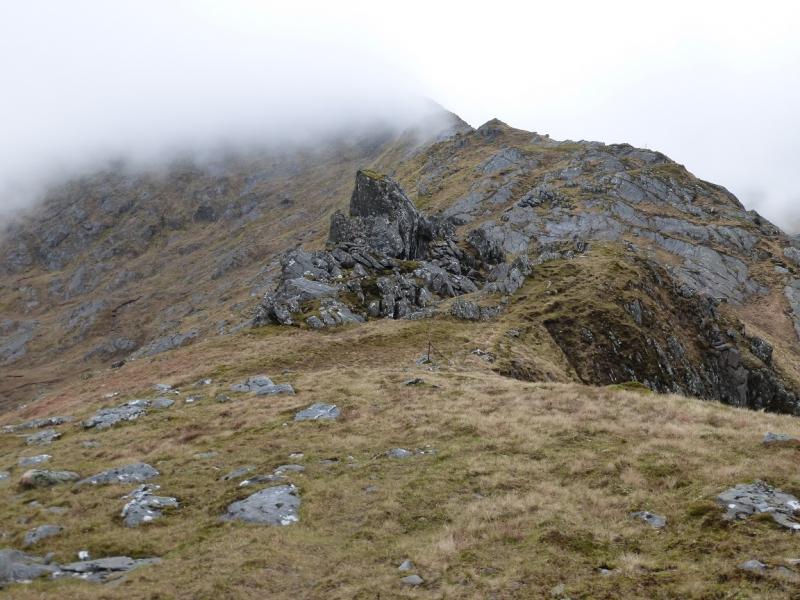
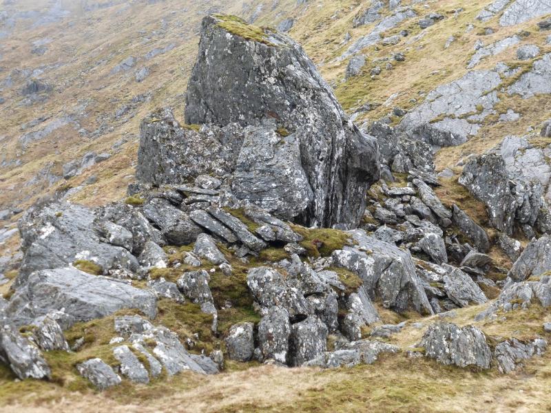
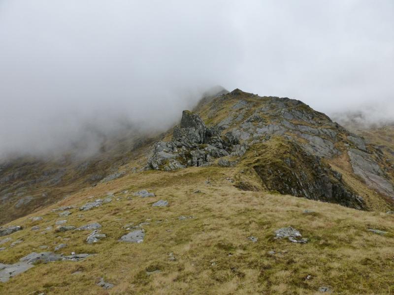
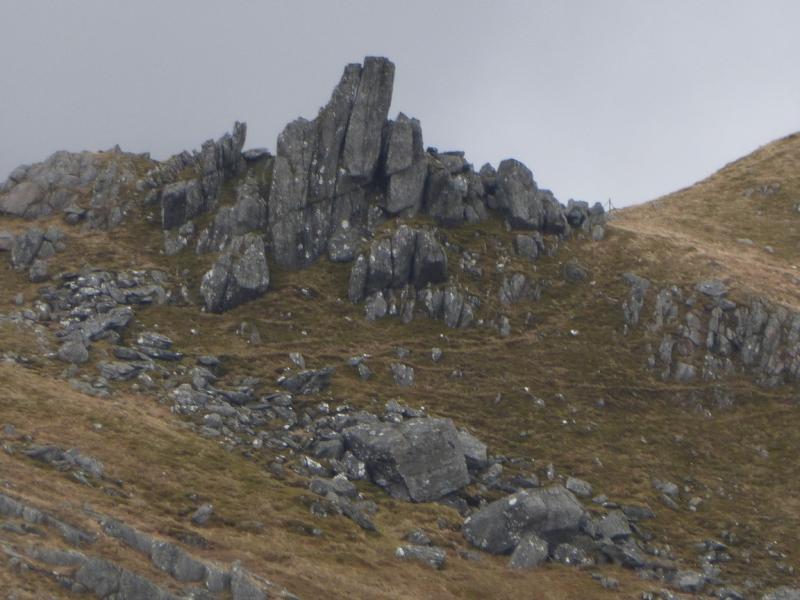
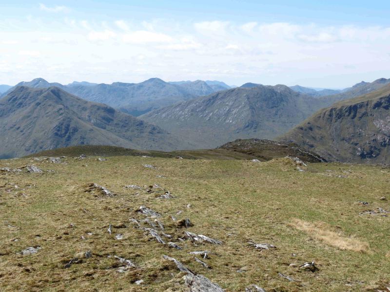
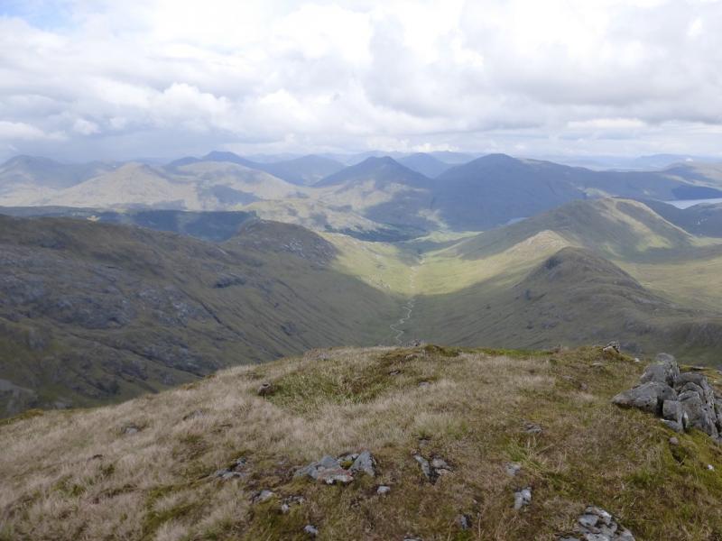
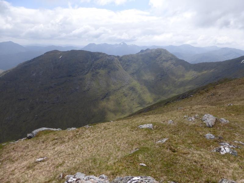
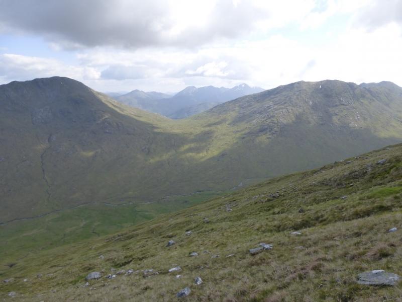
This is the very obvious horse shoe seen as one approaches Glendessary Lodge from Loch Arkaig. It is pleasant to walk, especially in its upper parts. From the glen, an obvious pinnacle, can be seen between Sgurr Cos na Breachd-laoigh and its subsidiary top of Druim a' Chuirn. The route passes by this. Views are excellent. Gulvain, Streap, Sgurr Thuilm and Sgurr nan Coireachan (Corryhully) are well seen to the south; Sgurr Mor, Sgurr an Fhuarain and Gairich are well seen to the north and Sgurr nan Coireachan (Glen Dessary), Carn Mor and Bidean a' Chabhair are well seen to the west. Save this walk for a clear day.
Route
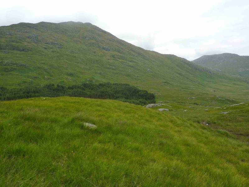
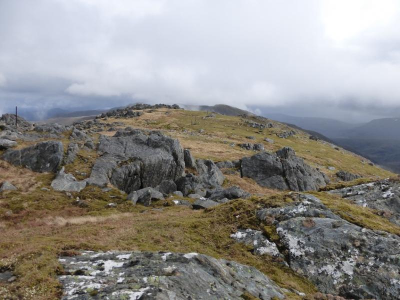
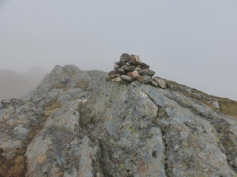
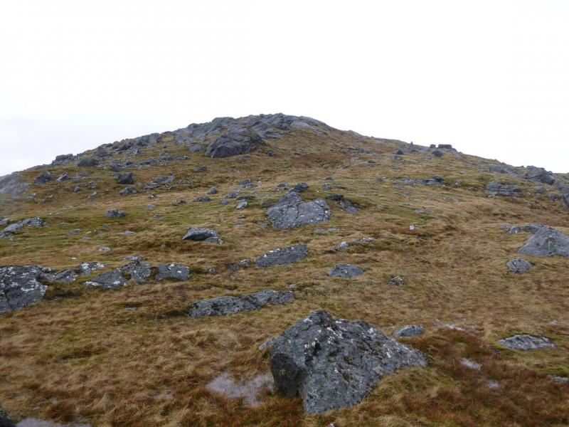
(1) From the end of Loch Arkaig, walk or cycle, for about 2 km, to the bridge where an old right of way goes over to Glen Kingie. There is another bridge soon after. The path goes up between these two bridges but is not that easy to follow. Aim for the SE ridge of Druim a' Chuirn and gain this ridge as soon as possible. If you are tempted to follow the ATV track before the first of the two bridges, make sure that the burn is not in spate as it will have to be crossed higher up. Follow the mainly grassy SE ridge up to a rocky plateau where there is no cairn. Descend W then WSW along a reasonably well defined ridge with more than a hint of a path. The ridge leads up to a rocky area where a medium cairn marks the summit of Sgurr Cos na Breachd-laoigh, 835 m.
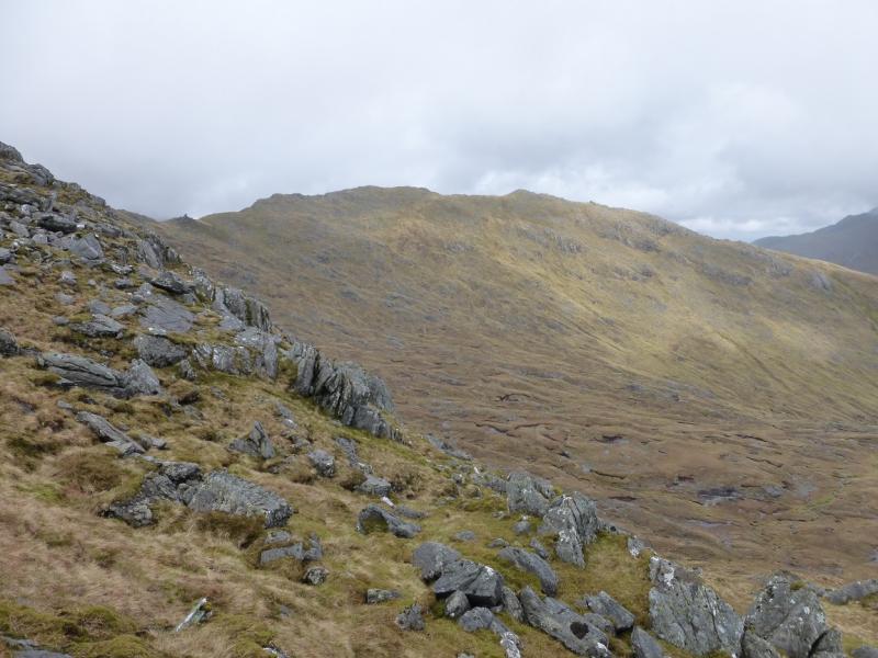
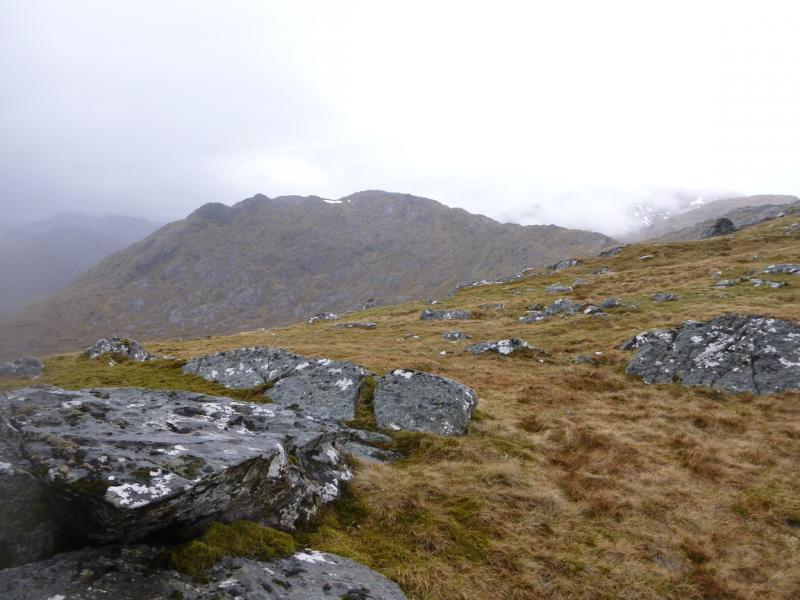
(2) Descend SE, crossing some minor tops. There is a hint of a path. It is teep in places with some large crags but these can easily be avoided, usually to the W. Lower down, the angle eases and the ridge becomes less well defined. Follow it down towards Glendessary Lodge and walk down the side of its W boundary fence to join the main track in Glen Dessary. Turn left, E, and walk back to the start..
Notes
(a) This walk took place on 26th June, 2003, and 7th May, 2014.
(b) It is marginal as to whether using a bicycle saves time as only about 4 km of the route can be cycled.
Photos - Hover over photo for caption. Click on to enlarge. Click on again to reduce.