Get Lost Mountaineering
You are here: England » Lake District » 1 Eastern Fells
Fairfield Horseshoe: Low Pike, High Pike, Dove Crag, Hart Crag, Fairfield, Great Rigg & Heron Pike from Ambleside
Fairfield Horseshoe: Low Pike, High Pike, Dove Crag, Hart Crag, Fairfield, Great Rigg & Heron Pike from Ambleside
Start/Finish
Start in Ambleside where there is a large and expensive car park. Parking elsewhere is available but very limited. If starting from the town, locate Smithy Brow which is signed for Kirkstone Pass. You want the first road on the left which is close to the main road. If parking up the Kirkstone road then you need to locate Sweden Bridge Lane which is the second on the left from the main road. If walking up Sweden Bridge Lane, take the first left to join the road mentioned above (off Smithy Brow). This road continues to Nook End Farm and passes the rear of Charlotte Mason College. There is no parking on either of these two minor roads.
Distance/Time
17 km About 6 - 7 hours
Peaks
Low Pike, 508 m, NY 374 078.
High Pike, 656 m, NY 374 088
Dove Crag, 792 m, NY 374 105.
Hart Crag, 822 m, NY 368 113.
Fairfield, 873 m, NY 359 118.
Great Rigg, 766 m, NY 356 104
Heron Pike, 612 m, NY 356 083.
Nab Scar, 440 m, NY 355 072. OS 1: 50 000 , Sheet 90.
OS 1: 25 000 Outdoor Leisure 5, English Lake District NE Area.
OS 1: 25 000 Outdoor Leisure 7, English Lake District SE Area.
Introduction
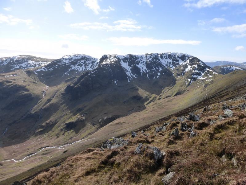
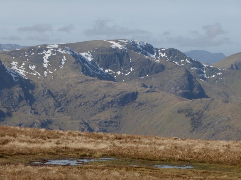
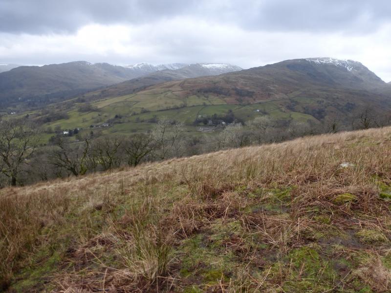
This is one of the classic Lakeland horseshoes which starts and finishes in Ambleside. This is an excellent walk for views on a clear day with the High Street range (across the Kirkstone road) and Helvellyn range very prominent. On a very clear day, the Coniston Old Man range, Langdale Pikes, the Scafells and Great Gable will also be visible plus many more. Many people regard Fairfield as the centre of the Lake District.
Route
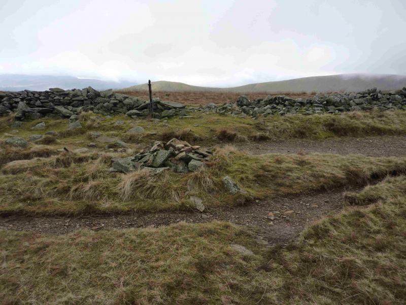
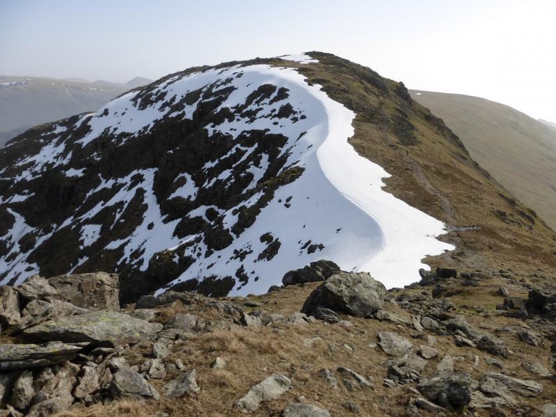
(1) From Nook End Farm, continue on the track which soon crosses Scandale Beck at Low Sweden Bridge. Follow the track, generally N. After about 1 km, the track goes right, to High Sweden Bridge, but a path continues on the ridge. Take the path which shadows a wall to the left. Before too long, it reaches a crag which is not too serious but hands will have to be used. The path splits, offering various routes. The largest “step” is less than 2 m on sound rock with plenty of reassuring hand holds. Continue to reach a small cairn which marks the summit of Low Pike, 508 m.
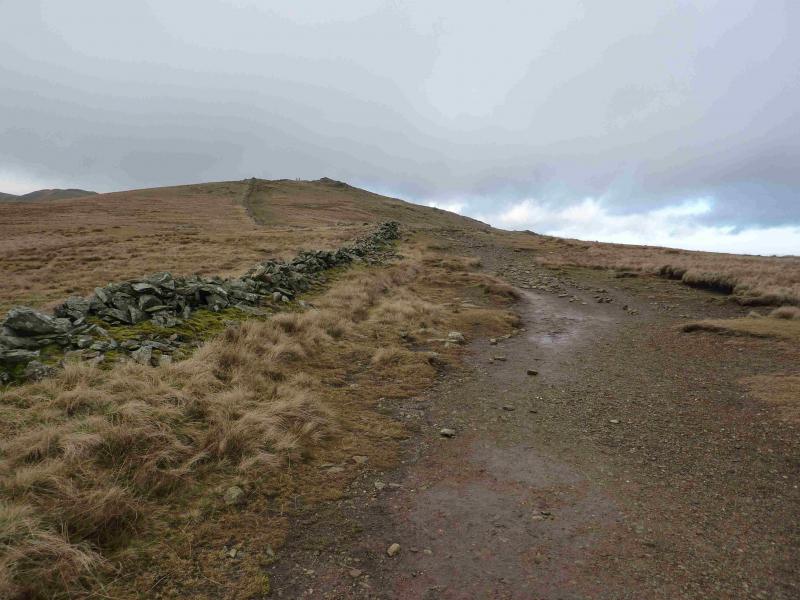
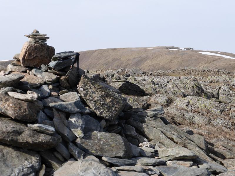
(2) A minimal descent leads to a long gradual climb, still by the wall, which leads up to a medium cairn which marks the summit of High Pike, 656 m.
(3) Another minimal descent leads to another long gradual ascent, still following the wall, up on to a plateau where a medium cairn marks the summit of Dove Crag, 792 m. It is not unusual to see Ravens sitting on the wall near the summit.
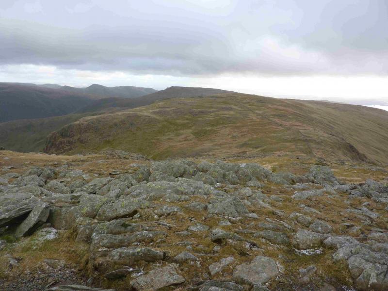
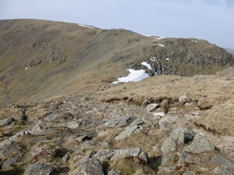
(4) Continue on the path, descending slightly then follow the path up. There is a boulder field so go to the right to find the path and follow it up to the medium cairn which marks the summit of Hart Crag, 822 m.
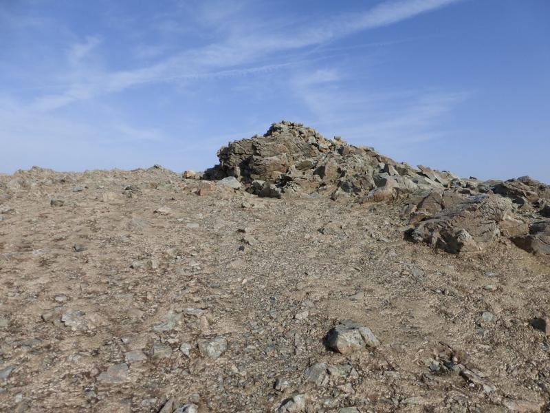
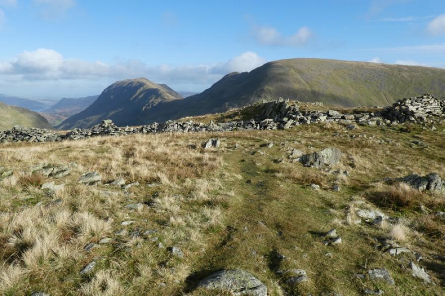
(5) Descend NW to a col then ascend the other side on a path which curves around to the W before swinging NW again to reach a large plateau where there are several cairns and shelter cairns, the highest of which marks the summit of Fairfield, 873 m. Even in clear weather, it is not obvious which cairn is the highest but they are all close together.
(6) Walk S, on an obvious path, descending gently to a col. A gentle ascent leads to a medium cairn which marks the summit of Great Rigg, 766 m.
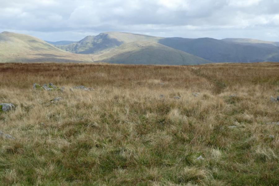
(7) Continue S, still on a good path, descending gently to a long undulating shoulder which passes a top with a small cairn. This is unnamed but could be called Erne Crag, 615 m. Continue along the undulating shoulder to the next top where a medium cairn marks the summit of Heron Pike, 612 m. Along this section, there are good views of Grasmere.
(8) Continue S, still on the obvious path. After about 1 km, the path goes SE and descends Nab Scar. This, technically, has a summit, Nab Scar, 440 m, which is just before the path changes direction. There is a cairn but most walk past without noticing it. Continue down the path, steep and stepped in places to reach a track by Rydal Mount where there is a tea shop in season. Follow the track SSE to a left turn signed for another tea shop at Rydal Hall. Follow this track, pleasantly, for about 1 km, until it joins the main road just short of Ambleside.
Notes
(a) This walk took place on 21st May, 2014.
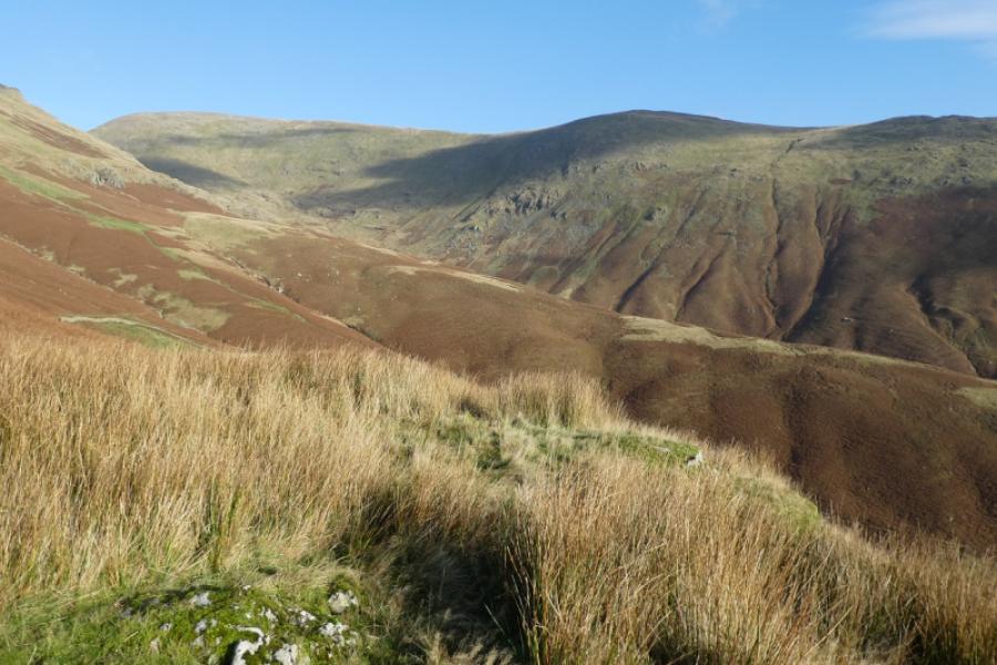
Photos - Hover over photo for caption. Click on to enlarge. Click on again to reduce.