Get Lost Mountaineering
You are here: Scotland » 02 River Tay to Rannoch Moor » North of Glen Lyon to Pitlochry
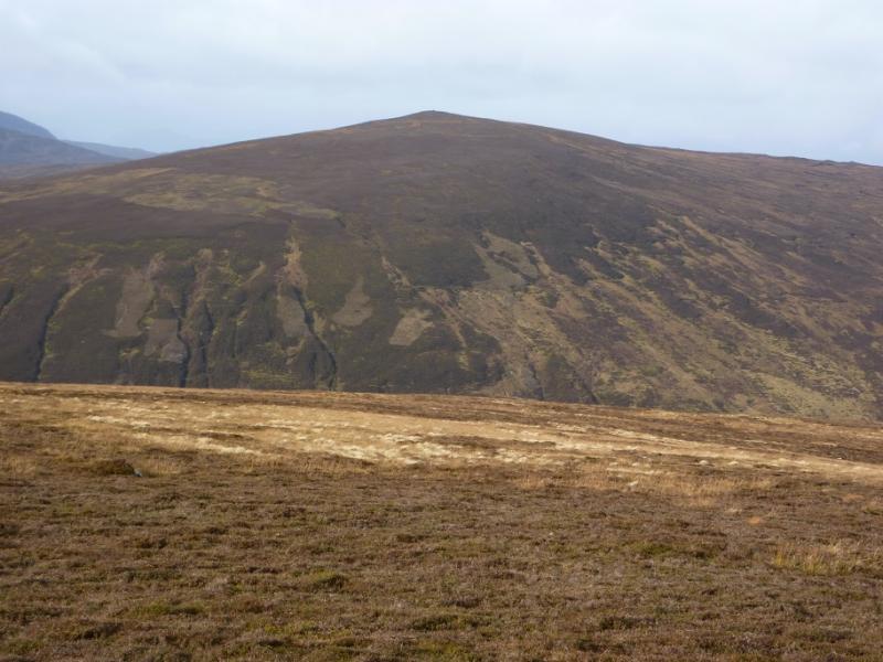
Beinn Dearg & Meall a' Mhuic
Beinn Dearg and Meall a’ Mhuic from Innerwick in Glen Lyon.
Start/Finish
Innerwick in Glen Lyon which is just under 2 km from the Bridge of Balgie which can be reached by driving over the high road from Loch Tay. There is plentiful parking, a picnic area with tables and toilets, all of which have been kindly provided by the Meggernie Estate who have also put up useful information boards. Please treat these facilities with respect.
Distance/Time
14 km Approx 5 hours
Peaks
Beinn Dearg, 830 m, NN 609 497.
Meall a’ Mhuic, 745 m, NN 579 508. OS Sheet 51.
Introduction
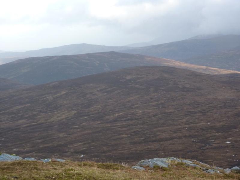
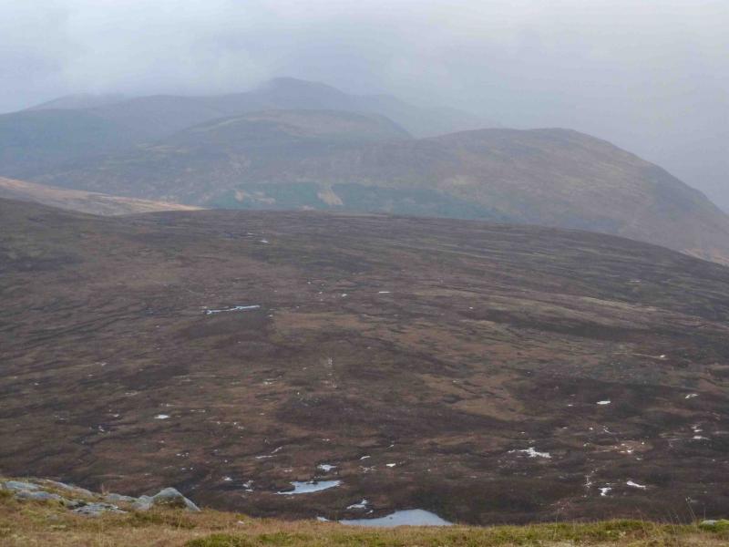
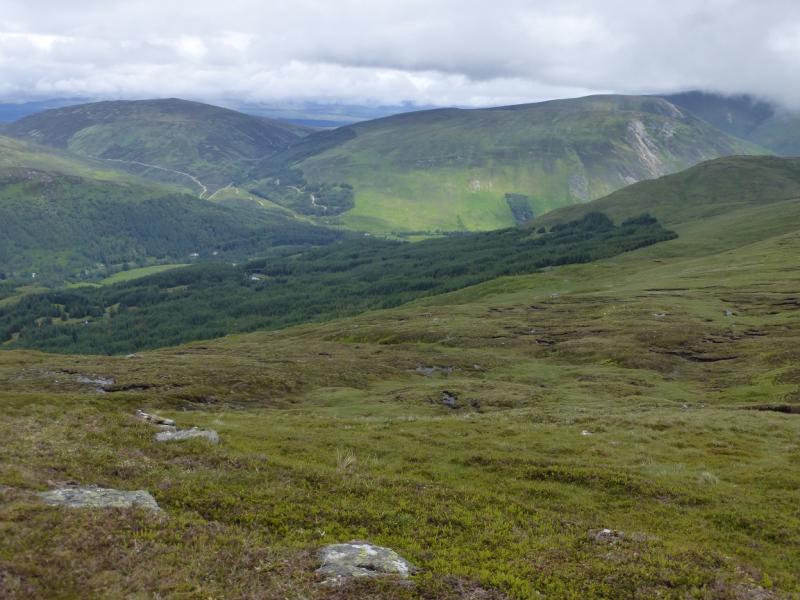
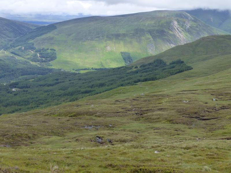
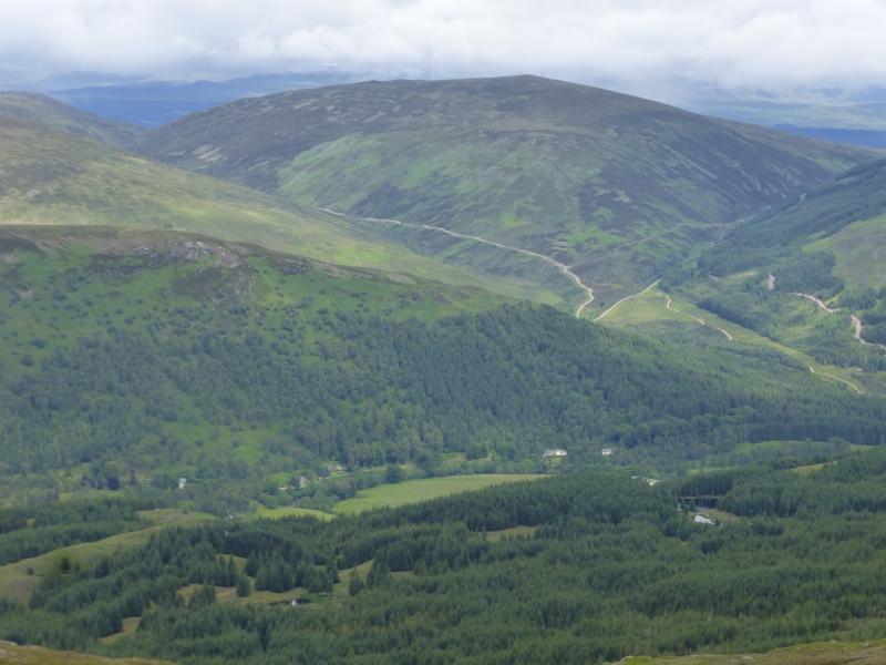
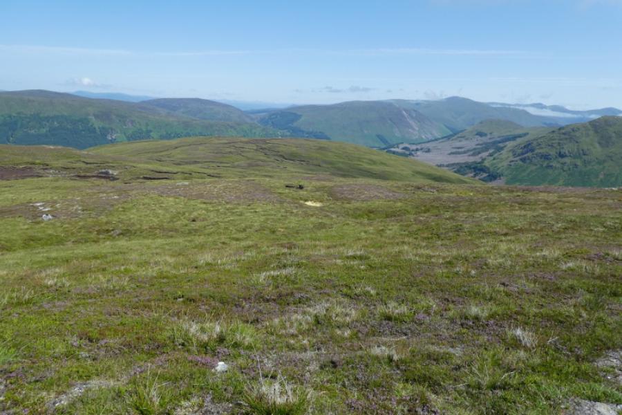
This is a pleasant walk, over mixed ground, which offers fairly quick access and fine views in all directions including the Ben Lawers range, the Glen Lochay hills, the Glen Lyon hills and further. There is a good land rover track to just below Beinn Dearg and a reasonable ATV track, then land rover track down Meall a’ Mhuic. All burns are crossed by bridges except the one between Beinn Dearg and Meall a’ Mhuic which is high up the glen so should not present any problems in crossing, even in spate.
Route
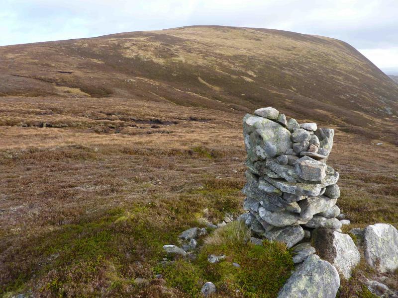
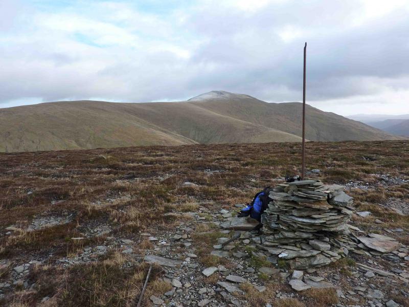
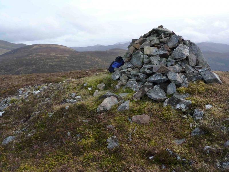
(1) From the car park, cross the river using the road bridge and turn up the track (signposted to Loch Rannoch) just after the war memorial. Follow this good land rover track up the glen for just over 2 km then take a track on the right into the upper forest. This is shown on the 1988 map. When the zig-zagging track leaves the forest through a gate, follow it, now as an ATV track, up the edge of the forest to its NE corner. One option is to head ENE over pathless ground, passing to the S of Meall Glas, then look for a line of old fence posts going up the NW ridge of Beinn Dearg. Alternatively, follow the ATV track S above the forest and, within 100 m, a faint branch goes left then swings uphill towards a grassy ridge running S from Meall Glas. This gives slightly better going underfoot than the other option. The ATV track finally peters out close to the crest of this crest where there is a cairn on its E side. From here, walk N, curving around to E, to join the aforementioned line of fence posts alongside which runs a distinctive path. Follow the straight line of fence posts up to a corner on the summit plateau. Walk straight on for about 100 m to reach the medium cairn which is the summit of Beinn Dearg, 830 m. There is another cairned top, slightly lower, which can be reached by following the line of fence posts for about 50 m round the corner.
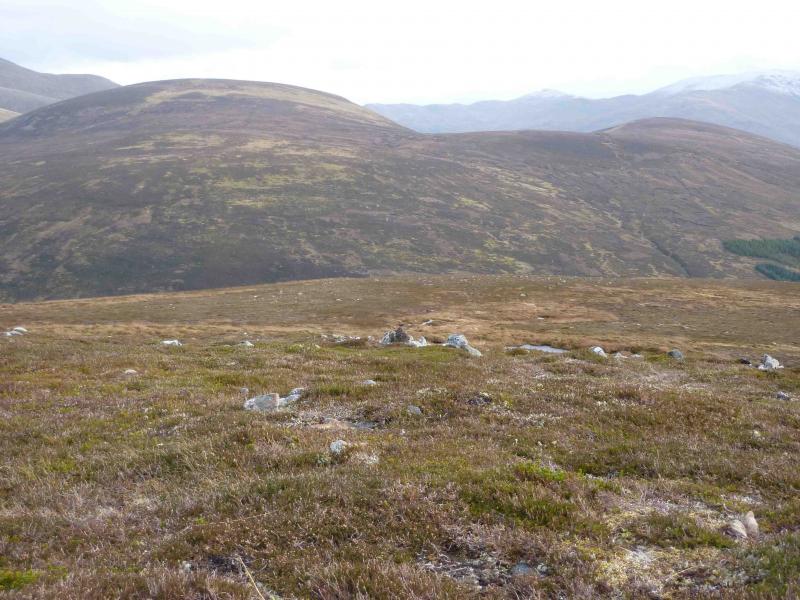
(2) Retrace down the line of fence posts to Meall Glas, crossing a shallow, peaty, boggy bealach just before the short ascent to Meall Glas which has a small cairn. Descend roughly NW to reach the outward track high up the Lairig Ghallabhaich but well below its summit. Descend to the burn which should be crossed without difficulty even in spate conditions. Pick a way up the heathery slopes of Meall a’ Mhuic where there are plenty of grassy corridors to ease the ascent. Within an hour, reach the medium cairn which is the summit of Meall a’ Mhuic, 745 m.
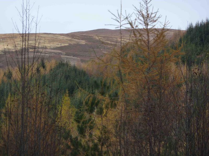
(3) Descend S on a reasonably well defined but broad ridge to eventually reach an ATV track which soon becomes a well defined land rover track, shown on the 1988 map. Lower down this track merges with another coming down the glen to the W of Meall a’ Mhuic then crosses a burn via a bridge. Go straight on here, down an old grassy track with the river on your right, to join the outward track just before the road in Glen Lyon.
Notes
(a) This walk took place on 5th August, 2008 and 3rd November, 2010.
Photos - Hover over photo for caption. Click on to enlarge. Click on again to reduce.