Get Lost Mountaineering
You are here: Scotland » 04 Loch Leven and Loch Linnhe to Loch Ericht » Mamores to Corrour
Central Mamores: Ring of Steall: Sgurr a' Mhaim, Am Bodach, Stob Coire a' Chairn & An Gearanach
Central Mamores: Ring of Steall: Sgurr a' Mhaim, Am Bodach, Stob Coire a' Chairn & An Gearanach from Glen Nevis
Start/Finish
Car park at end of Glen Nevis road. This can fill up quite quickly so it is best to arrive early.
Distance/Time
15 km About 9 hours
Peaks
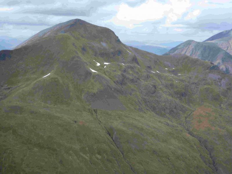
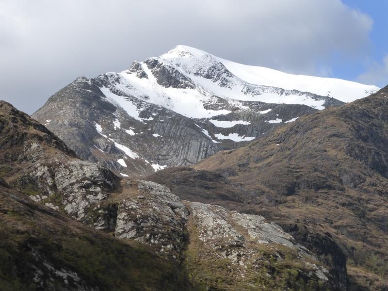
Sgurr a' Mhaim, 1099 m, NN 164 667.
Stob Choire a' Mhail, 990 m, NN 163 659.
Sgor an Iubhair, 1001 m, NN 165 655.
Am Bodach, 1032 m, NN 176 650.
Stob Coire a' Chairn, 981 m, NN 185 660.
An Garbhanach, 975 m, NN 188 665.
An Gearanach, 982 m, NN 187 669. OS Sheet 41.
Introduction
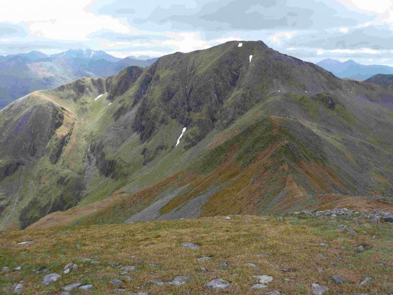
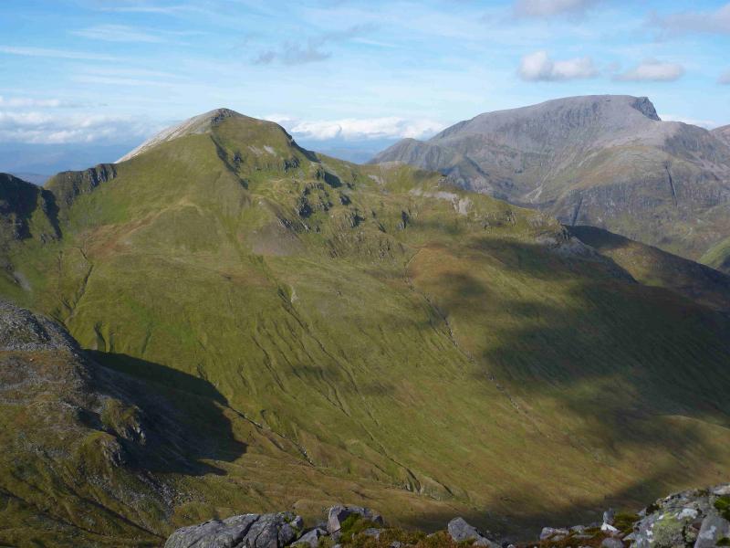
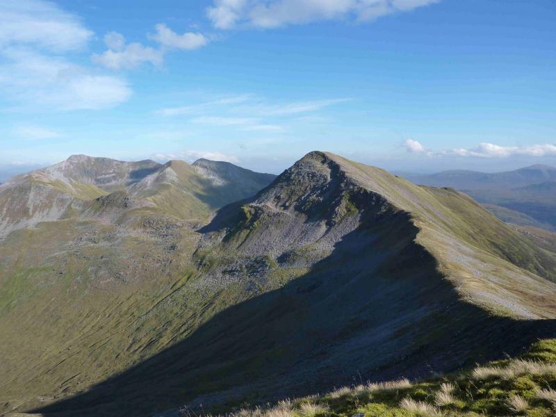
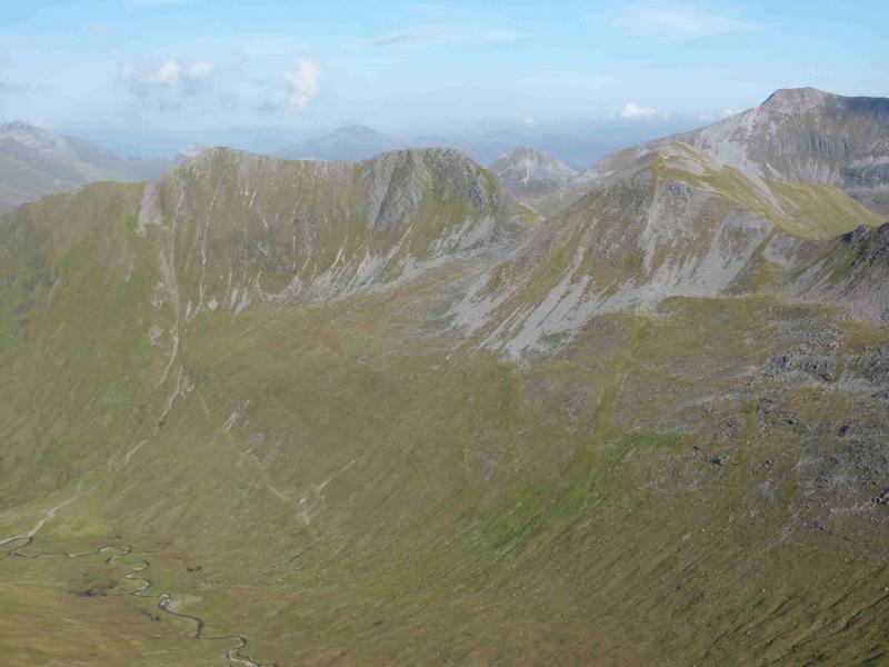
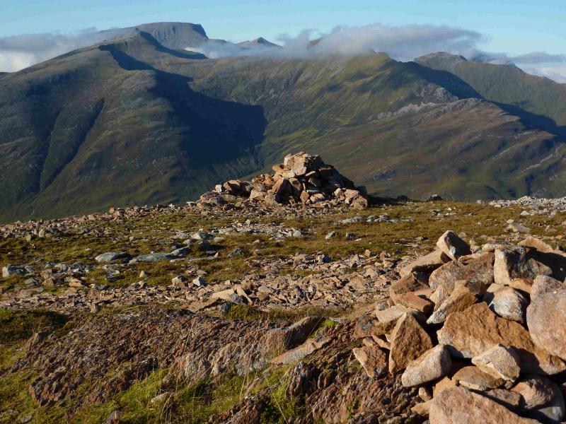
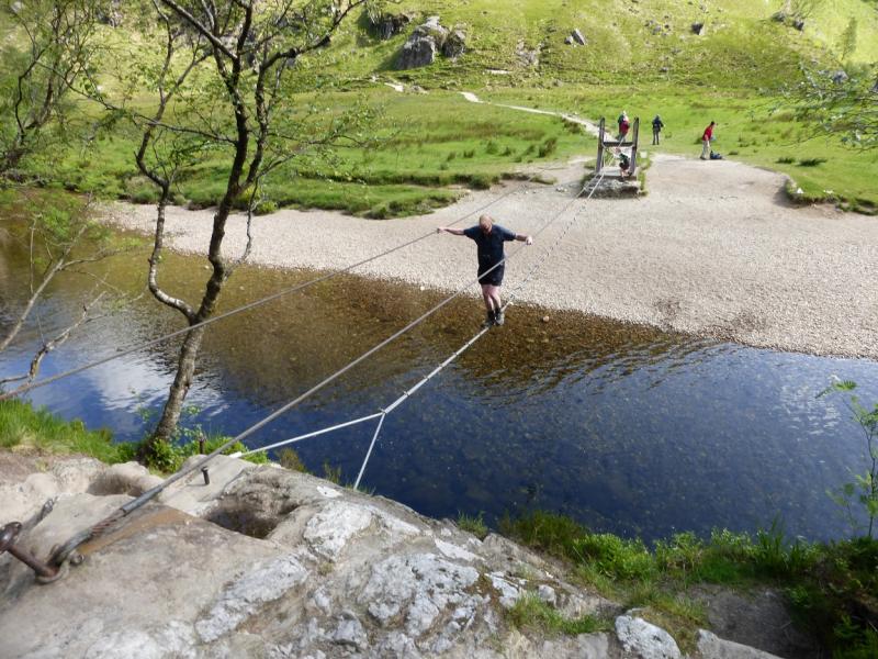
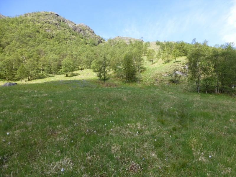
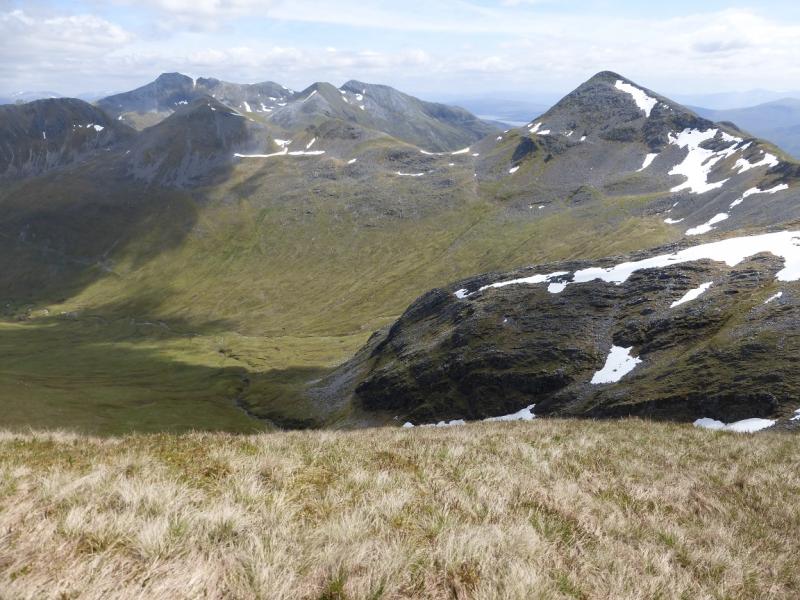
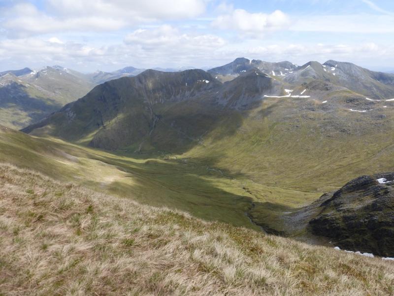
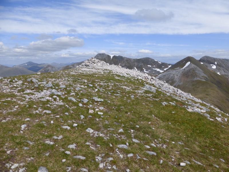
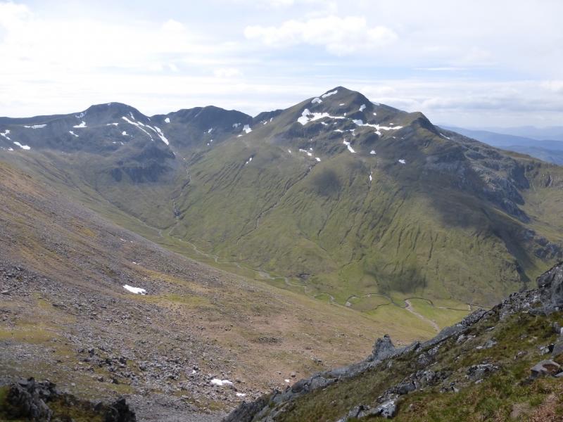
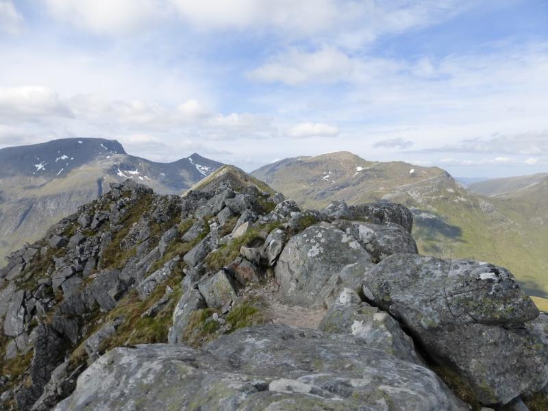
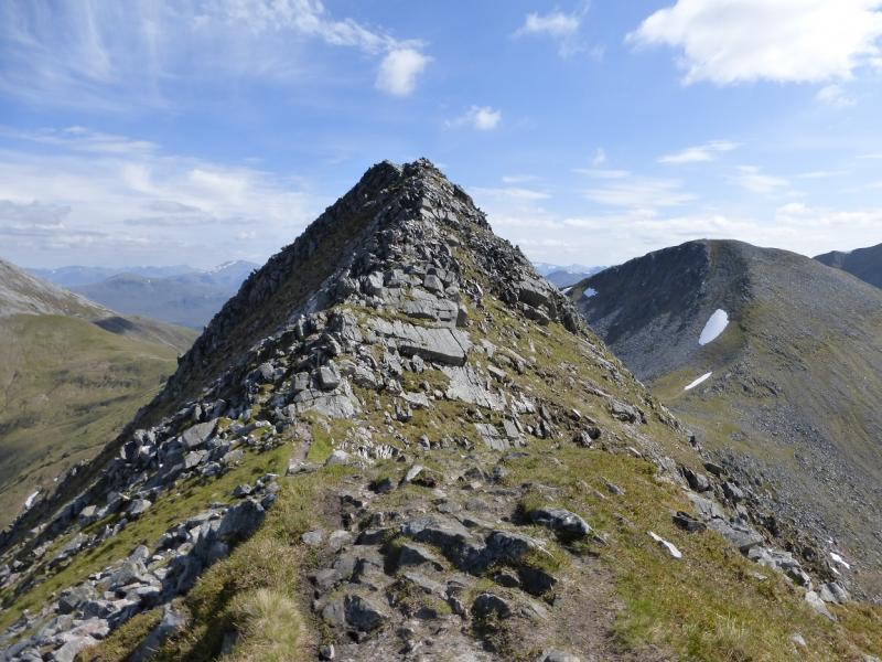
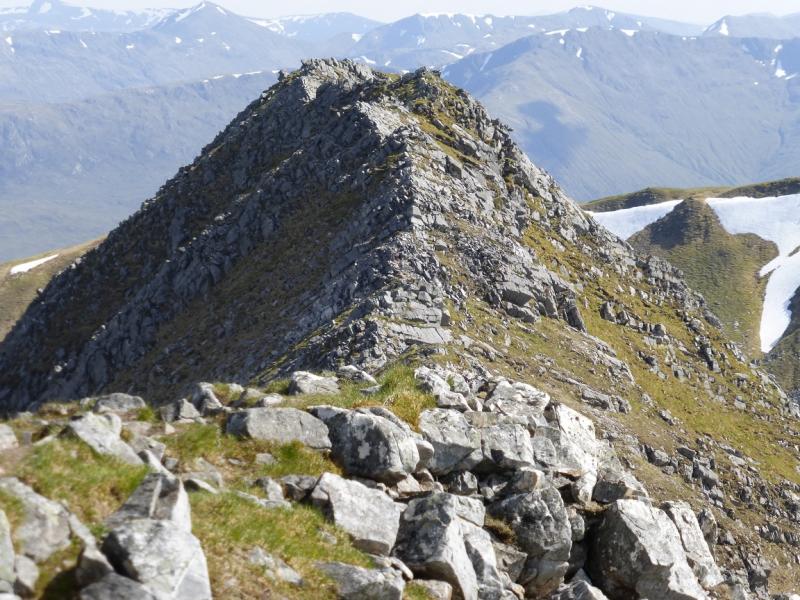
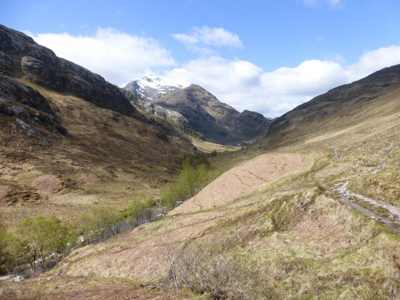
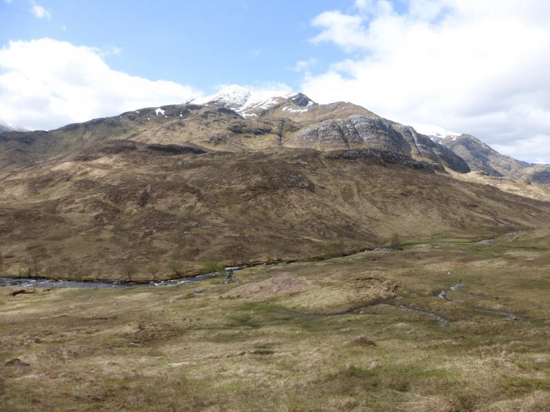
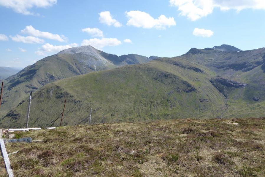
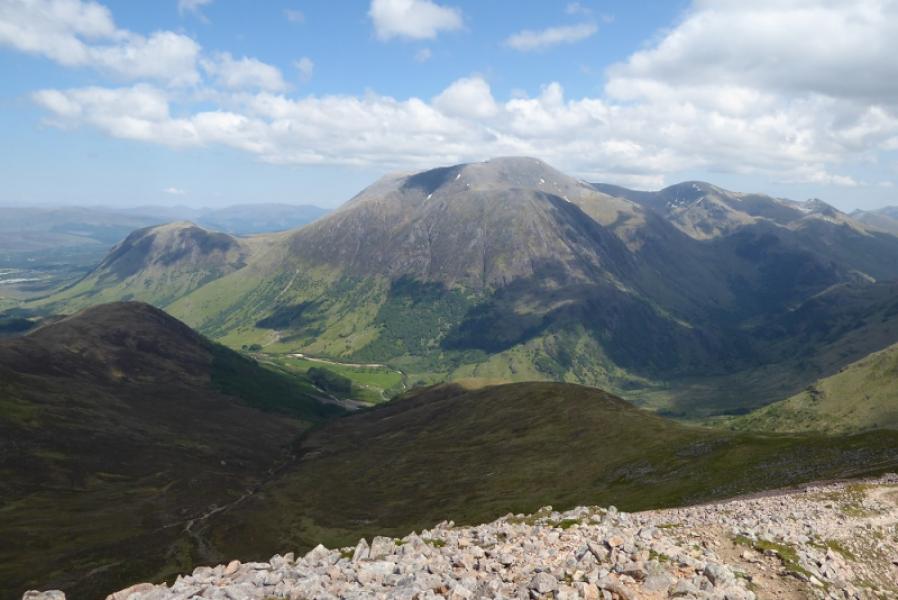
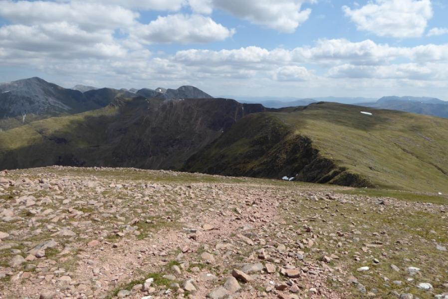
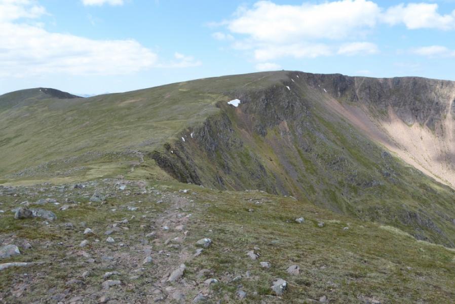
This is one of the classic walks in the Scottish HighlandsOutstanding. It is rough and tough in places with a steep ascent from Glen Nevis at the start and a steep descent at the end. In between, it is nearly all ridge walking – some of it on a narrow rocky ridge. There are outstanding views in all direction from this walk but especially to Ben Nevis, Aonach Beag, Binnein Mor and Stob Ban. More distant hills such as Schiehallion and Buachaille Etive Mor can also be seen on very clear days so save this walk for a good clear day. The ascent route for Sgurr a' Mhaim may not be the one in most guide books but it does avoid the woodland around Steall where the river usually has to be crossed by a wire bridge which some my find unnerving. All of the peaks listed above are quite distinctive apart from An Garbhanach which is, essentially, just a ridge extension of An Gearanach. From An Garbhanach to An Geranach, there is hardly a drop. Sgurr a' Mhaim is well seen down Glen Nevis from the Mallaig road. This route follows the edge containing “The Devil's Ridge”. In summer, this should not cause problems as an easy path goes into and out of the gap.
Route
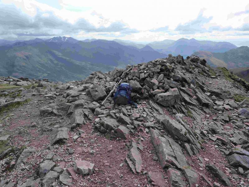
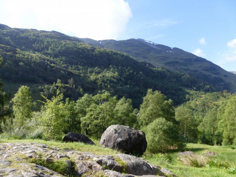
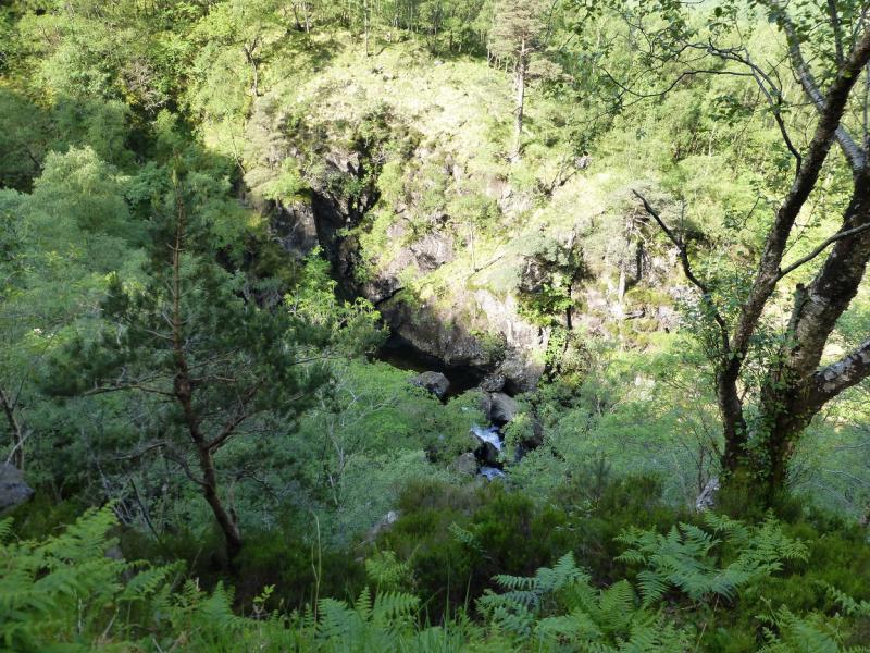
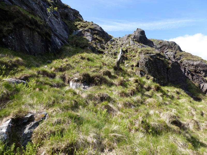
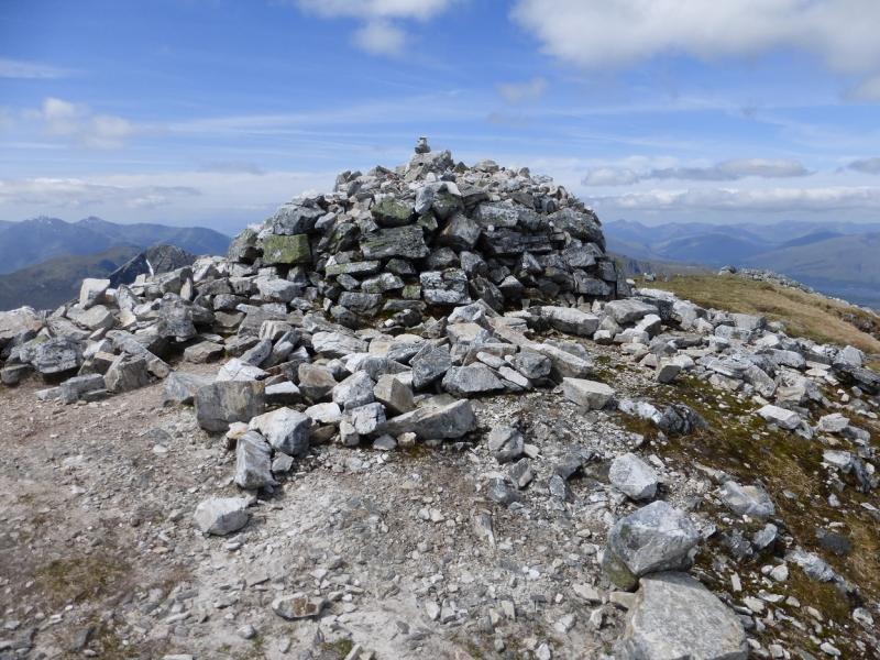
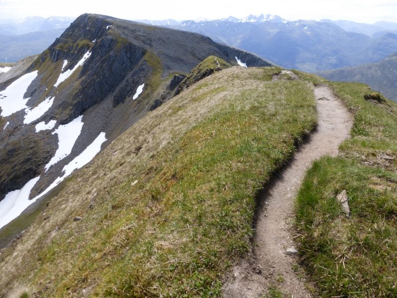
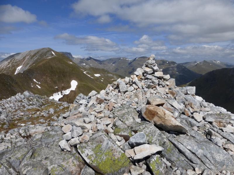
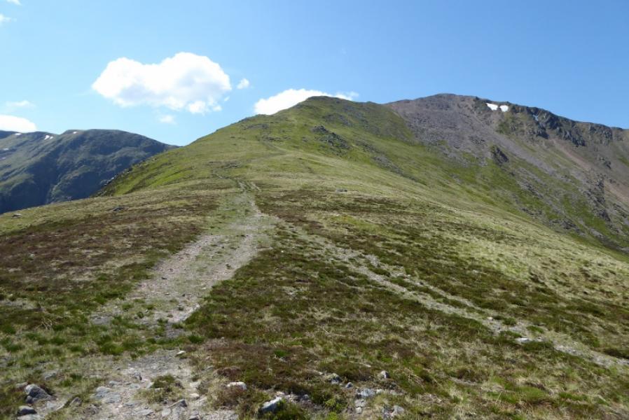
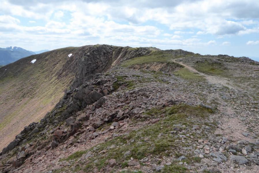
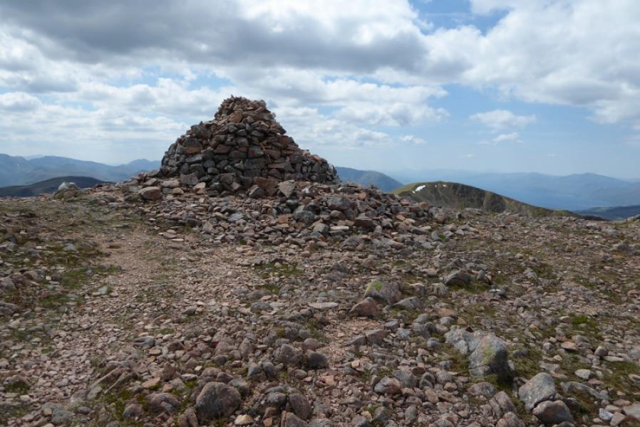
(1) Take the path from the car park to Steall. Part of the path lies above a very steep and rocky gorge. When it emerges from the wood on to a meadow, cross the wire bridge over the river. Turn right and follow a faint path up a broad grassy strip with few trees. Gain the ridge seen above and follow it SE then SW high up on to Sgurr a' Mhaim. The final section is along a corrie rim where there is some exposure. This can be avoided by crossing the bottom of the corrie and ascending the other corrie rim. Eventually, reach a large cairn which marks the summit of Sgurr a' Mhaim, 1099 m.
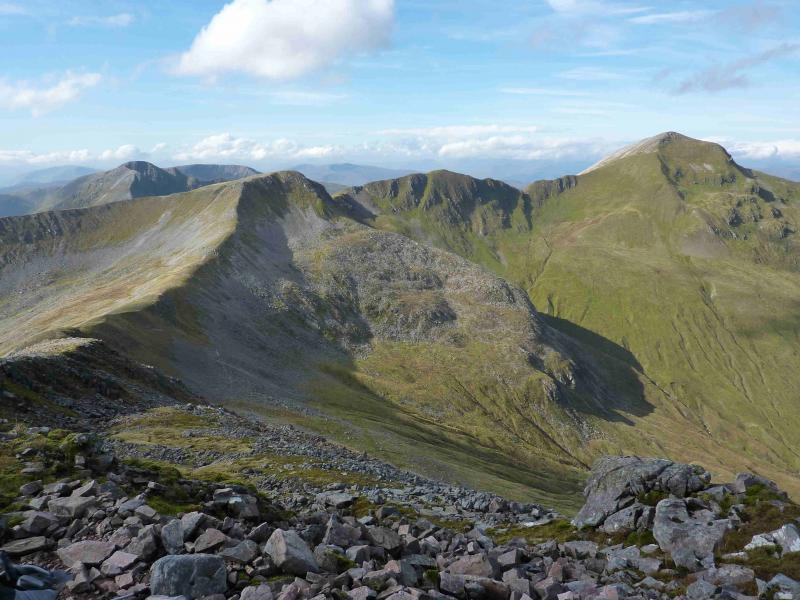
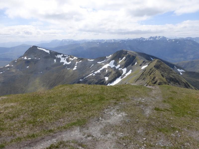
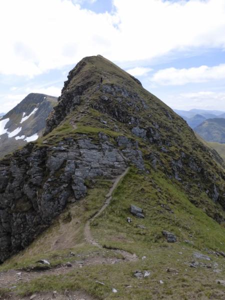
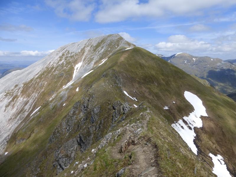
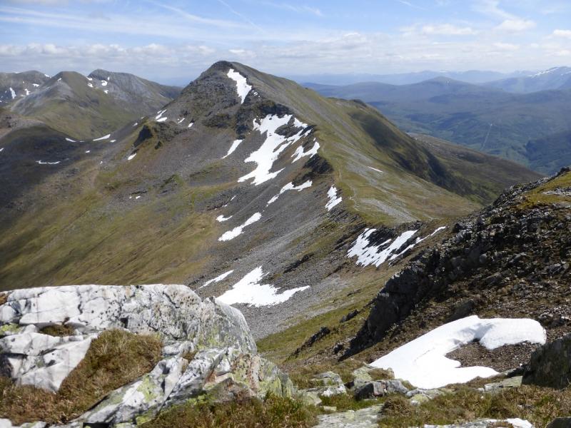
(2) Descend the obvious path on the S ridge. An easy dip is crossed then the dip known as “The Devil's Ridge” is reached which has an easy path into and out of its gap. On the other side, climb fairly steeply up a narrow ridge to reach a grassy top, with no cairn, which is the summit of Stob Choire a' Mhail, 990 m.
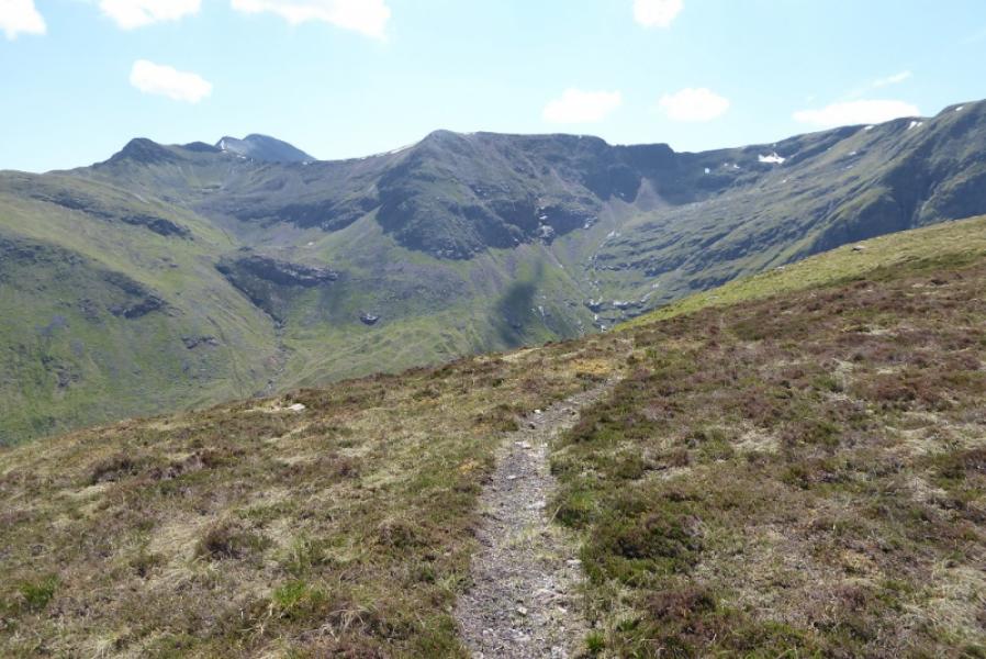
(3) Continue along the ridge, descending easily to a broad bealach. A longer ascent up the other side leads to a medium cairn which marks the summit of Sgor an Iubhair, 1001 m.
(4) The crest path now descends E, down to a long bealach, then ascends stony slopes to reach the summit ridge where a medium cairn at its NW end marks the summit of Am Bodach, 1032 m.
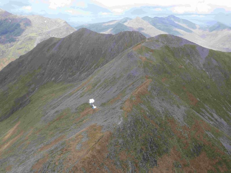
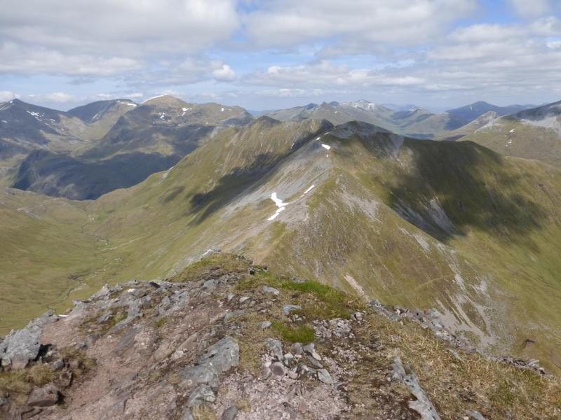
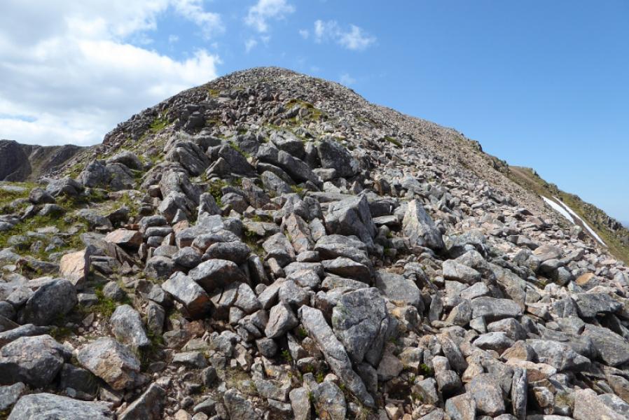
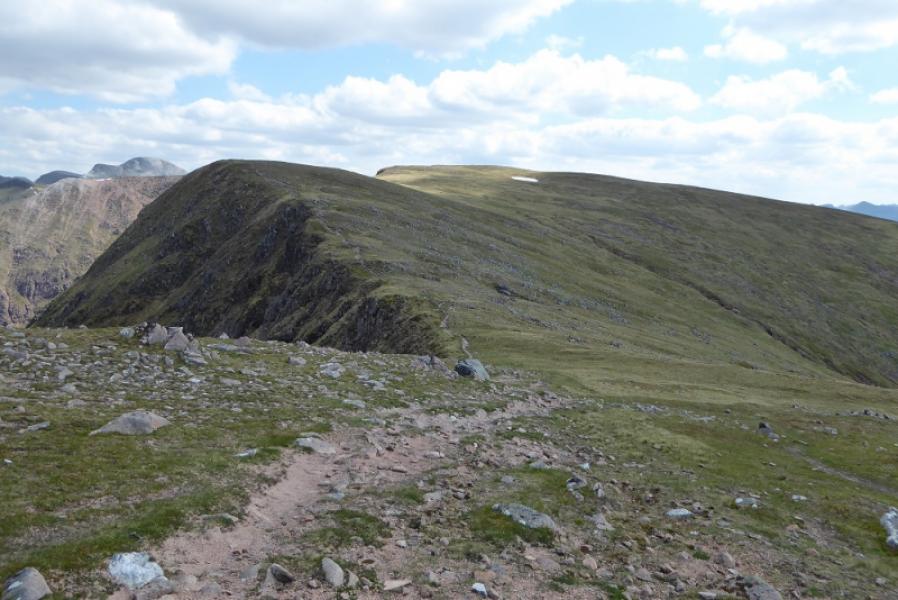
(5) The descent path, NE, from Am Bodach is obvious but is steep and eroded so descend carefully down to a bealach on a narrow crest. Go over an unnamed, but cairned, top then ascend the crest to reach a large cairn which marks the summit of Stob Coire a' Chairn, 981 m.
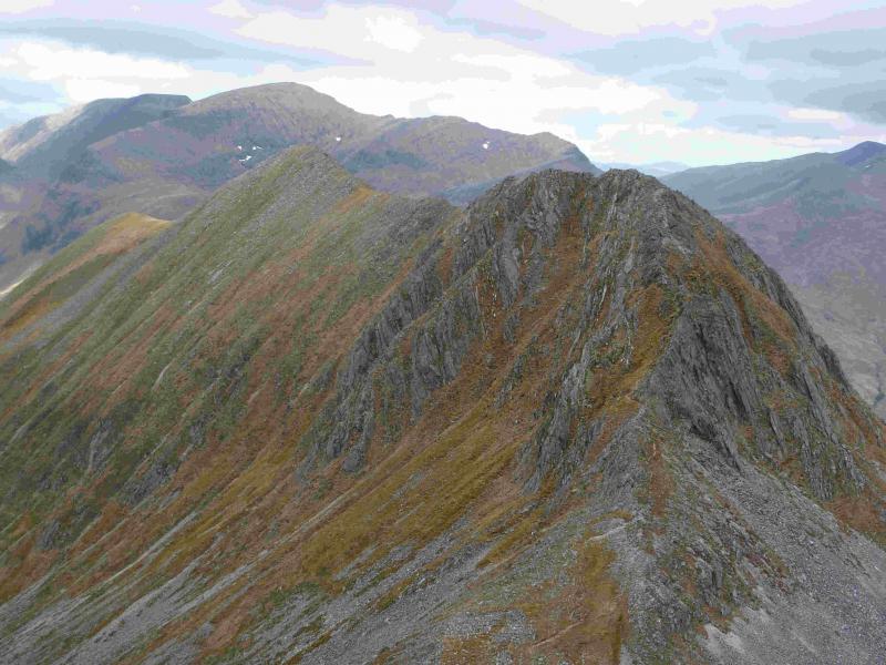
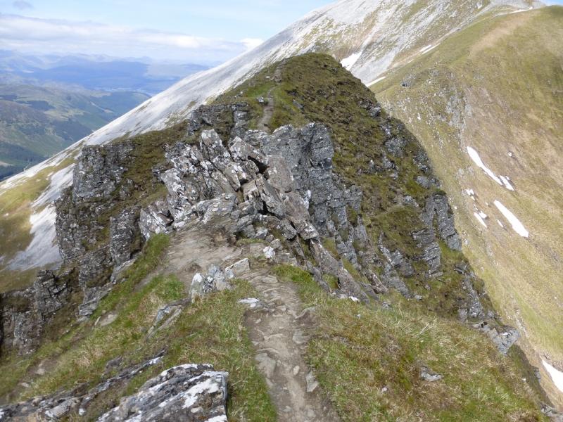
(6) Descend N then NE down a loose stony path to another dip on the ridge. Ascend an increasingly rocky nose, with a path as an alternative option to the crest, to reach the rocky crest which is quite exposed but there is at least one avoiding path for much of its length. There seems to be no cairn but the highest point is at the S end which will be An Garbhanach, 975 m.
(7) Reach the end of the rocky crest then a short ascent leads to a medium cairn which marks the summit of An Gearanach, 982 m.
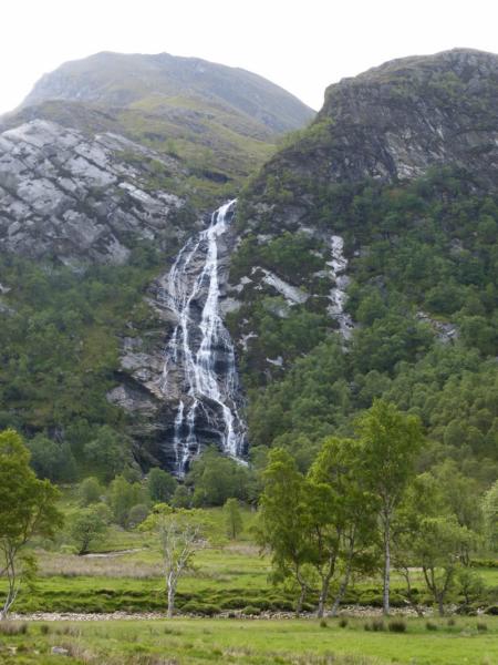
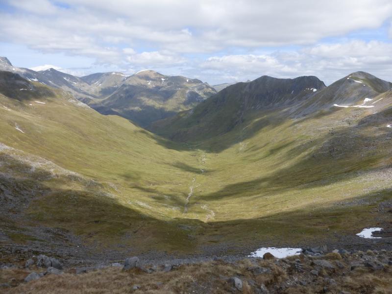
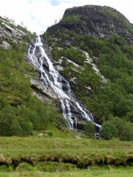
(8) The path going N down to Glen Nevis is obvious but of varying quality. In places, it is steep, loose and eroded. Follow it down a mainly grassy ridge. Lower down, it swings right, E, into a corrie. Much lower down, it is quite badly eroded. Almost at the bottom, it crosses a minor stream. If the river is low, it should be possible to cross over at the wide section before Steall. If not, cross the stream below Steall waterfall – not easy in spate – then cross the wire bridge and walk back through the gorge to the start.
Notes
(a) This walk took place on 3rd June, 1994, 23rd August, 1999, and 31st May, 2014.
Photos - Hover over photo for caption. Click on to enlarge. Click on again to reduce.