Get Lost Mountaineering
You are here: Scotland » 10a Morvern, Sunart, Ardgour and Moidart » Loch Linnhe to Loch Shiel
Meall an t-Slamain
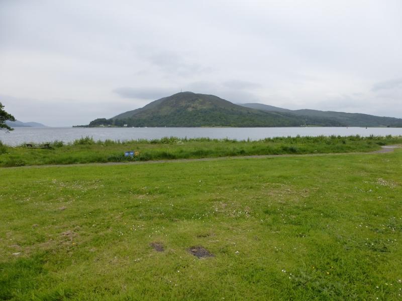
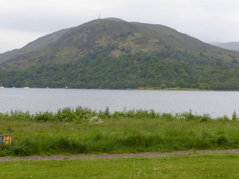
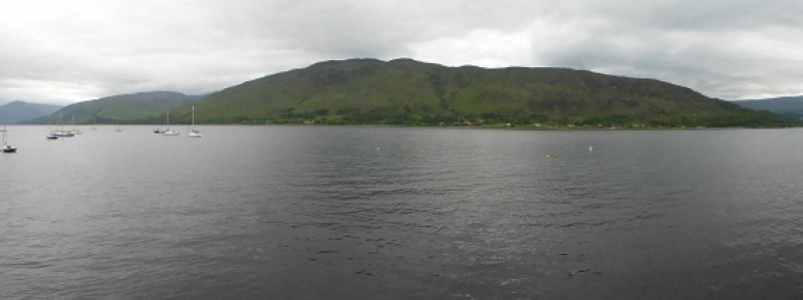
Meall an t-Slamain from Achaphubuill on A861 on west side of Loch Linnhe
Start/Finish
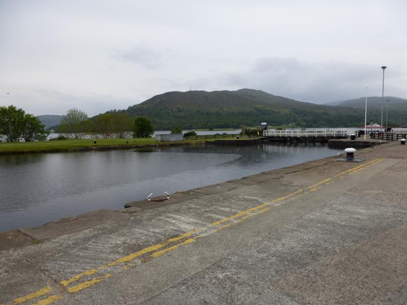
Achaphubuill, where there is a line of houses and plenty of street parking. From Fort William, take the Mallaig road, A830, to the west end of Loch Eil then take the A861 back along the other side of Loch Eil. Achaphubuill is the first line of houses and is by The Narrows, the strait between Loch Linnhe and Loch Eil. On the other side of Loch Eil is a large wood processing plant. If approaching from the Corran Ferry then drive north east around the corner of Loch Linnhe to Loch Eil, passing Stronchreggan and Camusnagaul on the way, to reach the line of houses at Achaphubuill.
Distance/Time
8 km. About 4 hours.
Peaks
Meall an t-Slamain, 467 m, NN 070 739. OS sheet 41.
Introduction
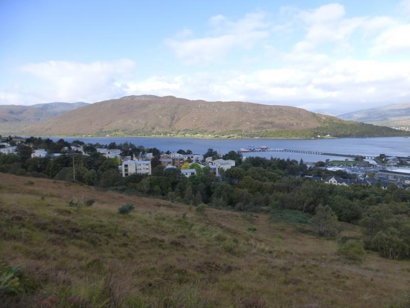
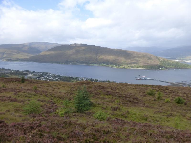
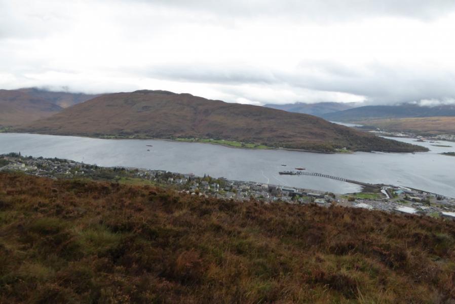
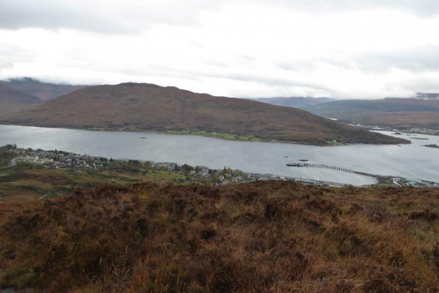
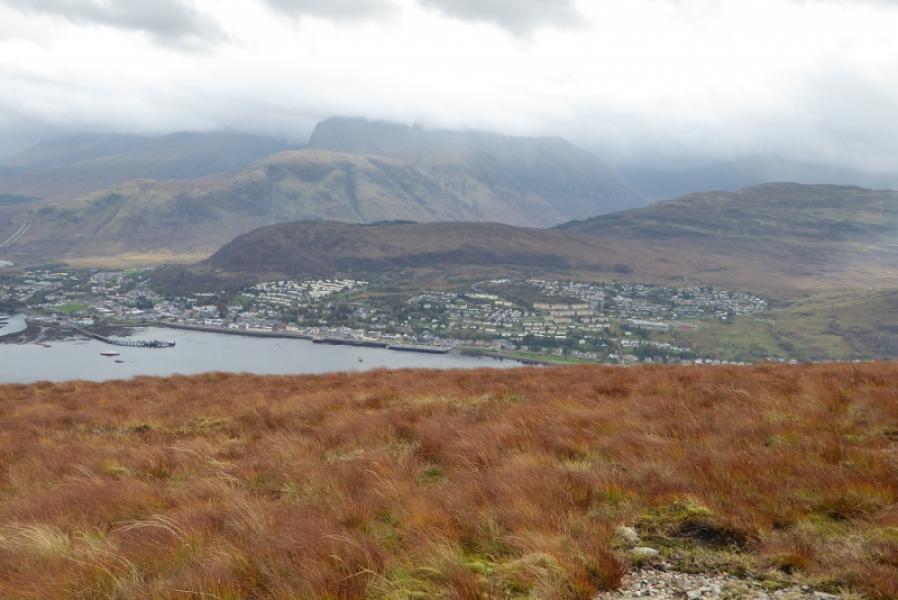
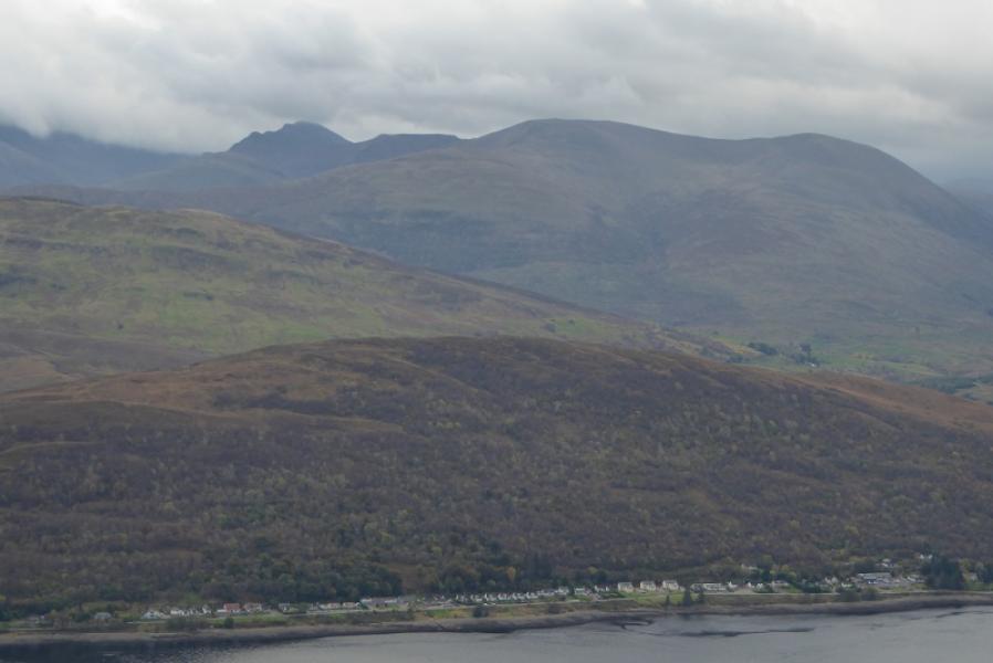
A straight forward short walk, which gives excellent views of the surrounding mountains and across Loch Linnhe especially to Ben Nevis. It is worth saving this mountain for a good day. The access track is not shown on the 1991 map but is on later editions.
Route
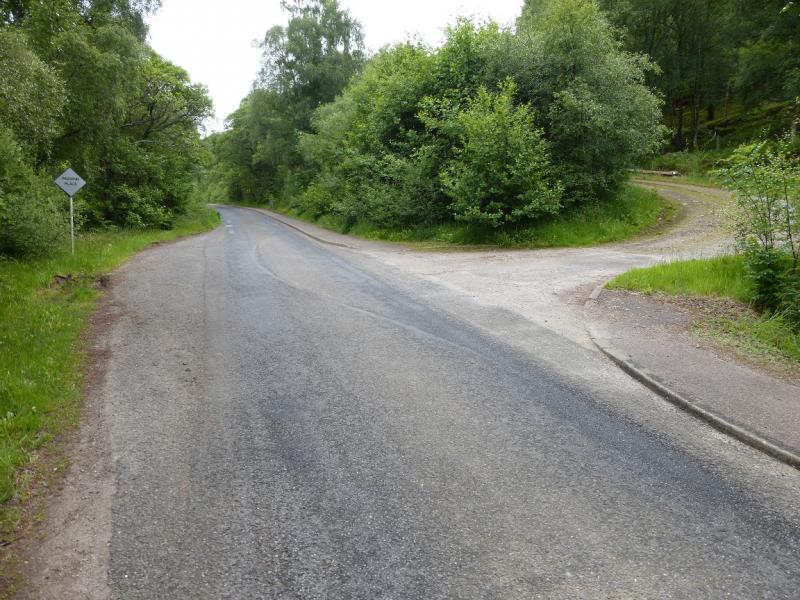
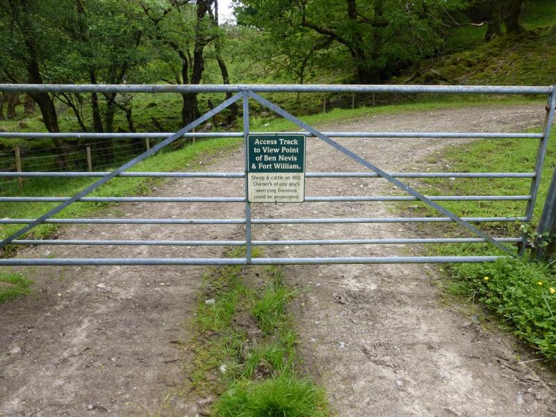
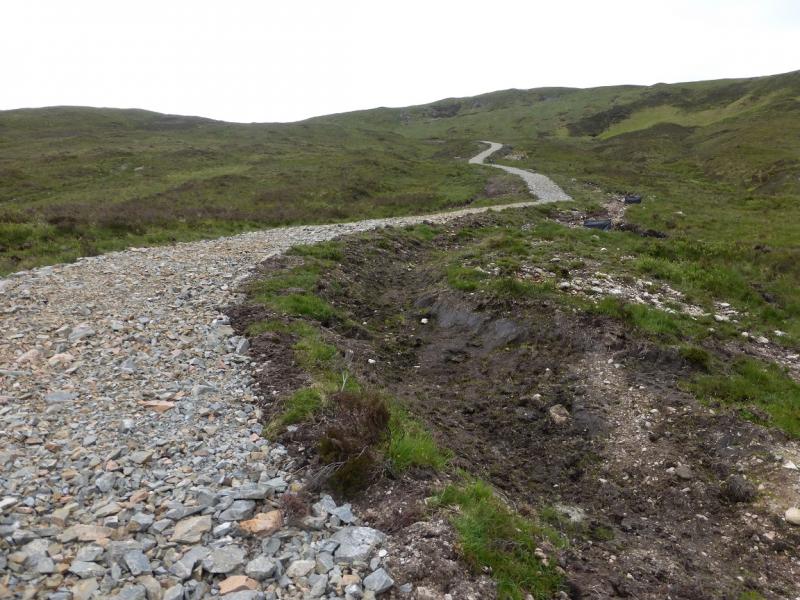
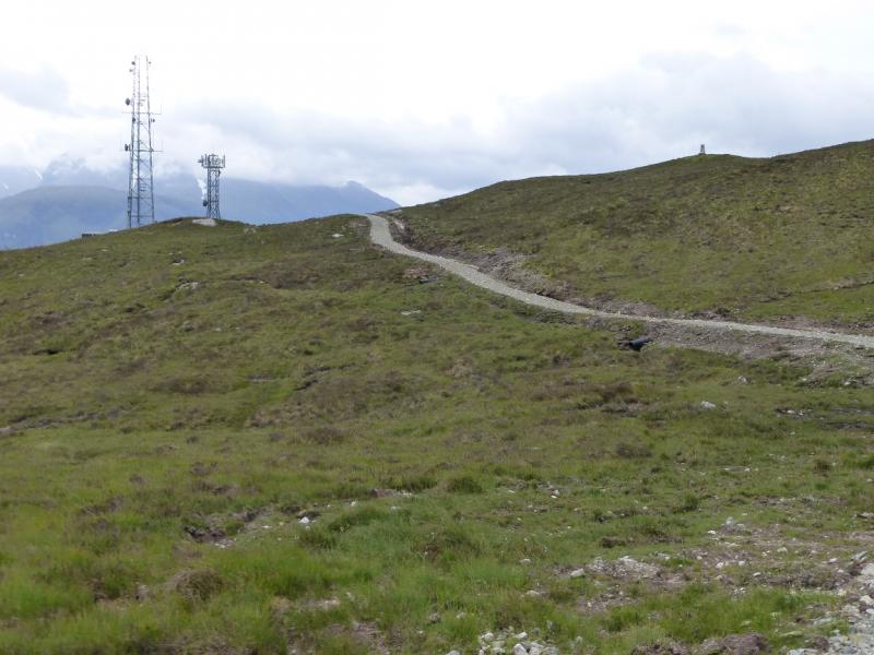
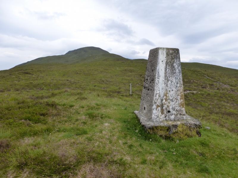
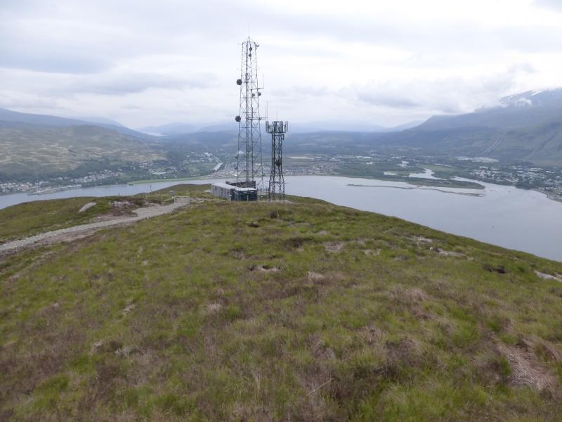
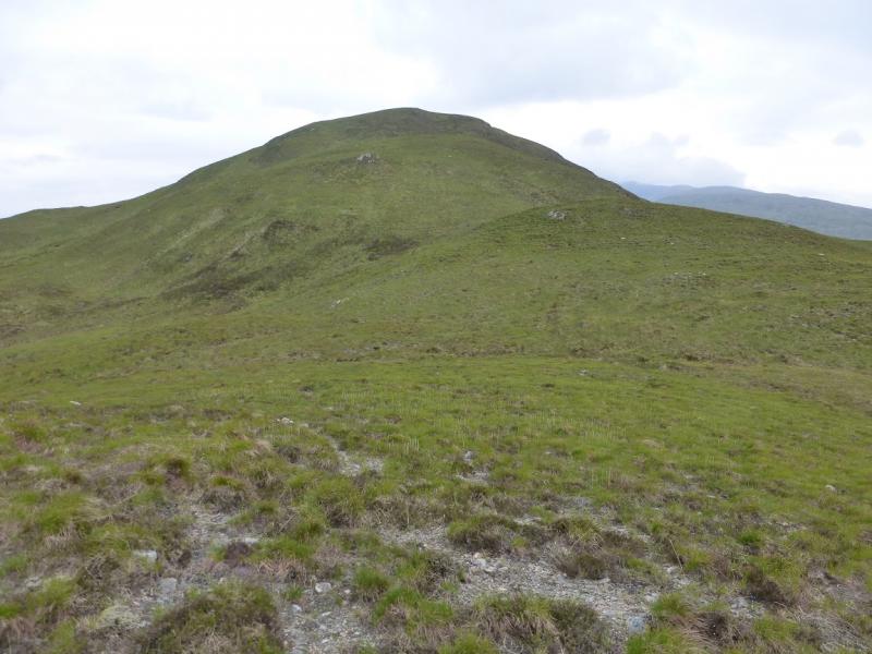
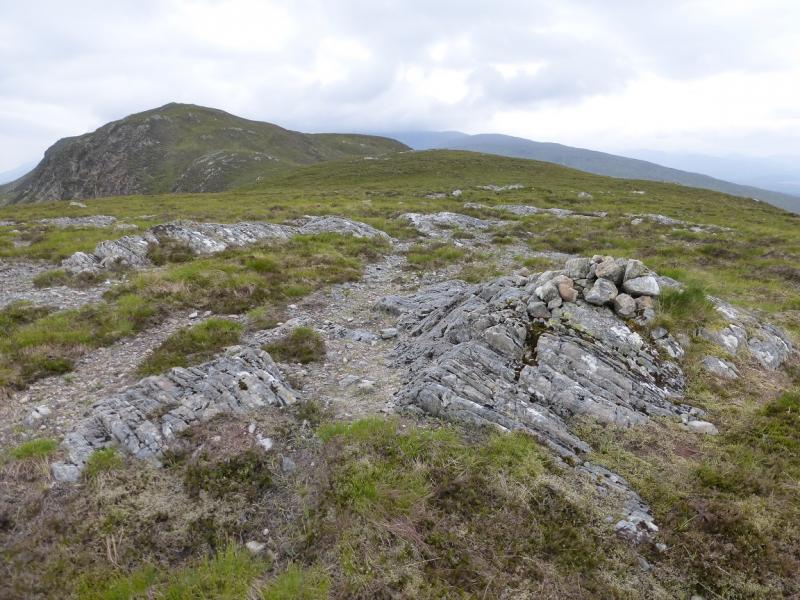
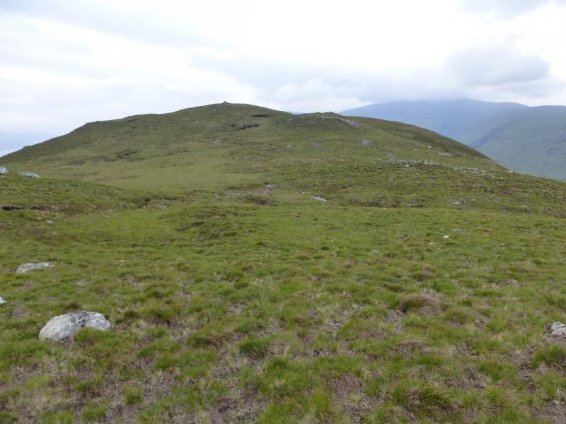
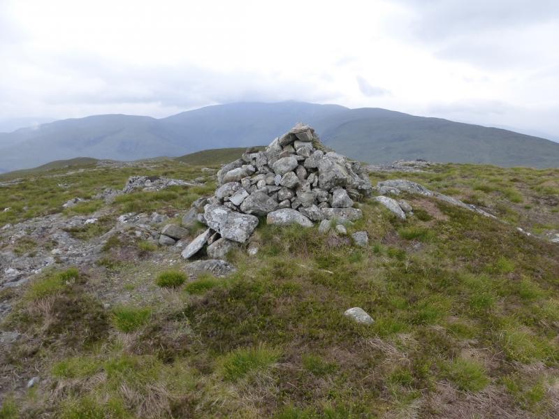
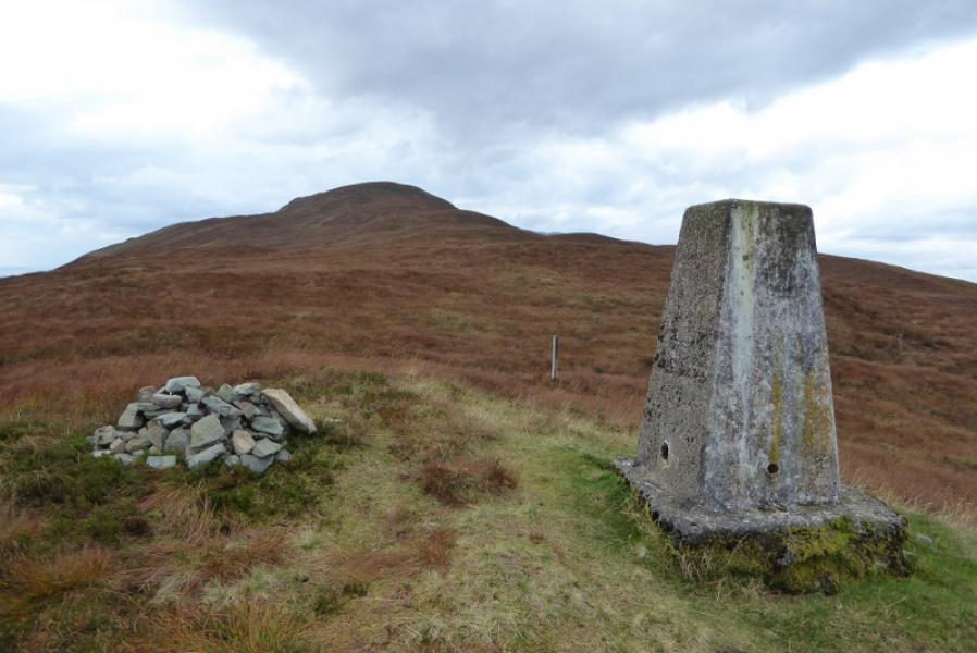
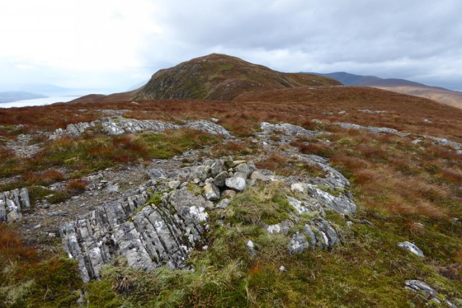
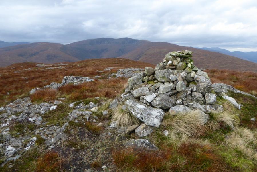
(1) Walk E from Achaphubuill for a few hundred metres to reach the second lay by on the left after the end of the houses. Opposite this, a track starts up the hill. Follow this to the first gate where there is a notice saying it is an access track for the viewpoint for Ben Nevis and Fort William. Further up the track there is a locked gate and a stile, after which the track becomes compressed gravel and steepens. This leads to the aerials with a trig point nearby at a height of 291 m. From here there is no more than the occasional hint of a path but the ground is easy to walk. Ascend SW up a reasonably well defined grassy ridge. Some of the minor tops have small cairns on them. The summit is set well back so not seen until some of these minor tops have been passed. The final climb is a touch steeper and leads to a medium cairn which marks the summit of Meall an t-Slamain, 467 m.
(2) Retrace the outward route.
Notes
(a) This walk took place on 1st June, 2014, and 19th October, 2017.
Photos - Hover over photo for caption. Click on to enlarge. Click on again to reduce.