Get Lost Mountaineering
You are here: Scotland » 12 Glen Cannich to Glen Carron » Cannich & Loch Mullardoch to Loch Long
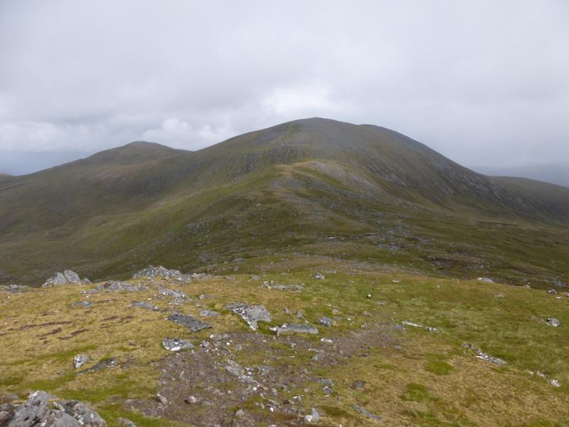
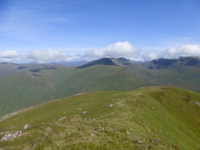
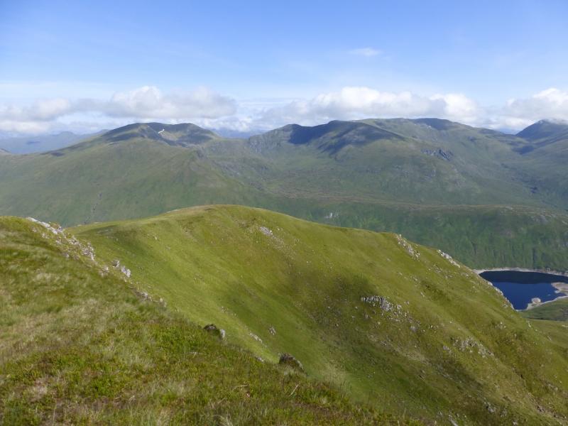
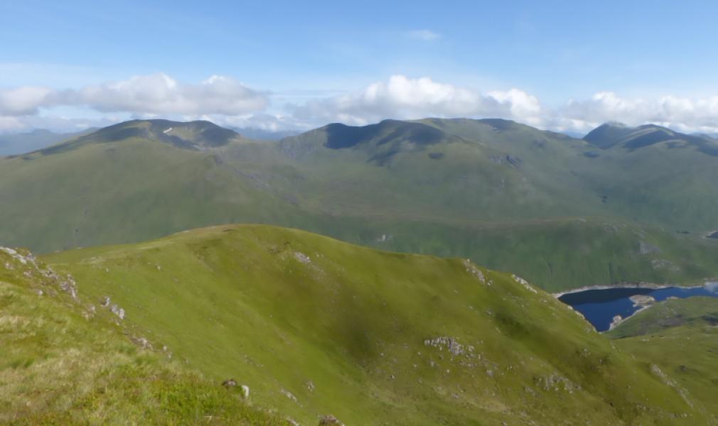
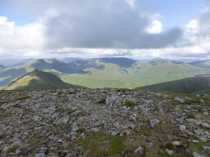
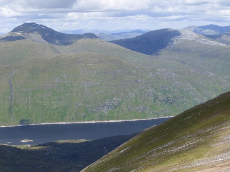
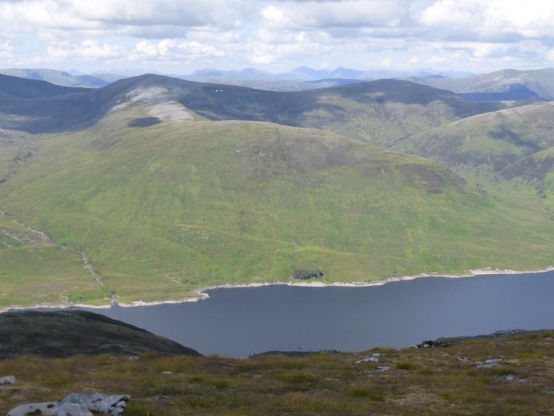
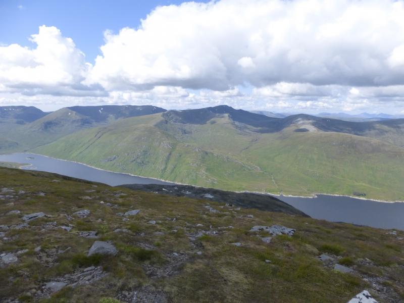
The North Mullardoch Munros
The North Mullardoch Munros from Loch Mullardoch Dam
Start/Finish
Loch Mullardoch Dam. The small car park is just below the dam on the north fork just before the dam. From Cannich village, take the road for Glen Cannich and Loch Mullardoch which starts close to the traffic lights. Cannich can be reached from either Drumnadrochit or Beauly. The dam is about 36 miles from Dingwall.
Distance/Time
9 km boat + 23 km walk. About 11 hours.
Peaks
An Socach, 1069 m, NH 100 332.
An Riabhachan W Top, 1040 m, NH 117 337.
An Riabhachan SW Top, 1086 m, NH 123 336.
An Riabhachan, 1129 m, NH 133 344.
Sgurr nan Clach Geala, 1095 m, NH 161 342.
Sgurr na Lapaich, 1150 m, NH 160 351.
Carn nan Gobhar, 992 m, NH 181 343.
Creag Dubh, 945 m, NH 199 350. OS sheet 25.
Introduction
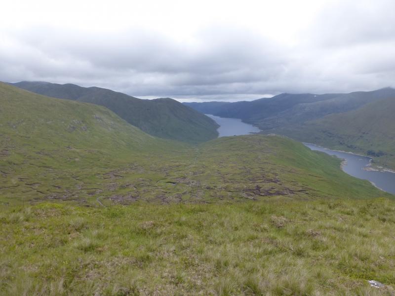
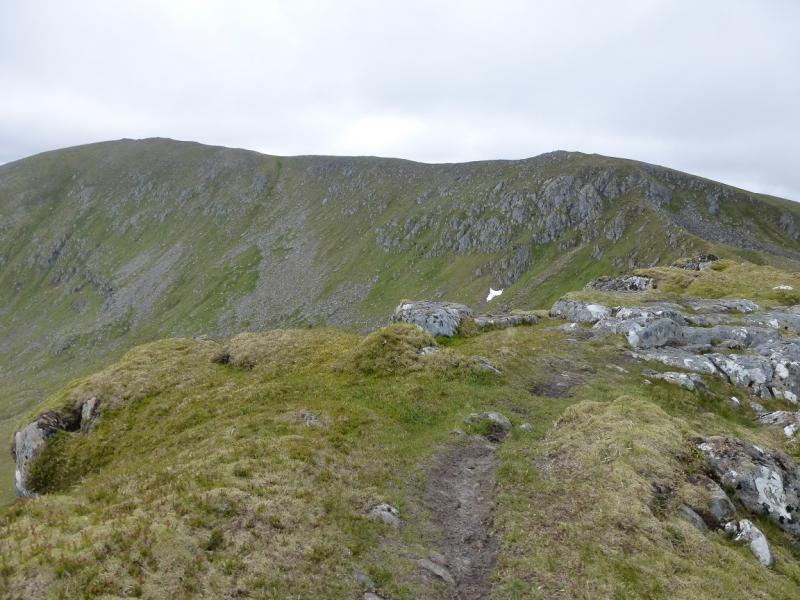
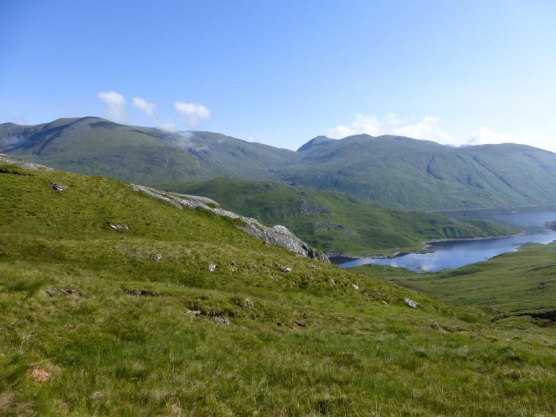
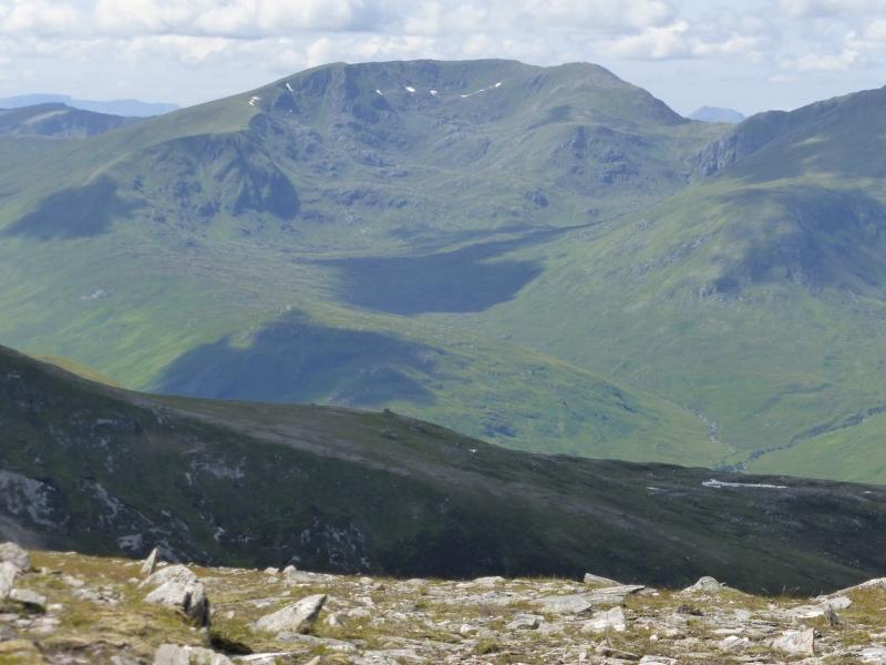
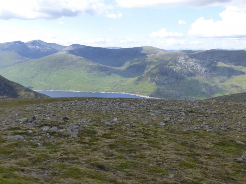
This is a classic but tough ridge walk. It is a long ascent to the first top of An Socach then a very pleasant ridge walk taking in 4 Munros and 4 tops. Two of the tops lie outside the “normal” route but are still worth doing especially Sgurr nan Clach Geala. There are deep gaps between the four Munros. The only “difficulties” are found on the descent of Sgurr na Lapaich which crosses a boulder field. There are excellent views especially along the ridge itself. To the south are the Glen Affric Munros; to the west are Aonach Buidhe, An Cruachan and Beinn Dronaig. To the north and north west are Lurg Mhor, Sgurr Choinnich and Maoile Lunndaidh ranges. Navigation is relatively straight forward except on the initial descent of Sgurr na Lapaich, however, save this walk for a clear day. The boat trip down Loch Mullardoch takes about 15 minutes and saves about 3 hours of walking as the “path” by the loch is poor. More details below.
Route
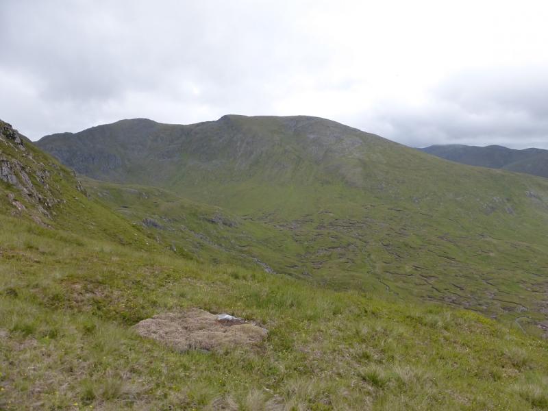
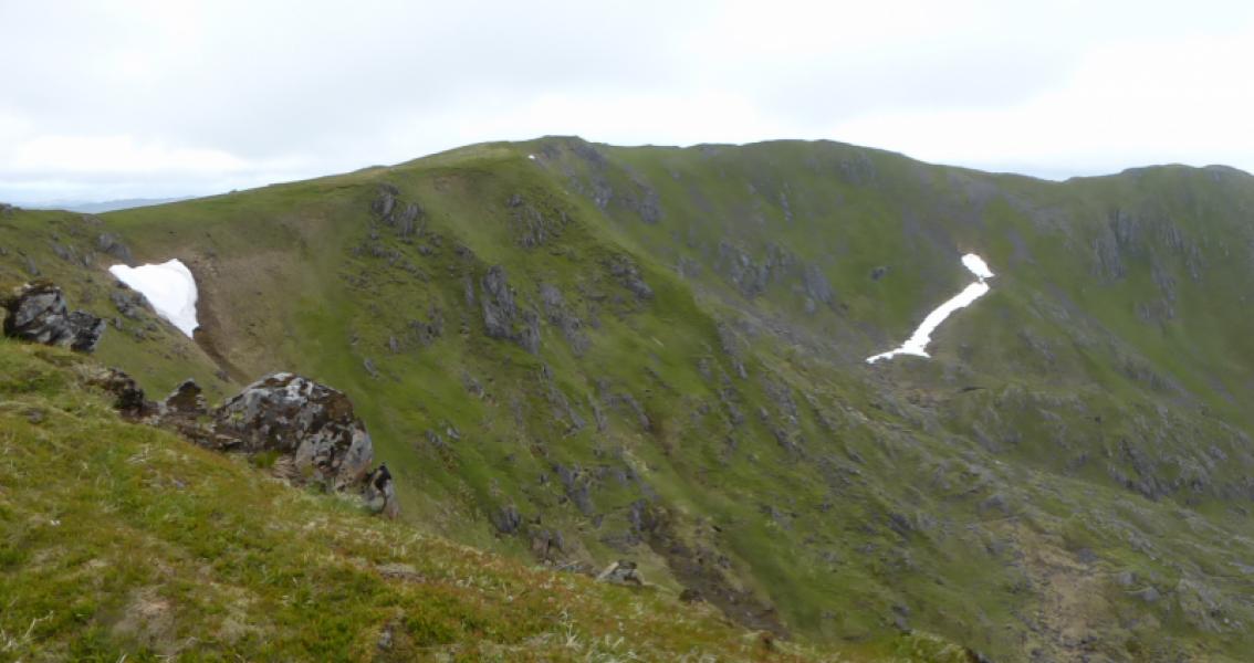
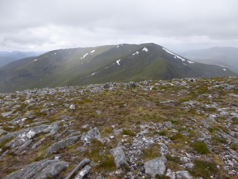
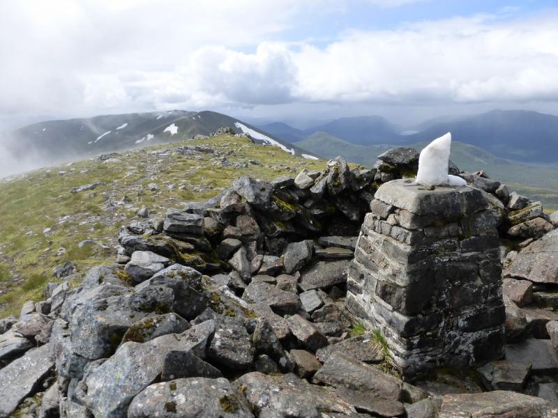
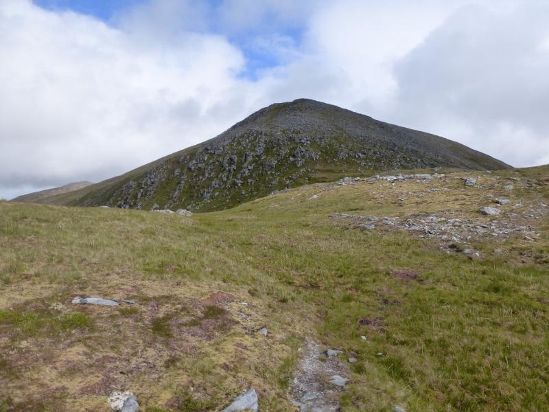
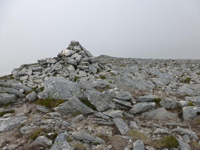
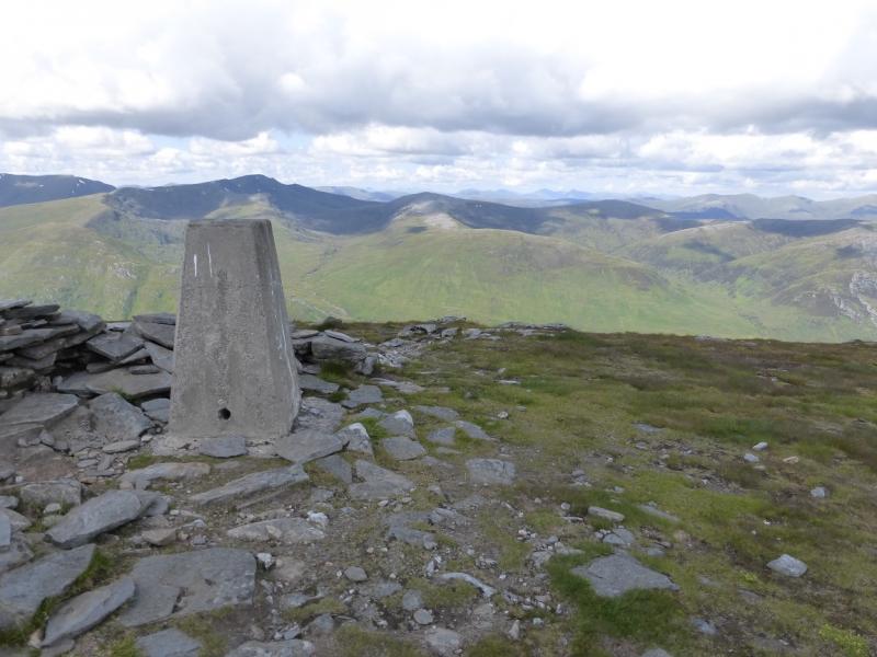
(1) The boat will usually take you beyond the old lodge, where three paths meet, as a little further W avoids most of the peat hags in the lower Allt Coire a' Mhaim. Pick a way, over pathless ground, up on to the ridge just to the E of Meall Bac a' Chul-dhoire. Head W, aiming for the obvious ridge which gradually curves around to the N. The path is faint lower down but improves higher up although there are a few indistinct sections. The ascent ends with an almost level walk around the rim of a lovely corrie where a trig point marks the summit of An Socach, 1069 m.
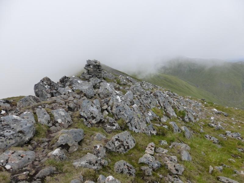
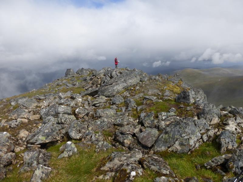
(2) The path continues to a lower top then descends, almost due E, to a well defined bealach before ascending quite steeply, NE, up the other side. When the ground levels out and the path goes right, SE, a very short detour left, leads to a small cairn which marks the summit of An Riabhachan W Top, 1040 m.
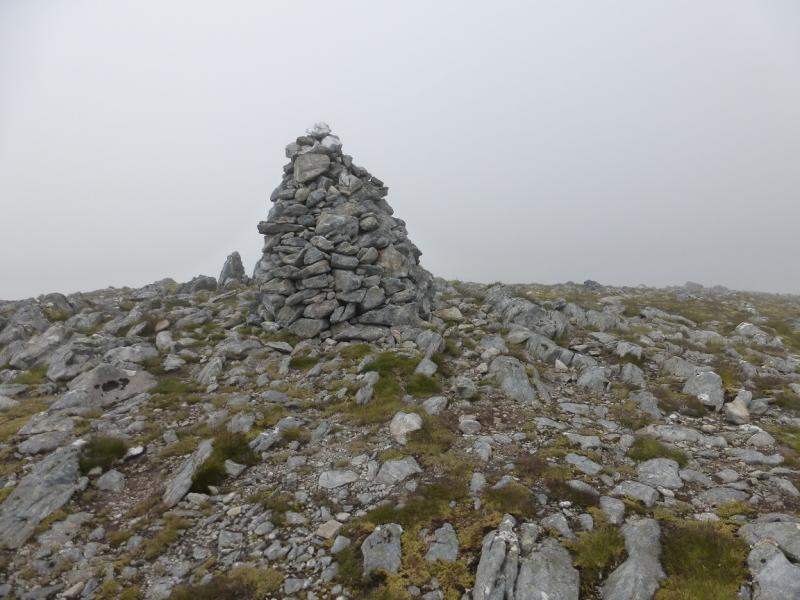
(3) Return to the main path and head SE, on gently rising ground. Just after the ridge turns back NE, there is a well built medium cairn which marks the summit of An Riabhachan SW Top, 1086 m. In mist, this might be confused for the summit.
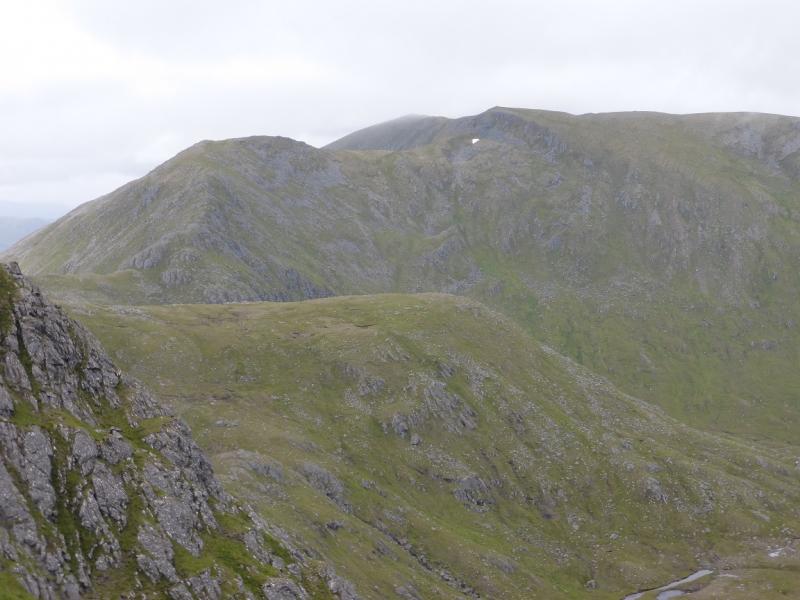
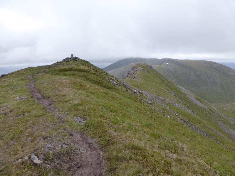
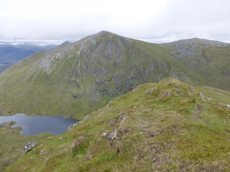
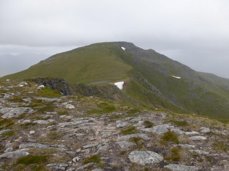
(4) Continue NE, on almost level ground, for about 1.3 km, to reach the large cairn which is the summit of An Riabhachan, 1129 m.
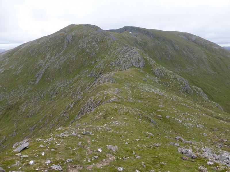
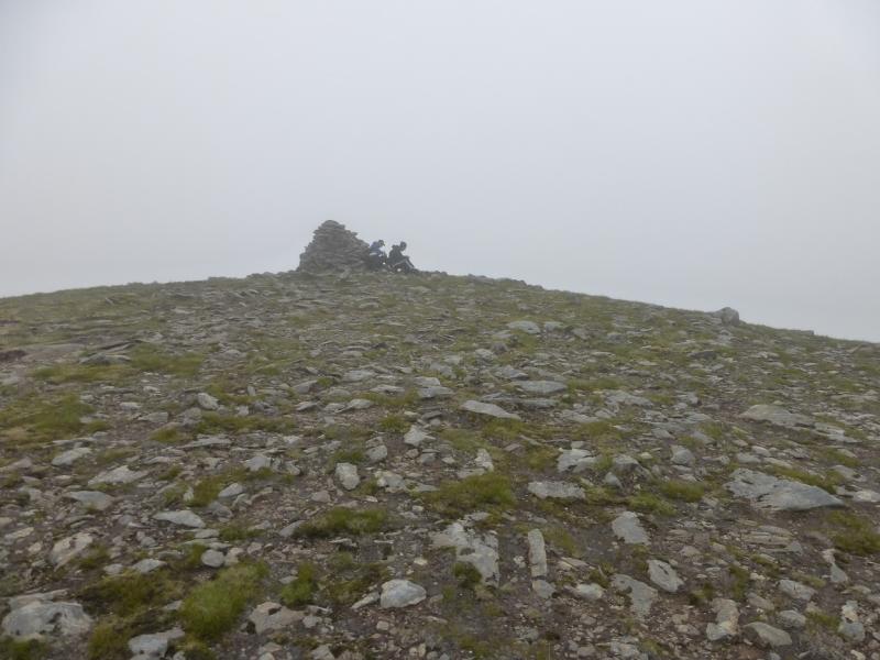
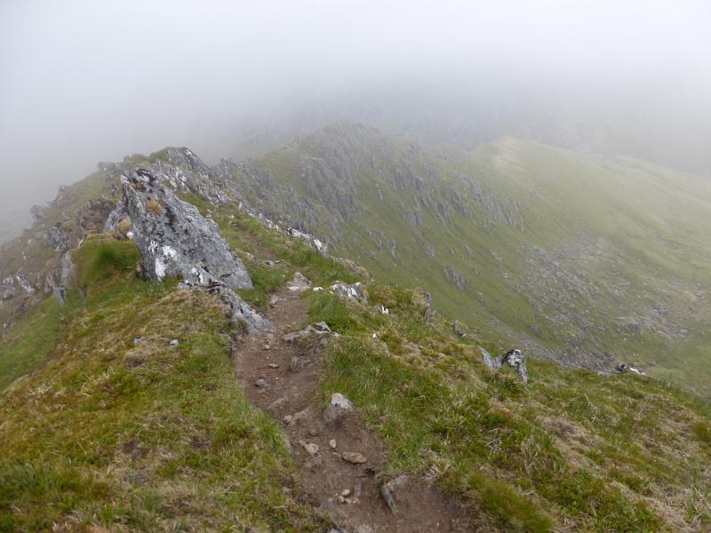
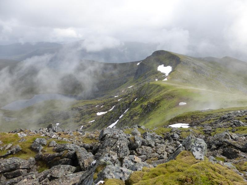
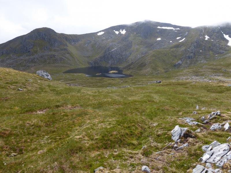
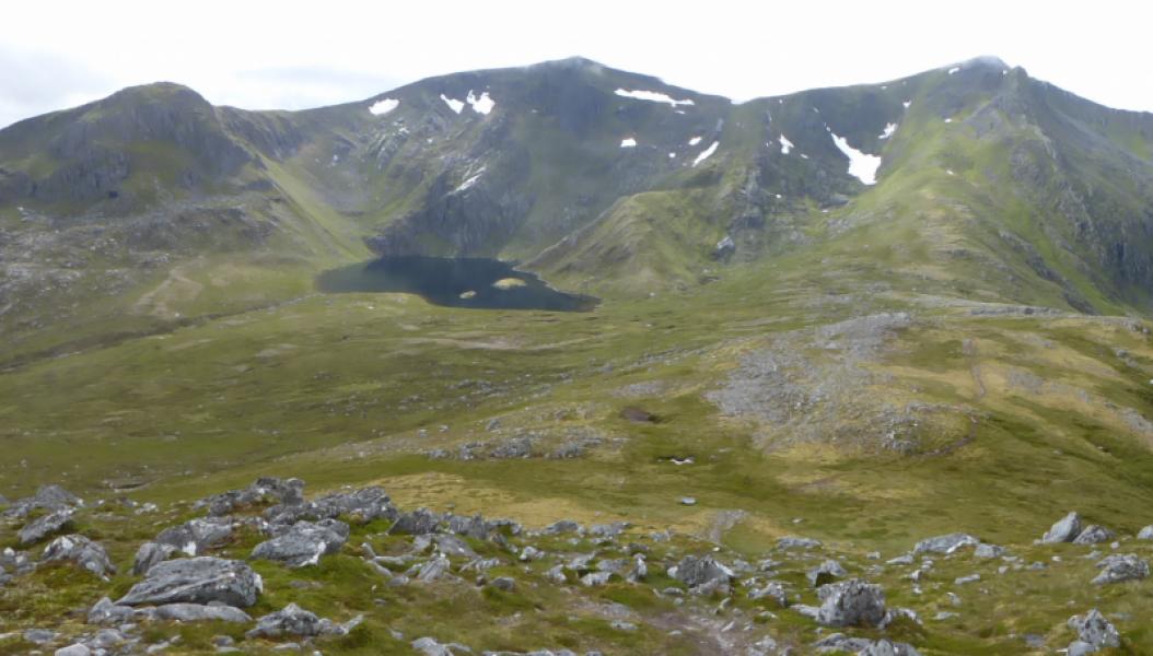
(5) Continue NE, hardly descending to a minor top with a cairn. From here, the ridge and path descend E, down a very attractive narrow ridge which is steep on its N side, to a well defined bealach. On the other side, ascend NE on the path. Leave the path when level with the S bealach of Sgurr na Lapaich and traverse across very easy grassy slopes to reach this bealach. This is obvious in clear weather. In thick weather, be careful with the navigation. The easiest route would be to ascend Sgurr na Lapaich then go S but this would involve gaining and losing more height. From the bealach, go S on a path which hugs the E edge in places. A short and gentle ascent leads to a medium cairn which is the summit of Sgurr nan Clach Geala, 1095 m. If not going going to this top, stay on the path which leads to Sgurr na Lapaich.
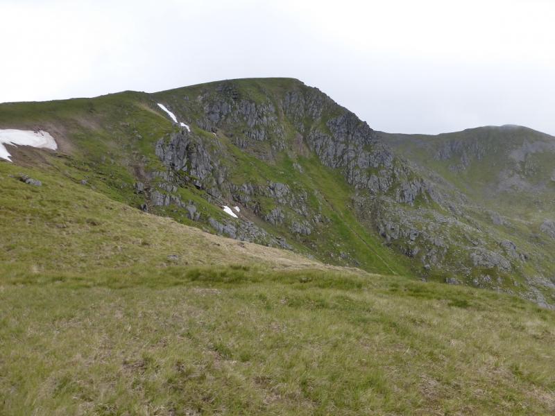
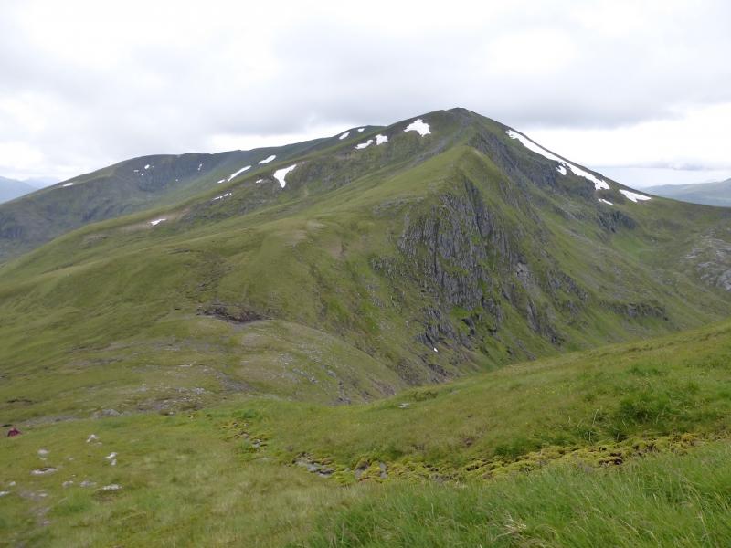
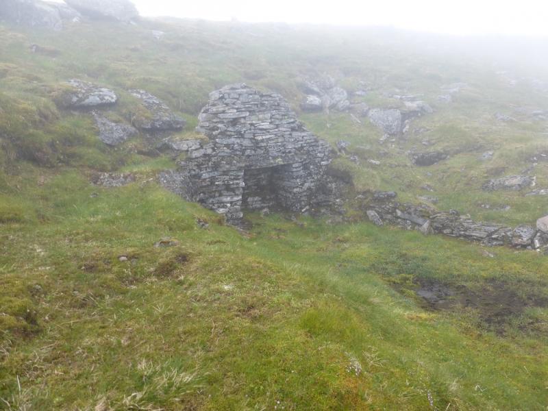
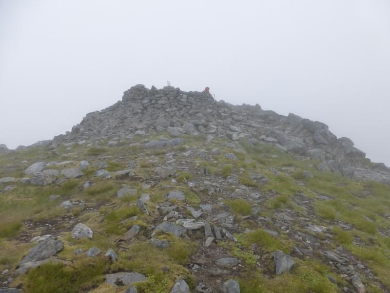
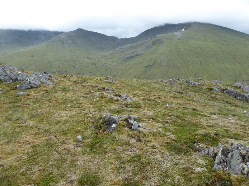
(6) Retrace to the bealach then ascend N up grassy and stony slopes to reach the trig point with a wall around it which marks the summit of Sgurr na Lapaich, 1150 m. Just below the summit is an unusual structure which is best described as a “giant fireplace”!
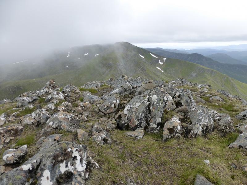
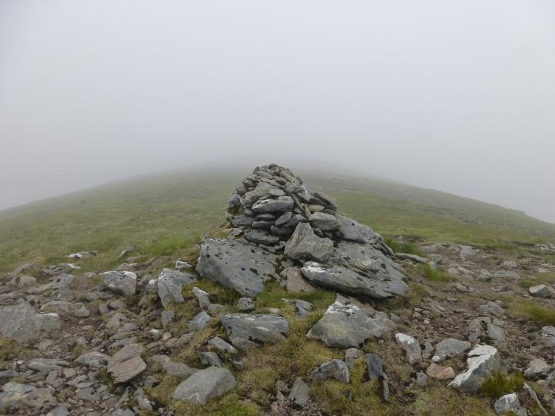
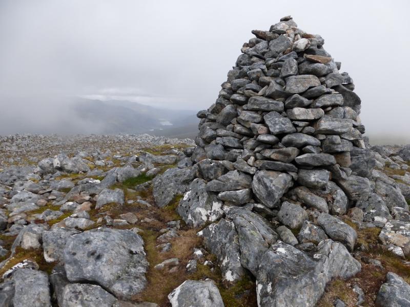
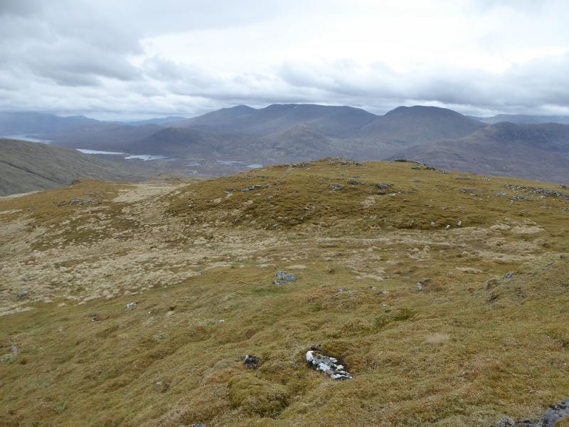
(7) The descent from Sgurr na Lapaich is the most unpleasant part of the walk. The crest is level for a short distance then a ridge descends ESE. If you go right, S, on to this ridge, you will have to labour through a difficult boulder field. However, if you go left, N, for a very short distance you can go around the rocks on their N side. There is a path both ways so be careful. Continue down the ridge. Another boulder field has to be crossed lower down. Drift right across this to pick up the path again which now leads down grassy slopes to the broad bealach just to the N of Loch Tuill Bhearnach. Continue on gently rising ground, heading SSE, which soon steepens. When the angle eases, reach a medium cairn which marks the summit of Carn nan Gobhar, 992 m. About 250 m to the S, across a shallow gap is a much larger cairn on a lower top.
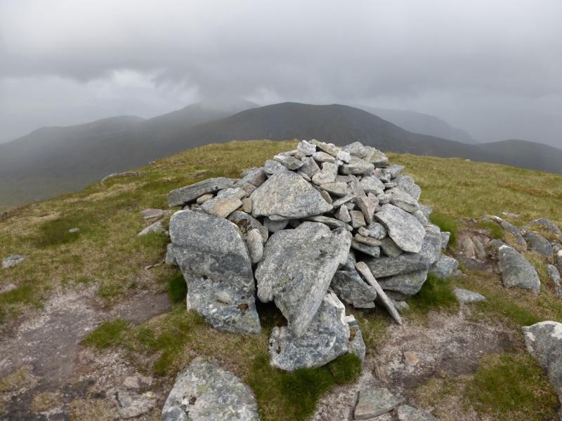
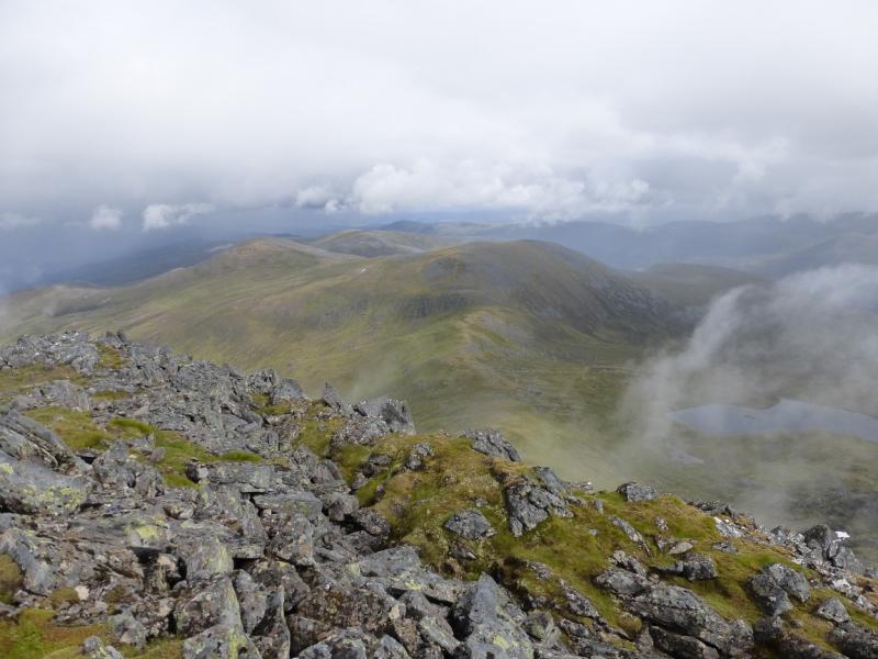
(8) Descend NE down east grassy and stony slopes to reach a low point, hardly a bealach, then ascend NE over increasingly stony ground to reach a medium cairn which is the summit of Creag Dubh, 945 m.
(9) The aim now is to reach the “path” in Coire an t-Sith. Descend S, down fairly easy slopes although there are short lived steeper sections and some heather to be avoided. In clear weather, a bridge will be seen which should be aimed for. In thick weather, aim to stay E of the Allt Mullardoch. Once the path is found, follow it down. It is boggy in places but leads down to Loch Mullardoch. Do not cross the second bridge. Just before Loch Mullardoch, the path contours E back to the track by the dam.
Notes
(a) This walk took place on 4th June, 1993, 20th July, 2008, and 28th June, 2014.
(b) Omitting Sgurr nan Clach Geala, saves about 1 km of walking and about 30 minutes.
(c) Omitting Creag Dubh, saves about 2 km of walking and about an hour. It also allows a more direct route back to the loch down the SSE ridge of Carn nan Gobhar. This descent has not been checked out so there may not be a path!
(d) If you don't mind the driving, Dingwall Camping and Caravanning Club site is well placed for access to Glen Arric, Loch Mullardoch, Glen Strathfarrar, Strathconon, Ben Wyvis, Achnasheen, Kinlochewe. Fannaichs, Loch Glascarnoch, Beinn Dearg range and lower hills on the coast. The site is virtually midge free. It pays to be a member otherwise there are surcharges. There is an over 50's discount outside of the High Season. Electrical hook ups are possible for campers. Dingwall has a 24 hour Tesco as well as a Lidl. The nearest camp site to this walk is just to the east of Cannich on the road to Drumnadrochit. It is a very well equipped site but midges may be more of a problem in the summer than at Dingwall. Cannich is a small village with a pub and shop.
(e) On 1/7/14, the boat was operated by Angus Hughes who can also be very helpful with his local knowledge regarding hill routes. His web site is www.lochmullardochferry.co.uk
The ferry operates all year apart from during the local stalking season which usually runs from 1st August to 20th October. There is an e-mail facility within the web site. Phone numbers are 07725 334 927 and 01456 415797. Mobile phone coverage is patchy but if you leave a message, Angus is very good at getting back to you. In 2014, the fare was £25 one way but there was a minimum charge of £75 per boat so it is advisable to first enquire if others have booked then the lower charge will apply.
Photos - Hover over photo for caption. Click on to enlarge. Click on again to reduce.