Get Lost Mountaineering
You are here: Scotland » 15 Loch Broom to Easter Ross » West Of Strathcarron & Loch Vaich to Ullapool
Am Faochagach
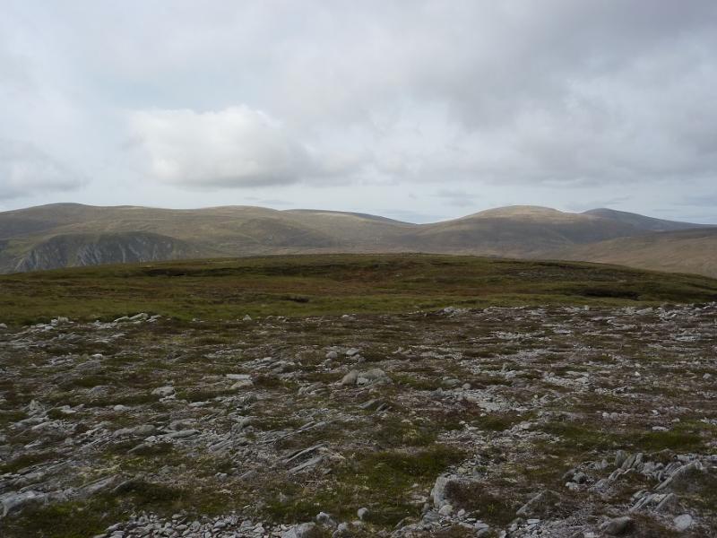
Am Faochagach from NW end of Loch Glascarnoch
Start/Finish
Small car park, at NH 277 743, on A835 Ullapool Road at NW end of Loch Glascarnoch. This is just after the bridge over the Abhainn an Torrain Duibh. If the car park is full, there is some on verge parking nearby.
Distance/Time
14 km. About 5 hours
Peaks
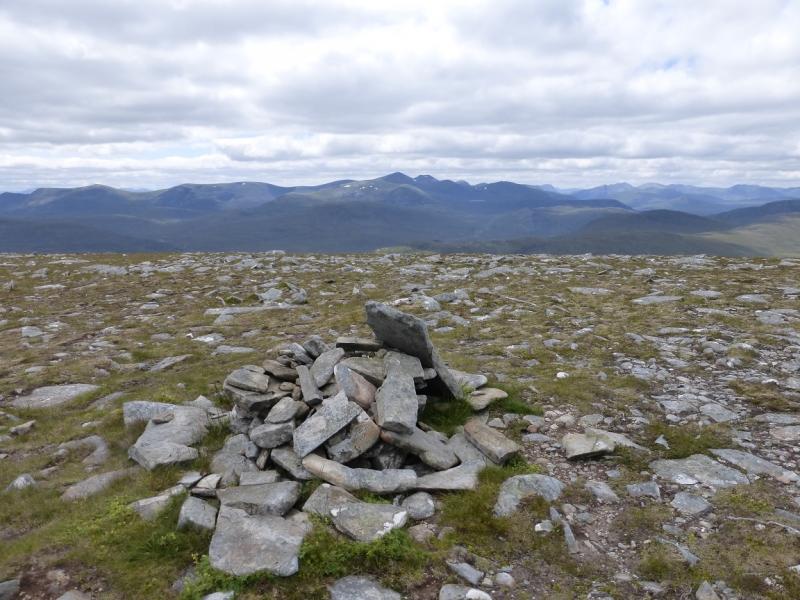
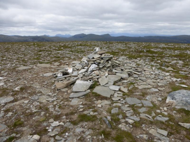
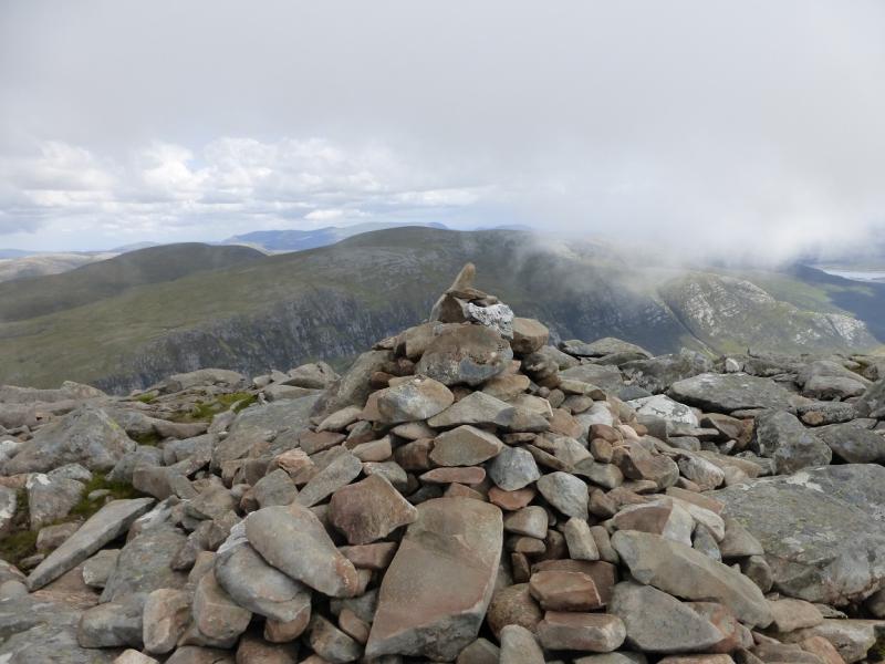
Am Faochagach, 953 m, NH 303 794. OS map 20.
Introduction
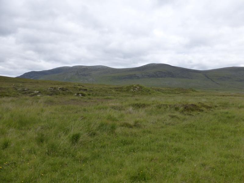
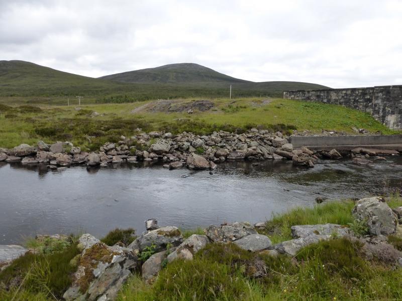
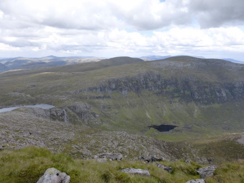
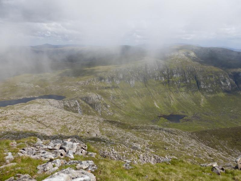
In itself, Am Faochagach is not a very interesting hill, not helped by its boggy approach, but it does offer an easy day with excellent views of the Beinn Dearg range, including Seanna Bhraigh, and the Fannaichs. On a very clear day, An Teallach is also obvious and one can see the tops of the Inverpolly hills such as Stac Pollaidh. There is a major river crossing: the Abhainn a' Gharbhainn which can only be crossed dry foot in a prolonged dry spell. In a wet spell it will not be possible to cross below the loch and a lengthy detour will be needed around the N end of Loch Gharbhainn. In a wet spell, the level ground from the start will also be boggy and unpleasant so save this walk for a dry spell and a clear day.
Route
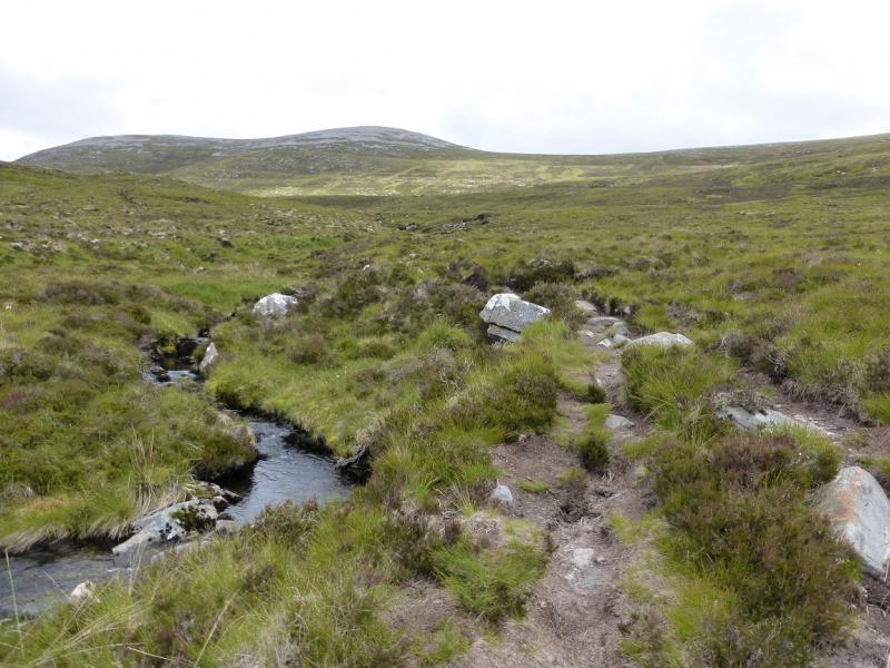
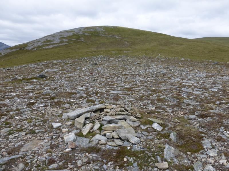
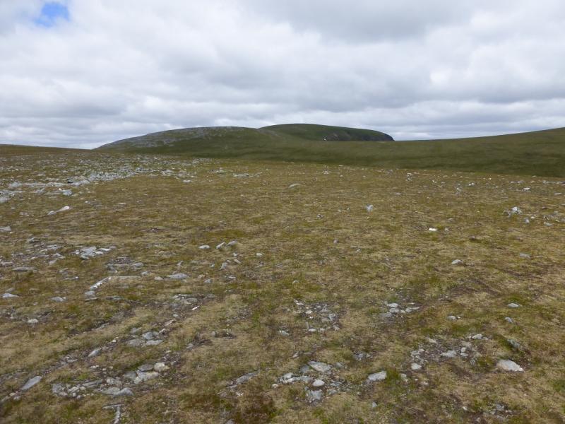
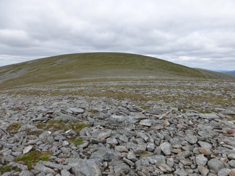
(1) From the car park, cross the road and drop down the side of the bridge then walk around the end of the fence. Continue along a faint path along the river bank towards the wood. Do not get nearer than 300 m to the wood and hope you find a faint path heading roughly NE across the potentially boggy ground. This leads to the Abhainn a' Gharbhainn, downstream of the island shown on the map. In a dry spell, this is probably the best place to cross as there are plenty of rocks in the river although crossing usually takes a diagonal line upstream. Once across, head towards the NE corner of the flattish mound which is SE of Loch Gharbhainn to pick up the path which ascends the E side of the Allt na h-Uidhe. This path can be very boggy in places. When the burn goes N, the path continues NE to reach a broad bealach at about NH 304 68 where there is a small cairn. A path leads N looking as if it going to traverse a top but it only misses it by about 30 m so it is worth the short detour to its cairn. It isn't really a top, more a shoulder at about NH 302 776. Continue N, on the crest, to the next cairn at about NH 300 781. If the path is followed it passes to the E of this top. Continue N to a very shallow dip then ascend NE, on a faint path, to a shoulder before a final ascent leads to the medium cairn which marks the summit of Am Faochagach, 953 m.
(2) Retrace the outward route but if the Allt na h-Uidhe path is followed all the way back to the Abhainn a' Gharbhainn, the river crossing may be more difficult than on the outward route so walk downstream to find it again.
Notes
(a) This walk took place on 31st July, 1992, 28th July, 2008, and 29th June, 2014.
(b) If you don't mind the driving, Dingwall Camping and Caravanning Club site is well placed for access to Glen Arric, Loch Mullardoch, Glen Strathfarrar, Strathconon, Ben Wyvis, Achnasheen, Kinlochewe. Fannaichs, Loch Glascarnoch, Beinn Dearg range and lower hills on the coast. The site is virtually midge free. It pays to be a member otherwise there are surcharges. There is an over 50's discount outside of the High Season. Electrical hook ups are possible for campers. Dingwall has a 24 hour Tesco. The start is about 25 miles from Dingwall. Ullapool is a nearer base but less midge free for summer camping.
Photos - Hover over photo for caption. Click on to enlarge. Click on again to reduce.