Get Lost Mountaineering
You are here: Scotland » 11 Kintail and Glen Affric to Loch Ness » Glen Affric to Loch Duich
Beinn Fhionnlaidh, Carn Eige, Tom a' Choinich & Toll Creagach from Loch Mullardoch Dam
Beinn Fhionnlaidh, Carn Eige, Tom a' Choinich & Toll Creagach
from Loch Mullardoch Dam
Start/Finish
Loch Mullardoch Dam. The small car park is by the dam on the south fork just before the dam. By prior arrangement, the boat will pick up from the south side of the dam (it usually picks up on the north side) saving about a mile of road walking at the end of the day. From Cannich village, take the road for Glen Cannich and Loch Mullardoch which starts close to the traffic lights. Cannich can be reached from either Drumnadrochit or Beauly. The dam is about 36 miles from Dingwall.
Distance/Time
9 km boat + 20 km walk. About 11 hours.
Peaks
Beinn Fhionnlaidh, 1005 m, NH 115 282.
Stob Coire Lochan, 917 m, NH 119 272.
Carn Eige, 1183 m, NH 123 262.
Stob a' Choire Dhomhain, 1147 m, NH 131 264.
Stob Coire Dhomhnuill, 1137 m, NH 138 262.
Sron Garbh, 1131 m, NH 145 263.
An Leth-chreag, 1051 m, NH 153 269.
Tom a' Choinich Beag, 1032 m, NH 157 273.
Tom a' Choinich, 1112 m, NH 164 273.
Toll Creagach West Top, 951 m, NH 177 275.
Toll Creagach, 1054, NH 194 282. OS sheet 25.
Introduction
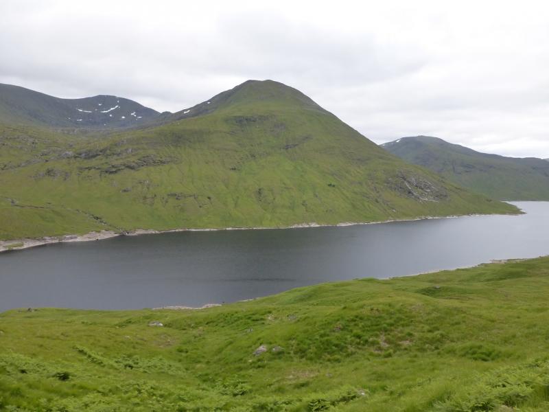
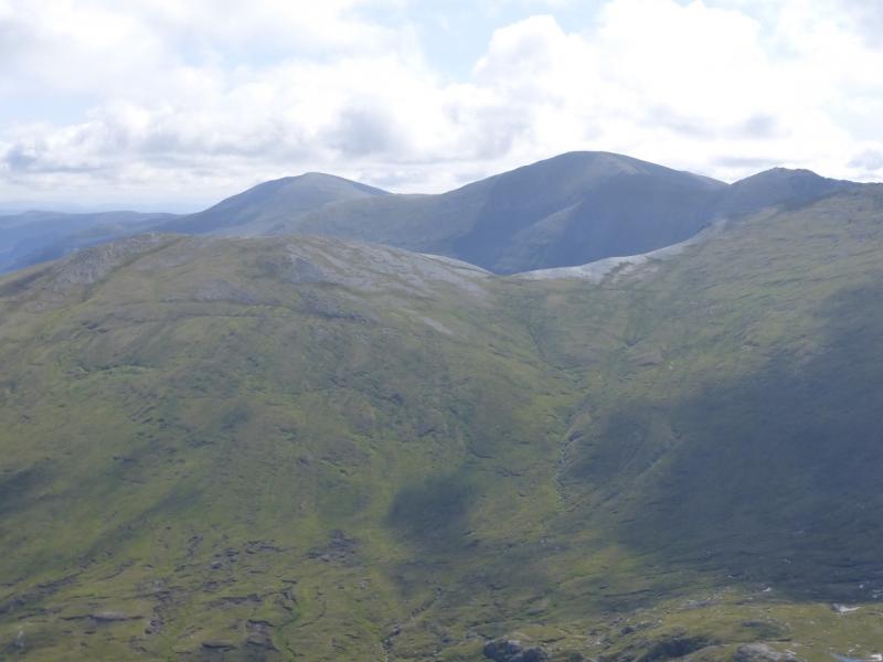
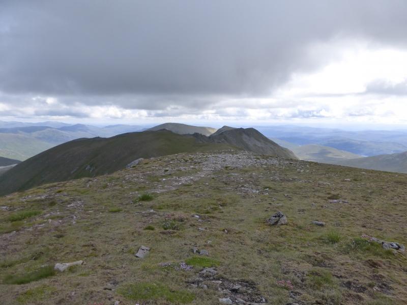
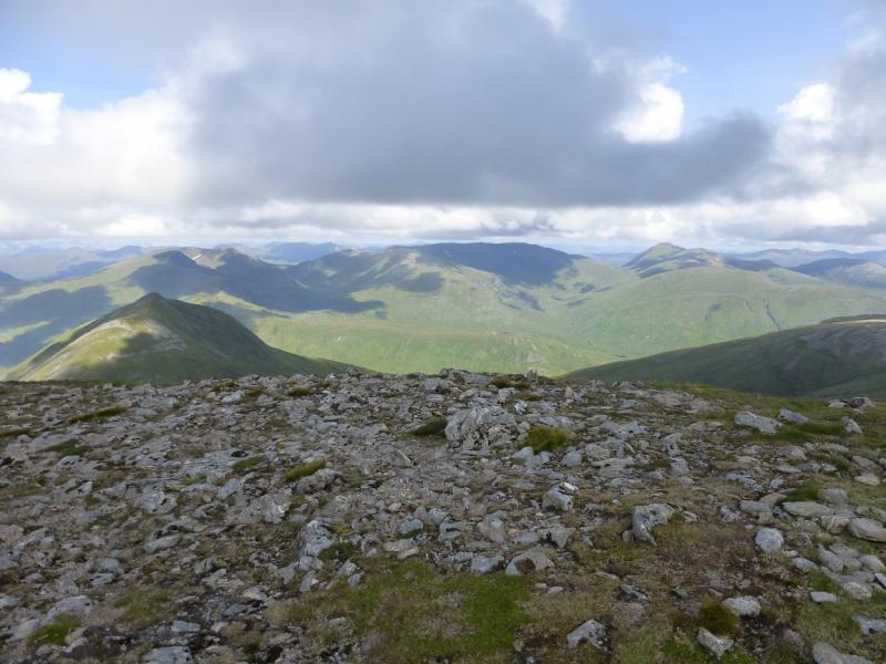
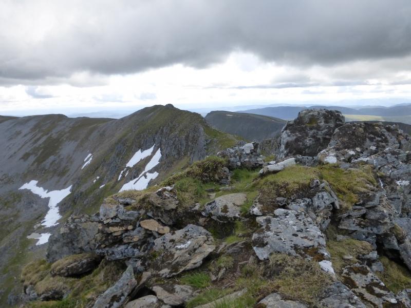
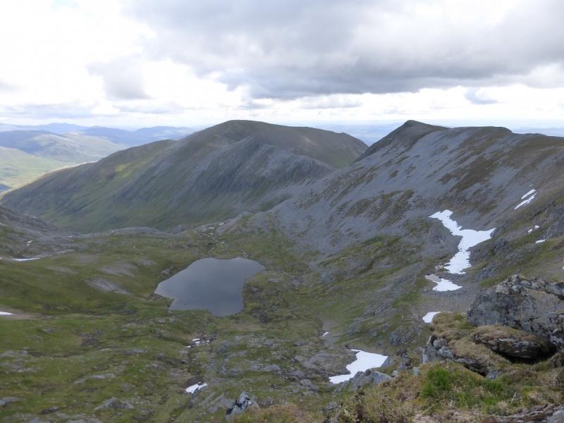
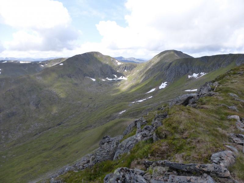
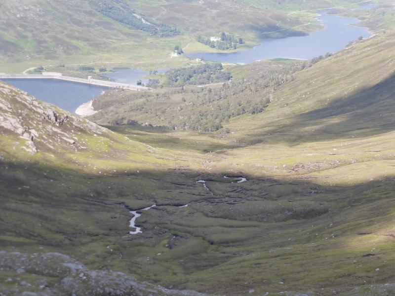
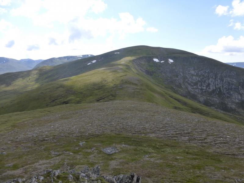
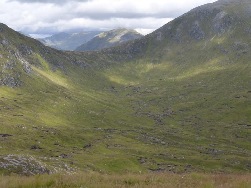
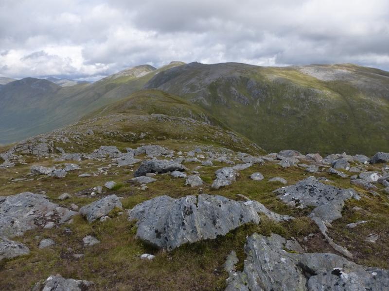
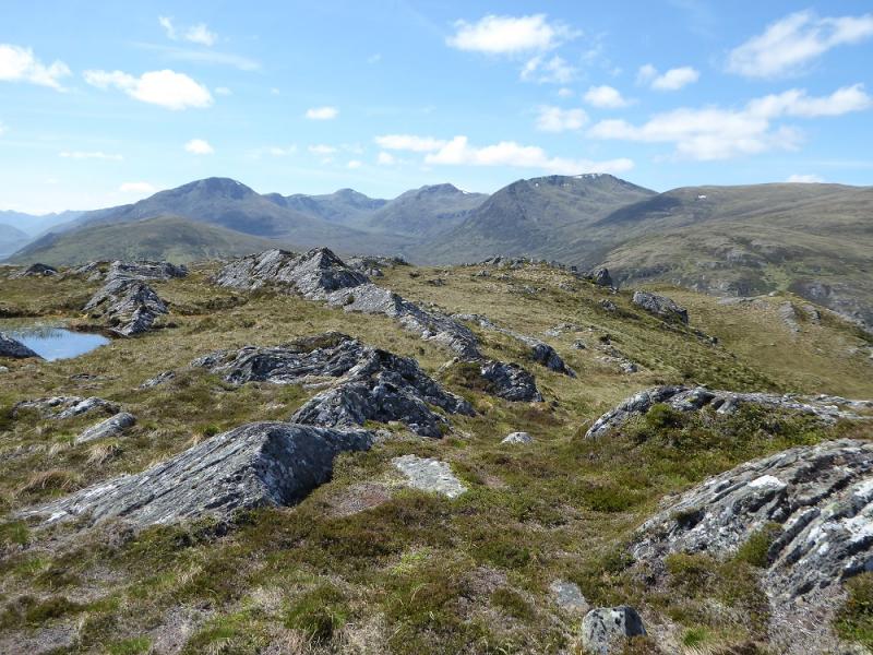
This is a classic but tough ridge walk. It is a steep ascent to the first top of Beinn Fhionnlaidh then a very pleasant ridge walk taking in 4 Munros and 7 tops. Usually, on such a route, some of the tops – such as on An Teallach – lie some way off the main ridge necessitating long detours which often have to be retraced. Not so on this route with all tops on the main crest being walked. Definitely save this walk for a clear day as there excellent views especially along the ridge itself. To the west, Mullach na Dheiragain is very prominent with Sgurr nan Ceathreamhnan behind it. To the north the Loch Mullardoch Munros dominate. One could spend hours trying to name distant mountains but Torridon is visible as is Ben Nevis. Using the boat down Loch Mullardoch is highly recommended as the route is then linear with no backtracking. Those starting from Glen Affric have to ascend Carn Eige, descend it to reach Beinn Fhionnlaidh then reascend Carn Eige again which can be soul destroying for some! The boat trip down Loch Mullardoch takes about 15 minutes. More details below. The only real “problem” with this route is the descent back to the Loch Mullardoch Dam where one has to be careful not to end up in deep heather. The route given avoids the worst of the heather.
Route
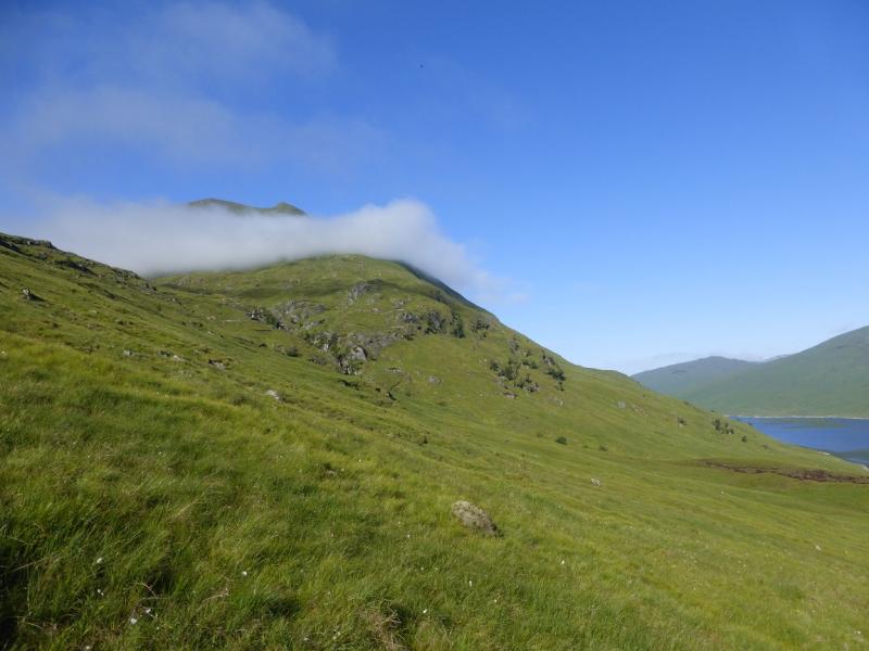
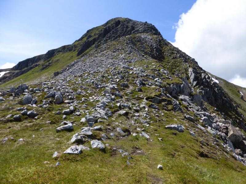
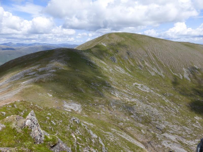
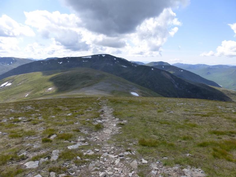
(1) The boat will usually take you to just E of the Allt Coire an Lochain which is on the E side of Beinn Fhionnlaidh. The burn, to the W, with its small waterfalls should be obvious. Head for this, on a gently rising traverse, aiming to cross fairly high up. There is no real path but the ground is not too bad. With the increasing popularity of this route, a path will soon start appearing from the loch side. Once across the Allt Coire an Lochain aim for the NE ridge of Beinn Fhionnlaidh. This gets much steeper higher up but is mainly grassy. It is possible to zig-zag around on the steeper ground. Eventually, the angle eases and the ridge curves around to the large cairn which marks the summit of Beinn Fhionnlaidh,1005 m. There is a distinct path for the final section.
(2) Descend S, on a good path, to reach a broad bealach. Drift left to the edge and walk up easy slopes to reach the small cairn which marks the summit of Stob Coire Lochan, 917 m.
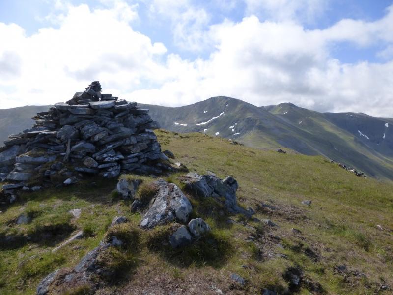
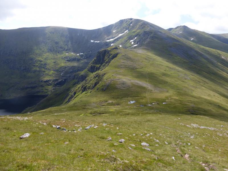
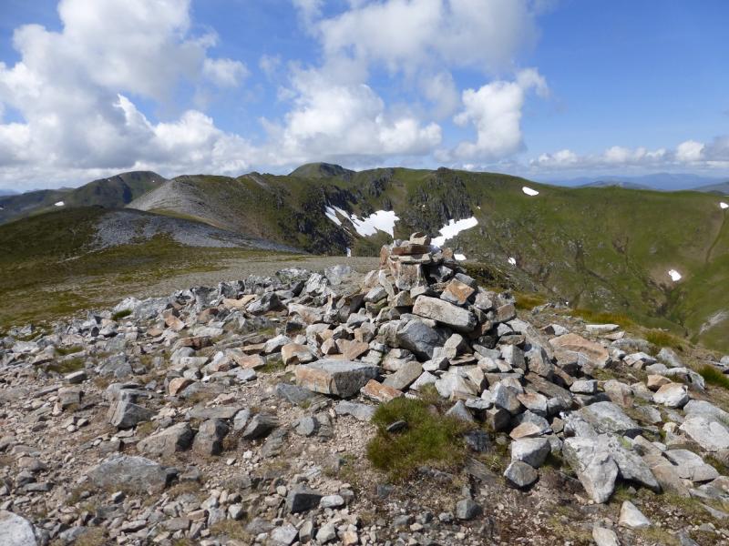
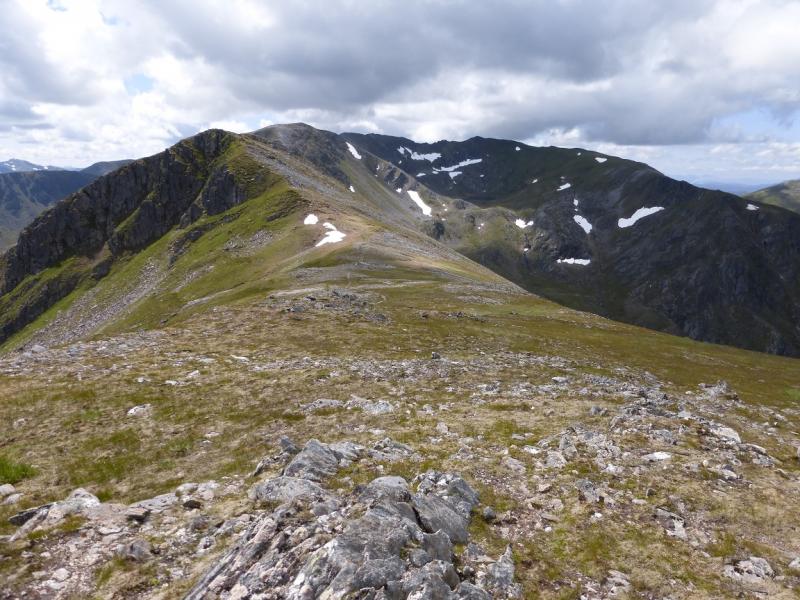
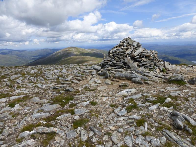
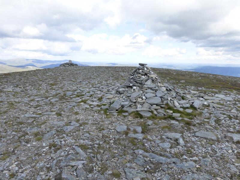
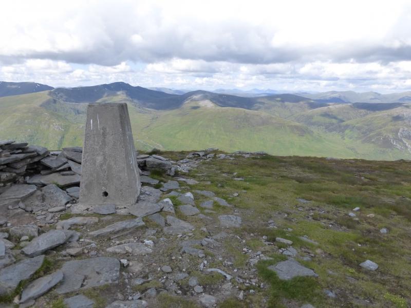
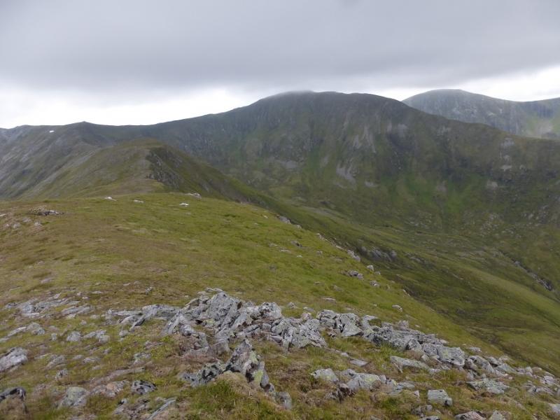
(3) Descend S, still following the edge, to a dip then ascend, by the edge, on a pleasant path which weaves around a little especially in stony areas. Reach a small plateau where a trip point with a wall around it marks the summit of Carn Eige, 1183 m.
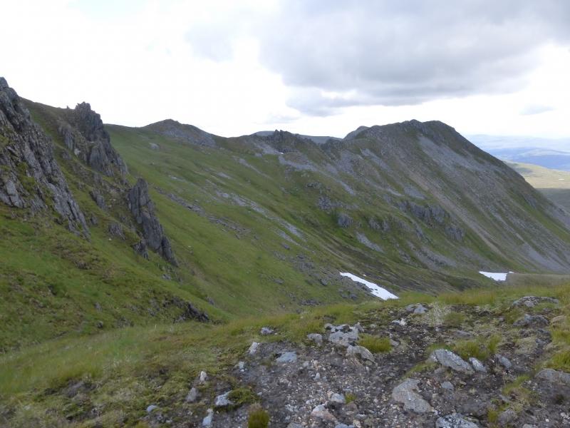
(4) Descend E, on a path which seems to stray from the crest so try to keep on the crest. A small ascent leads to an easy grassy edge. The top just before the edge turns right, SE, is the highest point. On 1/7/14, there was no cairn but this is Stob a' Choire Dhomhain, 1147 m.
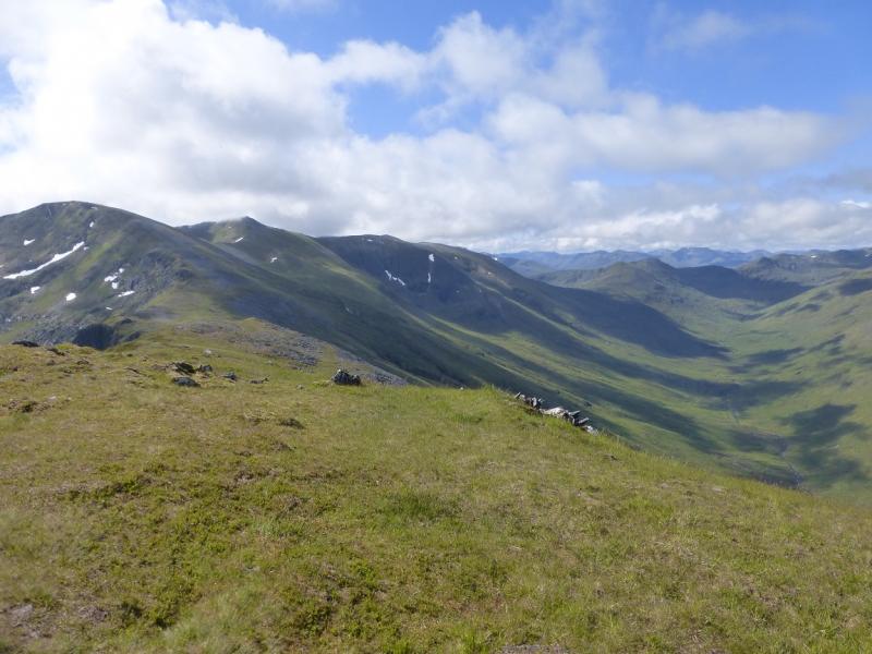
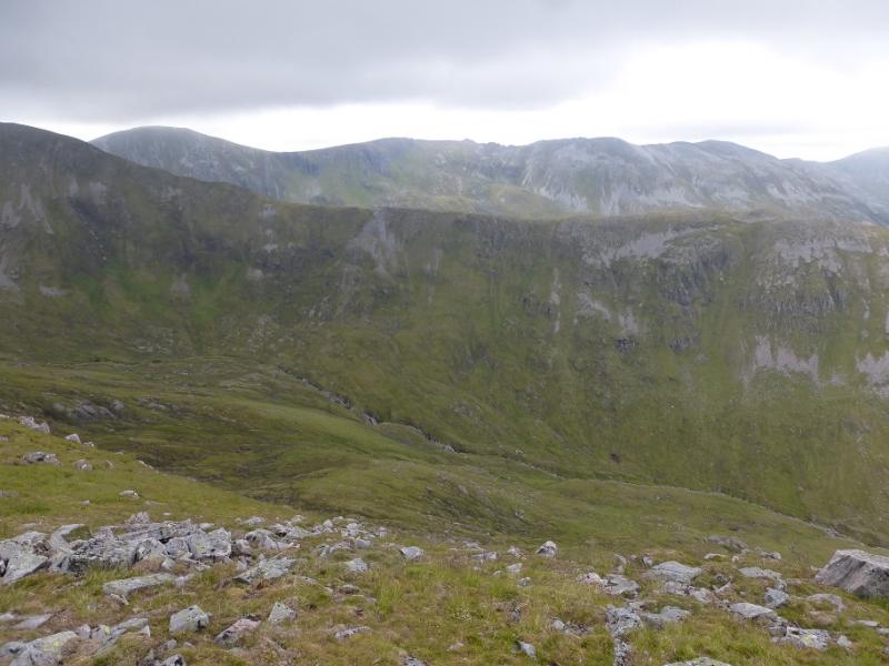
(5) Continue along the almost level crest soon turning SE. Some pinnacles lie on the ridge ahead but these are easily avoided by a path to their S. None of the pinnacles is an official top. A short ascent leads to a an almost level crest which has two tops of about the same height. Neither had a cairn on 1/7/14 so go over both just to be sure as one of them is Stob Coire Dhomhnuill, 1137 m.
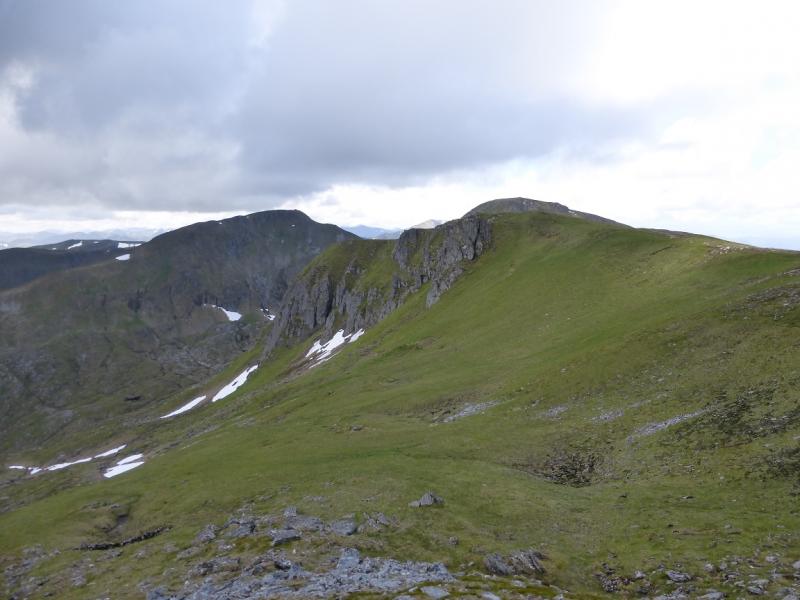
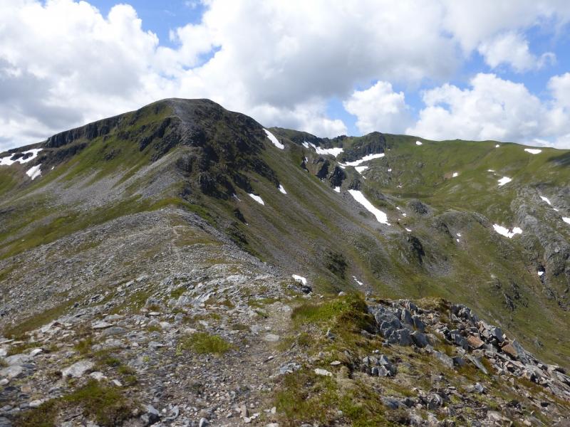
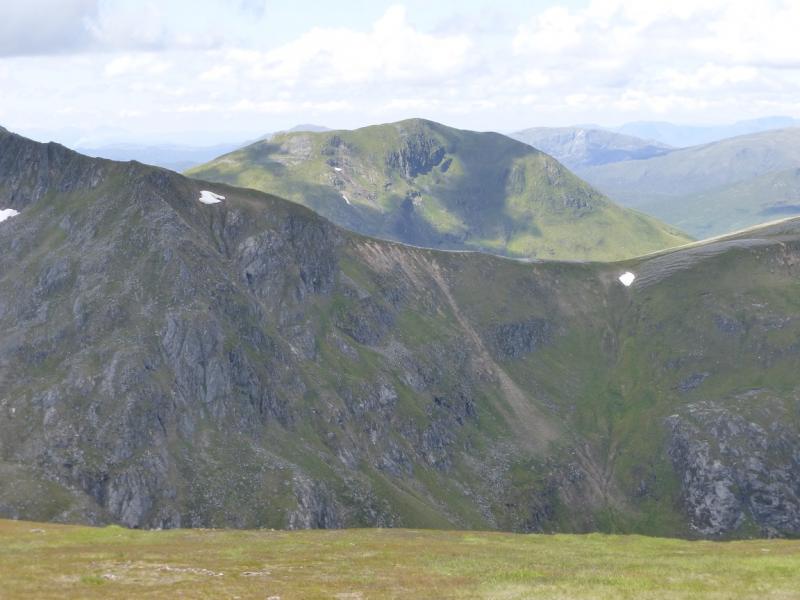
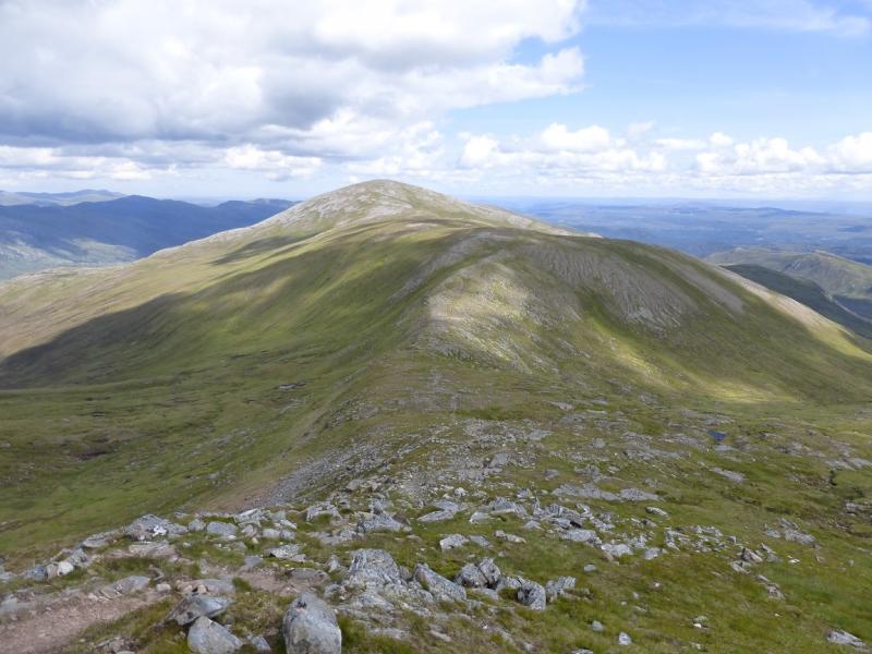
(6) Continue along the crest, descending slightly and turning ENE. A gentle ascent leads to a medium cairn which is the summit of Sron Garbh, 1131 m.
(7) Descend NE, still on the path. This is a much longer descent and goes through much rocky ground before reaching an obvious bealach. Continue up the other side on easy slopes to reach a medium cairn which is the summit of An Leth-chreag, 1051 m.
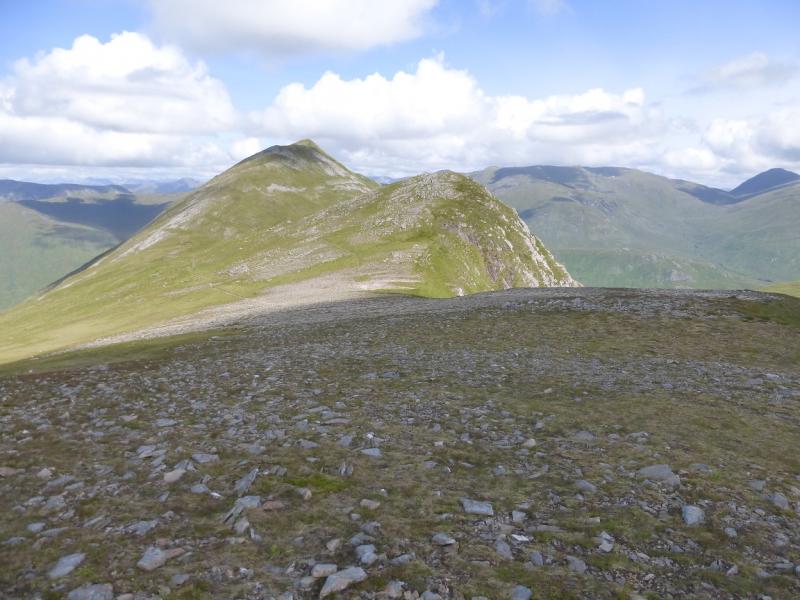
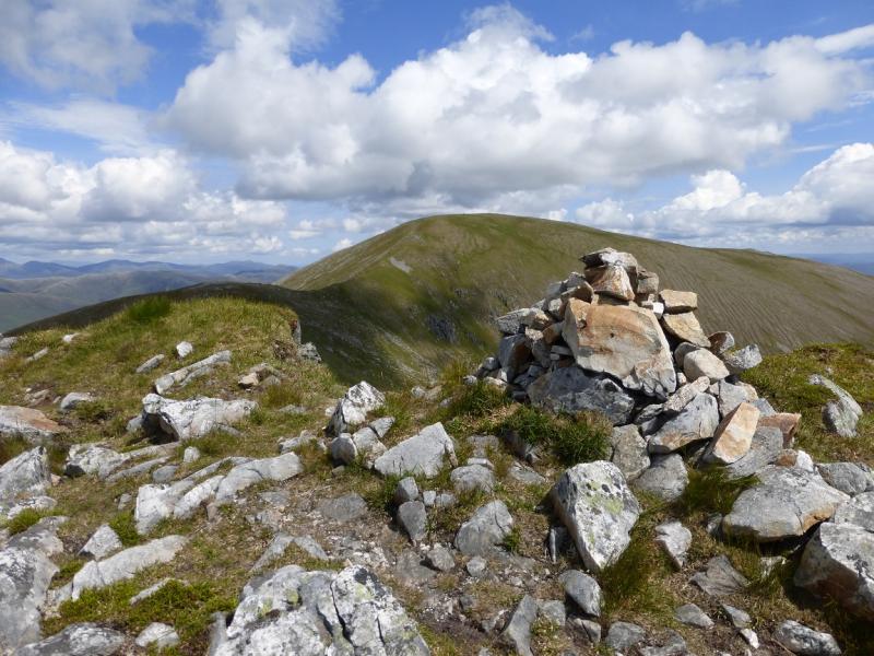
(8) The next top is only about 400 m away. Descend slightly NE then an slightly longer rise leads to a small cairn which marks the summit of Tom a' Choinich Beag, 1032 m.
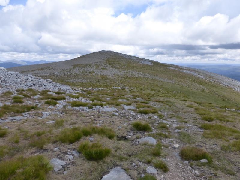
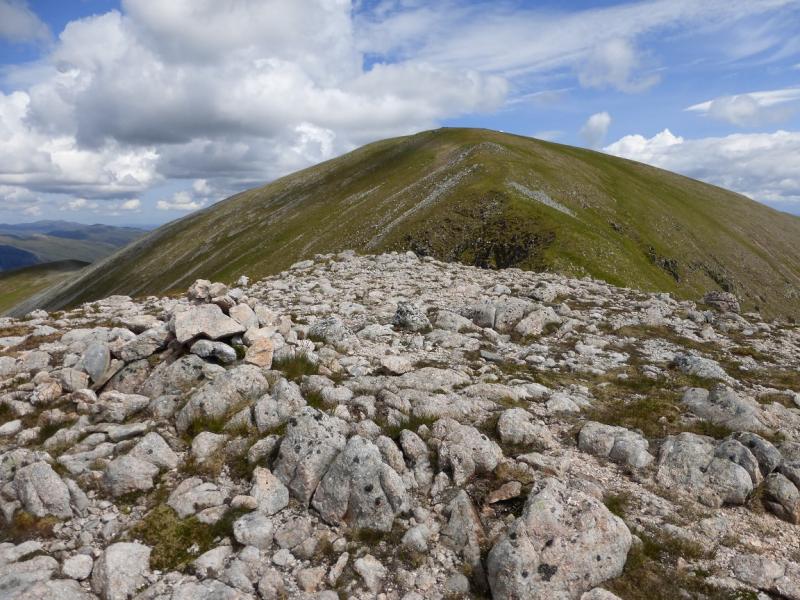
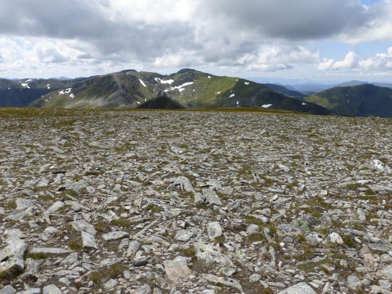
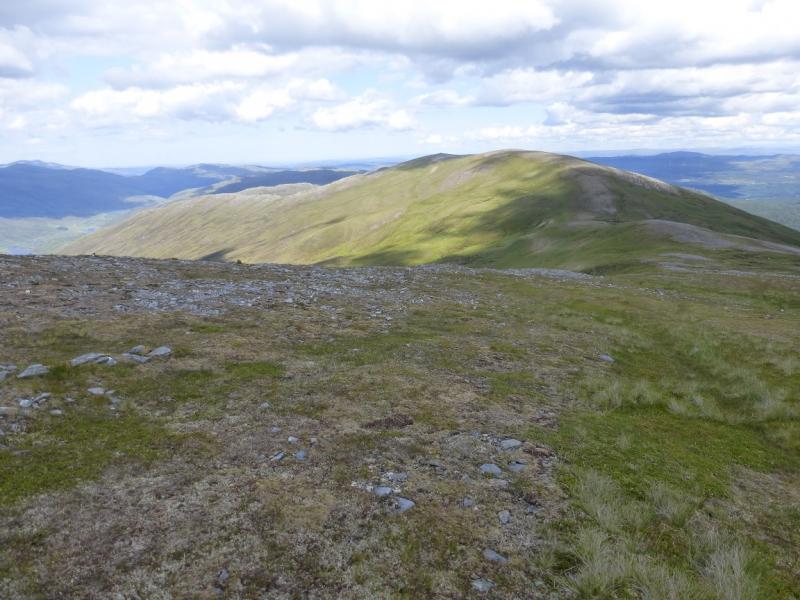
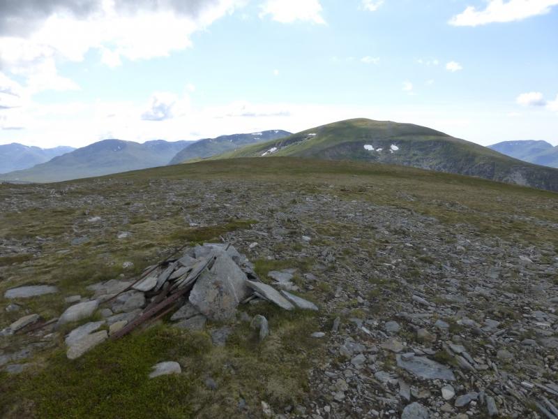
(9) The crest now goes E with hardly any descent and climbs steadily to a stony plateau where a large cairn marks the summit of Tom a' Choinich, 1112 m.
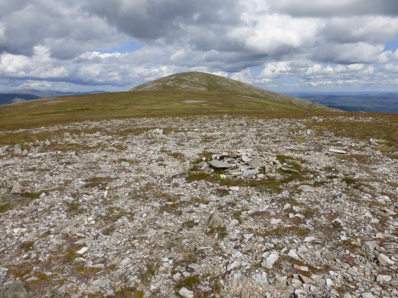
(10) The descent path from the summit may not be immediately obvious so go ENE to pick it up. It then descends the shortest and steepest of Tom a' Choinich's ridges with a corrie on the right. At one point the path goes right which can lead to a snow field even in early summer. If this is the case, stay on the crest of the the ridge until the path comes back and then descend carefullyto the obvious bealach. Continue up the other side, heading E, to reach a fairly level plateau. There is a small cairn at the start of this and one at the end so visit both. The second one, to the ENE, appears to be the higher although the first one seems to be the “official” top of Toll Creagach West Top, 951 m.
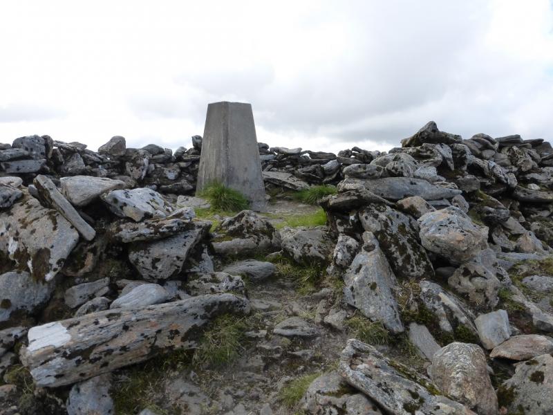
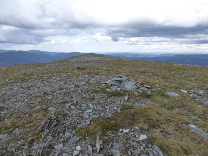
(11) Continue ENE, up easy grassy and stonyslopes, to reach a stony plateau where there is both a large cairn and a walled in trig point to mark the summit of Toll Creagach, 1054 m.
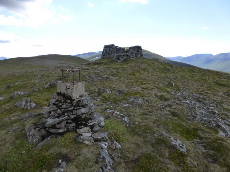
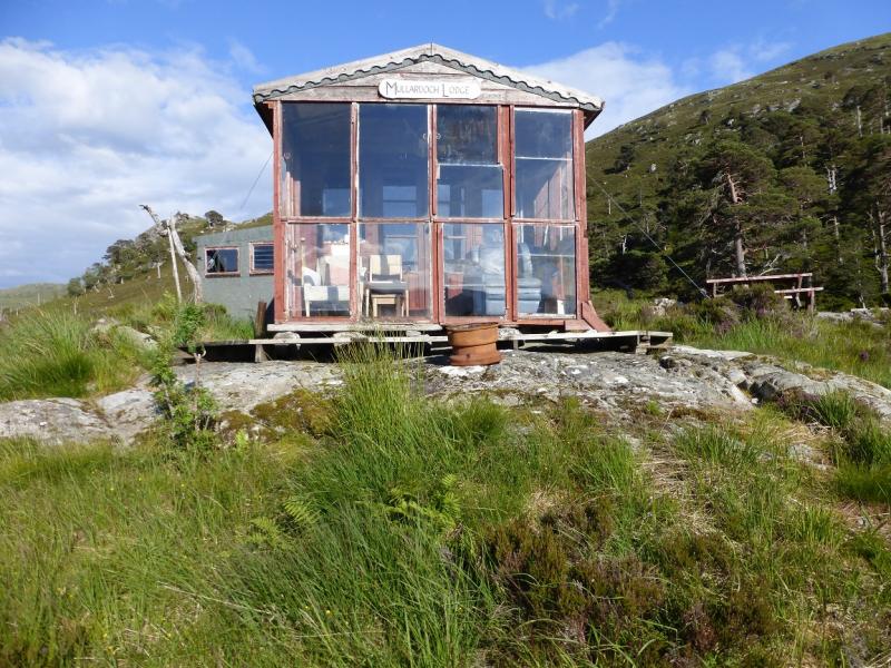
(12) The least rough route back to the dam seems to be down the E ridge of Fraoch Corrie. Descend roughly E from Toll Creagach down easy grassy slopes. There is a path and some old fence posts. Reach a level section then ascend easily to Top 892 then Top 878 which has an usual square shelter cairn. Descend N from here down the undulating grassy and stony ridge. Keep descending, going well down the ridge and about level with the wood, until you can see the nearest building, Mullardoch Lodge, at the end of a snaking track. Start to pick a way down to this. When a deer fence is seen coming out of the wood to the left, look for a gate near a corner. Do not go through the gate unless you like deep and rough heather. Instead follow the fence right then down close to the building which is actually a large “shed”. This part can be confusing as there is another fence to the right which looks like it is a continuation of the fence from the wood suggesting that one must go through the gate to cross the fence. Do not be tempted! They are two separate fences. Once at the building, walk down the track to the road. Turn left and soon reach the dam.
Notes
(a) This walk took place on 1st July, 2014.
(b) Previously, some of these hills had been climbed from Glen Affric. Beinn Fhionnlaidh, Carn Eige and its eastern tops were reached via Sgurr na Lapaich and Mam Sodhail and the descent was into Gleann nam Fiadh after Sron Garbh. The dates were 3rd June, 1993 and 24th July, 2007.
(c) Tom a' Choinich and Toll Creagach were climbed from Gleann nam Fiadh up the south ridge of Toll Creagach with the descent from the bealach just after An Leth-creag back into Gleann nam Fiadh. The dates were 25th July, 1993, and 19th July, 2009.
(d) If you don't mind the driving, Dingwall Camping and Caravanning Club site is well placed for access to Glen Arric, Loch Mullardoch, Glen Strathfarrar, Strathconon, Ben Wyvis, Achnasheen, Kinlochewe. Fannaichs, Loch Glascarnoch, Beinn Dearg range and lower hills on the coast. The site is virtually midge free. It pays to be a member otherwise there are surcharges. There is an over 50's discount outside of the High Season. Electrical hook ups are possible for campers. Dingwall has a 24 hour Tesco as well as a Lidl. The nearest camp site to this walk is just to the east of Cannich on the road to Drumnadrochit. It is a very well equipped site but midges may be more of a problem in the summer than at Dingwall. Cannich is a small village with a pub and shop.
(e) On 1/7/14, the boat was operated by Angus Hughes who can also be very helpful with his local knowledge regarding hill routes. His web site is www.lochmullardochferry.co.uk
The ferry operates all year apart from during the local stalking season which usually runs from 1st August to 20th October. There is an e-mail facility within the web site. Phone numbers are 07725 334 927 and 01456 415797. Mobile phone coverage is patchy but if you leave a message, Angus is very good at getting back to you. In 2014, the fare was £25 one way but there was a minimum charge of £75 per boat so it is advisable to first enquire if others have booked then the lower charge will apply.
Photos - Hover over photo for caption. Click on to enlarge. Click on again to reduce.