Get Lost Mountaineering
You are here: Scotland » 15 Loch Broom to Easter Ross » Dingwall to Loch Vaich & Strathcarron
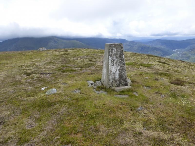
Ben Wyvis
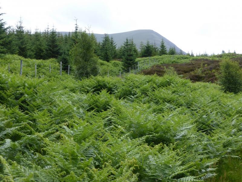
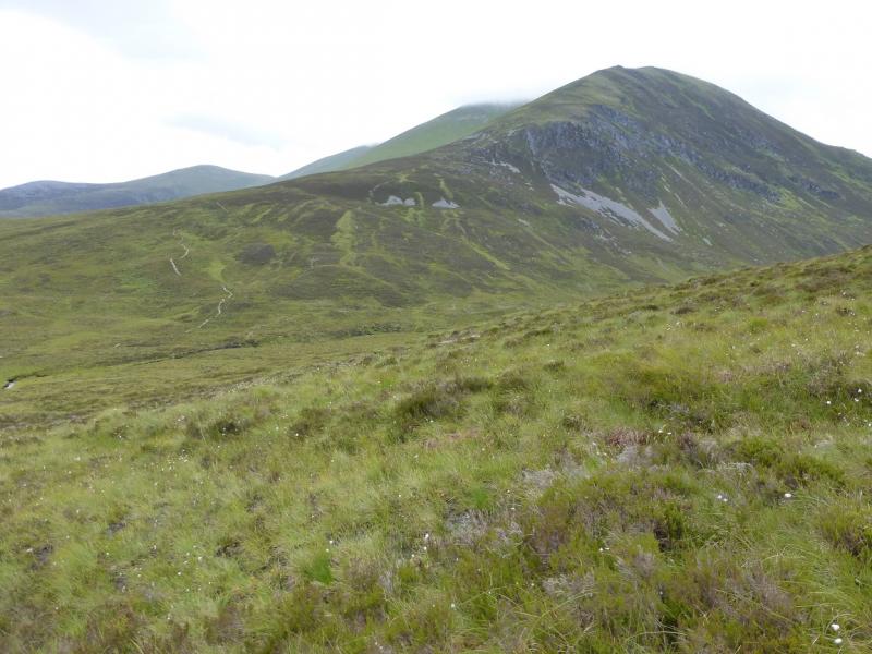
Ben Wyvis from near Garbat on A835
Start/Finish
Purpose built car park about 0.5 miles south of Garbat. This is signed on the A835 Garve to Ullapool road. If coming from the south, take the A835 from Dingwall to Garve then continue on the A835. After about a further 2 miles, there are toilets on the left. A little over 2 miles further is the car park which is a reasonable size. However, Ben Wyvis is a fairly popular hill as it is relatively easy to ascend so the car park may soon fill up on busy days.
Distance/Time
20 km. About 7 – 8 hours
Peaks
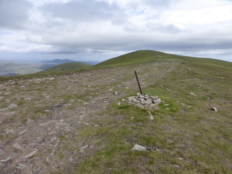
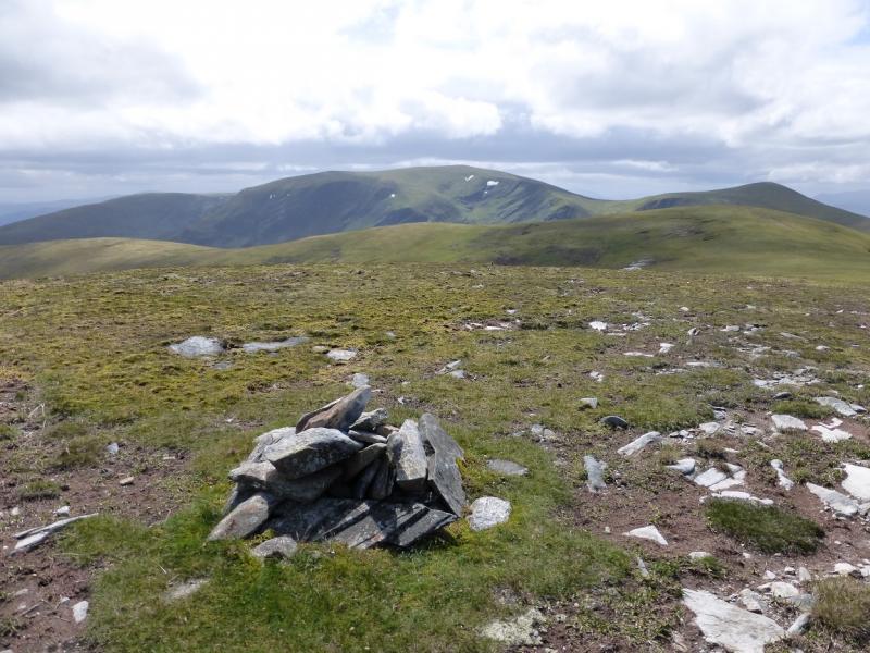
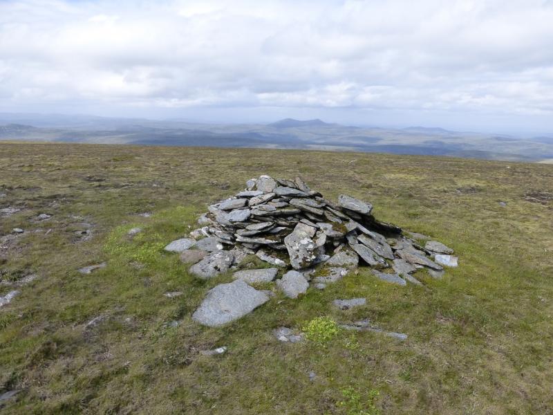
An Cabar, 946 m, NH 450 665.
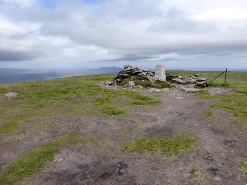
Glas Leathad Mor = Ben Wyvis, 1046 m, NH 463 683.
Tom a' Choinnich, 953 m, NH 463 700.
Glas Leathad Beag, 928 m, NH 492 706. OS map 20.
Introduction
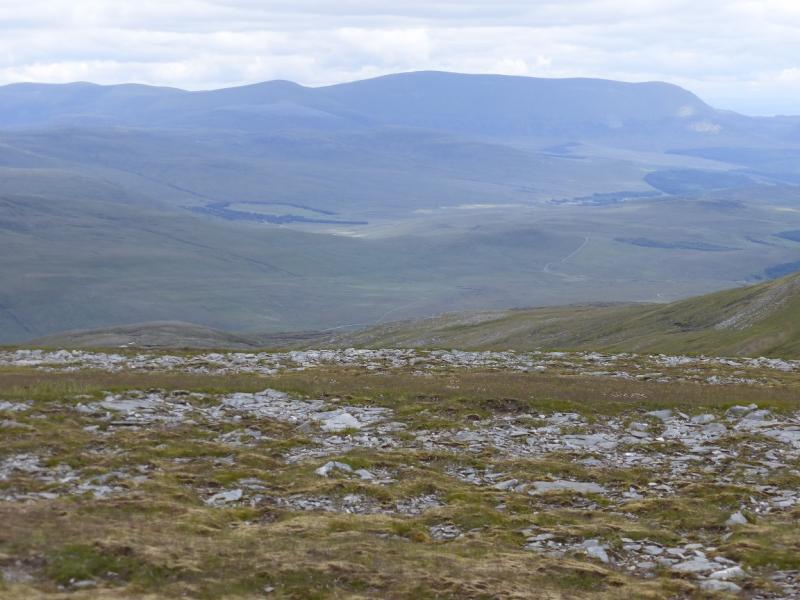
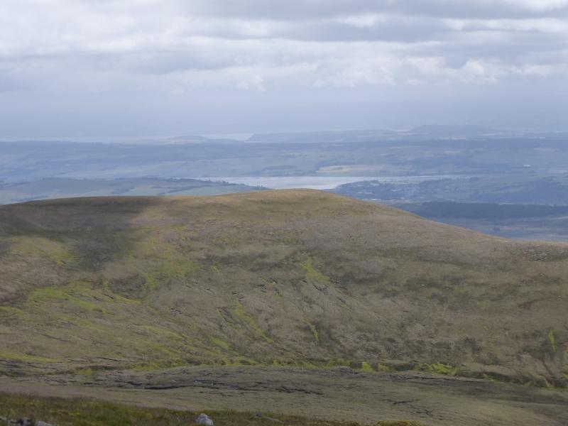
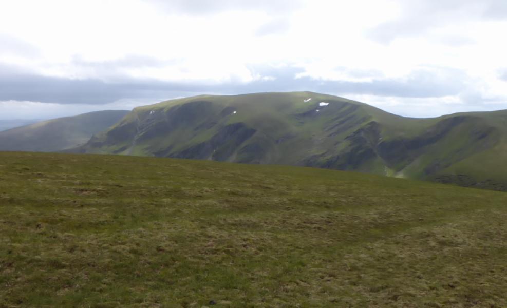
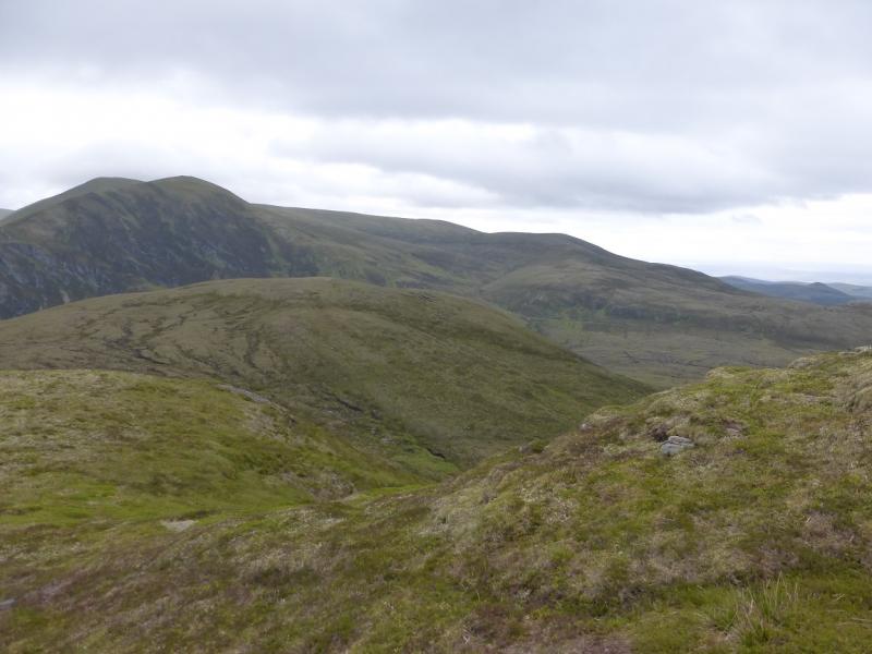
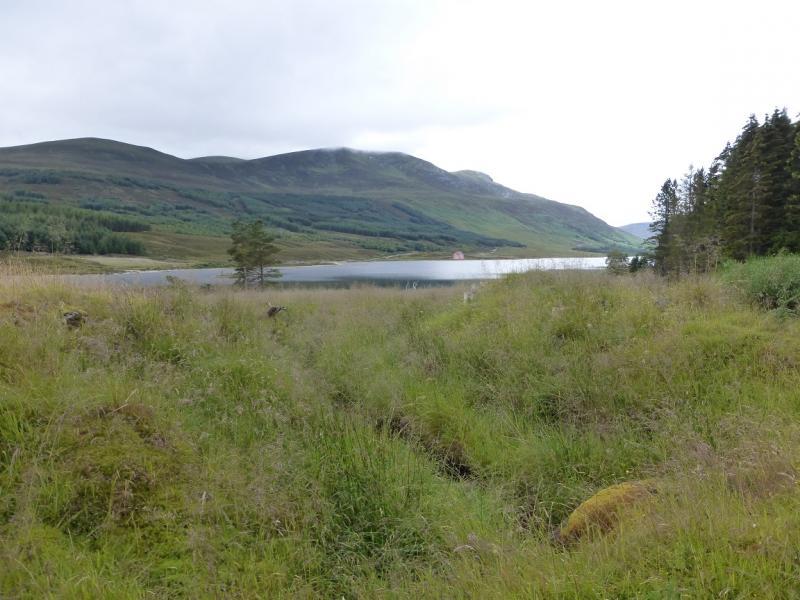
Ben Wyvis is a very large mountain throwing out ridges in all directions. It stands alone to the north of Garve and Dingwall. It is well seen from Dingwall and the A9 across the Black Isle. Many walkers just ascend An Cabar then Glas Leathad Mor before returning the same way as this is a relatively easy ascent on a new purpose built path. To include the other two Munro tops, adds about 3 hours to the day as it is a long detour out to Glas Leathad Beag. There is an argument for making Glas Leathad Beag a separate Munro as its drop on the Glas Leathad Mor side (NE bealach of Tom a' Choinnich) is about 130 m. This is greater than the drop which some separate Munros have such as Beinn Tulaichean near Cruach Ardrain in the Crianlarich hills. On a clear day, there are good views to the Fannaichs and the Beinn Dearg ranges plus coastal views including the Cromarty Firth. Note that both the forestry and tracks are different from those shown on the 1985 map. In a wet spell, the return route can be quite boggy but there will be no problems with the ascent to Ben Wyvis.
Route
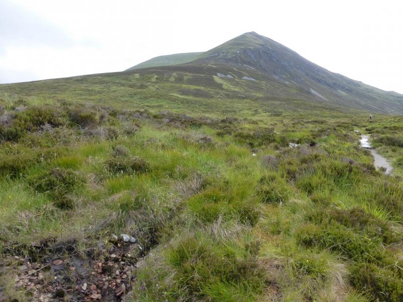
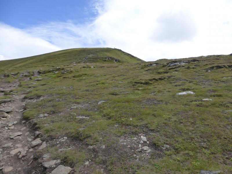
(1) From the car park, walk past the notice boards and continue up the obvious path which crosses a forestry track en route. In 2014, large timber lorries were using this track. This eventually leaves the forestry behind before heading for the W ridge of An Cabar. There are some steeper sections but the path is generally good. When the angle eases, reach a large cairn which marks the summit of An Cabar, 946 m.
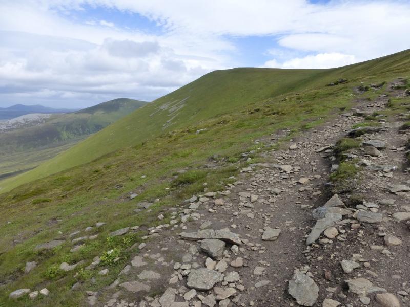
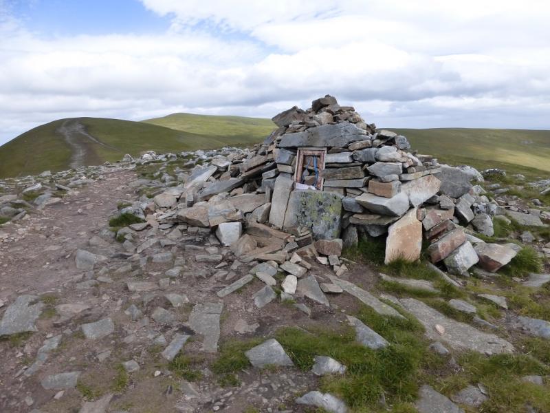
(2) Continue NNE, on a path with virtually no gradient, which goes over an unnamed top with a cairn. Other cairns are passed before the path ascends more steeply to reach a trig point inside a shelter cairn which is the summit of Glas Leathad Mor = Ben Wyvis, 1046 m. If you do not wish to go beyond the summit then the best return is to retrace your outward route.
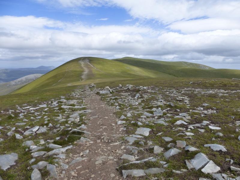
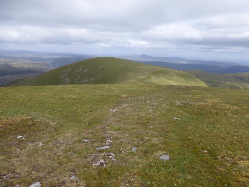
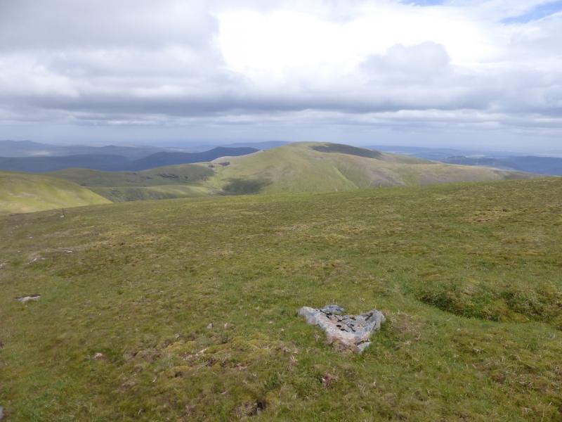
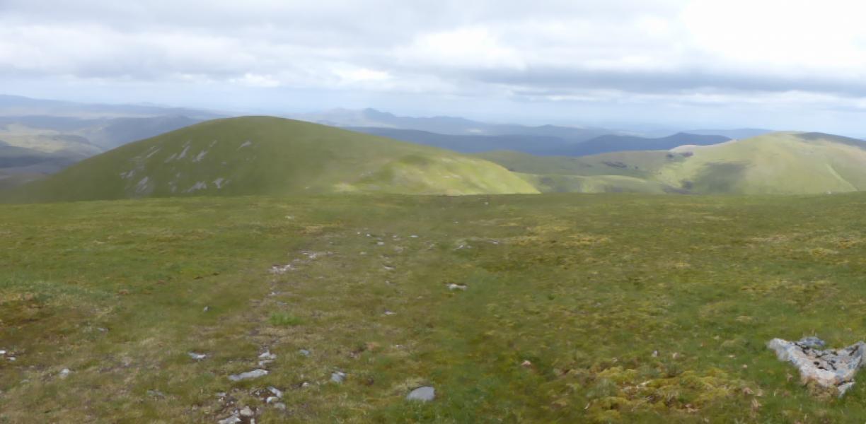
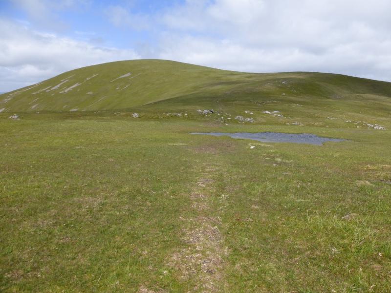
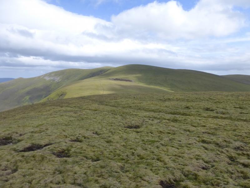
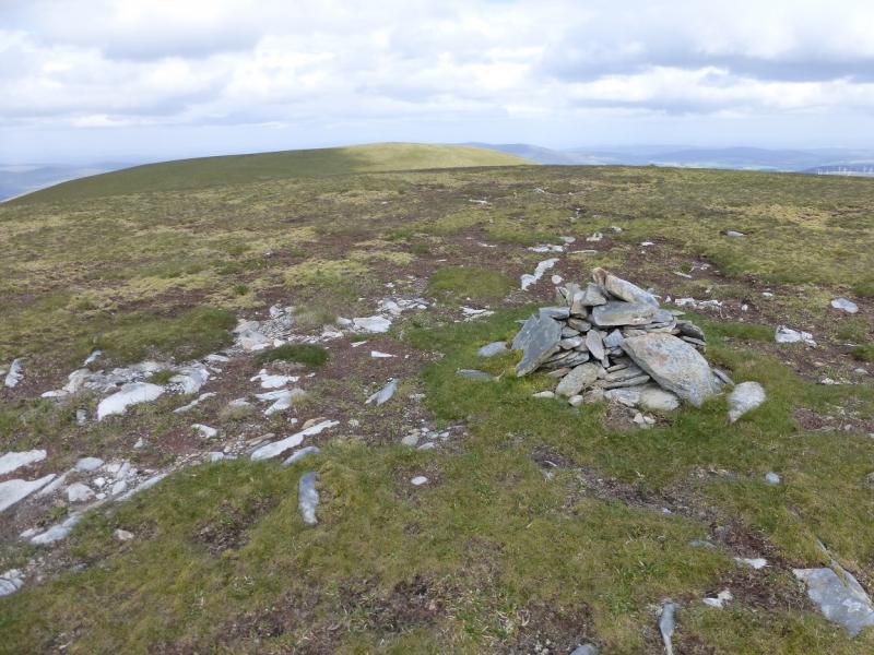
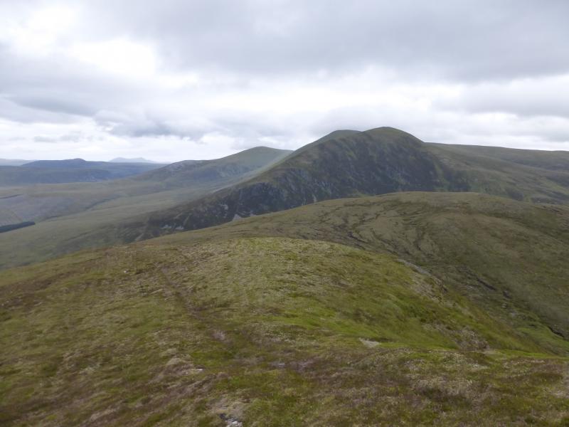
(3) Continue, almost due N, along the crest, descending to a grassy bealach below Tom a' Choinnich. Ascend N but traverse this top on its E side to gain its NE ridge and follow this down to another broad grassy bealach. Ascend E to a shoulder with a small top on it then ascend ESE up steeper grassy slopes on to a broad top. From here go ENE, crossing a shallow dip, to reach a top with a small cairn which is the summit of Glas Leathad Beag, 928 m. In clear weather, the next top along, Meall nan Bradan Leathan, may look higher or level but it is, in fact, lower. It can easily be visited if one wishes, though.
(4) Retrace to the bealach below Tom a' Choinnich then walk up its easy and grassy NE ridge to reach a medium cairn which is the summit of Tom a' Choinnich, 953 m.
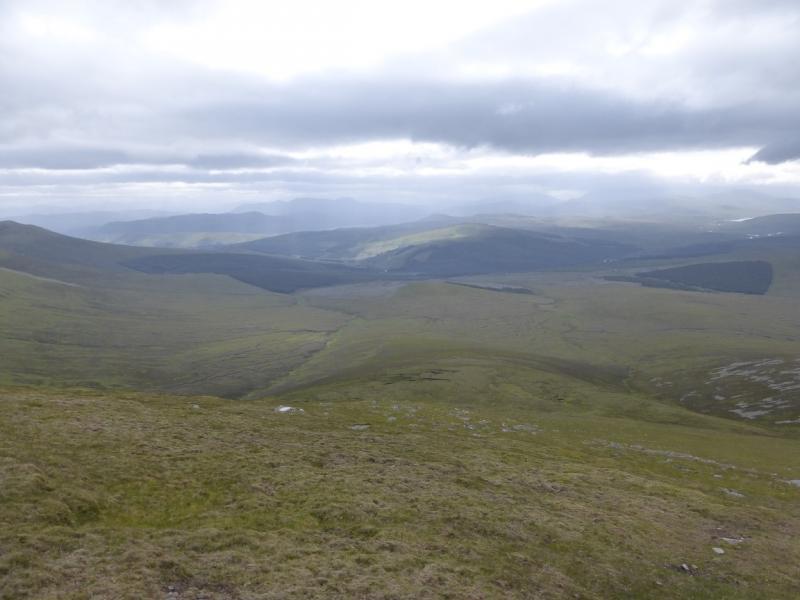
(5) Walk down the W ridge of Tom a' Choinnich. In clear weather, the distant forestry track should be visible and this is the target. There is a path initially but it soon disappears. In clear weather the ridge to the right, N, has a stony top but this is not on the route. Continue down, aiming for the main burn, Allt a Gharbh Bhaid, coming in from the left. The ground is a bit rough and boggy in places but not too bad in a dry spell. The burn is not near until the ridge has been descended and the ground is much flatter. Continue shadowing the burn, going to the left of a low mound. After this an old deer fence can be followed and there is a hint of a path. Reach an old aluminium gate laying on its side as a “bridge” across a short mossy bog. Go through the gate then drop down nearer to the river where a faint path should be found on its N bank. Follow this downstream. In places the path ascends up the bank. There is occasional old tree debris but this is not a problem. Lower down, the path becomes more defined. Unfortunately, in summer, it goes through some dense ferns so it may be better to go up the bank. The track should now be close. Just before it is reached, the river turns right coming between the path and the track! Either use the rocks to cross the river – straightforward in a dry spell – or continue along the bank for less than 100 m to reach the track by a bridge. Turn left on to the track and follow it to where the outward path crossed it earlier, just before a bridge. Turn right on to the path and walk back to the car park.
Notes
(a) This walk took place on 24th July, 1992, 19th July, 2004, and 3rd July, 2014.
(b) If you don't mind the driving, Dingwall Camping and Caravanning Club site is well placed for access to Glen Affrric, Loch Mullardoch, Glen Strathfarrar, Strathconon, Ben Wyvis, Achnasheen, Kinlochewe. Fannaichs, Loch Glascarnoch, Beinn Dearg range and lower hills on the coast. The site is virtually midge free. It pays to be a member otherwise there are surcharges. There is an over 50's discount outside of the High Season. Electrical hook ups are possible for campers. Dingwall has a 24 hour Tesco. The start is about 18 miles from Dingwall.
(c) Omitting Tom a' Choinnich and Glas Leathad Beag saves at least 3 hours.
(d) Returning via Tom a' Choinnich but omitting Glas Leathad Beag is longer than simply retracing from the main summit but saves about 2 hours by omitting Glas Leathad Beag.
(e) Once on Tom a' Choinnich, having visited Glas Leathad Beag, it is possible to return back over the main summit but this is longer, though more pleasant underfoot, than the W ridge of Tom a' Choinnich.
Photos - Hover over photo for caption. Click on to enlarge. Click on again to reduce.