Get Lost Mountaineering
You are here: Scotland » 15 Loch Broom to Easter Ross » West Of Strathcarron & Loch Vaich to Ullapool
Beinn Dearg, Cona Mheall, Meall nan Ceapraichean & Eididh nan Clach Geala
Beinn Dearg, Cona Mheall, Meall nan Ceapraichean & Eididh nan Clach Geala
from Inverlael
Start/Finish
Car park, at Inverlael, about NH 181 852, on A835 Ullapool Road. The car park is well signed and is close to a white house and old red telephone box.
Distance/Time
25 km About 10 - 11 hours
Peaks
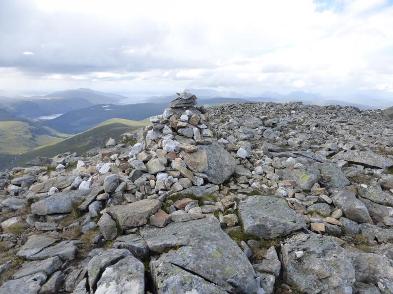
Beinn Dearg, 1084 m, NH 259 811.
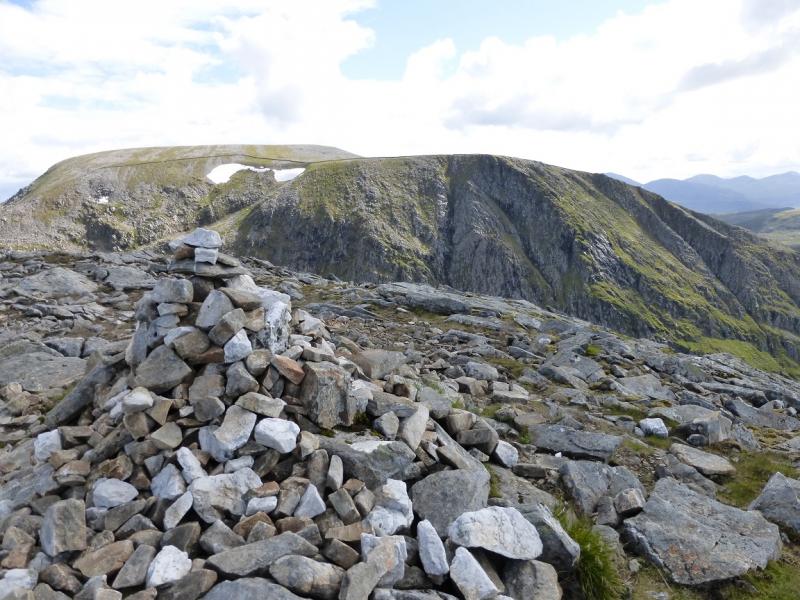
Cona Mheall, 978 m, NH 274 816.
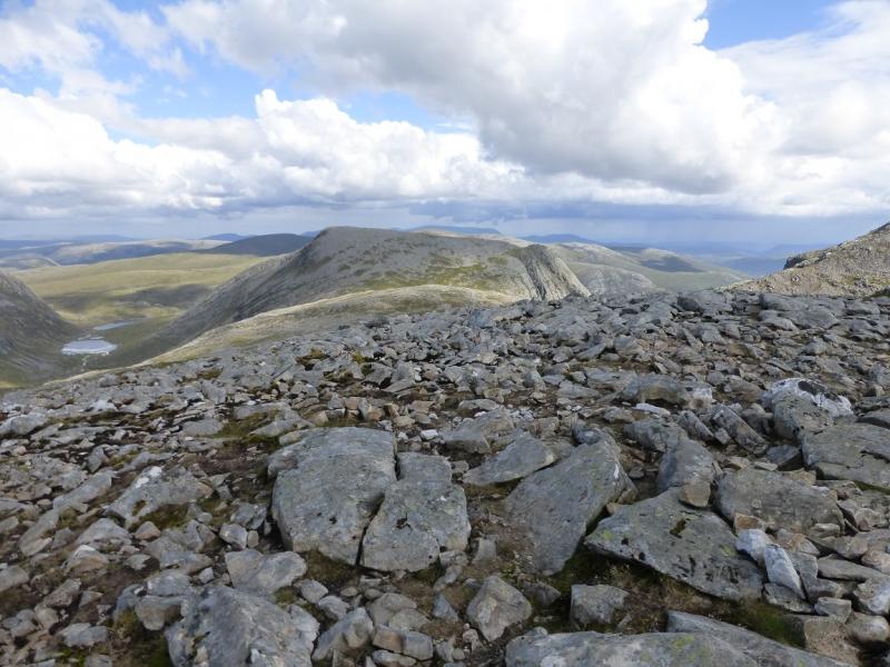
Meall nan Ceapraichean, 977 m, NH 257 825.
Ceann Garbh, 968 m, NH 259 830.
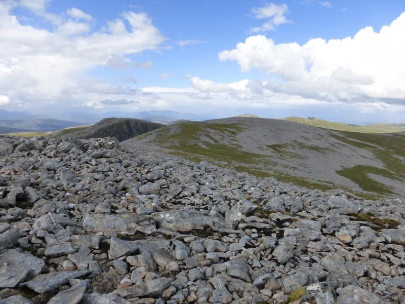
Eididh nan Clach Geala, 927 m, NH 257 842. OS map 20.
Introduction
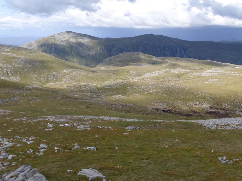
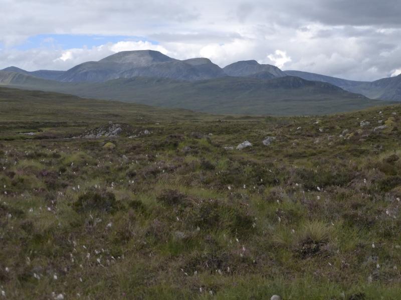
This is a tough walk with a long walk in and a long walk out. The mountains themselves are fairly close together with reasonable paths connecting them. This walk is essential for good weather as the views are superb to the other mountains in the group as well as Seanna Bhraigh to the north east. Using a bicycle can save about 8 km of walking on the forestry tracks.
Route
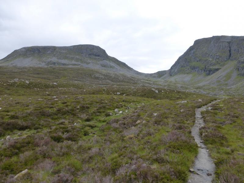
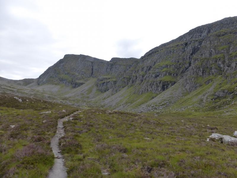
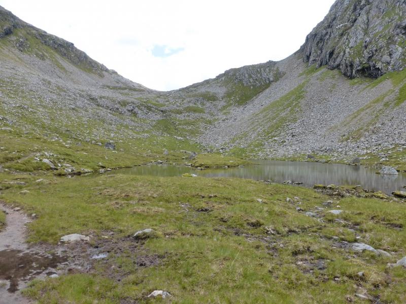
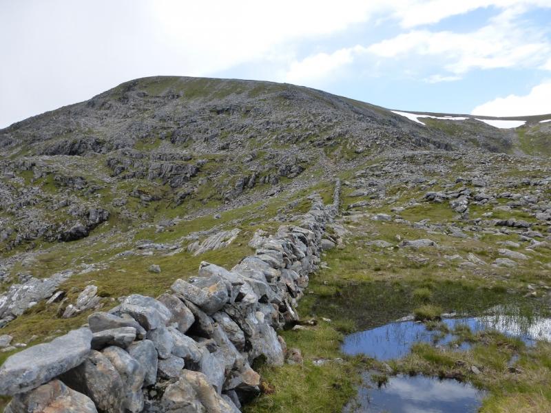
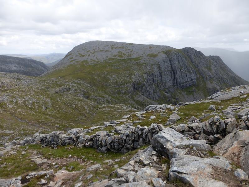
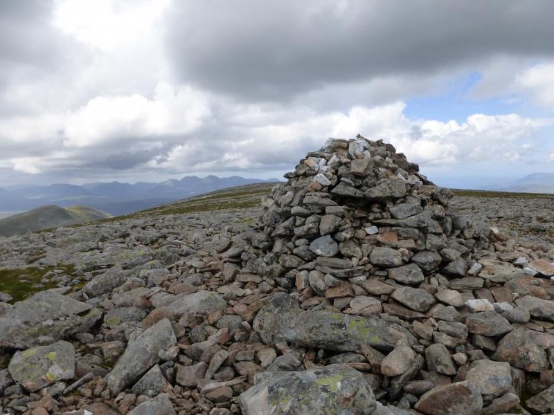
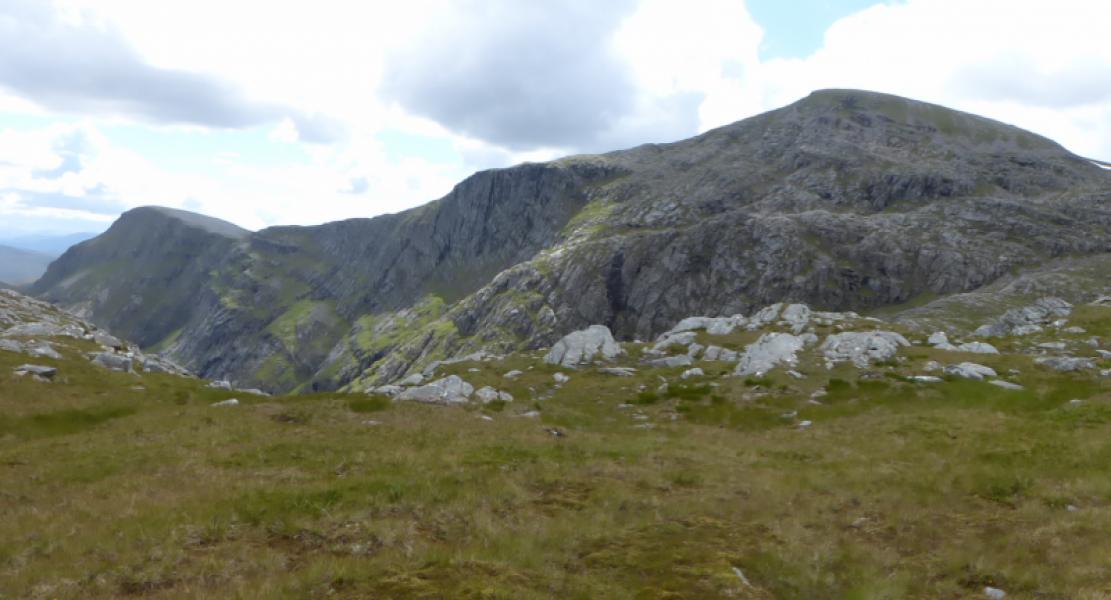
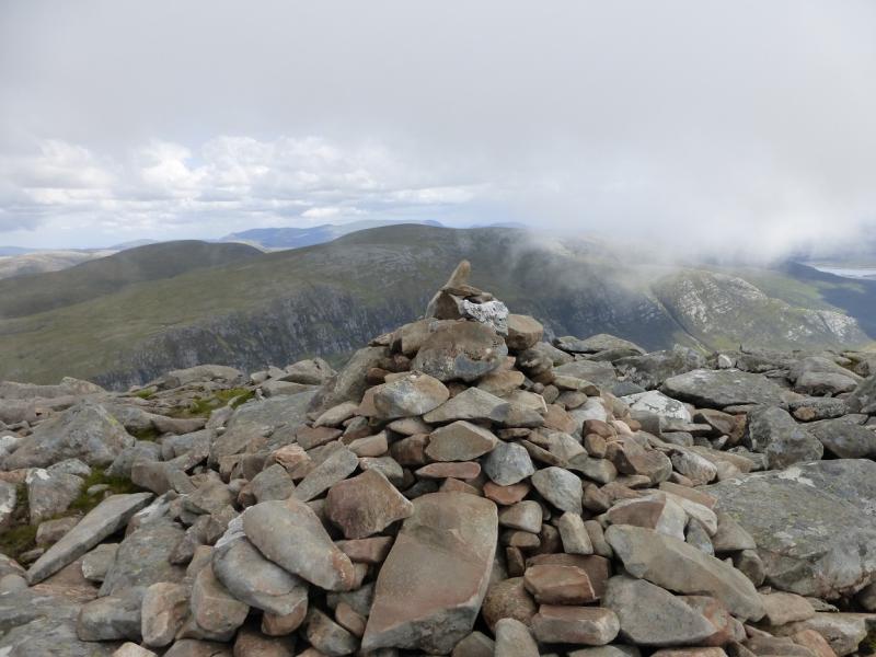
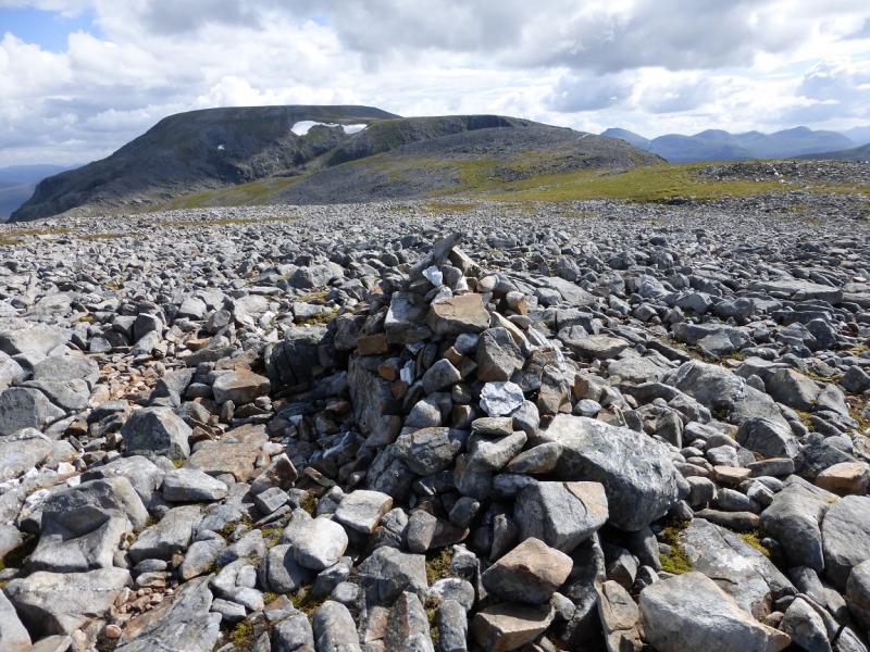
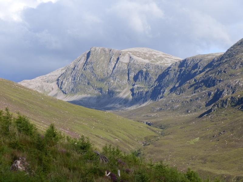
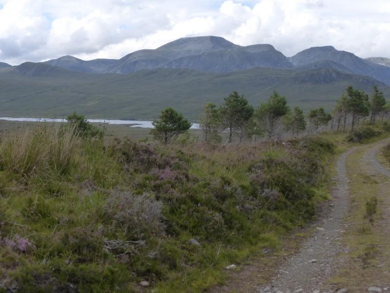
(1) From the car park, walk towards the house and the phone box. Take the track going E just before the house. Follow this track, more or less in a straight line. When a junction is reached, after about 2 km, there are three tracks to choose from. Take the one on the left and follow it across a bridge and then to the end of the forestry. It is possible to cycle to here, about 4 km each way. There are a few helpful “Beinn Dearg” signs on the way. A good path now follows the River Lael on its NE side. Follow this for about another 7 km, ignoring a left fork later on, to, eventually, reach the bealach between Beinn Dearg and Meall nan Ceapraichean. From the largest lochan go SSW to reach a wall. Follow this up on to the summit plateau. There are three paths. The one nearest the wall is the worst and the one furthest to the right of the wall is the best. Do not cross the wall low down. When a corner of the wall is met on the edge of the summit plateau, cross the wall easily and follow a faint path in roughly the same direction, SSW, past a small cairn, to reach the very large cairn which marks the summit of Beinn Dearg, 1084 m.
(2) Retrace to the edge of the plateau then go down the same path towards the bealach. Lower down, go closer to the wall and follow it to its abrupt end by a small lochan. From here a path makes a descending traverse ESE across the flank of a minor hill, whose summit is at about NH 266 819, to reach a grassy bealach to the W of Cona Mheall. Continue following the path, not that easy when it passes through stony sections. Take note of the route as the descent is the same way. The path leads on to the SSW ridge from where it is an easy walk to the large cairn which marks the summit of Cona Mheall, 978 m.
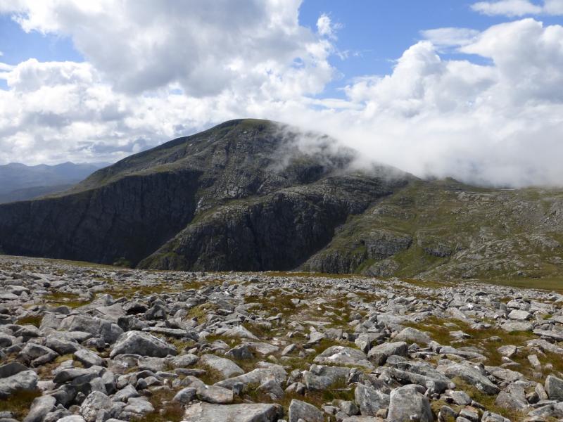
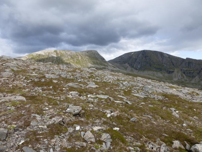
(3) Retrace to the grassy bealach then pass below the intervening hill to reach the end of the stone wall coming down Beinn Dearg. From here go roughly NW to reach the SSE ridge of Meall nan Ceapraichean. The path up this ridge is to the left, near the edge. Follow the path up easy, but stony, slopes to reach the medium cairn which marks the summit of Meall nan Ceapraichean, 977 m.
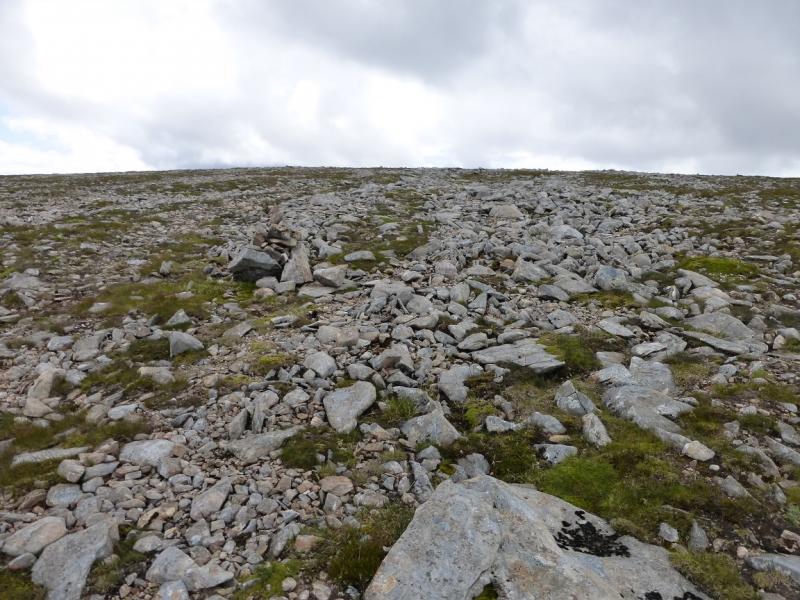
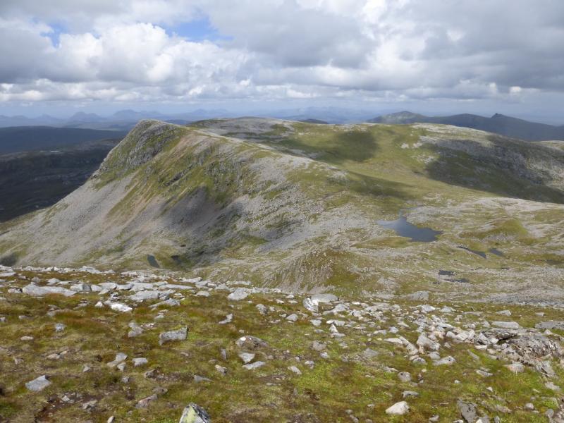
(4) Follow the broad stony crest as it curves around towards the NE. The descent from Meall nan Ceapraichean is short and the rise up even shorter to reach the medium cairn which marks the summit of Ceann Garbh, 968 m. There is not much of a path on this crest owing to the stony nature of the ground.
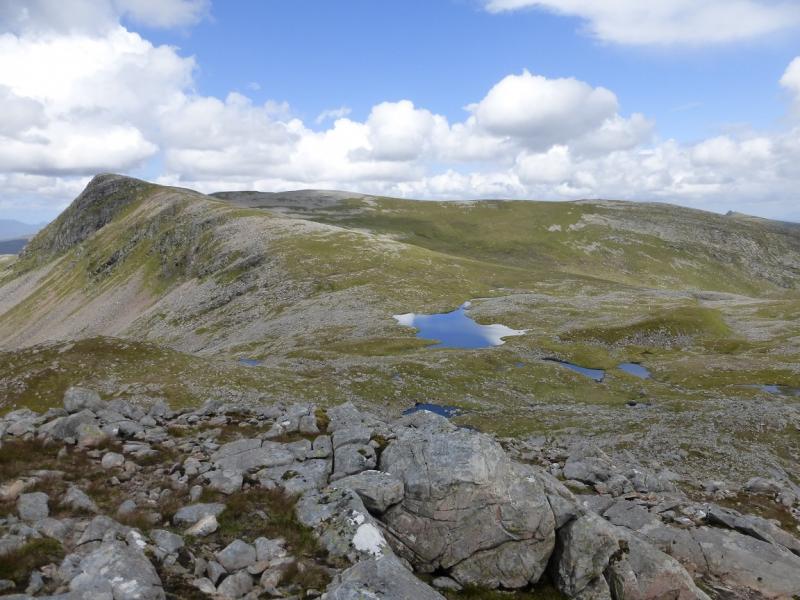
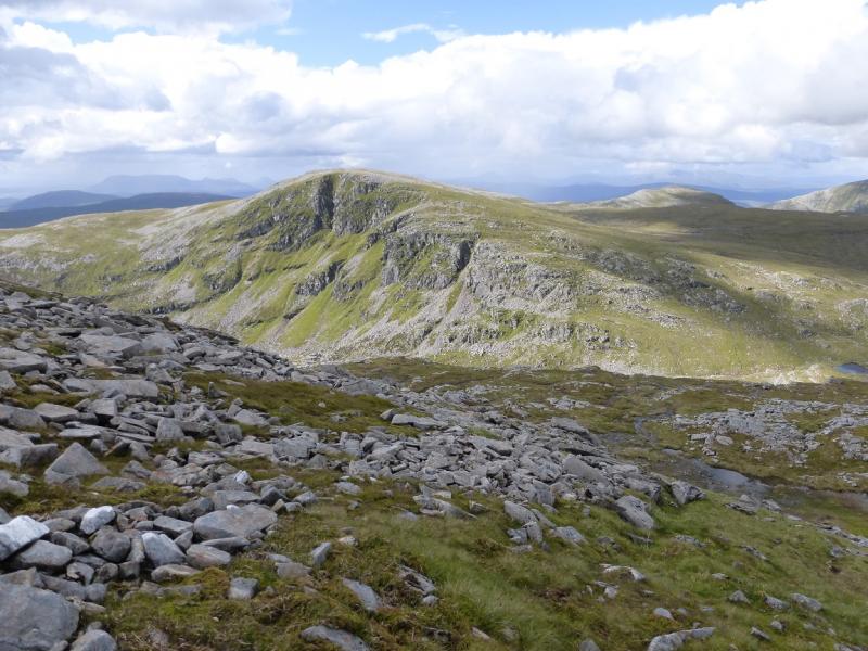
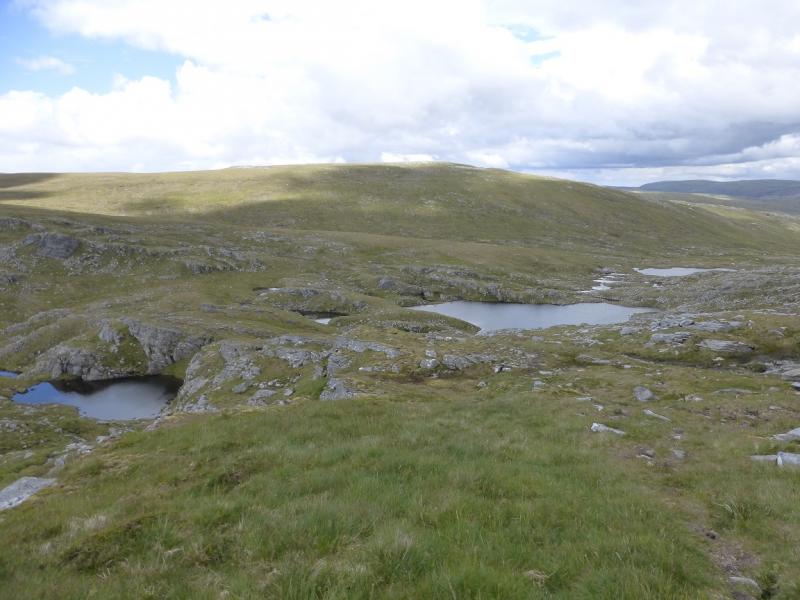
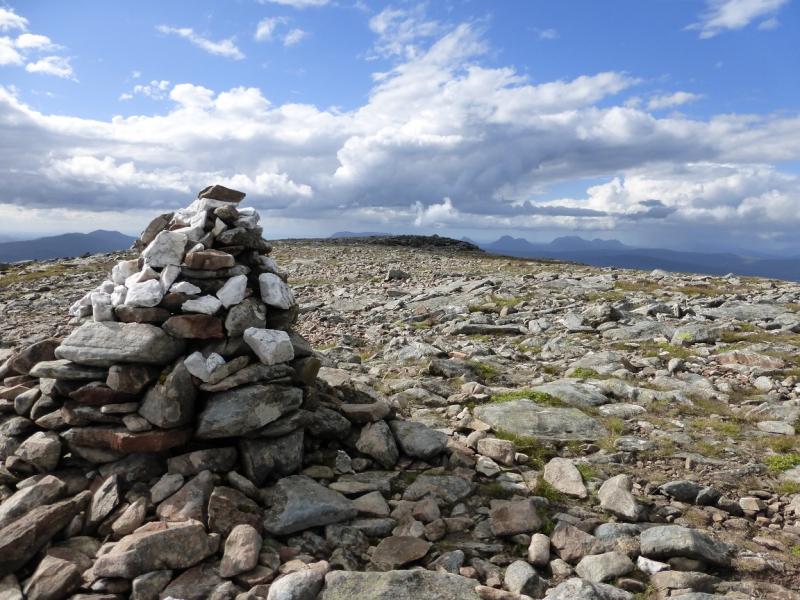
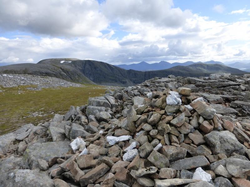
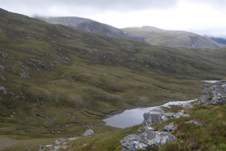
(5) Continue E, along the crest, beyond Ceann Garbh for about 300 m then descend N down a shallow grassy but very broad “gully”. There is a path but it has to be located after the stony ground is left behind. Continue down and pass to the left of the large lochan whose centre is about NH 267 837. From the lowest point – it is not a bealach – ascend mianly grassy slopes heading NW. The path is now harder to follow but the ridge is well enough defined to follow easily. Reach a medium cairn on a plateau from where a second cairn should be visible which looks higher. Continue to the second cairn which is the official summit of Eididh nan Clach Geala, 927 m. From here the first cairn now looks higher! It is prudent to visit both.
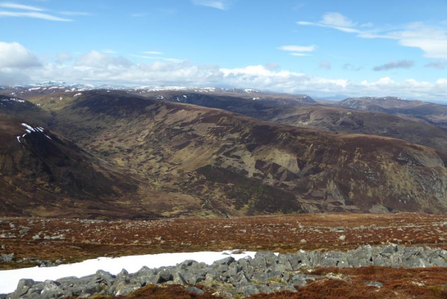
(6) From the summit, go S for a short distance to gain the grassy slopes heading WSW. Once past the rocky slopes around the summit, drift across to the crest of the WSW proper which starts from the summit but is very rocky initially hence the grassy diversion. Follow the crest of this ridge. A path drifts off left, leaving the ridge, and this eventually joins the outward path where the right fork was taken however it is possible to stay on the ridge and walk its full length. There is a path in places and the ground can be a little rough but the views are better than in the glen. The ridge continues towards Druim na Saobhaidhe. Lower down, an ATV track can be followed down the Druim. This meets a better track lower down which is the path from Seanna Bhraigh. Follow the track/path down to join a better track which descends to the outward track above the River Lael. Turn right, W, and follow the track back to Inverlael.
Notes
(a) This walk took place on 30th July, 1992, 3rd August, 2005, and 5th July, 2014. In 2005, the route was varied slightly by crossing the River Lael or taking the middle track at the junction before the River Lael is crossed by the track. just after the forestry is left then ascending rough slopes to gain the long NW ridge of Beinn Dearg. There is a wall along much of this ridge which passes about 300 m to the N of the summit. It is the same wall as in the route above. This alternative is worth considering before the heather and ferns take over the slopes in summer.
(b) If you don't mind the driving, Dingwall Camping and Caravanning Club site is well placed for access to Glen Affric, Loch Mullardoch, Glen Strathfarrar, Strathconon, Ben Wyvis, Achnasheen, Kinlochewe. Fannaichs, Loch Glascarnoch, Beinn Dearg range and lower hills on the coast. The site is virtually midge free. It pays to be a member otherwise there are surcharges. There is an over 50's discount outside of the High Season. Electrical hook ups are possible for campers. Dingwall has a 24 hour Tesco. The start is about 40 miles from Dingwall. Ullapool is a nearer base but less midge free for summer camping.
Photos - Hover over photo for caption. Click on to enlarge. Click on again to reduce.