Get Lost Mountaineering
You are here: Scotland » 15 Loch Broom to Easter Ross » Dingwall to Loch Vaich & Strathcarron
Little Wyvis
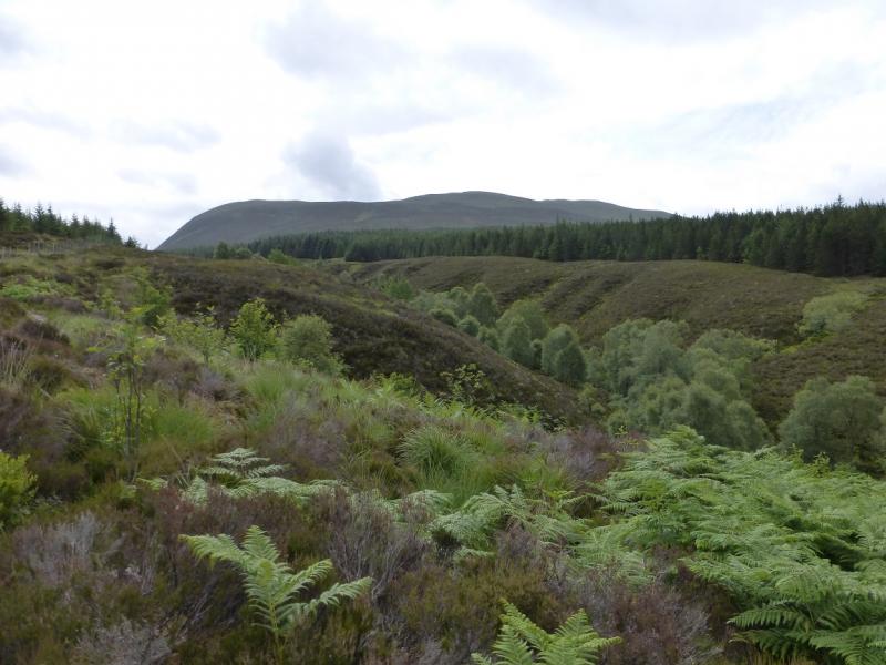
Little Wyvis from near Garbat on A835
Start/Finish
Purpose built car park, signed for Ben Wyvis, about 0.5 miles south of Garbat. This is signed on the A835 Garve to Ullapool road. If coming from the south, take the A835 from Dingwall to Garve then continue on the A835. After about a further 2 miles, there are toilets on the left. A little over 2 miles further is the car park which is a reasonable size. However, Ben Wyvis is a fairly popular hill as it is relatively easy to ascend so the car park may soon fill up on busy days.
Distance/Time
9 km. About 4 hours
Peaks
Little Wyvis, 763 m, NH 429 645. OS map 20.
Introduction
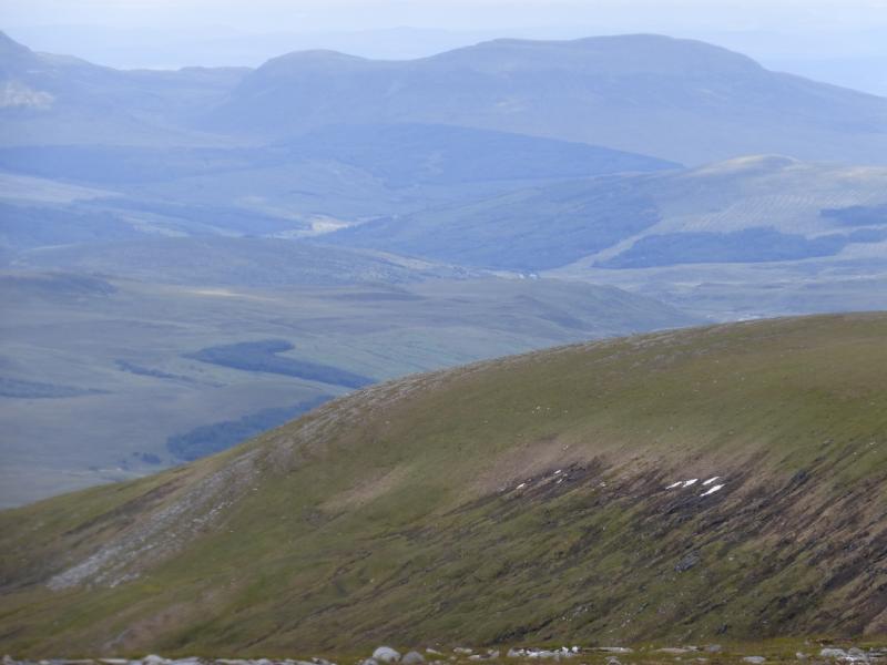
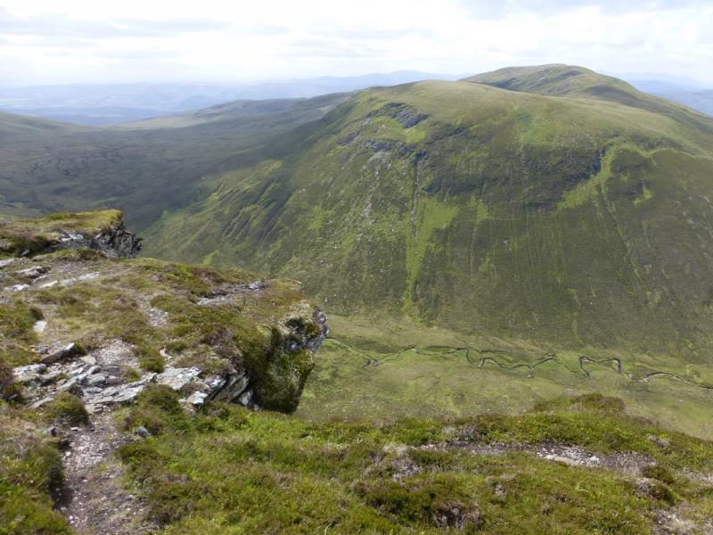
Little Wyvis may seem to be overshadowed by the much higher and larger Ben Wyvis immediately to the north but it is a distinctly separate mountain. On a clear day, there are good views to the Fannaichs and the Beinn Dearg ranges plus coastal views including the Cromarty Firth not to mention Ben Wyvis, of course. Note that both the forestry and tracks are different from those shown on the 1985 map. There is a path for most of the way to the summit but it is faint and boggy in places. Save this hill for a dry spell as there is a potentially tricky stream crossing once the forestry is left.
Route
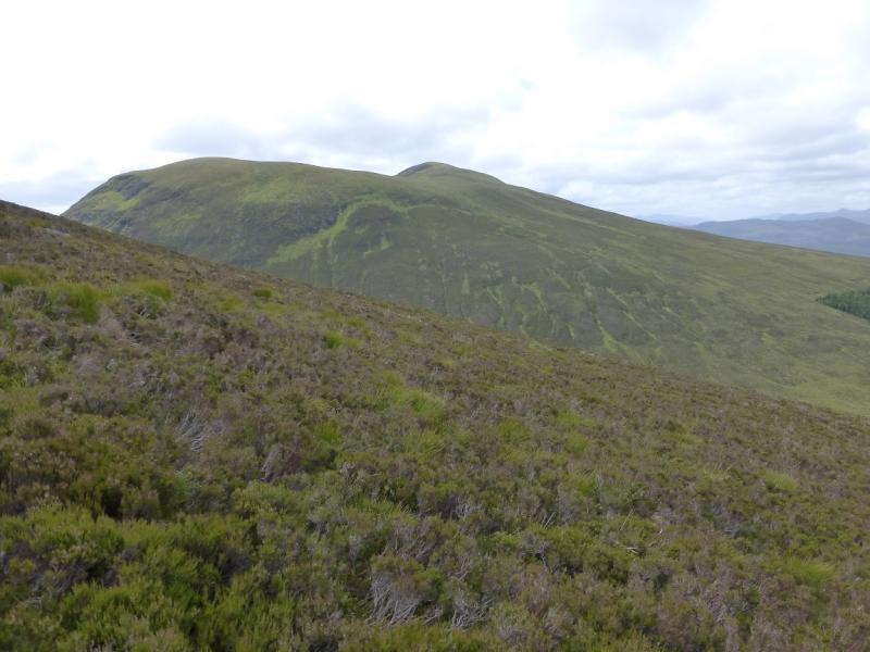
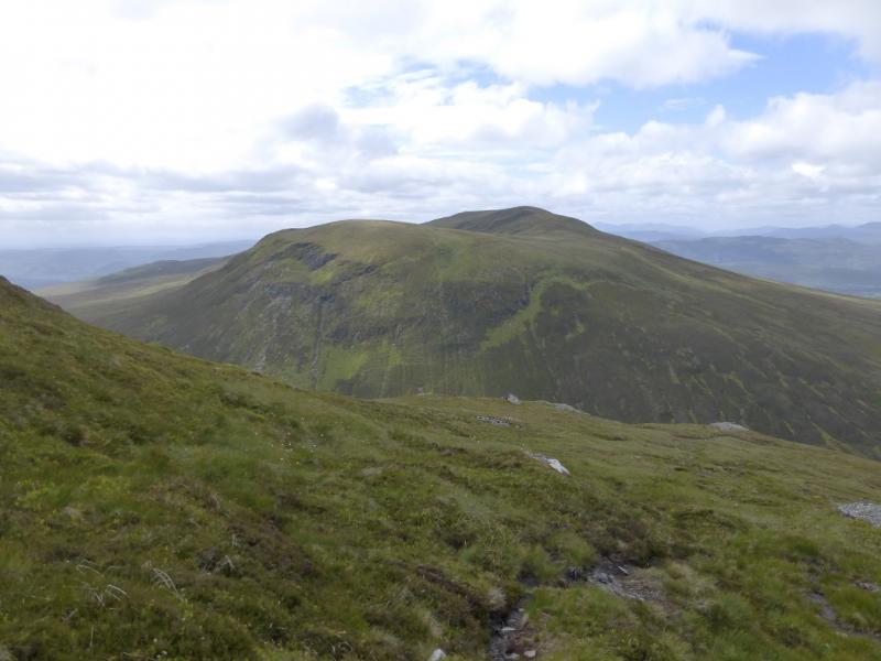
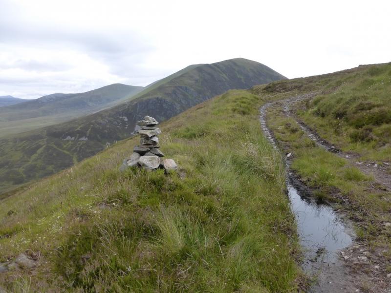
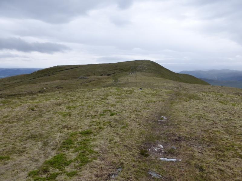
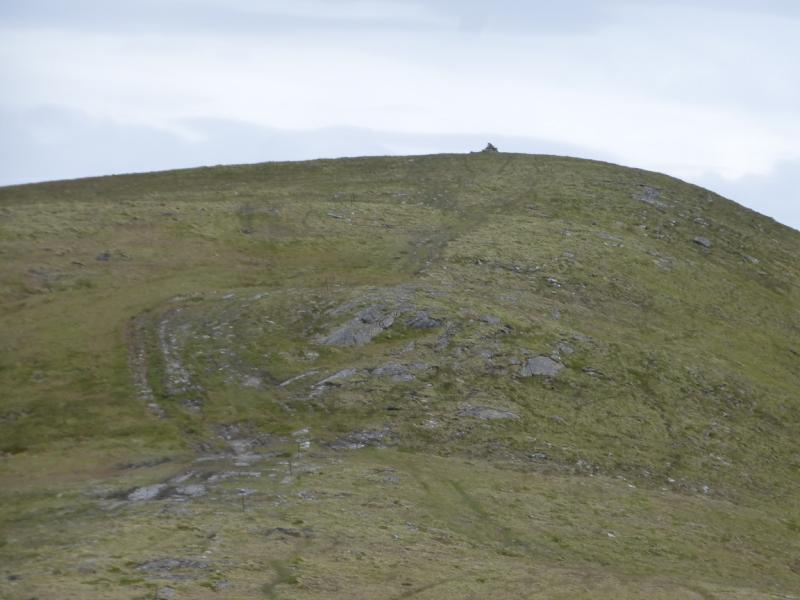
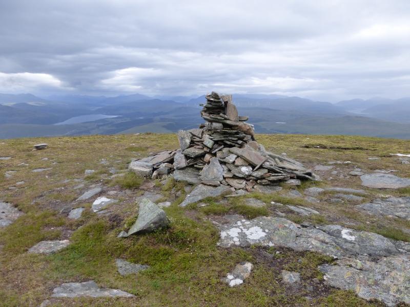
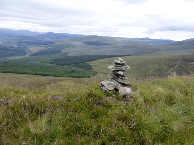
(1) From the car park, walk past the notice boards and continue up the obvious path which crosses a forestry track en route. In 2014, large timber lorries were using this track. Continue until just out of the forest and the path is close to the Allt a' Bhealaich Mhoir, the stream on the right. Look for a faint path, where the burn widens, going the few metres, (about 3) to the burn from the main path. This is just past the deer fence across the burn. There are some small rocks which form stepping stones and these can easily be crossed in a dry spell. Once across, follow a faint, sometimes boggy, path to the left of the deer fence by the side of the forest. The path is never more than 10 m from the fence. Continue to the top of the forest. From here, some metal fence post take over and the path follows these. By now, in clear weather, a small cairn should be seen on the skyline. When the fence posts seem to run out, head for this cairn. It is a small cairn and may not survive bad weather so don't bank on it. If it cannot be seen, continue on the line of fence posts after they run out. The small cairn is at the side of a rough track near a hairpin bend. From here, head directly, about SE, for the crest of Little Wyvis. There is a path but not immediately. Once on the crest there is a distinctive path which leads mainly SSW to the medium cairn which is the summit of Little Wyvis, 763 m.
(2) Retrace the outward route.
Notes
(a) This walk took place on 20th April, 2003, and 14th July, 2014.
(b) If you don't mind the driving, Dingwall Camping and Caravanning Club site is well placed for access to Glen Affrric, Loch Mullardoch, Glen Strathfarrar, Strathconon, Ben Wyvis, Achnasheen, Kinlochewe. Fannaichs, Loch Glascarnoch, Beinn Dearg range and lower hills on the coast. The site is virtually midge free. It pays to be a member otherwise there are surcharges. There is an over 50's discount outside of the High Season. Electrical hook ups are possible for campers. Dingwall has a 24 hour Tesco. The start is about 18 miles from Dingwall.
Photos - Hover over photo for caption. Click on to enlarge. Click on again to reduce.