Get Lost Mountaineering
You are here: Scotland » 14 Loch Maree to Loch Broom and Garve » Braemore Junction to Achnasheen
Fionn Bheinn & Meall a' Chaorainn
Fionn Bheinn & Meall a' Chaorainn from Achnasheen
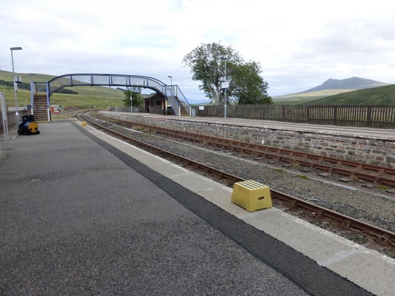
Start/Finish
Achnasheen station where there is usually plenty of free parking. Achnasheen is on the A832 road from Garve to Kyle of Lochalsh. There are toilets on the station.
Distance/Time
12 km. About 5 - 6 hours.
Peaks
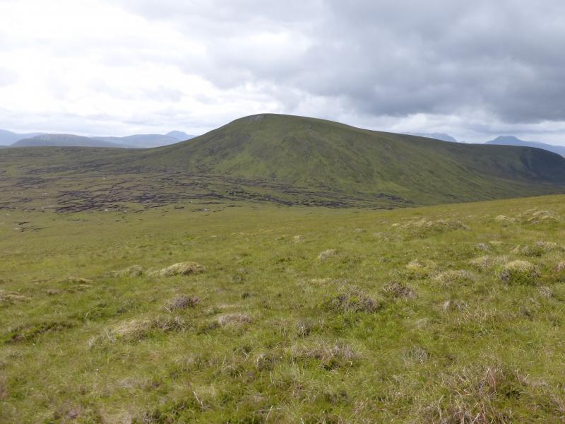
Fionn Bheinn, 933 m, NH 147 621.
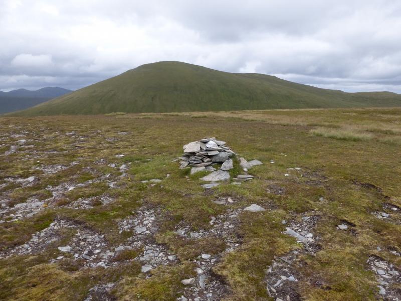
Meall a' Chaorainn, 705 m, NH 136 604. OS sheets 19, 20 & 25.
Introduction
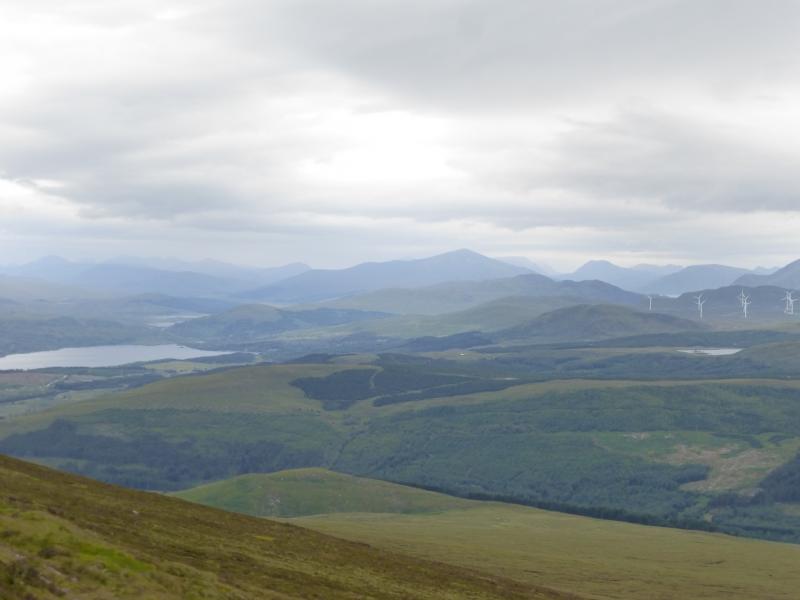
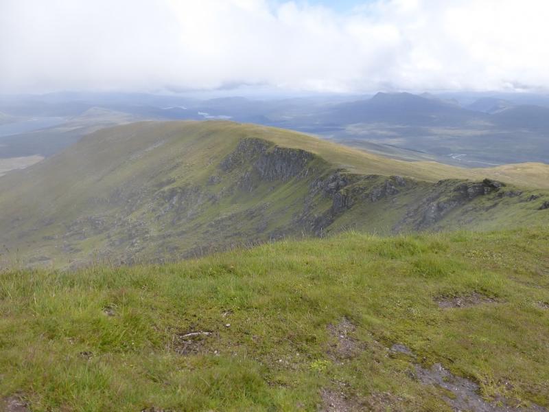
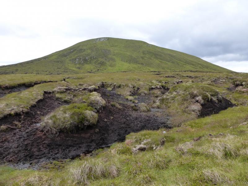
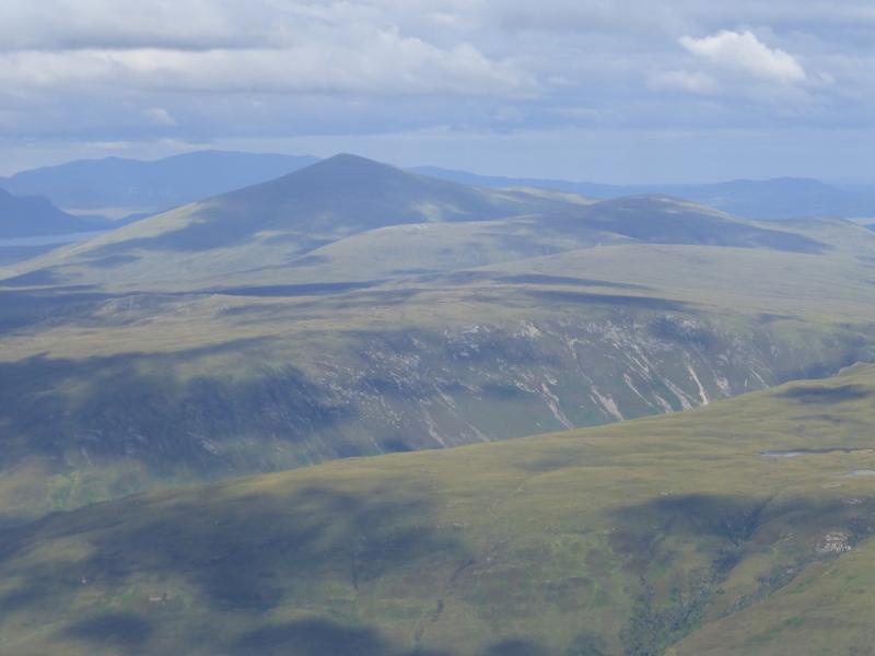
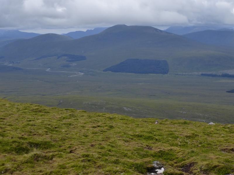
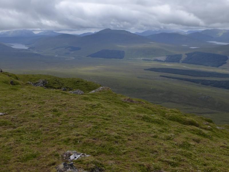
This is a fairly straightforward walk although it does cross some wet and boggy ground so is best attempted in a dry spell. Both mountains are excellent viewpoints for the Fannichs, Liathach, Beinn Eighe, Fisherfield and other hills in the area. Map wise, this is a bit of a nightmare as three different maps are needed. In this instance, it may be worth having a customised map from the O.S. Details are on their web site but they are double the price. The simplest solution is to go on a clear day when the navigation is obvious.
Route
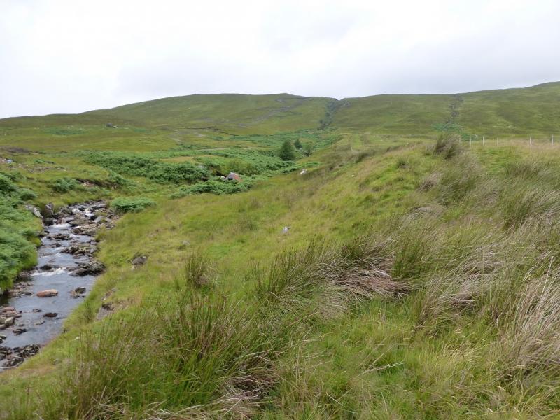
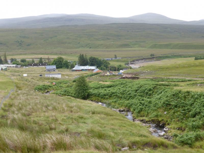
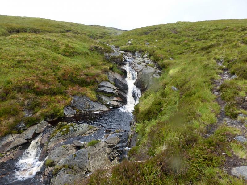
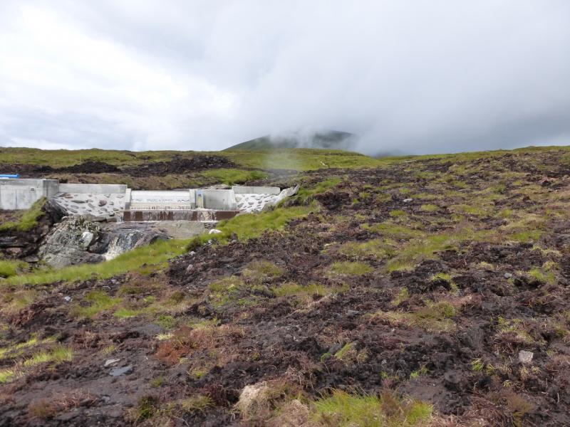
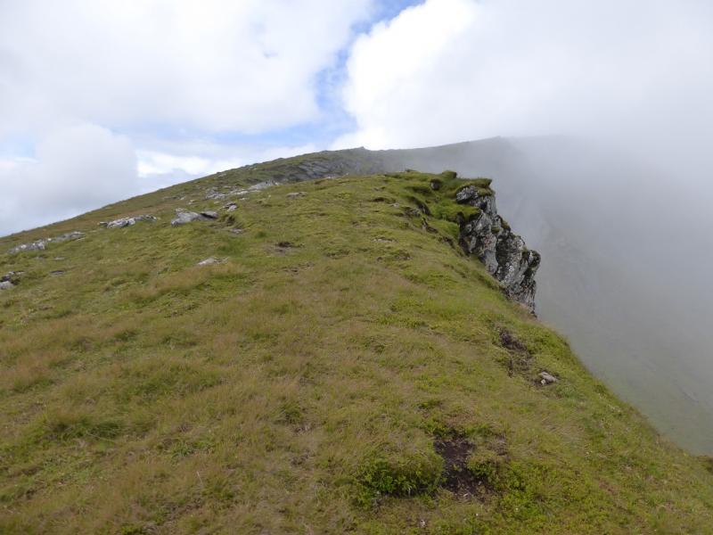
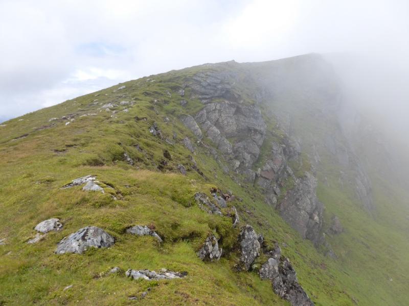
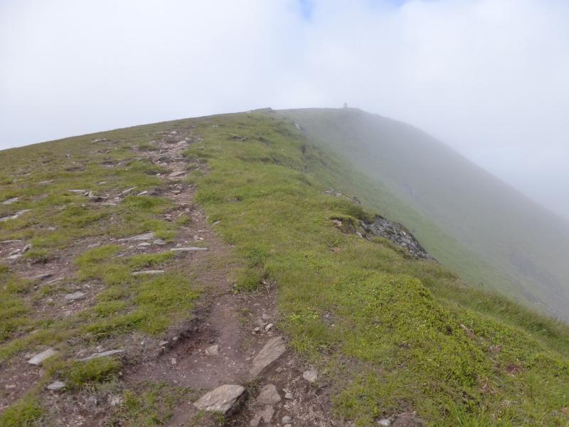
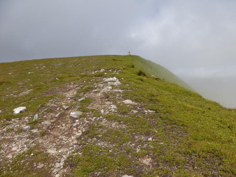
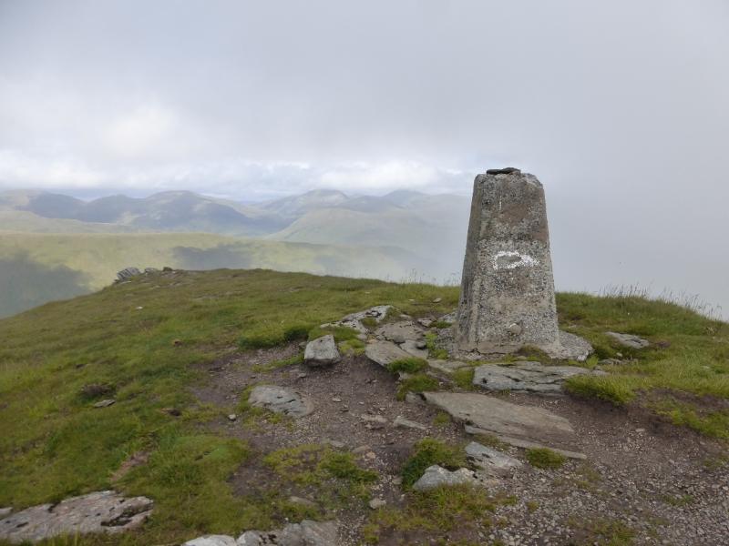
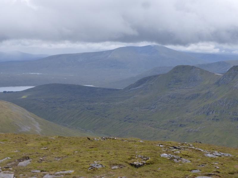
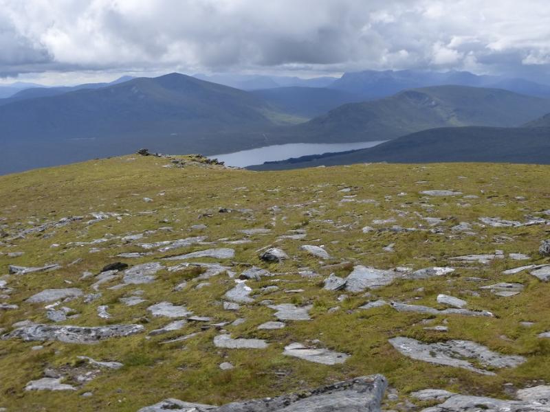
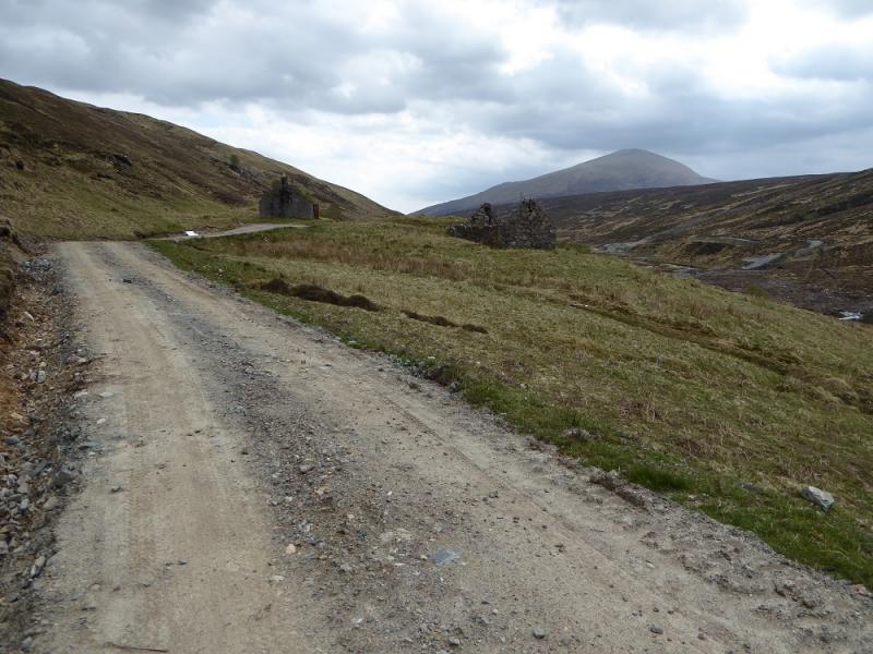
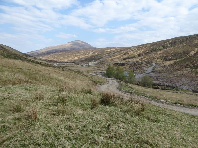
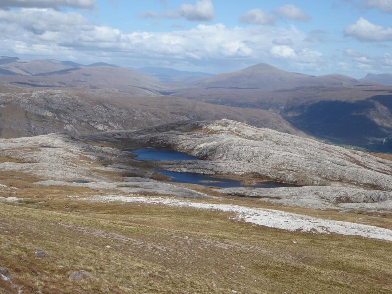
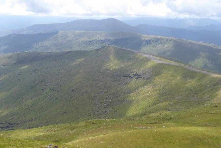
(1) Walk past the gift shop to the main road. Turn left, W, and go right on to the old road at the telephone box. Cross the old bridge then turn right on to a track. Follow this to a white cottage back across the burn which is where the path starts. Follow the path up the E side of the Allt Achadh na Sine. The path is boggy in places. Note the track on the other side of the burn as it will be used in descent. Some waterfalls are passed. At the top, there is a weir which is part of a new hydro-electric scheme. Continue on the path which swings NE and crosses a wettish grassy area. The path can be difficult to follow here. Either, follow the same burn up to the bealach to the E or go up the ridge on the right known as Creagan nan Laogh. Once on the crest, follow it N to join the E ridge and follow it W, with very steep grassy slopes on the right, up a well defined ridge to reach the trig point which marks the summit of Fionn Bheinn, 933 m.
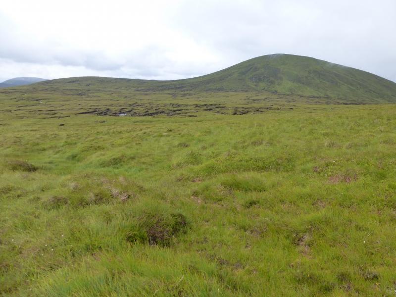
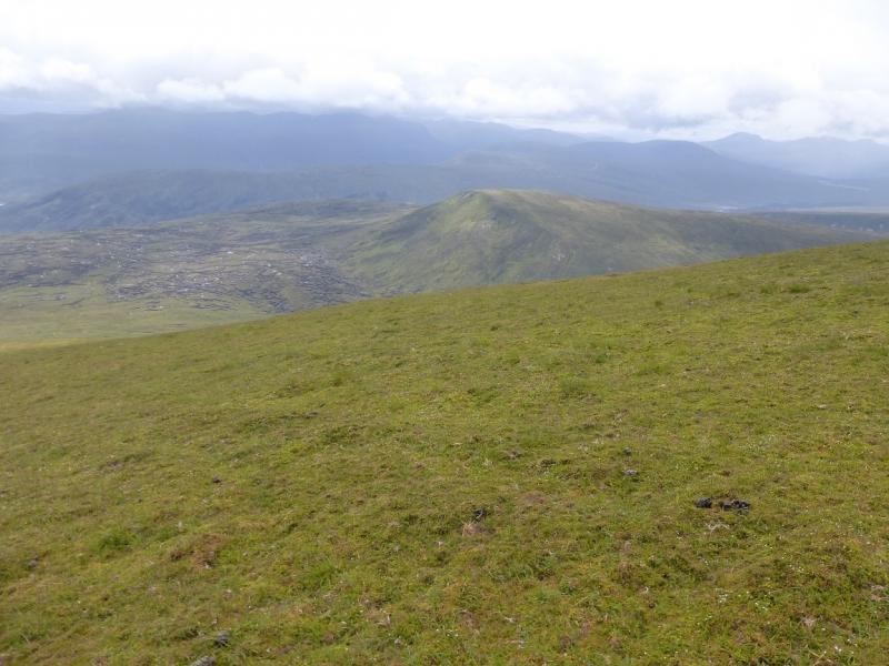
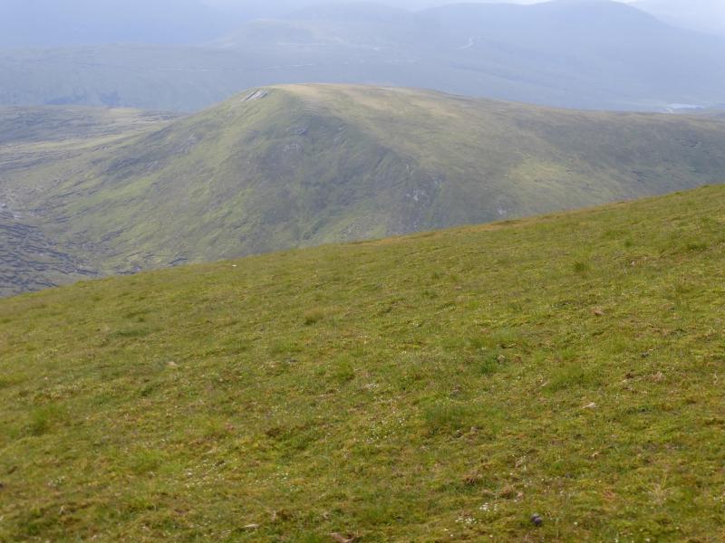
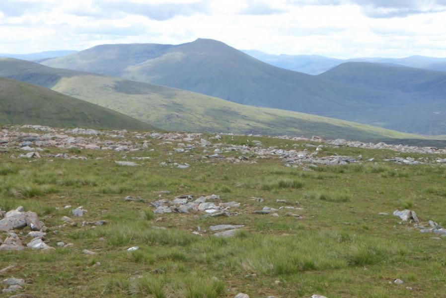
(2) Descend SSE down easy slopes to reach the Allt Achadh na Sine then go SW, aiming for the bealach which is a collection of boggy peat hags. Progress through these can be slow as many detours will be taken. Eventually reach the foot of the E flank of Meall a' Chaorainn. Pick a way up the fairly easy slopes to reach a plateau where a medium cairn marks the summit of Meall a' Chaorainn, 705 m.
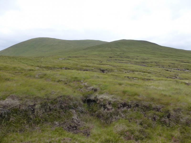
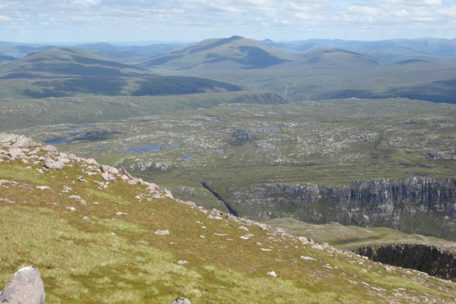
(3) If it is clear, pick as good a route as can be seen through the peat hags and follow it. The direction is roughly SE. Once through the peaty area, continue to intercept the rough track which runs down from the hydro weir to Achnasheen. Follow this down, crossing the burn to the outward track at any suitable point – probably when the track becomes much less steep – then walk back to the start.
Notes
(a) This walk took place on 26th July, 2004, and 15th July, 2014. On 3rd August, 1992, only Fionn Bheinn was ascended.
(b) If you don't mind the driving, Dingwall Camping and Caravanning Club site is well placed for access to Glen Arric, Loch Mullardoch, Glen Strathfarrar, Strathconon, Ben Wyvis, Achnasheen, Kinlochewe. Fannaichs, Loch Glascarnoch, Beinn Dearg range and lower hills on the coast. The site is virtually midge free. It pays to be a member otherwise there are surcharges. There is an over 50's discount outside of the High Season. Electrical hook ups are possible for campers. Dingwall has a 24 hour Tesco. Achnasheen is 29 miles from Dingwall.
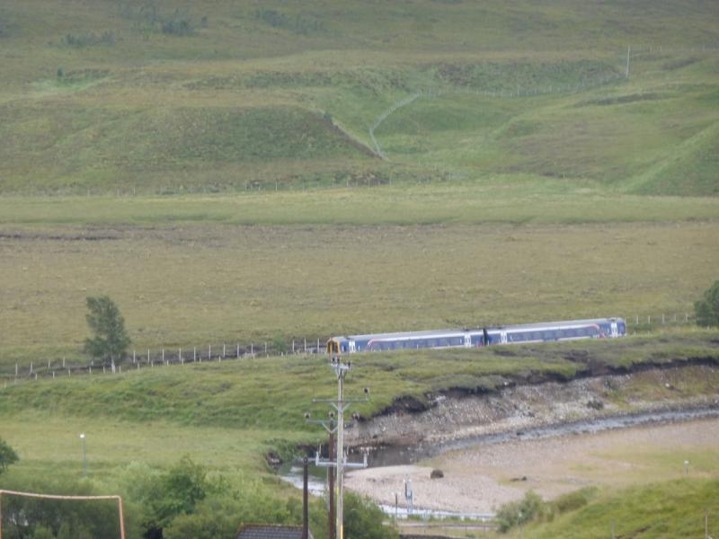
(c) If staying near a station on the Inverness to Kyle of Lochalsh, it would be possible to use a train to get to the starting point.
Photos - Hover over photo for caption. Click on to enlarge. Click on again to reduce.