Get Lost Mountaineering
You are here: Ireland » South » Waterford, Kilkenny & Carlow
Slievenamon
Slievenamon from Kilcash
Start/Finish
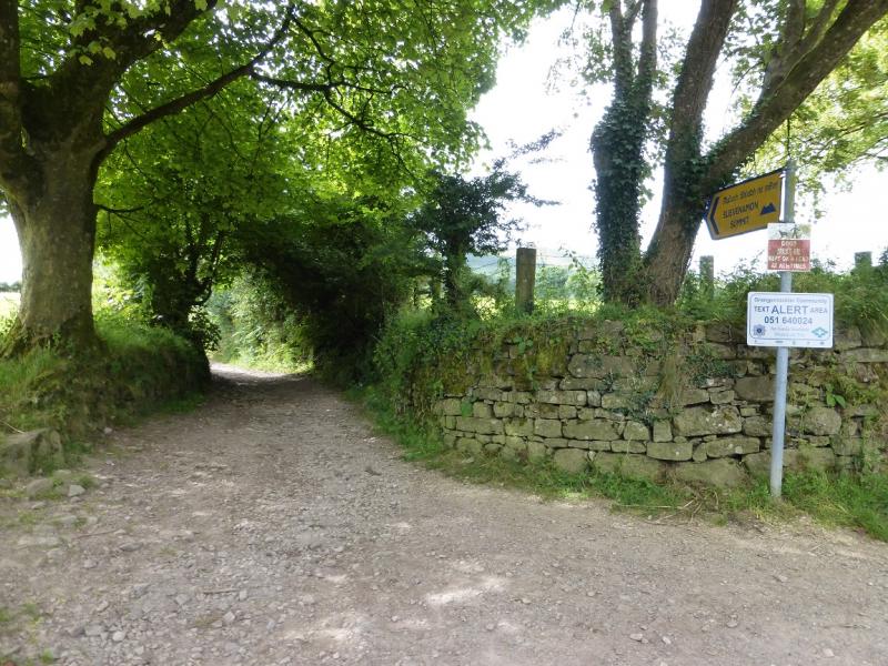
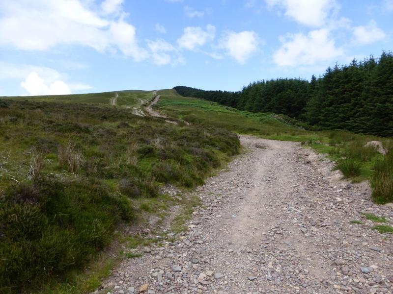
From Clonmel, drive east along the N24 signed for Waterford. About 4 miles/6 km from Clonmel, the road spilts at a roundabout. Take the N76 for Kilkenny. In about 1 mile/1.5 km, take the left turn for Fethard which is signed for Slievenamon. After about 500 m, turn right, again signed for Slievenamon. Follow this road through Kilcash continuing to follow signs which will soon say Slievenamon Summit. These lead to the start of a narrow stony lane which is also signed Slivenamon Summit. Cars can be left on the public road but one may have to go back towards Kilcash at busy times.
Distance/Time
5 km. About 2 hours
Peaks
Slievenamon, 720 m, S 297 307. (Irish National Grid System)
Irish OS Discovery Series Maps 67 & 75 – both needed (1:50000)
Introduction
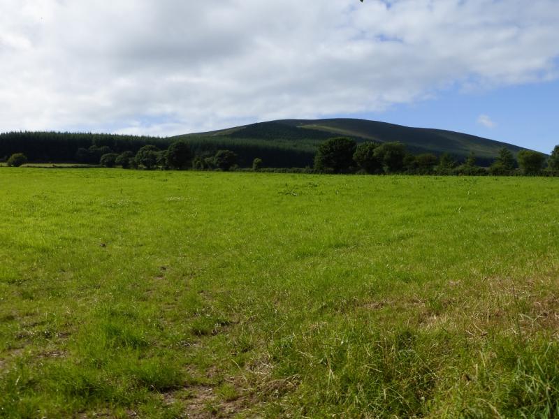
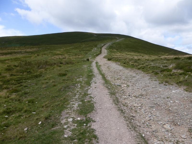
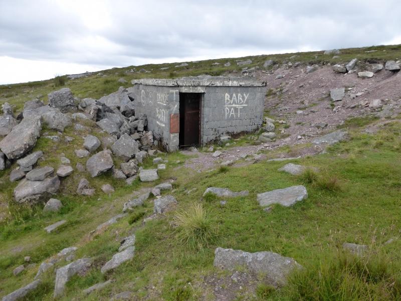
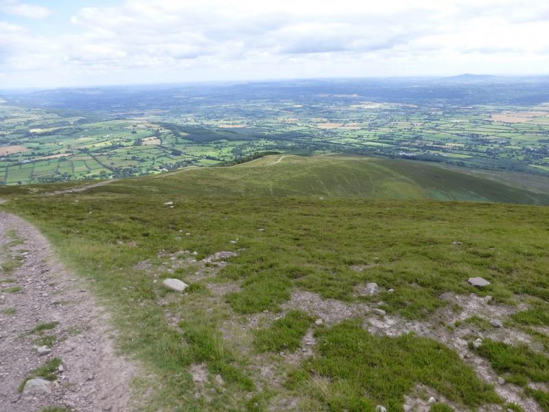
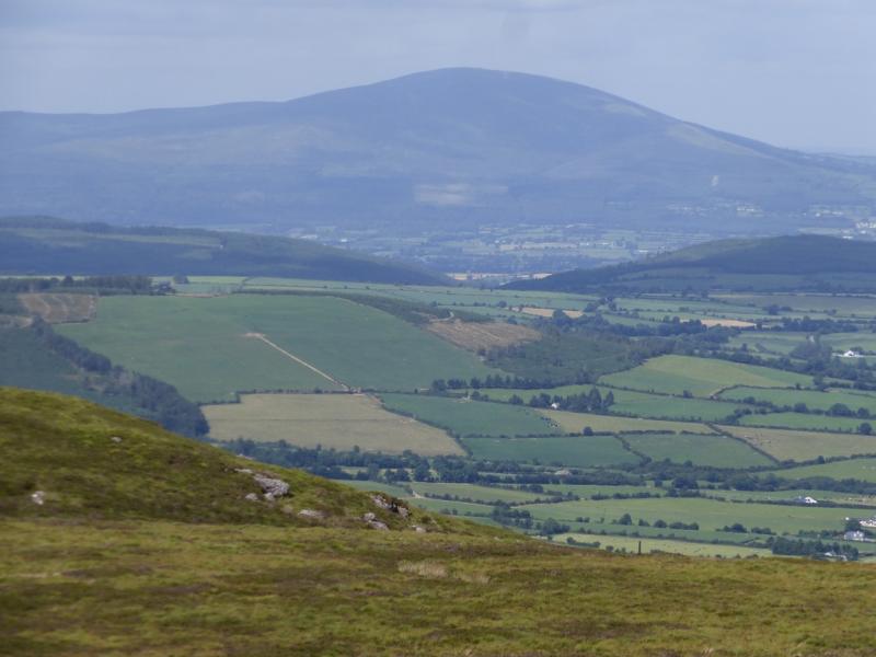
Slievenamon is an isolated hill which offers good views southwards towards the Comeragh Mountains. Further west are the mountains around the Vee Gap and further west still are the Galtee Mountains. Navigation is very easy, even in mist. There is an old hut below the summit if one is caught in bad weather. The summit itself is probably an ancient burial cairn. The path feels steeper than it looks but there should be no difficulties here.
Route
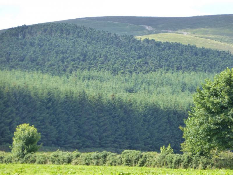
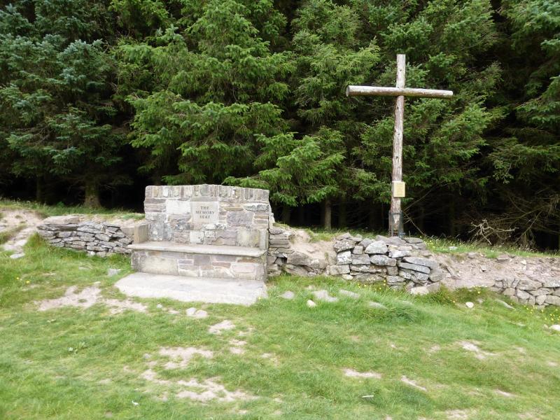
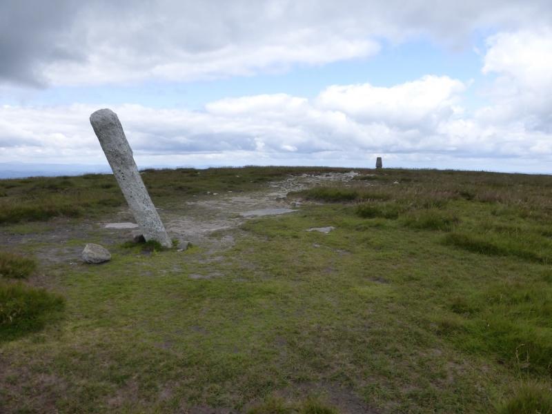
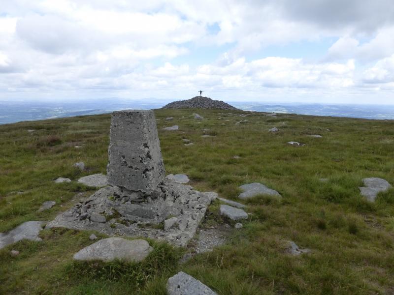
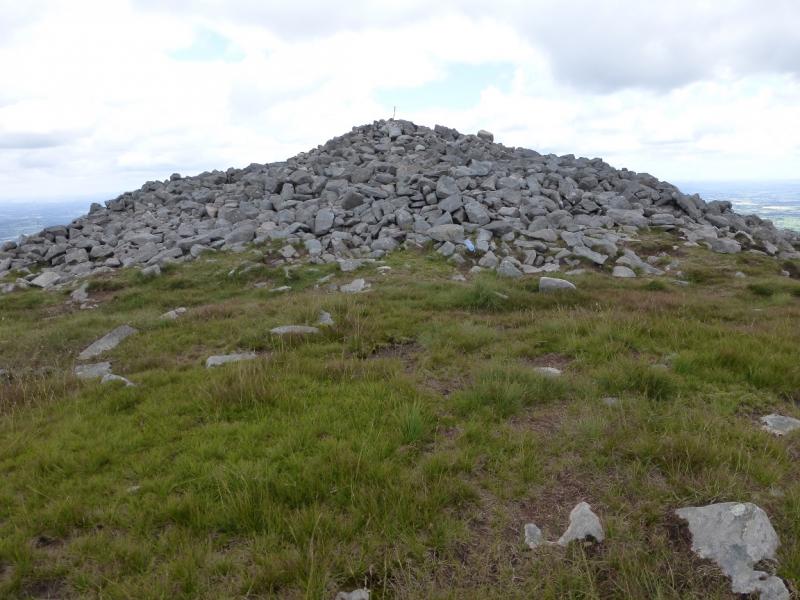
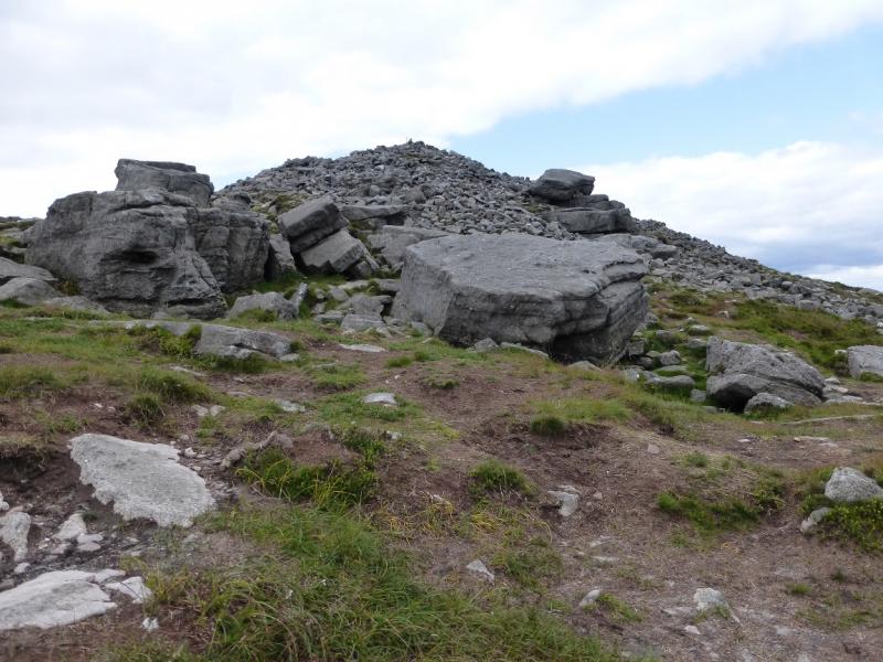
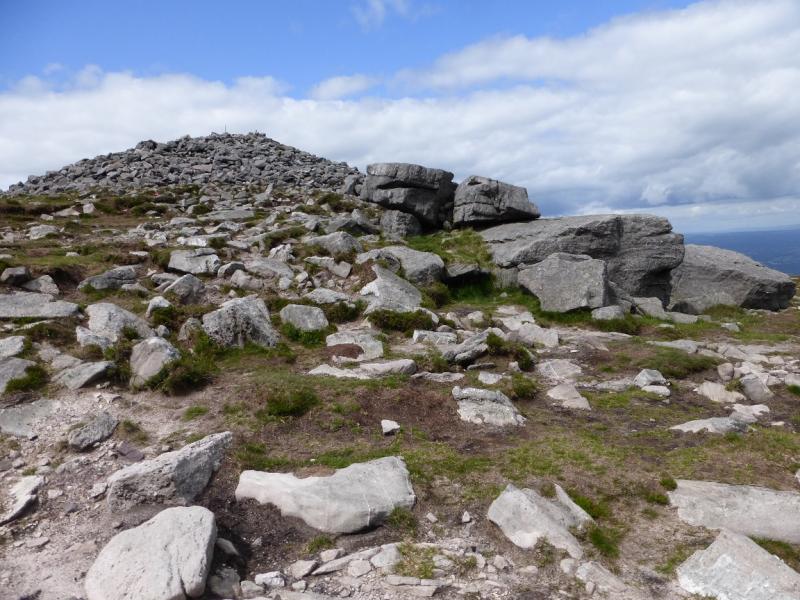
(1) Walk up the stony lane to a gate just before the forest. Continue on the obvious path with the edge of the forest on your right. When the forestry runs out, continue on the path. When its angle eases and it swings right by a cairn, continue and either stay on the path past a larger cairn or soon go left to reach the old hut. From the hut go right to reach a substantial concrete post just before the trig point with a huge cairn/mound to the east. If staying on the main path, the huge cairn is reached first. It has some boulders on its eastern side. It is hard to tell whether the trig point or the cairn is the actaul summit of Slievenamon, 720 m, but they are only about 50 m apart so both are easily visited and there is no dip between them.
(2) Retrace the outward route.
Notes
(a) This walk took place on 27th July, 2014.
(b) There is a very good camp and caravan site, at “The Apple” which is 4 miles/6 km from Cahir and 6 miles/9 km from Clonmel on the N24 trunk road from Limerick to Waterford. It is a commercial apple growing farm. There are all the usual facilities at no extra cost including Wi-Fi. Prices are very reasonable.
Photos - Hover over photo for caption. Click on to enlarge. Click on again to reduce.