Get Lost Mountaineering
You are here: Ireland » South » Waterford, Kilkenny & Carlow
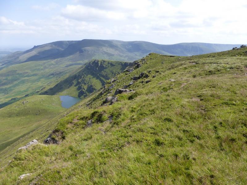
Fauscoum from Kilclooney car park
Fauscoum from Kilclooney car park
Start/Finish
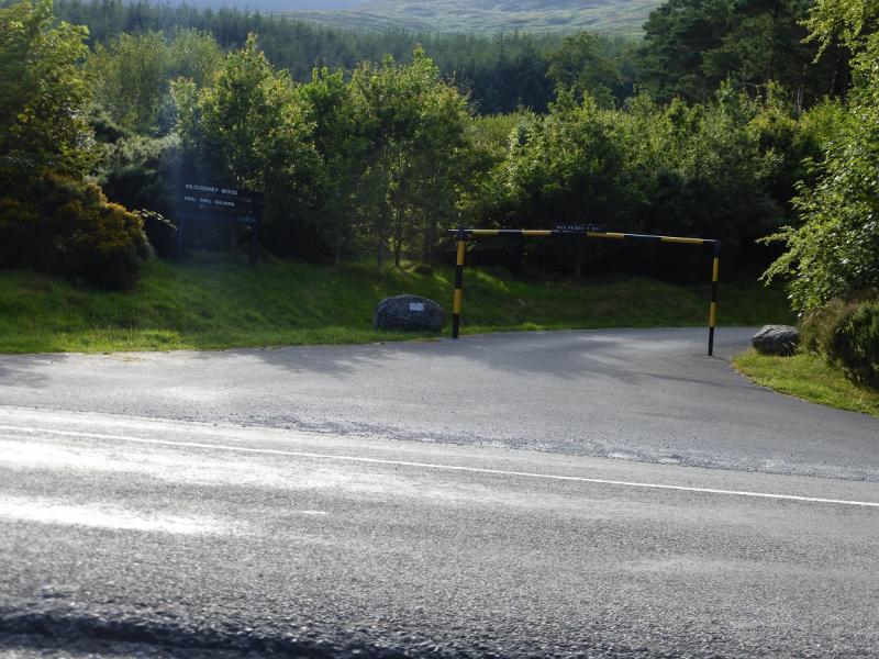
From Clonmel, drive east along the N24 signed for Waterford to reach Carrick-on-Suir. From here go south on the R676 which is the Dungarvan road. After about 9 miles/14 km, reach Kilclooney Wood car park which has a barrier across its entrance restricting entry to vehicles under 1.9 m. This car park can soon fill up on busy days. There are more direct routes from Clonmel but they are less easy to find and follow.
Distance/Time
10 km About 5 hours
Peaks
Fauscoum, 792 m, S 317 105. (Irish National Grid System)
Fauscoum N Top, 767 m, S 311 121.
Irish OS Discovery Series Map 75 (1:50000)
Note that Fauscoum is called Over Fauscoum in some publications.
Introduction
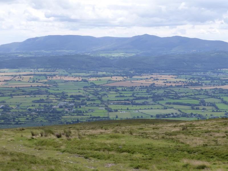
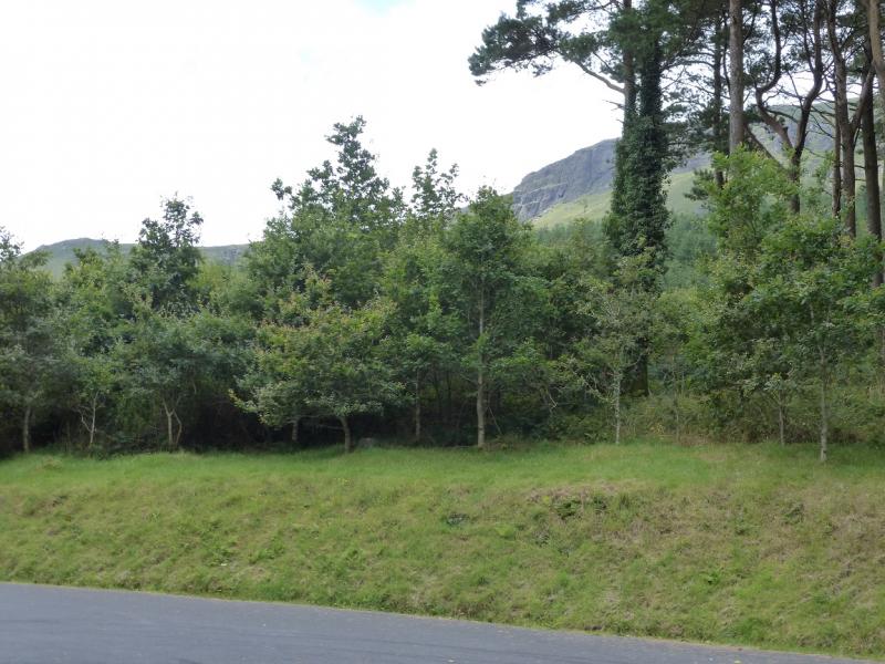
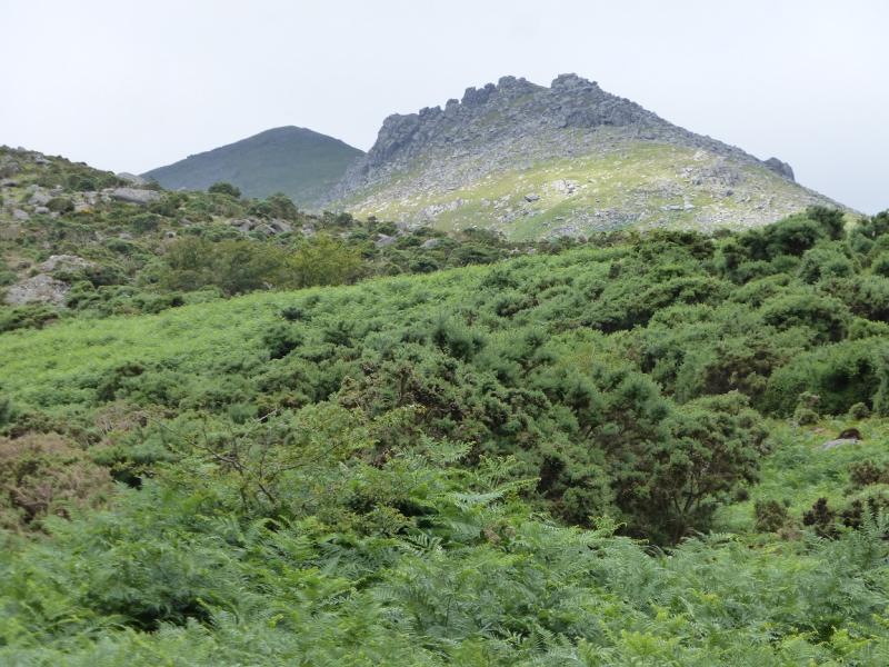
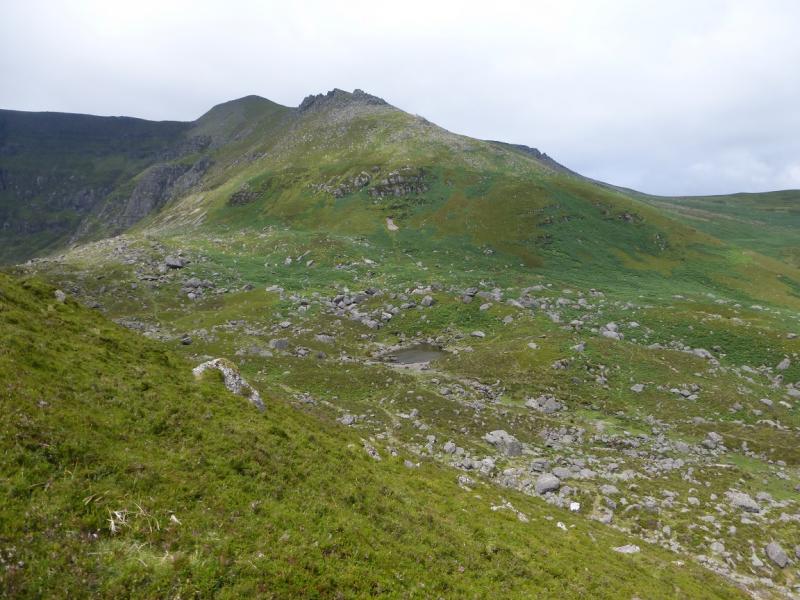
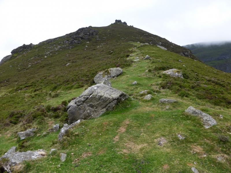
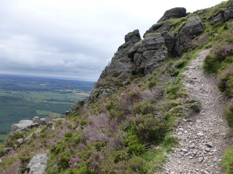
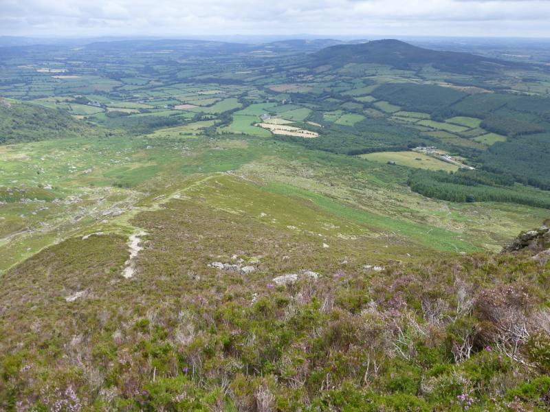
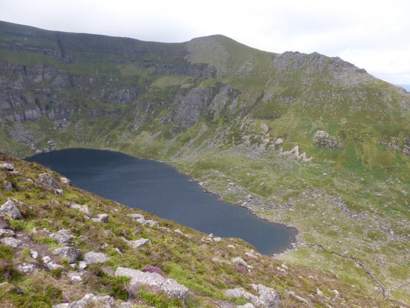
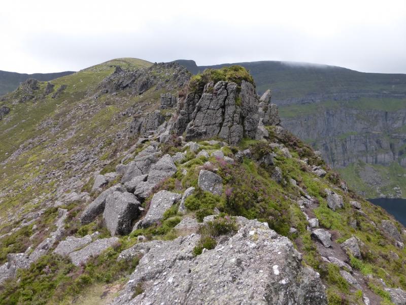
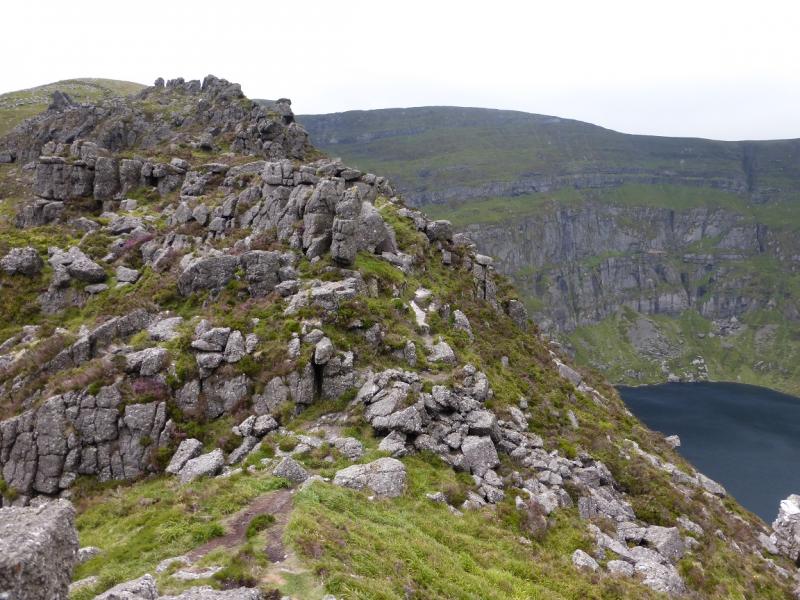
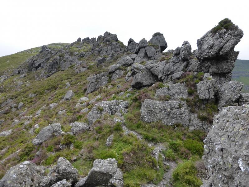
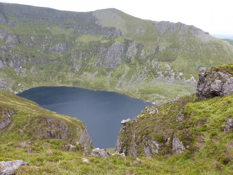
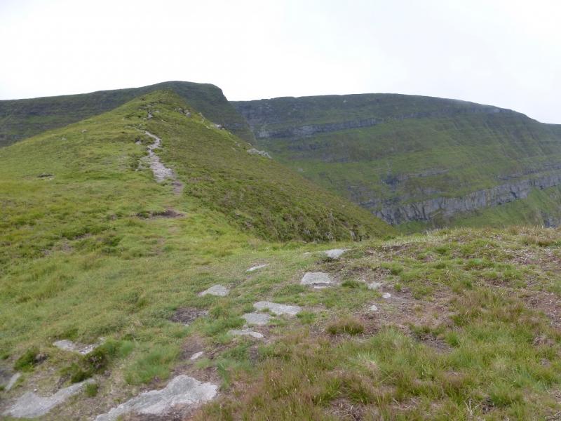
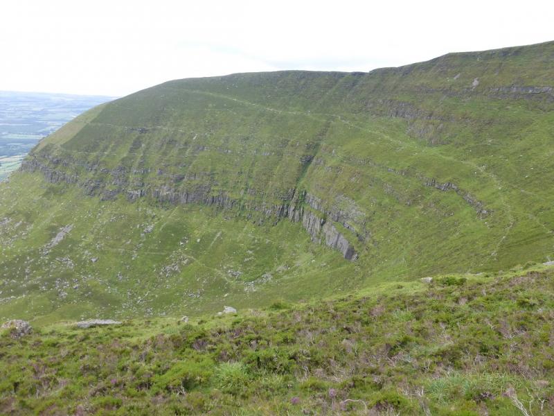
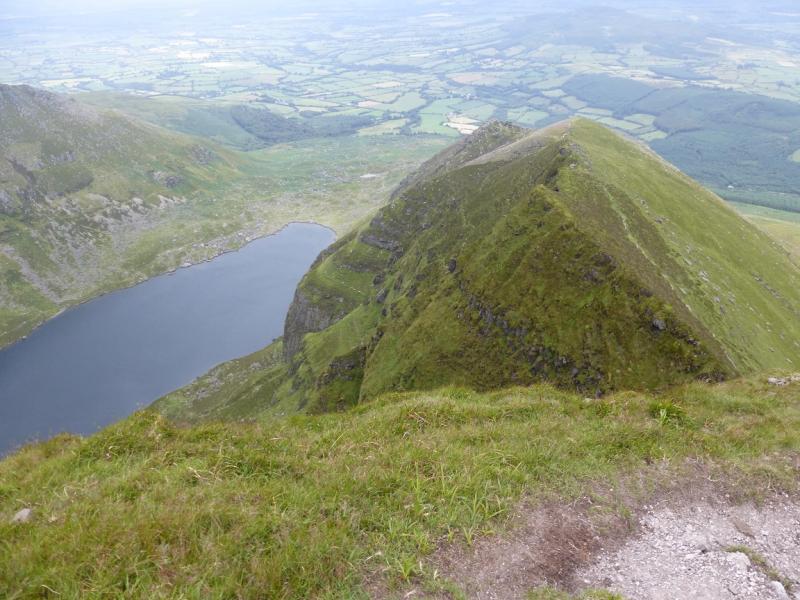
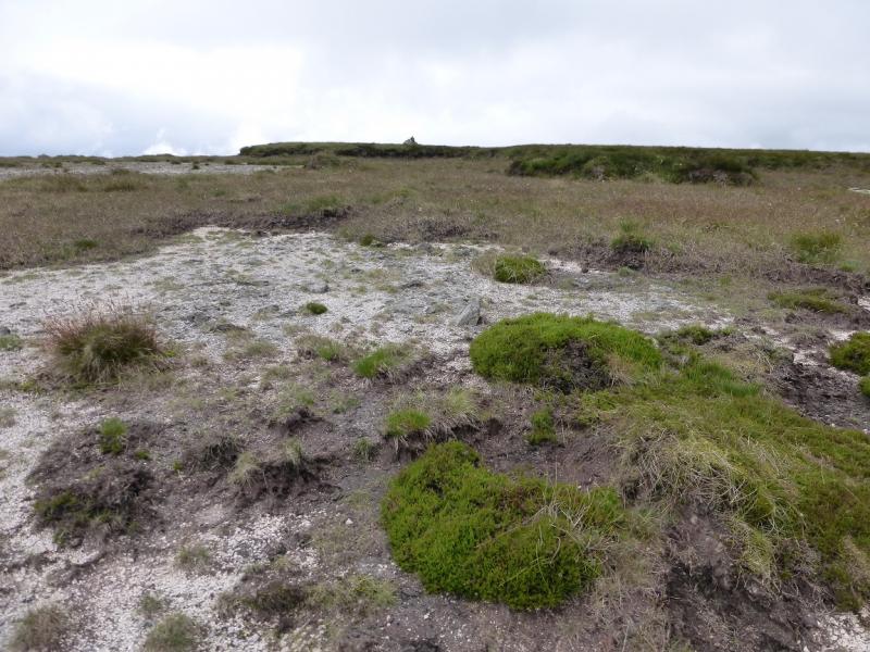
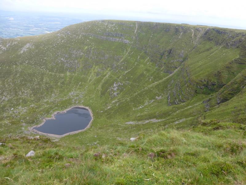
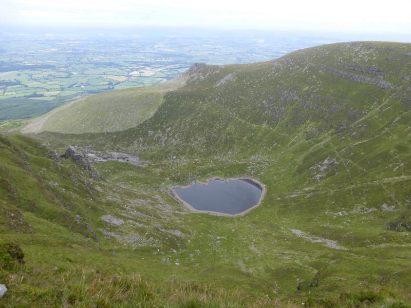
The Comeragh Mountains form quite a featureless ridge which can be quite boggy in places. By far their best features are their coums (corries). This route goes around Coumshingaun which is a very fine coum indeed with a magnificent headwall and two rocky ridges either side of Coomshingaun Lough. It is probably worth leaving the corrie rim to visit the summit of Fauscoum but the view from there is uninspring. The N Top is similar and, but for the views into Coum Iarthar would not be worth visiting. The ridges either side of Coumshingaun Lough are rocky but not difficult. There are towers and pinnacles which are all avoidable. The ascent goes up the ridge on the south side of the Lough. The most awkward section is above the pinnacle section just below the summit plateau where the ground is steep and rocky with some exposure but it is very easy and the rock is sound. The descent on the opposite ridge has an awkward short section through some large boulders but is otherwise straightforward. If the N Top is omitted, then about an hour will be saved.
Route
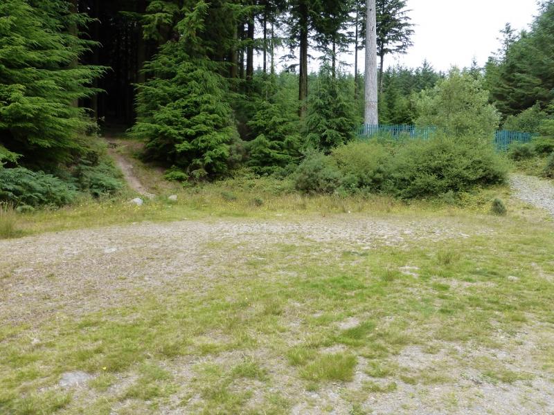
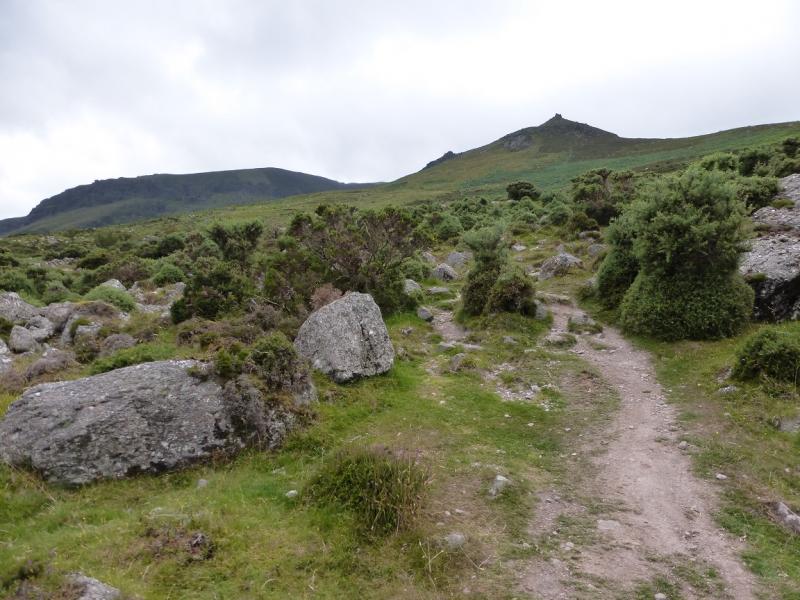
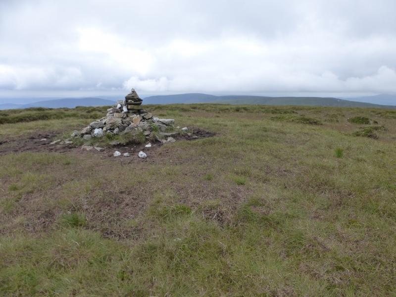
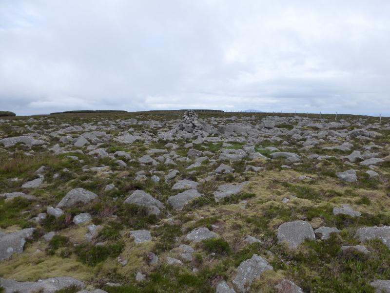
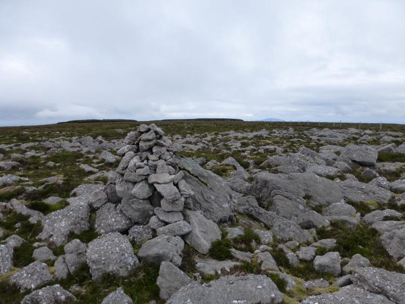
(1) Take the obvious path, heading W, out of the car park. It soon splits. Take the right fork which leads up to a forestry track. Turn right, N, and follow the track, soon reaching a turning circle where there is a fenced off building. A path goes uphill from here; ignore it and continue on the track which is now less wide and soon reaches the edge of the forest at a stile over an old fence. Cross the fence and follow the edge of the forest uphill on a path between the fence and an old wall which can be overgrown by ferns in the summer. Higher up, the path crosses the wall. From here, there are various paths. Aim for the ridge on the S side of Coumshingaun where an obvious outcrop will be seen higher up in clear weather. When outcrops are reached, the ridge becomes much more defined and can be followed upwards, either on its crest or following a good path just below. When the pinnacles run out, a grassy minor top is ascended. Beyond this is a small gap and a path climbing more steeply. Follow this path up steep ground. Hands will be needed in places but the rocky sections will be very easy and straightforward for the experienced walker. Take care as there is some exposure. When the angle eases, head roughly W across the peaty, often boggy, gentle slopes to reach the medium cairn which is the summit of Fauscoum, 792 m. Areas of gravel make the going easier in places.
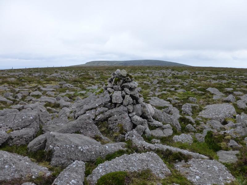
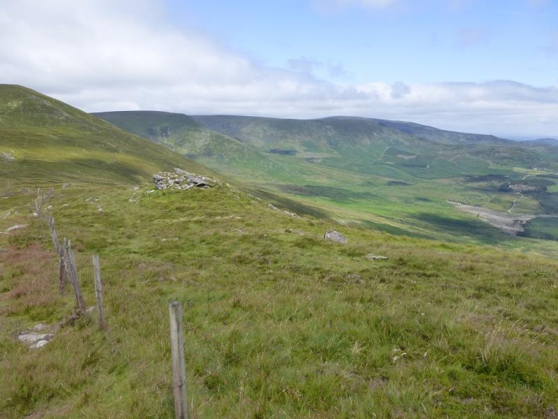
(2) If not going to the N Top, it is best to return to the edge path and follow it around the top of the coum then on to the ridge to the N of the lough. Otherwise, walk NNE, crossing ground which may be wet and boggy. Cross the wide and shallow gap and head up the other side. A fence starts on the right before the summit and may be a useful guide in reaching a similar sized cairn which marks Fauscoum N Top, 767 m.
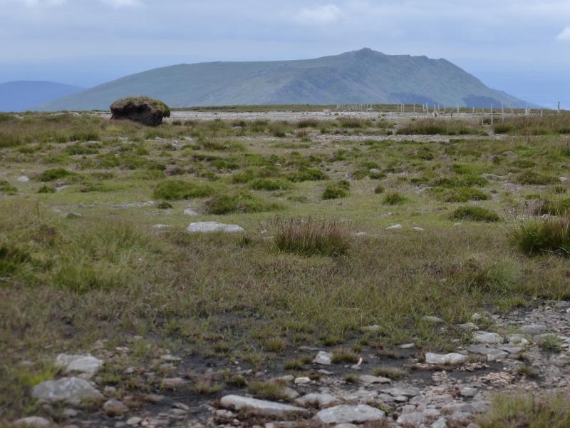
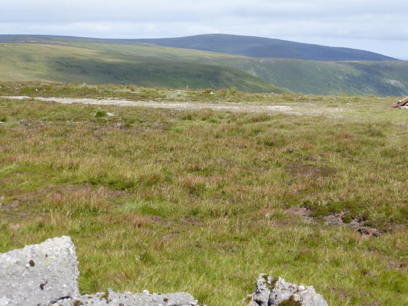
(3) Cross the fence before walking back. This will give access to the path on the rim of Coum Iarthar which is well worth looking down into. Walk roughly SE when the rim is left, crossing the Iske Sullars stream high up. Continue to reach the path on the rim of Coumshingaun and follow it down the ridge on the N side of Coumshingaun Lough. There is an awkward section through a steep boulder field so take it steadily and it will be very straightforward. There is a path down the ridge with many diversions available to visit the numerous interesting rock features. There are a choice of descent paths off the ridge. The easiest one goes a fair way down the ridge and well have been spotted during the ascent. Do not descend too soon as there are cliffs below the crest. As a guide, it is possible to descend once past the lowest buttress on the ridge opposite. Reach the coum below the lough. The best way from here is to take a path below the opposite ridge which makes a gentle rising traverse on to that ridge from where one can retrace the outward route.
Notes
(a) This walk took place on 28th July, 2014.
(b) There is a very good camp and caravan site, at “The Apple” which is 4 miles/6 km from Cahir and 6 miles/9 km from Clonmel on the N24 trunk road from Limerick to Waterford. It is a commercial apple growing farm. There are all the usual facilities at no extra cost including Wi-Fi. Prices are very reasonable.
Photos - Hover over photo for caption. Click on to enlarge. Click on again to reduce.