Get Lost Mountaineering
You are here: Ireland » South » Waterford, Kilkenny & Carlow
Seefin & Coumaraglin Mountain from South
Seefin & Coumaraglin Mountain from South
Start/Finish
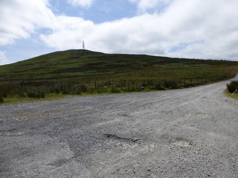
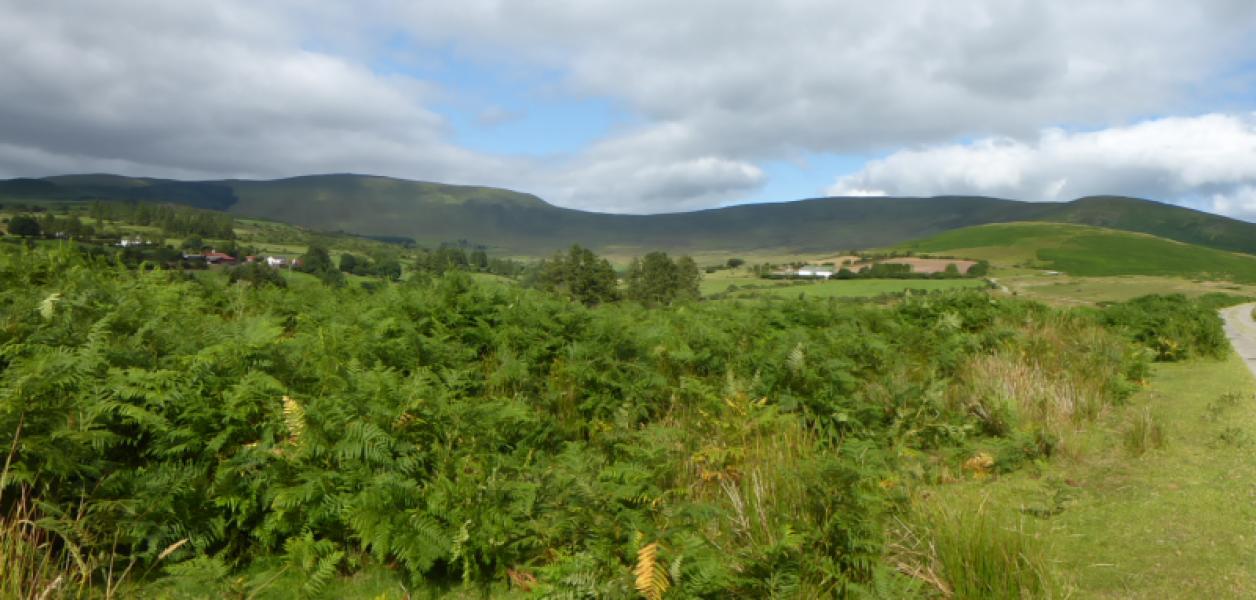
From Clonmel, drive east along the N24 signed for Waterford to reach Carrick-on-Suir. From here go south on the R676 which is the Dungarvan road. After about 14 miles/22 km, reach Lemybrien. Turn right here just before the R676 joins the N25. At the end of this minor road, go left at the T junction then about a mile further on go right and ascend up a pass crossing Dalligan Bridge and passing an offical car park/lay by. At the highest point, is a very wide entrance where one can park. On the left is a hill with a large aerial. Opposite the parking place, a rough stony track goes north.
Distance/Time
11 km. About 4 hours
Peaks
Coumaraglin Mountain, 617 m, S 282 042. (Irish National Grid System)
Seefin, 726 m, S 274 068. Irish OS Discovery Series Map 75 (1:50000)
Introduction
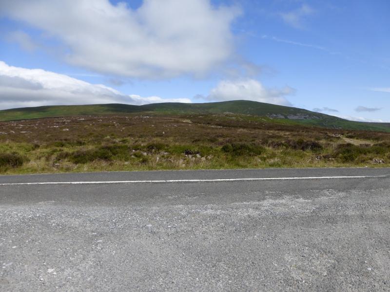
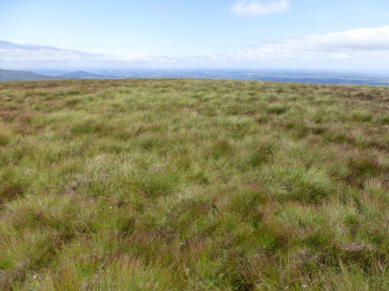
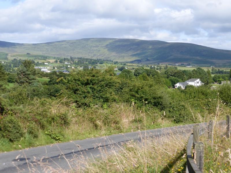
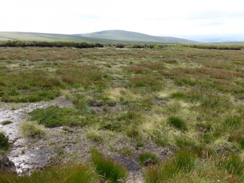
The Comeragh Mountains form quite a featureless ridge which can be quite boggy in places. By far their best features are their coums (corries). Unfortunately, this route does not pass through any of these fine corries although there is a glimse into the coum to the east of Coumaraglin Mountain on the way back. The ascent is relatively quick and easy but the price for this is that the outward route has to be retraced and Coumaraglin Mountain re-ascended. There are fine across the Irish plains and to the coast. Waterford can be seen on a very clear day. Fauscoum and Knockanaffrin are both seen from the ridge. The Knockmealdown range is also visible on a clear day. Navigation is very straightforward even in mist. The route can have boggy patches in wet weather.
Route
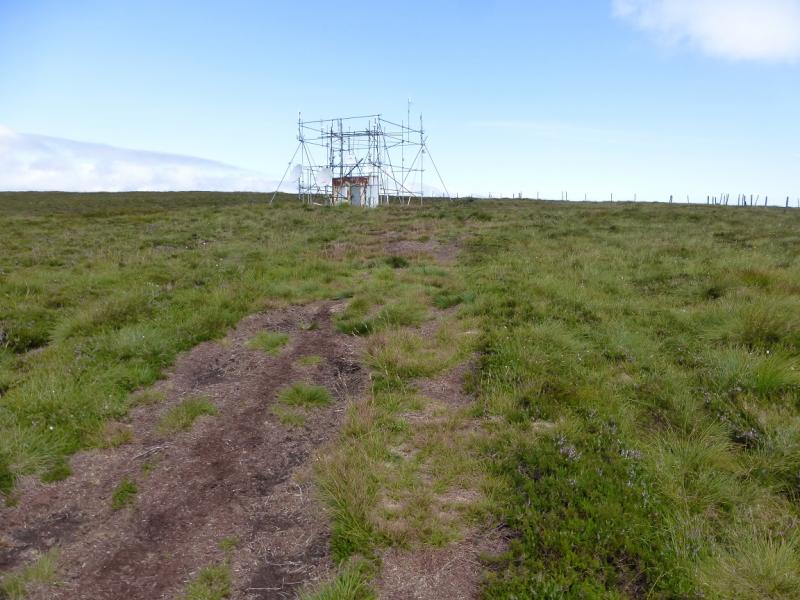
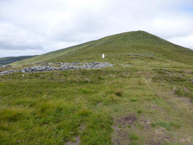
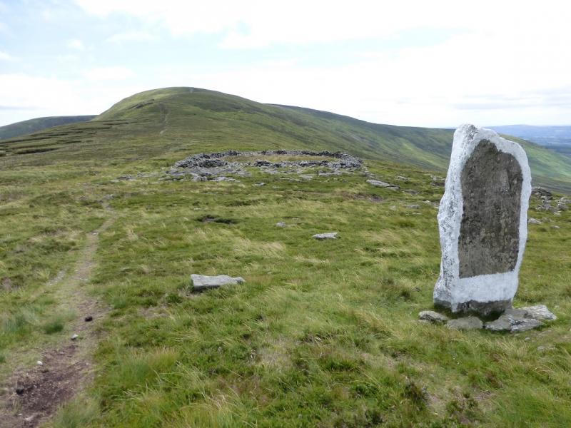
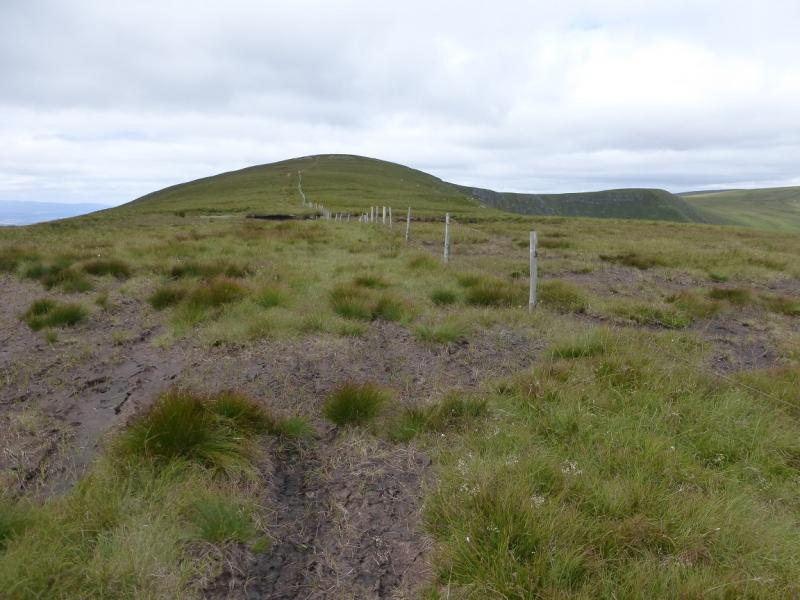
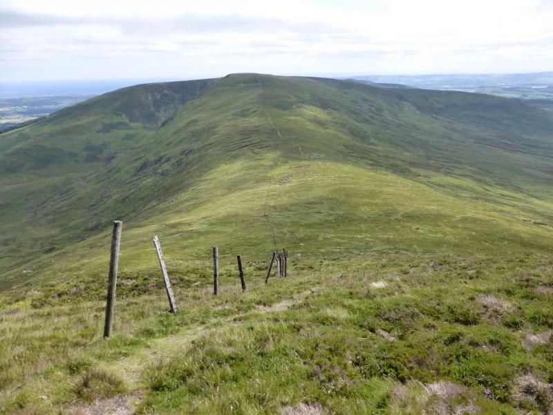
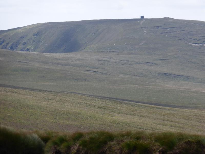
(1) Take the stony track on the opposite side of the road to where the car is parked and follow it up. Note that the hill, with an obvious cairn, seen ahead and to the right is Farbreaga which is not on the route but could be included if one wished by a short detour from Coumaraglin Mountain. The track is generally easy to follow and turns more grassy higher up. The track finishes at a “hut” with scaffolding holding satellite dishes around it. There is a fence not far to the right and this can be followed onwards and up Coumaraglin Mountain. The fence generally goes N. There is no cairn but the highest ground seems to be oabout 50 m on the E side of the fence which will contain the summit of Coumaraglin Mountain, 617 m.
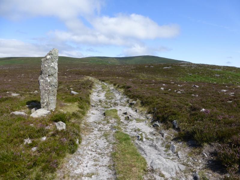
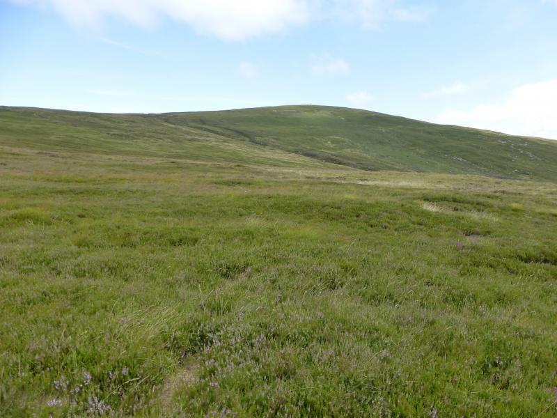
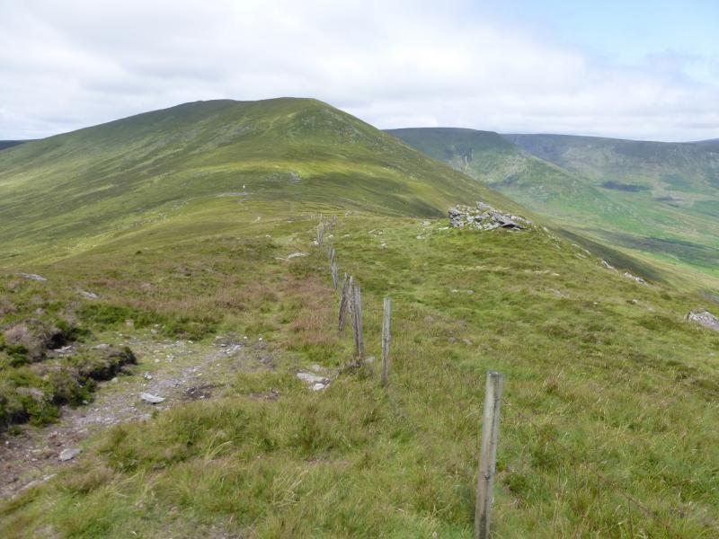
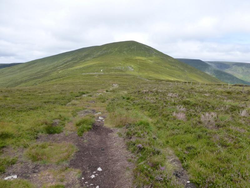
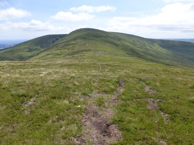
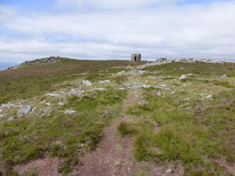
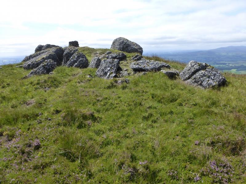
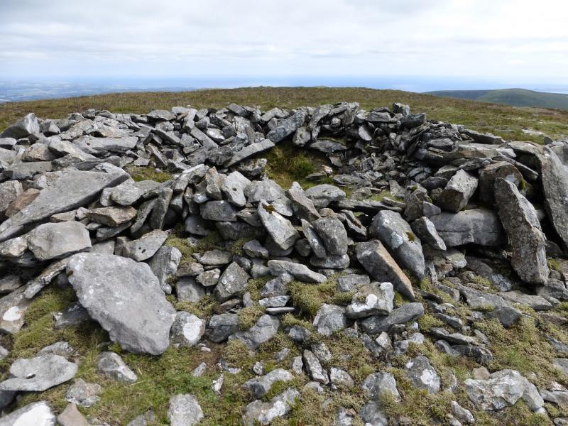
(2) Return to the fence where there is a path on its W side. Follow this down to a col where there is a circular stone walled enclosure. A little further is a standing stone which has been painted white. From here, the ground starts to rise so head right back to the fence where there is a path, steep in places, up the S ridge of Seefin. When the gradient eases, continue along the fence, crossing over when a good path appears on the other, E, side. The fence actually passes to the left of the summit, missing it by about 30 m, but before then a track appears which leads to a round shelter cairn with an old hut beyond. The highest ground is left, W, from the hut where a short path leads on to a low mound with some large rocks. Again, there is no cairn but this is the summit of Seefin, 726 m. The shelter cairn is clearly lower than this mound.
(3) Retrace the outward route.
Notes
(a) This walk took place on 29th July, 2014.
(b) There is a very good camp and caravan site, at “The Apple” which is 4 miles/6 km from Cahir and 6 miles/9 km from Clonmel on the N24 trunk road from Limerick to Waterford. It is a commercial apple growing farm. There are all the usual facilities at no extra cost including Wi-Fi. Prices are very reasonable.
Photos - Hover over photo for caption. Click on to enlarge. Click on again to reduce.