Get Lost Mountaineering
You are here: Scotland » 02 River Tay to Rannoch Moor » North of Glen Lyon to Pitlochry
Carn Gorm, Carn Mairg & Meall nan Aighean Range
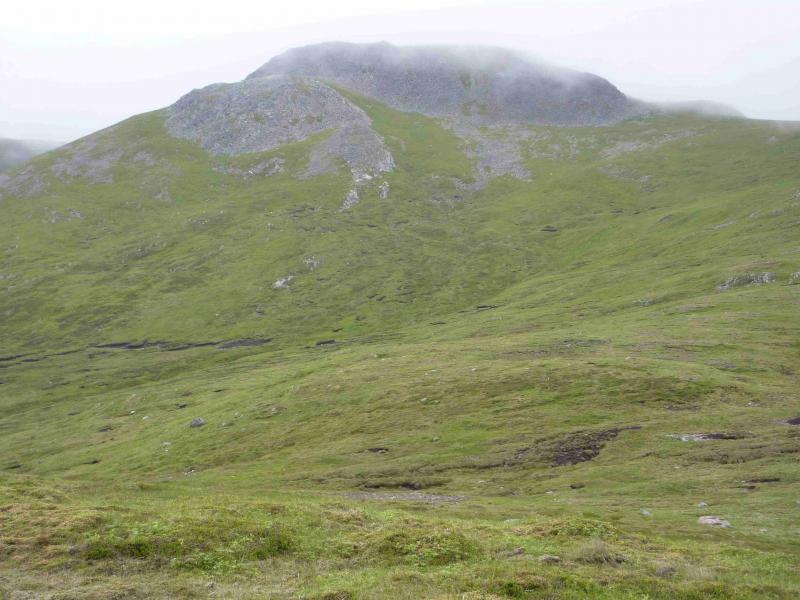
Carn Gorm & Carn Mairg Range from Invervar in Glen Lyon
Start/Finish
Invervar in Glen Lyon where there is parking for about 6 cars in a rough car park down a track towards the river from near the phone box. Invervar is about 6 miles east of the Bridge of Balgie reached by the high pass between Ben Lawers and Meall nan Tarmachan from Loch Tay. Alternatively, Invervar is about 5 miles west of Fortingall on the road from Fearnan, Loch Tay, to Coshieville. Those approaching from the Bridge of Balgie may wish to know that there are toilets at the back of the picnic area at Innerwick which have been kindly provided by the Meggernie Estate.
Distance/Time
17 km. About 8 hours.
Peaks
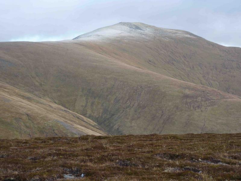
Carn Gorm, 1029 m, NN 635 500.
An Sgorr, 924 m, NN 640 509.
Meall Garbh, 968 m, NN 647 517.
Meall a' Bharr, 1004 m, NN 668 515.
Carn Mairg, 1041 m, NN 684 512.
Meall Liath, 1012 m, NN 693 512.
Meall nan Aighean, NN 694 496. OS Sheet 51.
Introduction
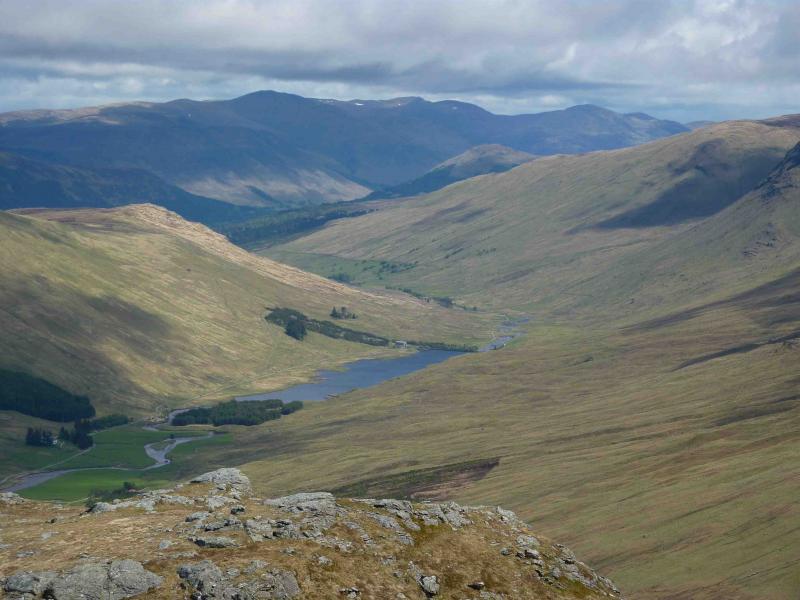
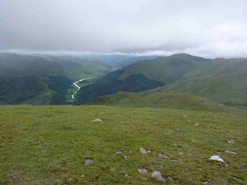
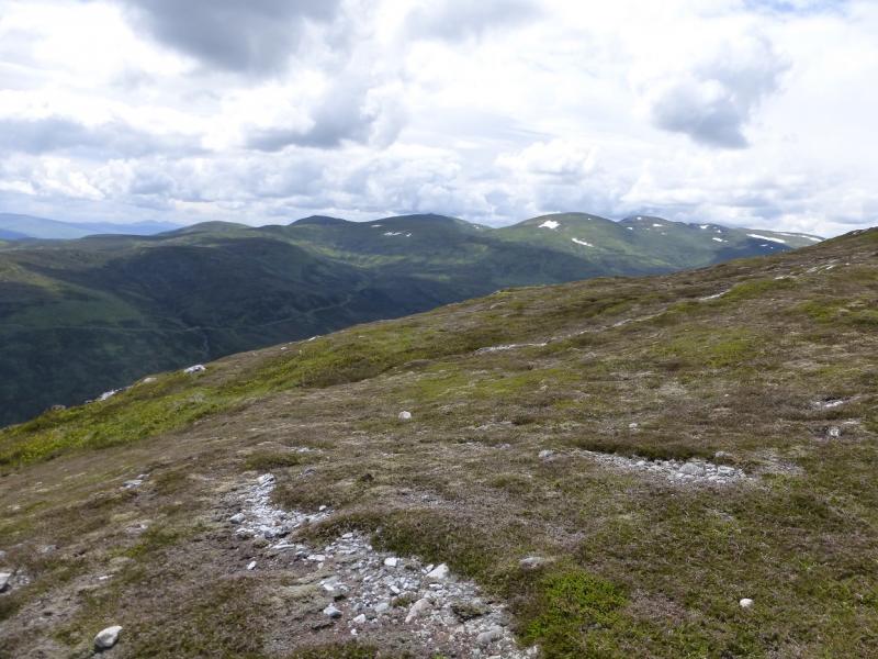
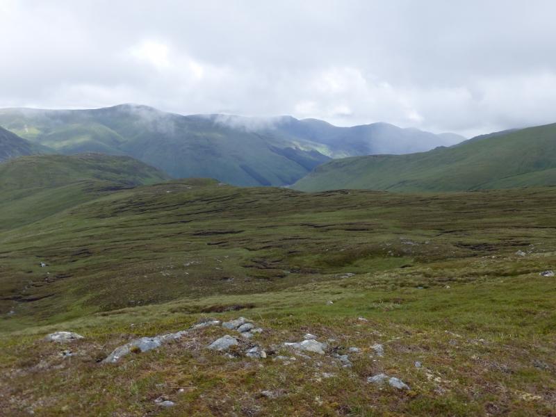
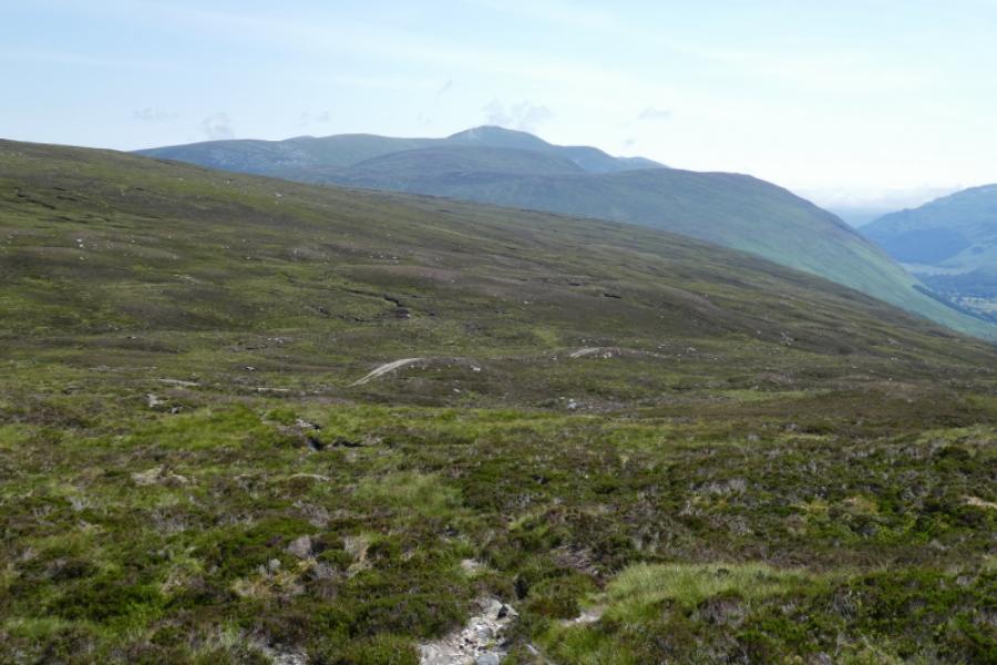
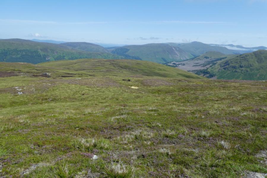
This is a pleasant circuit with good paths virtually all the way. Much of the effort is used to reach the top of Carn Gorm, after which there are no big ascents. Excellent views extend to the Ben Lawers range to the south, Loch Rannoch to the north but, on a clear day, the view is dominated by Schiehallion whose summit lies only 5 km from the top of Carn Mairg. Much stalking is carried out on this estate, especially between mid-August and mid-October, and the estate has notices in the car park requesting the co-operation of walkers at this time.
Route
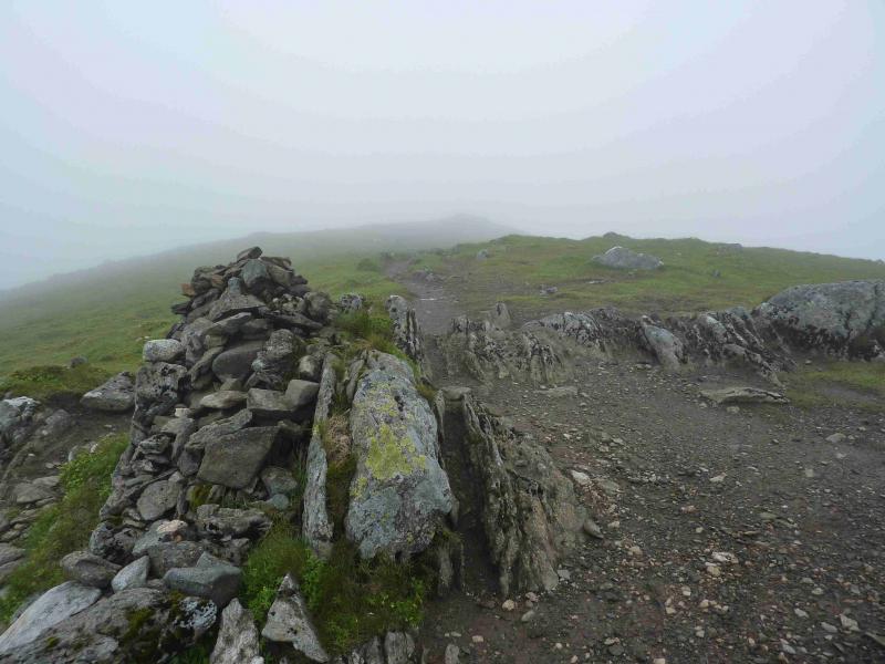
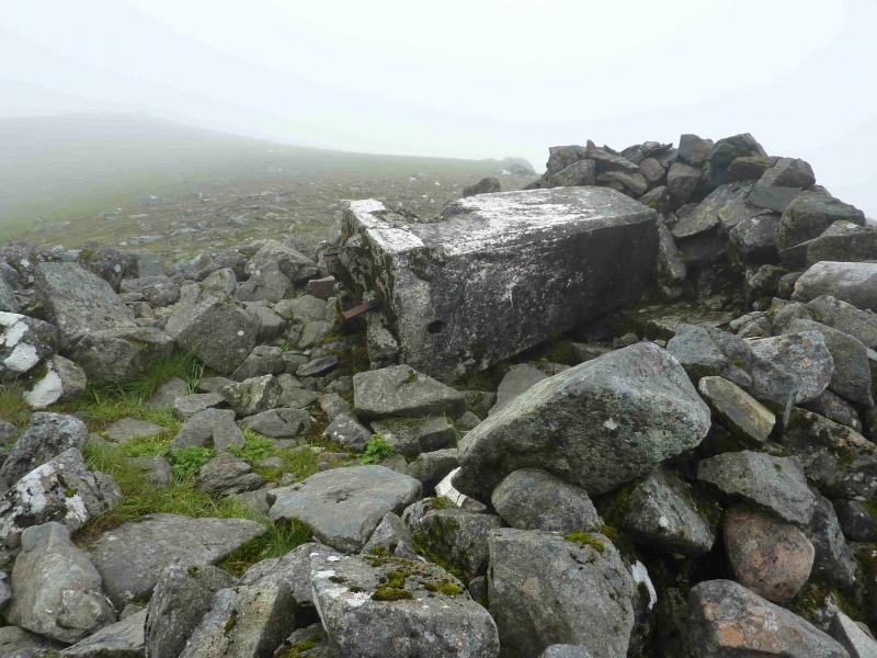
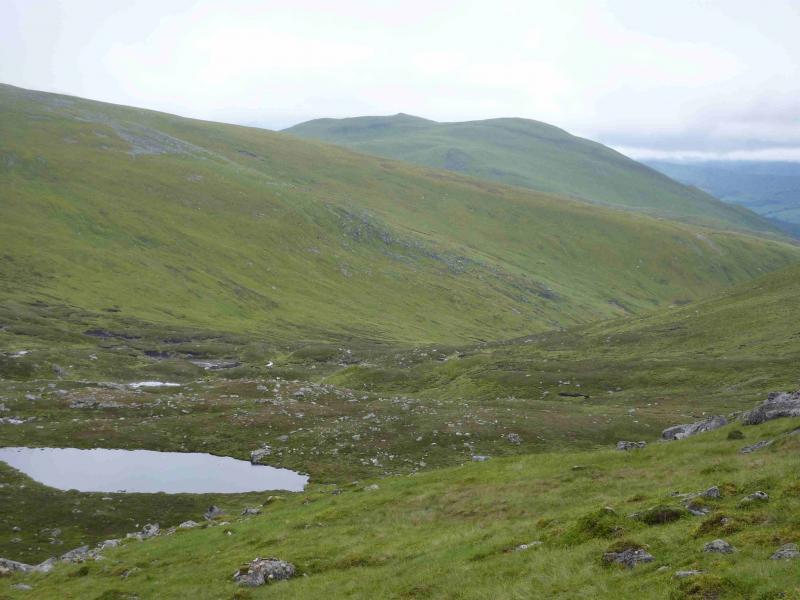
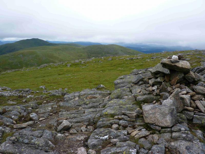
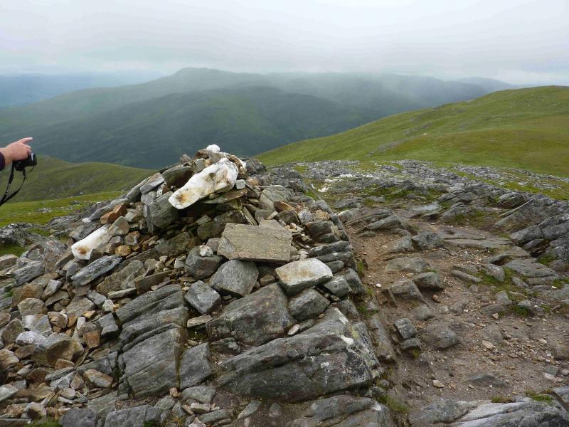
(1) From Invervar, walk up the track opposite the phone box and to the left of the stone building. There are also notices on this high gate. Continue up the track until the narrow bridge, over the Invervar Burn, almost at the end of the forest. Cross the bridge and take the higher path which initially follows the edge of the forest. At a corner, another path branches off right and starts to ascend the W ridge of Carn Gorm. This path leads all the way to the summit, gradually swinging to the NW as it climbs. Alternatively, after crossing the bridge, take the path along side the burn for about a km then climb W on pathless but easy ground to reach the path on the ridge. When the summit plateau is reached, there is a medium cairn which marks the summit of Carn Gorm, 1029 m. About 100 m further is a broken down shelter cairn with the old trig point lying on its side.
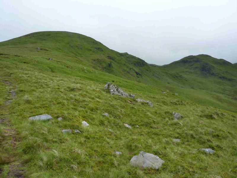
(2) Descend N, following a path down and over a very minor bump before reaching a bealach where the path splits. Take the right fork and climb easily to the medium cairn which marks the summit of An Sgorr, 924 m. The left fork omits this peak and goes directly to Meall Garbh.
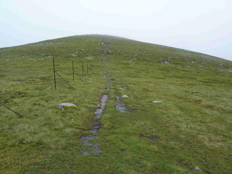
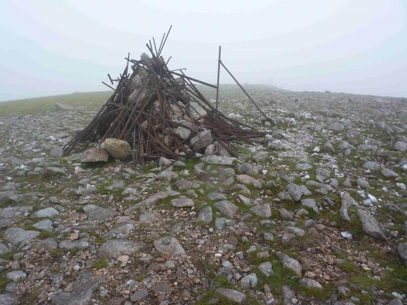
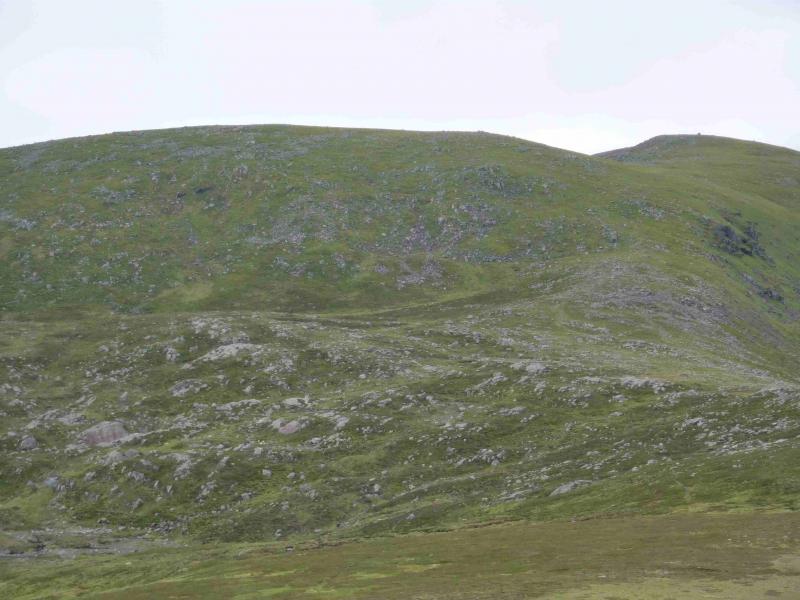
(3) Descend N from An Sgorr to rejoin the main path then climb easily, NE, with some fence posts coming in from the left (N) higher up, to the large cairn, full of old fence posts (resembles a bonfire) which marks the summit of Meall Garbh, 968 m.
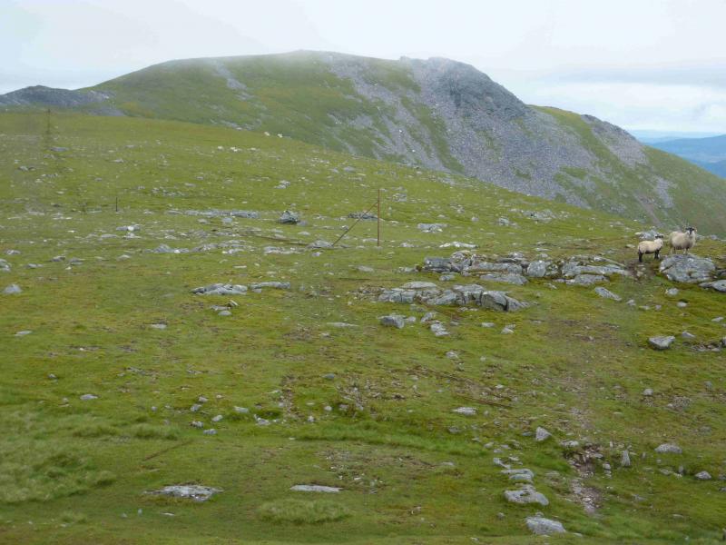
(4) Continue to follow the fence posts which soon turn abruptly left at a small cairn. Descend into a broad grassy bealach with a lochan on the right, S. Continue following the fence posts up easy slopes to reach a medium cairn which marks the summit of Meall a' Bharr, 1004 m. There is another cairn a little further on.
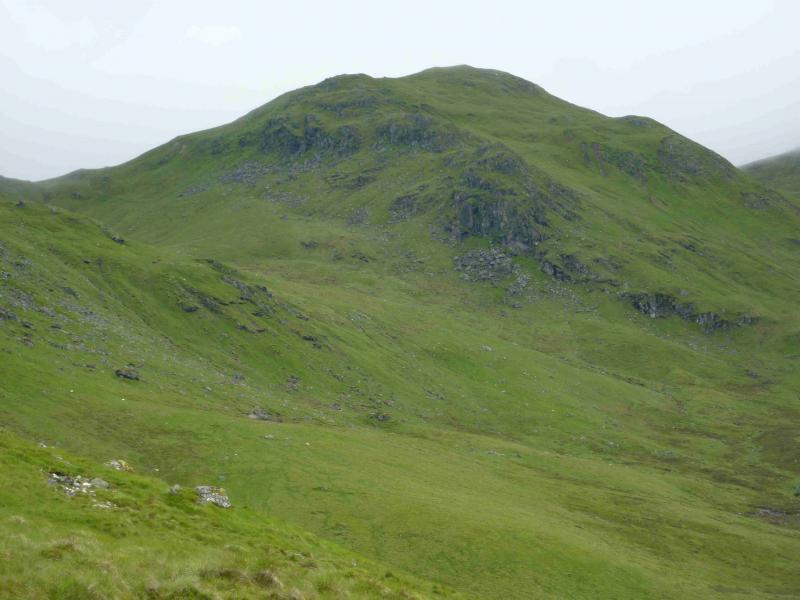
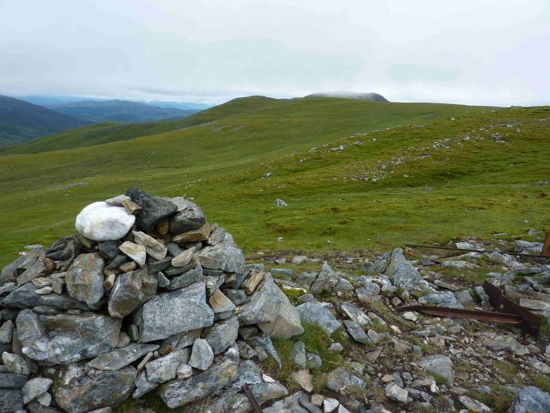
(5) Continue following the fence posts E and down into a shallow bealach. The path now swings around to the SE. The crest to Carn Mairg contains a few boulder fields so the path skirts below them on the SW side. Regain the crest as soon as possible and soon reach a medium cairn which marks the summit of Carn Mairg, 1041 m. Just to the S of the summit are two rocky tors which could be mistaken for the summit in thick mist as the path leads more to them than it does to the summit. However, neither tor has a cairn.
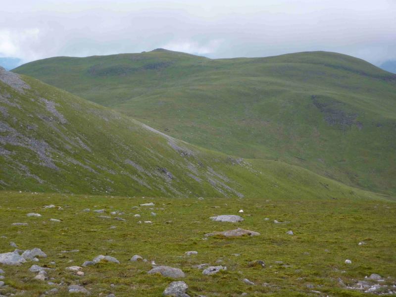
(6) Descend E from the summit down short but rocky and bouldery slopes. If a wall is encountered, cross it to the right where there is a faint path and go E to a broad and shallow bealach then walk up easy grassy slopes to the medium cairn which marks the summit of Meall Liath, 1012 m.
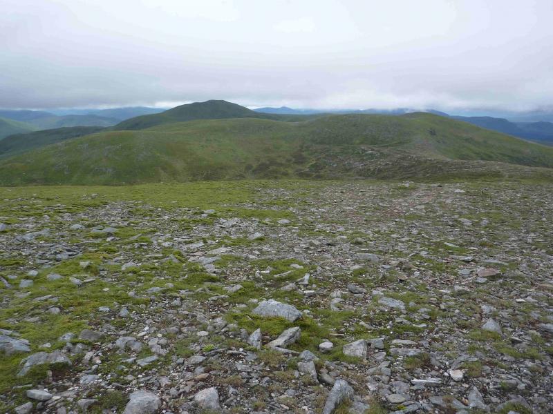
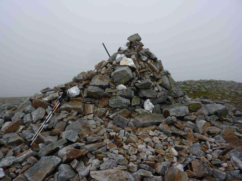
(7) Descend SW down easy grassy slopes to intersect with the main path coming directly from Carn Mairg. Follow this path down and across a broad and boggy bealach then ascend easy grassy slopes to reach the crest between Meall nan Aighean and its W top. Turn left, E, to soon reach the rocky top where a medium cairn marks the summit of Meall nan Aighean, 981 m.
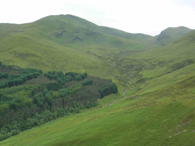
(8) From the summit, walk W then SW, on an obvious path to reach the W top then descend N then W to reach the well defined W ridge, above the Allt Coire a' Chearcaill, with a good path all the way down to the main track by the Invervar burn. However, the path seems quite faint from the W top to the W ridge. Once on the main track, turn left and descend back to Invervar.
Notes
(a) This walk took place on 23rd October, 1994, 2nd May, 2005 and 8th July, 2012.
Photos - Hover over photo for caption. Click on to enlarge. Click on again to reduce.