Get Lost Mountaineering
You are here: Ireland » South » Waterford, Kilkenny & Carlow
Coumfea, Coumlocha, Knockanaffrin & Knocksheegowna
Coumfea, Coumlocha, Knockanaffrin & Knocksheegowna
from Nire Valley
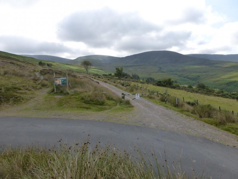
Start/Finish
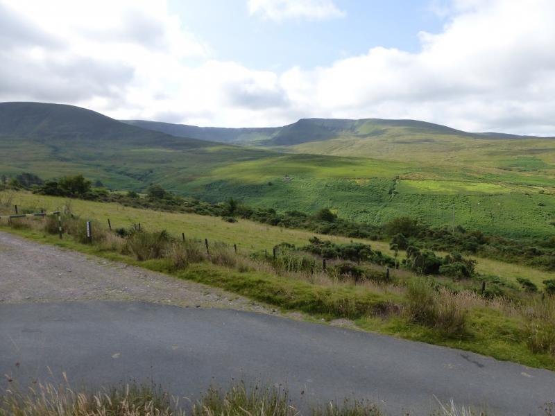
From Clonmel, take the R672 south towards Dungarvan. At the far end of Ballymacarbry, turn left signed for the Nire Valley. About 3 miles/5 km up this road, fork right at the new bridge over the river which is signed for the Nire Valley. Follow this road to its end where there is a new car park sufficient for about 12 cars.
Distance/Time
18 km. About 7 - 8 hours
Peaks
Coumfea, 711 m, S 281 095. (Irish National Grid System)
Coumlocha, 744 m, S 295 097.
Curraghduff, 730 m, S 297 107.
Knockanaffrin, 755 m, S 285 153.
Knocksheegowna, 678 m, S 277 165. Irish OS Discovery Series Map 75 (1:50000)
Introduction
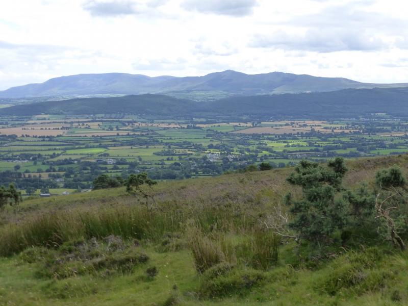
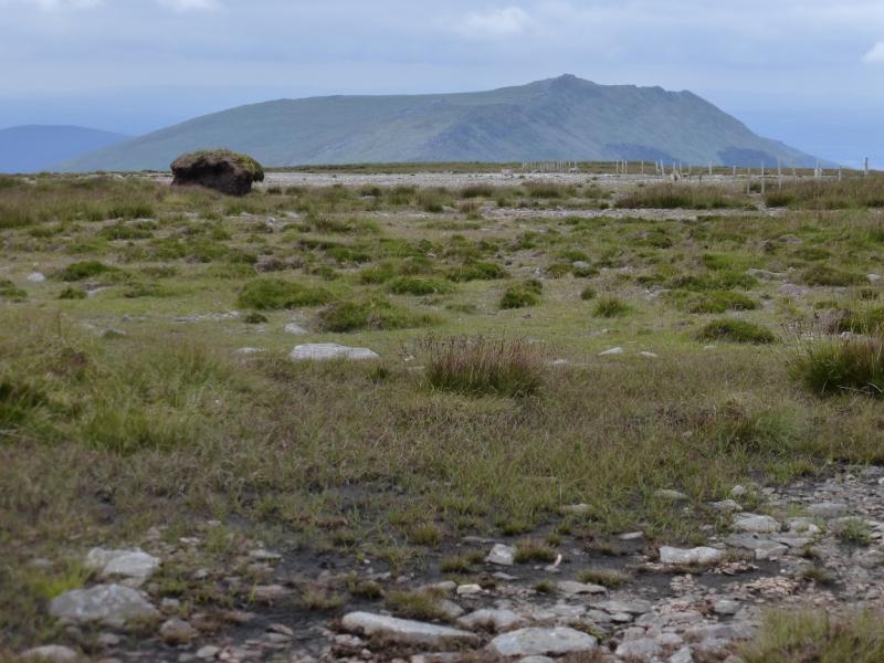
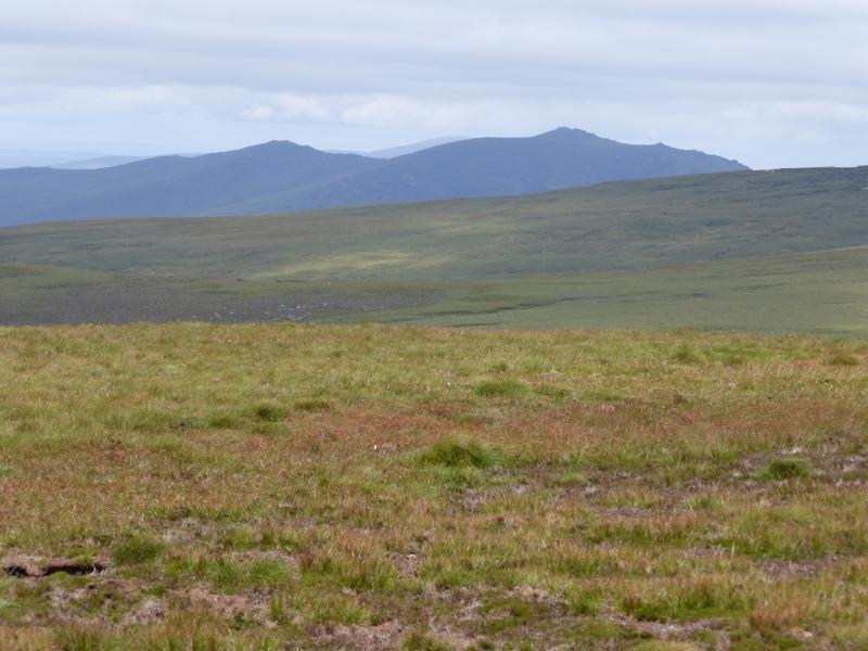
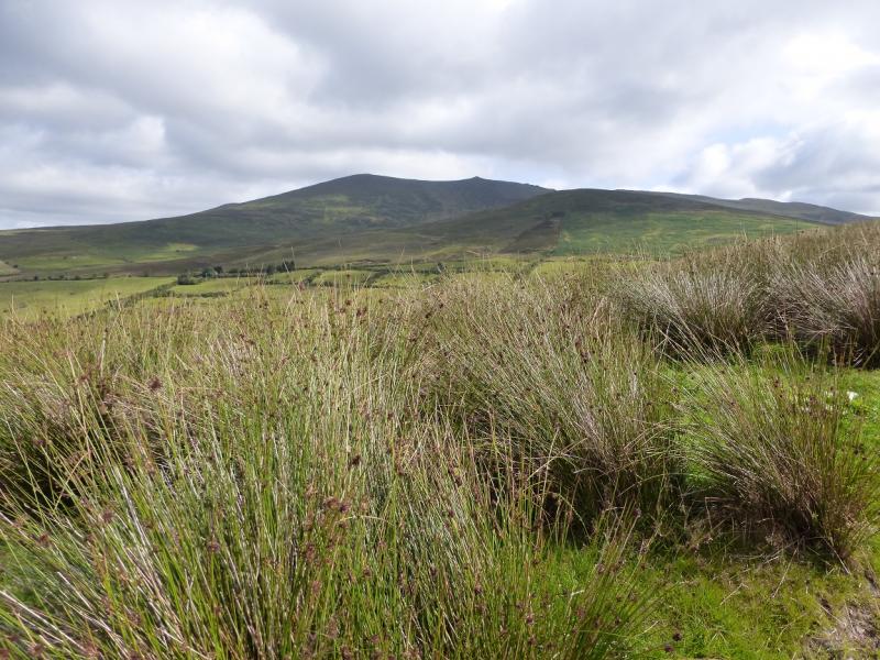
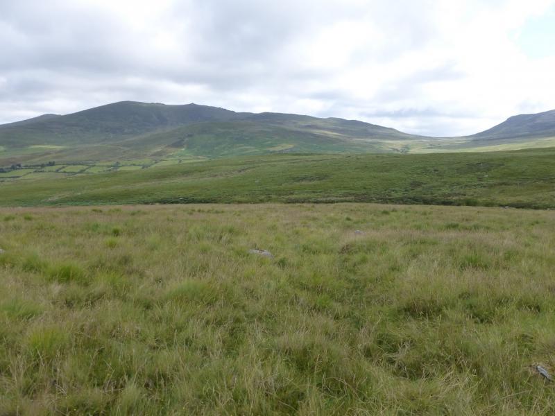
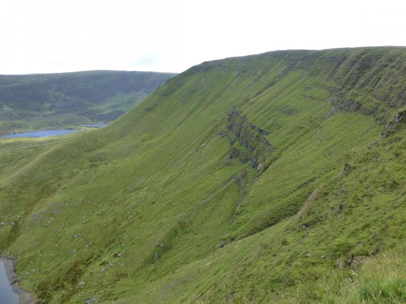
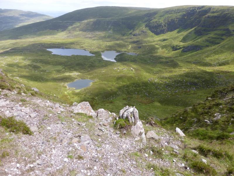
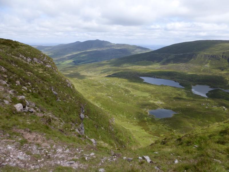
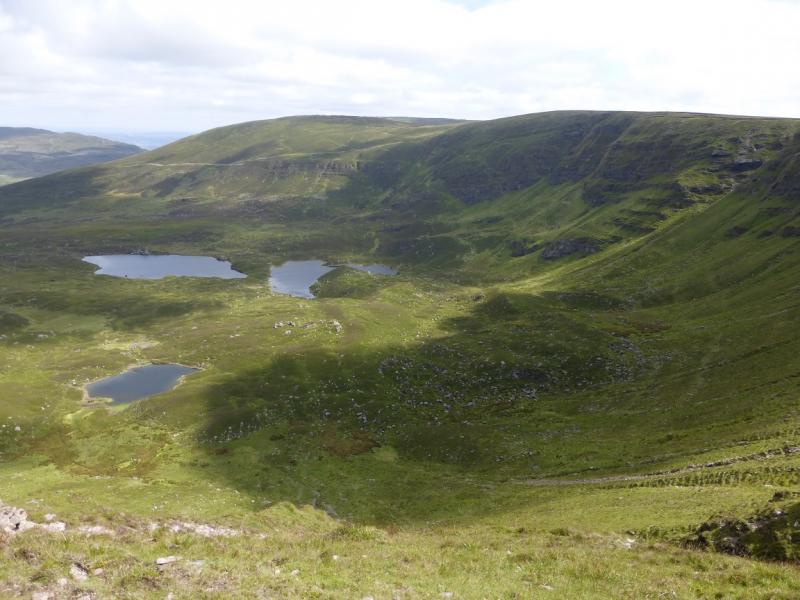
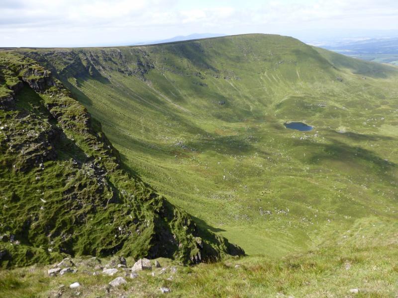
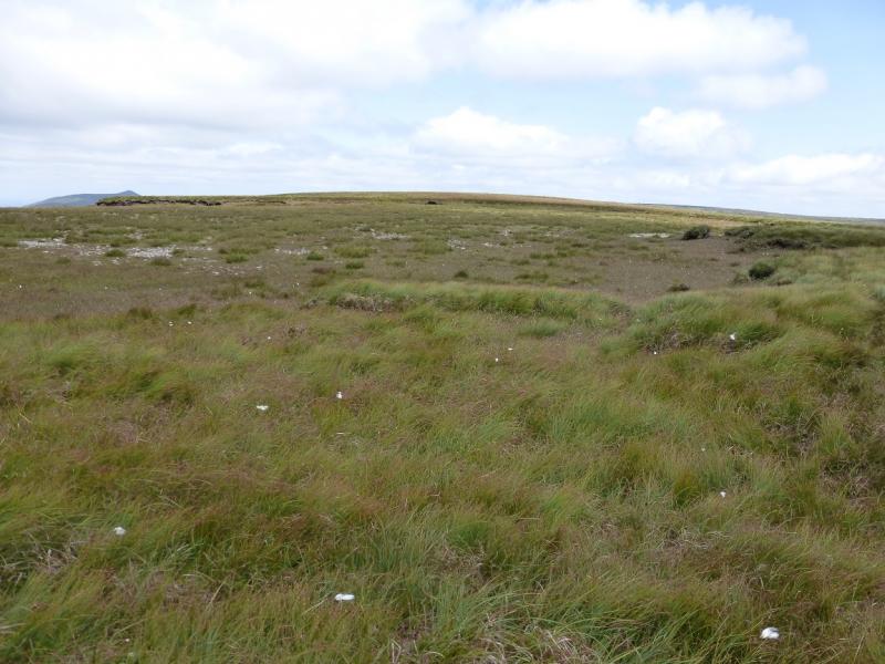
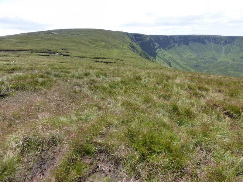
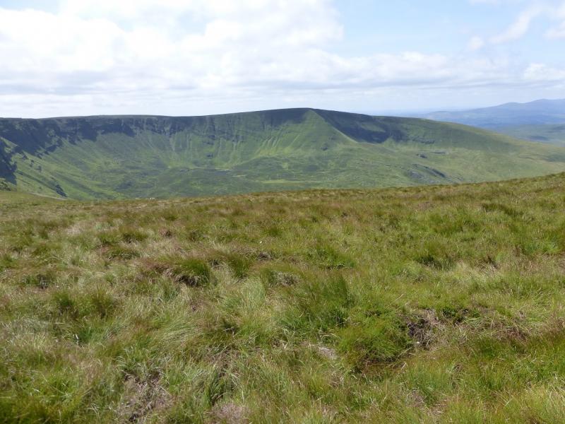
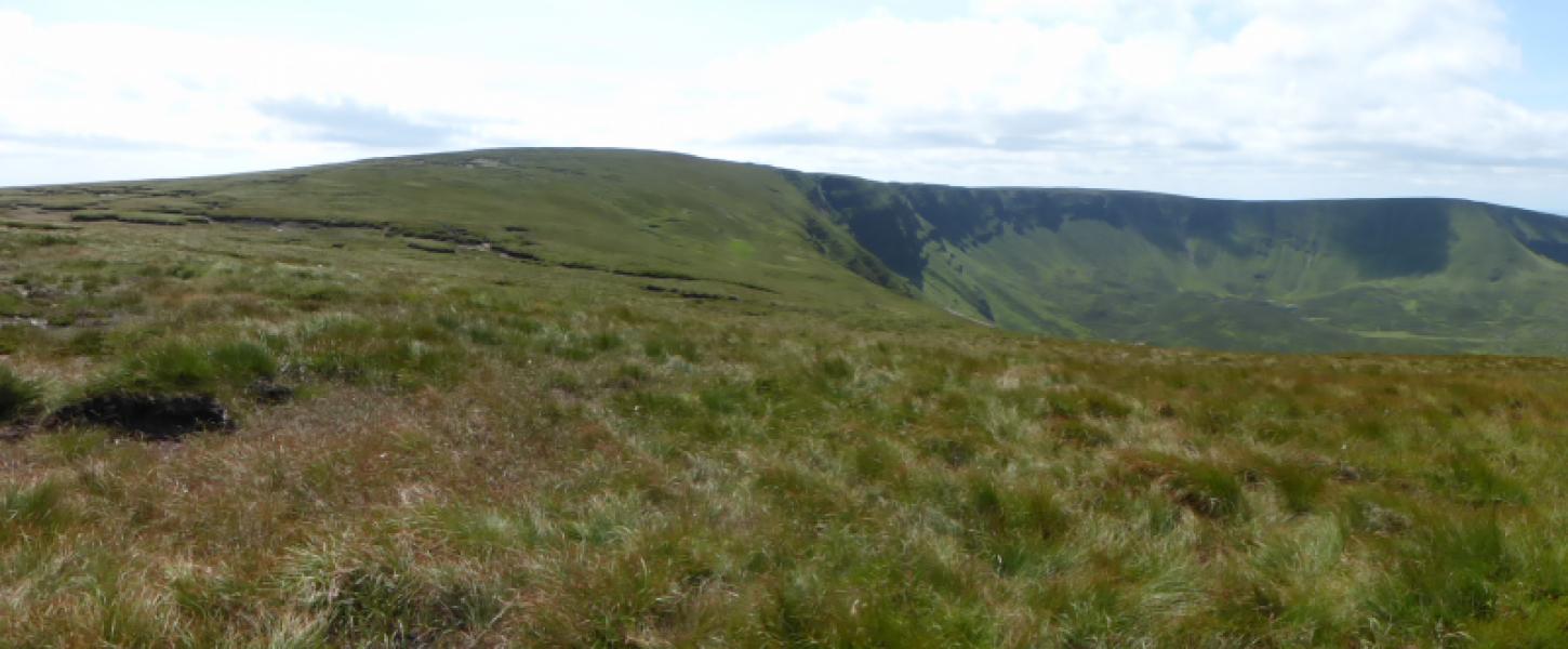
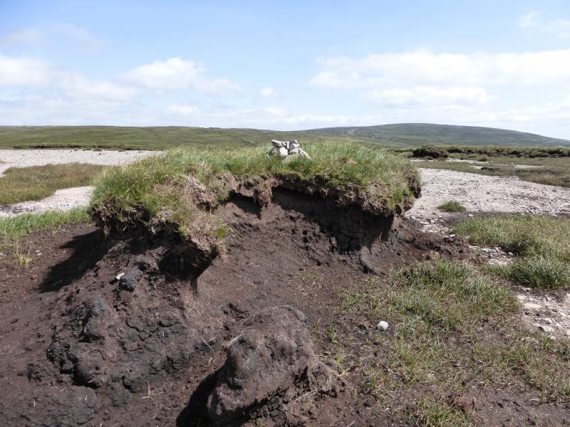
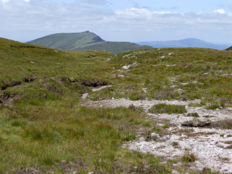
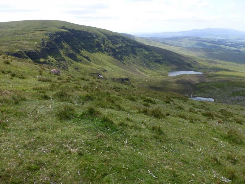
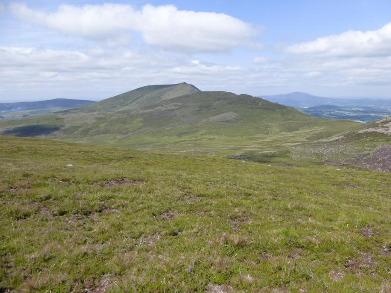
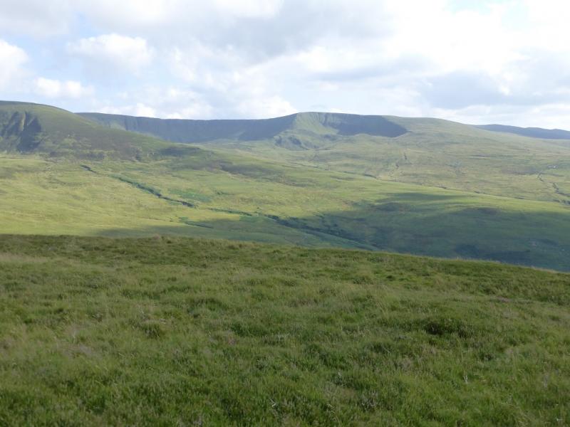
The Comeragh Mountains form quite a featureless ridge which can be quite boggy in places. By far their best features are their coums (corries). This route looks down on two of the corries on the W side of the range. Navigation can be tricky in mist on the featureless ground. Views are excellent to other parts of the range and to Slievenamon. The Knockmealdown range is also visible on a clear day.
Route
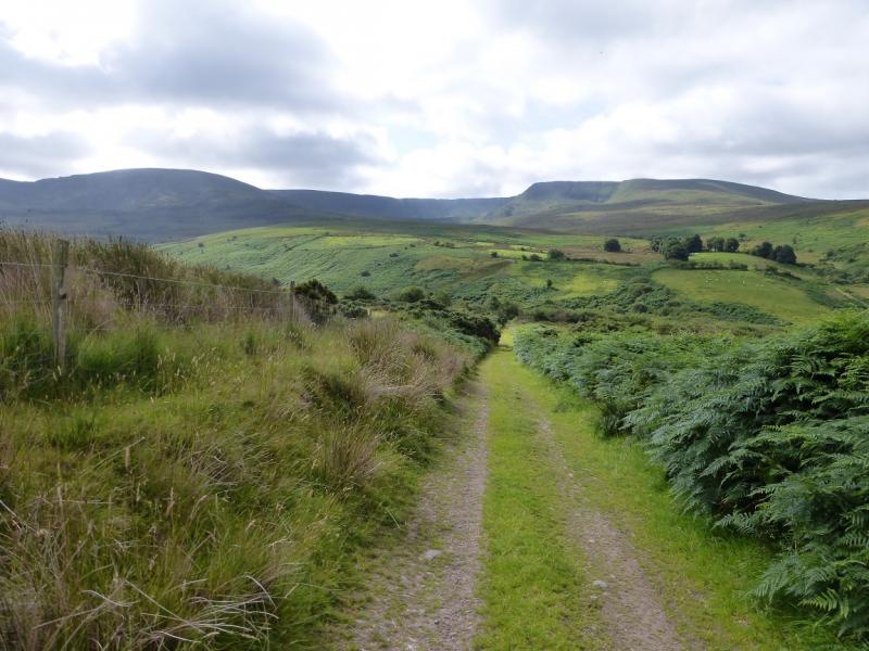
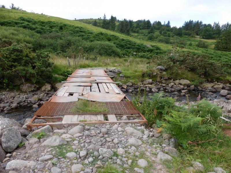
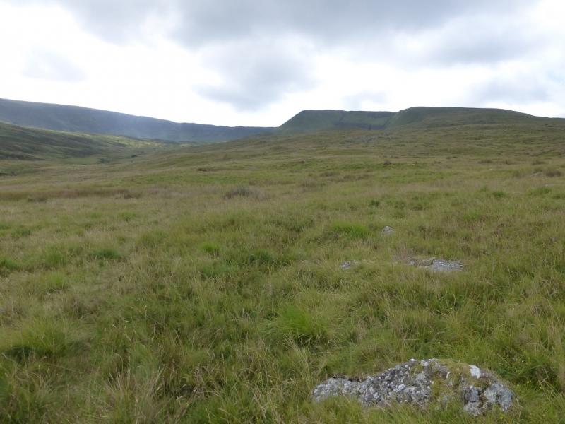
(1) Walk back along the road for about 400 m to a gate on the left with a track going down towards the river. There is another rrack almost opposite. Follow the track to a slightly suspect bridge across the river and follow the track on the other side which goes past an old ruin. Continue to a gate after which the track splits. Go right then left and drift towards the river looking for a crossing point. In normal conditions, this could be where some boulders appear on the opposite bank, otherwise cross higher up. Once across, head roughly S to pick up the corrie rim of Coumfea. Finding a path may be difficult until the rim is reached. Follow the corrie rim to a featureless plateau where a tiny cairn seems to mark the highest point of Coumfea, 711 m.
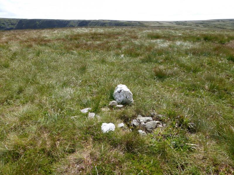
(2) Continue around the rim, on a good path, and ascend gentle slopes to the N. The summit plateau is very featureless and on 30/7/2014, there was no sign of any cairn to mark the summit of Coumlocha, 744 m. In clear weather, it will be easy to locate the highest ground but not the highest point on it.
(3) Descend gentle slopes N then ascend to a featureless area of peat hags. On 30/7/14, one of these had a small cairn on it which might mark the summit of Curraghduff, 730 m.
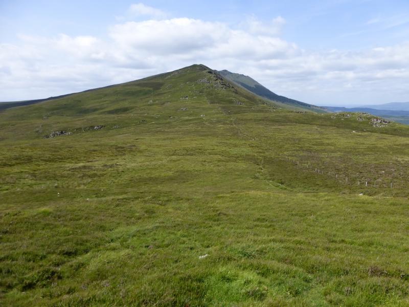
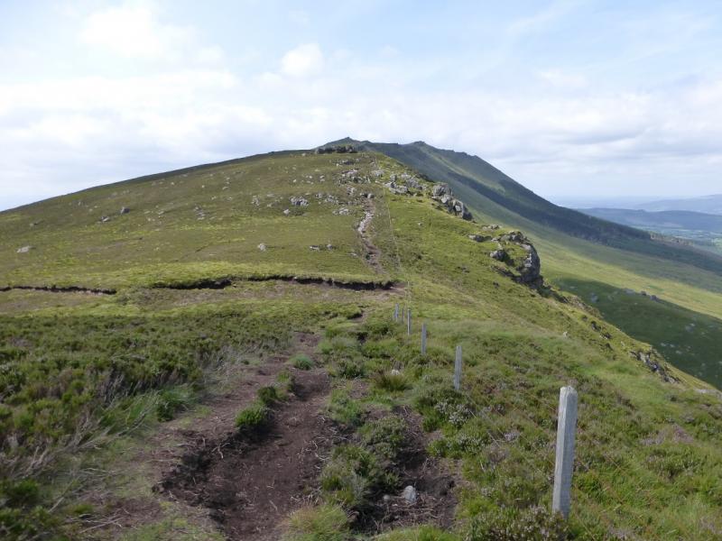
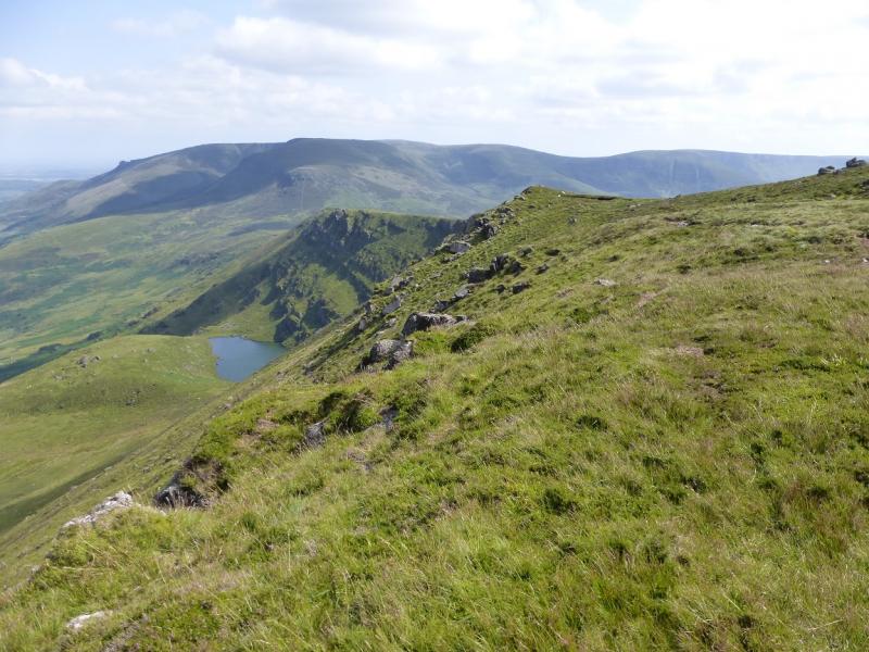
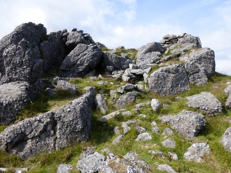
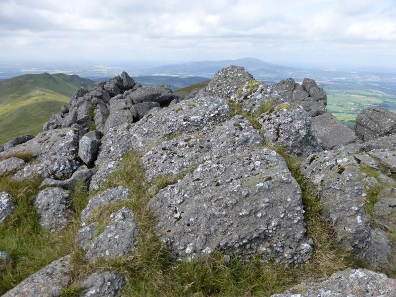
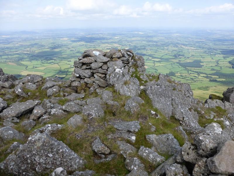
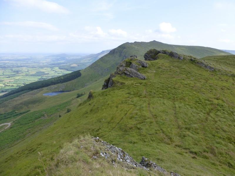
(4) Descend N towards the corrie rim above the Sgilloge Loughs then go NE along the rim to reach the ridge going NW from Top 751. Continue down to reach the way marked (not very obvious) path which goes NE then N to The Gap which is a wide col with a wire fence across it. Follow the path by the wire fence NW up the obvious ridge. At a minor top above Coumduala Lough – way below on the right – is a stile. Cross over. This point will be returned to later. Continue up the crest still on a peaty path. Higher up, a fence is crossed by a stile. Continue, trying to stay on the crest and soon after, the summit rocks are reached. These resemble a pile of huge boulders. There is a squarish cairn perched on a rock but the highest point appears to a few metres to the W on an outcrop. This is the summit of Knockanaffrin, 755 m.
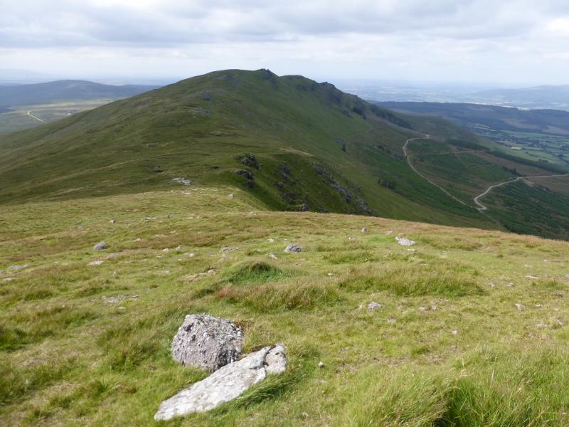
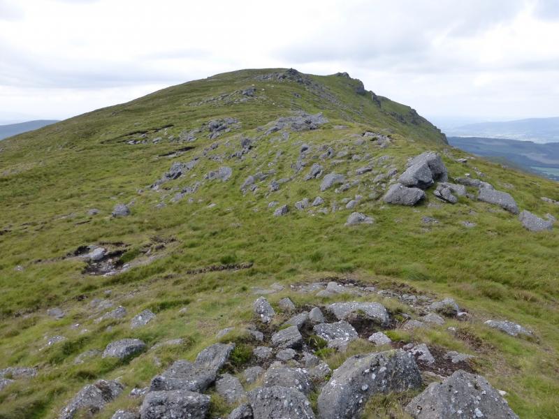
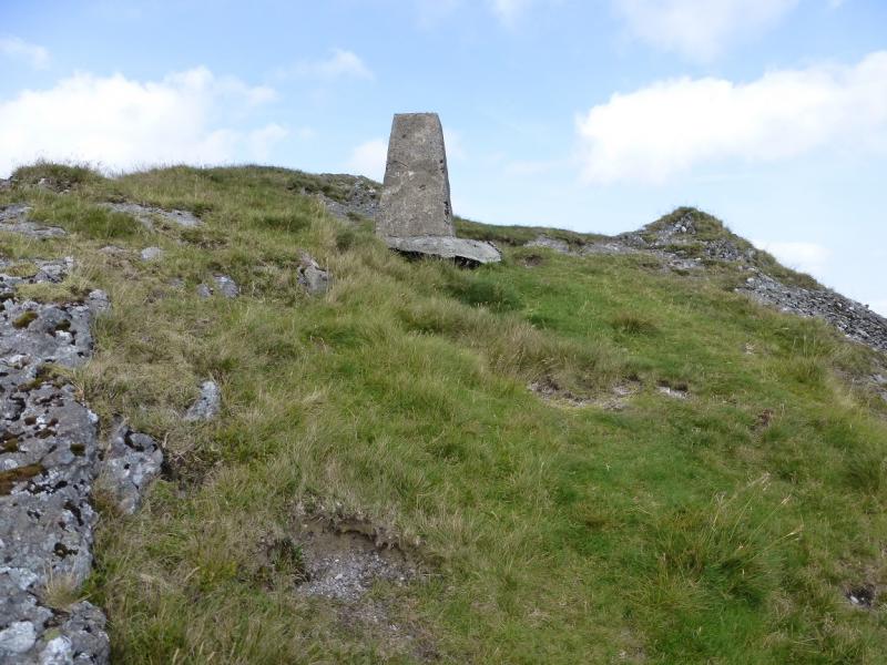
(5) Picking a way carefully through the boulders, descend slightly along the N ridge then go NW down more grassy slopes to a grassy col. Continue up the other side on a faint path trying to keep to the crest. There are two rocky tops, the second has the trig point just below the highest point of Knocksheegowna, 678 m. It is woth visiting the other rocky top as it is of similar height and requires virtually no extra effort.
(6) Retrace back to the summit of Knockanaffrin then descend towards The Gap. At the stile above Coumduala Lough, follow the sign and take the path going SW down a broad ridge. This leads back to the car park.
Notes
(a) This walk took place on 30th July, 2014.
(b) There is a very good camp and caravan site, at “The Apple” which is 4 miles/6 km from Cahir and 6 miles/9 km from Clonmel on the N24 trunk road from Limerick to Waterford. It is a commercial apple growing farm. There are all the usual facilities at no extra cost including Wi-Fi. Prices are very reasonable.
Photos - Hover over photo for caption. Click on to enlarge. Click on again to reduce.