Get Lost Mountaineering
You are here: Ireland » South » Waterford, Kilkenny & Carlow
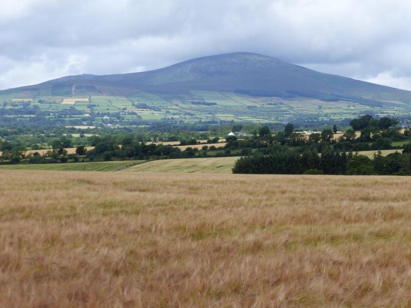
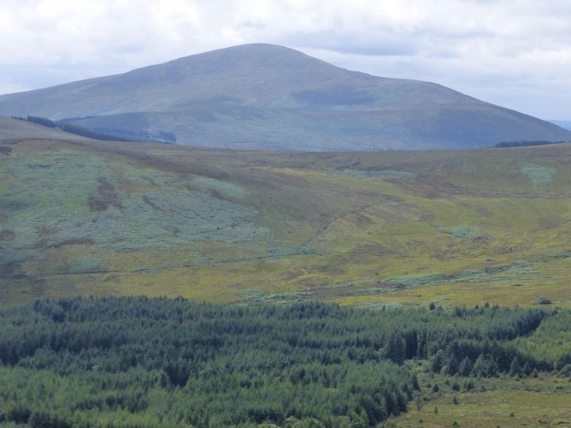
Blackstairs Mountain from Knockymullgarry
Blackstairs Mountain from Knockymullgarry
Start/Finish
From Ballymurphy, at about S 773 473 on sheet 68, take the road south past Rocksavage. After about 1 mile, take the left fork, After about another mile go past a T junction. Park, sensibly, near the next farm on the right just before the road turns into a track on a right hand corner. Just before the corner, a gate ahead leads to a track.
Distance/Time
8 km. About 3 hours
Peaks
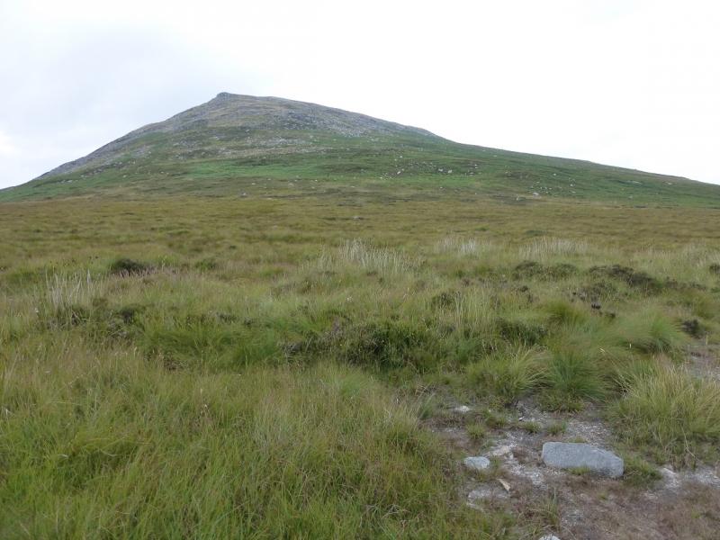
Blackstairs Mountain, 732 m, S 810 448. (Irish National Grid System)
Irish OS Discovery Series Map 68 (1:50000)
Introduction
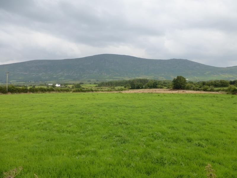
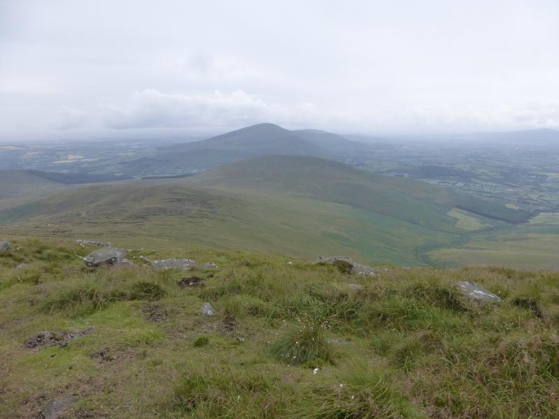
Blackstairs Mountain lies south of the Sculloge Gap with Mount Leinster lying to the N. These are the two highest mountains in the area. Probably the hardest part of the day is finding the start! The most interesting part of the mountain is its south ridge which has a few rocky outcrops known as Caher Roe's Den. Circular routes require long walk backs along roads unless one has two cars. However, as the ascent route is the finest route on the mountain, it makes sense to also descend that way. There are good views of the surrounding countryside as well as to Mount Leinster with its tall aerial. Going off route in the summer may lead one into deep ferns.
Route
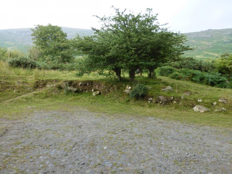
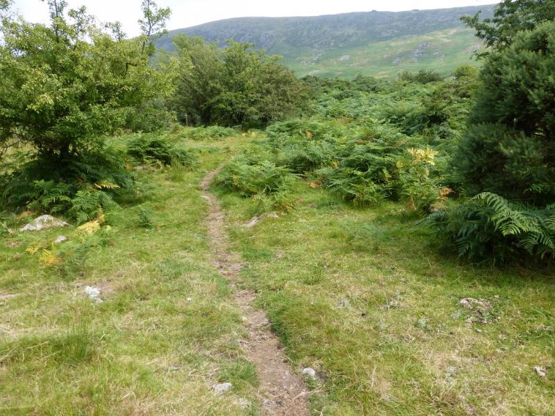
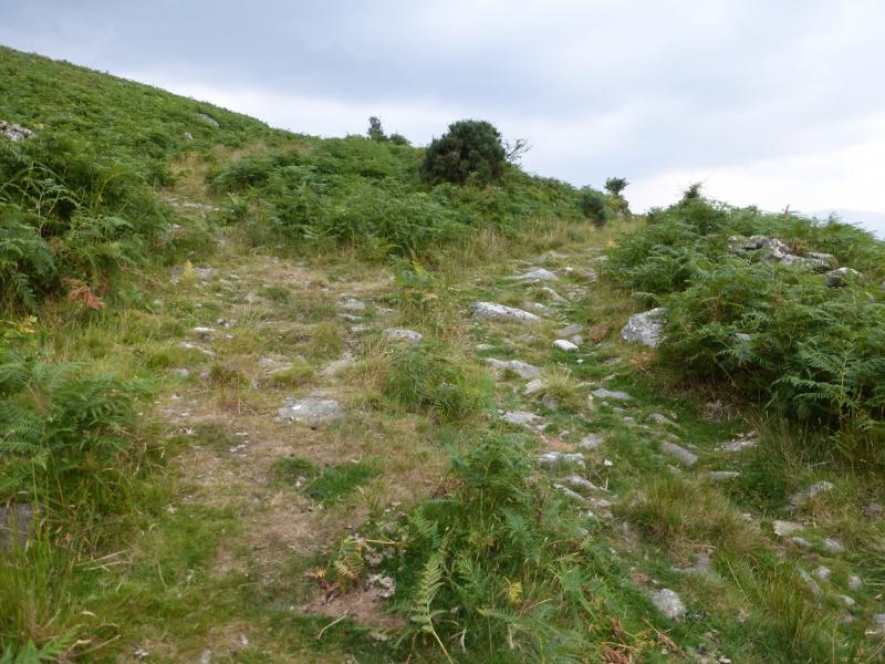
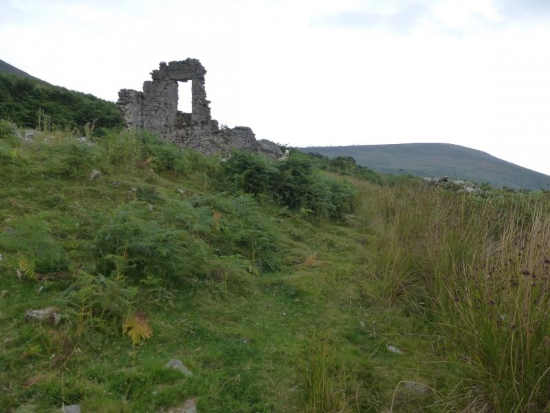
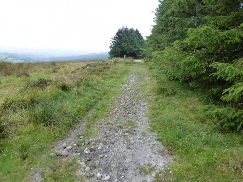
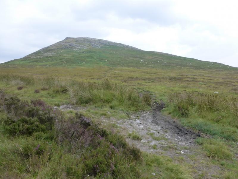
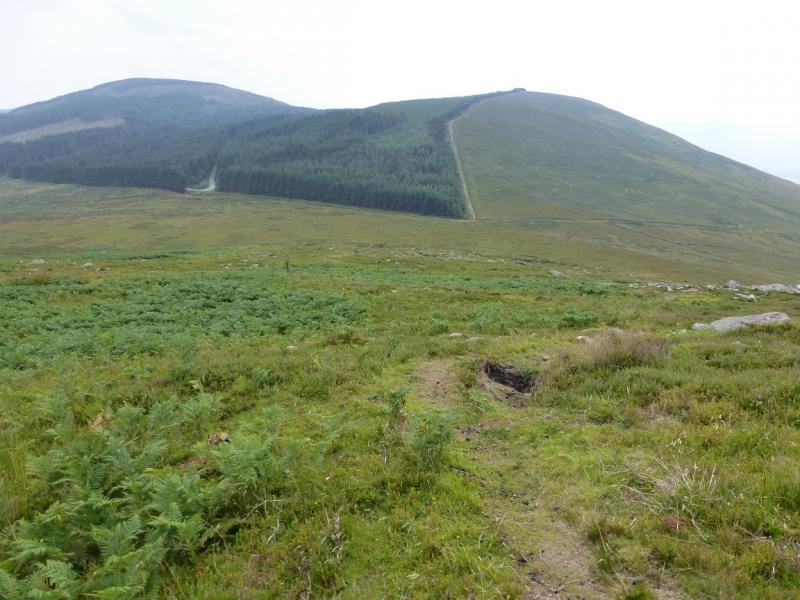
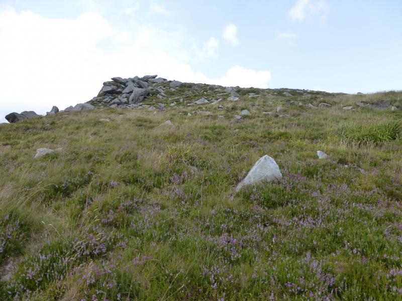
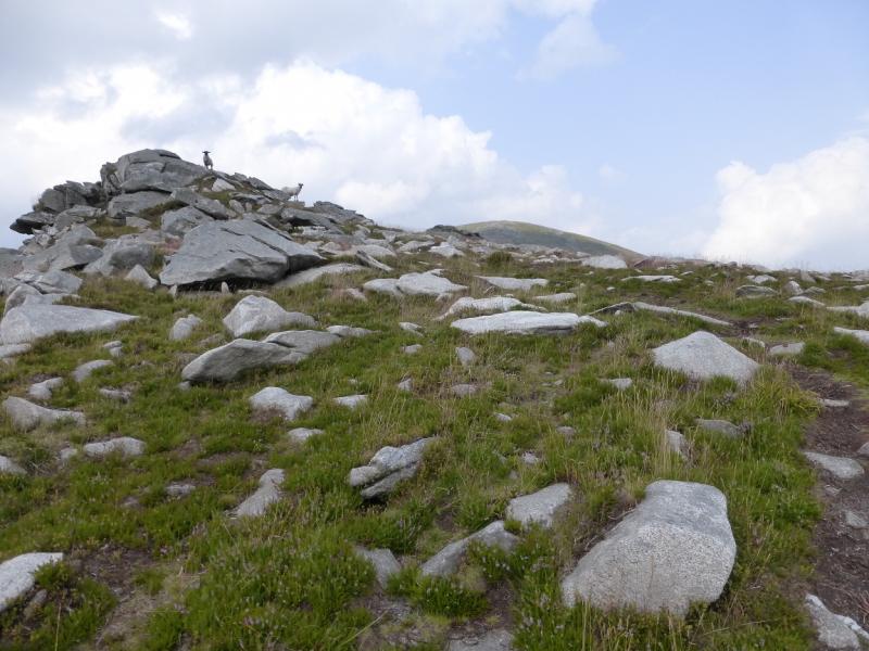
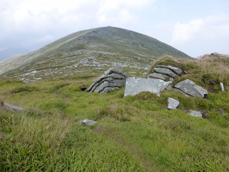
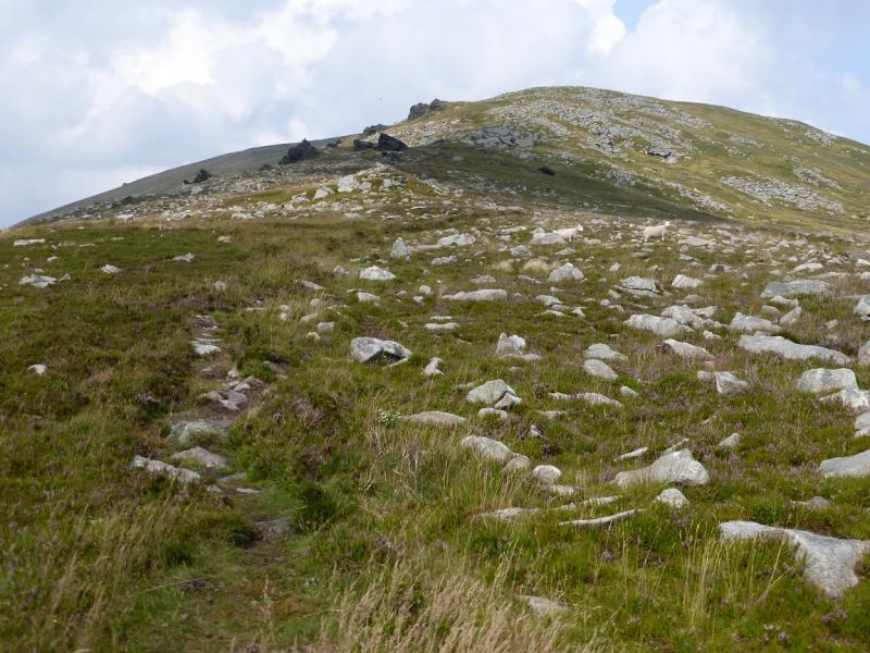
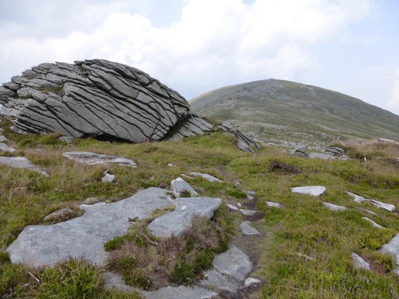
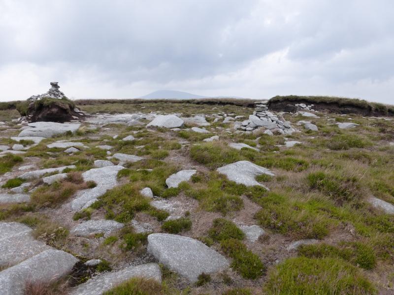
(1) Go through the gate just before the right hand bend and follow the track for about 40 m until there is an “opening” on the left. Go up this, which soon narrows, and follow a path through the vegetation which leads into the top walled field. Walk across this to about its top right corner where there is a gap in the wall and a path the other side. Take this path which leads uphill slightly before going right on an old grassy track which may not be obvious at first. Follow the overgrown track roughly south. It gradually becomes more defined and has a wall on its right in places. Later on, it seems to split. Take the right fork which leads past an old ruin. Continue on the track, boggy in places, which leads around to the S col of Blackstairs Mountain. At the corner of a wood, a forestry track joins from the right. Continue ahead. About 30 m before a gate (where another track joins from the right) a path goes uphill on the left. It should be possible to see this going a fair distance uphill. Follow the path which is almost a track in places. It leads past some outcrops on to a shoulder, dips slightly, then rises up past some interesting outcrops which look like blades of rock from below. When the angles eases, a grassy plateau is reached with a few peat hags. A short distance further, the path leads to two cairns about 5 m apart; one is on solid ground, the other on a small peat hag. This is the summit of Blackstairs Mountain, 732 m.
(2) Retrace the outward route.
Notes
(a) This walk took place on 31st July, 2014.
Photos - Hover over photo for caption. Click on to enlarge. Click on again to reduce.