Get Lost Mountaineering
You are here: Ireland » South » Waterford, Kilkenny & Carlow
Mount Leinster from Ballycrystal
Mount Leinster from Ballycrystal
Start/Finish
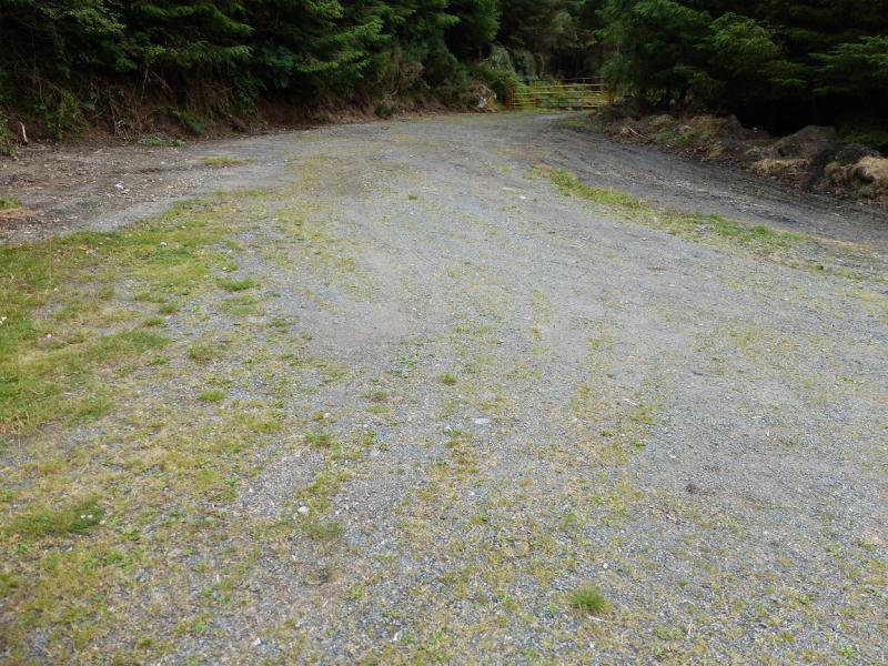
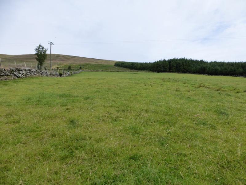
The simplest way, though not the shortest, from the village of Kiltealy (about S 852 468) is to drive towards Bunclody. After about 2.5 miles/4 km, take a left fork at S 875 500. Soon reach a T junction. Go left. After passing a reverse left fork, it is about a mile to the start which is by a wide entrance to a forestry track on the right at S 851 513. Just past here is a bungalow. Park sensibly in case forestry vehicles need access to the track.
Distance/Time
11 km. About 4 hours
Peaks
Black Rock Mountain, 599 m, S 861 526. (Irish National Grid System)
Mount Leinster, 793 m, S 826 525. Irish OS Discovery Series Map 68 (1:50000)
Introduction
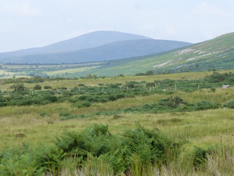
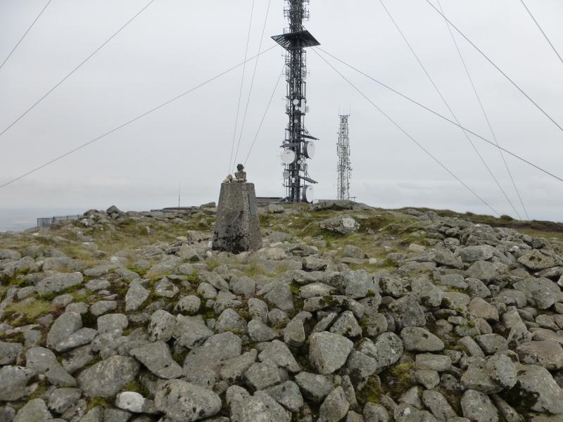
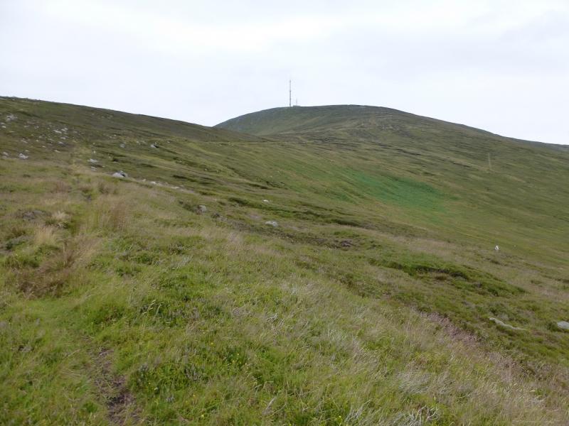
Mount Leinster lies north of the Sculloge Gap with Blackstairs Mountain lying to the S. These are the two highest mountains in the area. Probably the hardest part of the day is finding the start! Mount Leinster has a high aerial and associated buildings on its summit.
Route
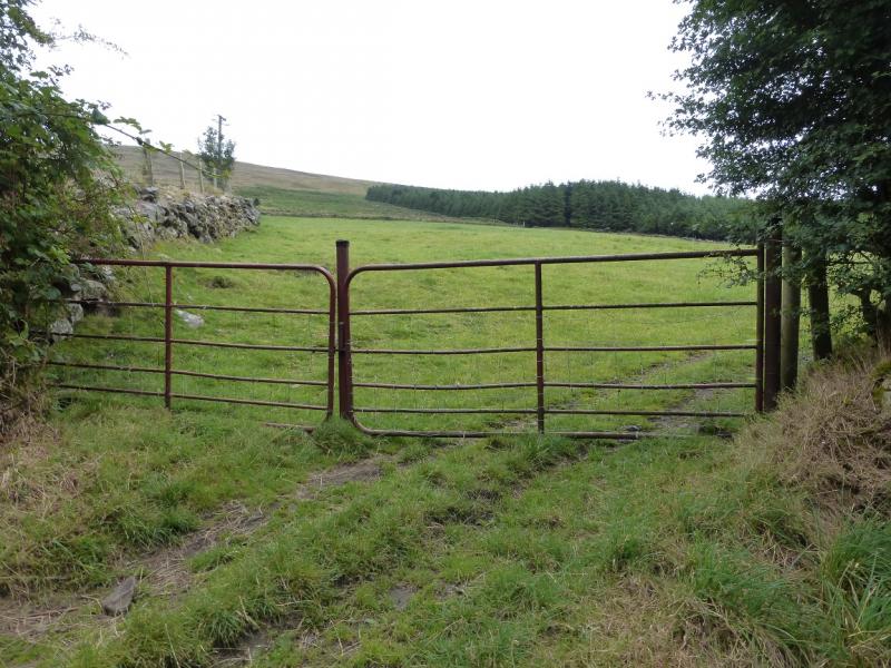
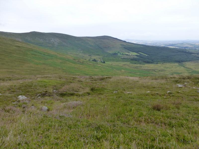
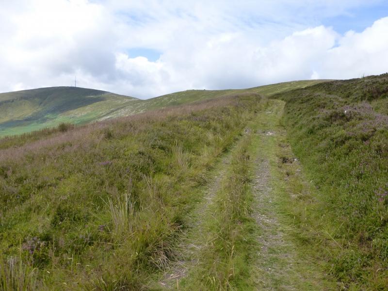
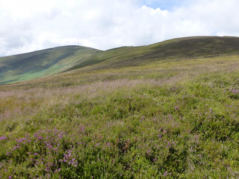
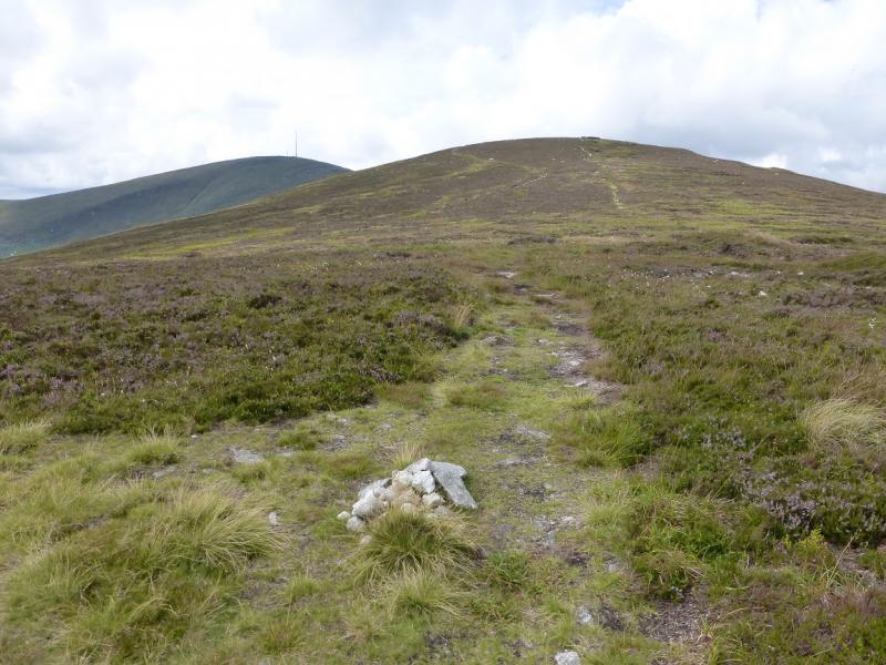
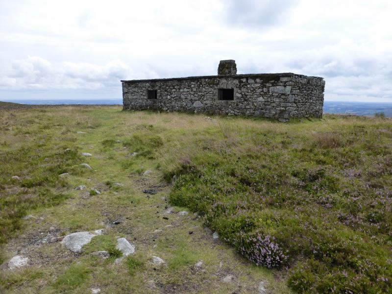
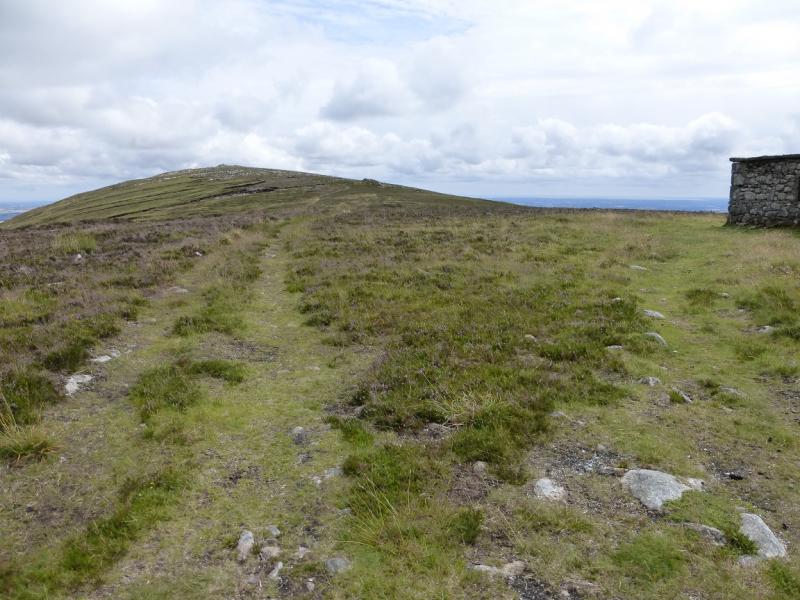
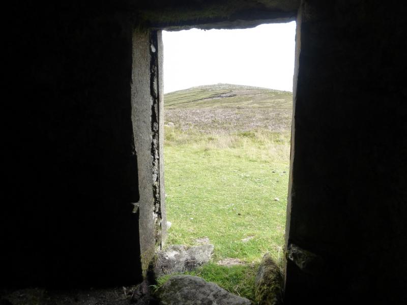
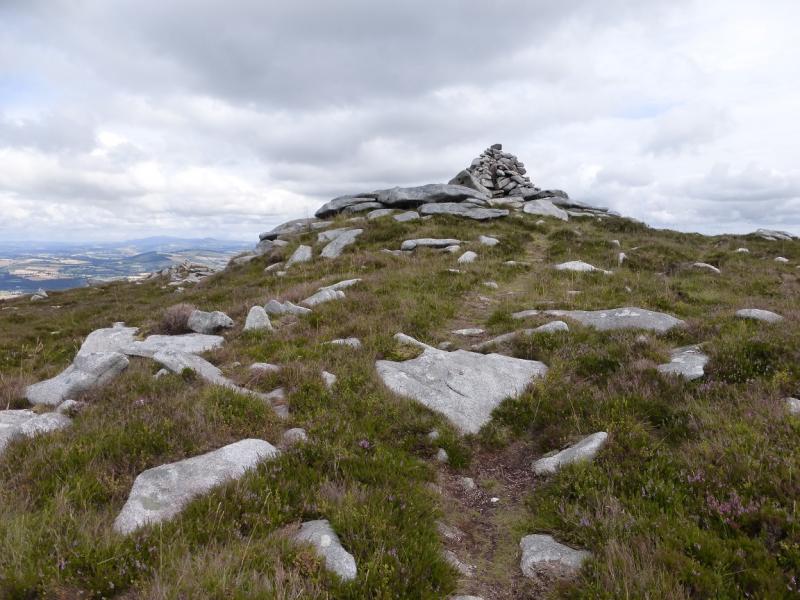
(1) Continue up the road past the bungalow. Go a little further, past the end of the forest, to reach an iron gate on the right which goes into a grassy field. Go up this field and through a gate into the next field. Go up the middle of this field to reach a gate (not visible when entering the field) which gives access to open ground. Continue up, with little in the way of a path, on slightly rough ground. Higher up, a good grassy track is reached which can be followed up to the col between Black Rock Mountain and Mount Leinster. There is a small cairn in the col and an obvious stone hut just to the E. Take the path/track E, past the hut and keep going, up gently rising ground, to reach a medium cairn which is the summit of Black Rock Mountain, 599 m. There is a smaller cairn below which offers better views to the N and E.
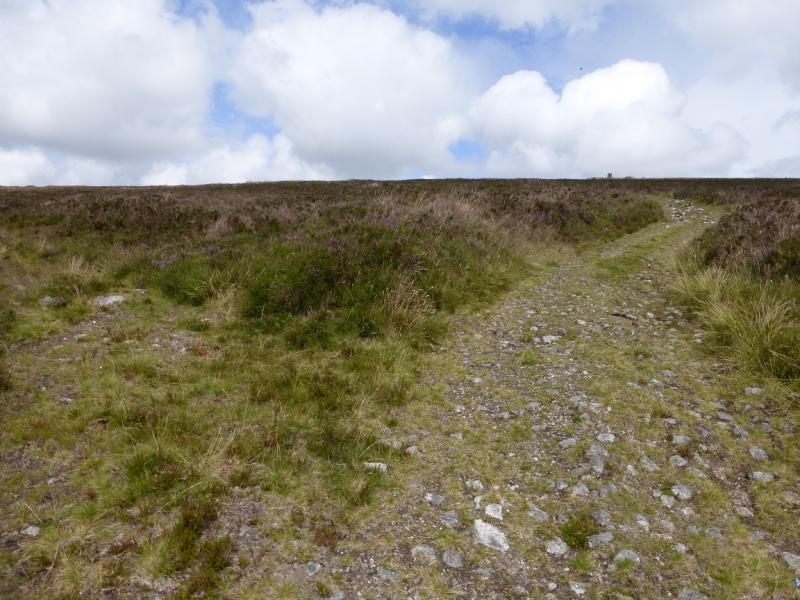
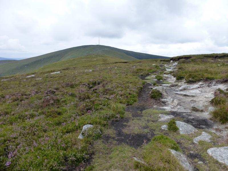
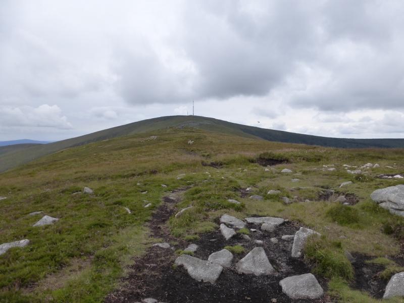
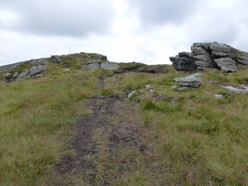
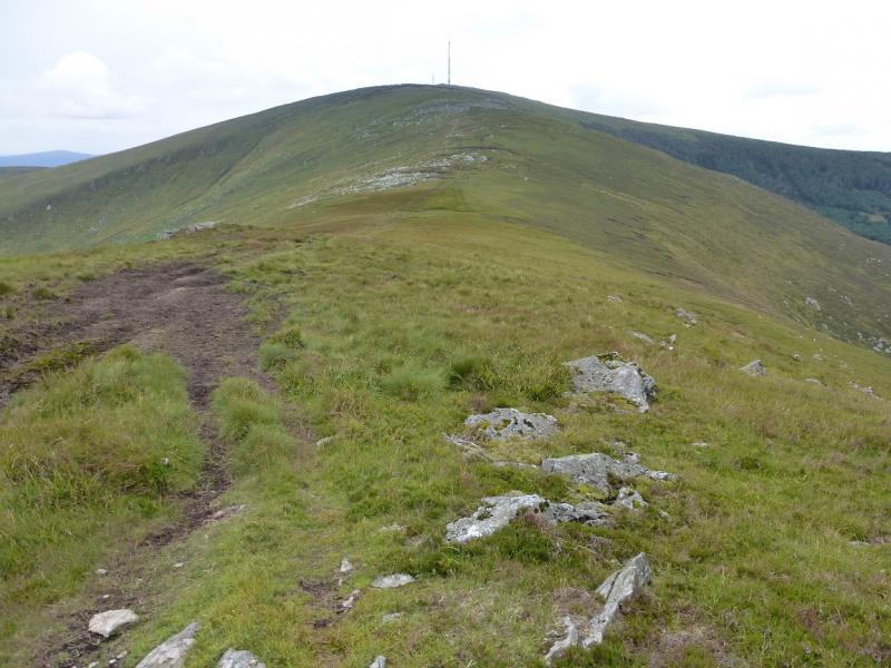
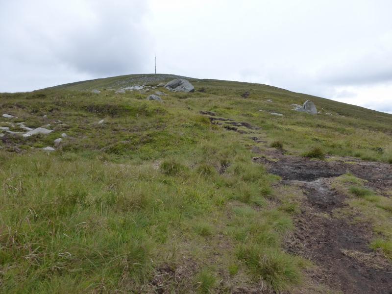
(2) Retrace to the hut and col then continue W on an obvious track which can be boggy in wet weather. This leads over a minor top which has a few small outcrops. Continue on the track. When another track joins from the left just below a scattered boulder field, a path goe sup the boulder field then through the peat hags towards the aerial and buildings. Walk around these. The trig point in an old shelter cairn lies on the W side and this is the summit of Mount Leinster, 793 m.
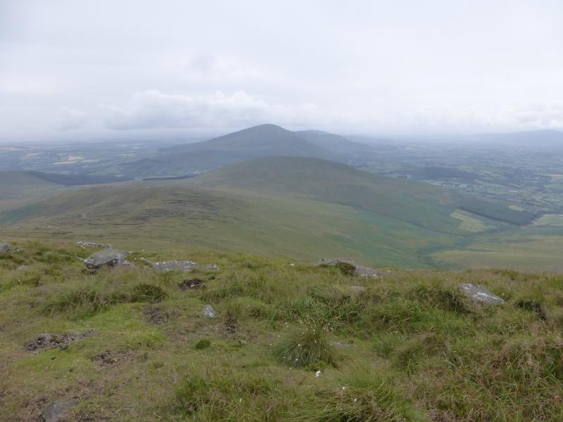
(3) Descend rough slopes SE to reach a good path down the S ridge. This path soon disappears but, in clear weather, a “track” further down the ridge should be visible. Aim for this and follow it down the ridge drifting more to the SE. When the track heading back to Ballycrystal can be seen below, drop down easy slopes, avoiding the dense ferns in summer, to join it. Try to aim for the single tree seen from near the start. From here follow the rough track which gradually improves and becomes a road which leads back to the start.
Notes
(a) This walk took place on 1st August, 2014.
Photos - Hover over photo for caption. Click on to enlarge. Click on again to reduce.