Get Lost Mountaineering
You are here: Ireland » East » Wicklow Mountains
Djouce Mountain, War Hill & Tonduff
Djouce Mountain, War Hill & Tonduff from Wicklow Way by Lough Tay
Start/Finish
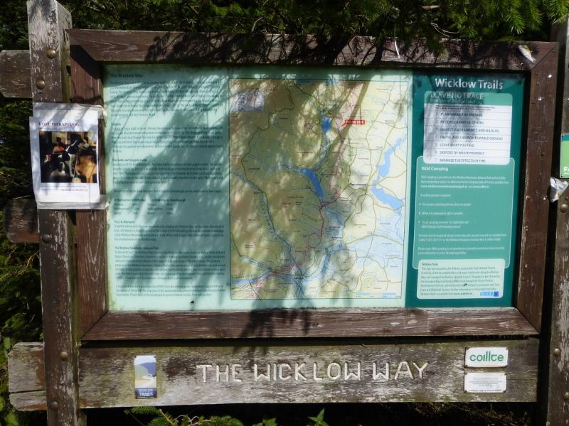
From Blessington, on the N 81 main road, drive north for about 4 miles/ 6 km to reach a minor road on the right signed for Sally Gap. Follow this for about 8 miles/13 km to the diagonal crossroads at Sally Gap. Go across and drive to the third car park by Lough Tay. This is entered by a reverse left fork and is on the Wicklow Way with a notice at the end of the car park. Warning: The official car parks in this area have warning signs about cars being broken into so do not leave anything of any value in your car and especially on view as you may come back to broken windows. There is no place off this road where you can hide your car so think carefully about where to park. The official car parks are perhaps best avoided as leaving your car there suggests you will be away from it for a few hours. Parking at the entrance of a forest track might suggest you are on a short walk, such as with a dog, and could be back quite soon so breaking into such a car might pose more of a risk to these criminals.
Distance/Time
16 km. About 6 hours
Peaks
White Hill, 630 m, O 179 089. (Irish National Grid System)
Djouce Mountain, 725 m, O 178 103.
War Hill, 686 m, O 169 113.
Tonduff, 642 m, O 159 136. Irish OS Discovery Series Map 56 (1:50000)
Introduction
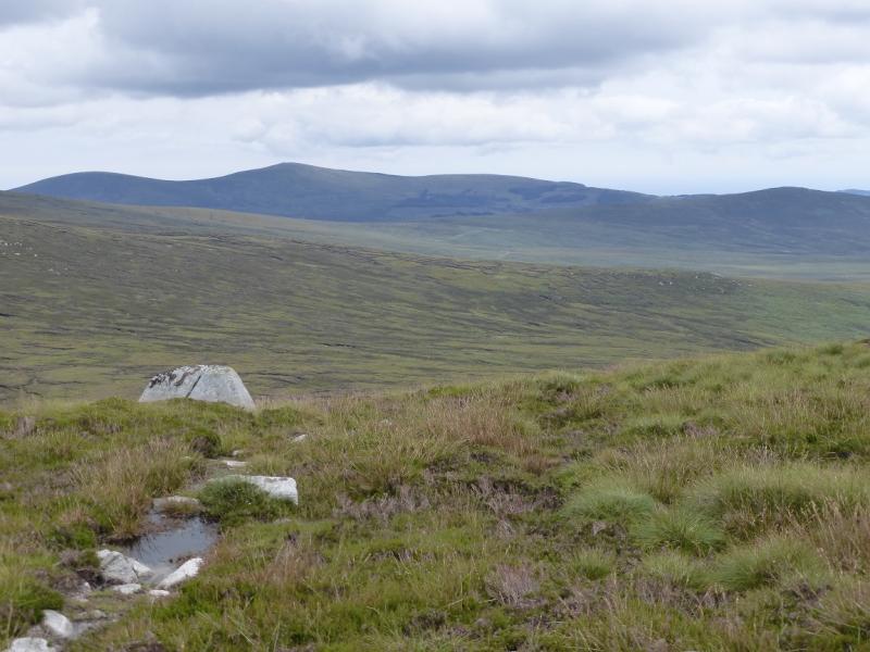
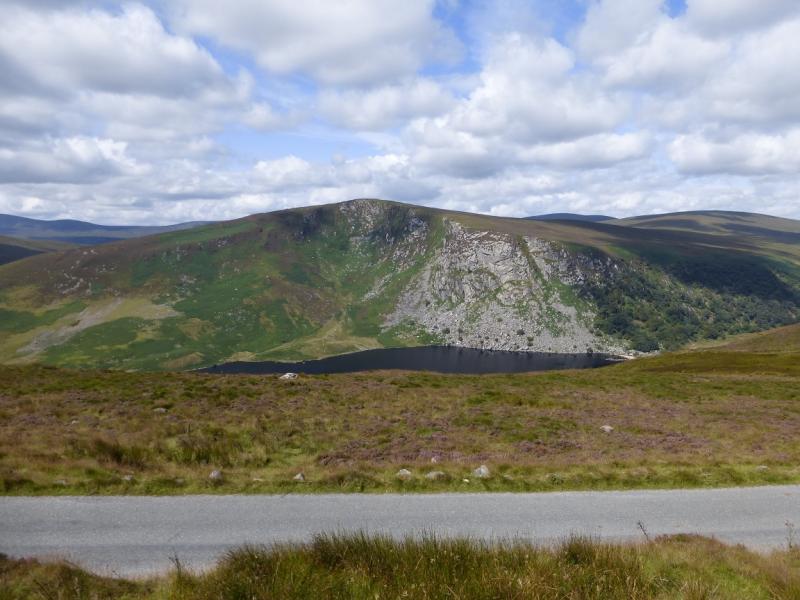
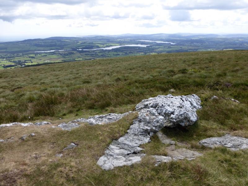
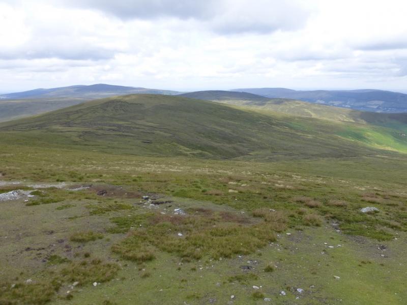
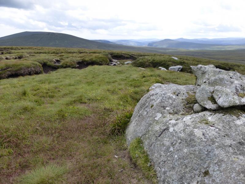
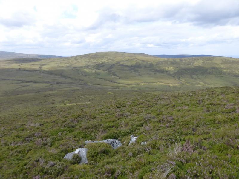
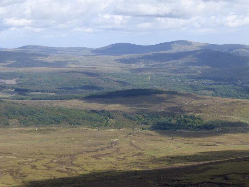
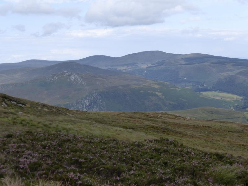
This is a high moorland walk with some peaty and boggy sections. The worst of the bog is in the col between Djouce Mountain and War Hill. The wettest section is in the dip between War Hill and Tonduff. Neither of these are too bad in a prolonged warm and dry spell. Djouce Mountain is very easily and quickly reached by a very good path. Views are good and include Kippure (with its aerial), Mullachcleevaun, Tonegalee and Ludnaquilla.Dublin Bay is also well seen. Navigation in mist would be quite taxing and the bogs would be harder to avoid. You should be able to easily reset your GPS to the Irish National Grid System. Unless two cars are available, the most sensible return is to retrace the outward route.
Route
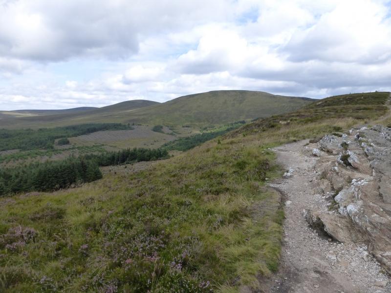
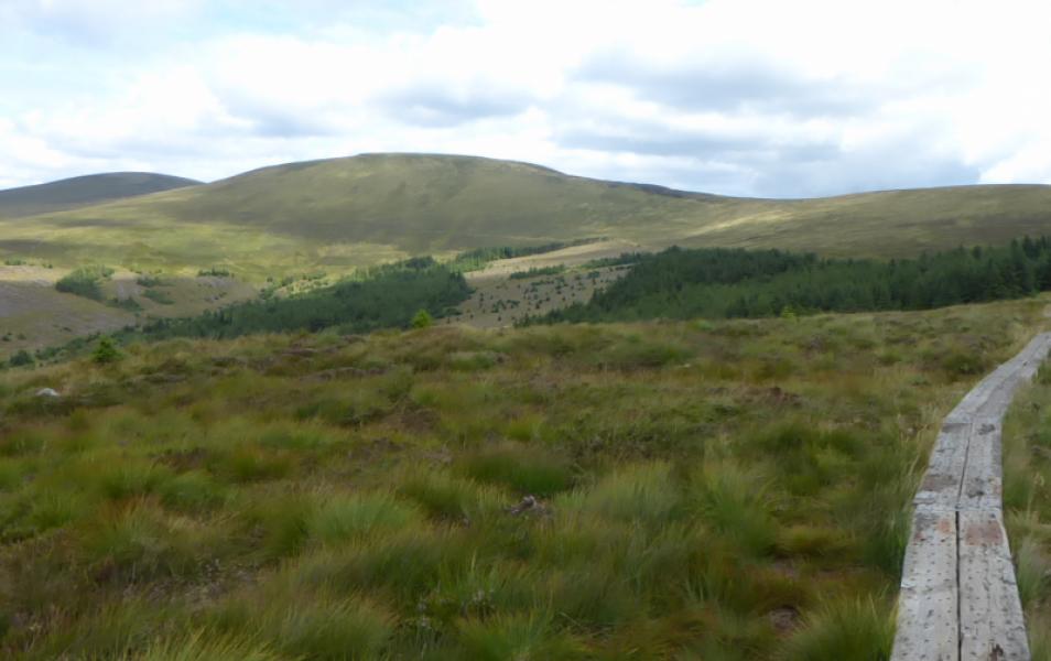
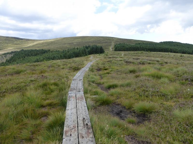
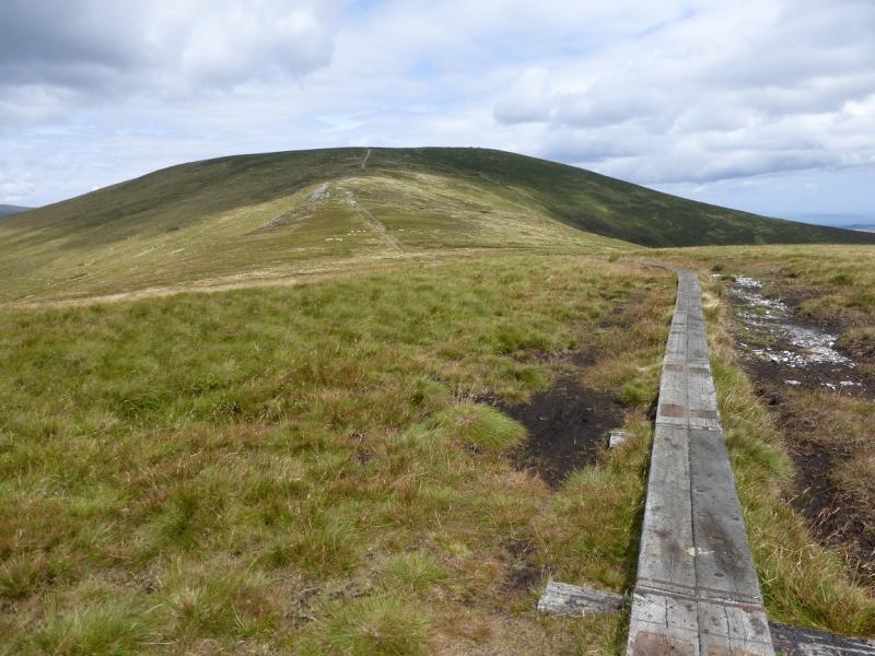
(1) Walk out of the car park past the notice and barrier. Soon fork left on to a path, much of which is on board walks. After a small dip, an almost level crest is reached. There is a post and a very low outcrop but no cairn. This is White Hill, 630 m.
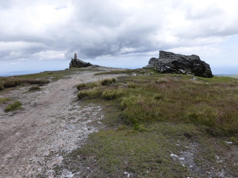
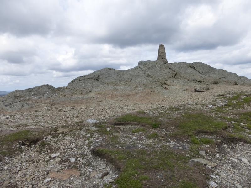
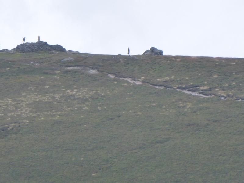
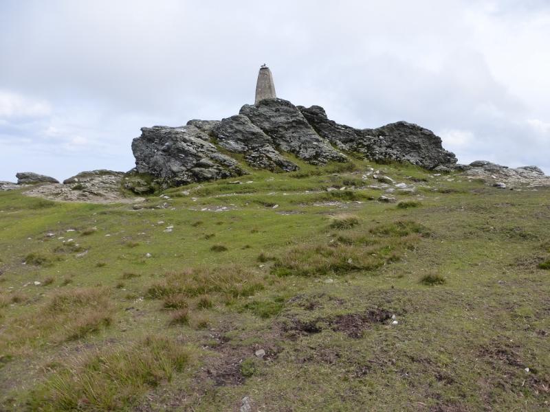
(2) Continue along the board walks, descending gently to a shallow col. Continue up the other side. The Wicklow Way soon goes off right but continue ascending on the good path to reach the pointed trig point on an outcrop which is the summit of Djouce Mountain, 725 m. There are also some cairns nearby.
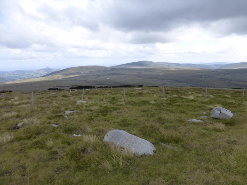
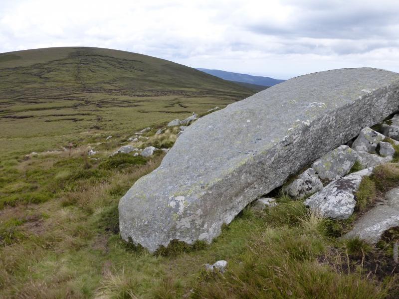
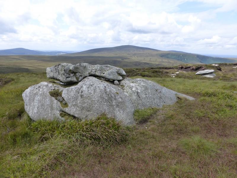
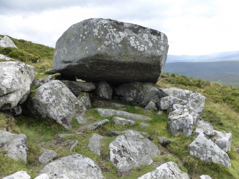
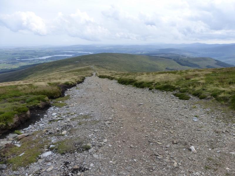
(3) Descend on, initially, a good gravel path going WNW. This soon deteriorates into a wet and peaty path. It leads to a group of stones dominated by one very large boulder which looks like a huge standing stone which has fallen over. This is known as “The Coffin Stone” although it does not look much like a coffin. It offers shelter from wind and rain. From here, a path goes NNW down to the very boggy col where many detours will be necessary in a wet spell. Continue up the other side, in roughly the same direction, still following the path to reach a plateau with a small cairn which marks the summit of War Hill, 686 m.
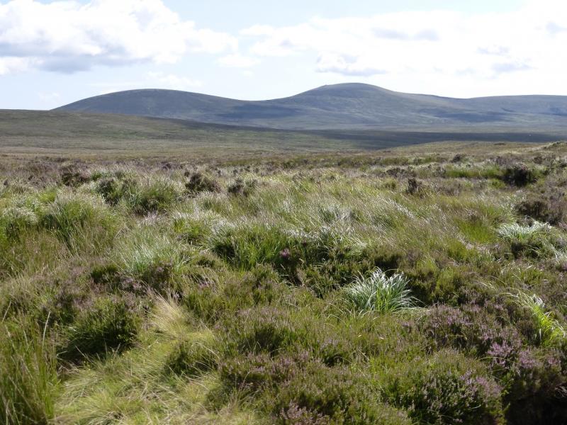
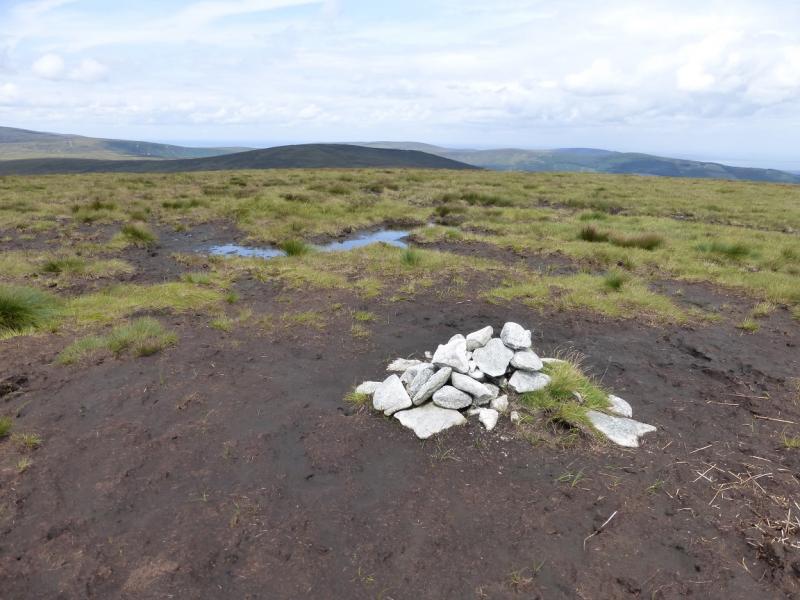
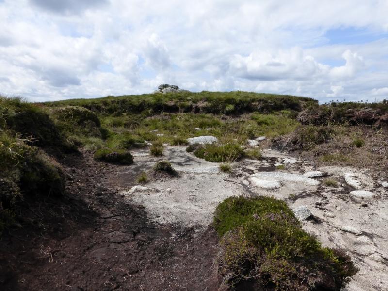
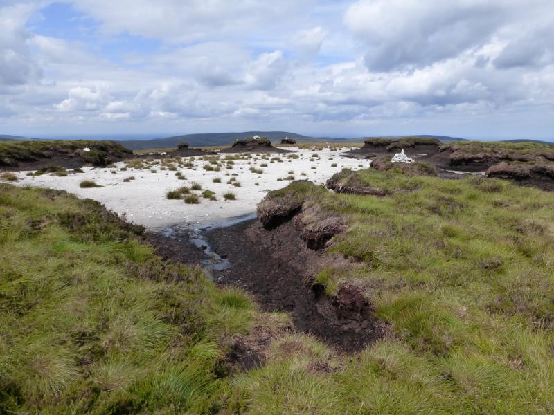
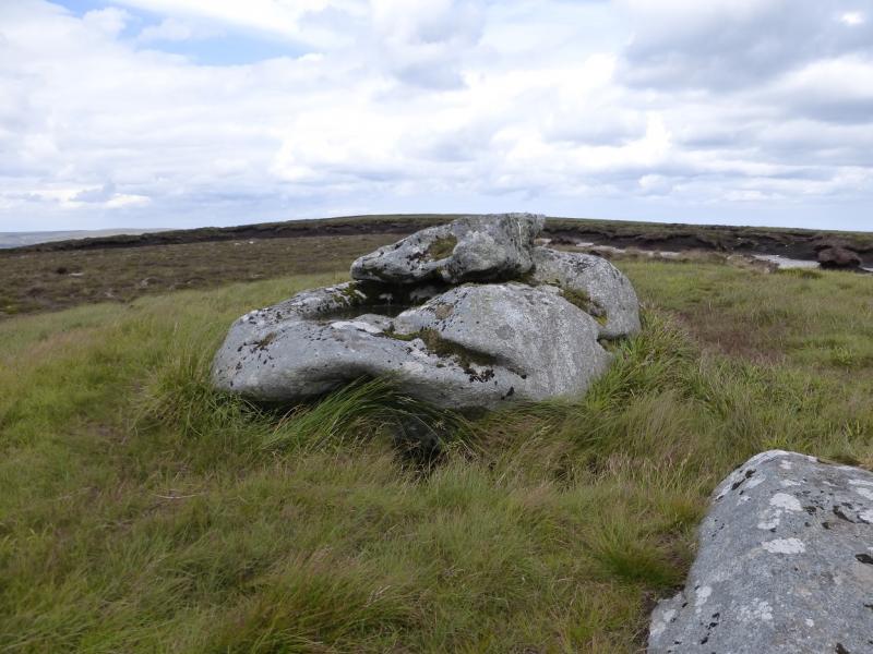
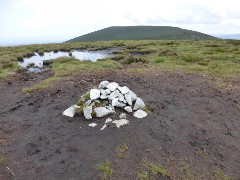
(4) From the summit, a fairly distinctive path goes roughly NW but becomes very faint when the ground flattens so then head roughly N, crossing some wide grooves containing the upper tributaries of the Dargle River. Once across these, look for a hint of a path higher up and aim for it. It leads to a small but distinctive outcrop not far S of the highest point. From here, a faint path runs N into a flat area of peat hags and gravel where there are several peat hags crowned with cairns. Surprisingly there is no cairn on the flat ground as the peat hags may not count as the summit. Somewhere near here, or the outcrop, is the highest point on Tonduff, 642 m.
(5) Retrace the outer route over War Hill, Djouce Mountain and War Hill.
Notes
(a) This walk took place on 7th August, 2014.
(b) To avoid retracing the outward route and if only one car is available, a bicycle could be strategically placed but do remember the high crime rate in these hills.
(c) There is an excellent camping and caravan site, in the village of Donard, called Moat Farm. It has beautiful landscaped grounds, including a stone circle (!) and is very well laid out with free hot showers. There is a large campers’ kitchen with tables and sinks but bring your own cooking equipment and pans. There is a fridge and freezer. There is also a sitting room with a TV. The owner and staff are very welcoming, very friendly and very helpful. You would be hard pressed to find a nicer site. Donard is about 4 miles from the Glen of Imaal stores (where you can buy a sandwich). Donard is signposted off the N 81 main road between Blessington and Baltinglass. More about Moat Farm in its own section!
Photos - Hover over photo for caption. Click on to enlarge. Click on again to reduce.