Get Lost Mountaineering
You are here: Ireland » East » Wicklow Mountains
Mullaghcleevaun to Carrigvore
Mullaghcleevaun to Carrigvore
from below Carrigshouk on Sally Gap to Laragh Road
Start/Finish
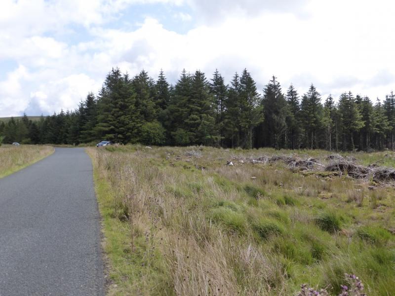
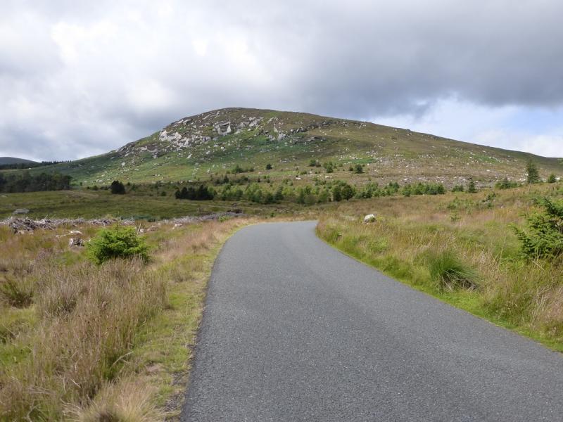
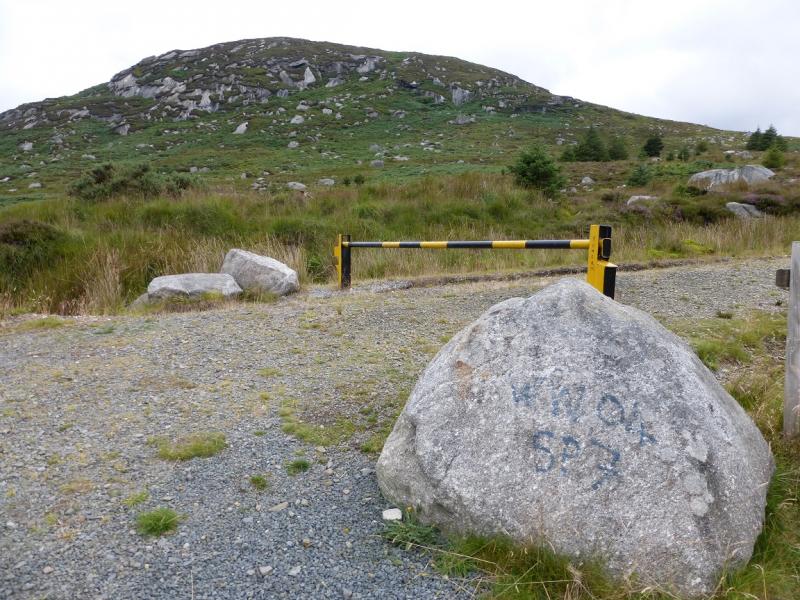
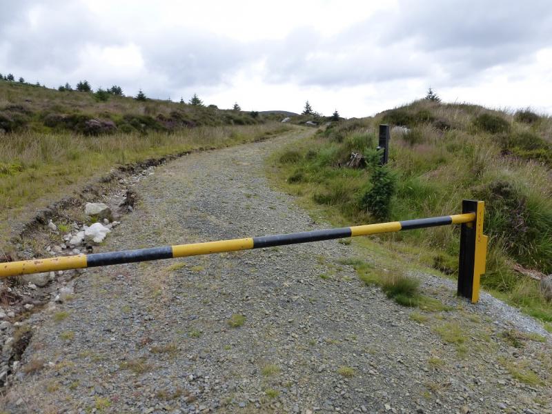
Below Carrigshouk on the Sally Gap to Laragh road. From Blessington, on the N 81 main road, drive north for about 4 miles/ 6 km to reach a minor road on the right signed for Sally Gap. Follow this for about 8 miles/13 km to the diagonal crossroads at Sally Gap. Turn right, S, and follow the narrow twisting road for about 5 miles/8 km to a track on the left at the end of the forest. This track has a wide opening and a barrier set well back. Further along, on the right, is another track with a barrier. Beyond here is the stony hill of Carrigshouk. If you reach a point where there is a river following the road on the right then you have gone too far. Warning: The official car parks in this area have warning signs about cars being broken into so do not leave anything of any value in your car and especially on view as you may come back to broken windows. There is no place off this road where you can hide your car so think carefully about where to park. The official car parks are perhaps best avoided as leaving your car there suggests you will be away from it for a few hours. Parking at the entrance of a forest track might suggest you are on a short walk, such as with a dog, and could be back quite soon so breaking into such a car might pose more of a risk to these criminals.
Distance/Time
18 km. About 6 hours
Peaks
Mullaghcleevaun E Top, 794 m, O 082 066. (Irish National Grid System)
Mullaghcleevaun, 849 m, O 067 070.
Duff Hill, 720 m, O 093 082.
Gravale, 718 m, O 104 094.
Carrigvore, 682 m, O 122 101. Irish OS Discovery Series Map 56 (1:50000)
Introduction
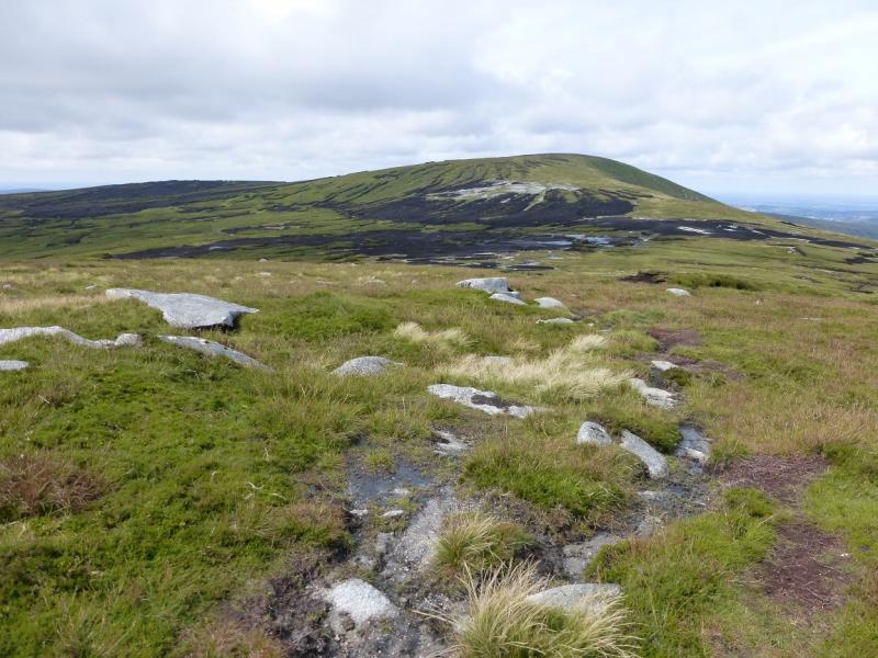
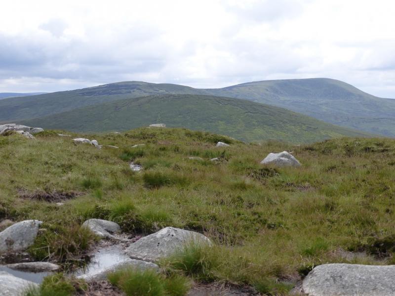
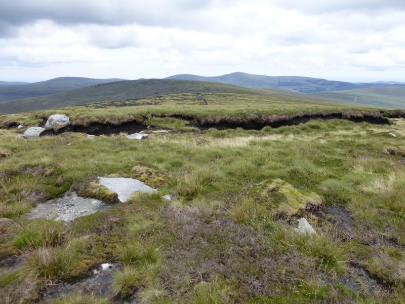
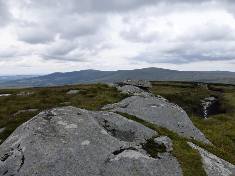
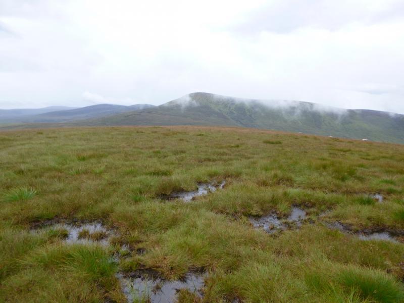
This is a high moorland walk with some peaty and boggy sections. Mullaghcleevaun is the second highest mountain, after Ludnaquilla, in the region but does not have much in the way of interesting features. Duff Hill, Gravale and Carrigvore are even less interesting. If you only wish to visit Mullaghcleevaun then it is probably best to retrace the route back over its E Top which gives the most pleasing approach from the Sally gap road. The going can be very boggy especially in a wet spell and many detours will be taken around boggy ground. It is best to save this walk for a clear day so that the detours are then much more obvious. Views are reasonable and include Kippure (with its aerial), Djouce Mountain, Tonegalee and Ludnaquilla.Navigation in mist would be quite taxing and the bogs would be harder to avoid. You should be able to easily reset your GPS to the Irish National Grid System.
Route
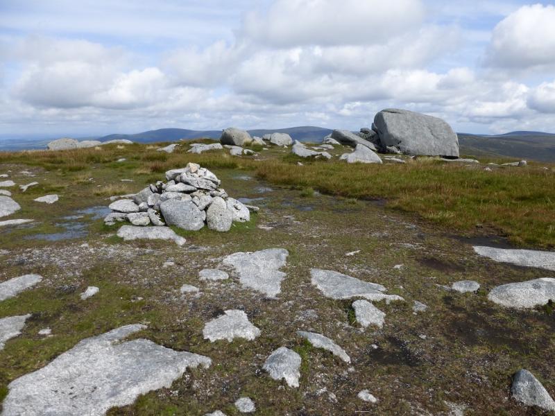
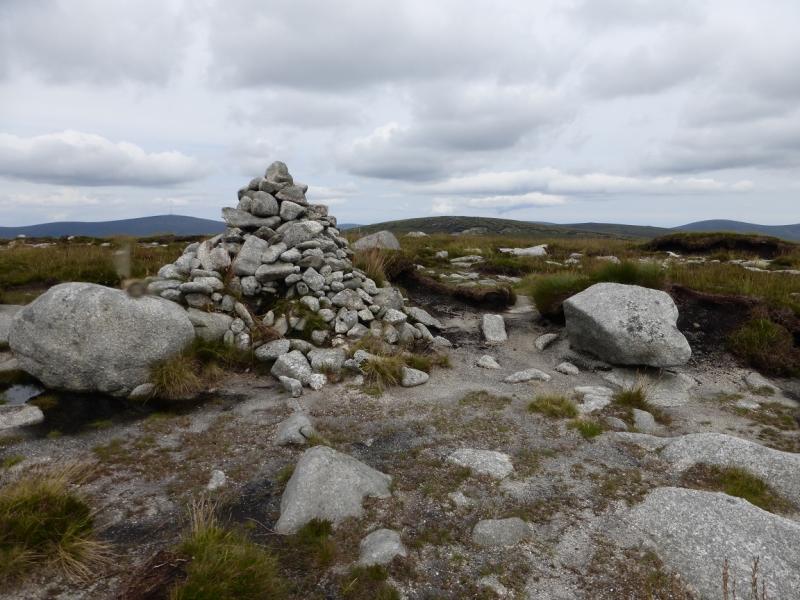
(1) Continue S along the road to the track just before Carrigshouk. Walk up the track to where it starts to descend to a stream about 50 m ahead. A faint path goes off left which soon becomes an old track before reverting to a path which can be faint in places. Follow this to the dip between Carrigshouk and Mullaghcleevaun E Top. If your brain is not in gear then you may think that the ridge heading S goes to Mullaghcleevaun and that one can traverse under the E Top. This would be a big mistake as the ridge going S goes to Tonegalee! Mullaghcleevaun can not be seen until its E Top is reached. Stay on the crest, heading roughly NE, to reach a medium cairn which marks the summit of Mullaghcleevaun E Top, 794 m. There are some large boulders nearby which can offer shelter if the weather is poor.
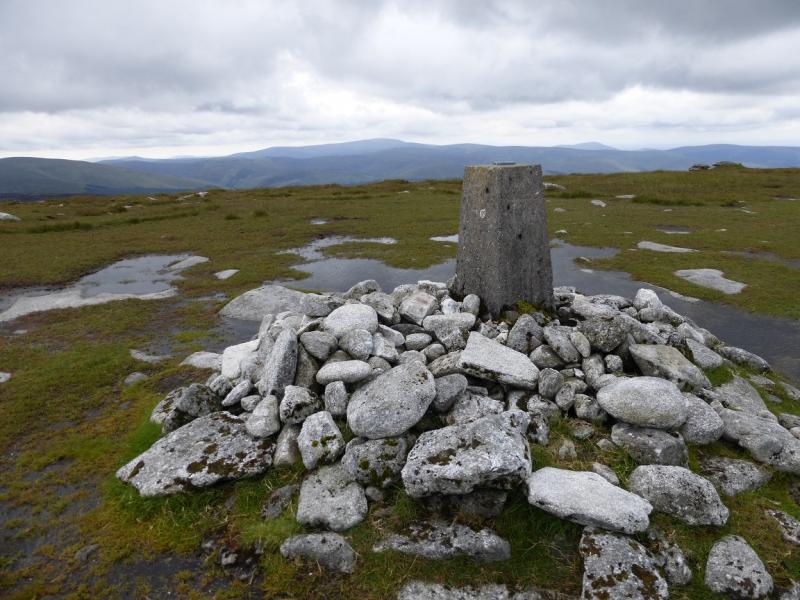
(2) Descend slightly N of E on easy slopes then pick a way E up similar slopes which are a mixture of grass, gravel and peat. These soon lead to a trig point which is the summit of Mullaghcleevaun, 849 m. There is a memorial plaque on a boulder to the NW.
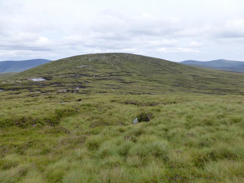
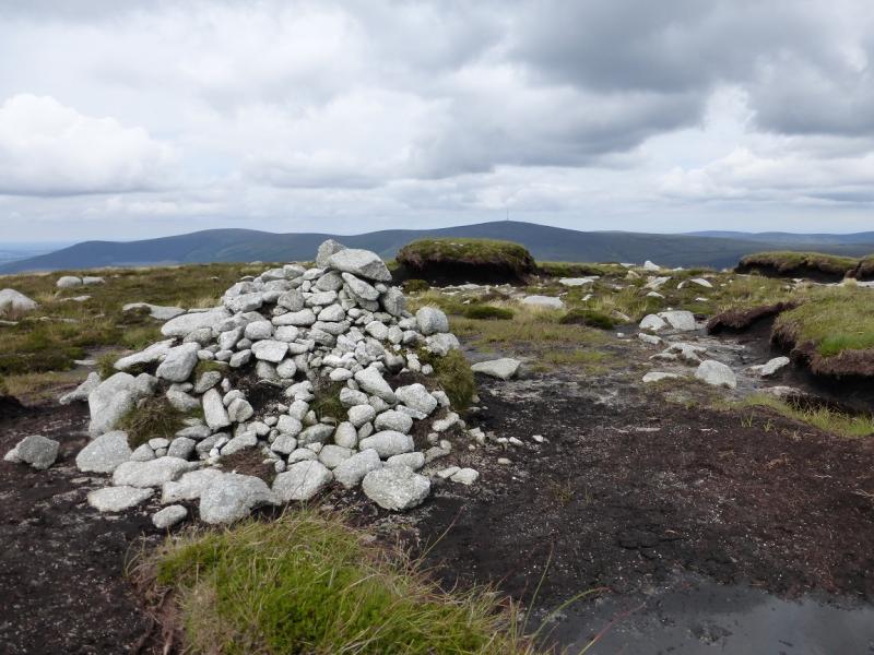
(3) Retrace back towards the E Top but traverse it on its NW side to reach its NNE ridge. There is a path but it can easily be lost. Descend to a col using a small lake (not on the map) as a guide. Continue up to reach flat area where a medium cairn marks the summit of Duff Hill, 720 m.
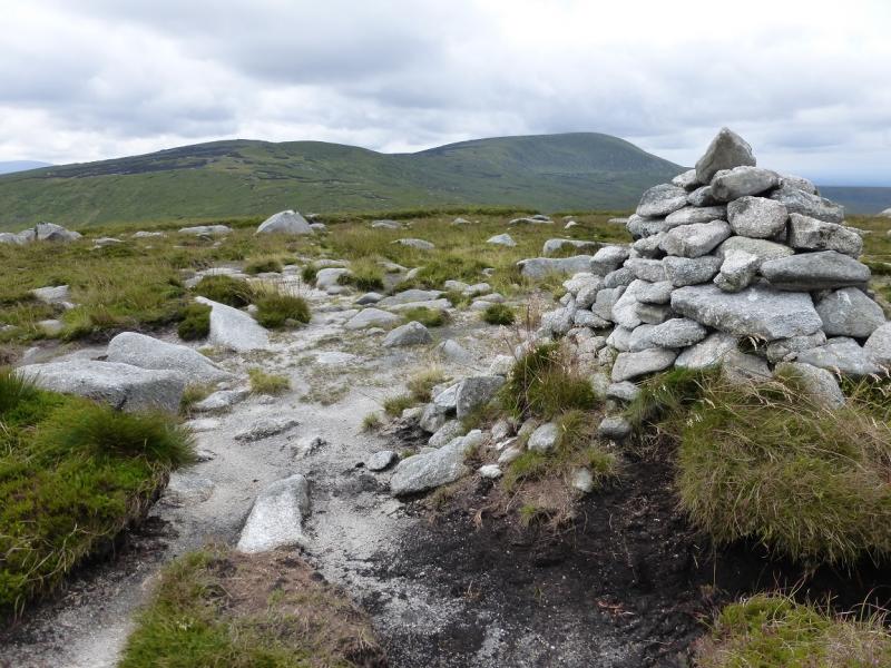
(4) Descend NE down easy, but often wet, grassy slopes to a boggy col. Again, there is a path which is easily lost. Continue up the other side to reach a flat peaty area where a medium cairn marks the summit of Gravale, 718 m.
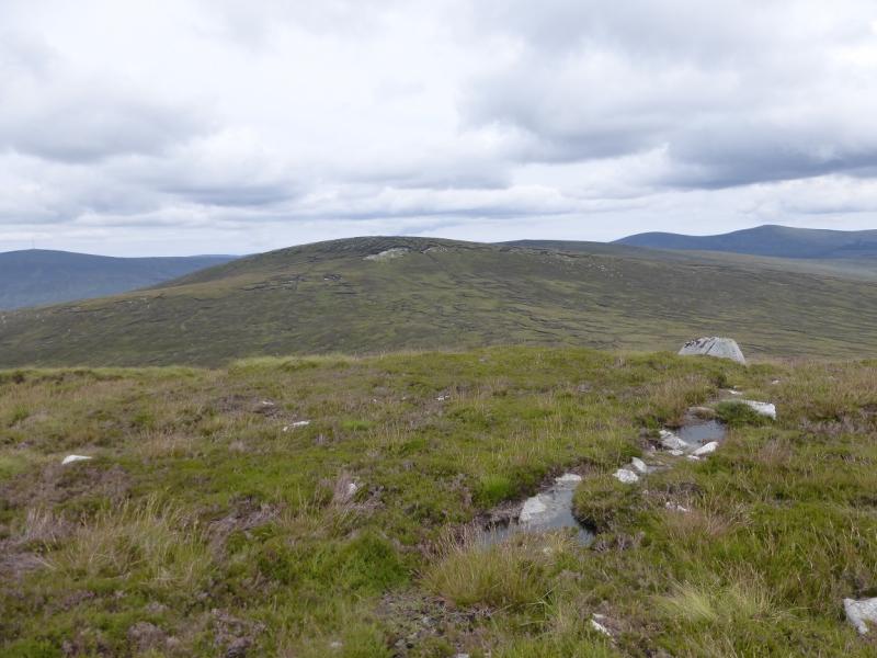
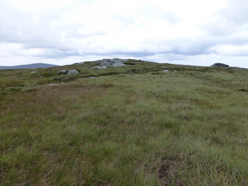
(5) Descend E, on similar ground, to reach a shoulder then continue down, more steeply, to reach a boggy col. Ascend NE up similar slopes, keeping to the left for the best chance of finding a path, to reach a flat area.. There is no cairn but a long rocky outcrop contains the highest point of Carrigvore, 682 m.
(6) Descend due S down easy grassy and heathery slopes. The ground is no worse than on the crest and better most of the way. Reach the road. Turn right and walk back to the start.
Notes
(a) This walk took place on 5th August, 2014.
(b) The walking back along the road takes almost an hour. Some time would be saved by having two cars and this might allow an easier route off Carrigvore or even including Silseam and Moanbane in the walk. With only one car, a bicycle could be strategically placed but do remember the high crime rate in these hills.
(c) There is an excellent camping and caravan site, in the village of Donard, called Moat Farm. It has beautiful landscaped grounds, including a stone circle (!) and is very well laid out with free hot showers. There is a large campers’ kitchen with tables and sinks but bring your own cooking equipment and pans. There is a fridge and freezer. There is also a sitting room with a TV. The owner and staff are very welcoming, very friendly and very helpful. You would be hard pressed to find a nicer site. Donard is about 4 miles from the Glen of Imaal stores (where you can buy a sandwich). Donard is signposted off the N 81 main road between Blessington and Baltinglass. More about Moat Farm in its own section!
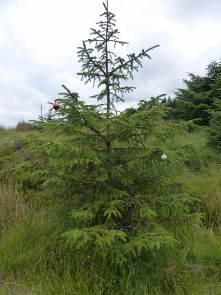
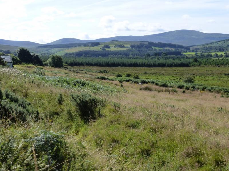
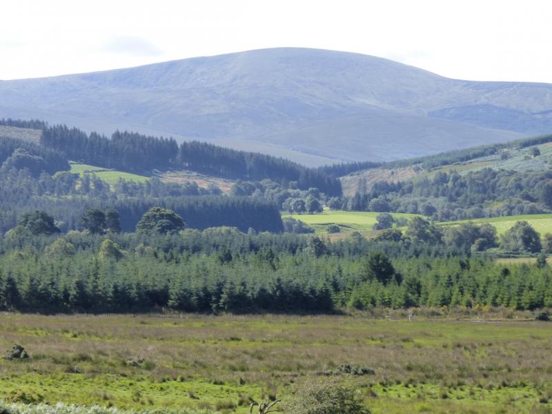
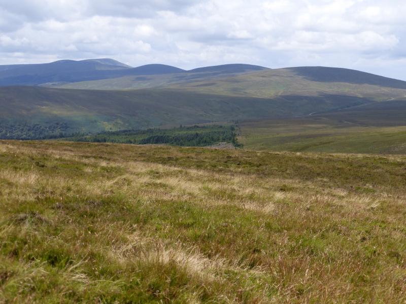
Photos - Hover over photo for caption. Click on to enlarge. Click on again to reduce.