Get Lost Mountaineering
You are here: Ireland » East » Wicklow Mountains
Silsean & Moanbane from Glenbride
Silsean & Moanbane from Glenbride
Start/Finish
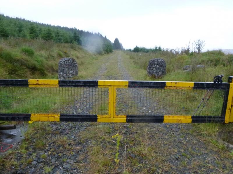
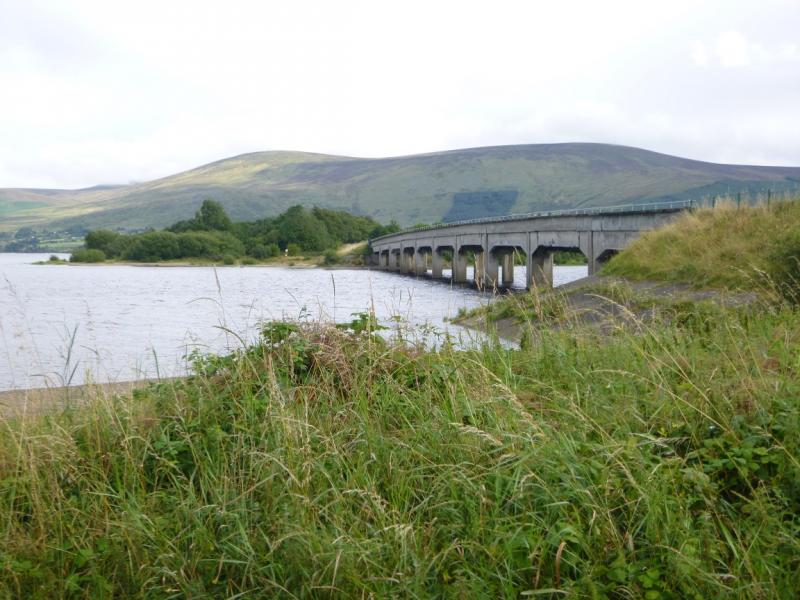
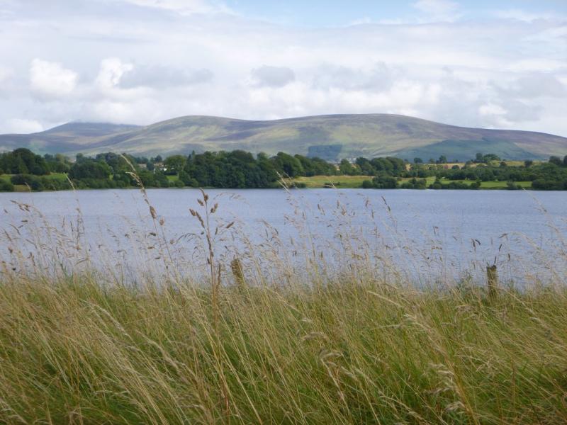
Glenbride. From Blessington, drive south on the N81 towards Baltinglass. Just S of Blessington, turn left on to the R758 which soon leads across a causeway. Continue on the same road and cross a second causeway from where there are good views across the reservoir to Moanbane and Silsean. Go past O' Connor's Bar and the church. Ignore the next left turn but almost immediately after, the R758 swings right and a minor road goes straight ahead. Follow this minor road for about 2.5 miles/4 km then turn left for Glenbride. Drive past the start of the forest on the left then look for a track forking left and, opposite, a track forking right. Both have barriers. Park sensibly near here.Warning: The official car parks in this area have warning signs about cars being broken into so do not leave anything of any value in your car and especially on view as you may come back to broken windows.
Distance/Time
9 km. About 4 hours
Peaks
Silsean, 698 m, O 023 056. (Irish National Grid System)
Moanbane, 703 m, O 033 068. Irish OS Discovery Series Map 56 (1:50000)
Introduction
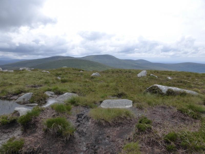
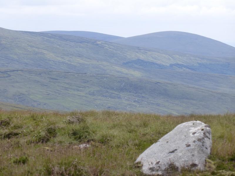
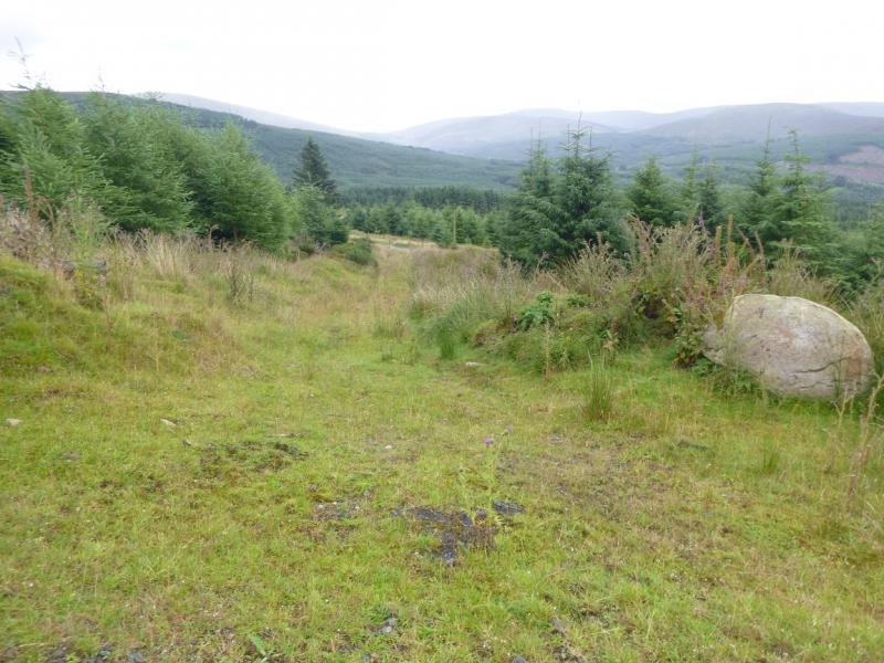
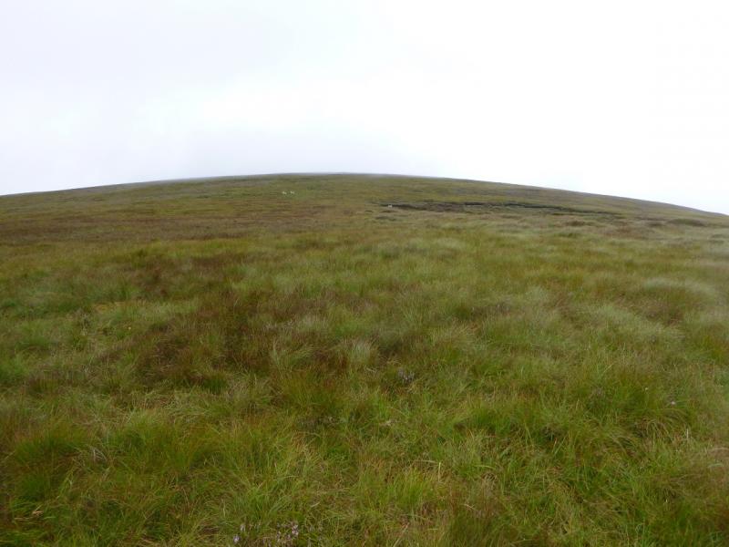
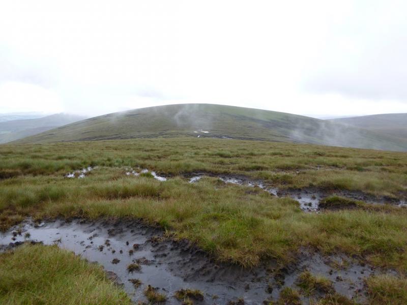
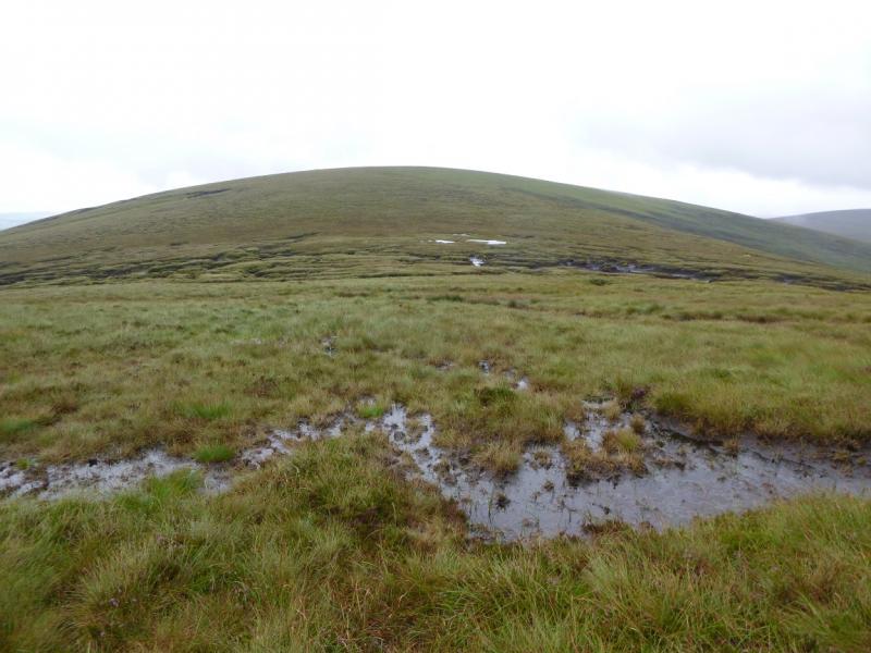
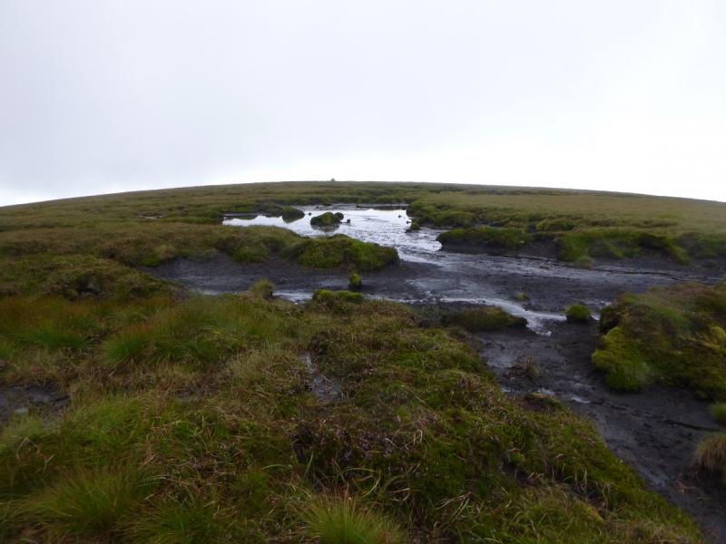
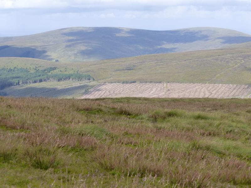
This is a high moorland walk with some peaty and boggy sections. In a warm dry spell, much of the peat is easily walked across. There are good views from these hills especially to Tonelagee, the Wicklow Gap, Turlough Hill, the Mullachcleevaun range and Pollaphuca Reservoir. In clear weather, navigation is straight forward. Navigation in mist would be a little taxing and the bogs would be harder to avoid. You should be able to easily reset your GPS to the Irish National Grid System. The second section of the uphill track has self seeded in places and this gives an awkward 20 – 30 metres which will get worse as the conifers grow towards maturity. Note that the 1994 map shows more forestry than was present in 2014. At the end of the access track/path, there is no forest to the N and it looks like there never has been.
Route
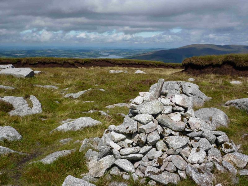
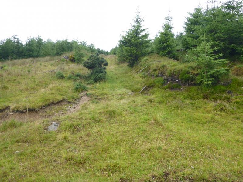
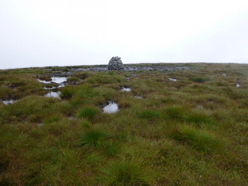
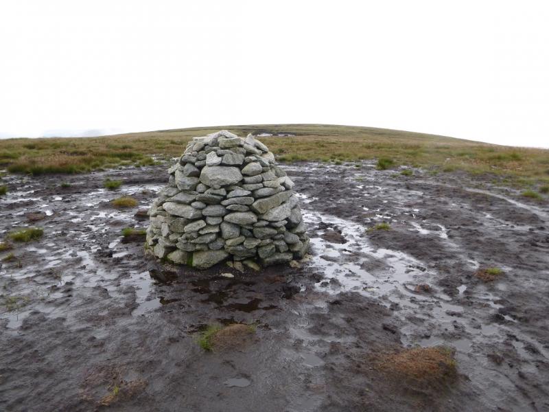
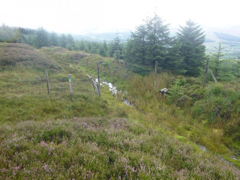
(1) Walk up the track on the left, N, of the road. The barrier will have to be climbed over unless you are a proficient limbo dancer! About 100 m past the barrier, a rough grassy track goes left up a fire break. There is a similar track going downhill on the right. Walk up the faint path in the fire break. It eventually meets the main track again. Cross over and continue on a not very obvious similar track. The awkward self seeded section is soon met. Beyond here, the path can be quite wet and mossy. Follow it to a gate in a fence. Note carefully this point as it will be needed in descent. This is almost due S of the summit so start heading N up gently sloping grassy and heathery slopes. After about 1.5 km, the ground flattens out and a medium cairn is reached which is the summit of Silsean, 698 m although some will wonder if it is indeed the highest point.
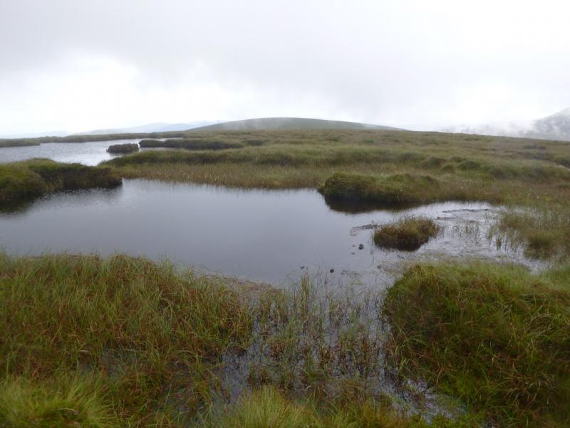
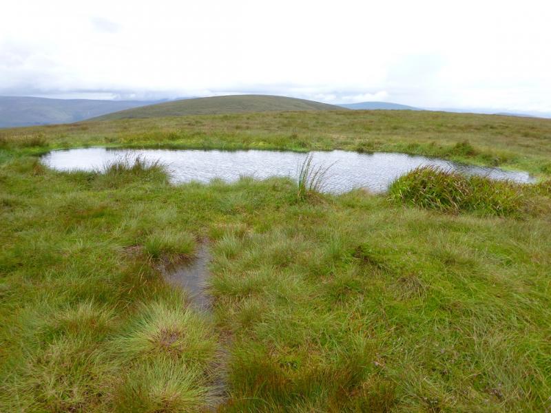
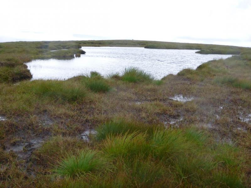
(2) Walk NE, descending easy slopes with boggy channels across them which will necessitate frequent detours. Reach a broad col which is even boggier then continue up similar slopes to reach a grassy plateau with no cairn but there is a pool about 8 m by 3 m on what could be the highest point of Moanbane, 703 m.
(3) Retrace the outward route, taking care to locate the gate at the top of the forest. When the main track is crossed, either retrace the outward route or walk down the main track back to the start.
Notes
(a) This walk took place on 8th August, 2014.
(b) There is an excellent camping and caravan site, in the village of Donard, called Moat Farm. It has beautiful landscaped grounds, including a stone circle (!) and is very well laid out with free hot showers. There is a large campers’ kitchen with tables and sinks but bring your own cooking equipment and pans. There is a fridge and freezer. There is also a sitting room with a TV. The owner and staff are very welcoming, very friendly and very helpful. You would be hard pressed to find a nicer site. Donard is about 4 miles from the Glen of Imaal stores (where you can buy a sandwich). Donard is signposted off the N 81 main road between Blessington and Baltinglass. More about Moat Farm in its own section!
Photos - Hover over photo for caption. Click on to enlarge. Click on again to reduce.